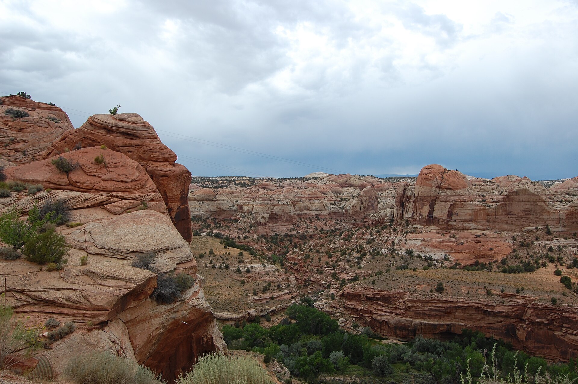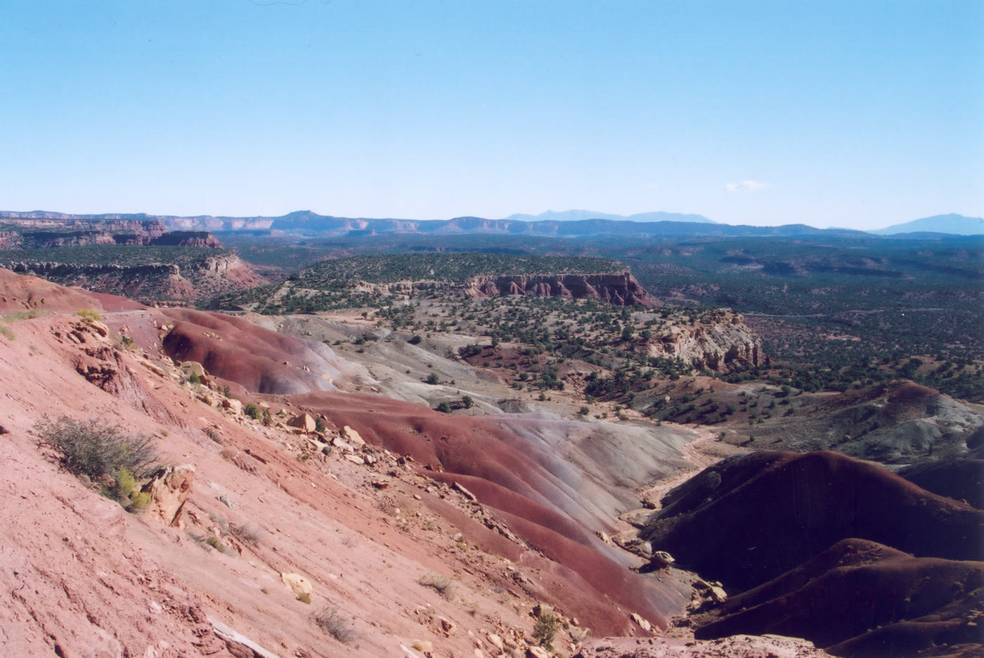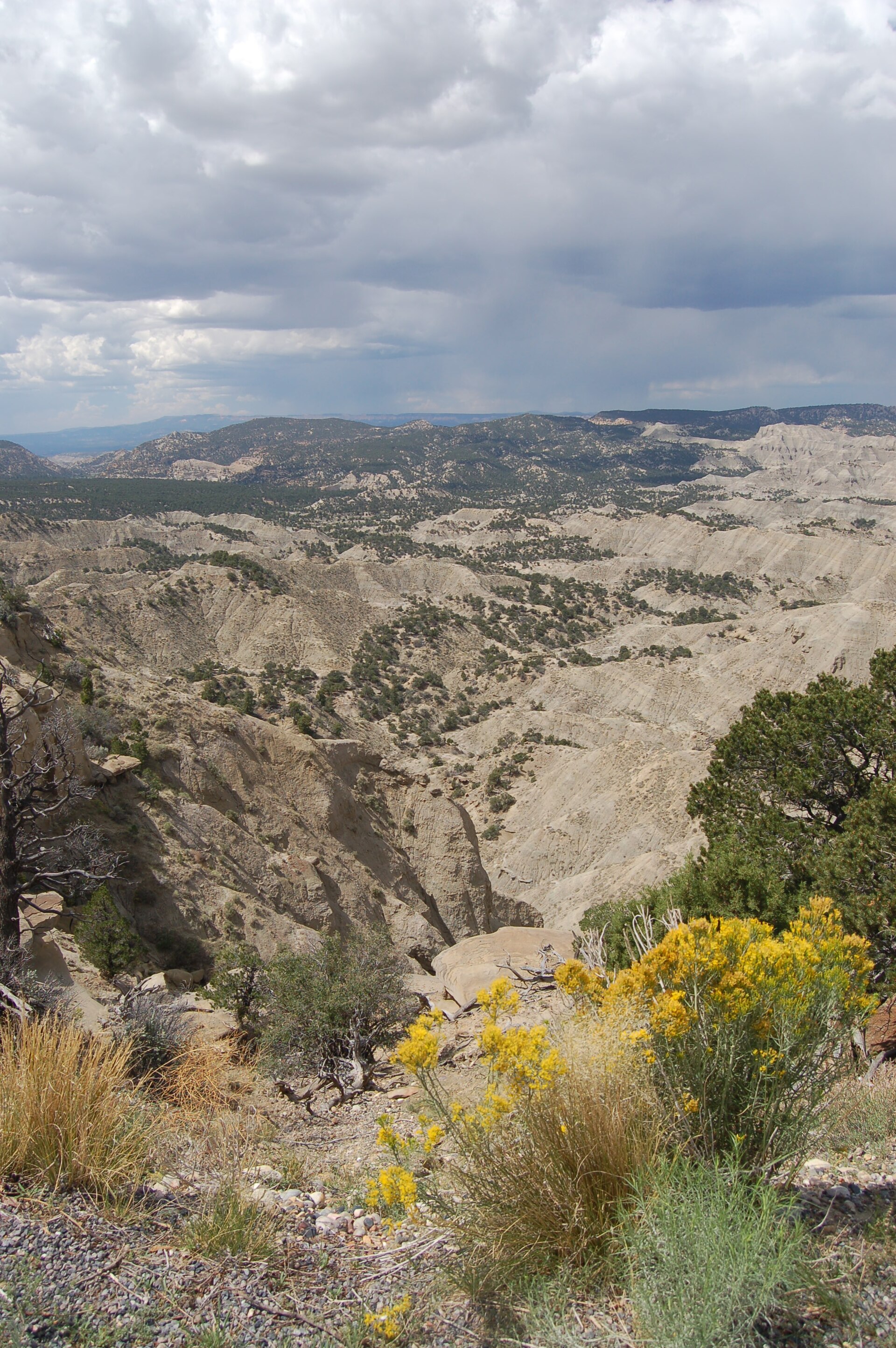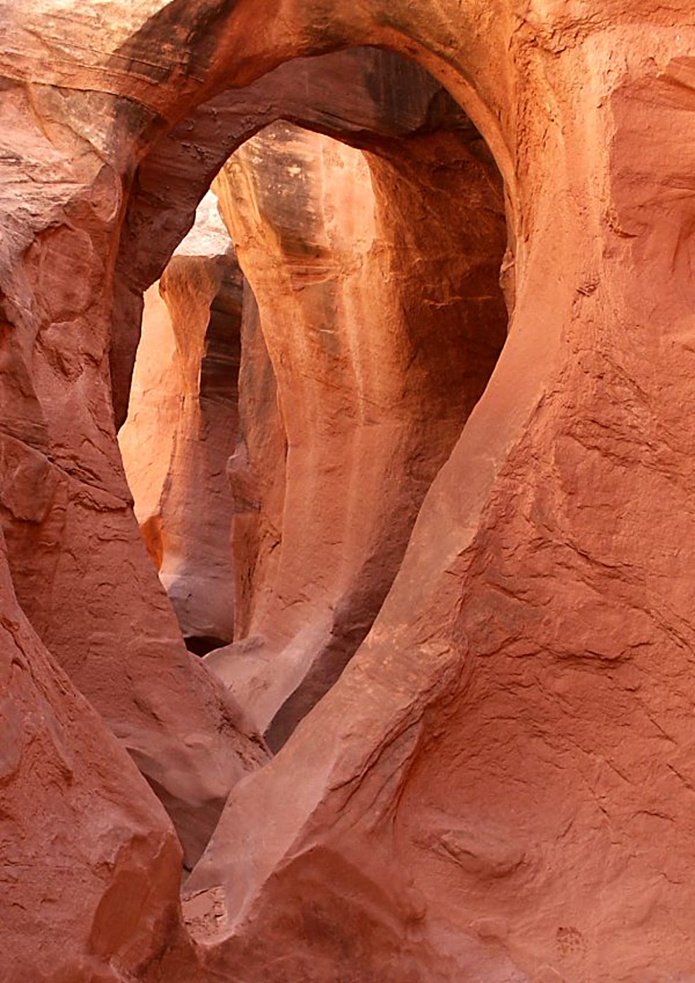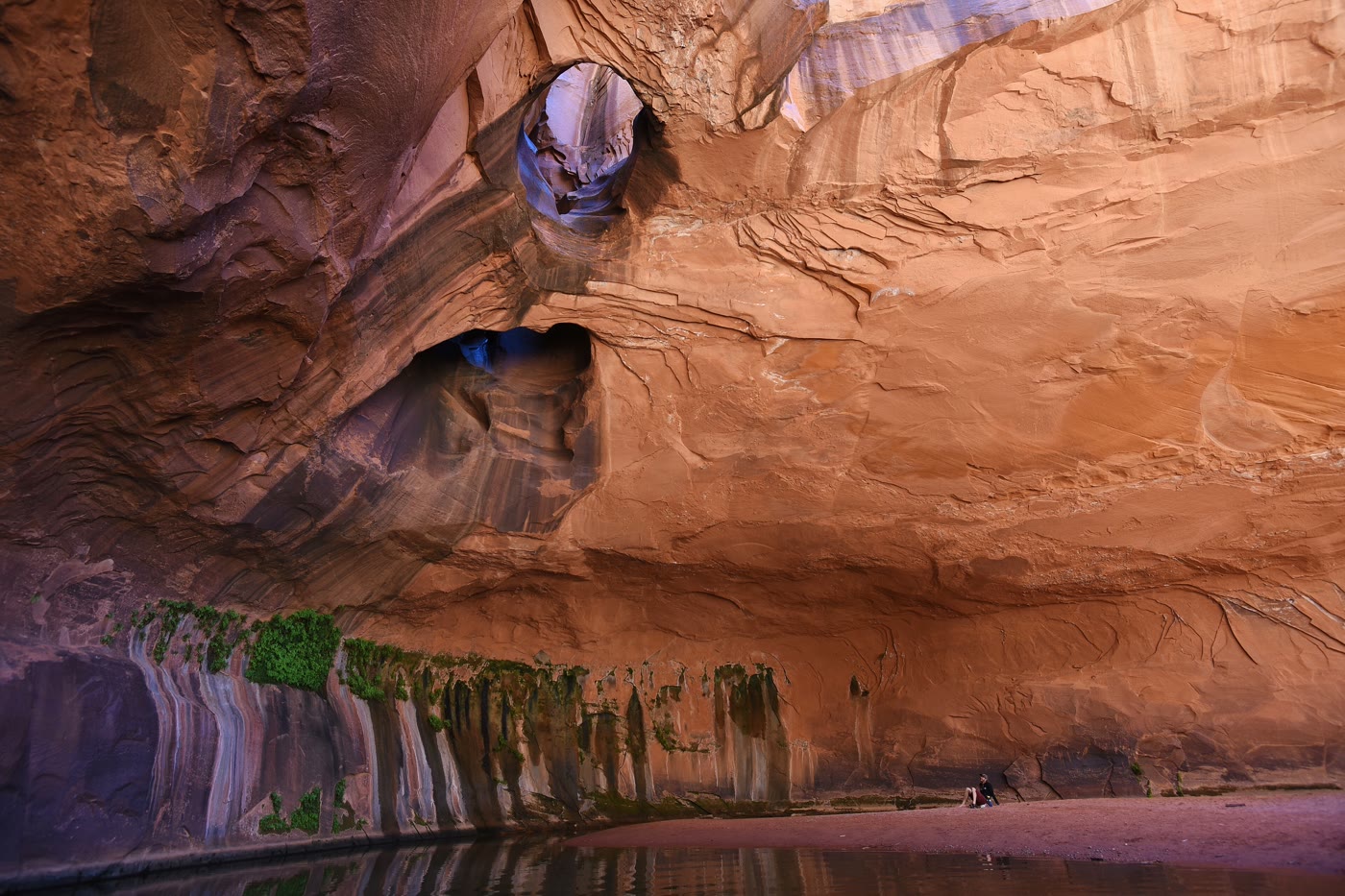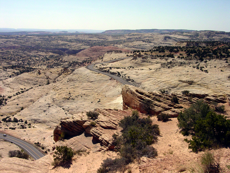
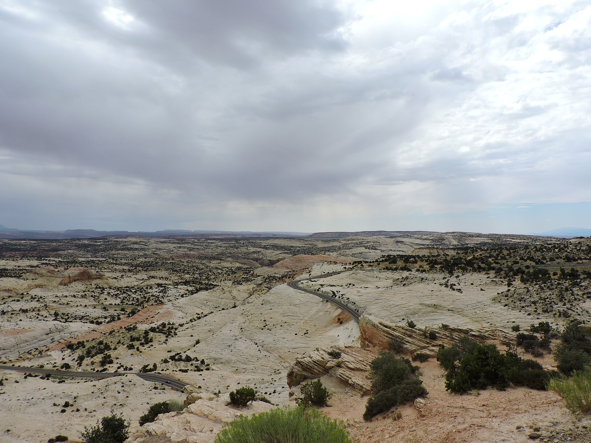
Fig. 1Highway 12 on Navajo slickrock from Head of the Rocks
Landform
A Highway 12 wayside over Navajo slickrock and the Escalante canyon headwaters — not Calf Creek and not the Burr Trail.
Field note
From Escalante, Highway 12 reaches this BLM wayside in ten miles, on the left. The road writes a single curve on pale stone. Boynton Overlook is three miles farther east. This plate is Head of the Rocks, not Boynton and not Calf Creek.
Head of the Rocks is the BLM Highway 12 wayside ten miles east of Escalante, over Navajo slickrock at the Escalante canyon headwaters. Boynton Overlook is three miles farther east. This plate is the slickrock wayside, not Boynton and not Calf Creek.