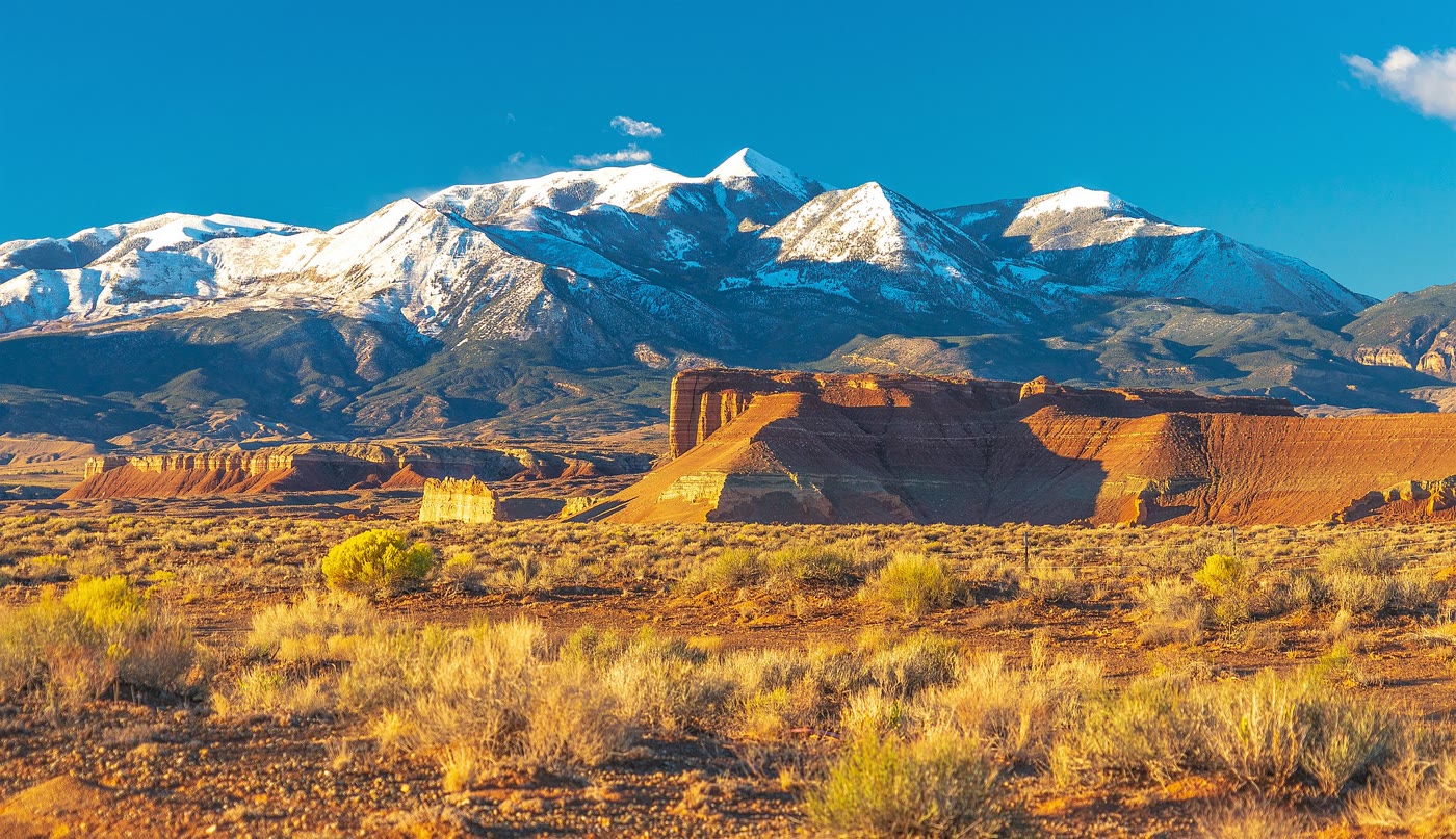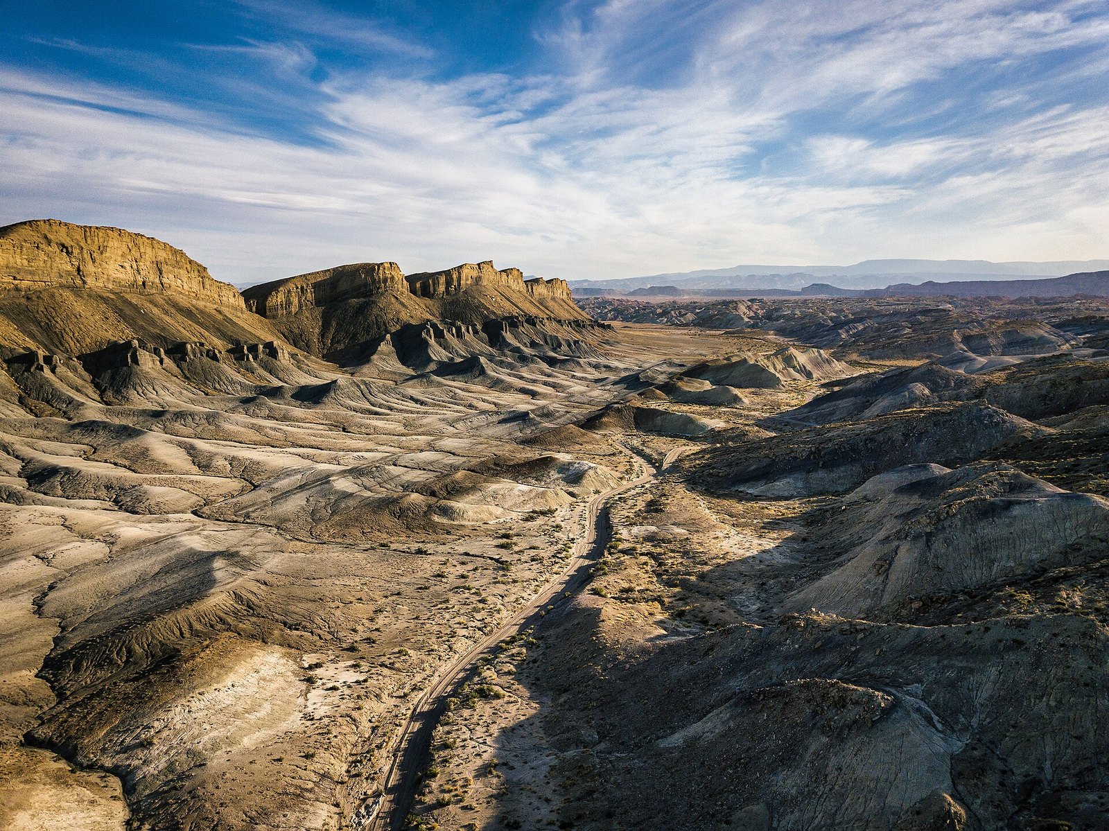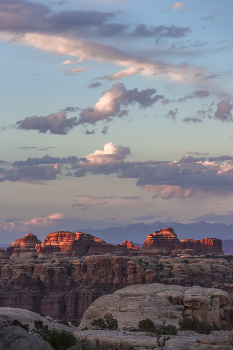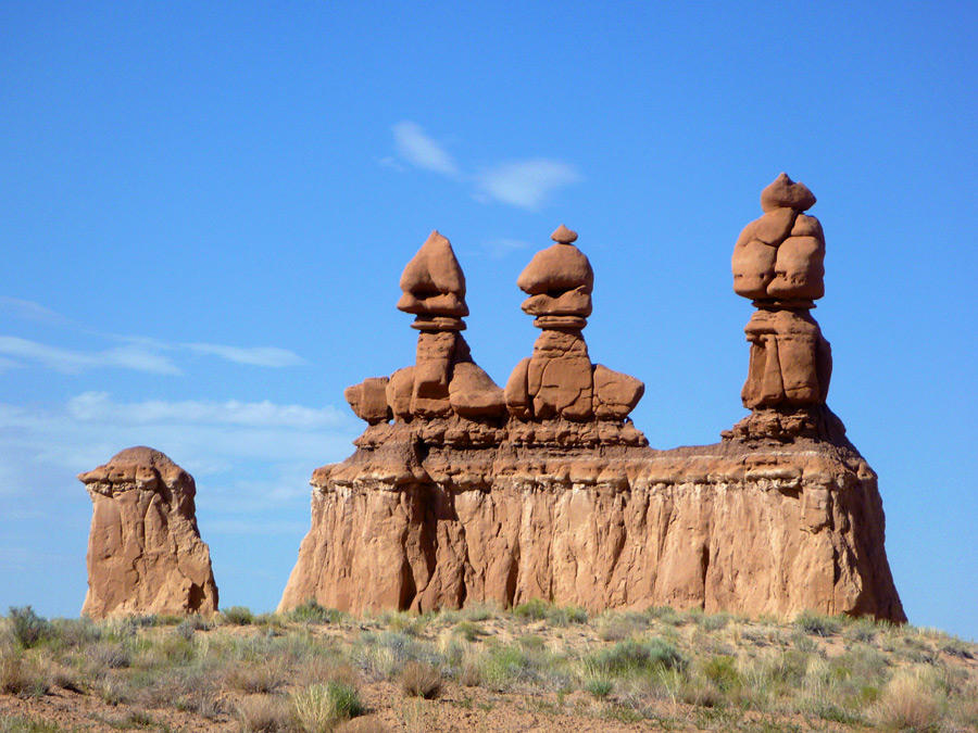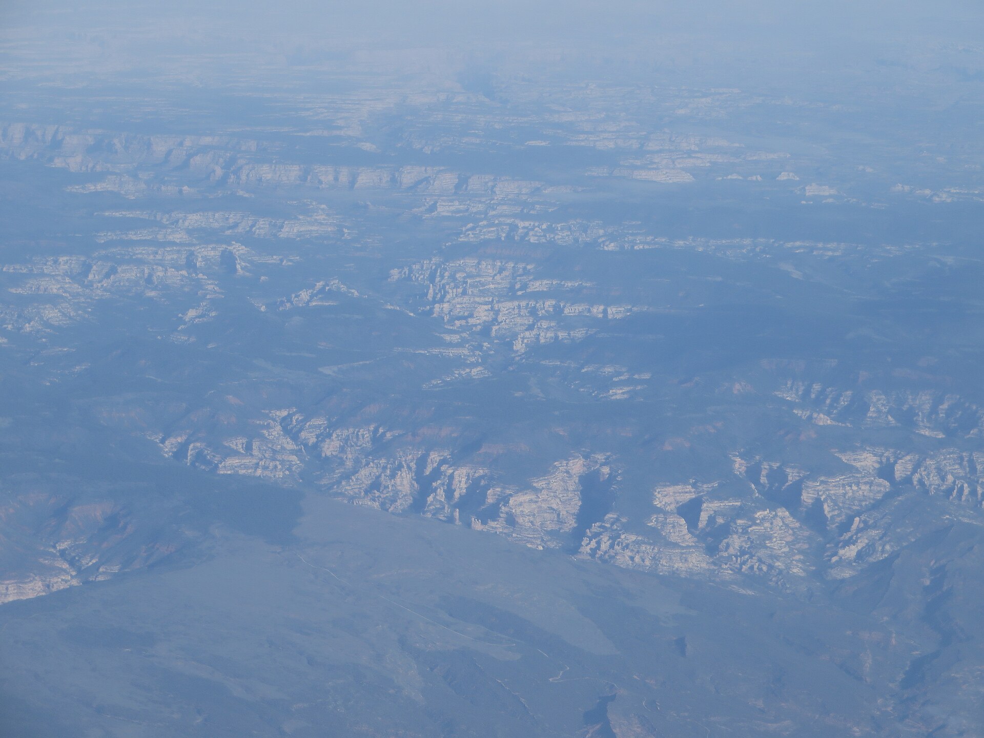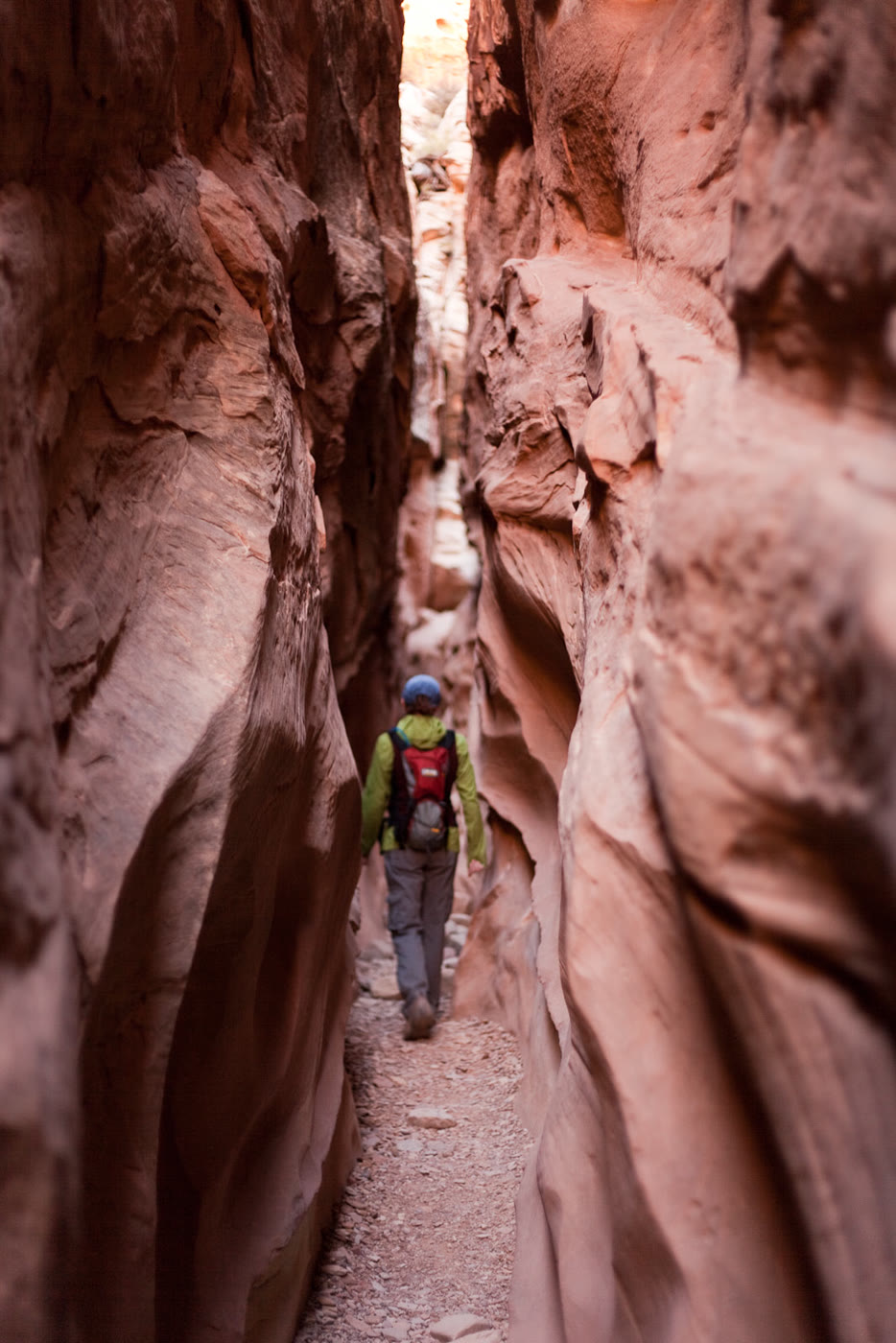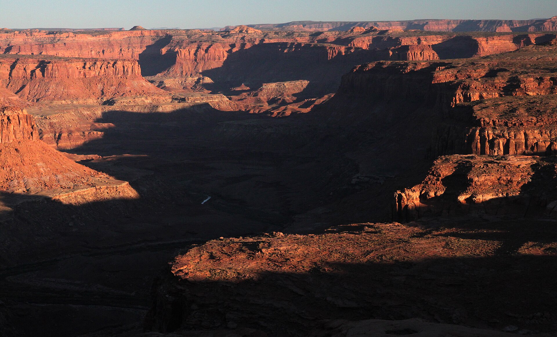
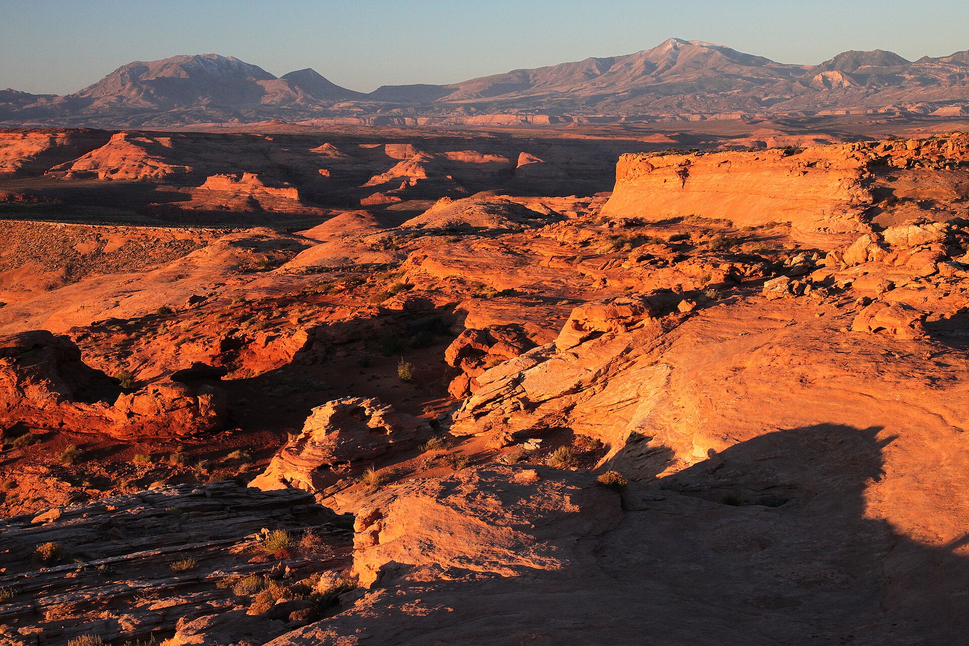
Fig. 1The Dirty Devil canyon from Burr Point Overlook
Landform
A BLM Burr Desert rim over the Dirty Devil — 11 miles east of SR-95 at milepost 17, not the Burr Trail and not The Wedge.
Field note
The dirt road ends on the cliff tops. The Abajos, La Sals, and Henrys hold the sky. No developed facilities. This plate is Burr Point Overlook (Recreation.gov), not the Burr Trail and not The Wedge.
Burr Point Overlook is the BLM Dirty Devil rim eleven miles east of SR-95 at milepost 17. Recreation.gov holds the pin. No developed facilities. This plate is Burr Point, not the Burr Trail and not The Wedge.