Landform
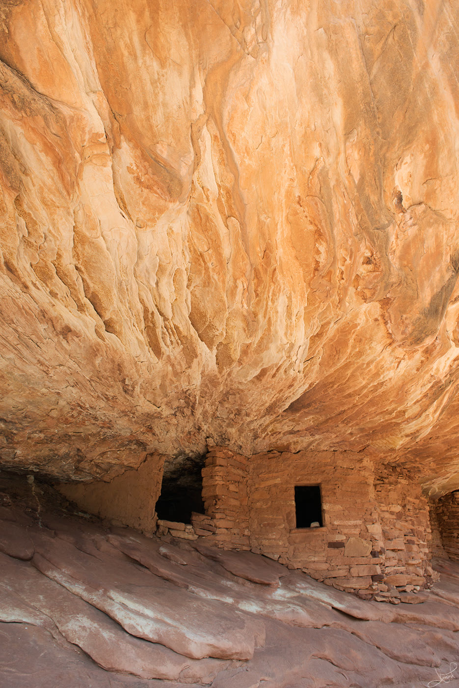
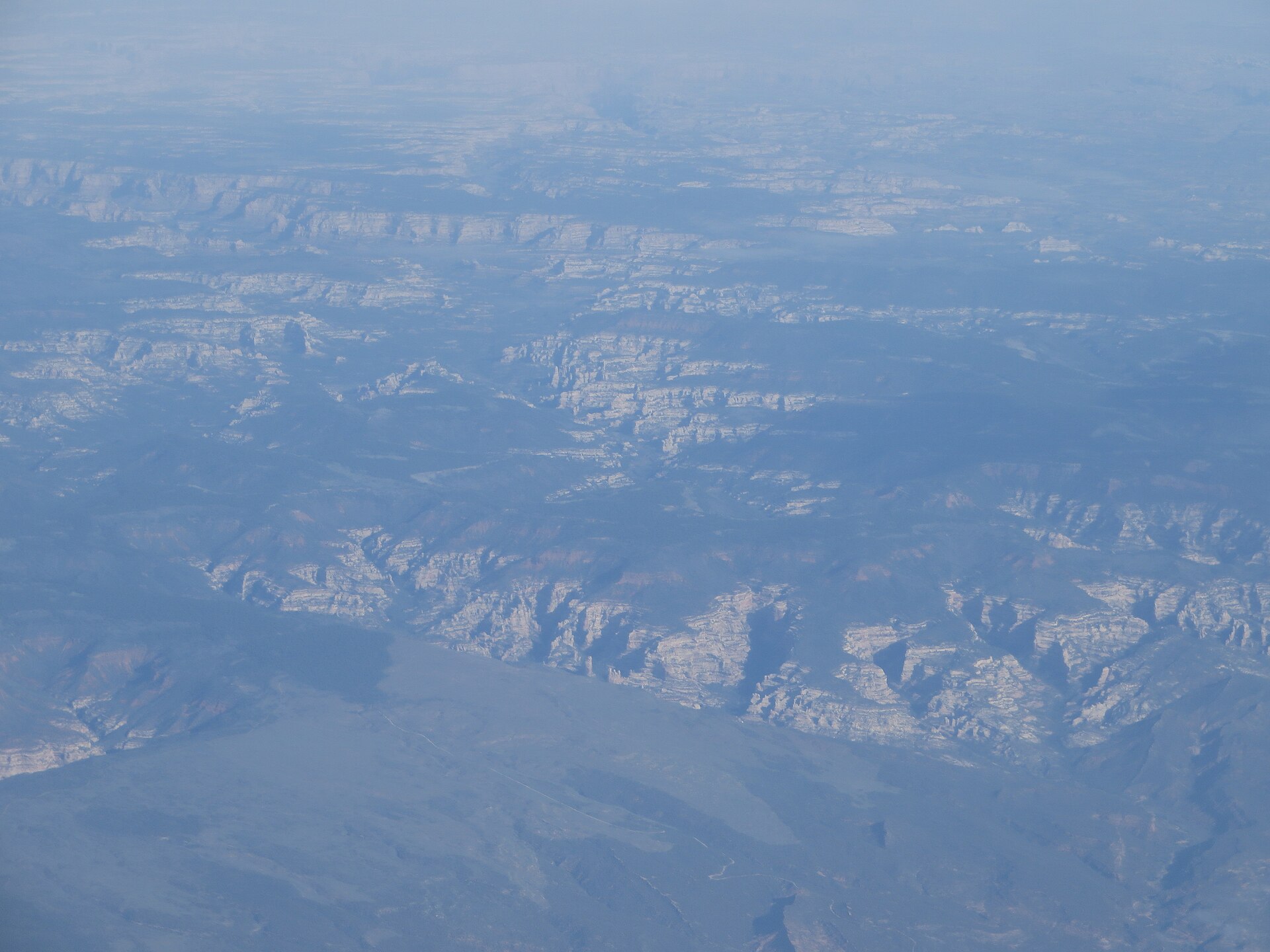
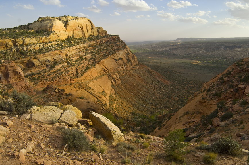
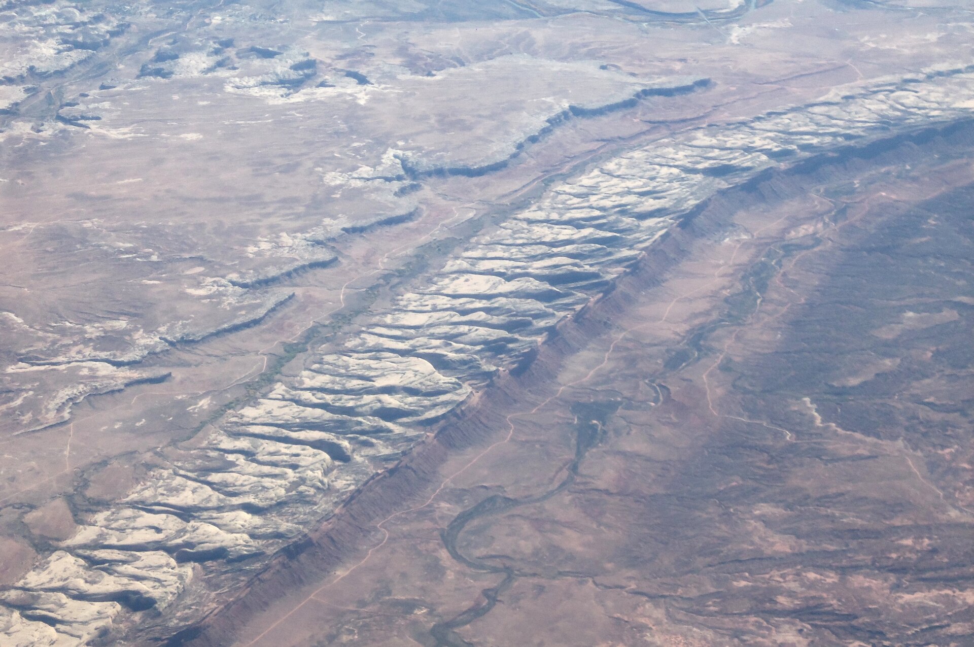
An eighty-mile sandstone monocline over Comb Wash — corridor views from the wash and UT-95, not a ruin close-up and not House on Fire.
Field note
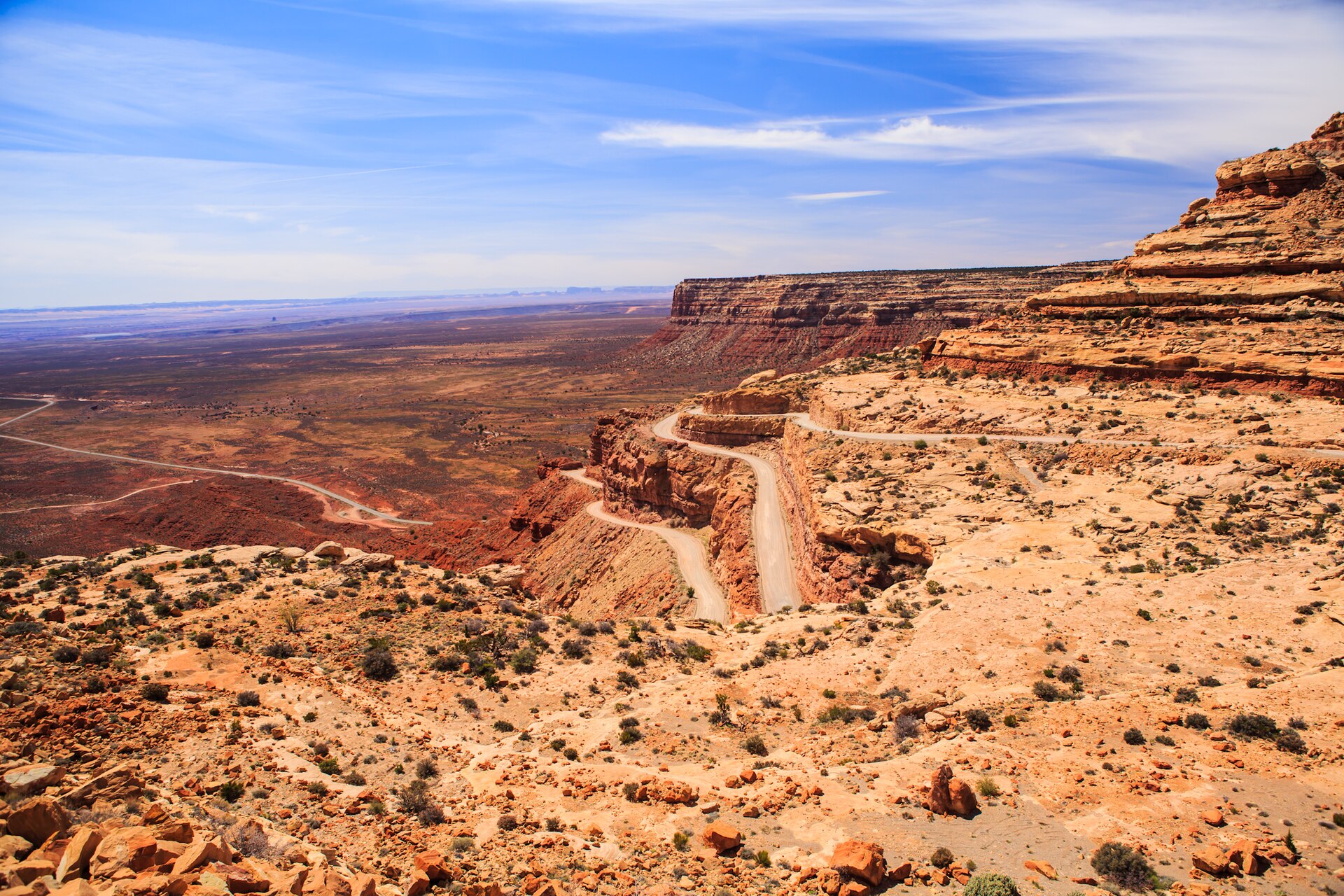
Corridor views from Comb Wash at UT-95 and County Road 235. Comb Wash Campground (first-come) sits in the wash under the hogback. Stay on public roads; this is a scenic corridor, not a ruin close-up. This plate is Comb Ridge, not House on Fire and not Muley Point.
Comb Ridge is the long Cedar Mesa monocline over Comb Wash. The pin is the UT-95 / Comb Wash corridor, not a ruin. Comb Wash Campground (first-come) sits under the hogback. Stay on public roads. This plate is Comb Ridge, not House on Fire.