Fig. 1
Delaware Water Gap, Pennsylvania
Landform
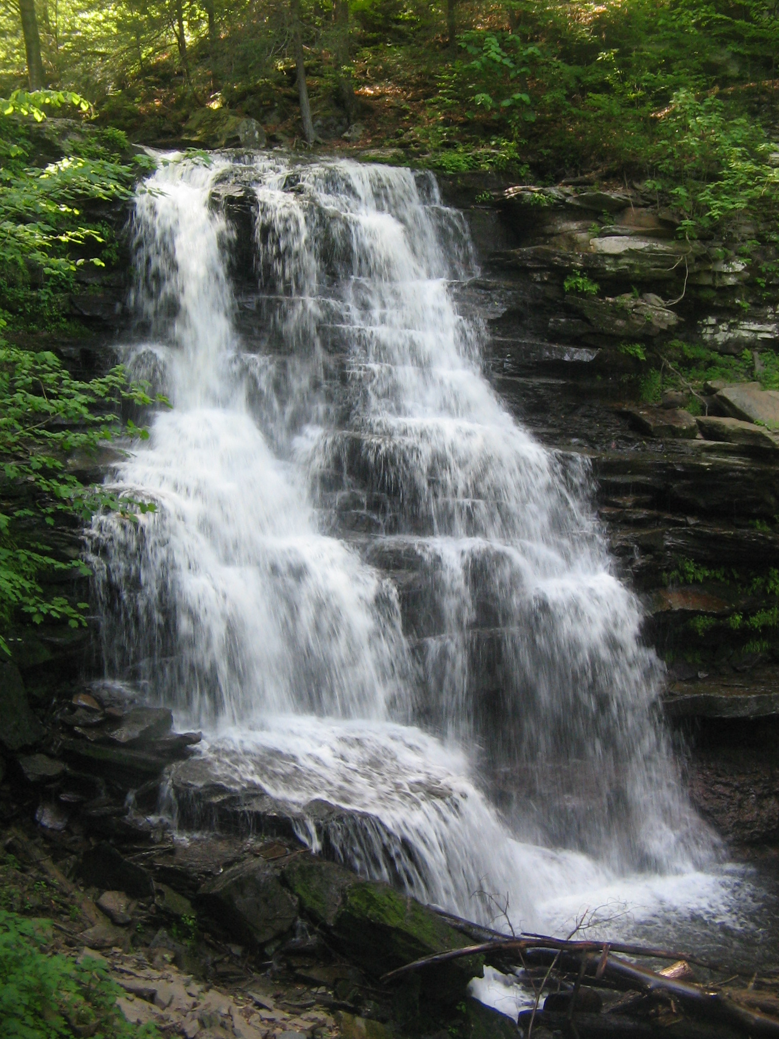
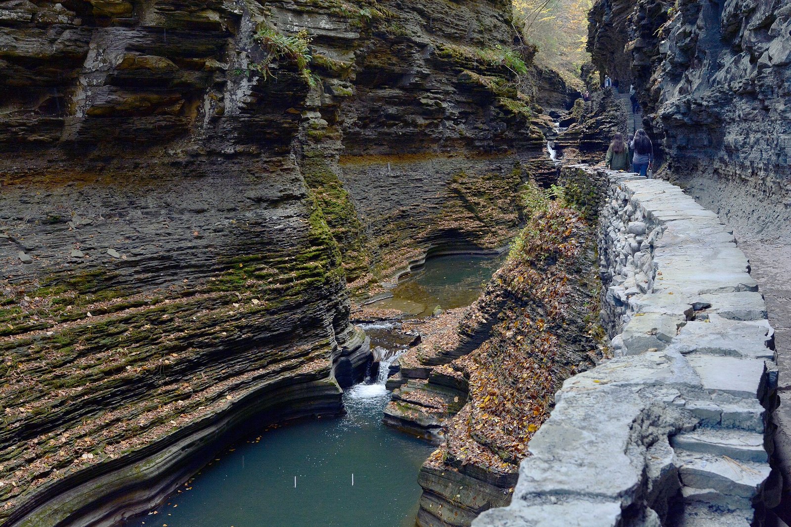
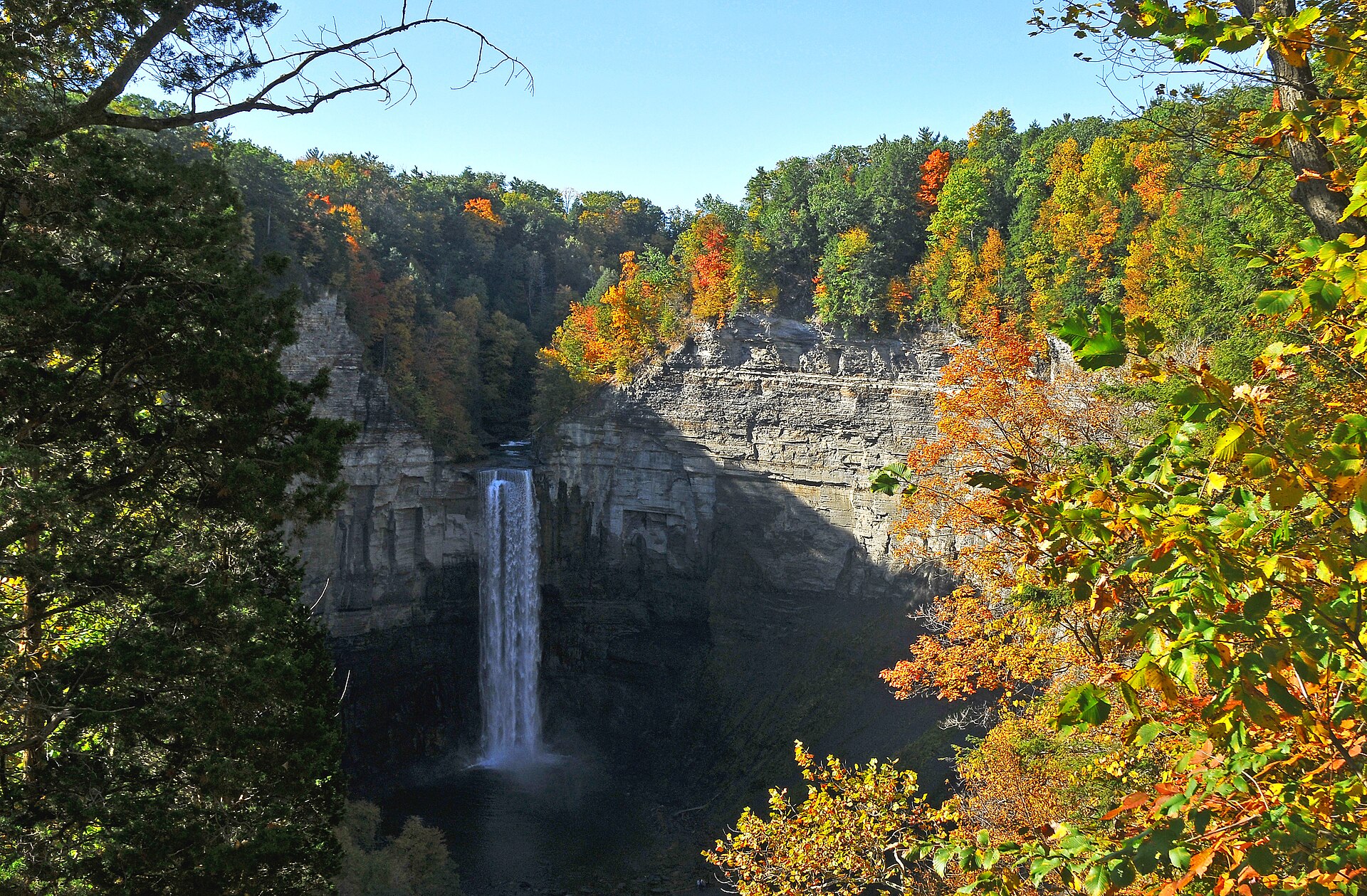
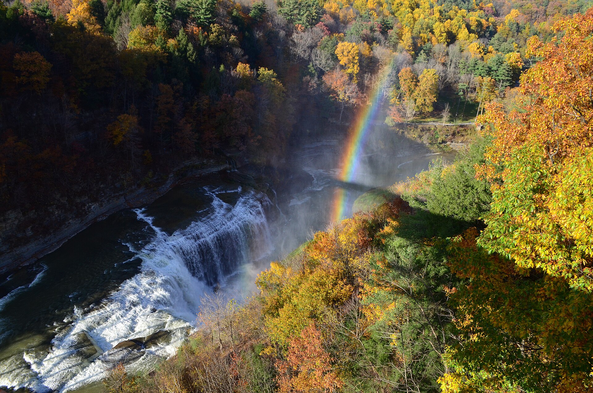
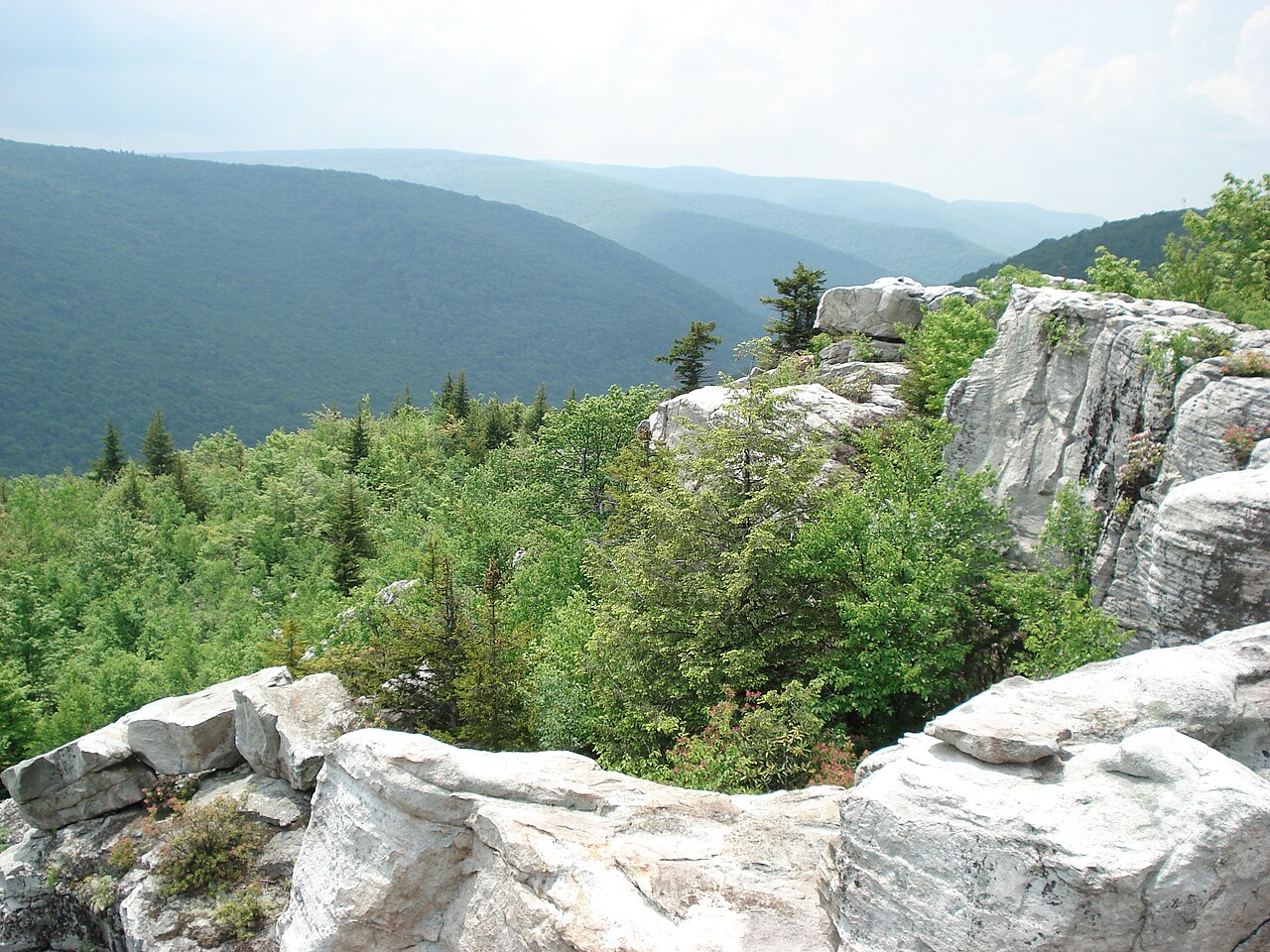
The Delaware River cutting through Kittatinny Ridge, with Dingmans Falls and other drops on the Pennsylvania side.
Field note
The National Park Service administers the Delaware Water Gap National Recreation Area on both banks of the Delaware. The gap is the river's cut through Kittatinny Ridge. Mount Tammany is the New Jersey viewpoint. Dingmans Falls drops on the Pennsylvania side. This plate fills a New Jersey gap in the atlas and shares the ground with Pennsylvania.