The Field Atlas
0/363Older stone
East destinations in the USA
The East is older stone and closer towns. Gorges, hardwood, and Atlantic granite still make a field book.
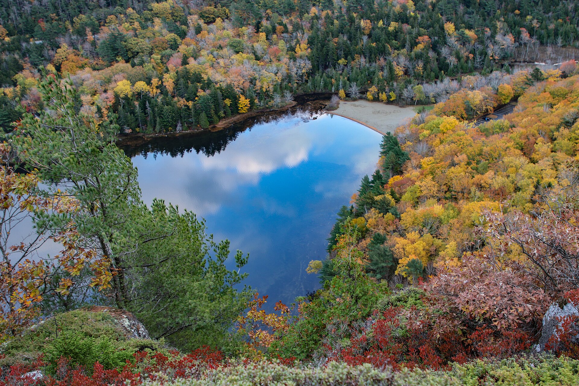
FrontispieceAcadia, Maine
These plates are for travel that leaves the interstate for a cut in the plateau. Panthertown’s granite valley and the Joyce Kilmer poplars sit in the Nantahala, off the parkway. Cranberry Glades is the Monongahela bog on the Allegheny Plateau. Gulf Hagas is the slate gorge on the Pleasant River in the Maine woods. Little River Canyon is the mountaintop river on Lookout Mountain in Alabama.
- Plates
- 23
- States
- 11
East
The plates
Plate XXIVAcadia
coastMount Desert Island, Maine
Granite mountains that remember the ice, now washed by tide.
44.3° N · 68.3° WOpen plate →
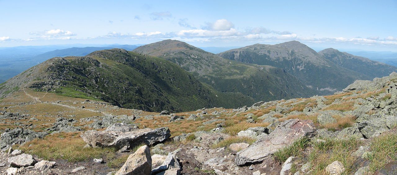 Plate XXV
White Mountains
alpineNorthern Appalachians, New Hampshire
Old mountains with a young, fierce sky.
44.3° N · 71.3° WOpen plate →
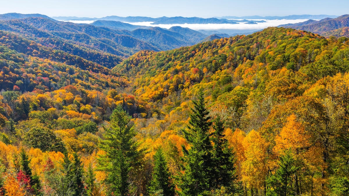 Plate XXVI
Great Smoky Mountains
forestSouthern Appalachians, Tennessee / North Carolina
A forest so old it makes its own blue weather.
35.6° N · 83.5° WOpen plate →
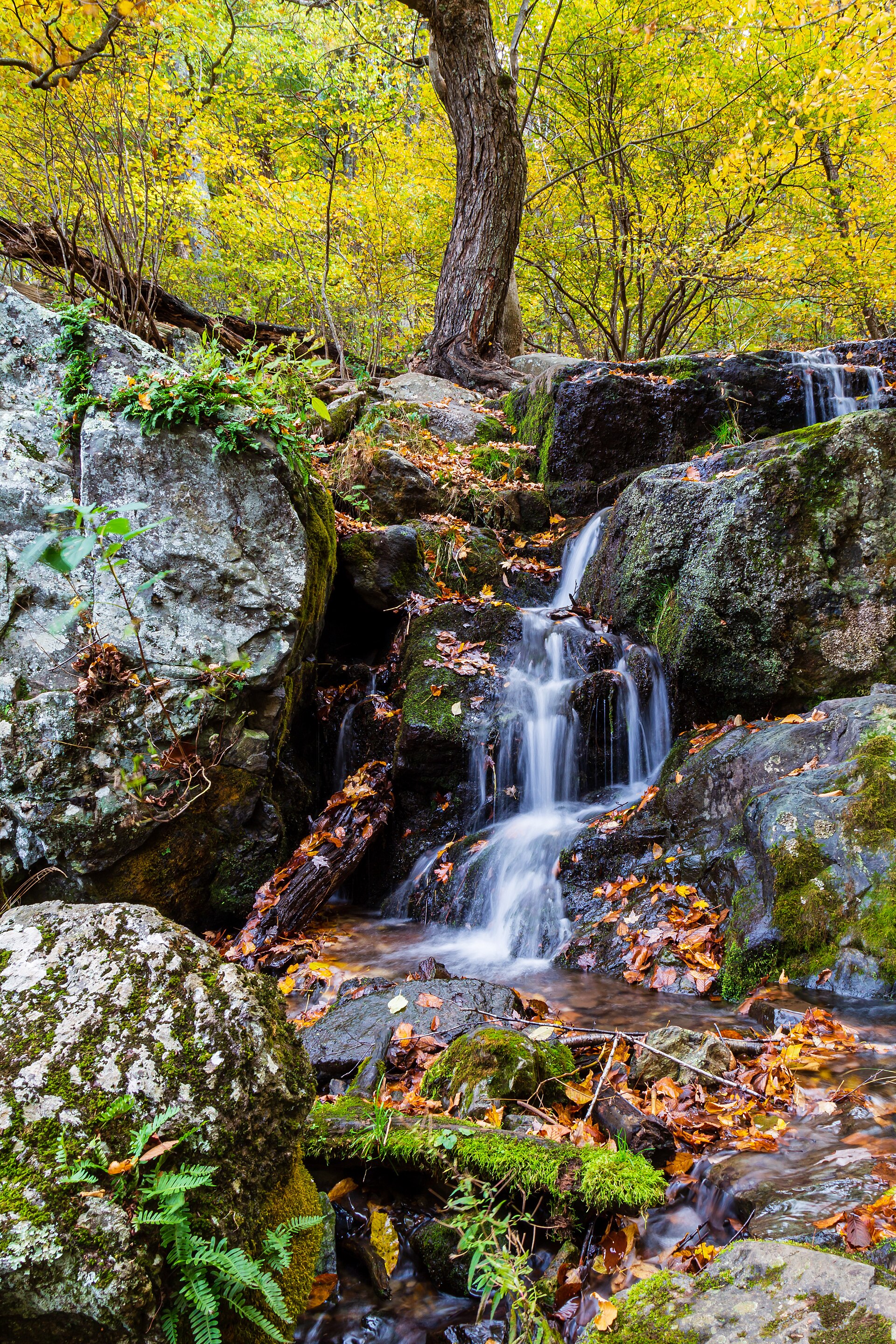 Plate XLIX
Shenandoah
forestBlue Ridge, Skyline Drive, Virginia
A mountain road through a hundred miles of October.
38.3° N · 78.7° WOpen plate →
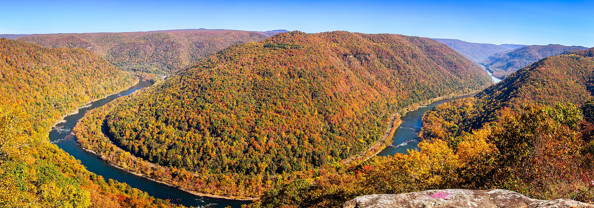 Plate L
New River Gorge
canyonAppalachian Plateau, near Fayetteville, West Virginia
An old river in a young park, under a high thin bridge.
38.1° N · 81.1° WOpen plate →
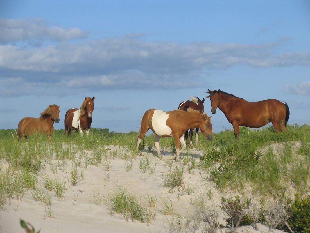 Plate LI
Assateague
coastAtlantic barrier island, Maryland / Virginia
A thin island the Atlantic is still rewriting.
38.1° N · 75.2° WOpen plate →
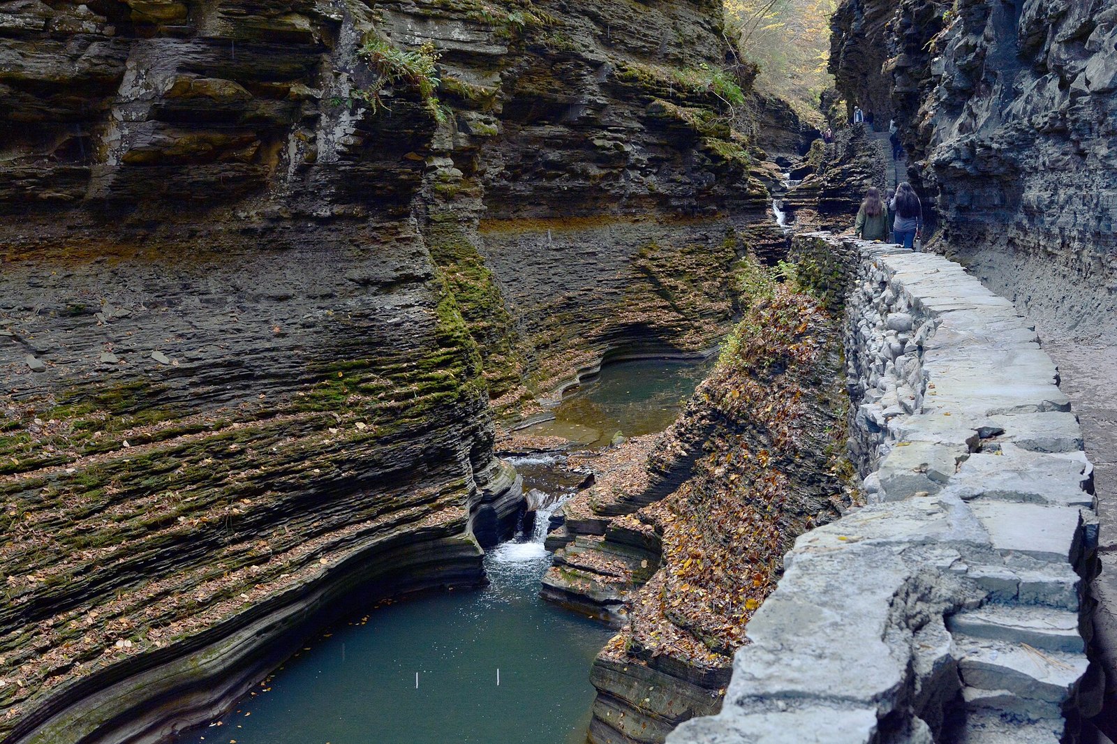 Plate LXXIV
Watkins Glen
canyonFinger Lakes, south end of Seneca, New York
A staircase of water hidden in a fold of New York.
42.4° N · 76.9° WOpen plate →
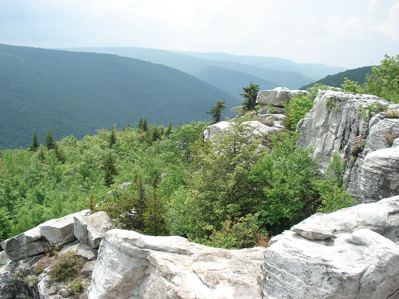 Plate LXXV
Dolly Sods
hillsAllegheny Plateau, West Virginia
A northern bog set down on a southern mountain.
39.0° N · 79.4° WOpen plate →
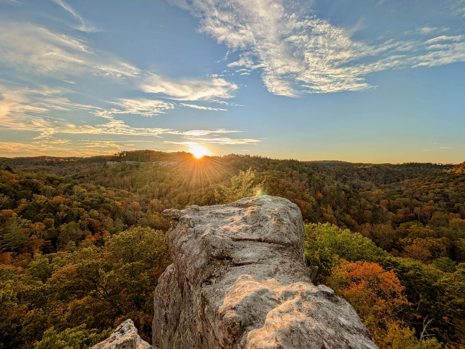 Plate LXXVI
Red River Gorge
canyonDaniel Boone National Forest, Kentucky
A hidden canyon of arches under a Kentucky forest.
37.8° N · 83.6° WOpen plate →
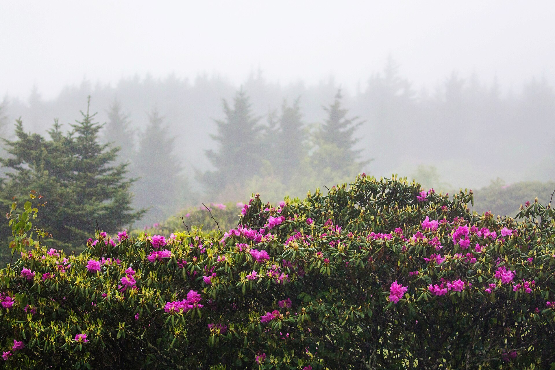 Plate LXXXIV
Pisgah
forestBlue Ridge, near Brevard, North Carolina
Where the East learned to grow a forest back.
35.3° N · 82.8° WOpen plate →
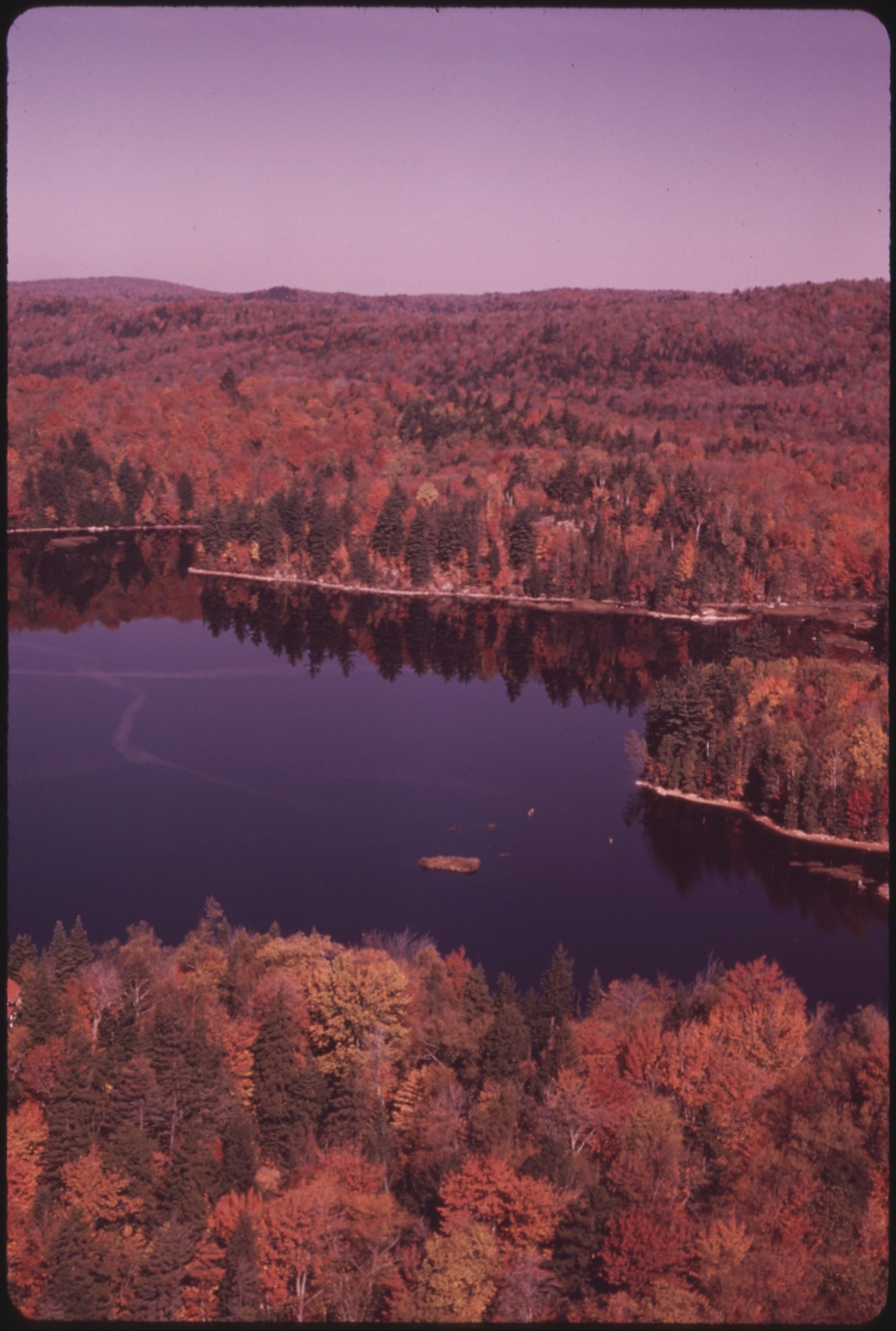 Plate LXXXVIII
Adirondack High Peaks
alpineAdirondack Park, New York
A wilderness the size of a state, wearing a New York address.
44.2° N · 73.9° WOpen plate →
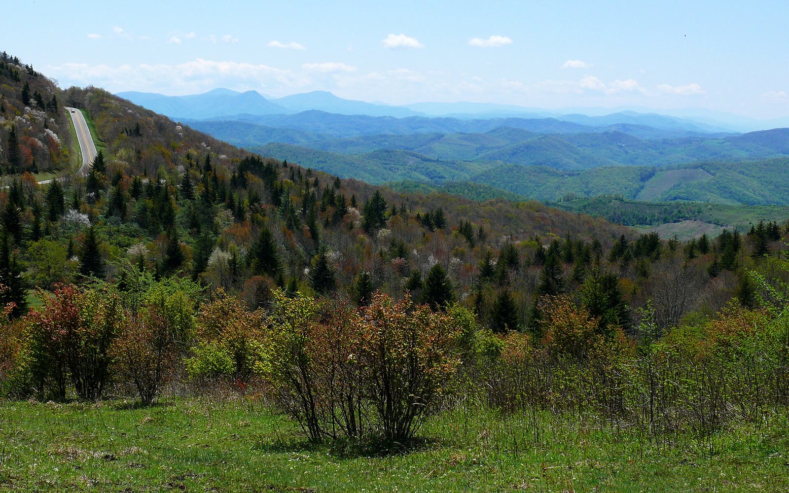 Plate CCLXXVII
Grayson Highlands
hillsMount Rogers high country, Grayson County, Virginia
A highland bald the ponies still keep.
36.6° N · 81.5° WOpen plate →
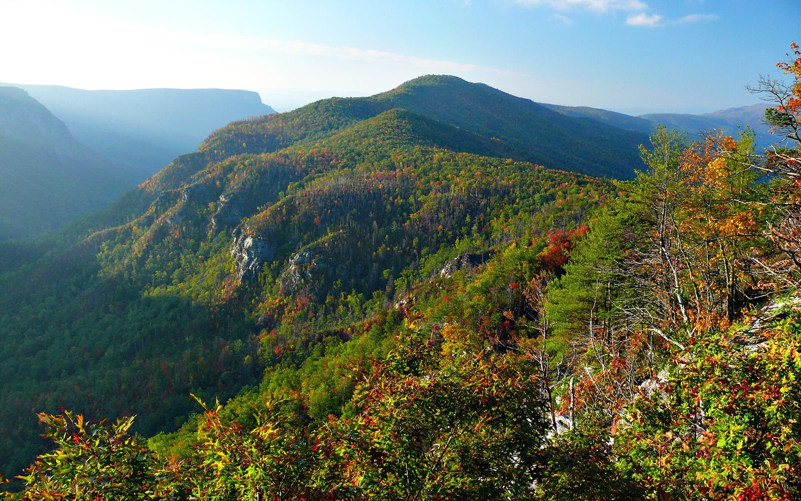 Plate CCLXXVIII
Linville Gorge
canyonBlue Ridge escarpment, Burke County, North Carolina
The East’s deep gorge, still wearing fall.
35.9° N · 81.9° WOpen plate →
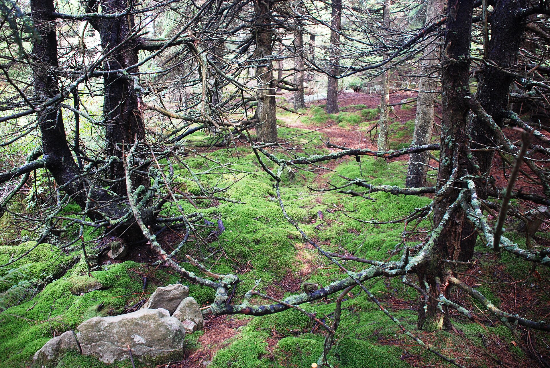 Plate CCLXXXIX
Spruce Knob
hillsMonongahela NF, Pendleton County, West Virginia
A spruce heath the East still keeps high.
38.7° N · 79.5° WOpen plate →
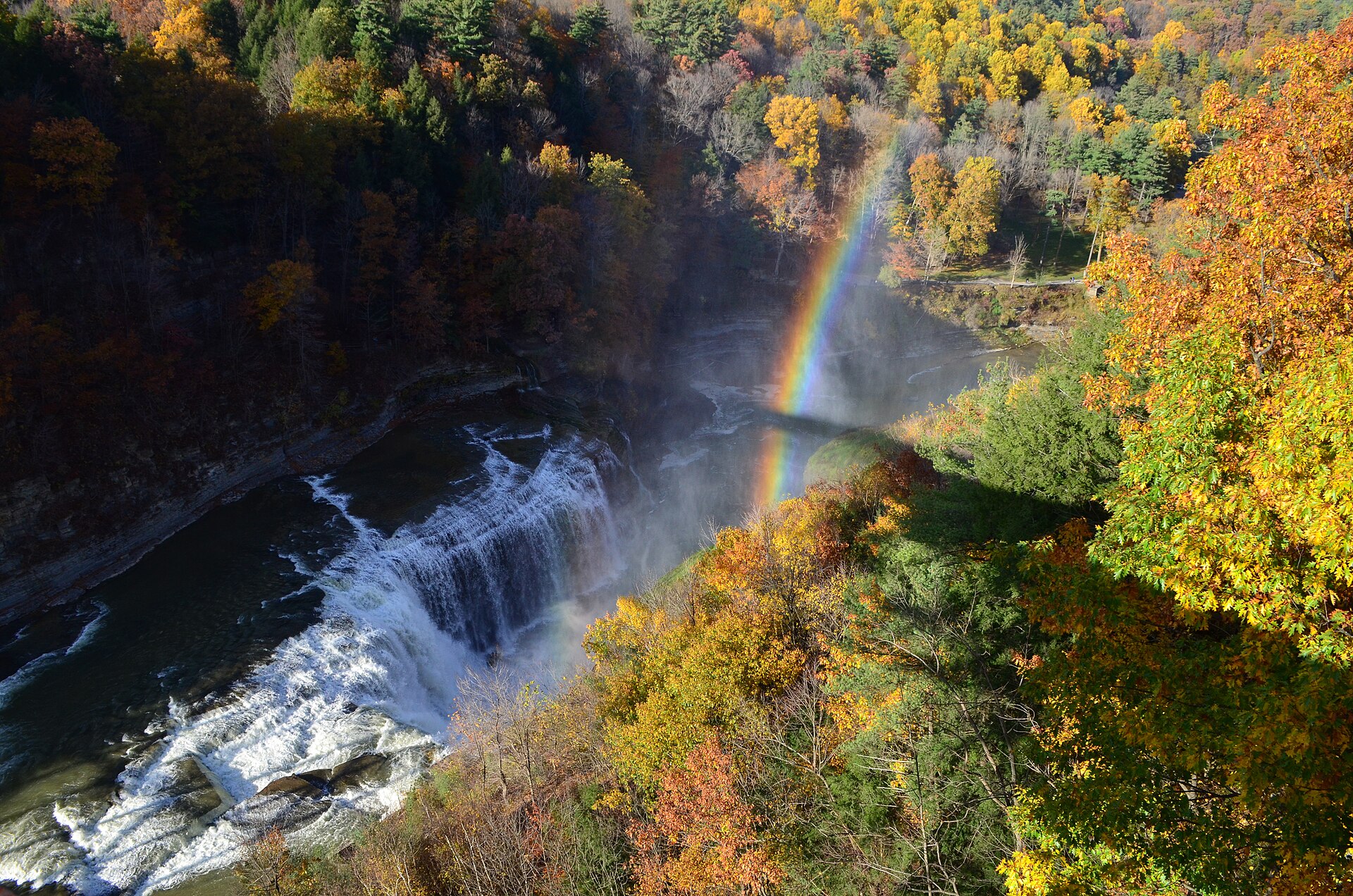 Plate CCCIX
Letchworth
canyonLetchworth State Park, Genesee Gorge, New York
Middle Falls, a rainbow, and October hardwood.
42.6° N · 78.0° WOpen plate →
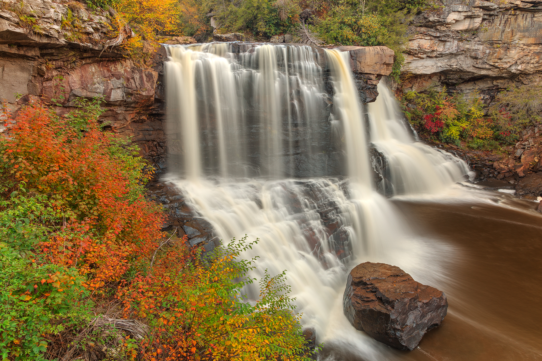 Plate CCCXIV
Blackwater Falls
forestBlackwater Falls State Park, Canaan Valley, West Virginia
Amber water over a Blackwater ledge in October.
39.1° N · 79.5° WOpen plate →
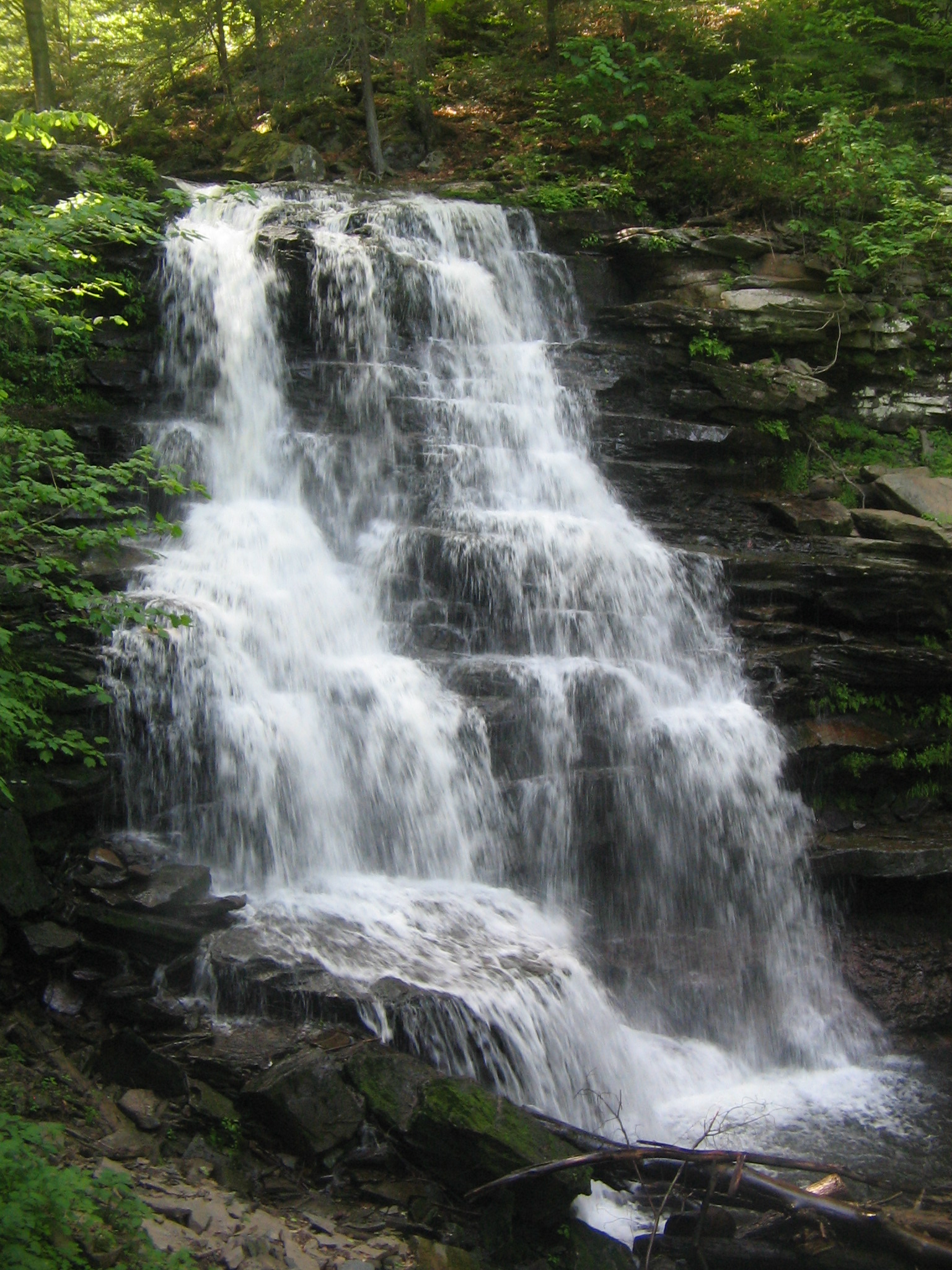 Plate CCCXV
Ricketts Glen
forestRicketts Glen State Park, Kitchen Creek, Pennsylvania
A hemlock stair of named falls.
41.3° N · 76.3° WOpen plate →
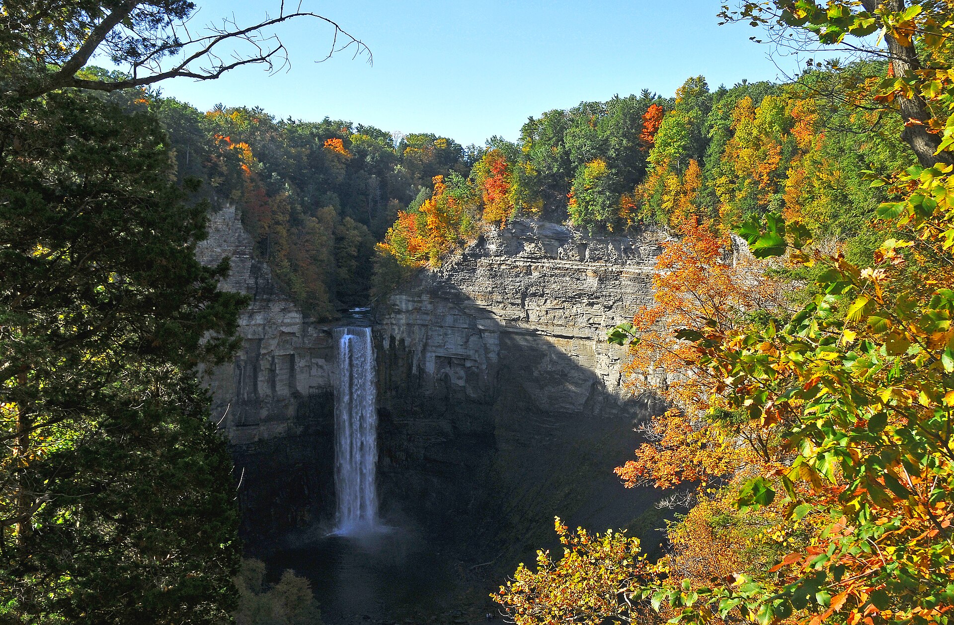 Plate CCCXVIII
Taughannock Falls
canyonTaughannock Falls State Park, Cayuga Lake, New York
A white thread in a limestone bowl of October.
42.5° N · 76.6° WOpen plate →
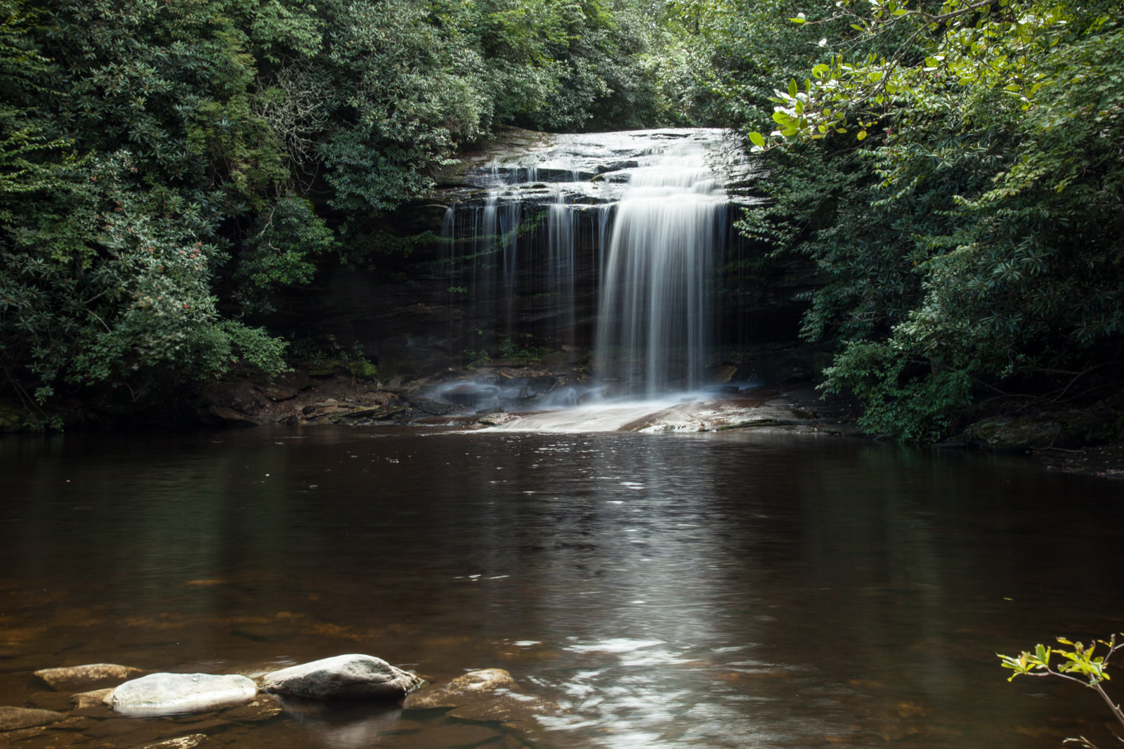 Plate CCCXL
Panthertown Valley
forestNantahala National Forest, Jackson County, North Carolina
A granite valley the highway never enters.
35.2° N · 83.0° WOpen plate →
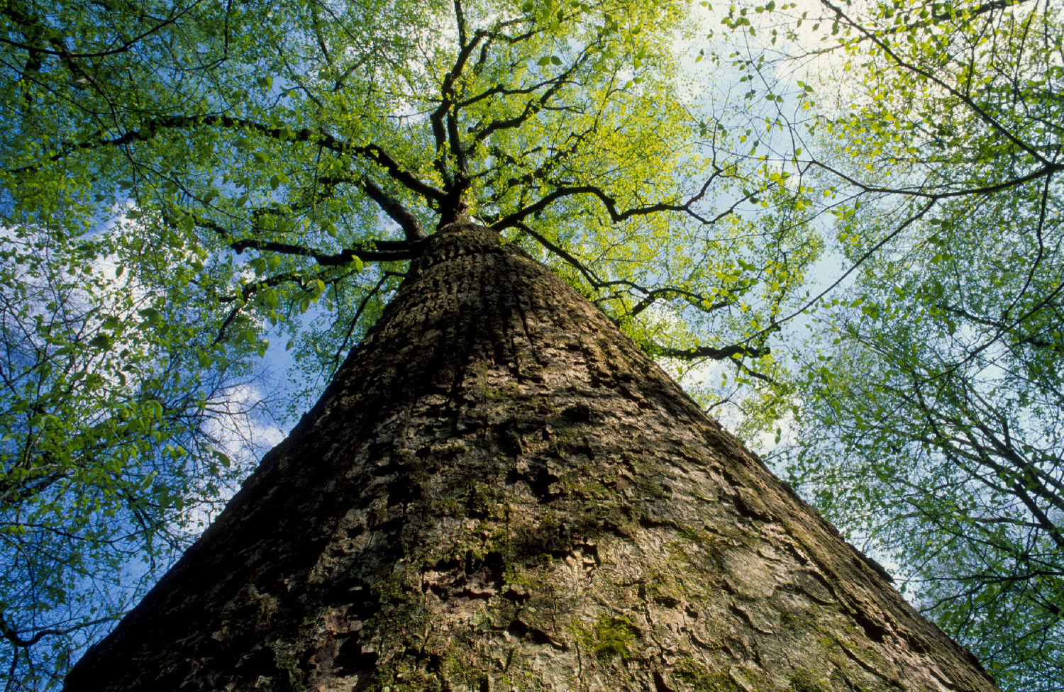 Plate CCCXLV
Joyce Kilmer Memorial Forest
forestNantahala National Forest, Graham County, North Carolina
Old poplar the East still has in one grove.
35.4° N · 83.9° WOpen plate →
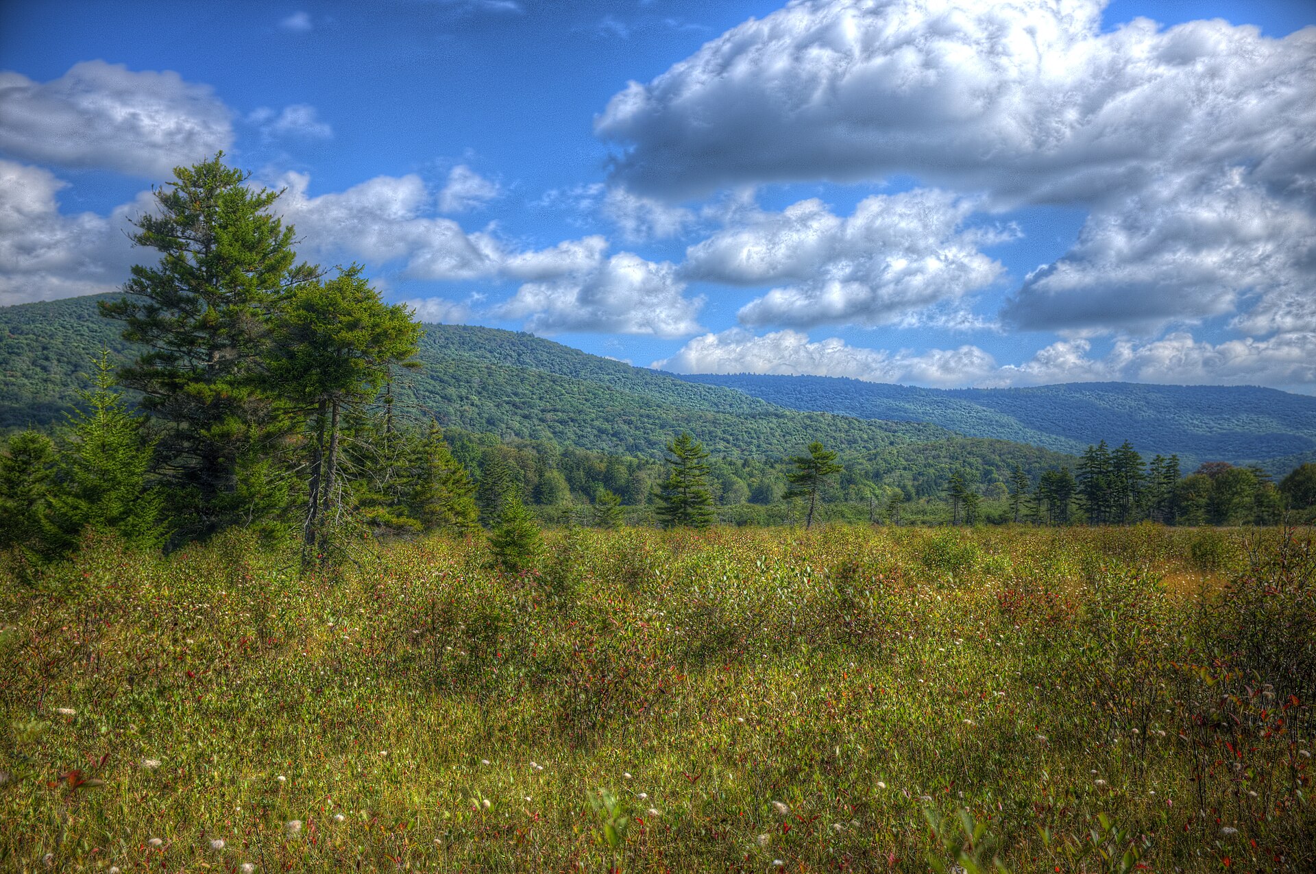 Plate CCCLII
Cranberry Glades
wetlandMonongahela National Forest, Pocahontas County, West Virginia
A northern bog on southern mountains.
38.2° N · 80.3° WOpen plate →
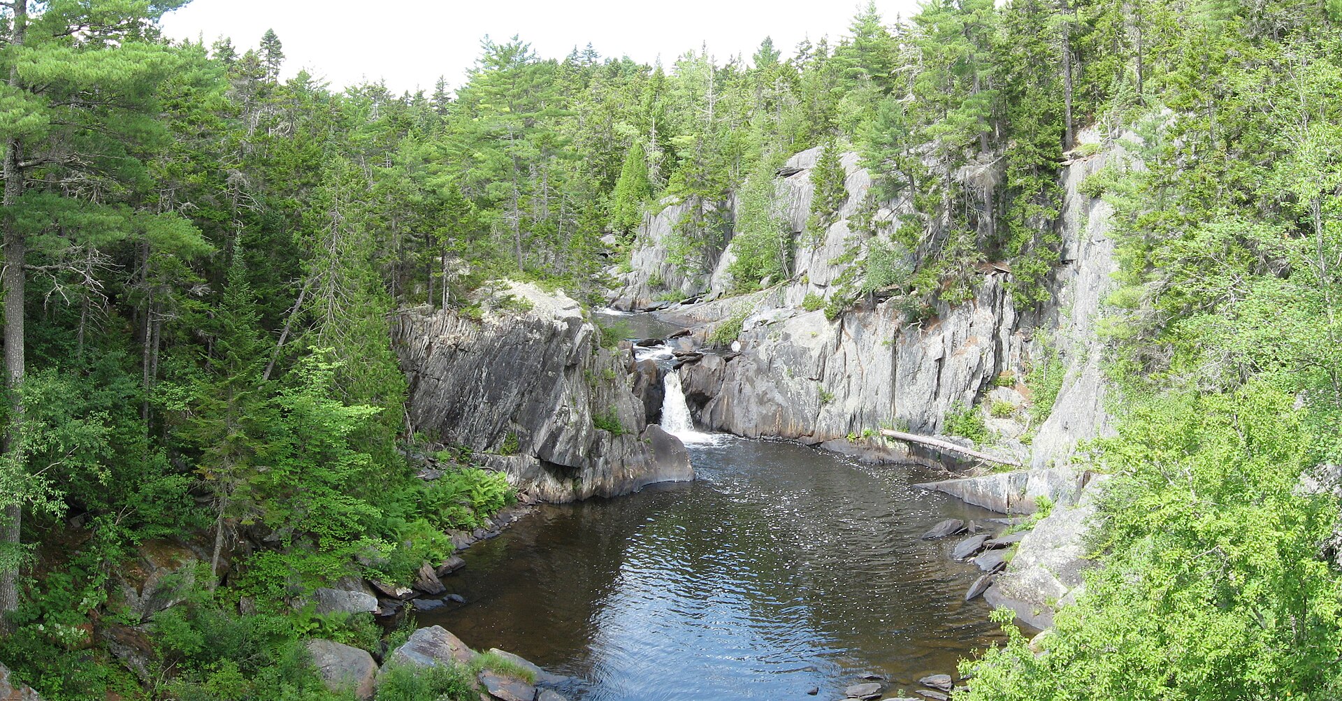 Plate CCCLVIII
Gulf Hagas
canyonKI Jo-Mary, Piscataquis County, Maine
A slate gorge in the northern Maine woods.
45.5° N · 69.3° WOpen plate →
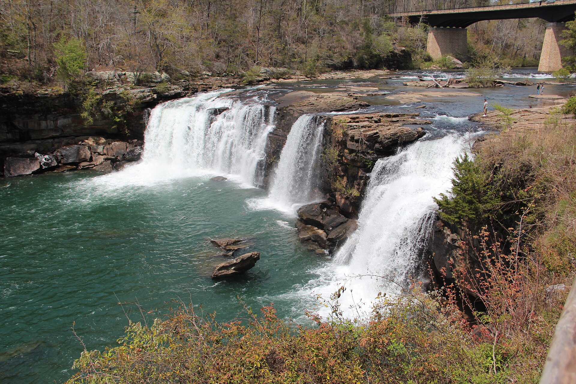 Plate CCCLIX
Little River Canyon
canyonLookout Mountain, DeKalb County, Alabama
A river that runs on top of a mountain.
34.4° N · 85.6° WOpen plate →
Asked at the trailhead
Questions already asked
- Are there wild places left in the eastern United States?
- Yes. This atlas keeps eastern gorges, coasts, and uplands as plates beside the famous western parks.
Change course