Landform
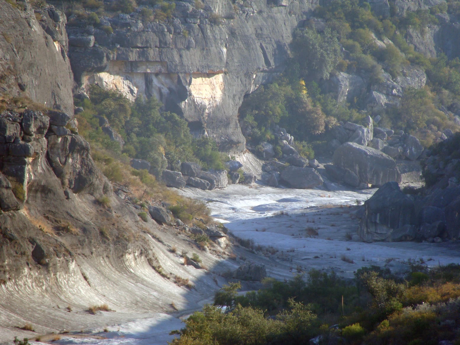
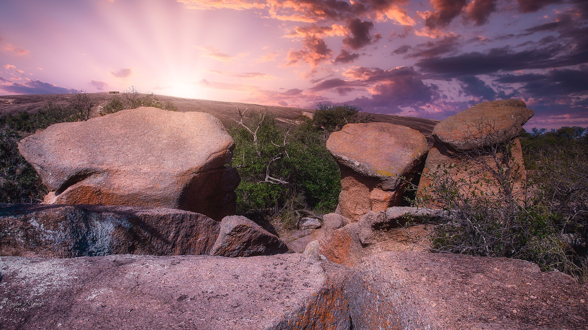
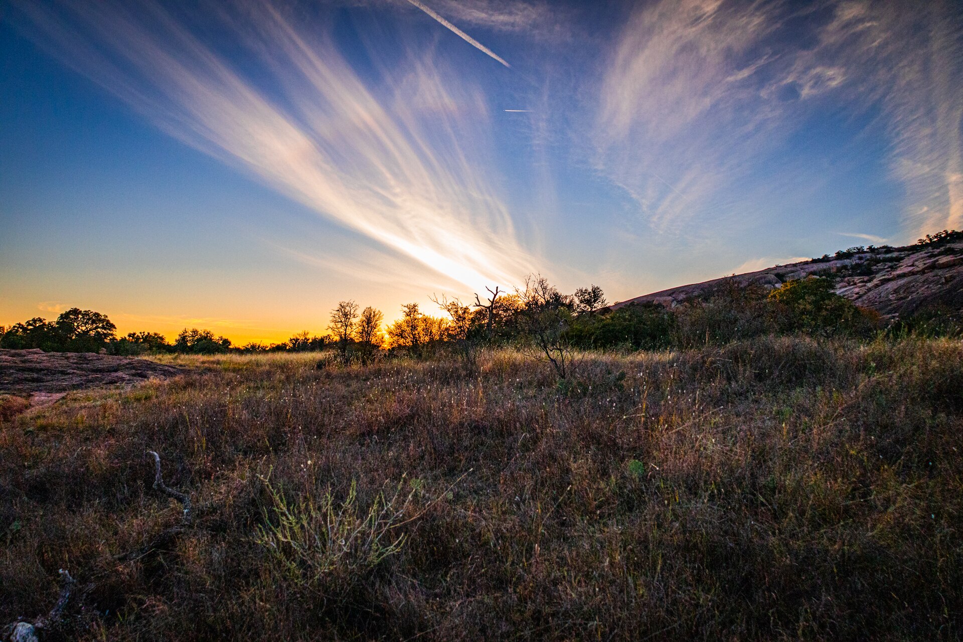
A pink granite batholith rising from the Edwards Plateau — a whale’s back of Town Mountain granite above oak and prickly pear.
Field note
The dome is one stone. Hikers look like ants on the pink slope. Fredericksburg is the nearest town. Cooler months and after rain are kinder; midsummer rock burns. This plate is Enchanted Rock State Natural Area, not a Hill Country ranch and not the Davis sky island.
Enchanted Rock is a pink granite batholith on the Edwards Plateau — one stone rising like a whale’s back above oak and prickly pear. Fredericksburg is the town. This plate is the state natural area, not a Hill Country ranch.