Landform
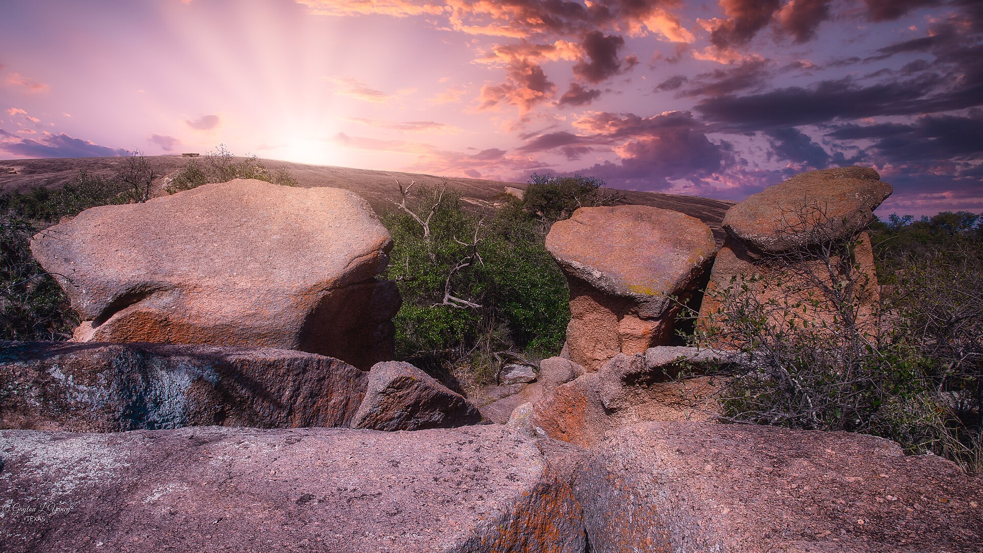
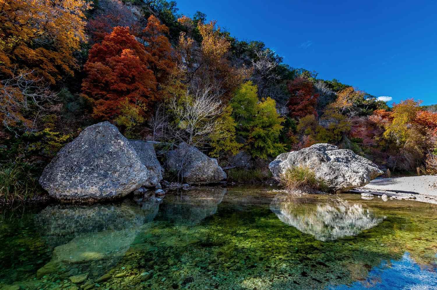
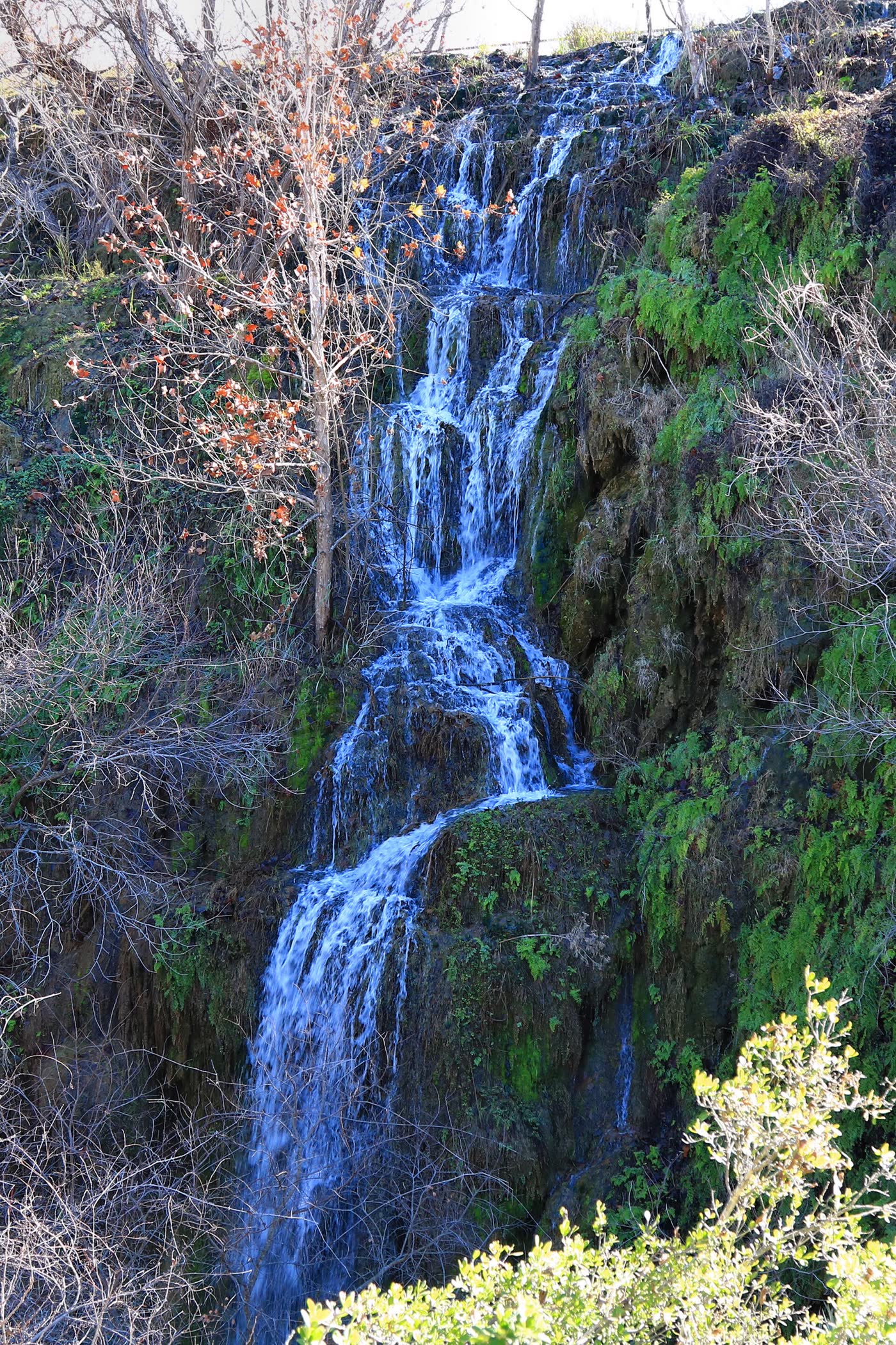
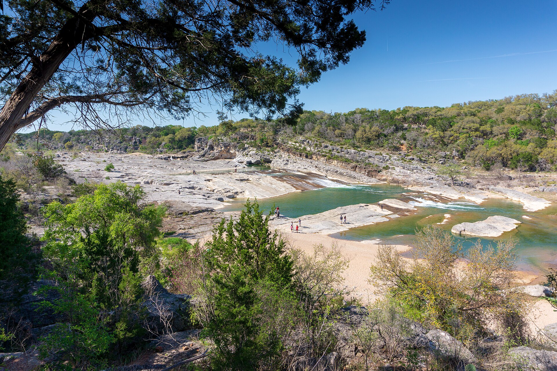
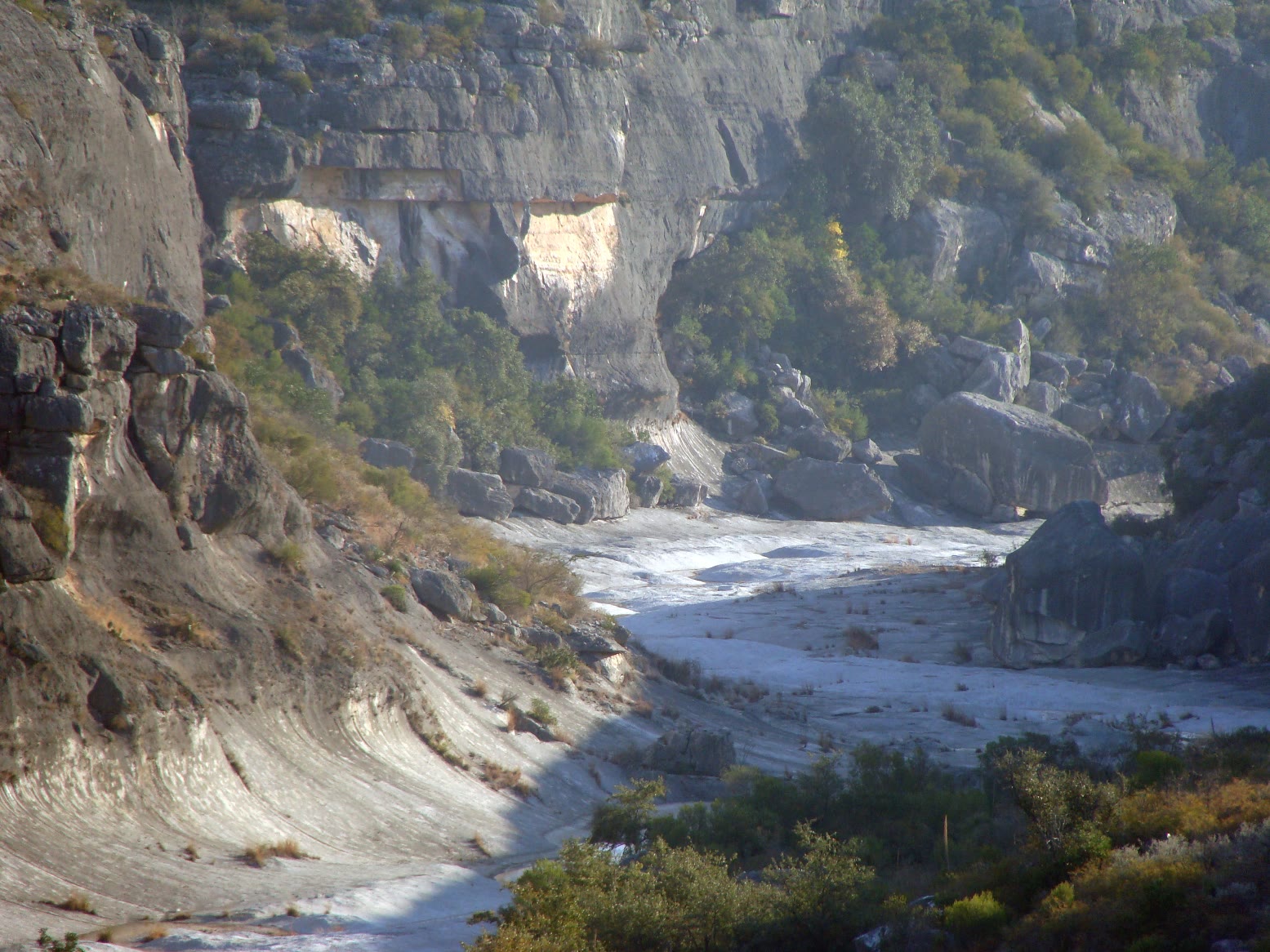
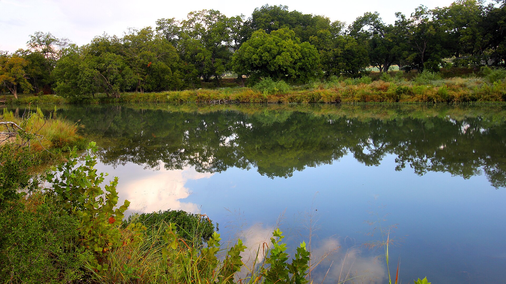
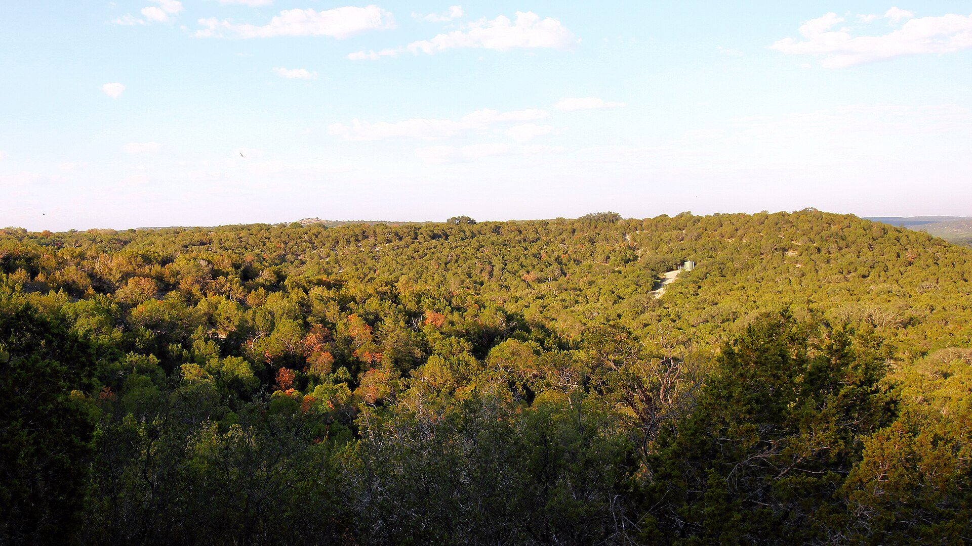
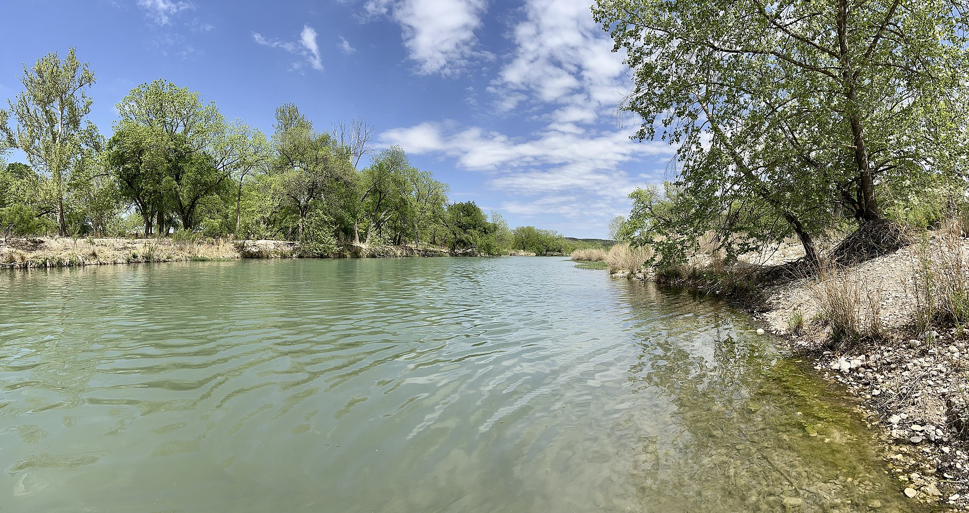
Edwards Plateau hills above a clear river — pecan shade, limestone shallows, and a short overlook that catches October color.
Field note
The South Llano is the park. Clear riffles hold pecan shade; the overlook looks over a live-oak valley that turns in a quiet October. Junction is the nearest town. This plate is South Llano River State Park, not Lost Maples one canyon south and not a Hill Country ranch.
South Llano is Edwards Plateau hill country — pecan shade, limestone shallows, and an overlook that catches a quiet October. Junction is the town. This plate is the river park, not Lost Maples and not a ranch.