The Field Atlas
0/363Tallgrass and dry prairie
Prairie destinations in the USA
Prairie is the American distance without a summit: tallgrass, Dakota mixed-grass, coastal grassland, and fire-kept dry prairie under a working sky.
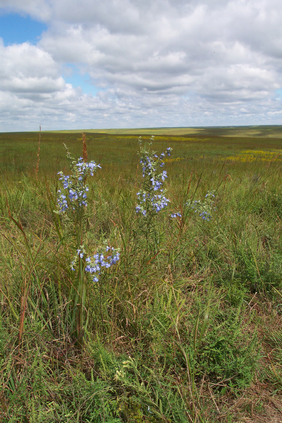
FrontispieceTallgrass Prairie National Preserve, Kansas
Start with Kansas tallgrass, then the quieter Dakota national grasslands, Iowa restorations, Illinois Midewin, Texas coastal grass, and the last Florida dry prairie. These plates are wild grassland — not wheat hills, not hayfields, and not the Everglades.
- Plates
- 13
- States
- 8
States in this chapter
- Colorado
- Florida
- Illinois
- Iowa
- Kansas
- North Dakota
- South Dakota
- Texas
Prairie chapter
The plates
Plate CLIIITallgrass Prairie National Preserve
prairieFlint Hills, Chase County, Kansas
A sea of grass the plow never reached.
38.4° N · 96.6° WOpen plate →
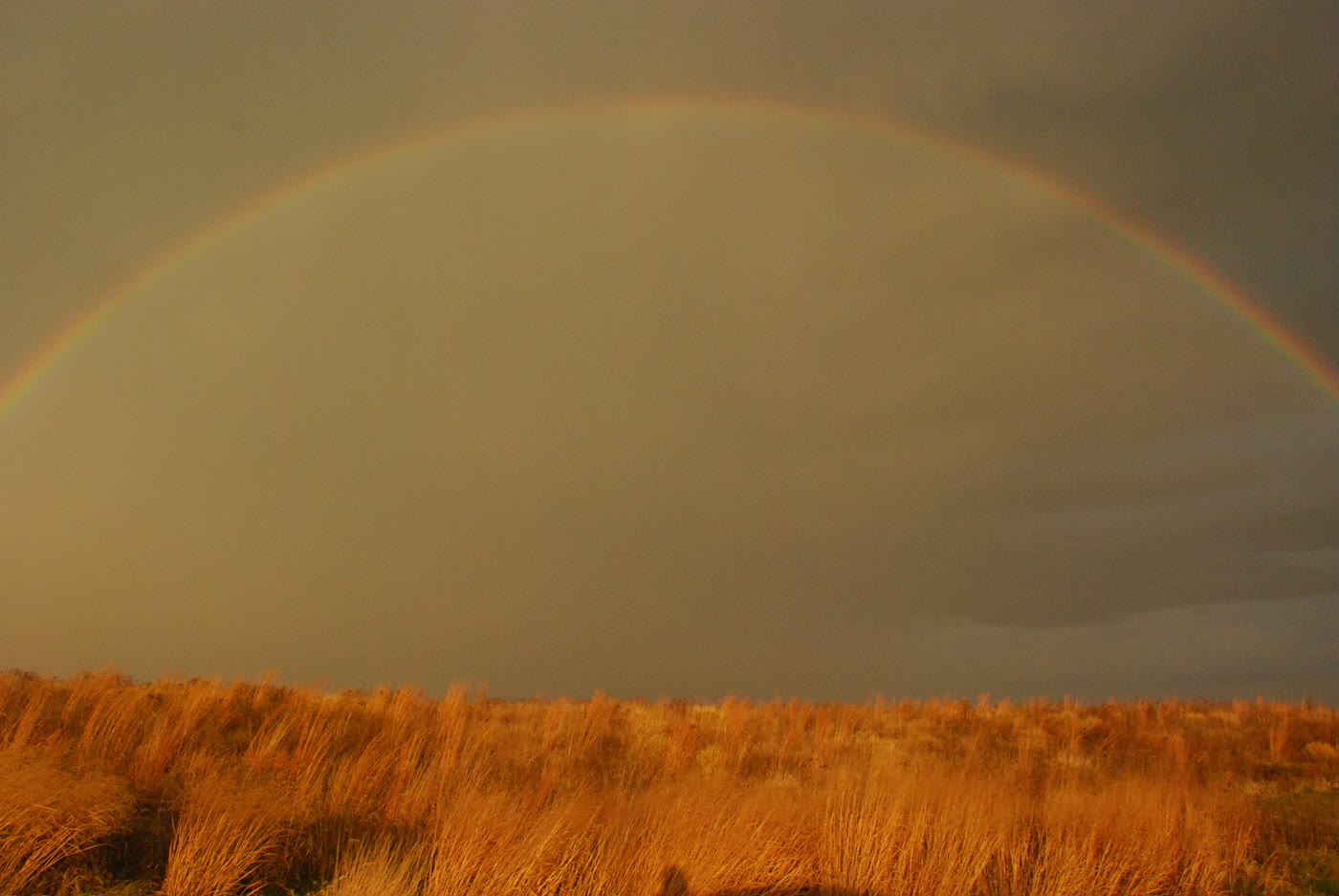 Plate CLIV
Neal Smith National Wildlife Refuge
prairiePrairie City, Jasper County, Iowa
Iowa’s reconstructed sea of grass.
41.6° N · 93.3° WOpen plate →
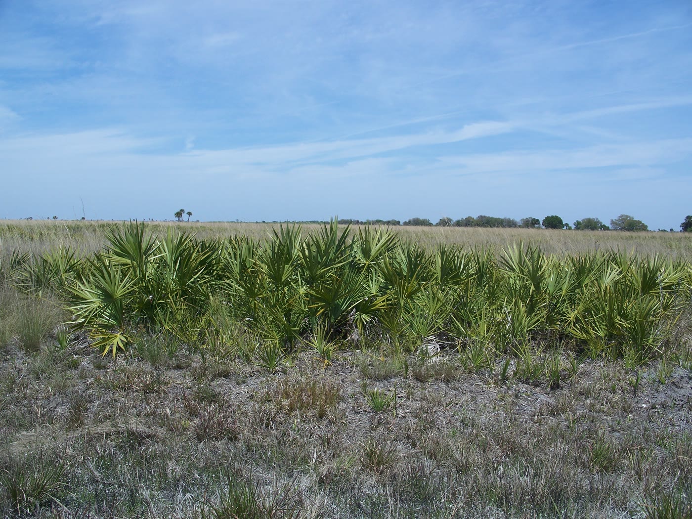 Plate CLV
Kissimmee Prairie Preserve
prairieOkeechobee County, Florida
The largest remaining Florida dry prairie.
27.6° N · 81.0° WOpen plate →
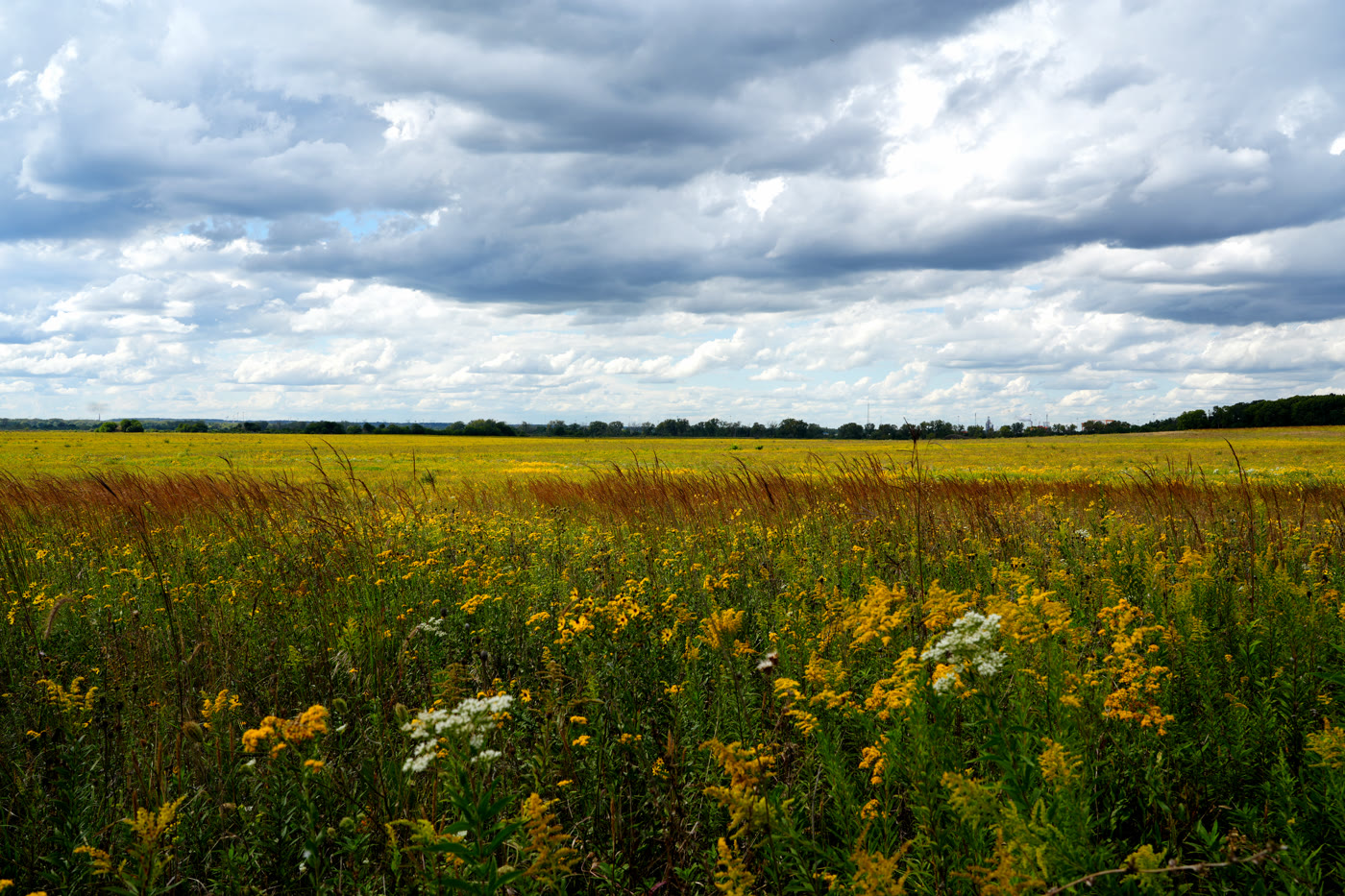 Plate CLVI
Midewin National Tallgrass Prairie
prairieWill County, south of Joliet, Illinois
Illinois tallgrass grown back on an arsenal prairie.
41.4° N · 88.1° WOpen plate →
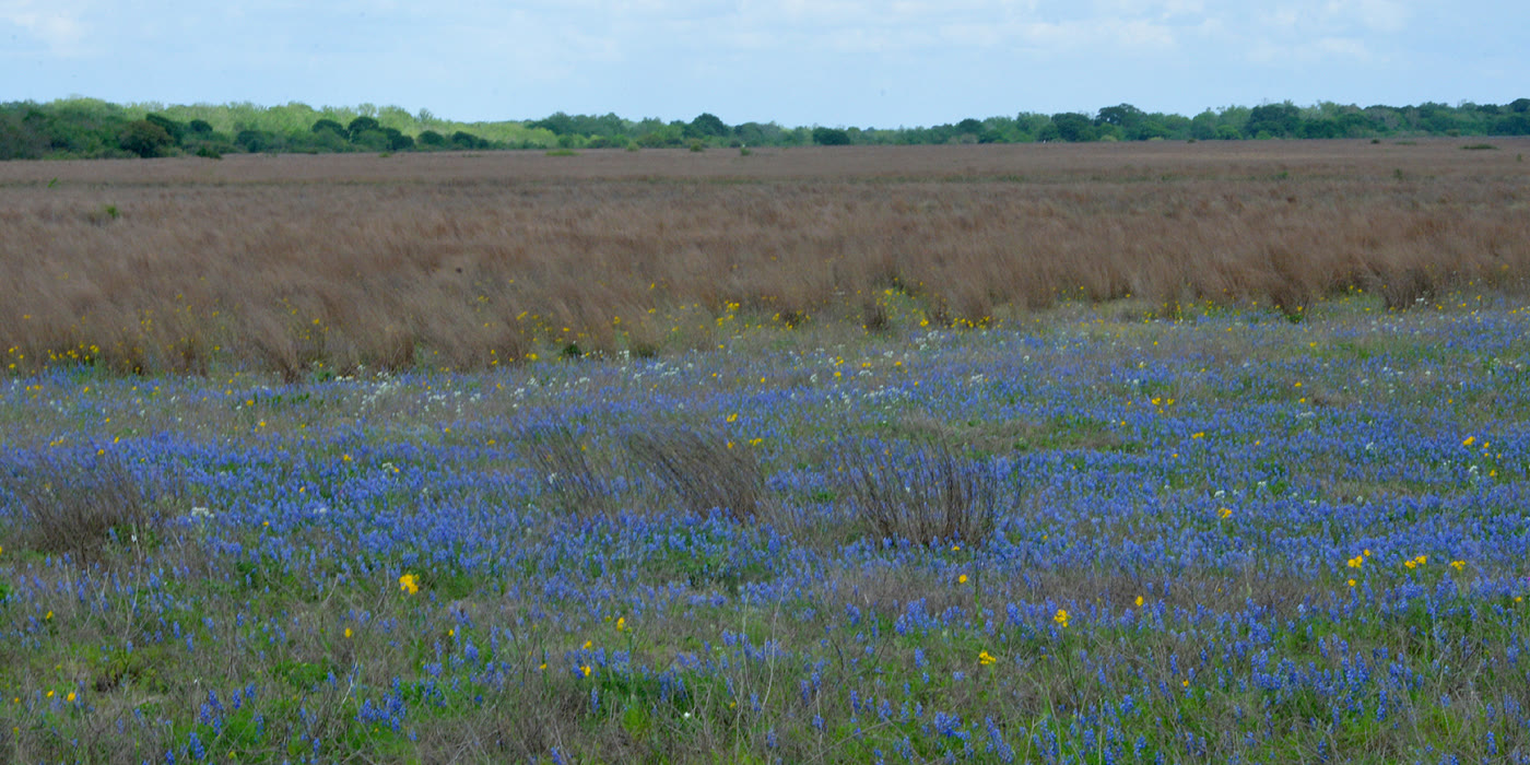 Plate CLVII
Attwater Prairie Chicken National Wildlife Refuge
prairieColorado County, near Eagle Lake, Texas
Coastal grassland kept for a bird that almost vanished.
29.7° N · 96.3° WOpen plate →
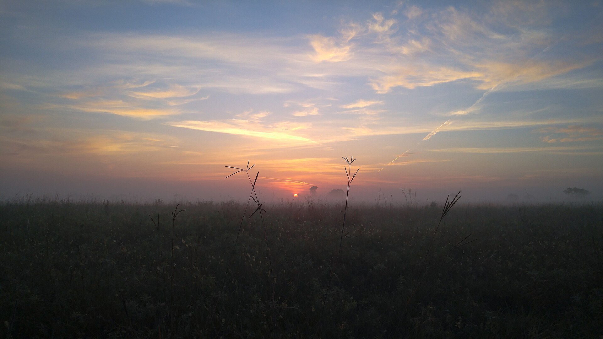 Plate CCLIII
Sheyenne National Grassland
prairiesoutheastern North Dakota, near Lisbon, North Dakota
Oak and tallgrass the plow left standing.
46.4° N · 97.3° WOpen plate →
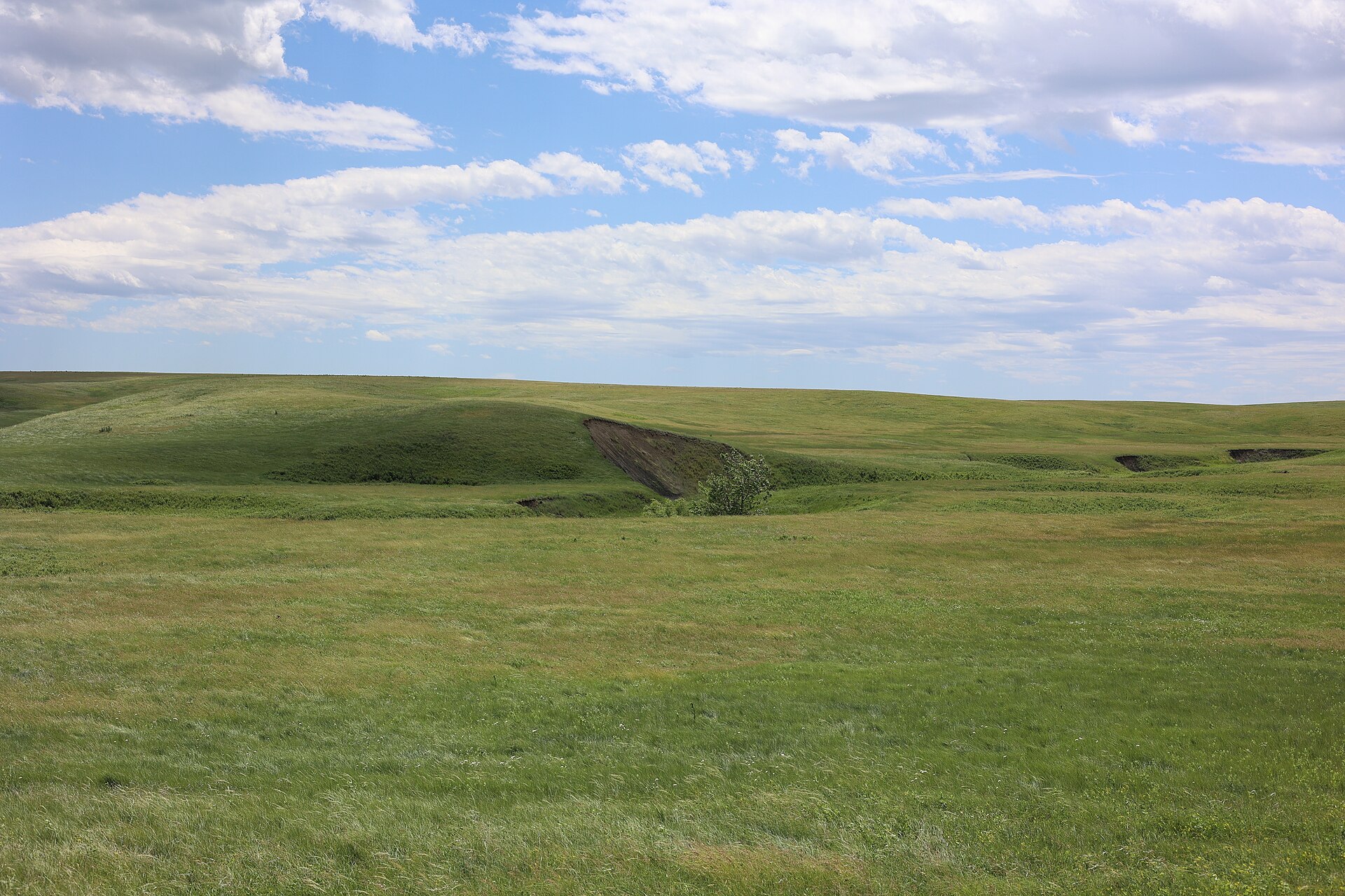 Plate CCLIV
Fort Pierre National Grassland
prairieMissouri River, near Fort Pierre, South Dakota
A mixed-grass sea the river towns forgot.
44.1° N · 100.3° WOpen plate →
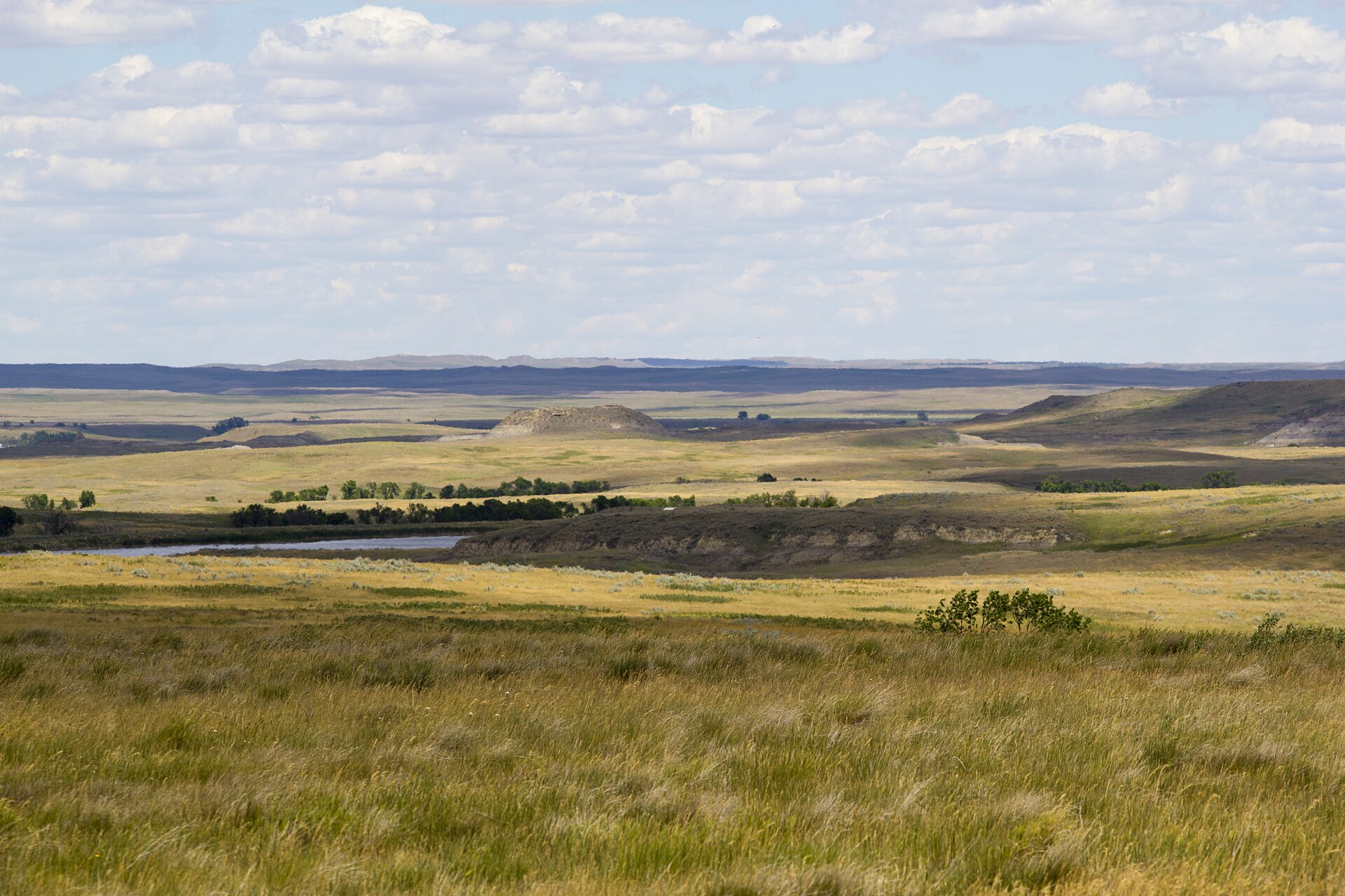 Plate CCLV
Grand River National Grassland
prairienorthwestern South Dakota, near Lemmon, South Dakota
Prairie and low buttes the buses never learned.
45.7° N · 102.4° WOpen plate →
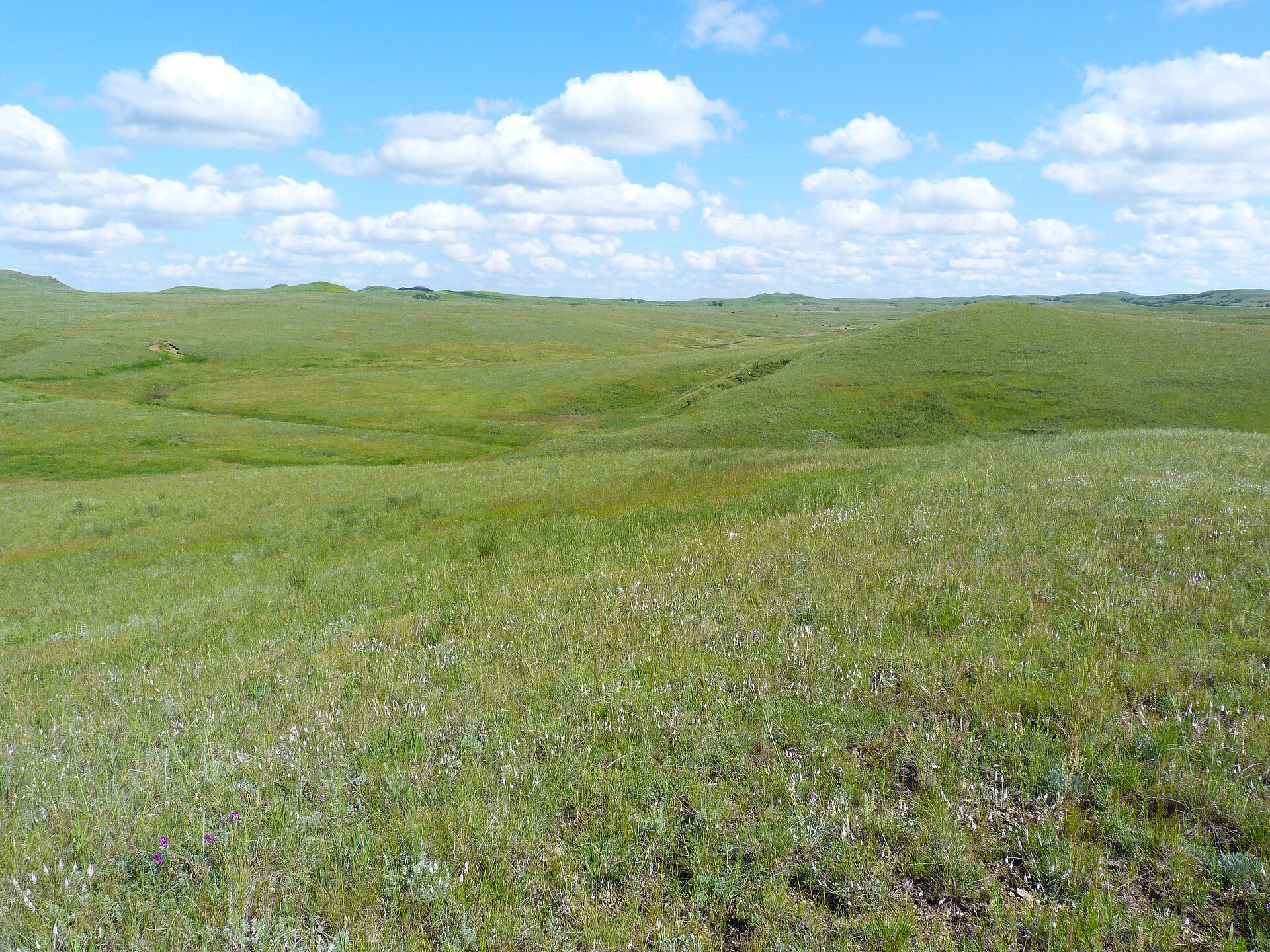 Plate CCLVI
Cedar River National Grassland
prairiesouthwestern North Dakota, near Selfridge, North Dakota
The quieter sister of the Grand River grass.
46.0° N · 101.8° WOpen plate →
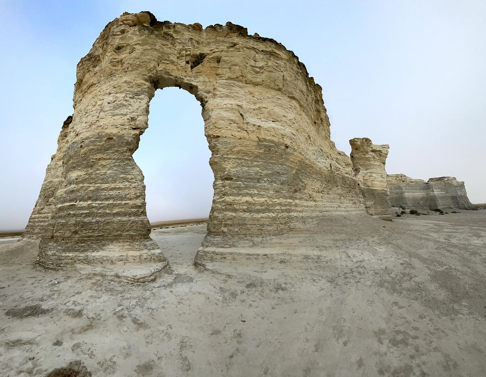 Plate CCLXIII
Little Jerusalem Badlands
prairieSmoky Hill chalk, Logan County, Kansas
A chalk city the prairie hid.
38.8° N · 100.9° WOpen plate →
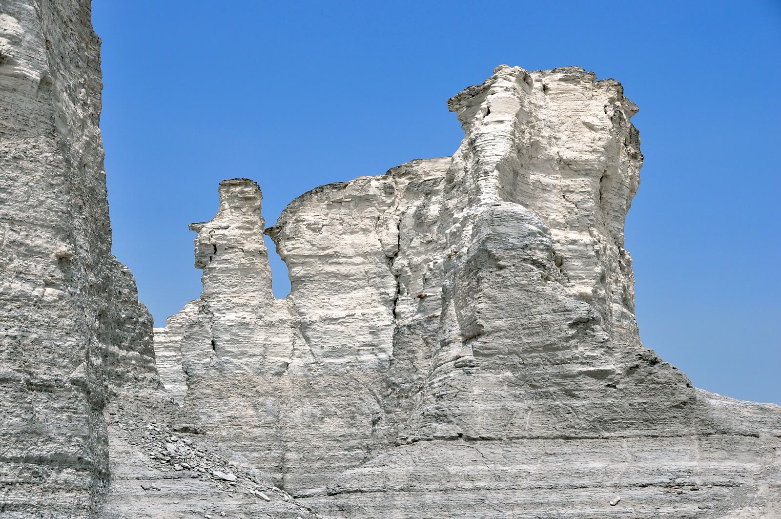 Plate CCLXIV
Monument Rocks
prairieChalk Pyramids, Gove County, Kansas
Chalk pyramids the wheat country forgot.
38.8° N · 100.8° WOpen plate →
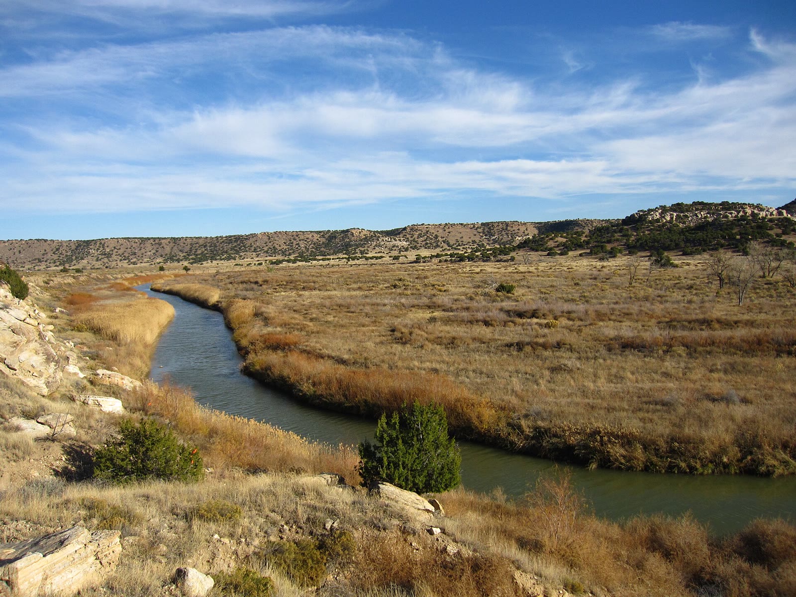 Plate CCLXV
Comanche National Grassland
prairiePicketwire Canyon, Las Animas County, Colorado
Prairie that opens a canyon the plains hid.
37.7° N · 104.0° WOpen plate →
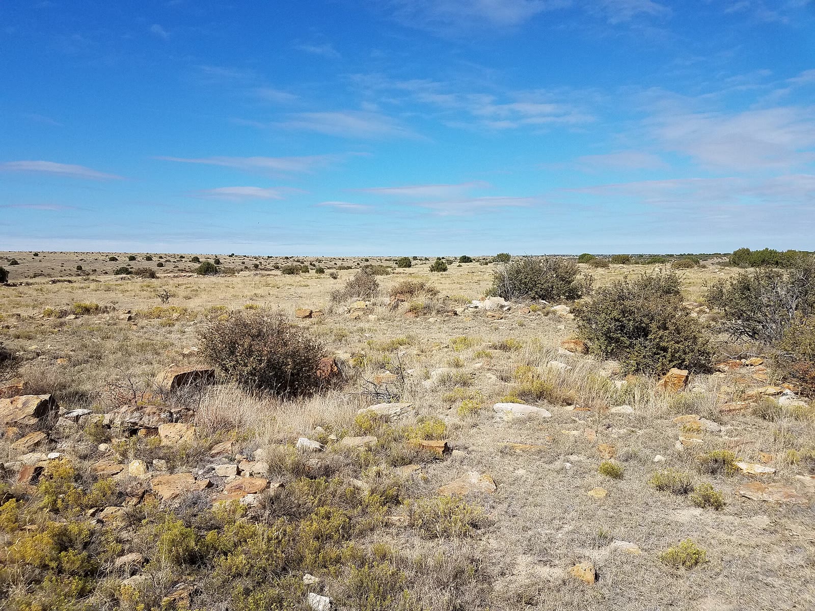 Plate CCLXIX
Cimarron National Grassland
prairieHigh Plains, Morton County, Kansas
Kansas grass that still remembers a trail.
37.1° N · 101.9° WOpen plate →
Asked at the trailhead
Questions already asked
- Where can I see tallgrass prairie in the USA?
- Start with Tallgrass Prairie National Preserve in Kansas. This atlas also maps Sheyenne National Grassland in North Dakota, Neal Smith in Iowa, Midewin in Illinois, Attwater in Texas, and Kissimmee Prairie in Florida — dry prairie, not wetland.
- Are there quieter prairie destinations in the Dakotas?
- Yes. Sheyenne, Fort Pierre, Grand River, Cedar River, Little Missouri, and Buffalo Gap sit in the Dakotas; Comanche, Cimarron, and Kiowa add southern High Plains grass. These are USFS grassland plates, not Badlands National Park and not Theodore Roosevelt National Park.
- Is prairie the same as the Palouse or the Badlands?
- No. Palouse is loess wheat hills; Badlands are eroded clay buttes. Prairie plates here read as a sea of grass and forbs even with the caption hidden.
Change course