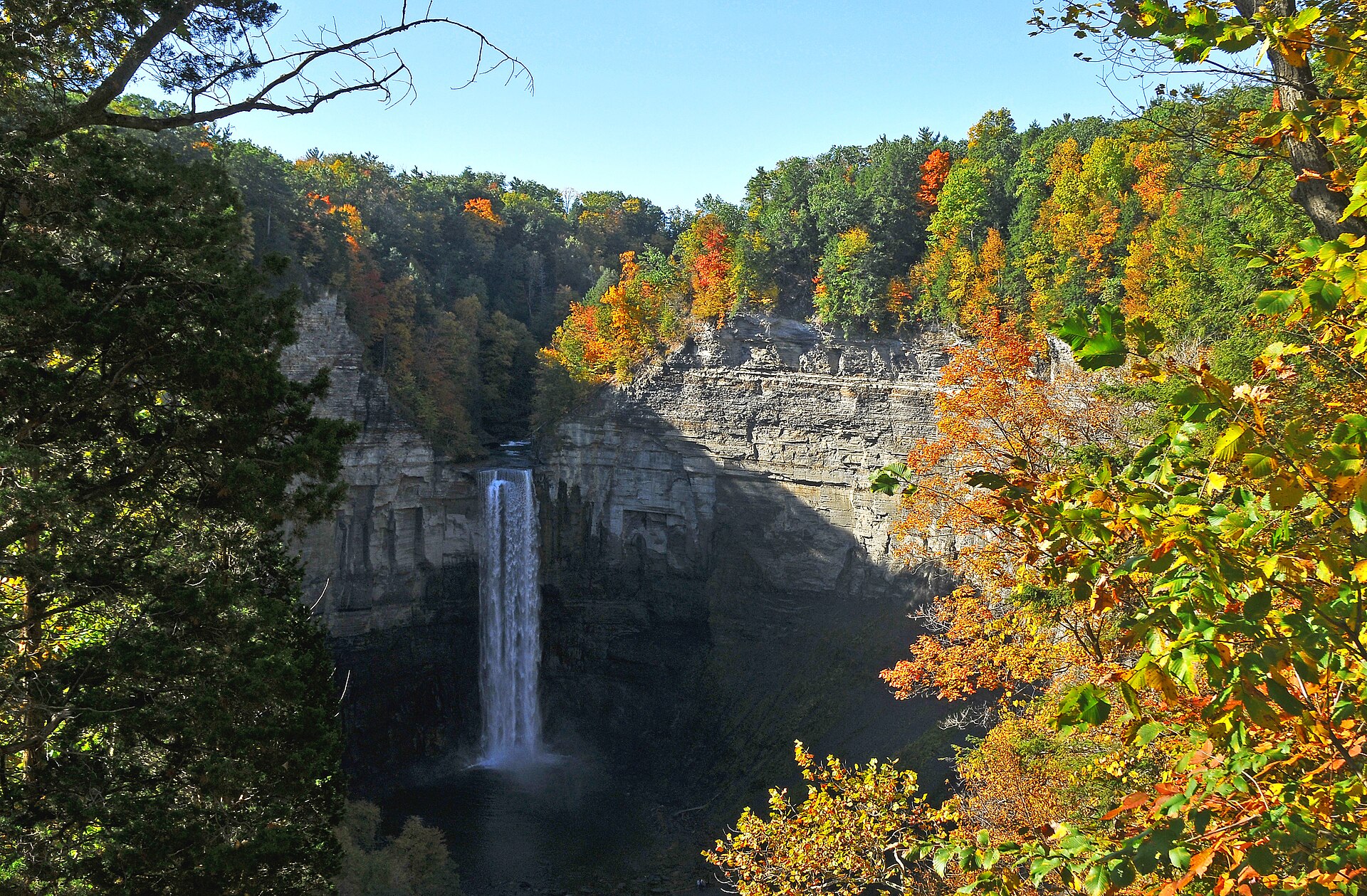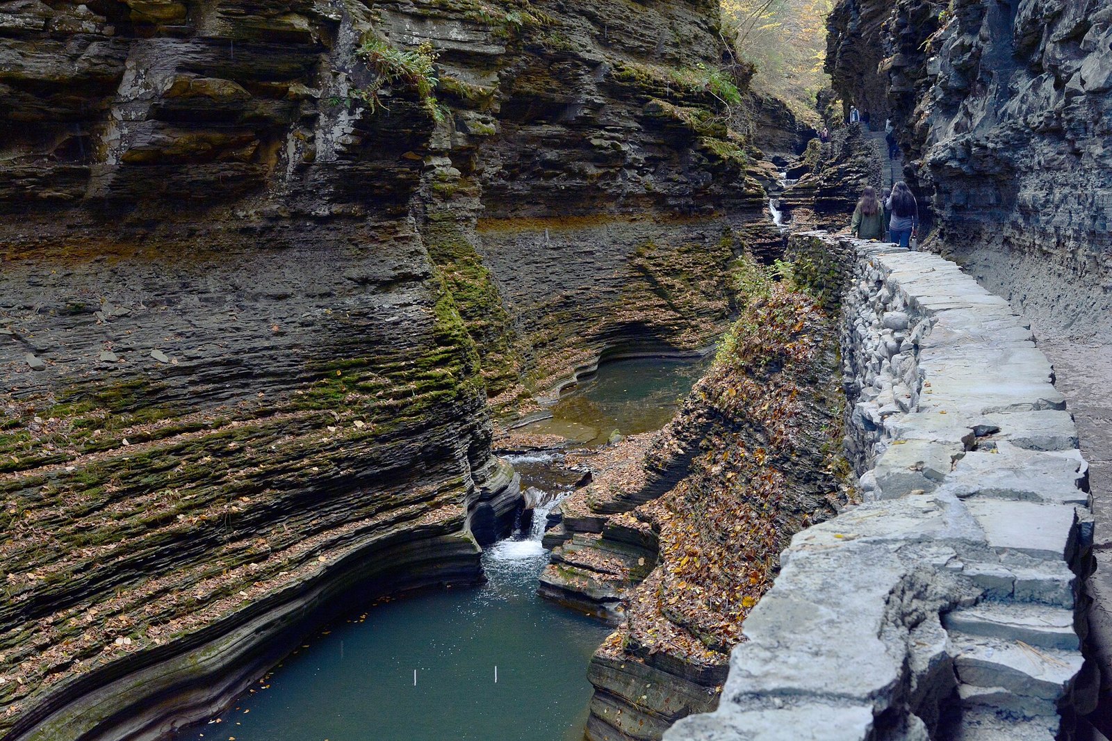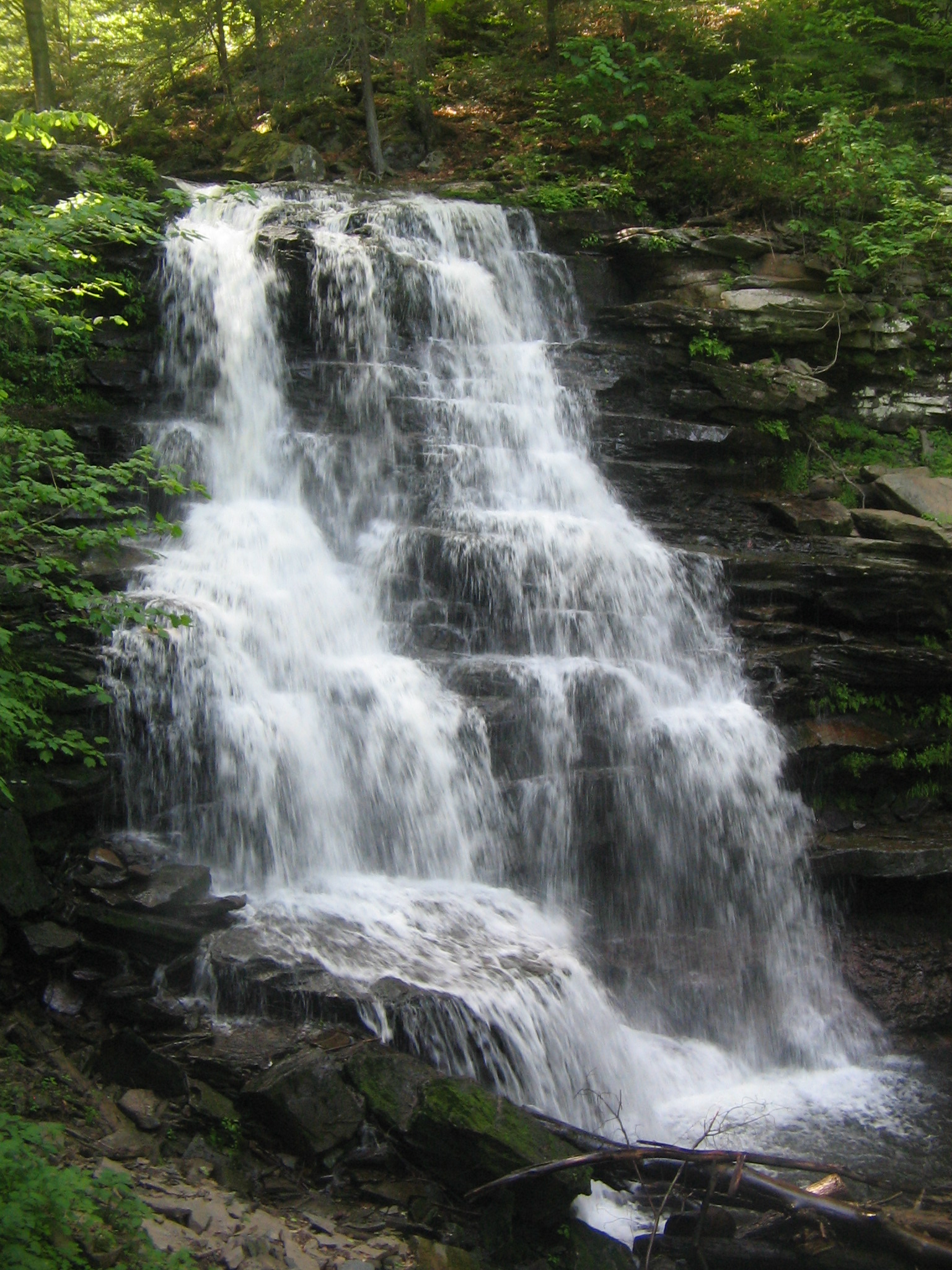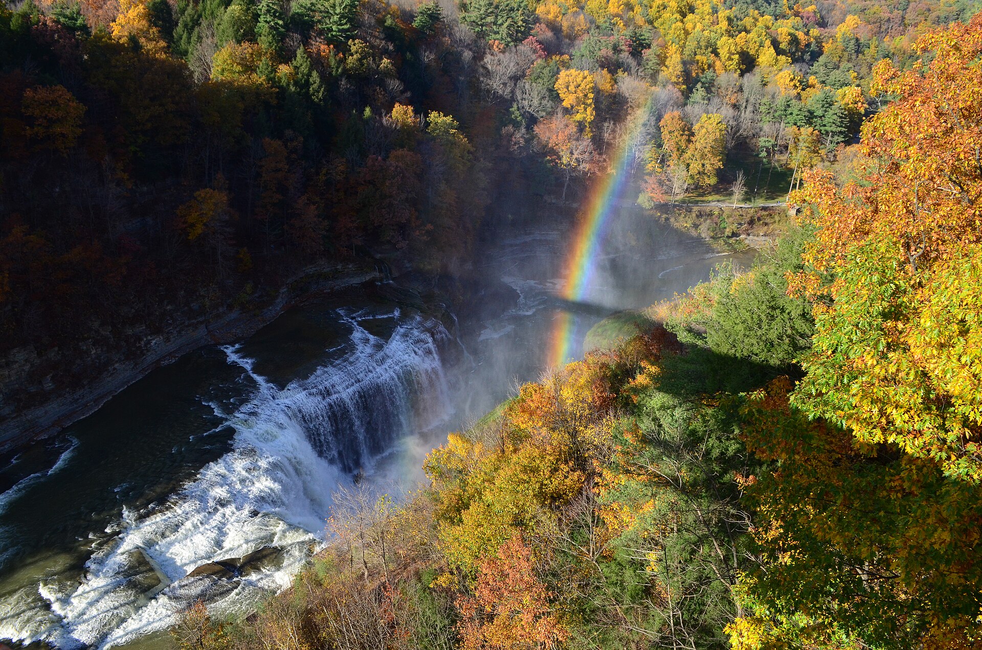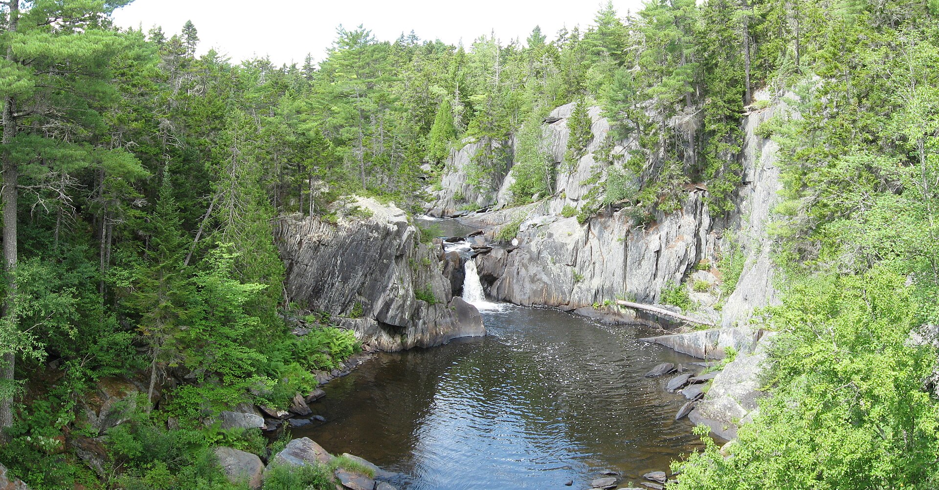
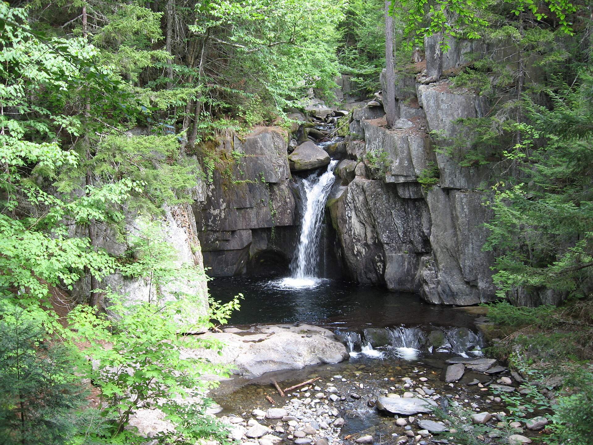
Fig. 1Slate walls of Gulf Hagas on the West Branch Pleasant River
Landform
Three miles of falls and 130-foot walls on the Pleasant River
Field note
Gulf Hagas is a National Natural Landmark in the KI Jo-Mary woods of Piscataquis County. The West Branch Pleasant River drops 370 feet through three miles of slate, with walls to 130 feet. A rim trail looks into the gorge. The gate takes a fee in season. Acadia and the White Mountains keep their own plates. This plate is the Gulf, not a park road.
Gulf Hagas is the slate gorge on the West Branch Pleasant River, in the KI Jo-Mary woods. The rim trail looks down on the falls. This plate is the Gulf, not Acadia and not the White Mountains.