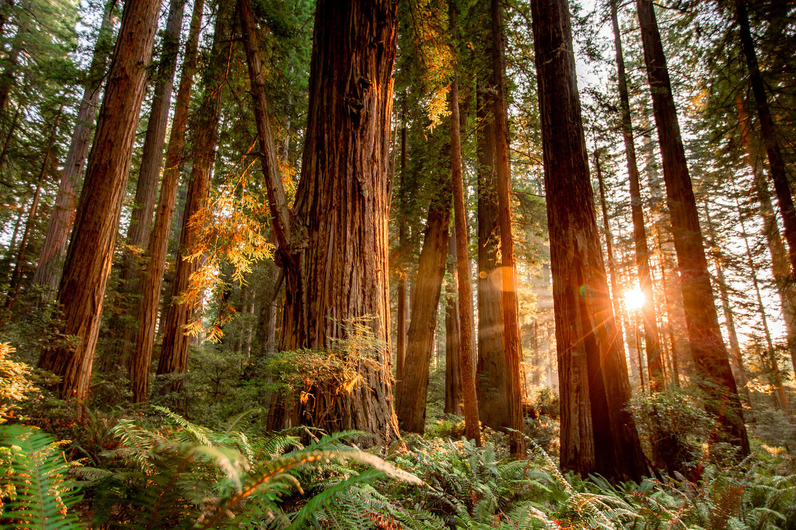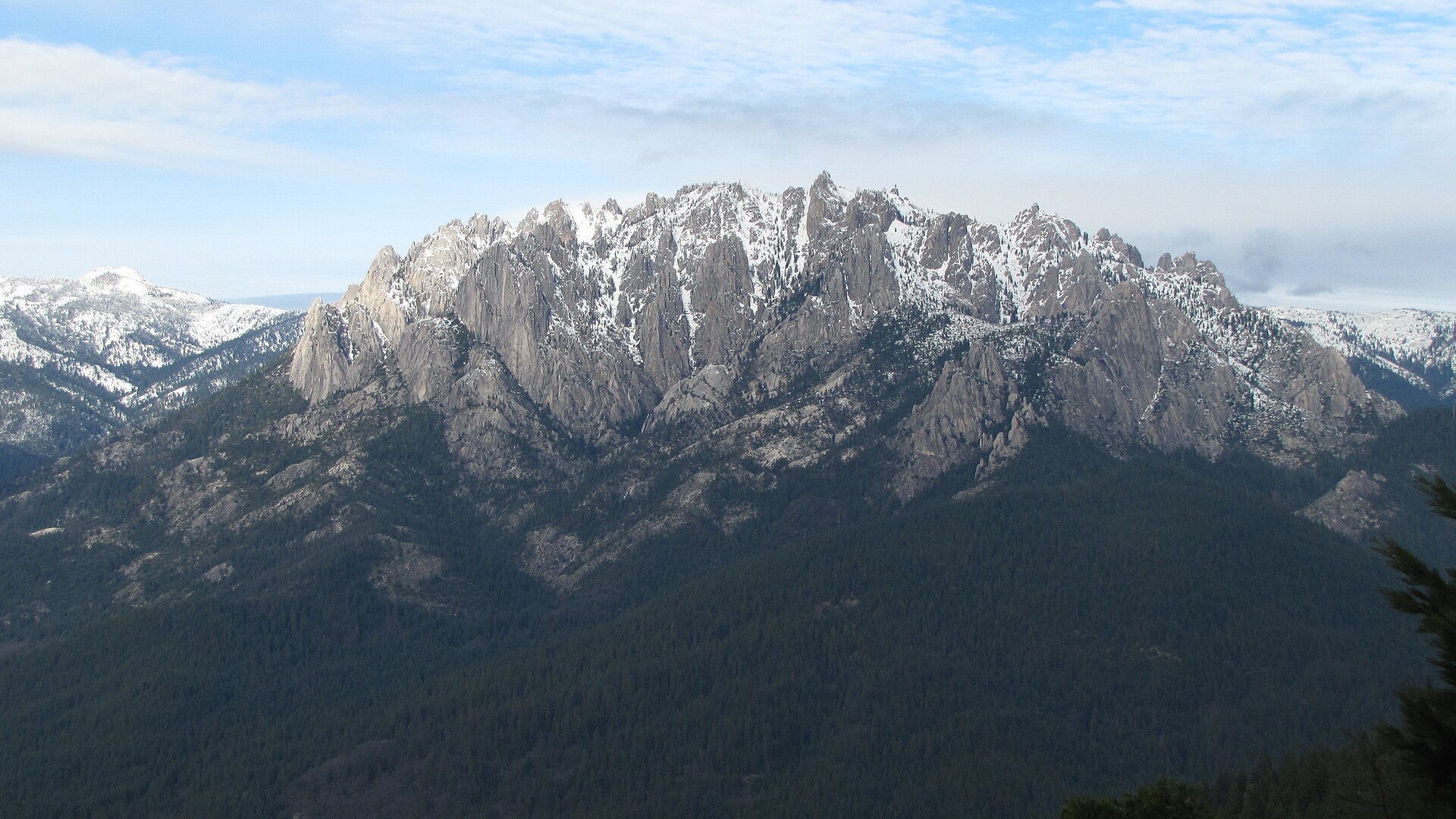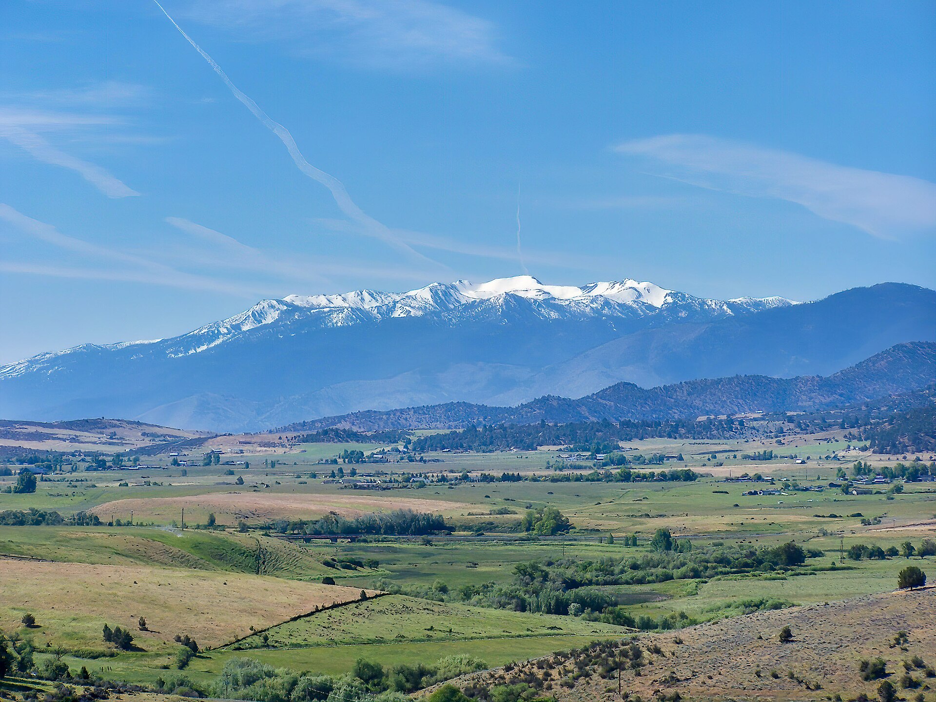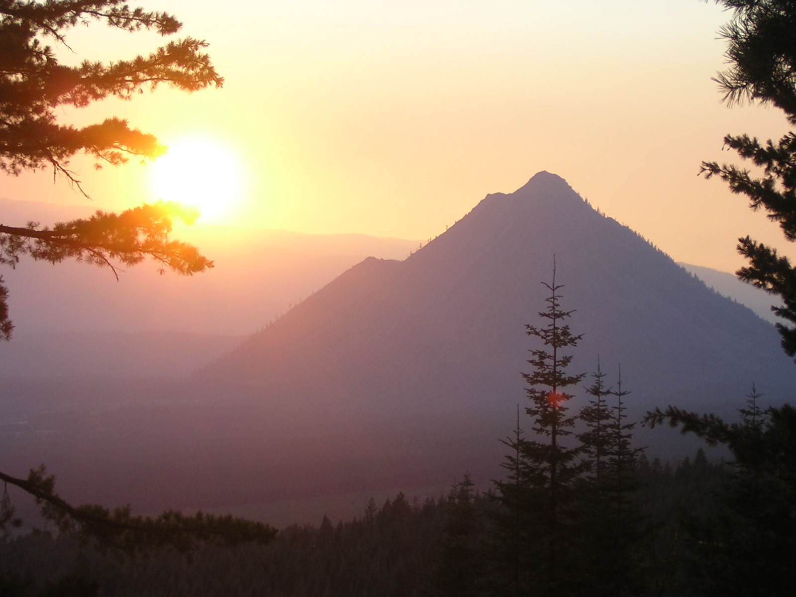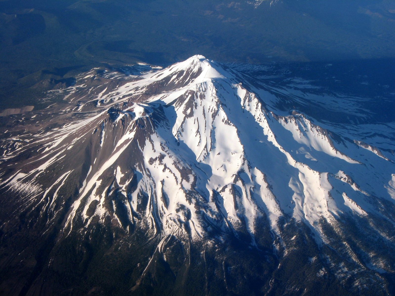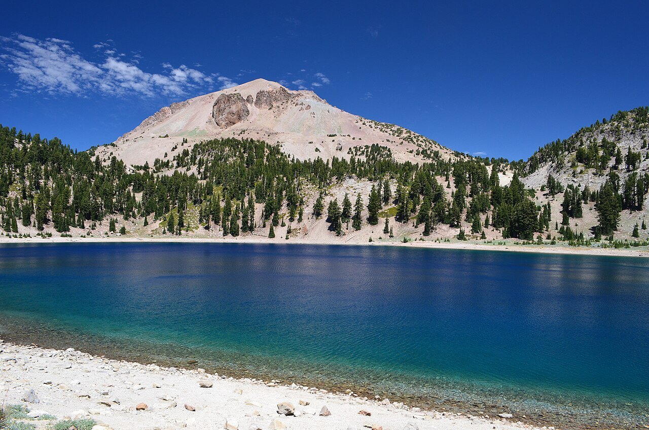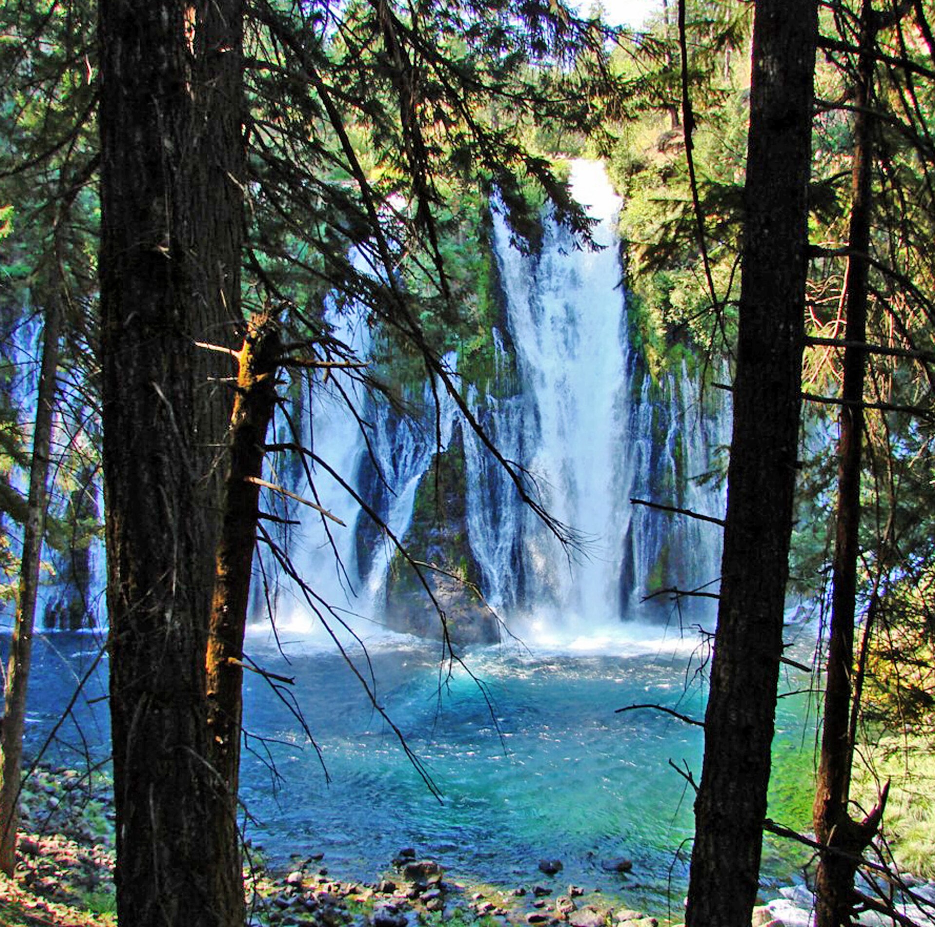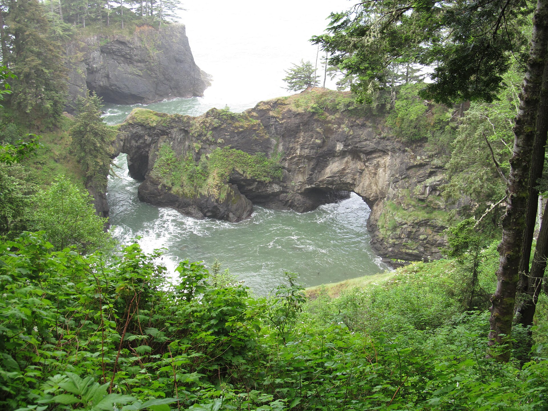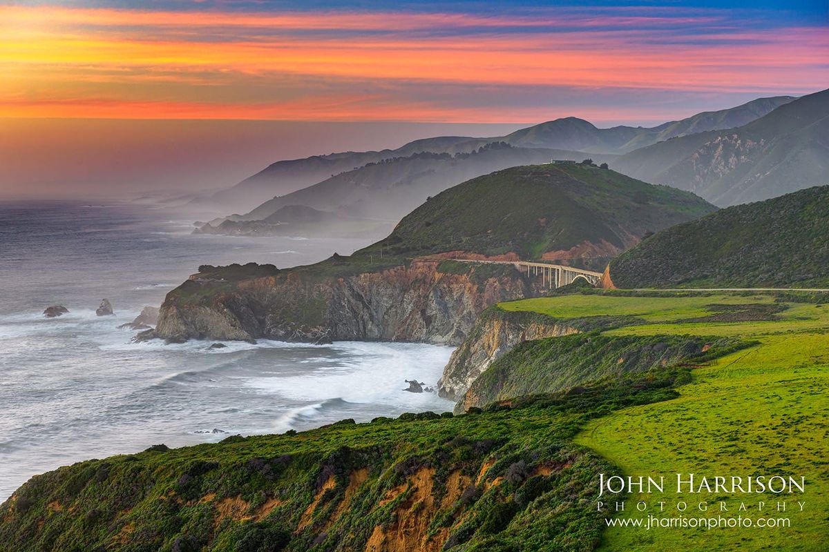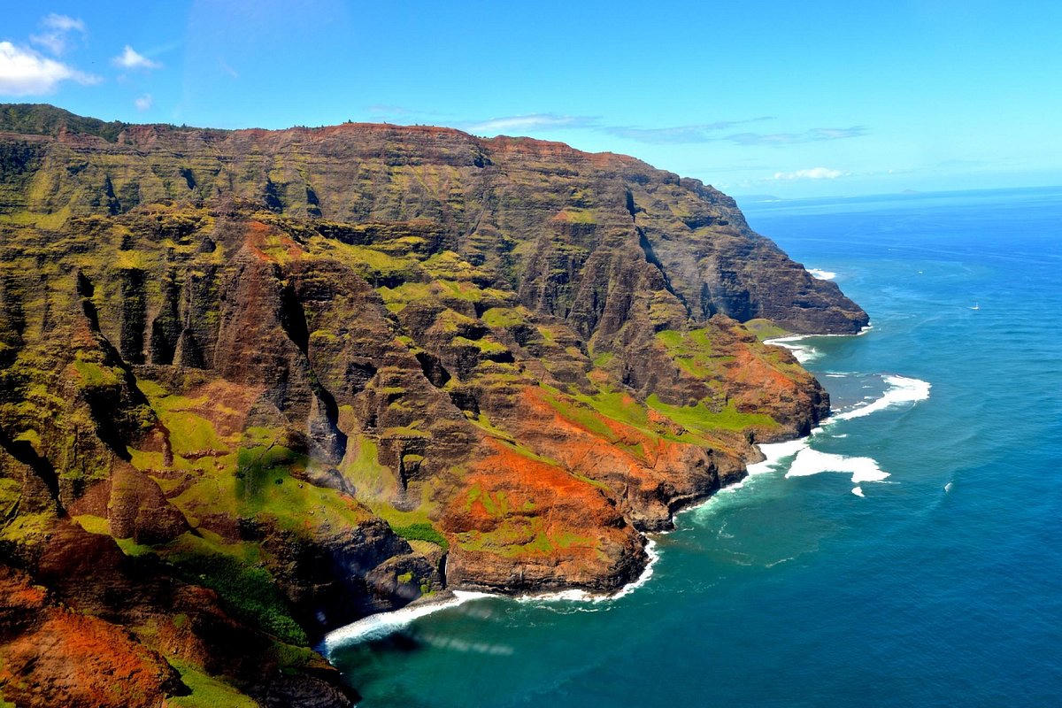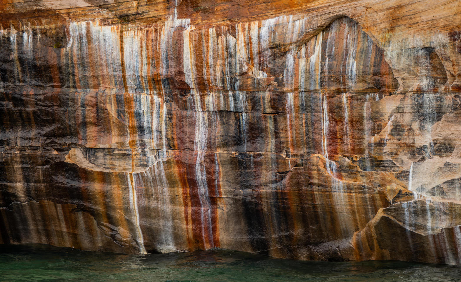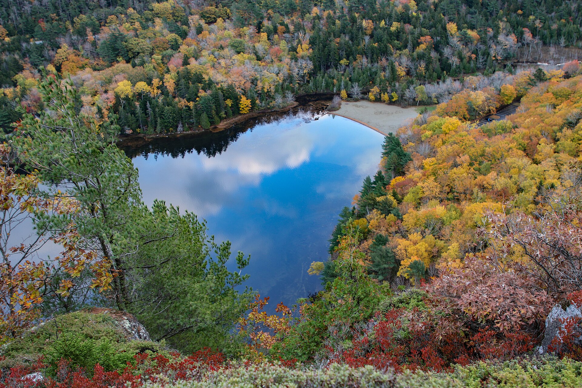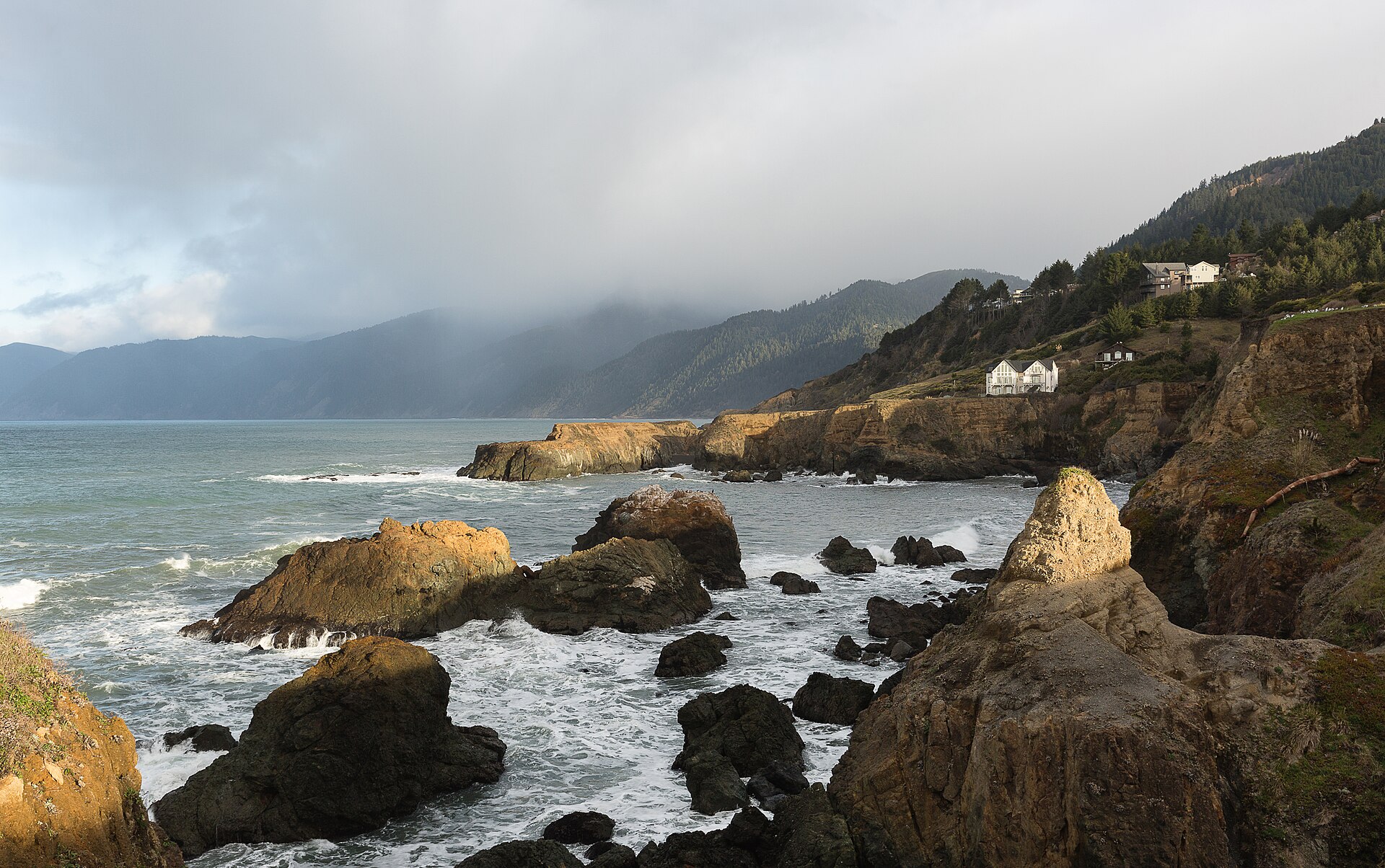
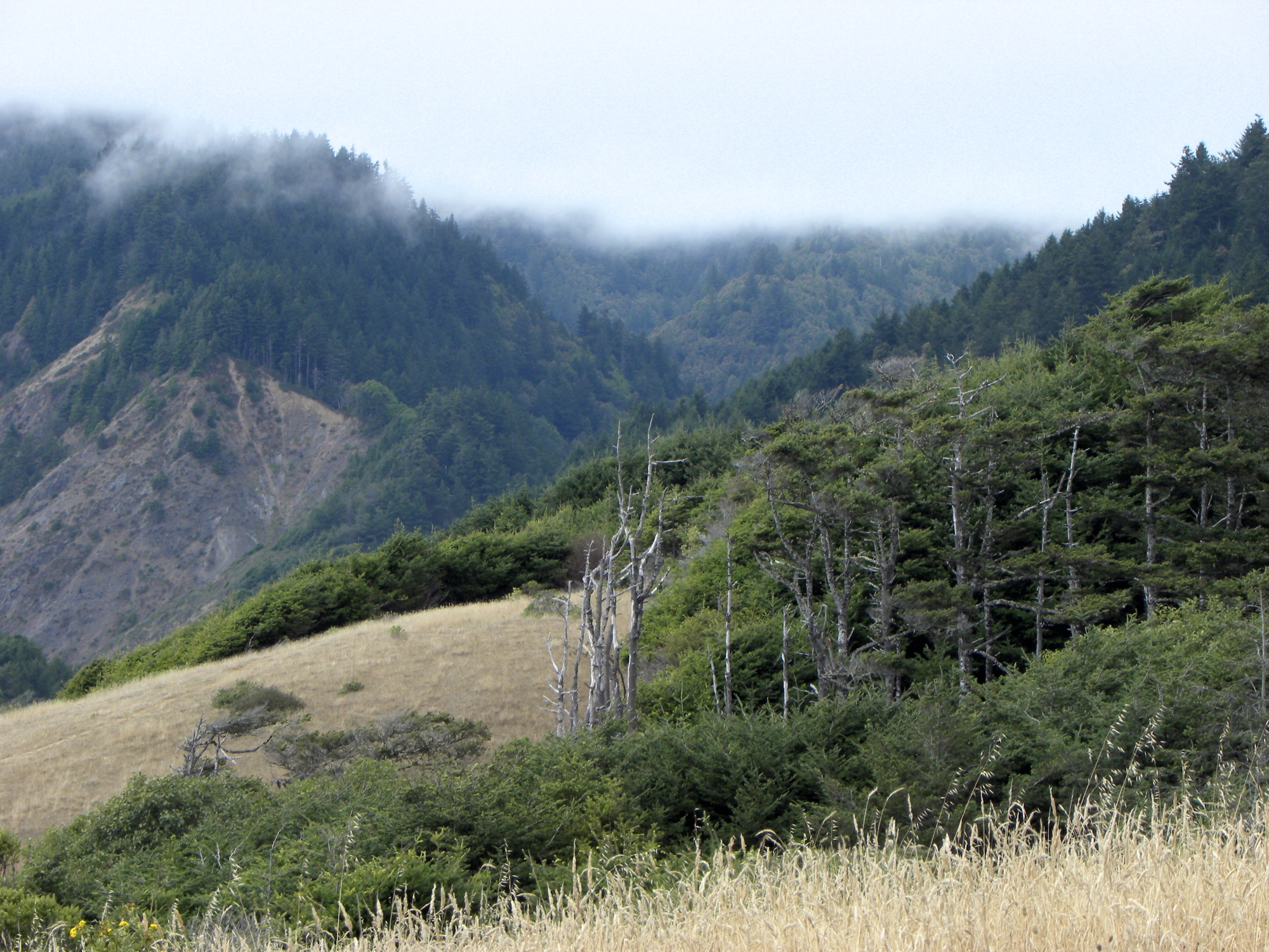
Fig. 1The Lost Coast from the King Range National Conservation Area
Landform
Where the Coast Range meets the Pacific without a highway — Black Sands Beach and the Lost Coast Trail
Field note
The King Range National Conservation Area holds the Lost Coast in Humboldt and Mendocino counties, where mountains drop straight into the Pacific. Shelter Cove and Black Sands Beach are the usual gates. Sinkyone Wilderness State Park continues the wild shore south. Point Reyes and Big Sur keep their own plates. This plate is the King Range, not Highway 1 overlooks.
The King Range is the Lost Coast National Conservation Area where the Coast Range meets the Pacific without a highway. Shelter Cove and Black Sands Beach are the gates. This plate is that shore, not Point Reyes and not Big Sur.