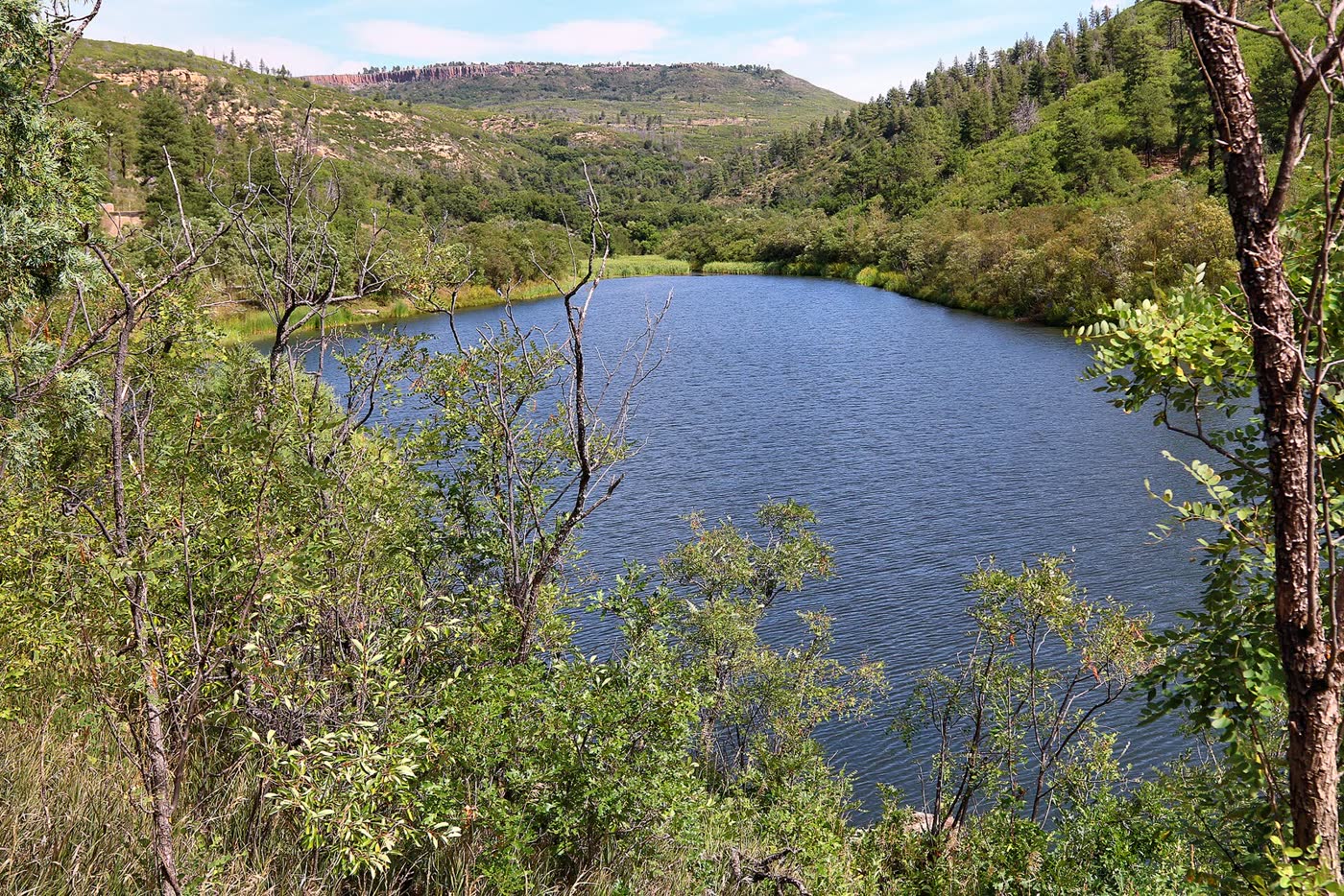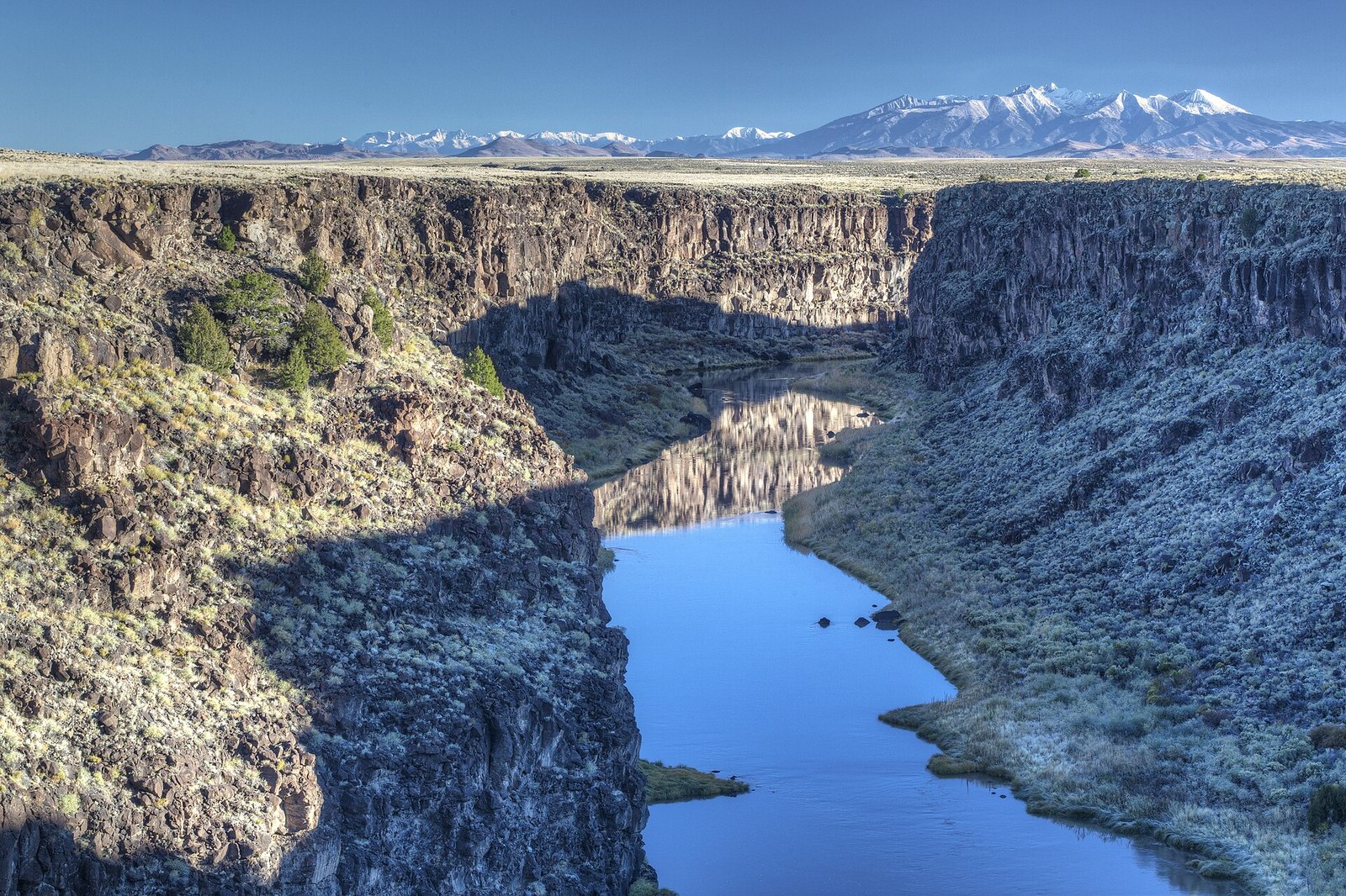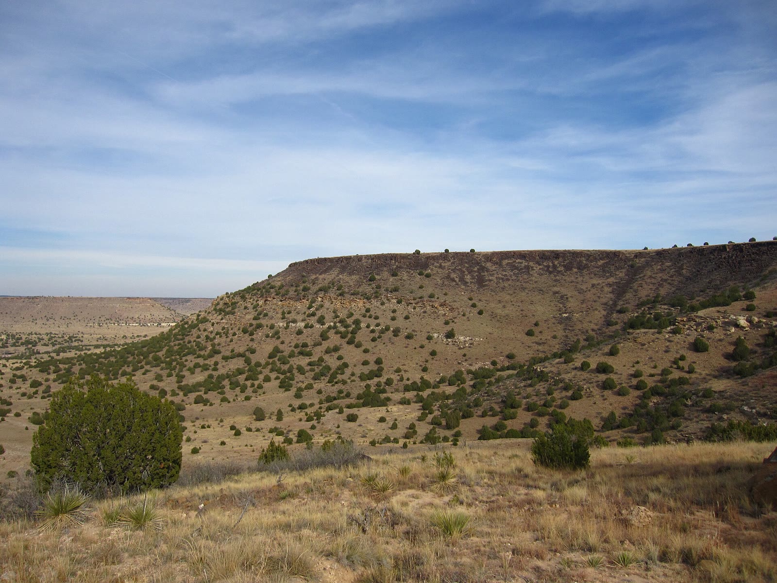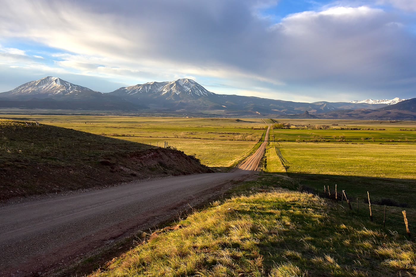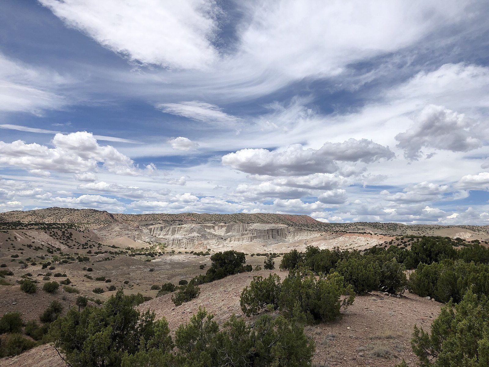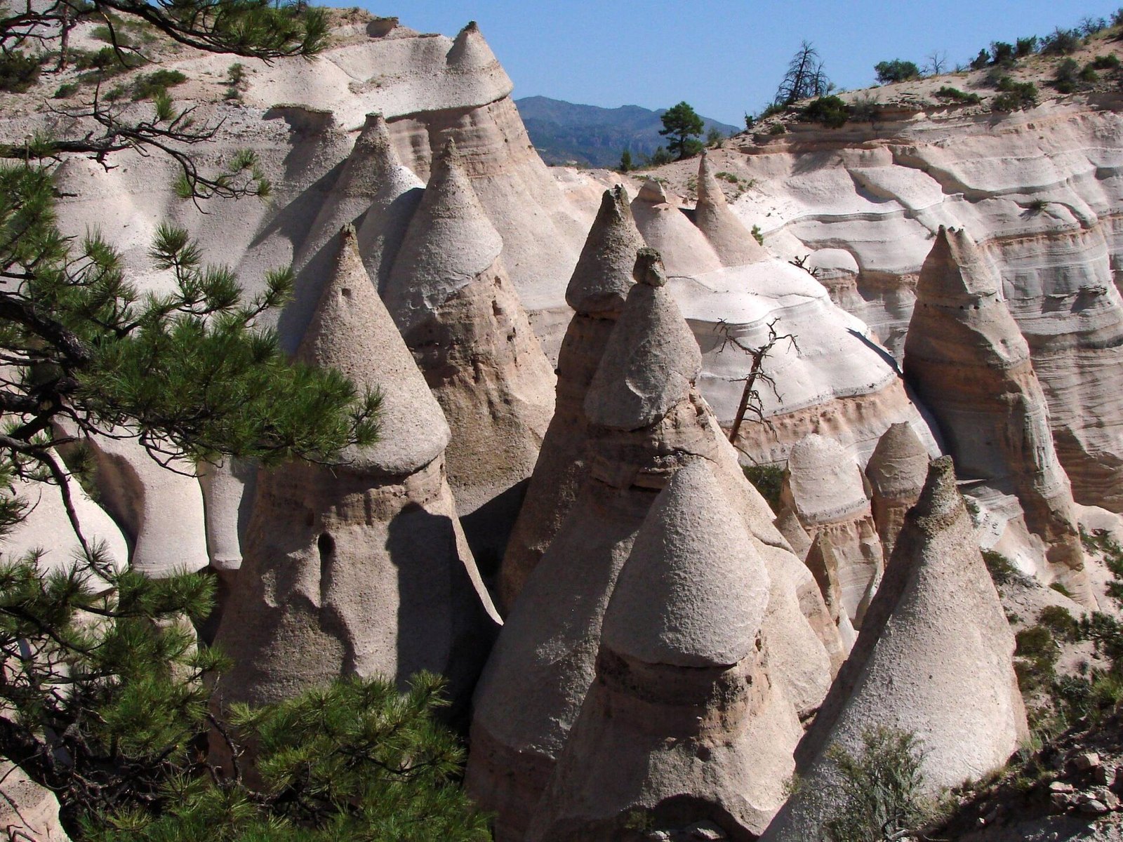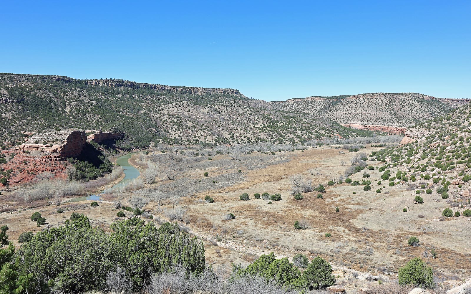
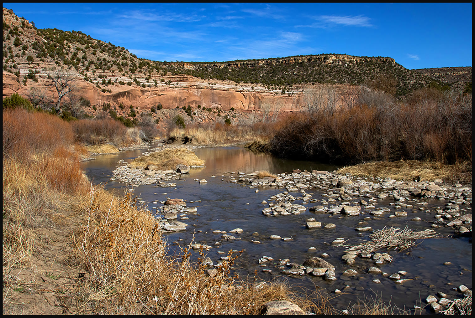
Fig. 1The Canadian River from the Mills Canyon rim, Kiowa National Grassland
Landform
A USFS grassland that drops into Mills Canyon — red sandstone walls, the Canadian River, and cottonwoods the plains forgot.
Field note
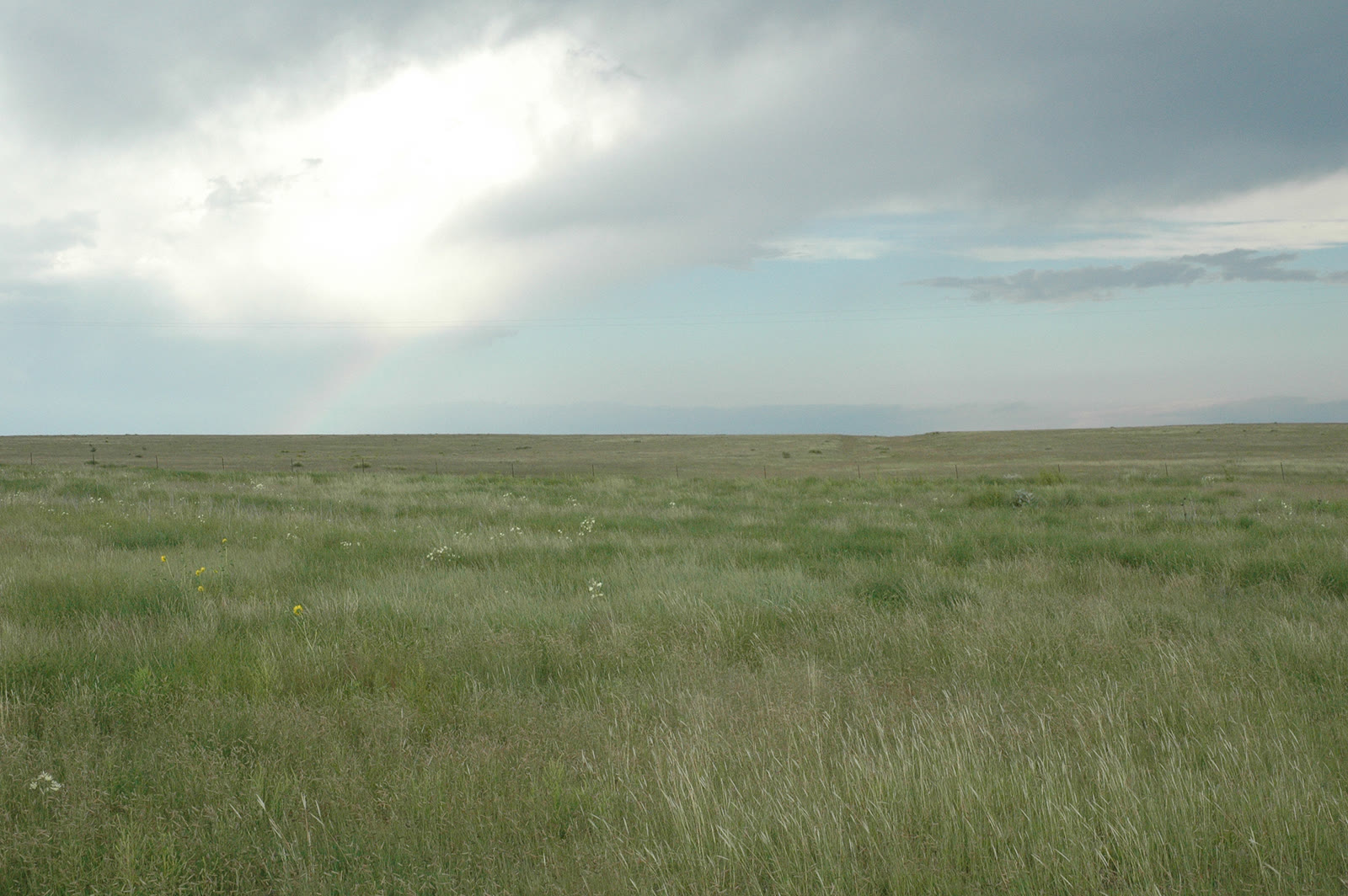
From the grass the cut is sudden. Mills Canyon holds orchard ruins and a green river. Roy and Mosquero are the towns. This plate is Kiowa National Grassland / Mills Canyon, not the Rio Grande Gorge and not a Kansas chalk badland.
Kiowa drops into Mills Canyon — red walls, the Canadian River, cottonwoods. Roy and Mosquero are near. This plate is the USFS canyon, not the Rio Grande Gorge.