Landform
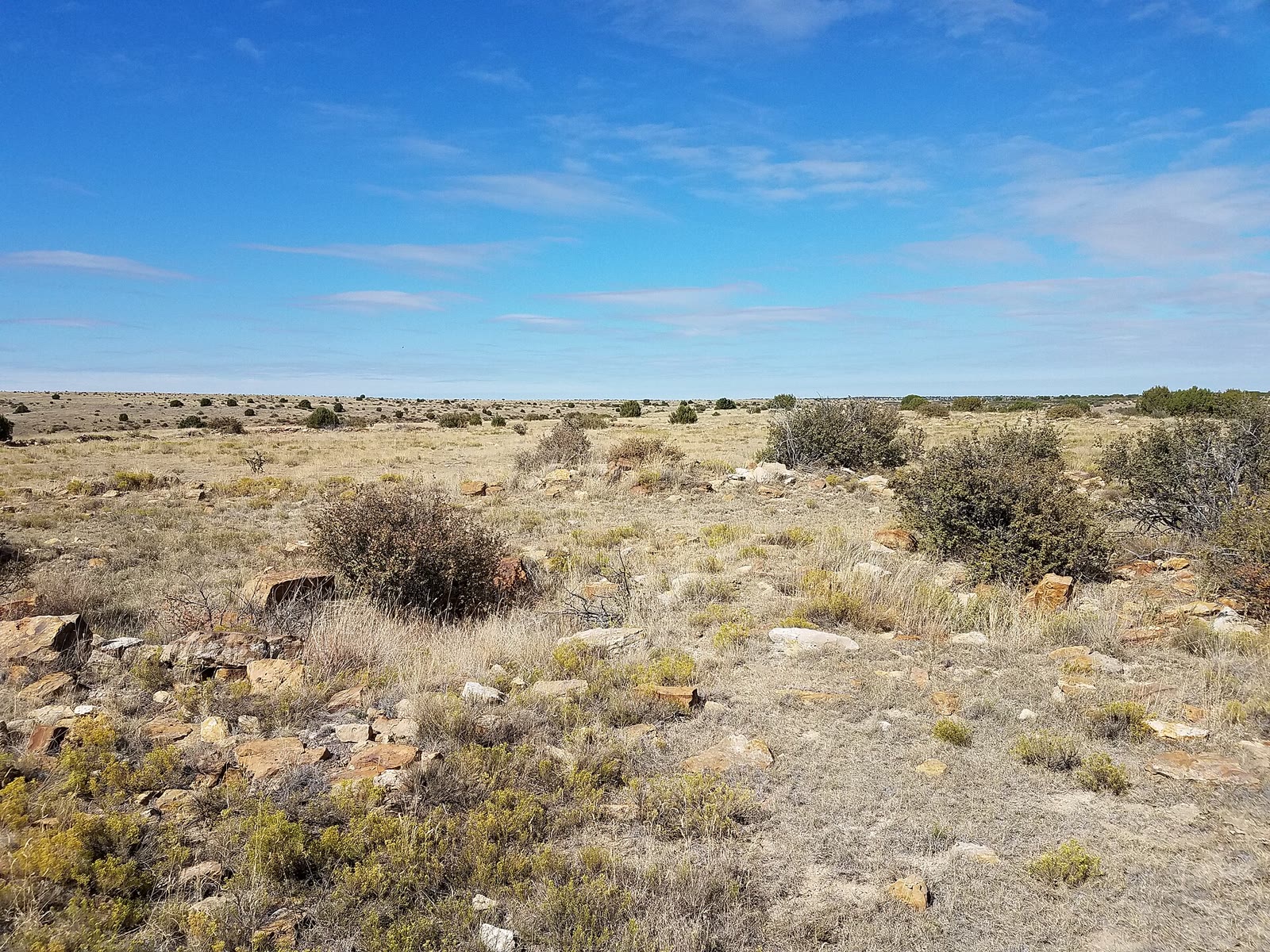
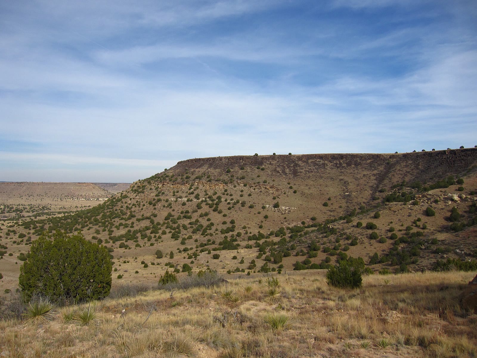
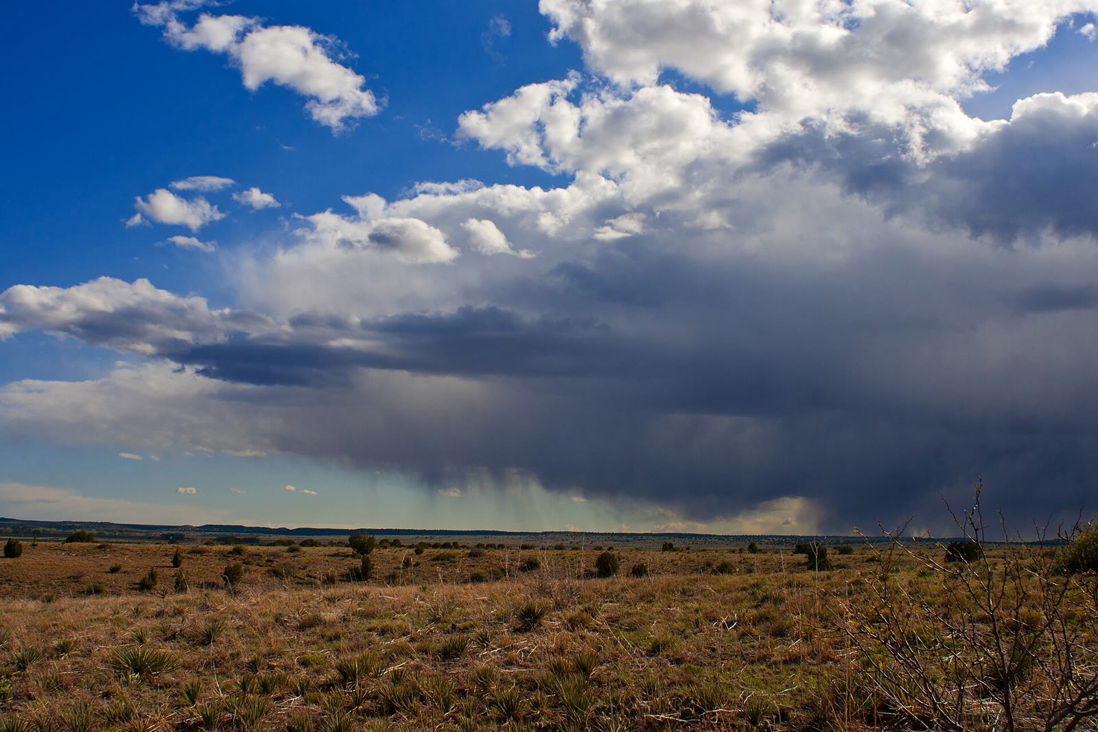
A lava-capped mesa at the state’s high point — dark rimrock over shortgrass, yucca, and a sky that belongs to three states.
Field note
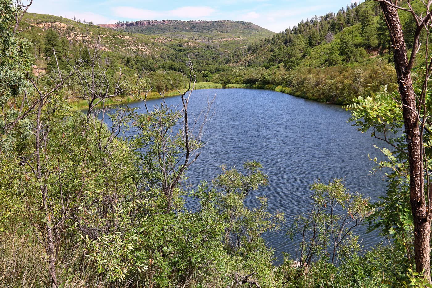
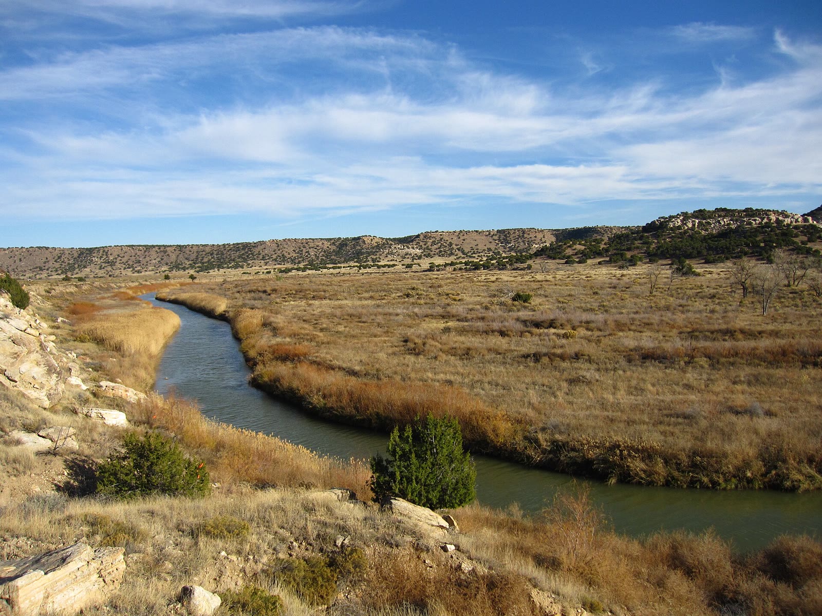
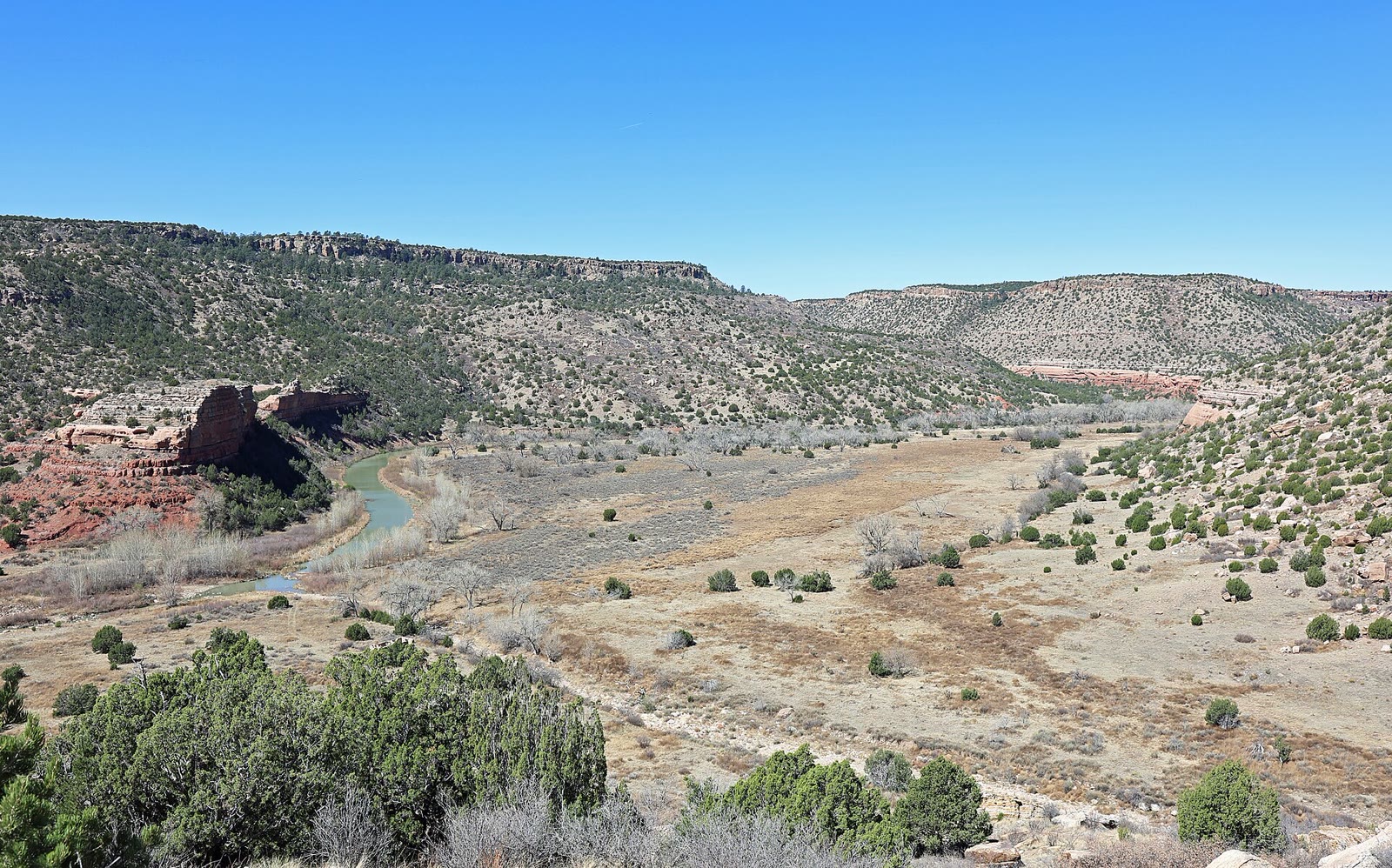
The cap is black basalt. The walk is a long prairie approach. Kenton is the nearest town. This plate is Black Mesa in Oklahoma, not Mesa Arch, not Mesa Verde, and not the Arizona coal mesa.
Black Mesa is Oklahoma’s high point: lava-capped rimrock over shortgrass and yucca. Kenton is the town. This plate is the Oklahoma mesa, not Mesa Arch, not Mesa Verde, and not the Arizona coal country.