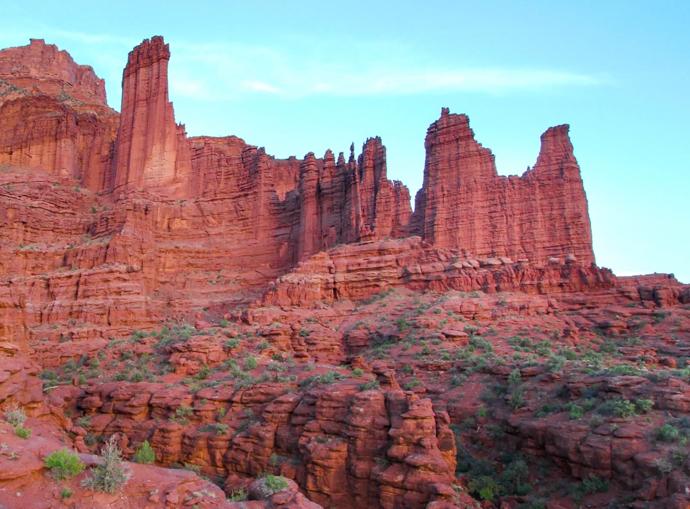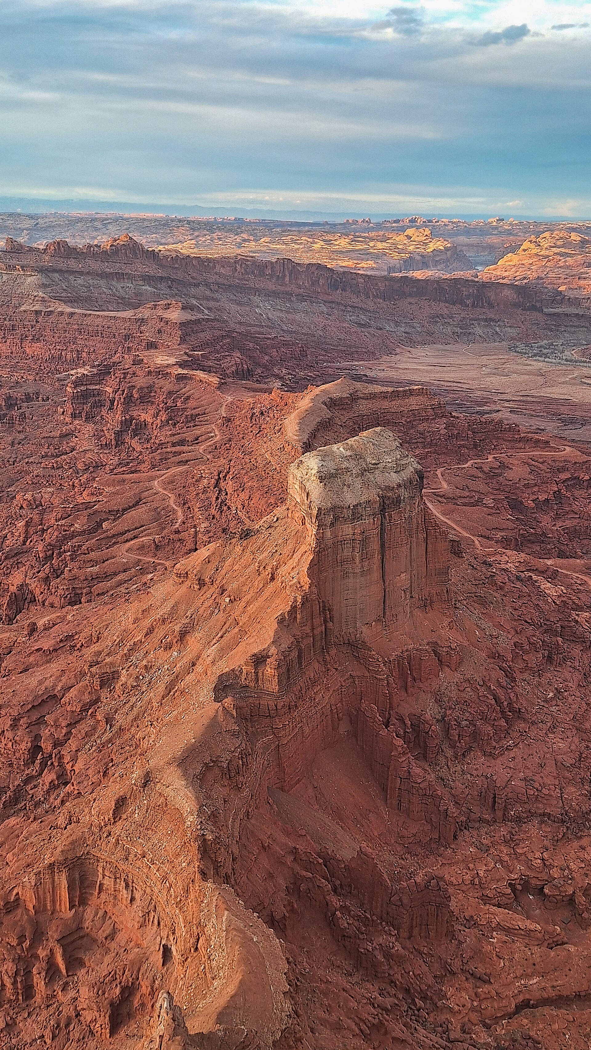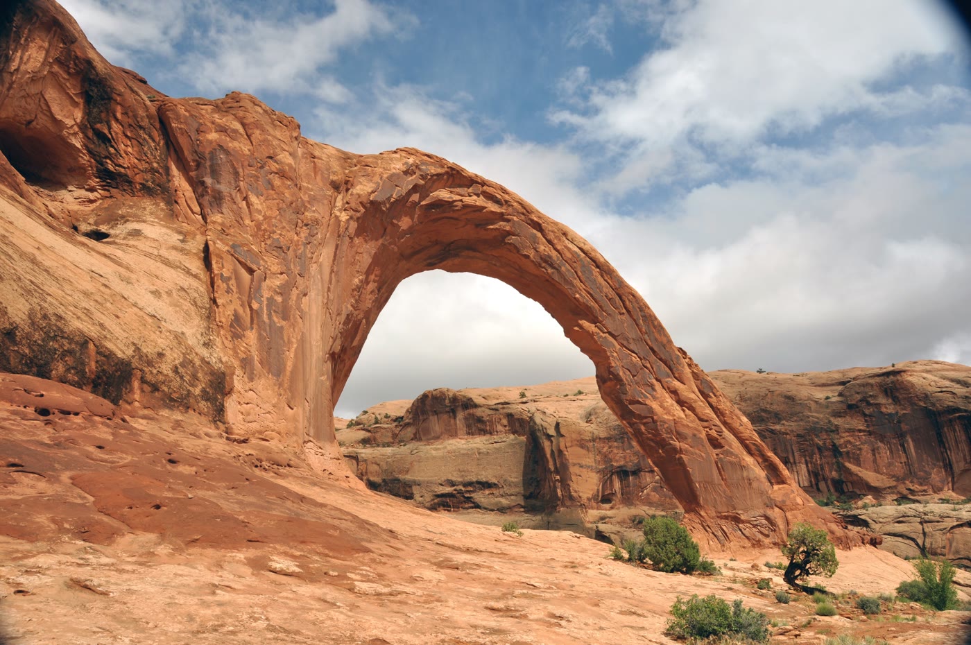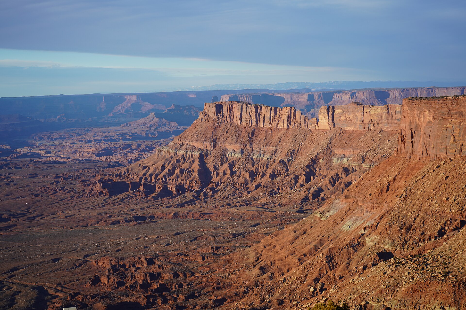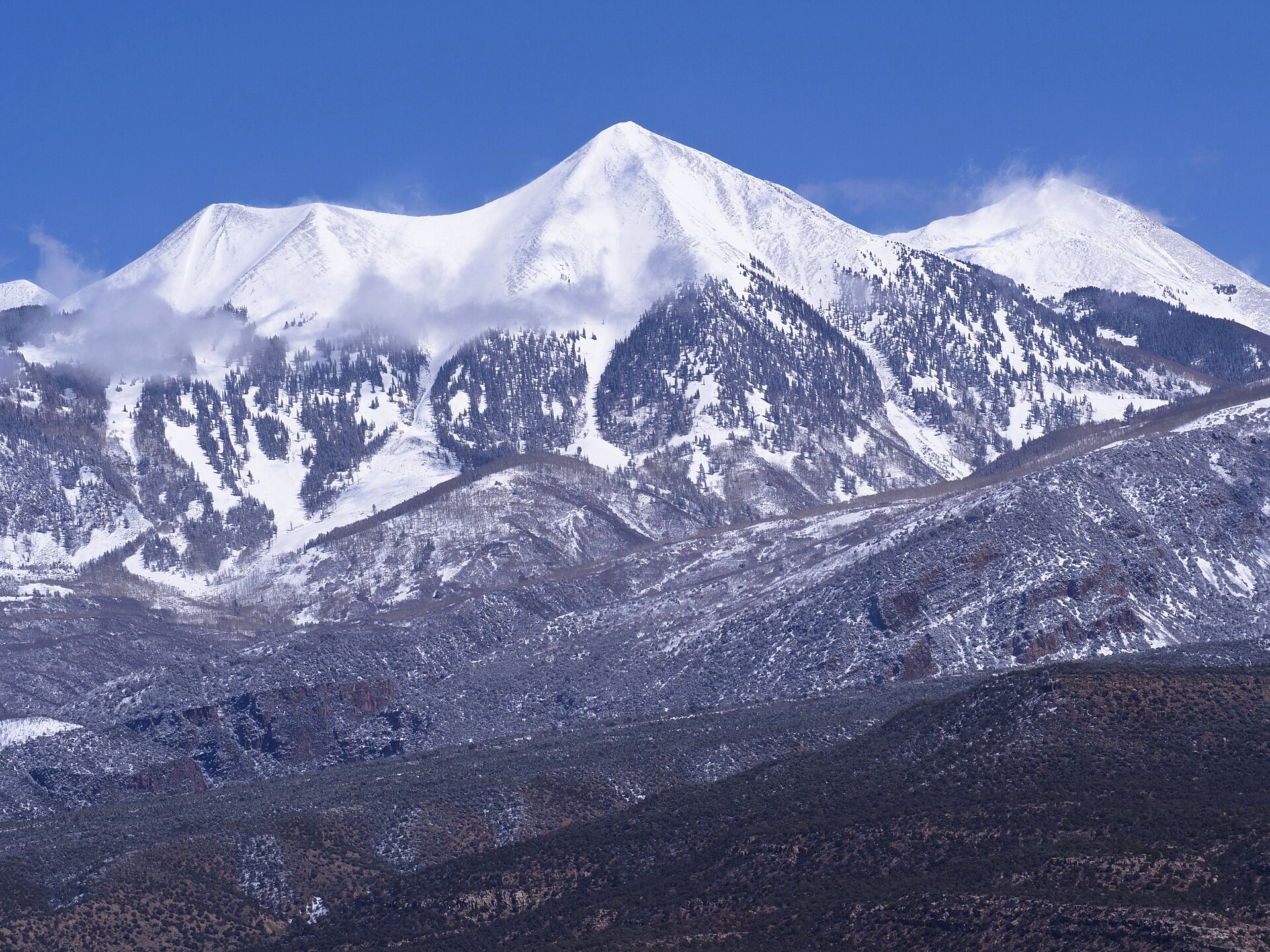
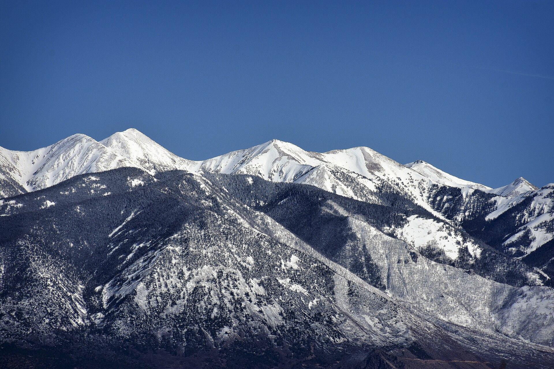
Fig. 1Tukuhnikivatz and Mount Peale under a clear sky
Landform
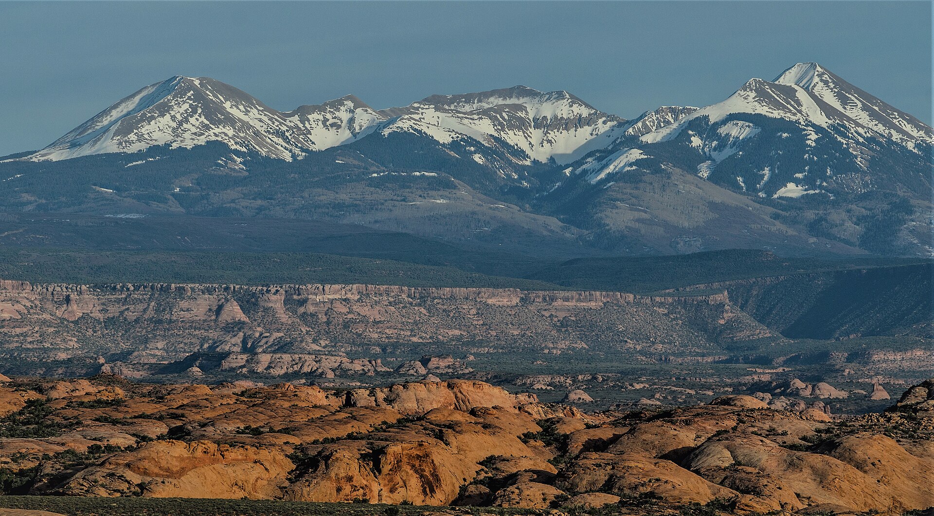
An alpine island over red rock — Mount Peale and Tukuhnikivatz holding snow while slickrock and Castle Valley sit at their feet.
Field note
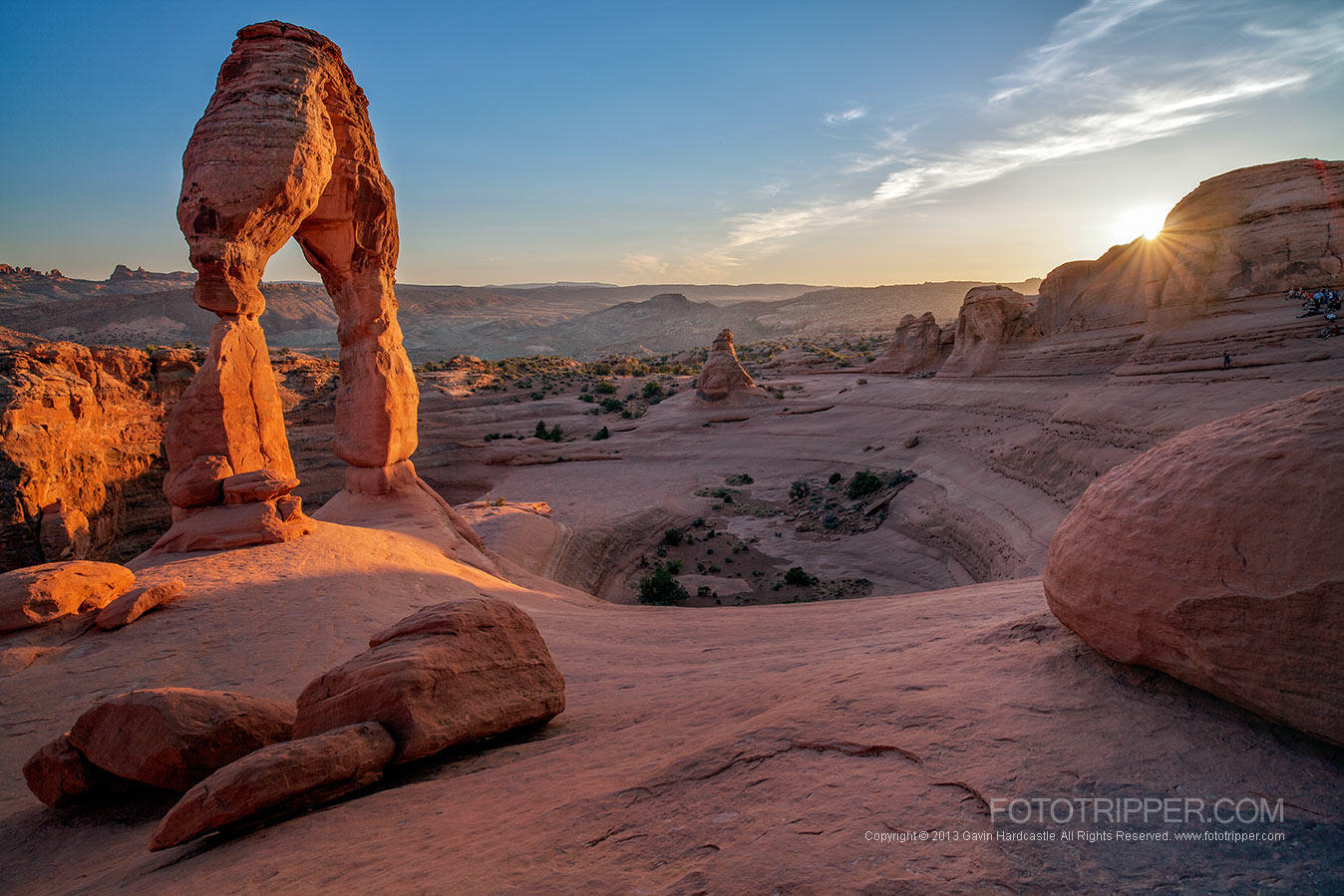
From the petrified dunes the range is a white wall. Moab is the town. This plate is the La Sal Mountains in Manti-La Sal National Forest, not Delicate Arch and not an Arches viewpoint pretending to be the summit.
The La Sals are an alpine island over red rock — Peale and Tukuhnikivatz holding snow while slickrock sits at their feet. Moab is the town. This plate is Manti-La Sal National Forest, not Delicate Arch.