Landform
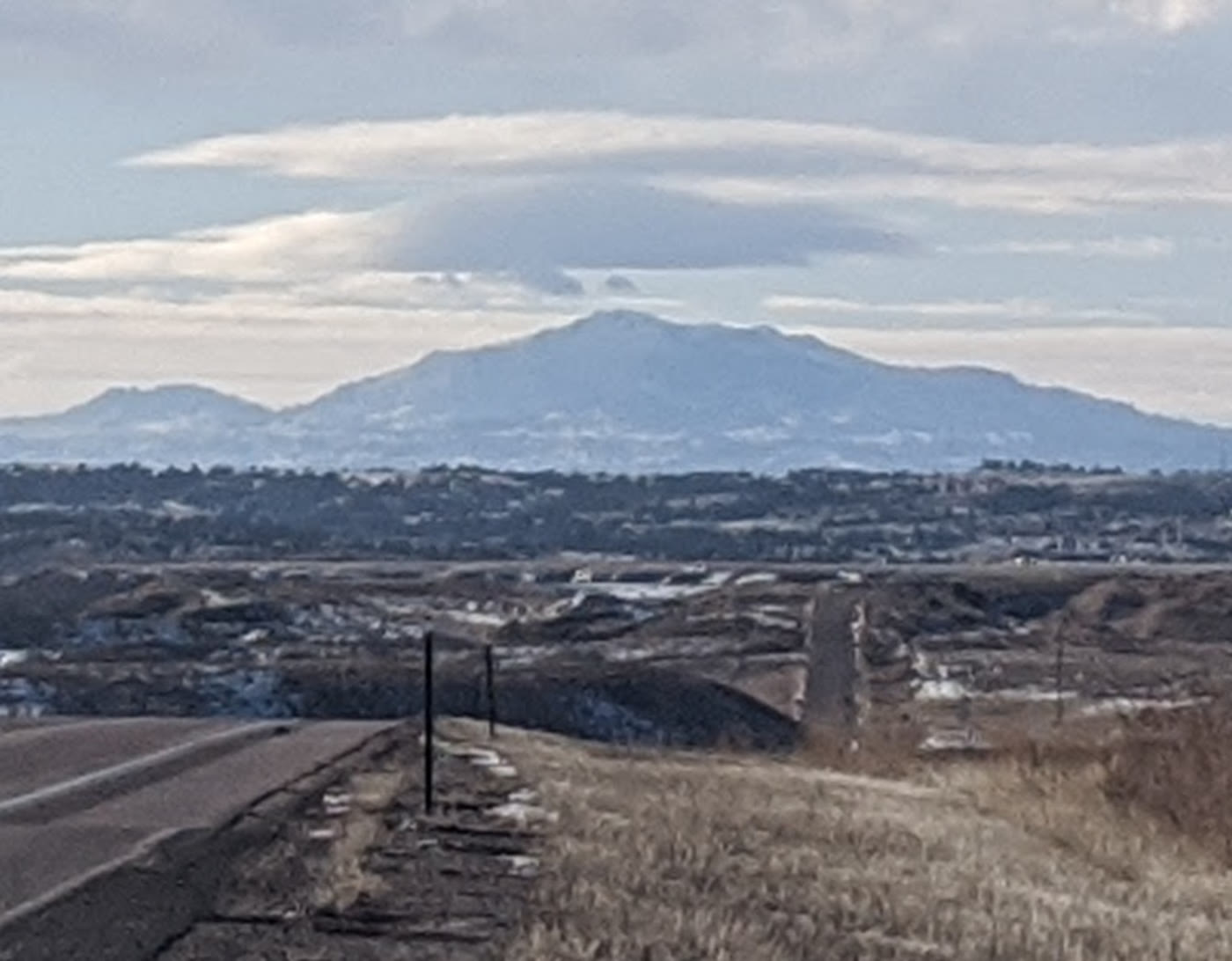
The high point of the Laramie Range — a broad massif the plains see coming.
Field note
From the road it is a blue shoulder with weather on top. The range is older than the Rockies people mean when they say mountains.
The Field Atlas
0/363Alpine chapter · 42.27° N · 105.44° W
The high point of the Laramie Range — a broad massif the plains see coming.
From the road it is a blue shoulder with weather on top. The range is older than the Rockies people mean when they say mountains.
A private leaf
Instant paper, this copy only. Write on the white — a line the walk still owes you.
0 / 24
Opening the leaf…
Onward
The nearest plates, by the miles.
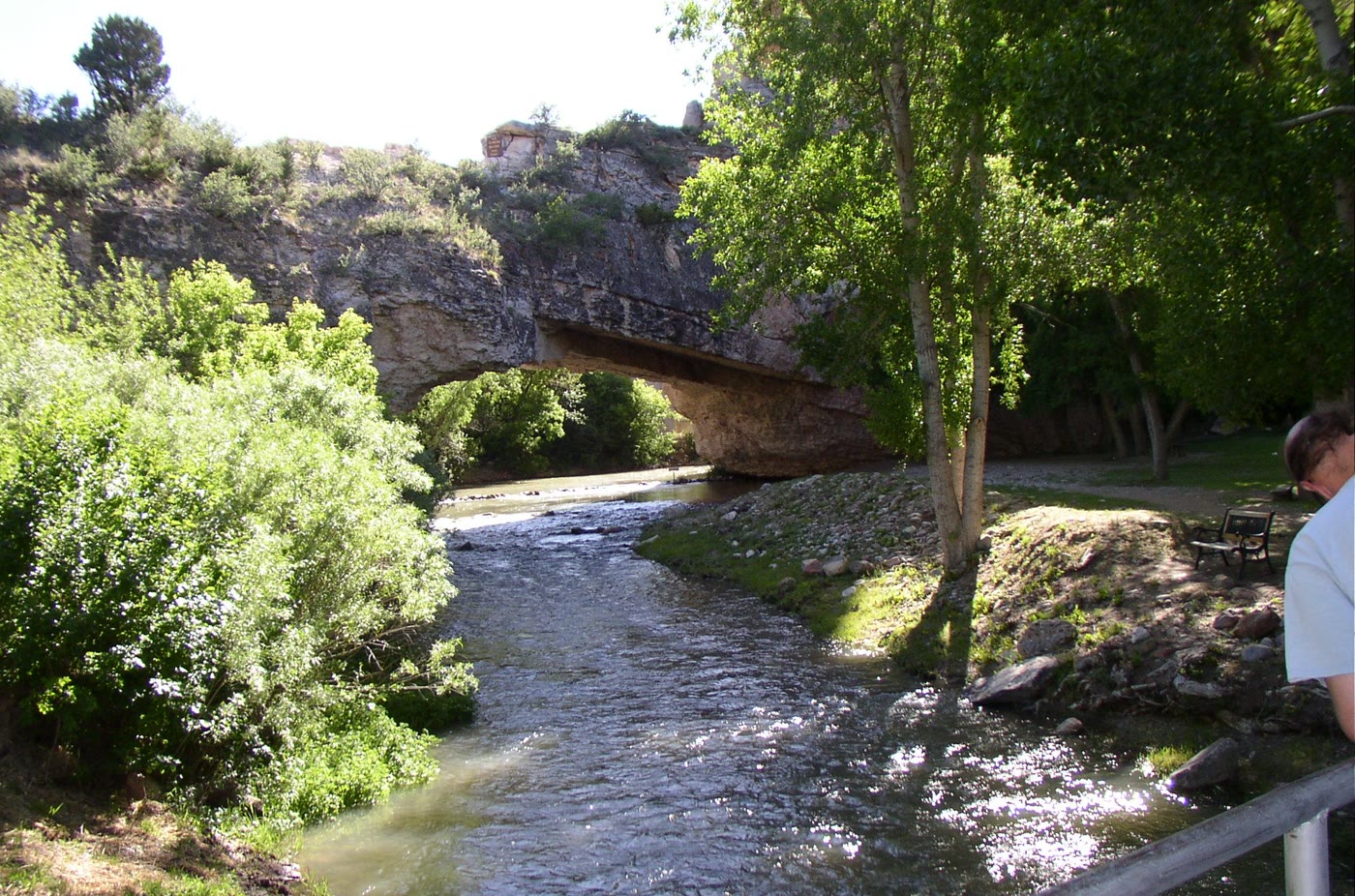 Ayres Natural Bridge33 miles · WyomingCLXVIII
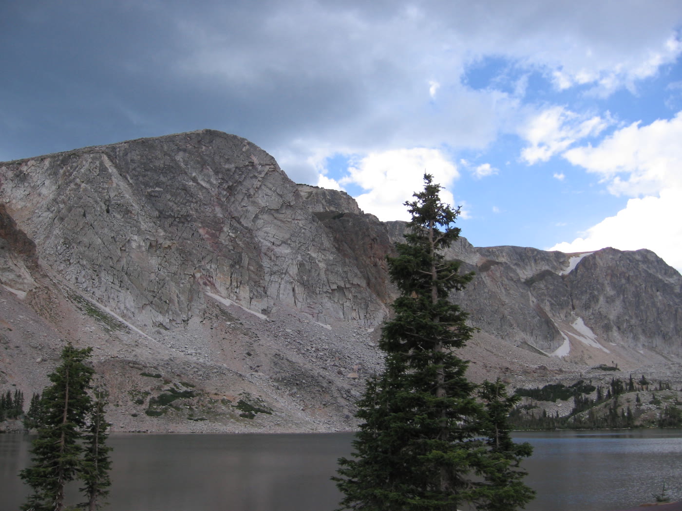 Medicine Bow78 miles · WyomingCLXVII
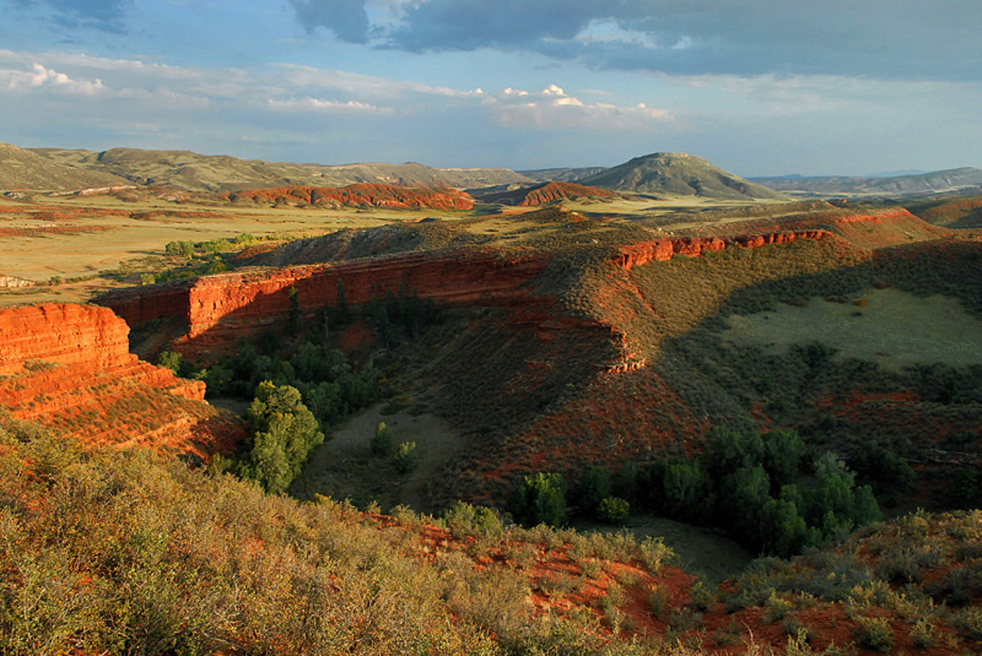 Red Mountain Open Space92 miles · ColoradoCLXXV
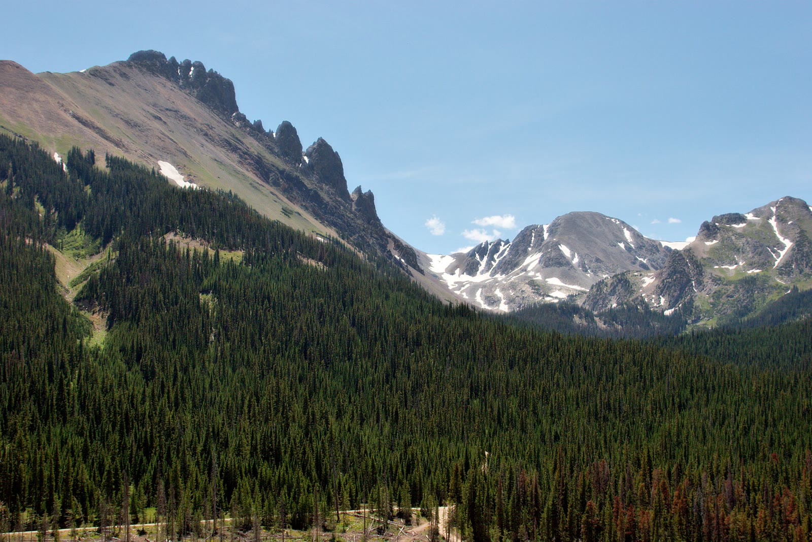 State Forest State Park113 miles · ColoradoCCLXXIV
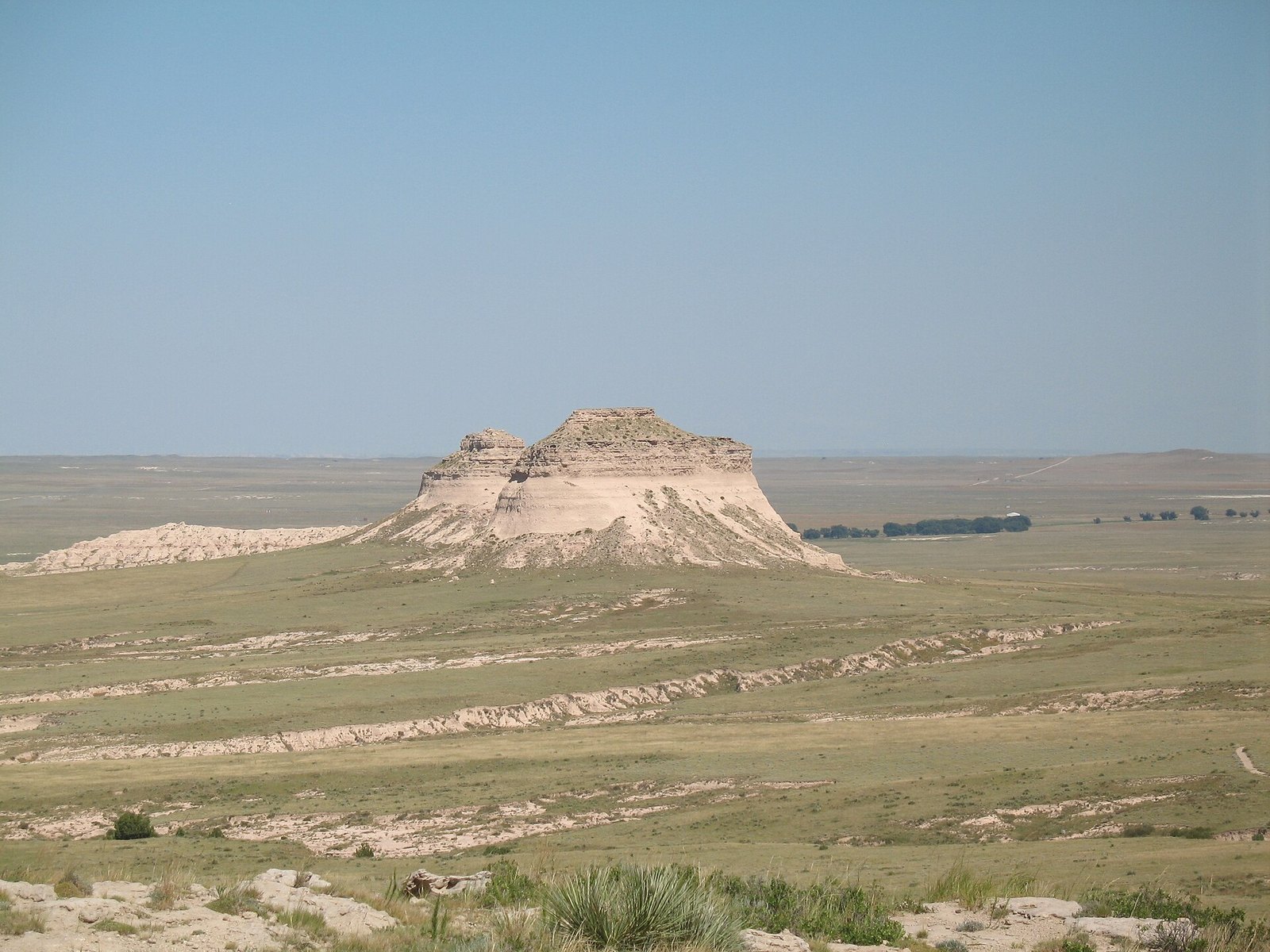 Pawnee Buttes126 miles · ColoradoCV
 The Needles, Black Hills145 miles · South DakotaLXV
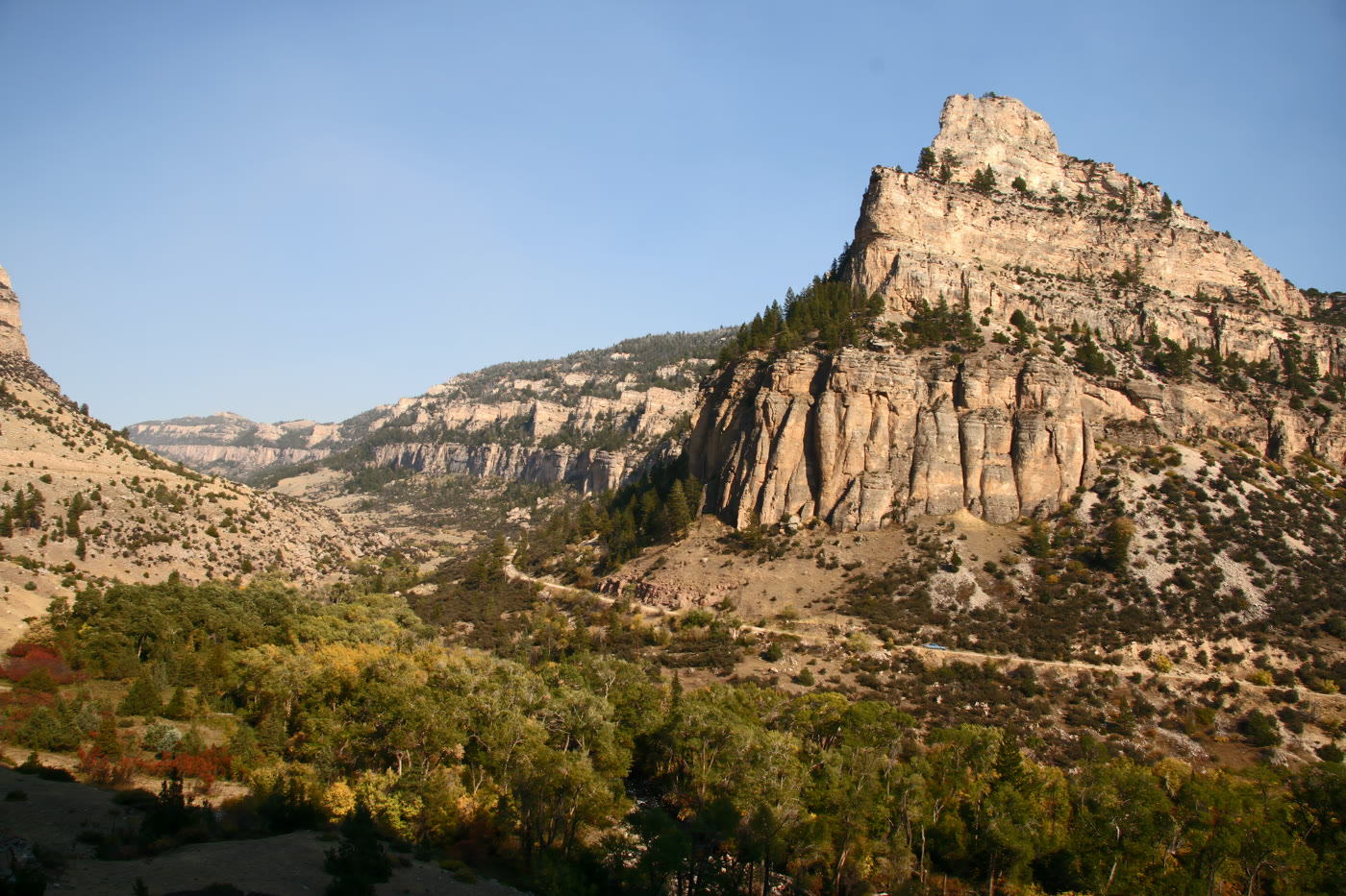 Tensleep Canyon157 miles · WyomingCLXXII
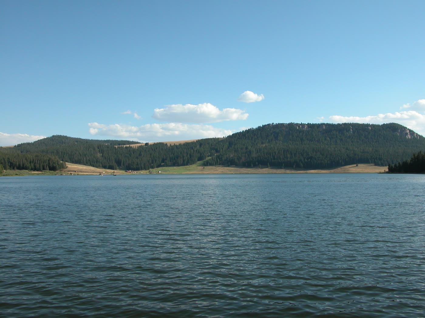 Meadowlark Lake159 miles · WyomingCLXXI
Alpine chapter
Other US alpine plates. See all alpine destinations in the USA
Fold-out