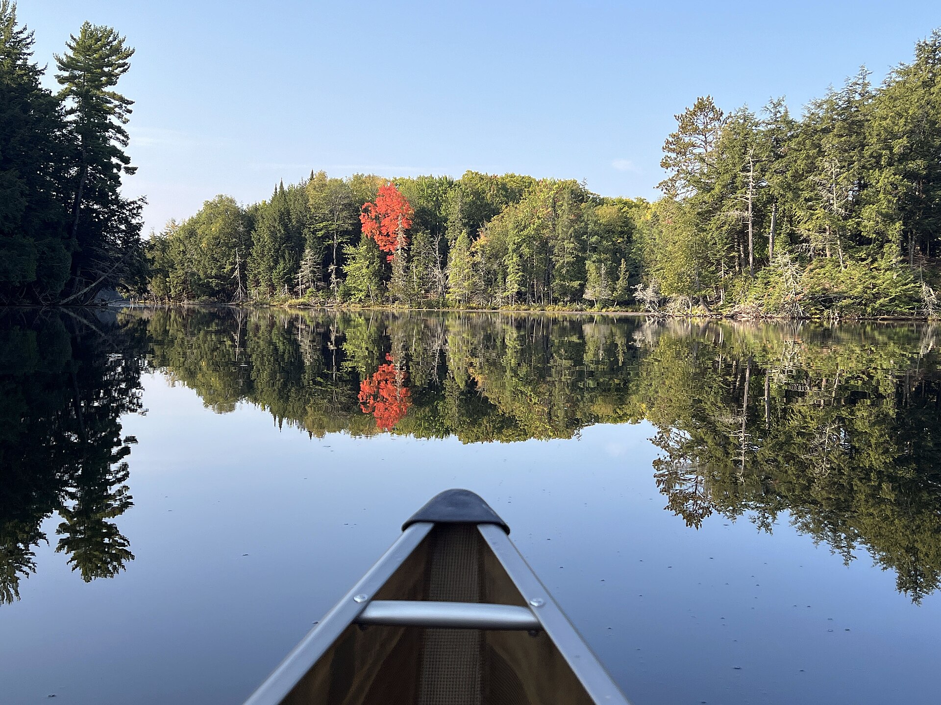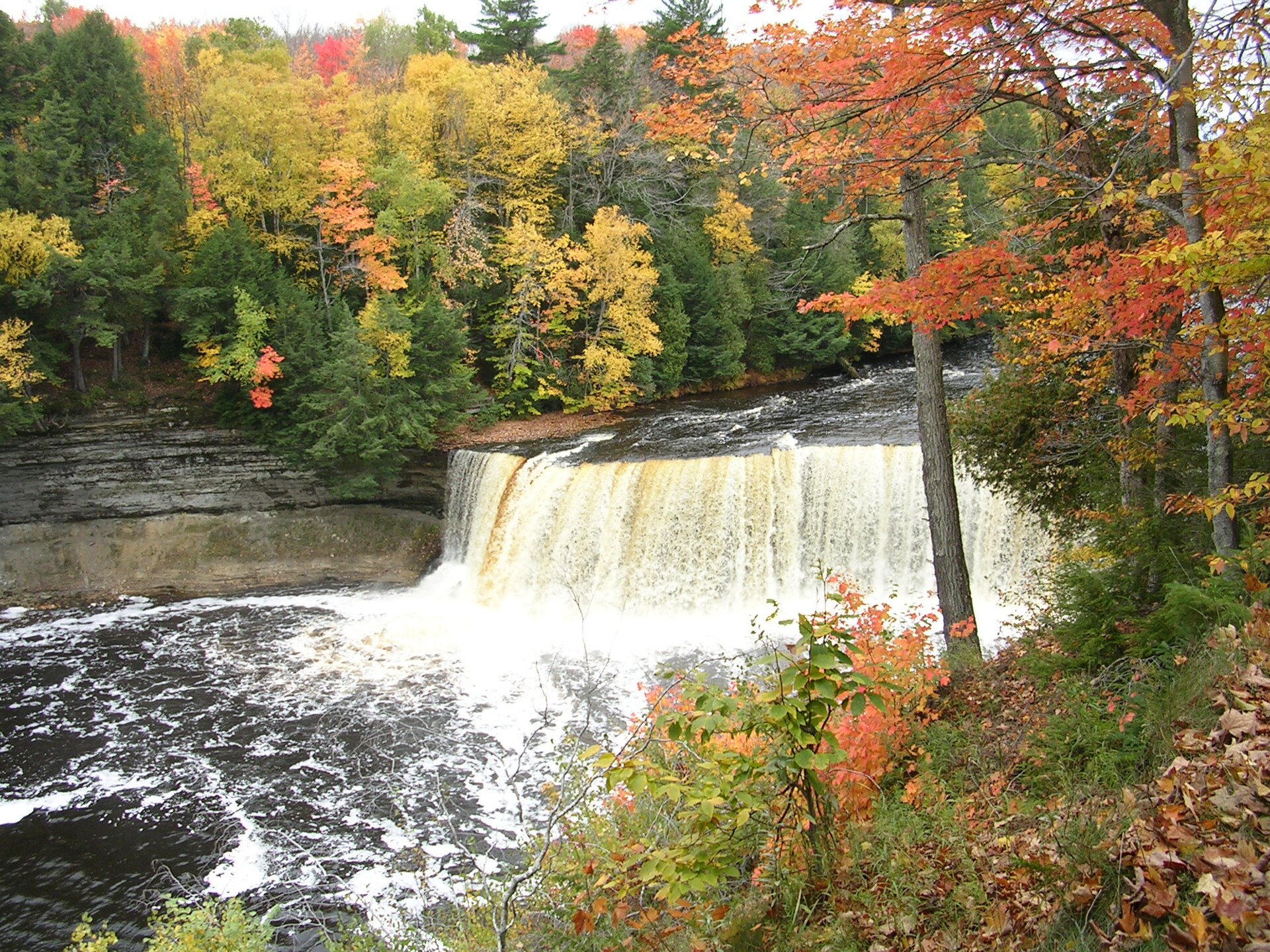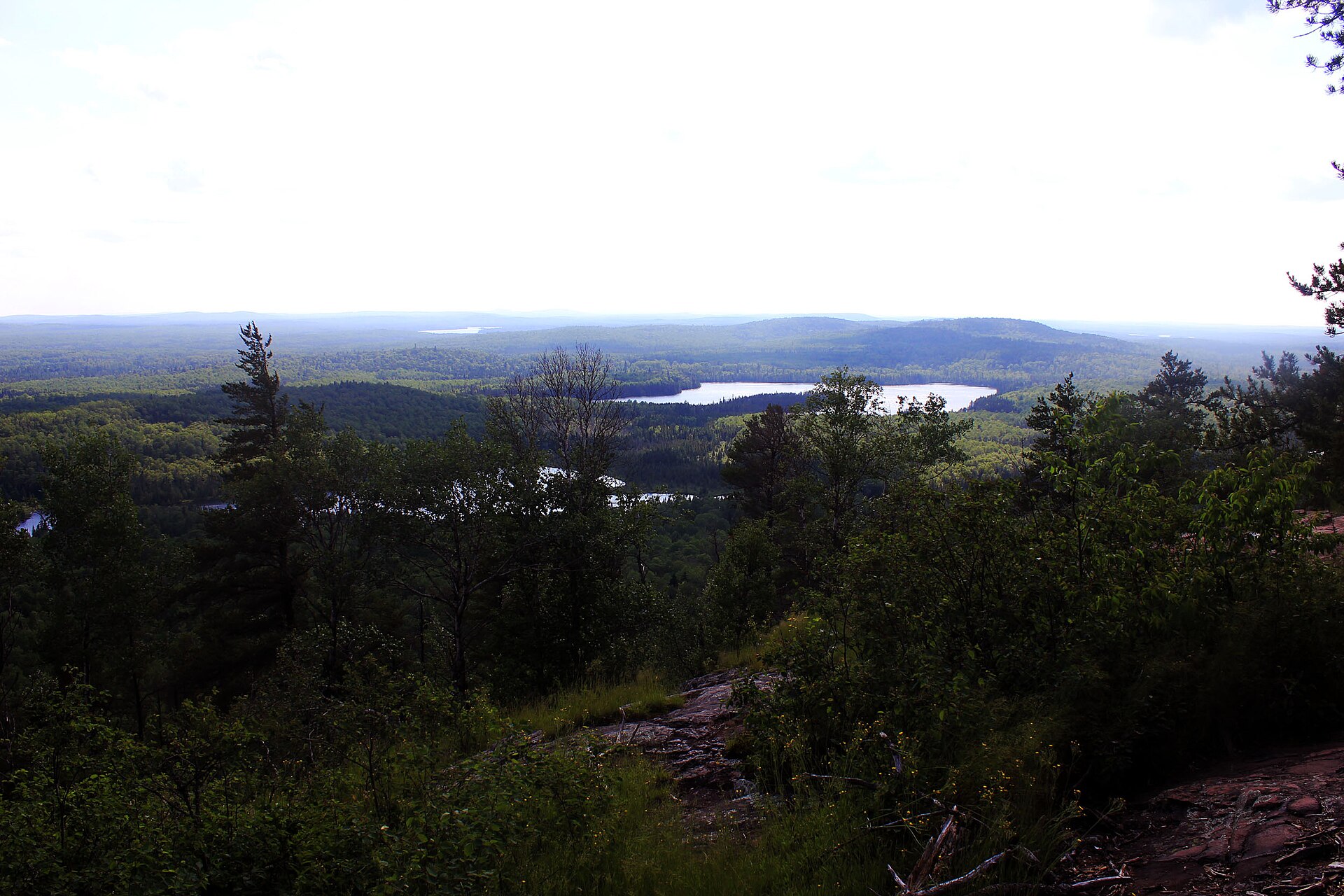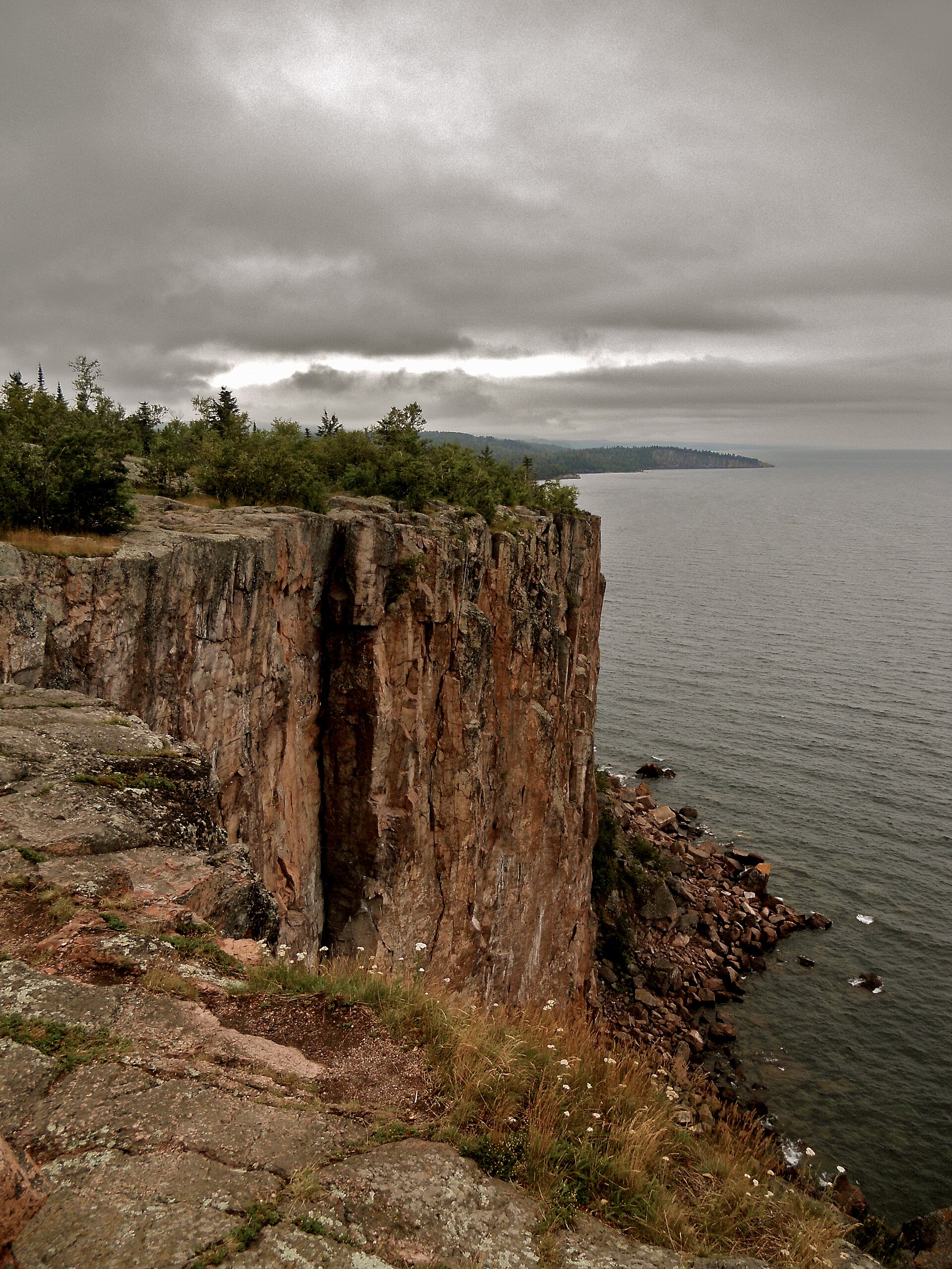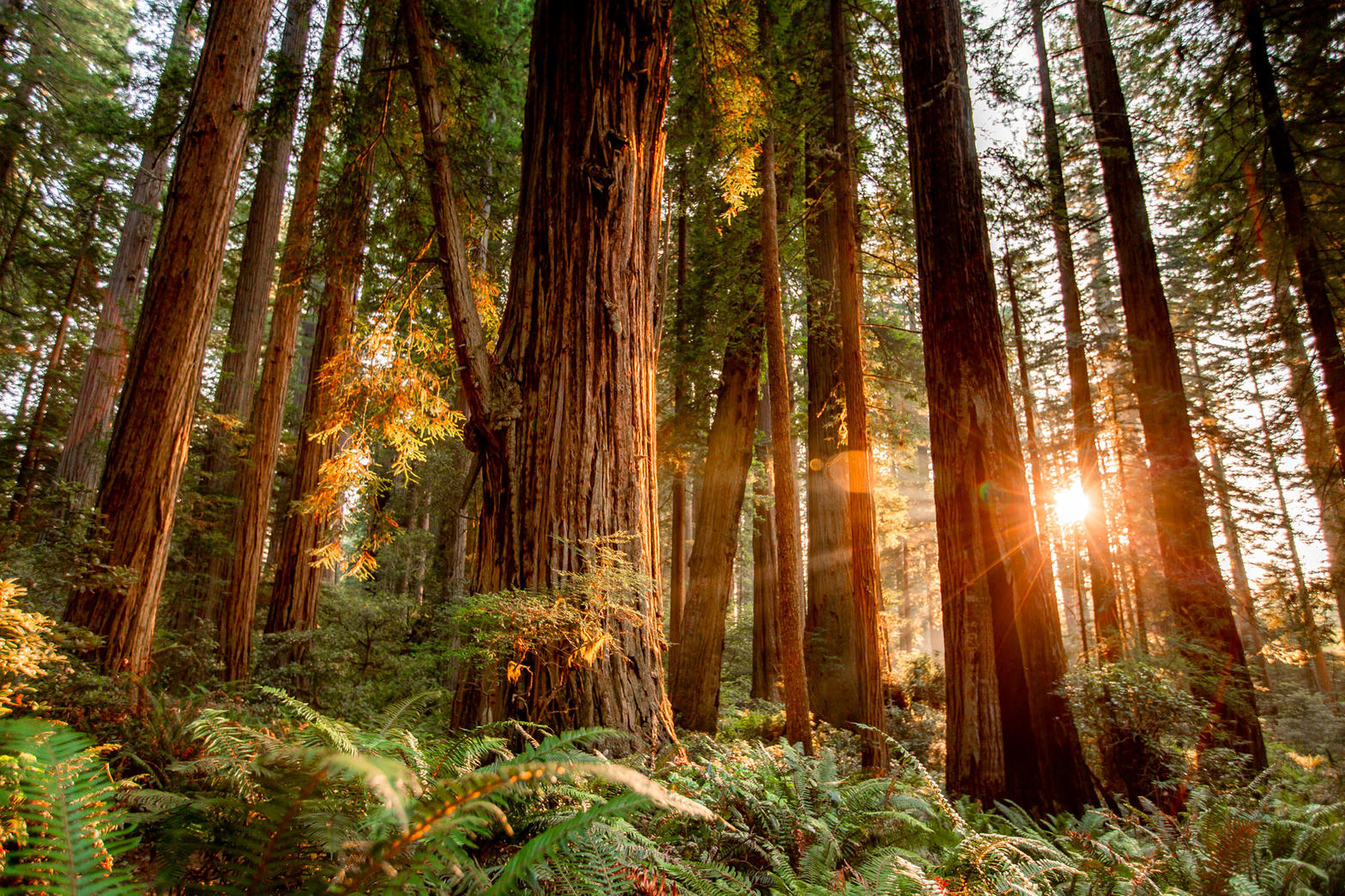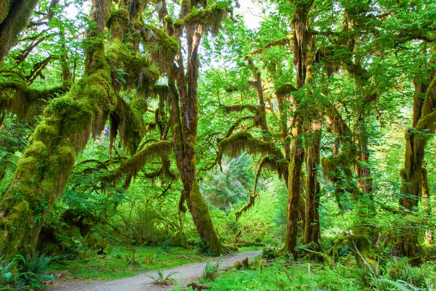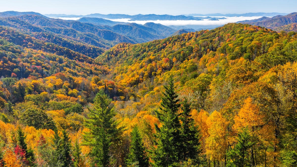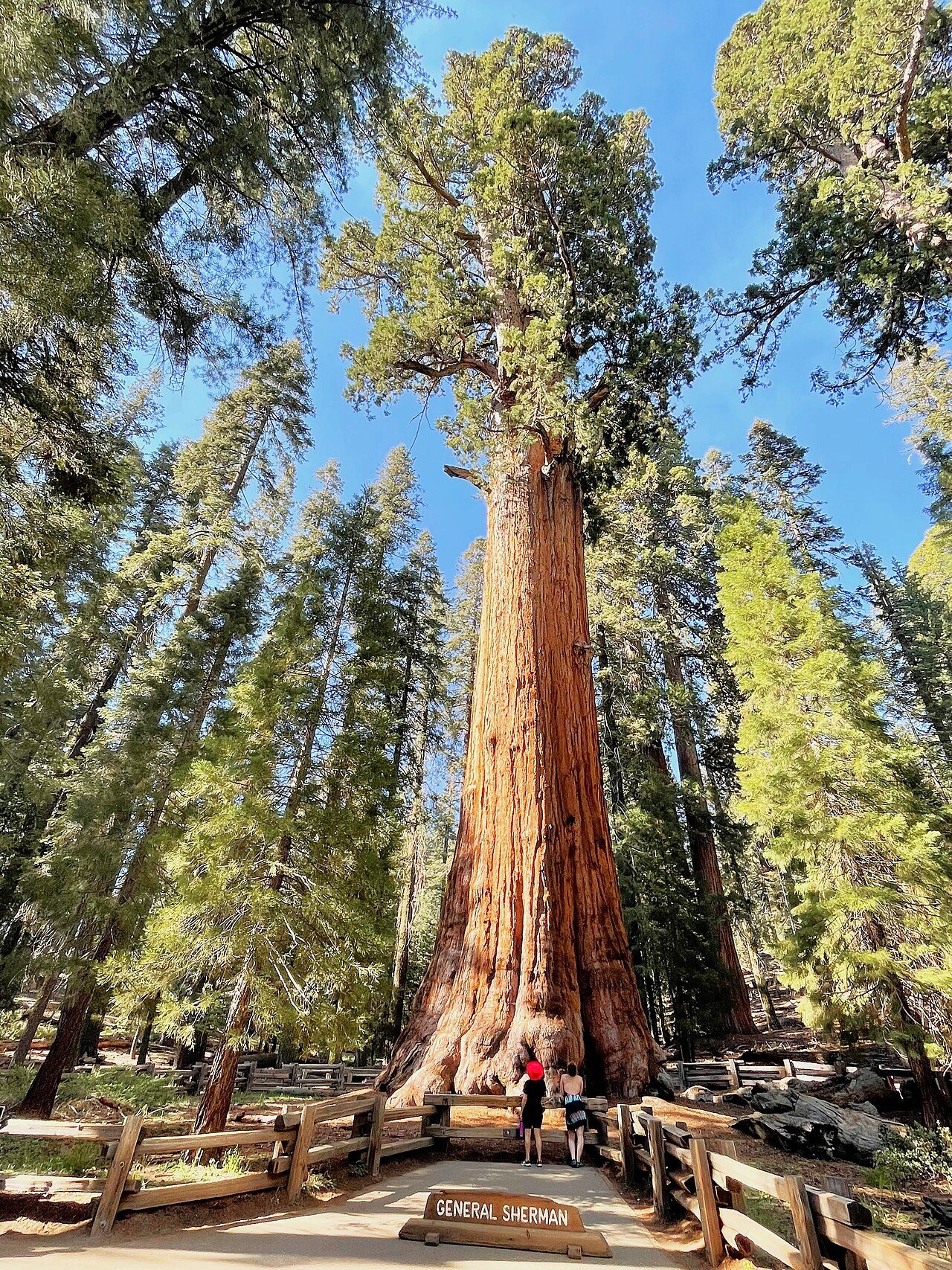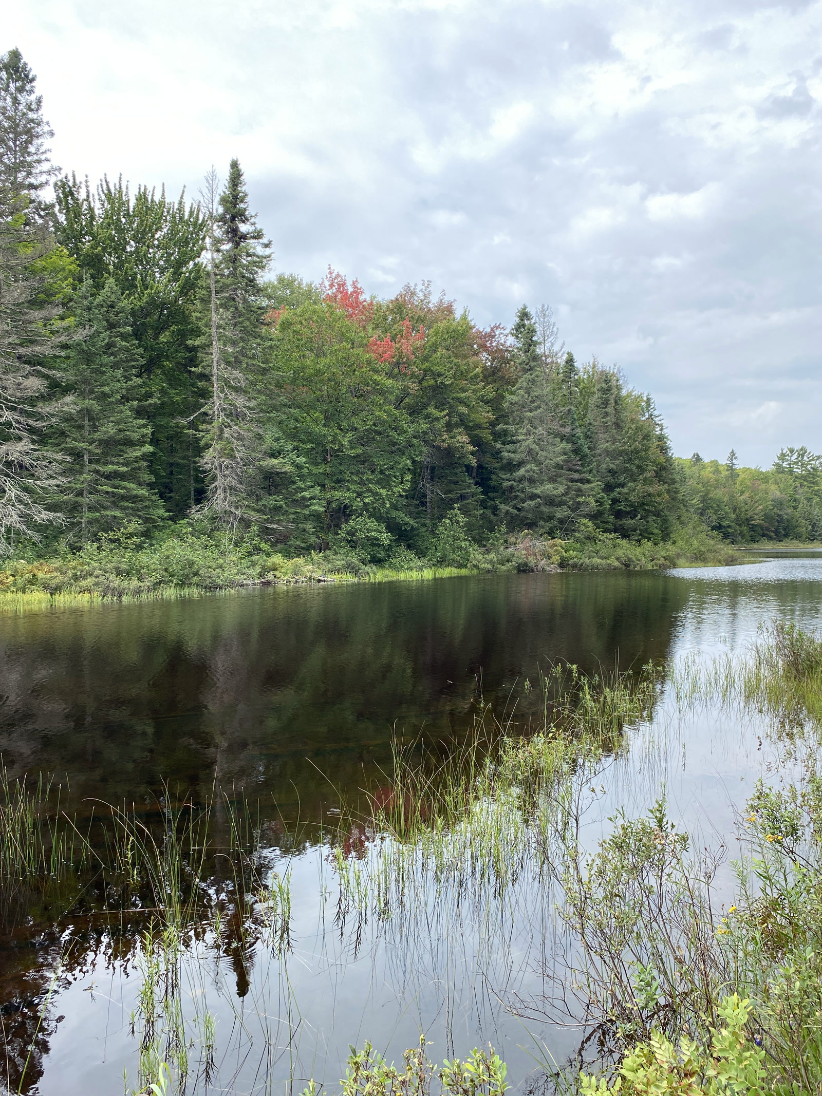
Fig. 1Early color at Lower Baraga Lake, McCormick Wilderness
Landform
Northern hardwood and pine around Lower Baraga Lake — Ottawa National Forest headwaters, not a Great Lakes shore park.
Field note
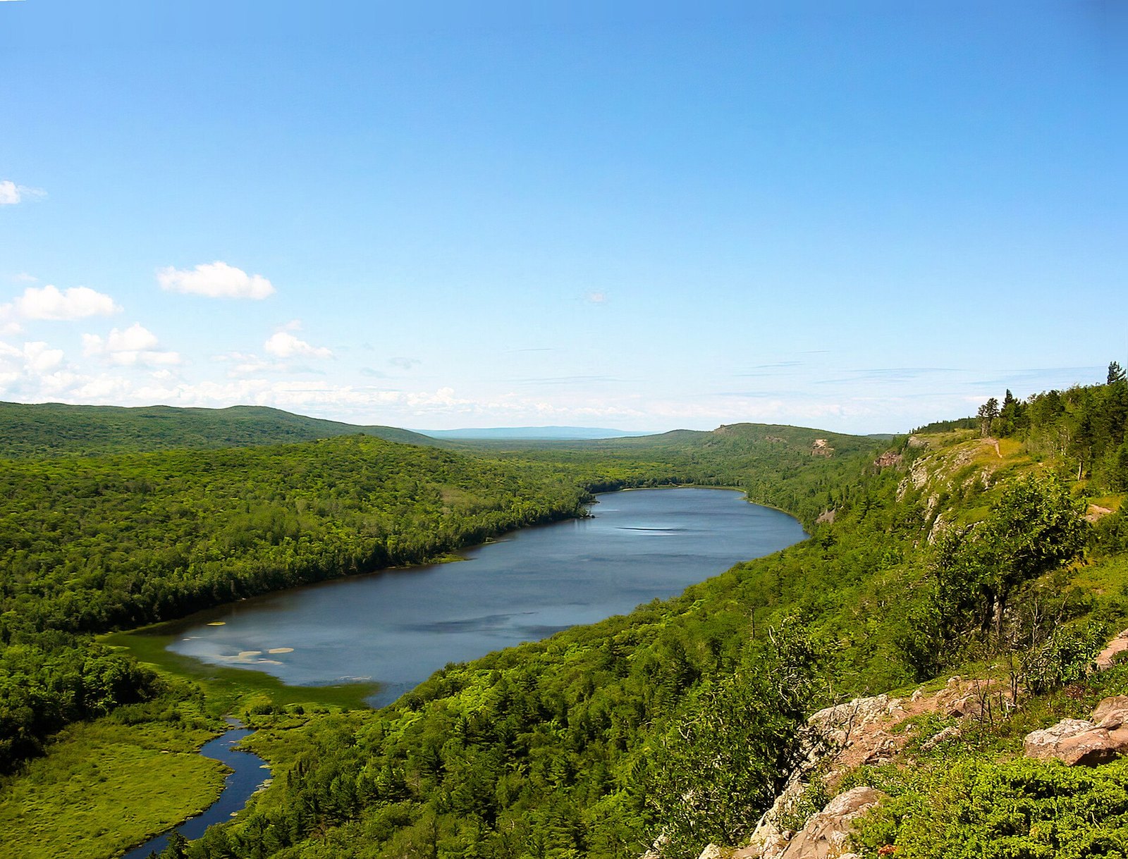
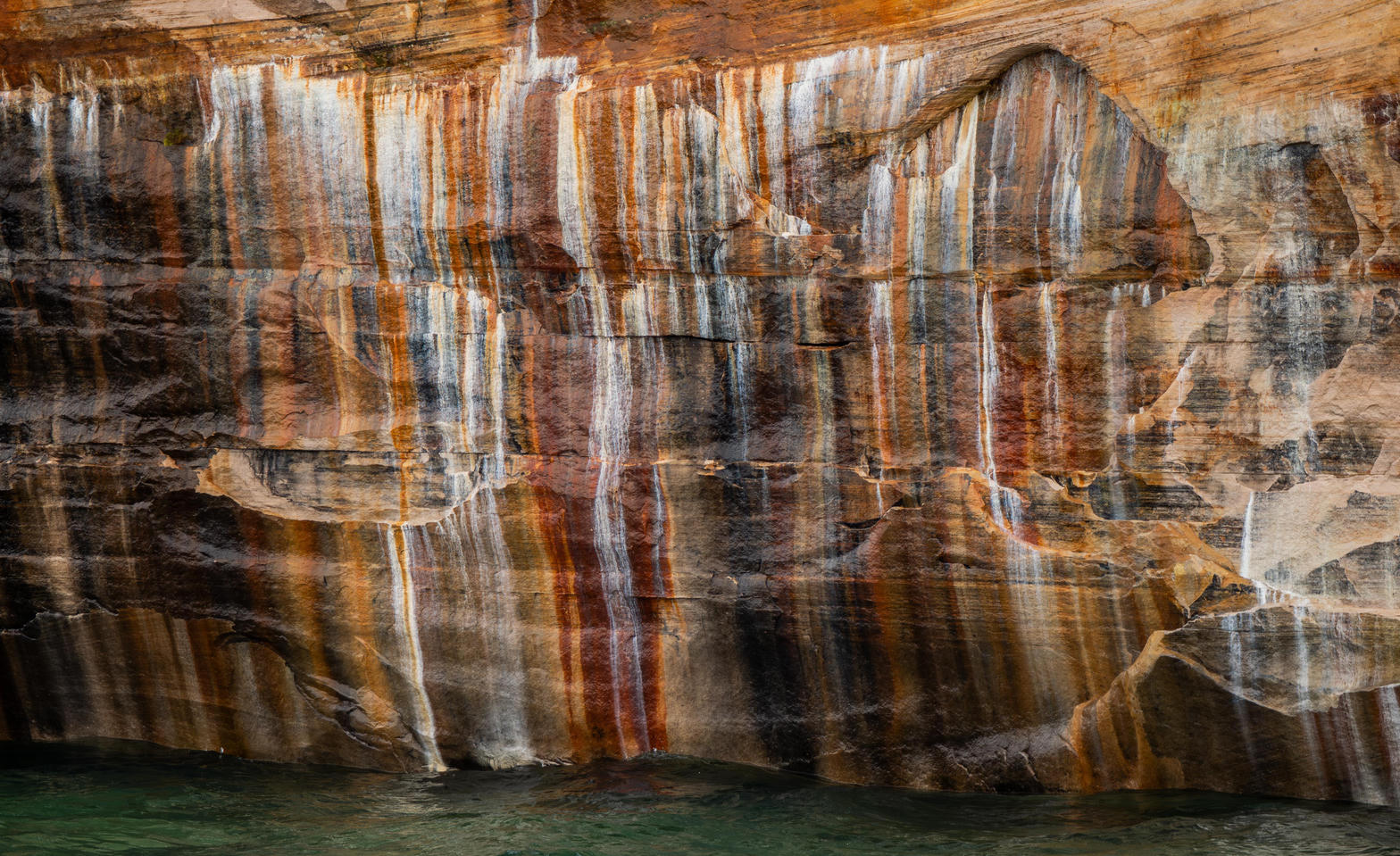
Lower Baraga Lake sits in the Peshekee highlands. Color starts on the hardwood in late August. The tract holds headwaters of the Huron, Dead, Peshekee, and Yellow Dog; the McCormick family willed it to the Forest Service, and Congress named the wilderness in 1987. There is no park road. This plate is McCormick, not Pictured Rocks and not Lake of the Clouds.
McCormick is Ottawa National Forest wilderness east of the Baraga–Marquette line. Lower Baraga Lake is the named water. The tract was willed to the Forest Service and designated in 1987. This plate is McCormick, not Pictured Rocks and not the Porkies.