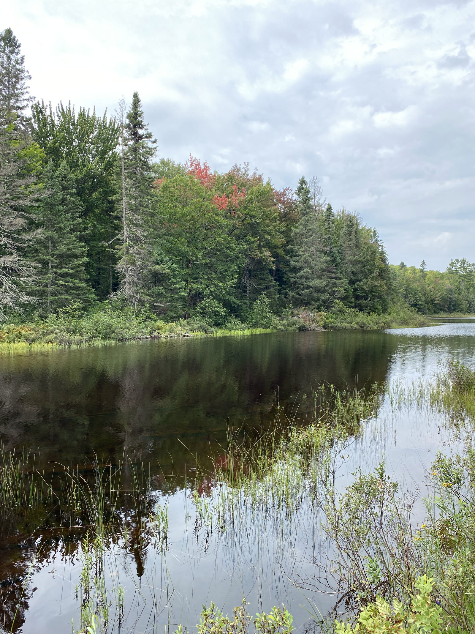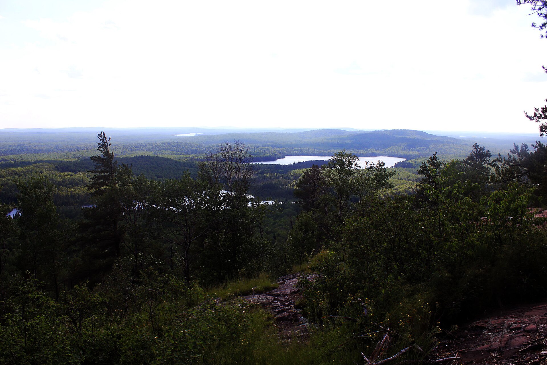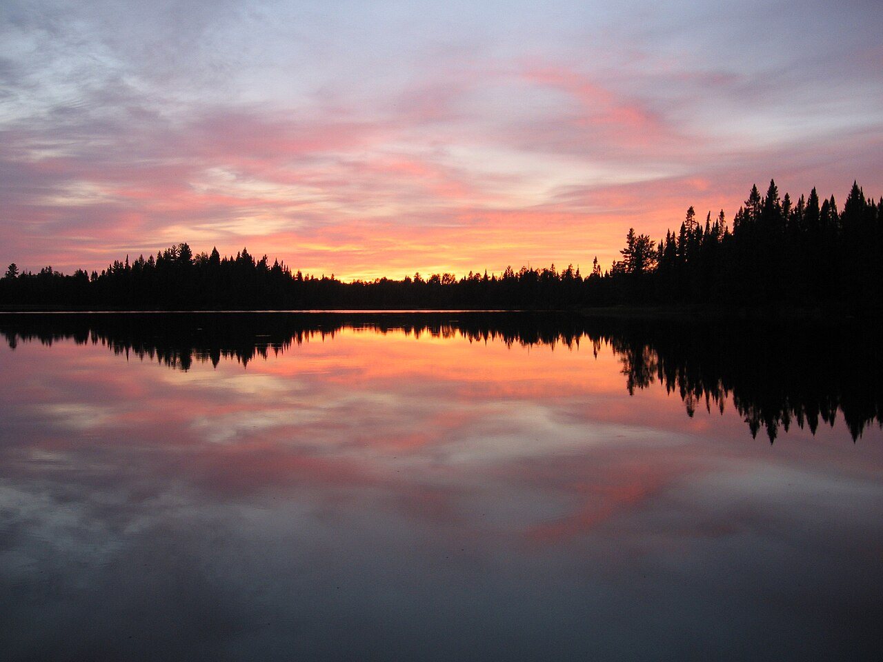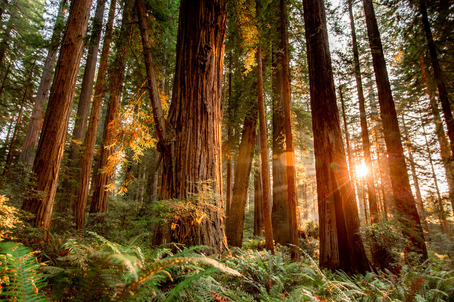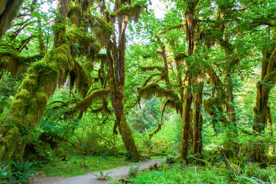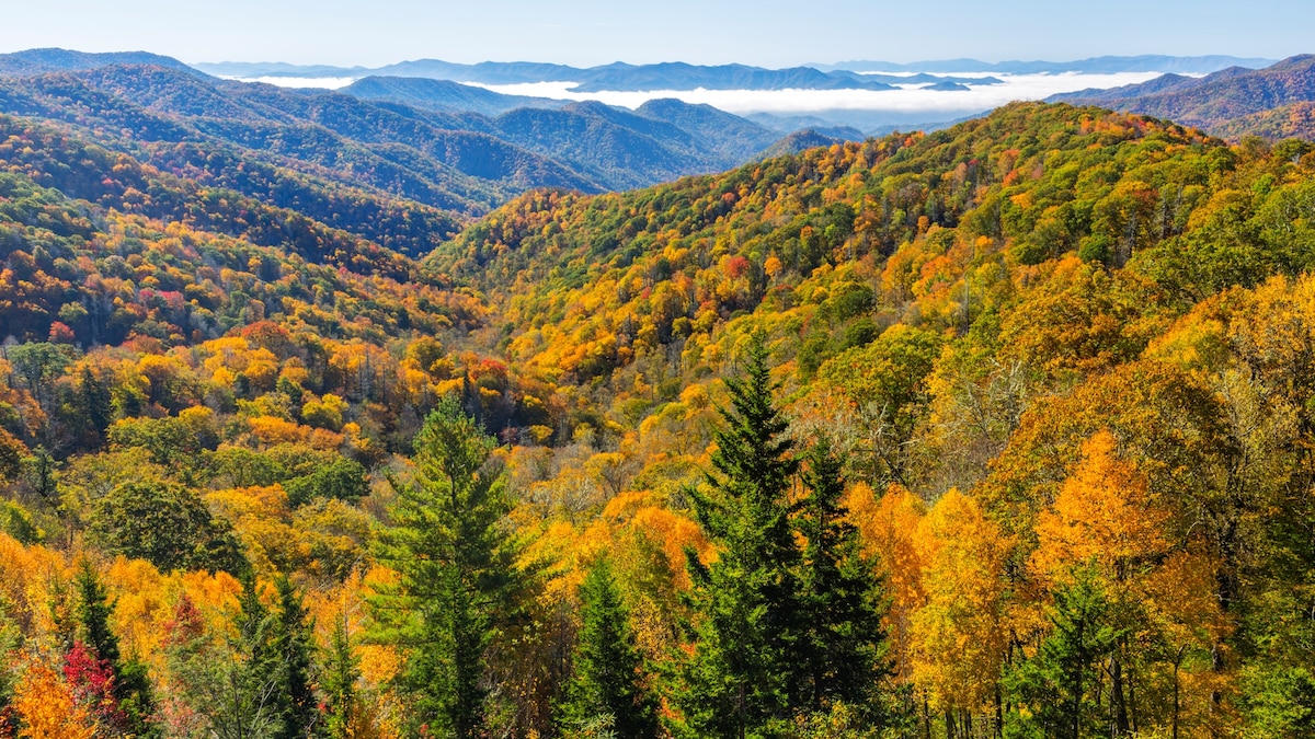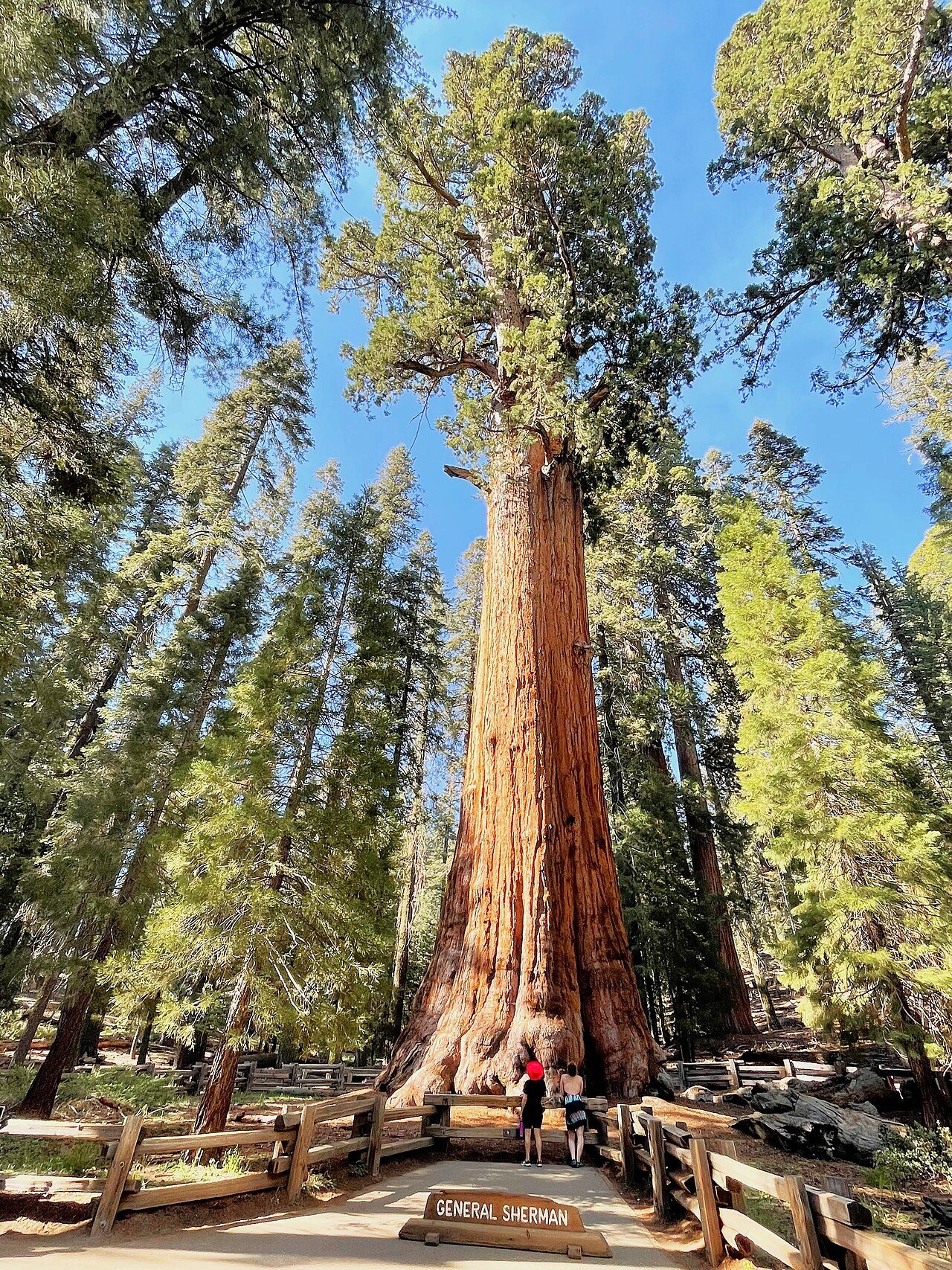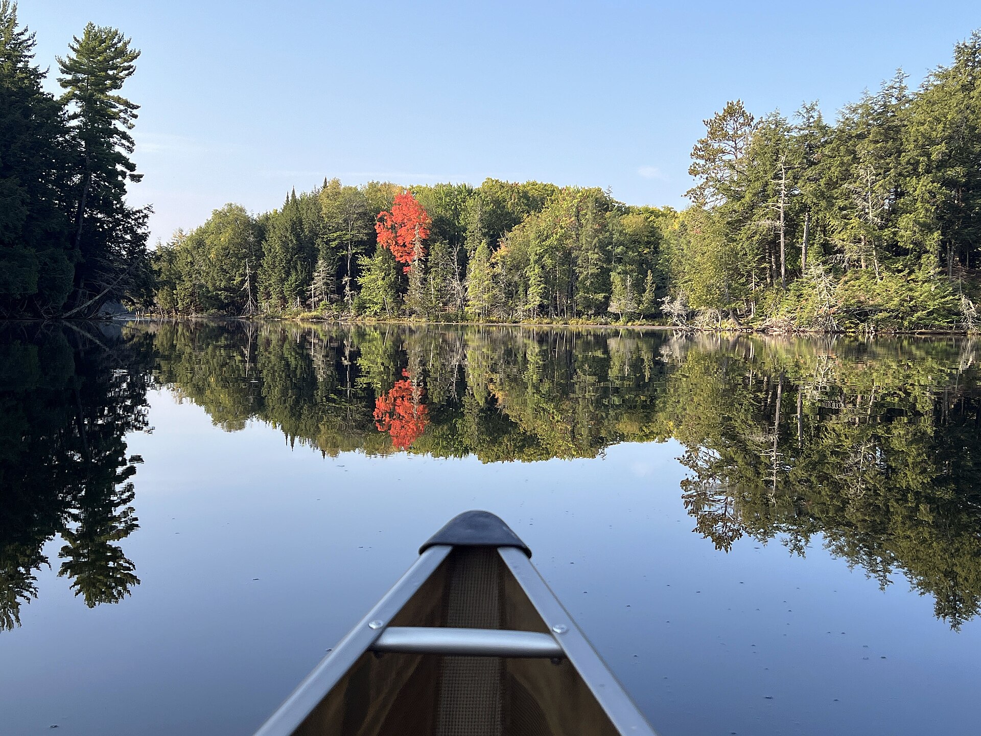
Fig. 1Fall maple on Crooked Lake, Sylvania Wilderness
Landform
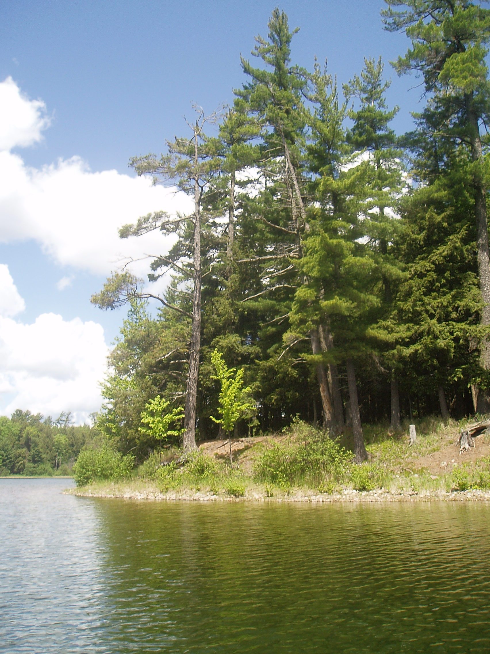
Old-growth pine and maple around thirty-four lakes west of Watersmeet
Field note
Sylvania Wilderness is 18,327 acres in the Ottawa National Forest, a few miles west of Watersmeet. Thirty-four lakes sit in old-growth pine and maple. Crooked Lake and Clark Lake are named water. McCormick is the other Ottawa wilderness. Pictured Rocks and the Porkies keep their own plates. This plate is Sylvania, not the Boundary Waters.
Sylvania is the Ottawa wilderness west of Watersmeet, old woods and canoe lakes. This plate is that tract, not McCormick and not Pictured Rocks.