Landform
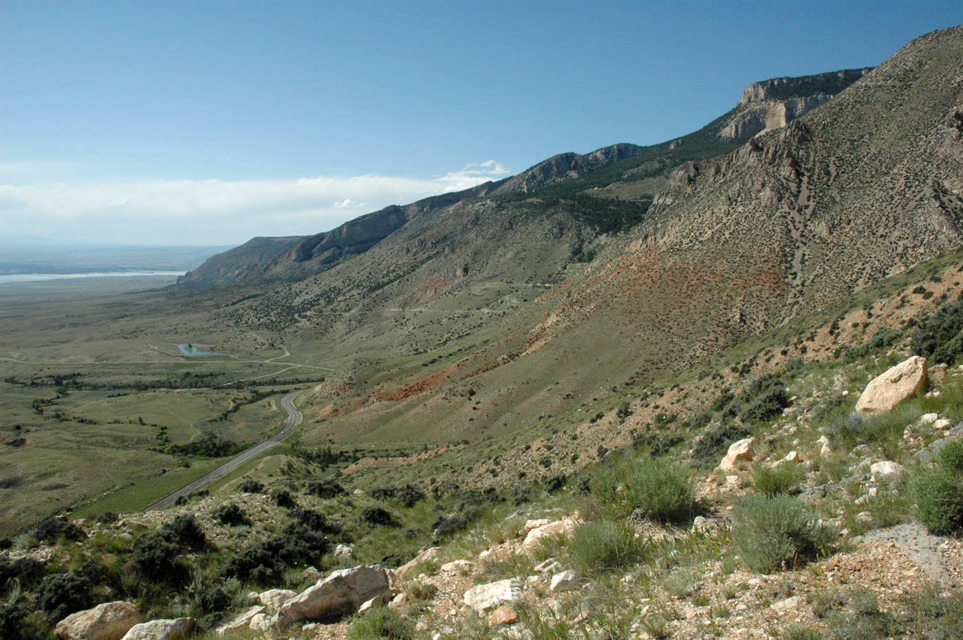
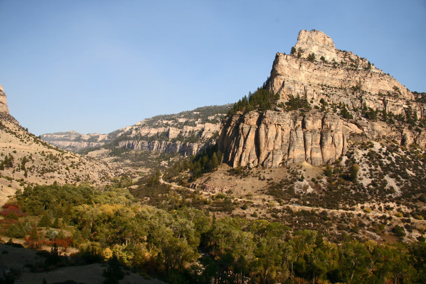
The long drop from the Bighorn high country into the Bighorn Basin.
Field note
The road falls a long way. The basin opens like a floor. This is the passage, not the wheel on the ridge above.
The Field Atlas
0/363Canyon chapter · 44.80° N · 107.94° W
The long drop from the Bighorn high country into the Bighorn Basin.
The road falls a long way. The basin opens like a floor. This is the passage, not the wheel on the ridge above.
A private leaf
Instant paper, this copy only. Write on the white — a line the walk still owes you.
0 / 24
Opening the leaf…
Onward
The nearest plates, by the miles.
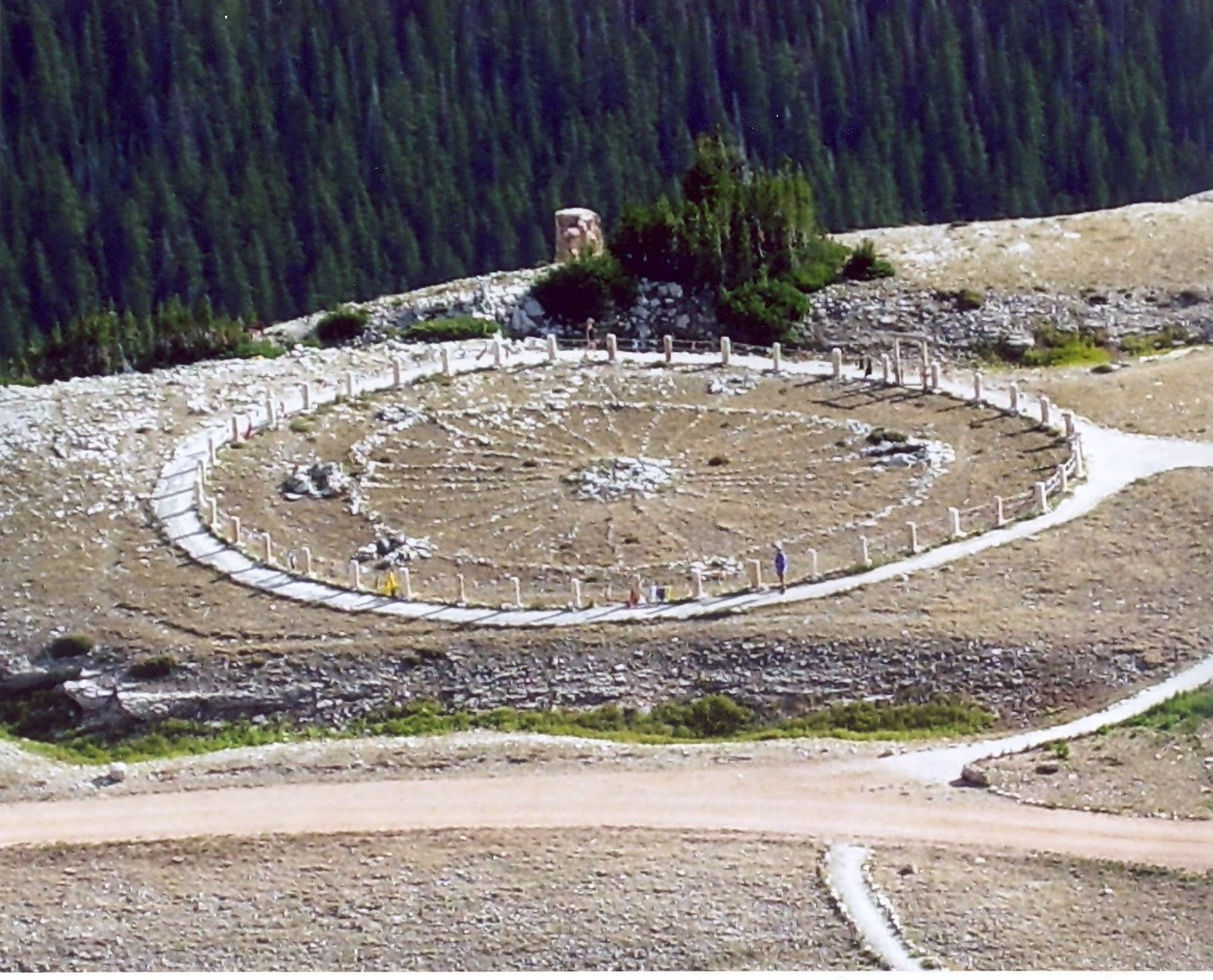 Medicine Wheel2 miles · WyomingCLXX
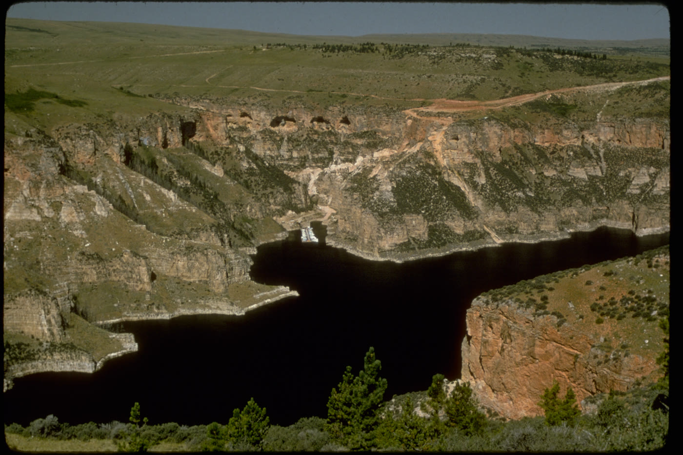 Bighorn Canyon21 miles · Wyoming / MontanaCLX
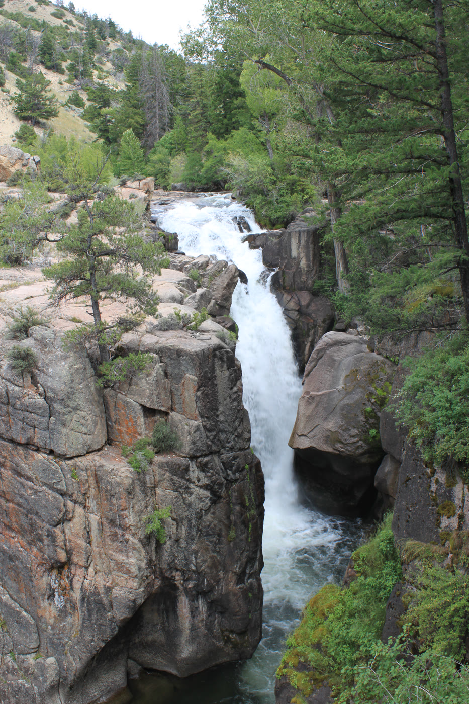 Shell Falls21 miles · WyomingCLIX
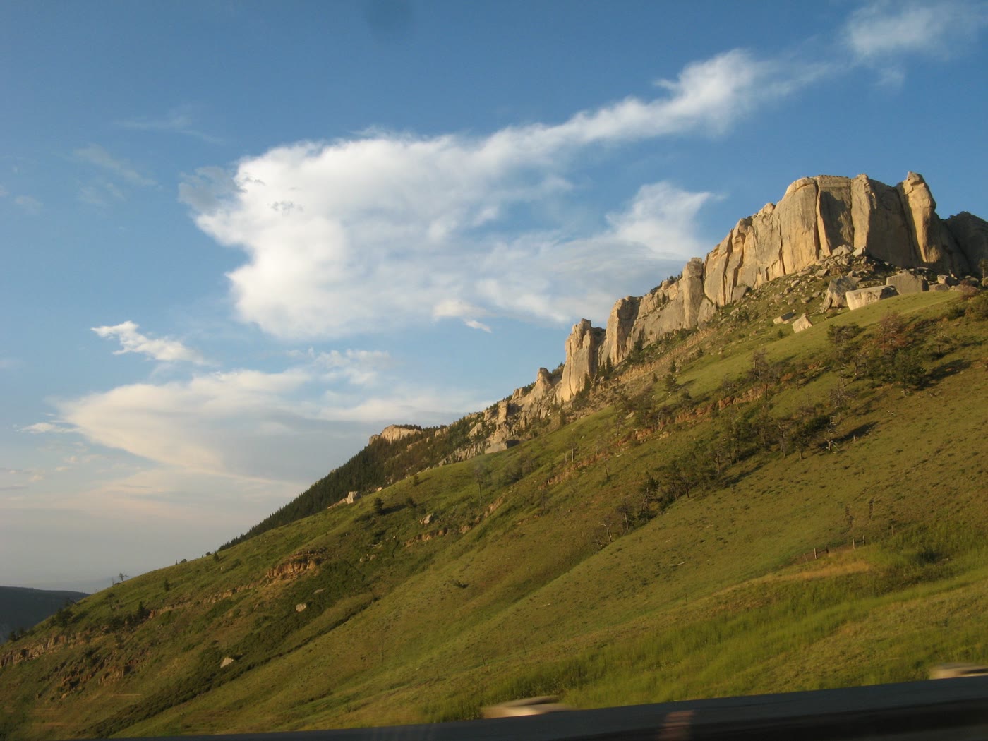 Steamboat Point28 miles · WyomingCLXXIII
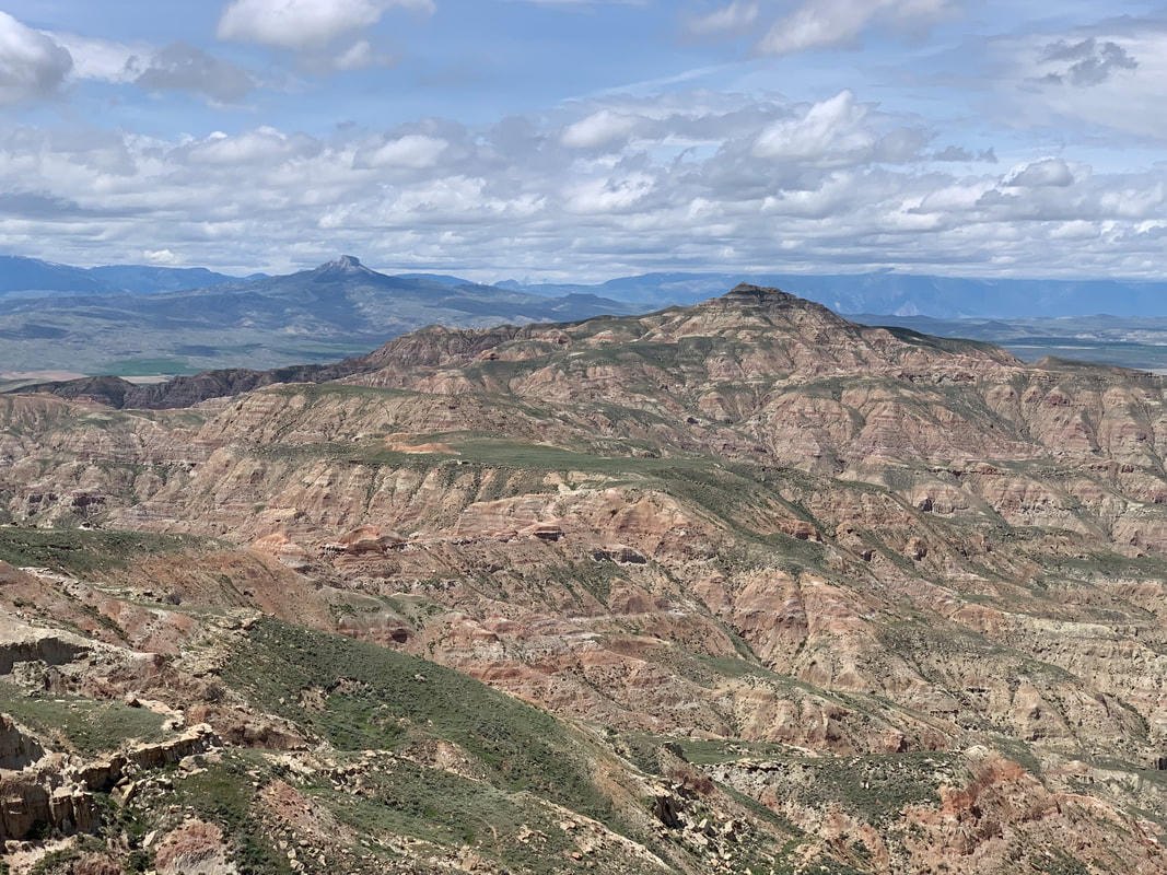 McCullough Peaks47 miles · WyomingXCV
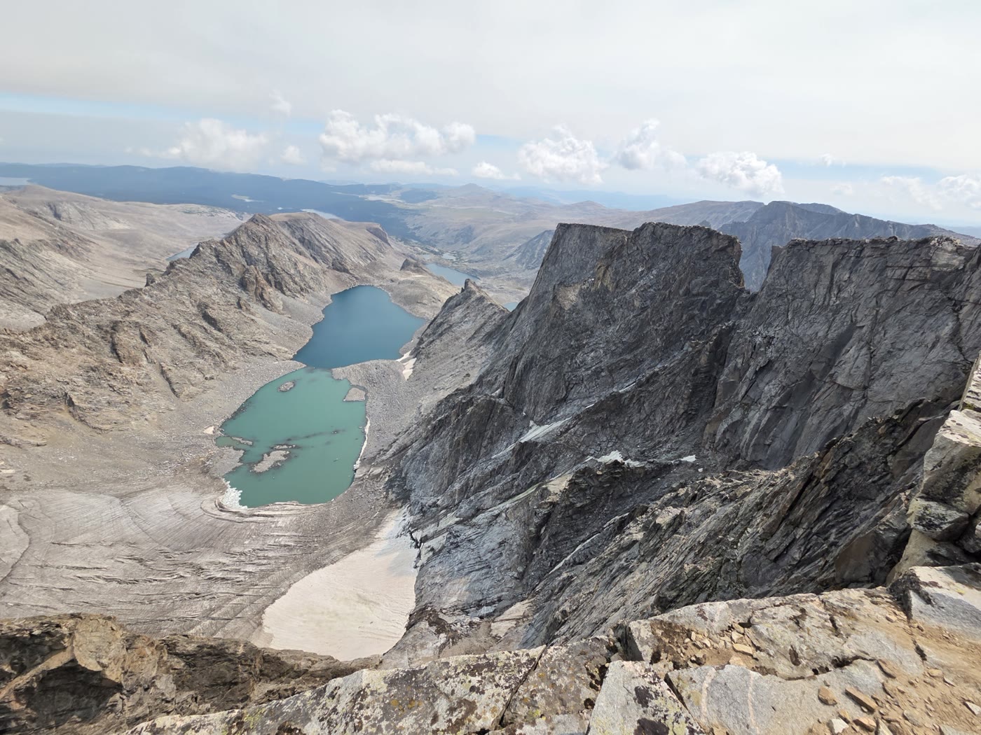 Cloud Peak48 miles · WyomingCLVIII
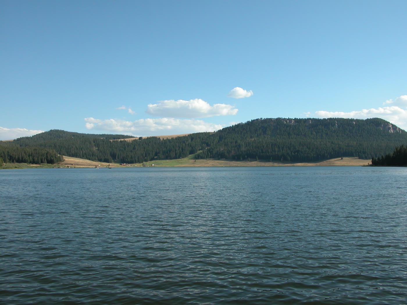 Meadowlark Lake56 miles · WyomingCLXXI
 Tensleep Canyon58 miles · WyomingCLXXII
Canyon chapter
Other US canyon plates. See all canyon destinations in the USA
Fold-out






