Landform
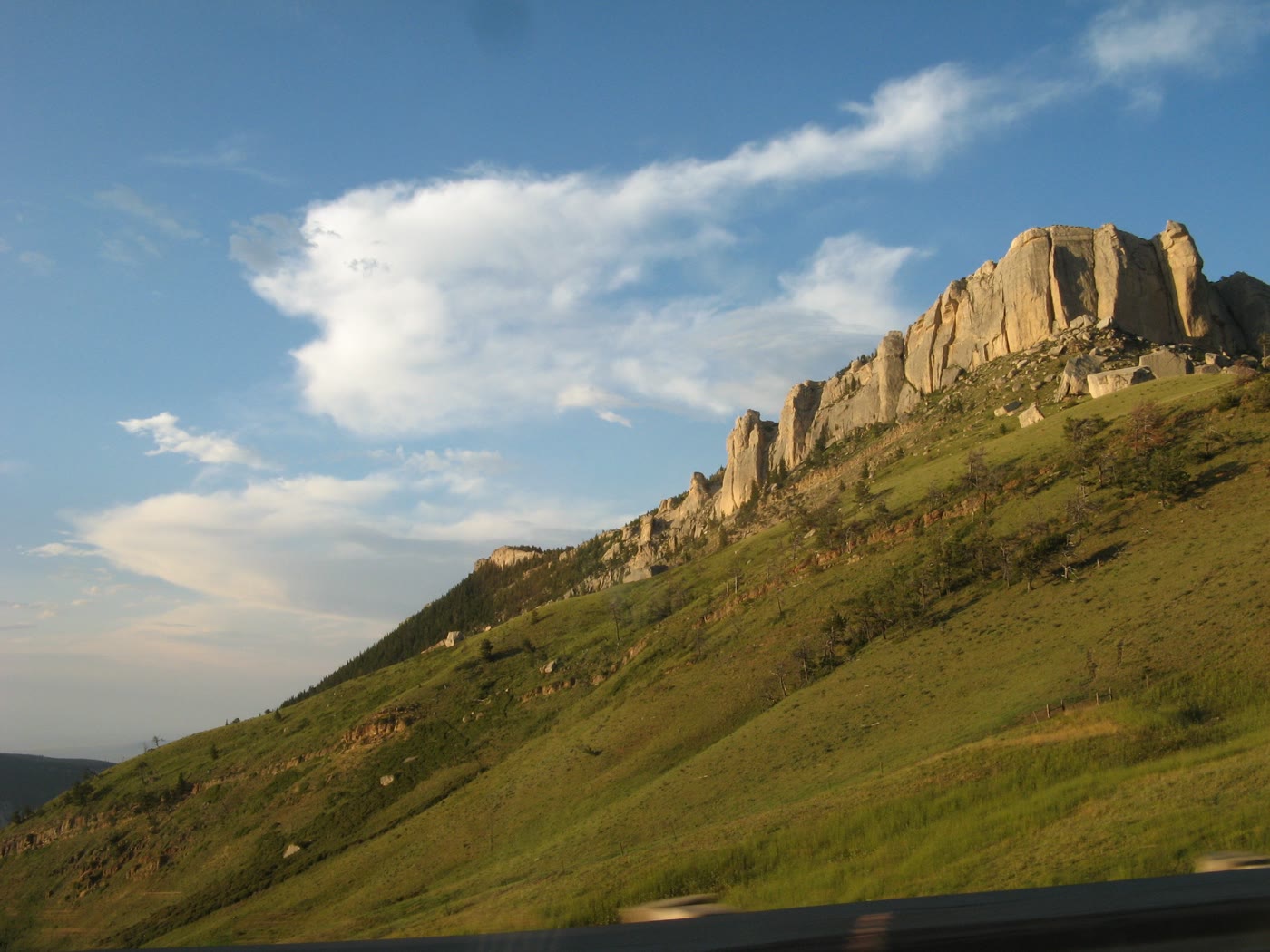
A ship-prow of dolomite above a steep grass slope on US-14.
Field note
The cliff takes the afternoon like a prow. US-14 does not stop long. The grass is the sea it pretends.
The Field Atlas
0/363Hills chapter · 44.81° N · 107.36° W
A ship-prow of dolomite above a steep grass slope on US-14.
The cliff takes the afternoon like a prow. US-14 does not stop long. The grass is the sea it pretends.
A private leaf
Instant paper, this copy only. Write on the white — a line the walk still owes you.
0 / 24
Opening the leaf…
Onward
The nearest plates, by the miles.
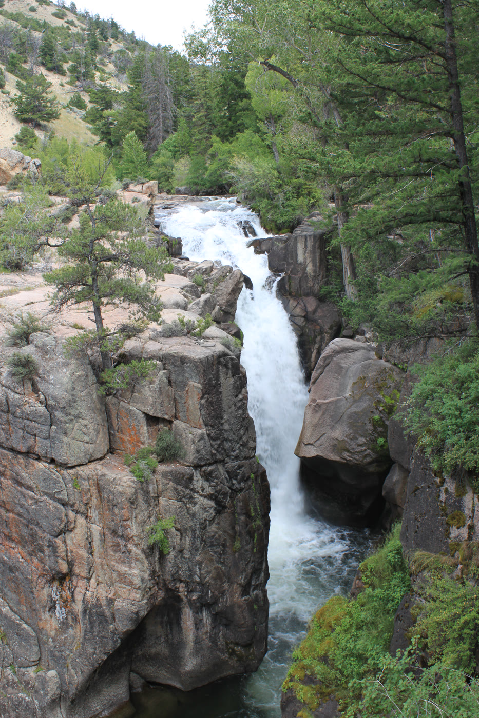 Shell Falls20 miles · WyomingCLIX
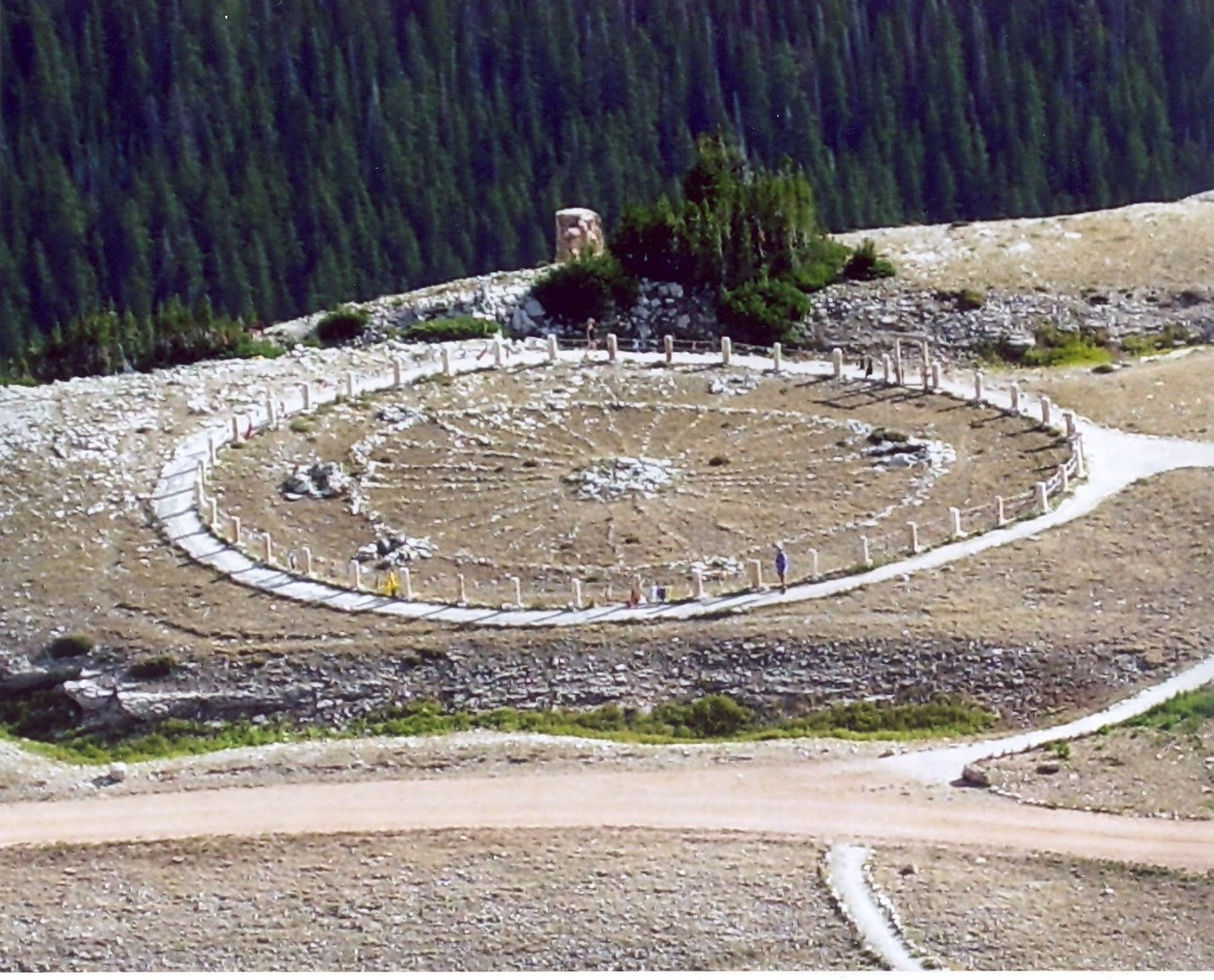 Medicine Wheel28 miles · WyomingCLXX
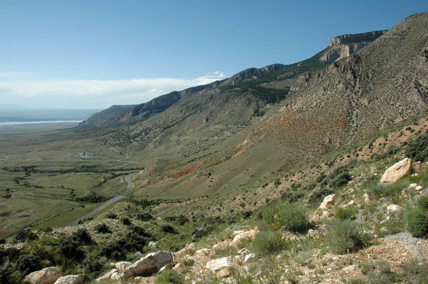 Medicine Wheel Passage28 miles · WyomingCLXXIV
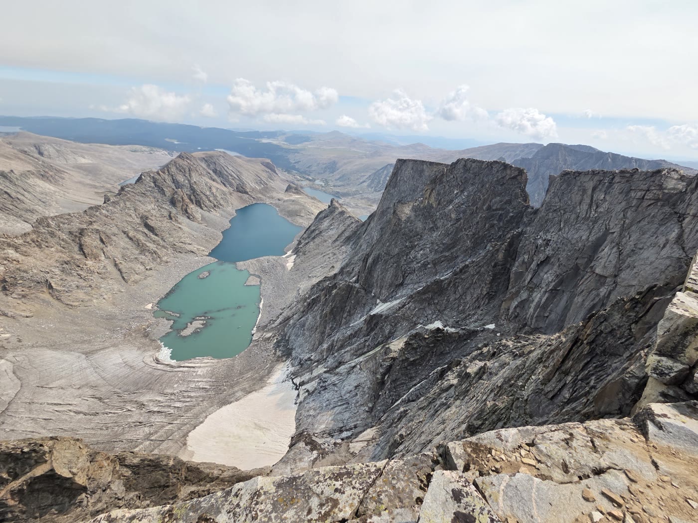 Cloud Peak31 miles · WyomingCLVIII
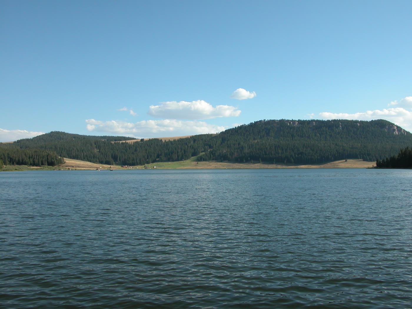 Meadowlark Lake45 miles · WyomingCLXXI
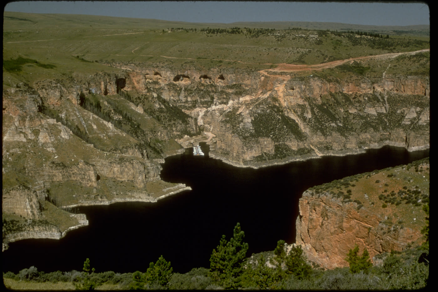 Bighorn Canyon46 miles · Wyoming / MontanaCLX
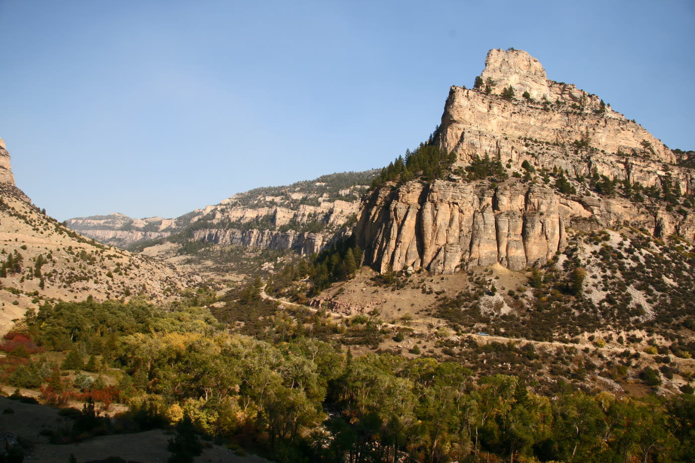 Tensleep Canyon50 miles · WyomingCLXXII
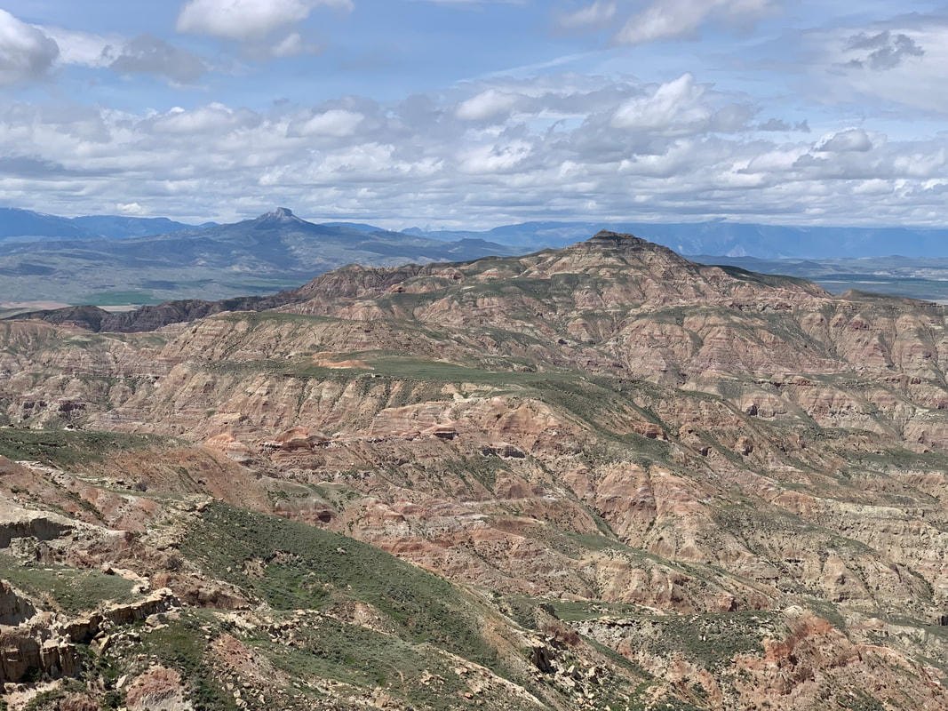 McCullough Peaks75 miles · WyomingXCV
Fold-out