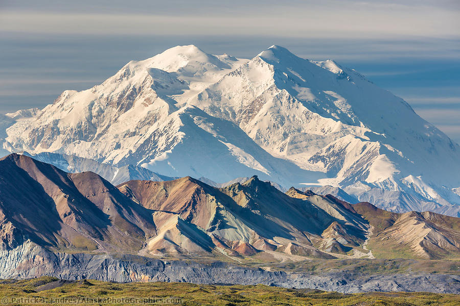
![High Alpine Tundra in Noatak National Preserve [1]](https://upload.wikimedia.org/wikipedia/commons/2/26/High_Alpine_Tundra_Noatak_National_Preserve.jpg)

Fig. 1
High Alpine Tundra in Noatak National Preserve [1]
Landform
One of the largest undeveloped river basins in the United States: Arctic tundra and the Grand Canyon of the Noatak.
Field note
The National Park Service administers Noatak National Preserve, one of the largest undeveloped river basins in the United States. The Noatak runs from the Brooks Range toward Kotzebue Sound, with a canyon stretch called the Grand Canyon of the Noatak. There is no road in. Gates of the Arctic is the park to the east.