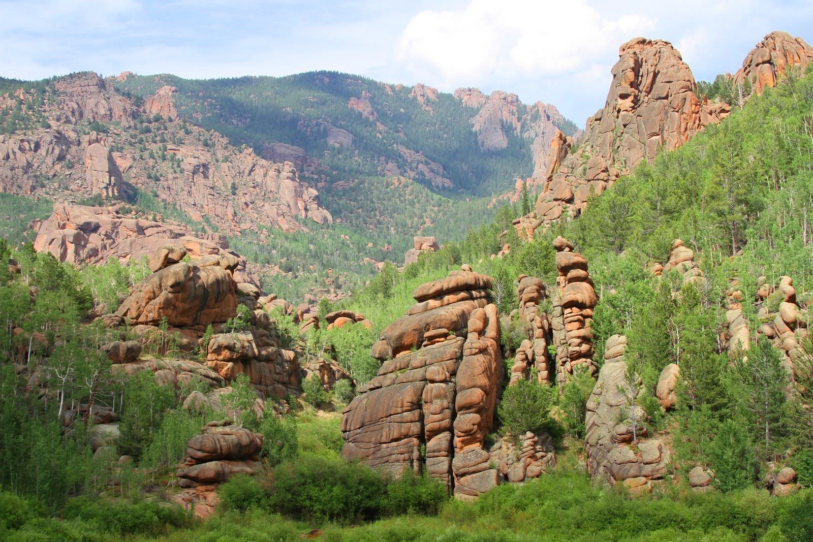
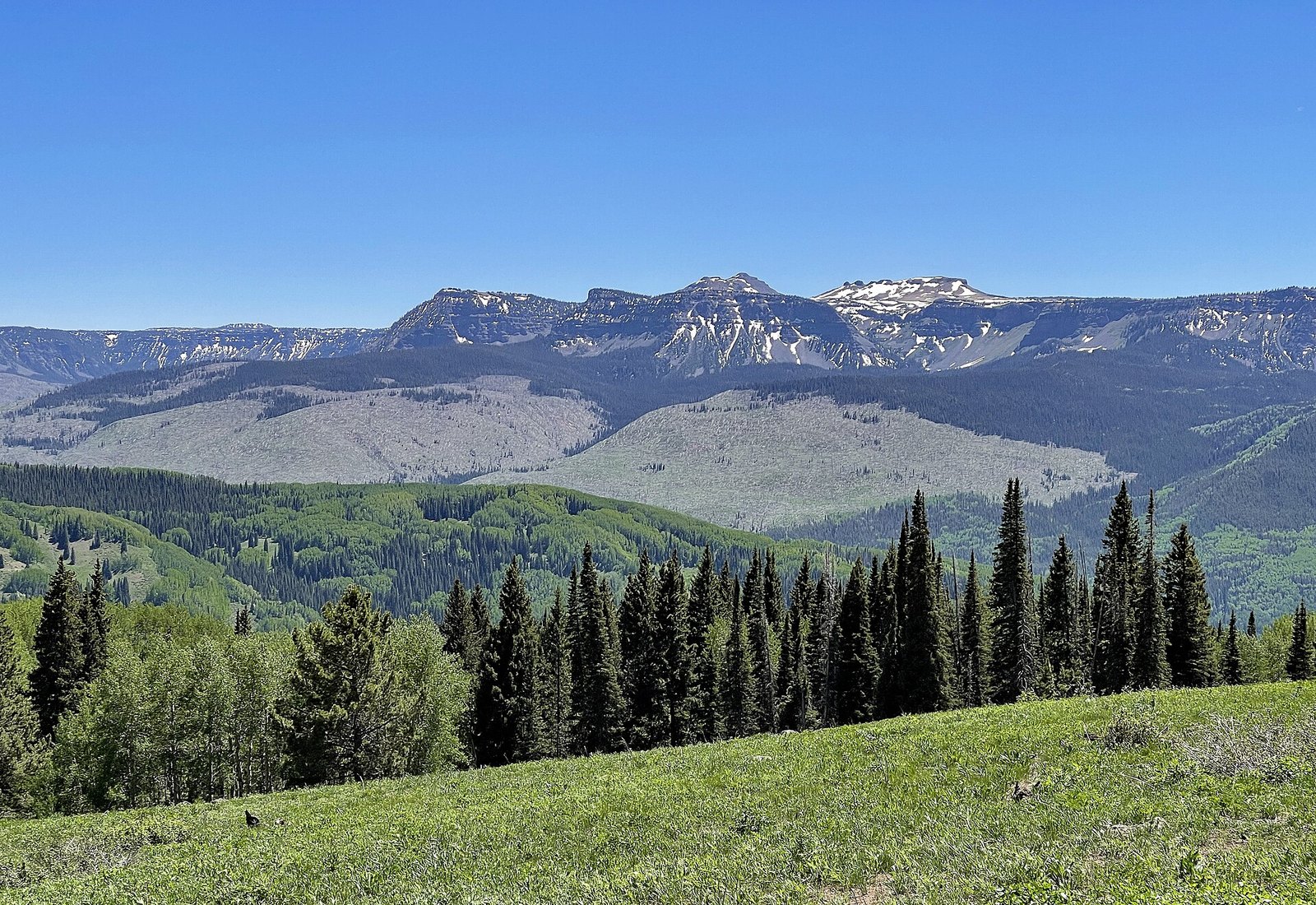
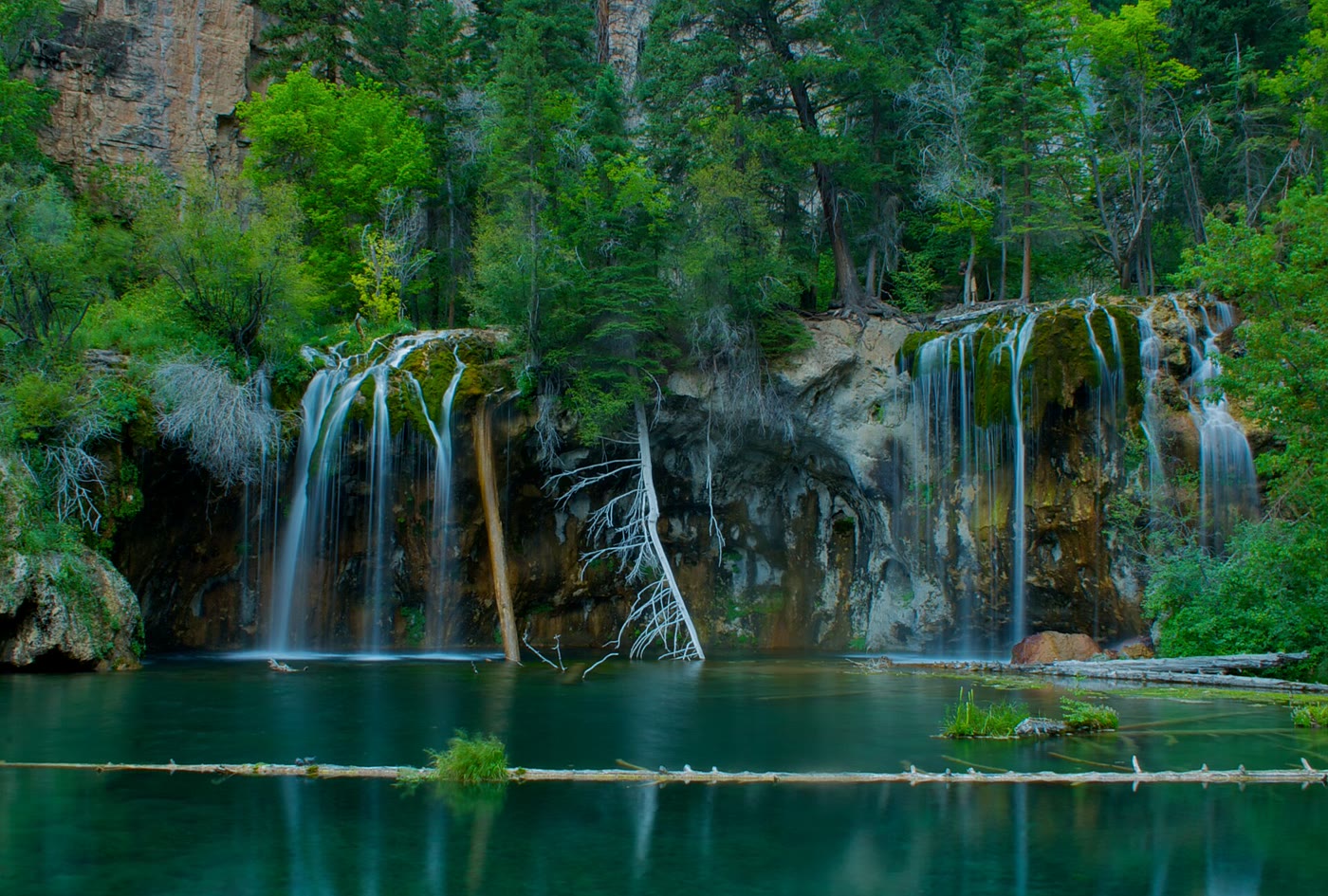
Fig. 1
Alpine tundra along Trail Ridge Road, Colorado
Landform
The highest continuous paved road in the United States, crossing alpine tundra in Rocky Mountain National Park between about 11,000 and 12,183 feet.
Field note
The National Park Service calls Trail Ridge Road the highest continuous paved road in the United States. It crosses Rocky Mountain National Park, with a high point of 12,183 feet, and long stretches of alpine tundra above treeline. Forest Canyon and Rock Cut are the overlooks. The park itself — Bear Lake, Glacier Gorge, Longs Peak — is a separate plate. The road closes under snow.