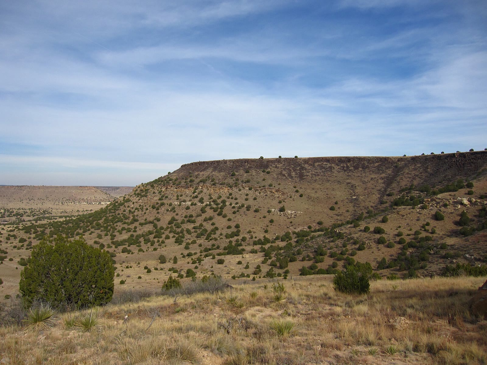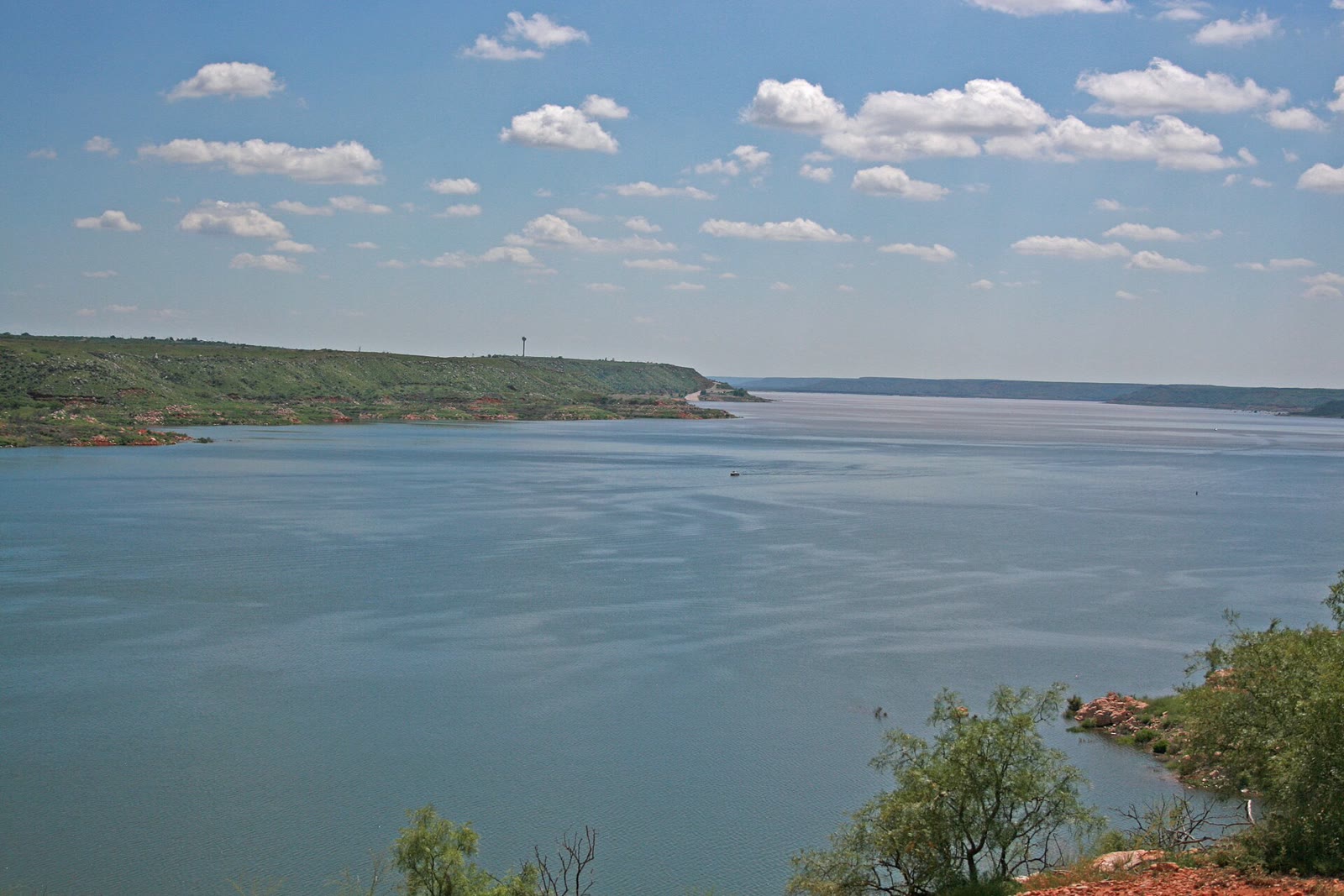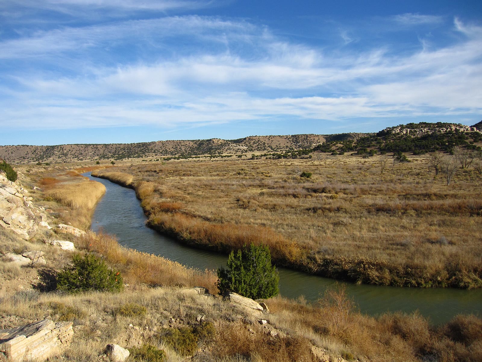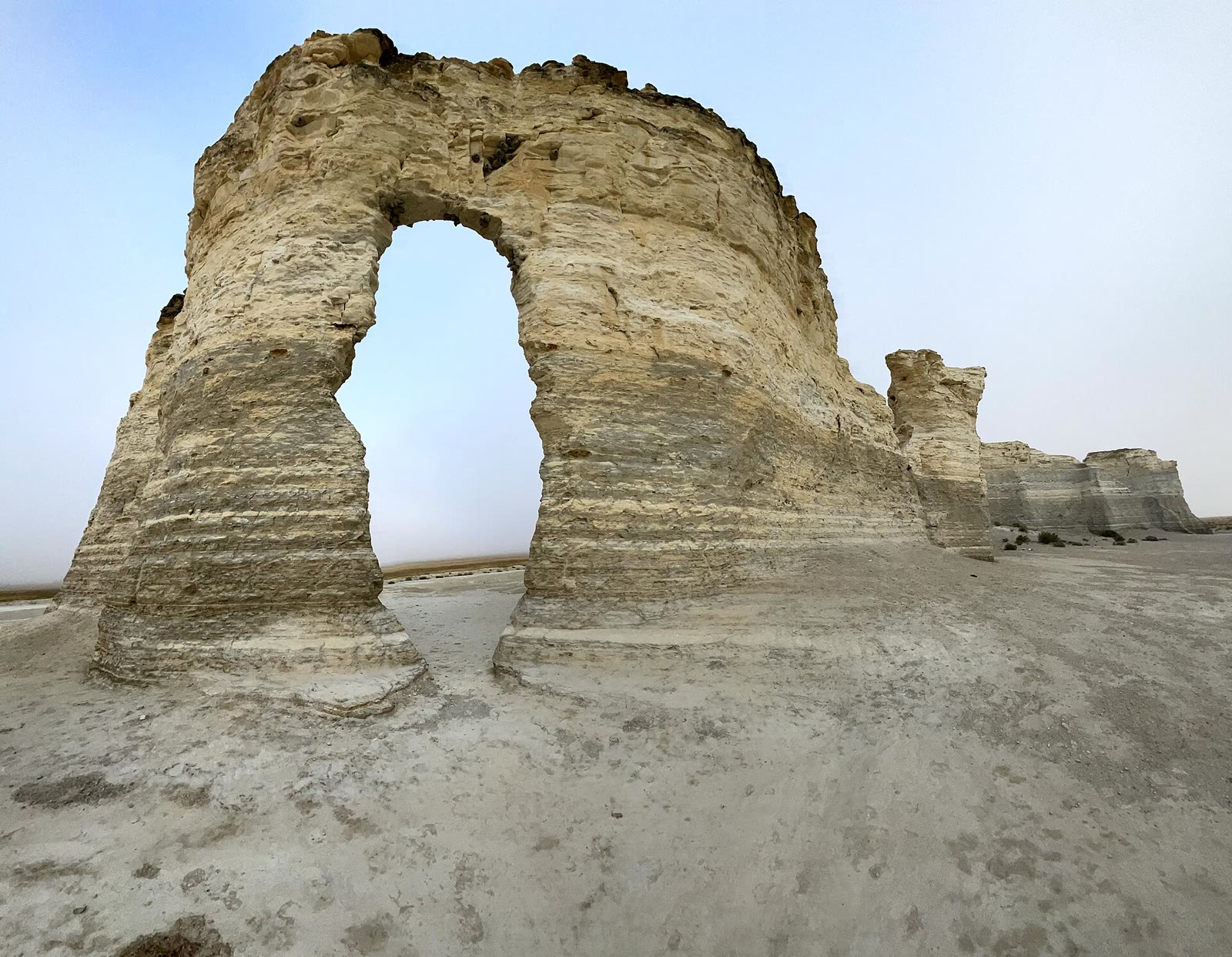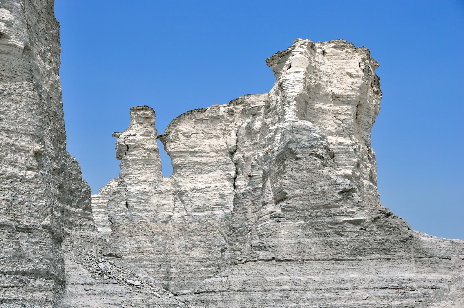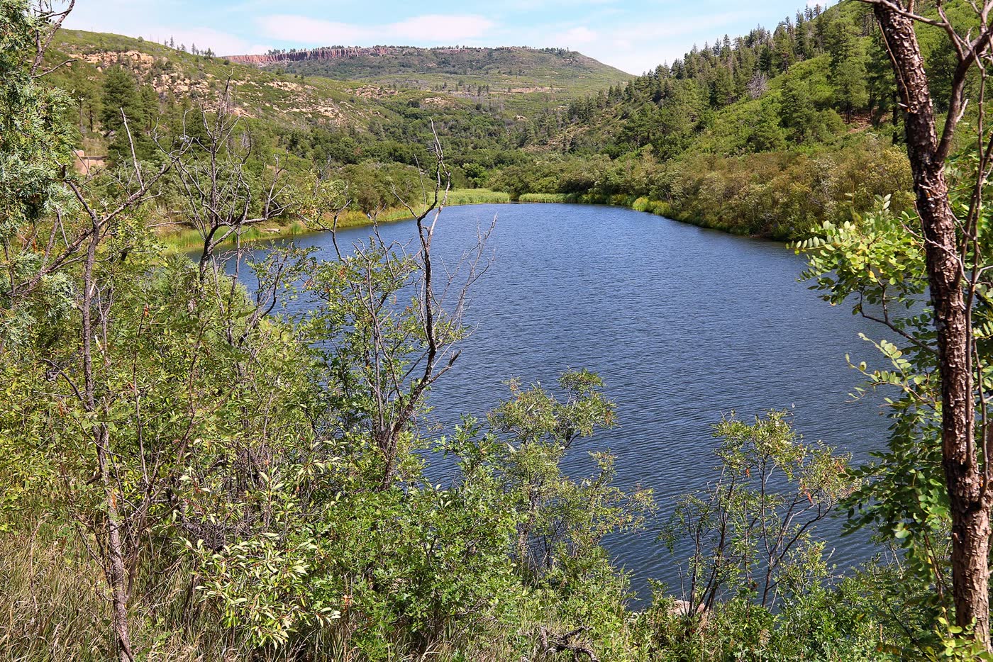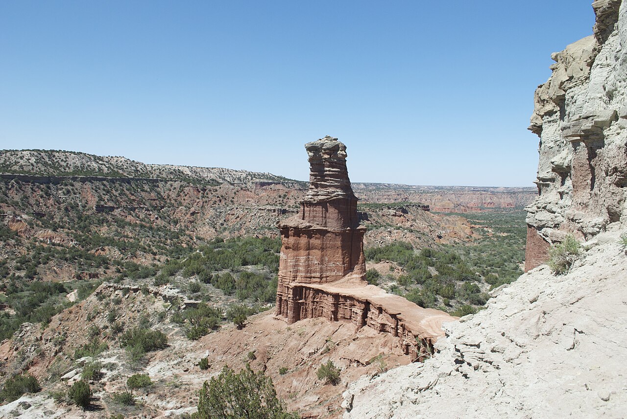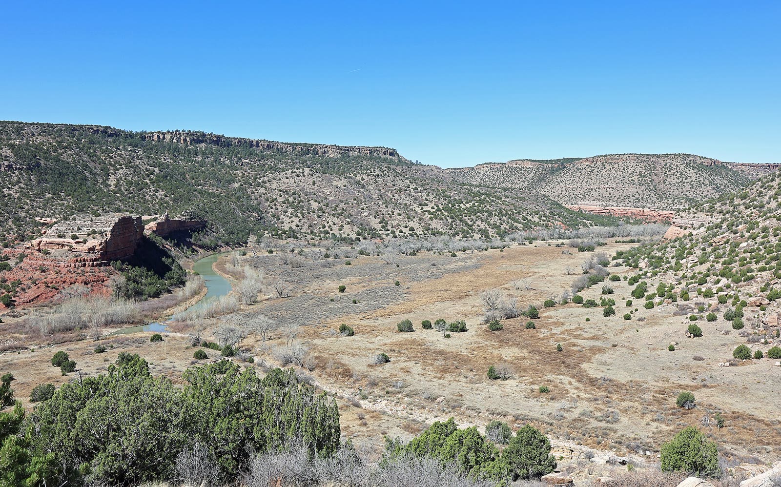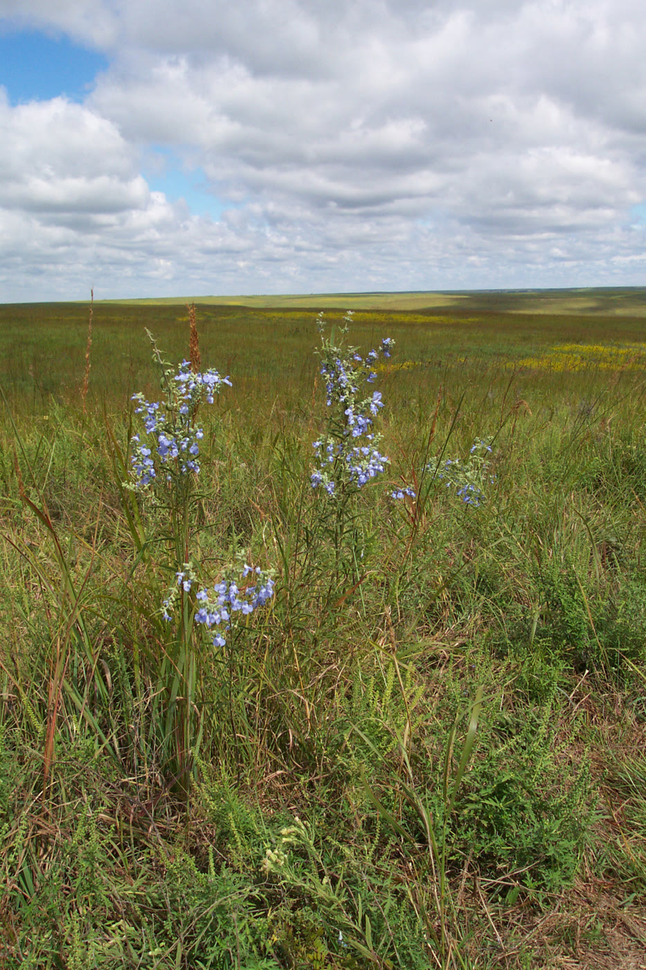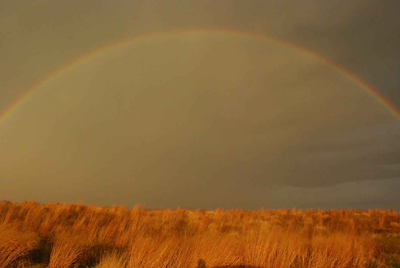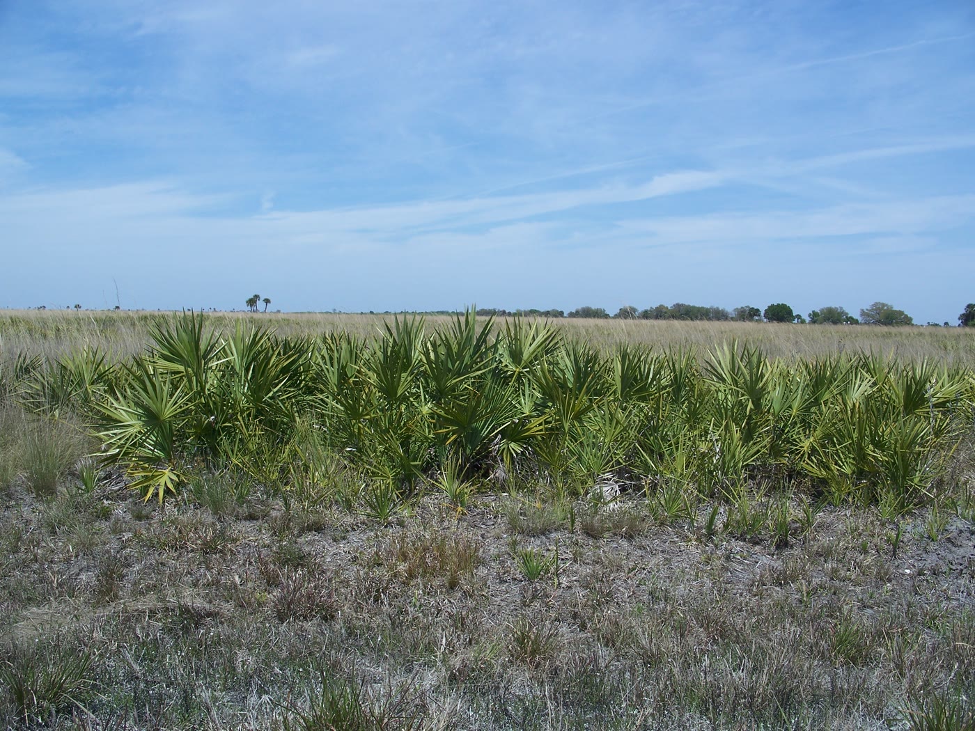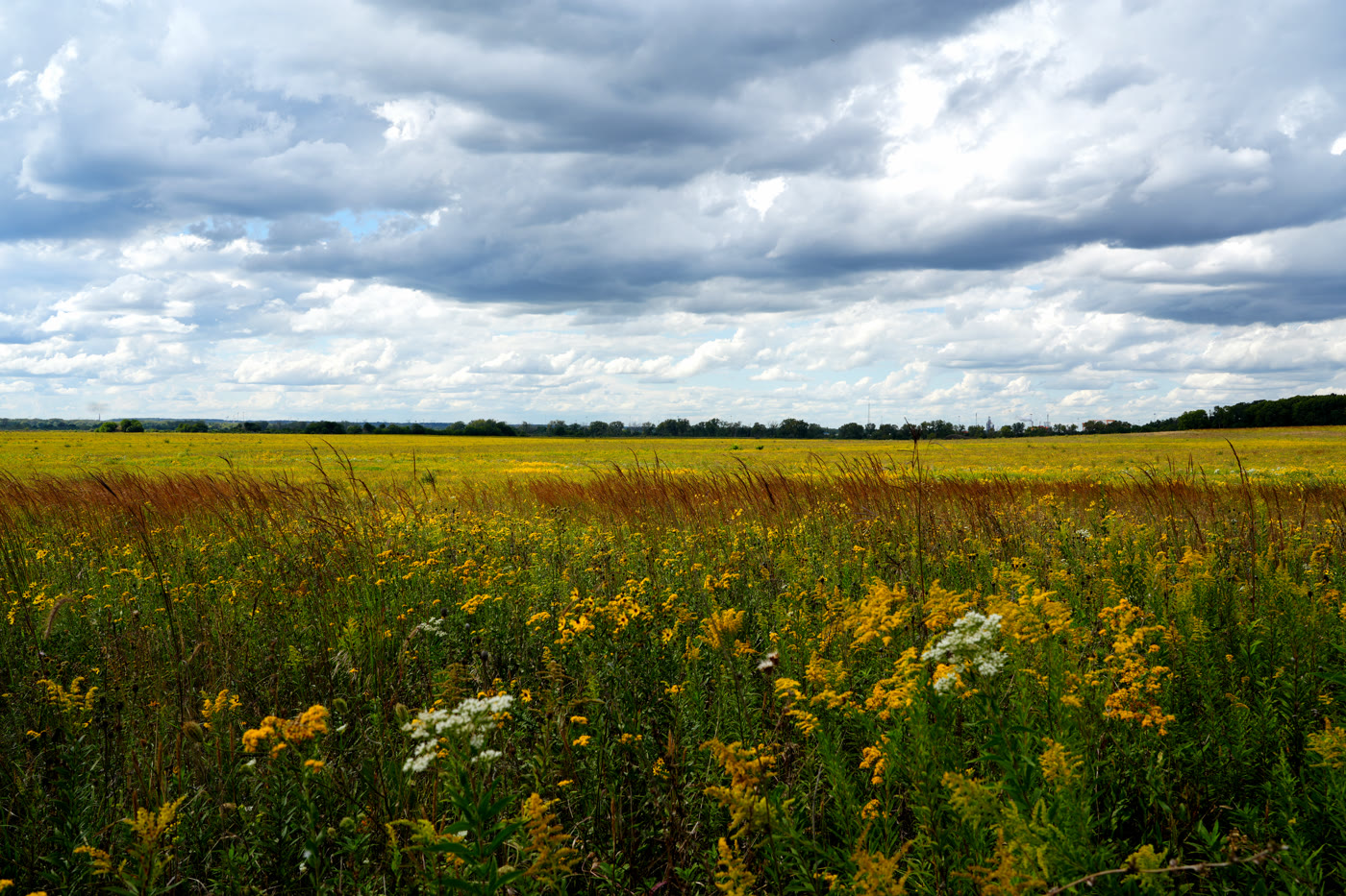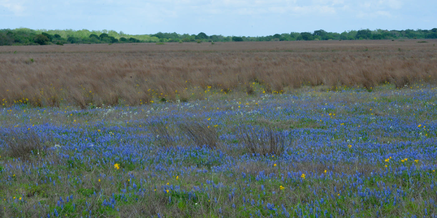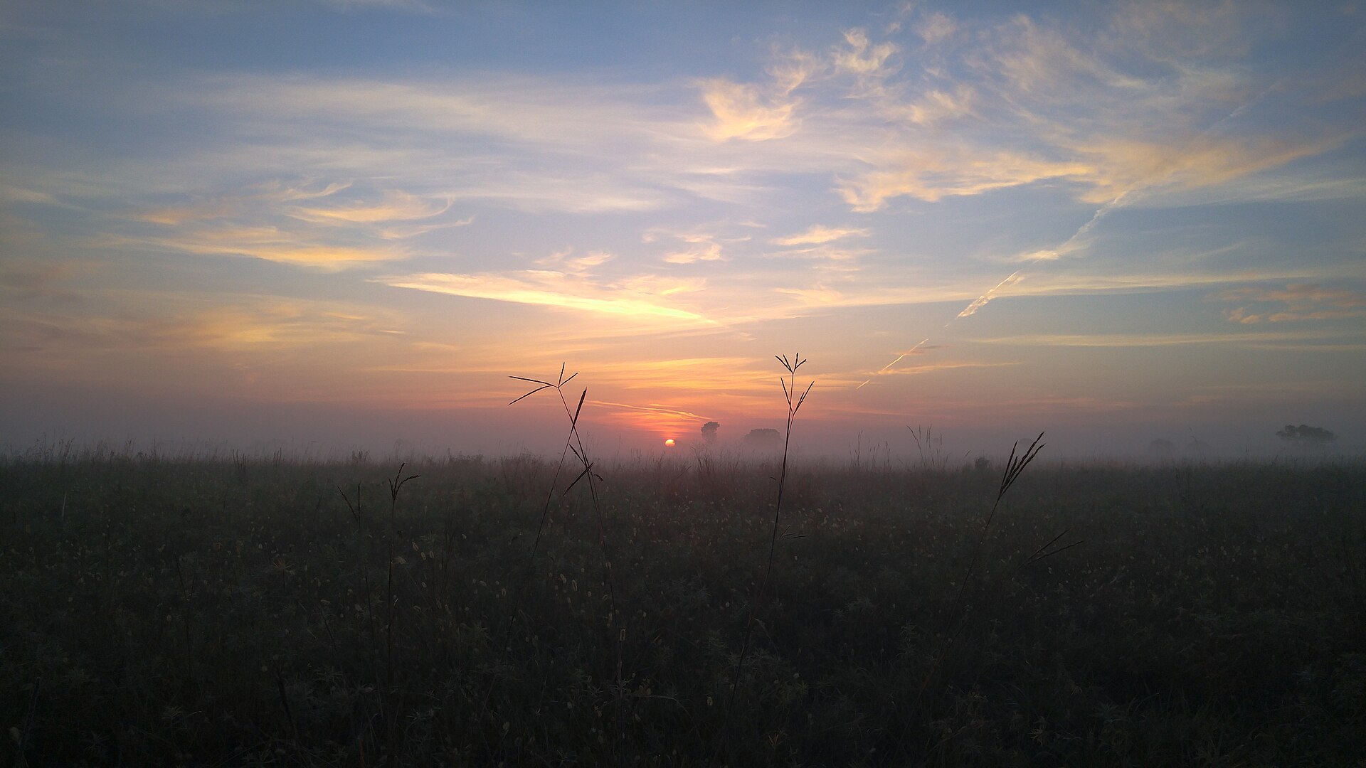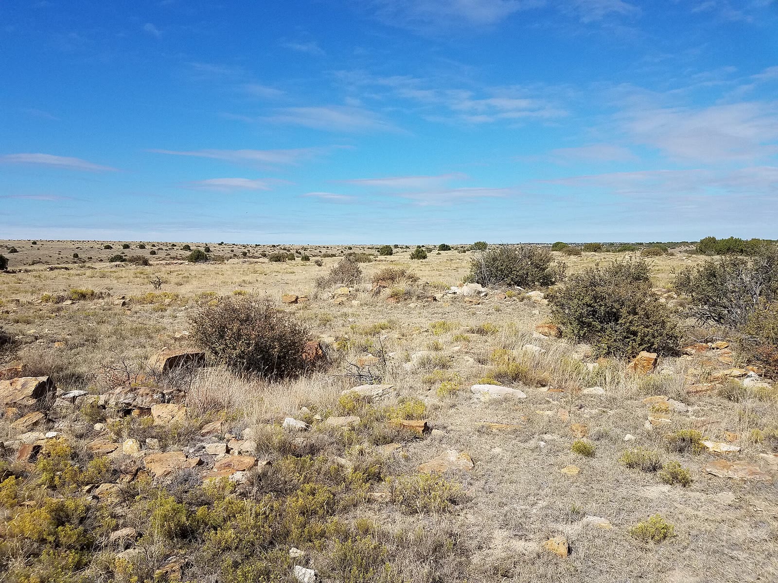
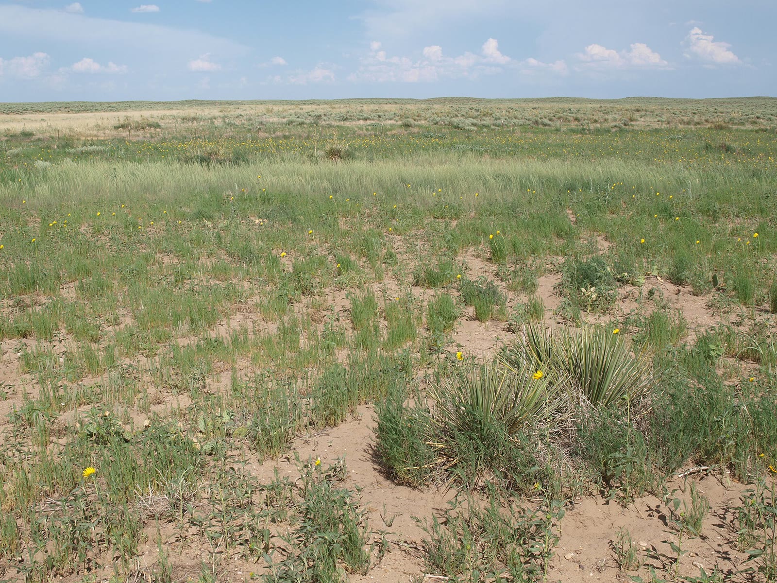
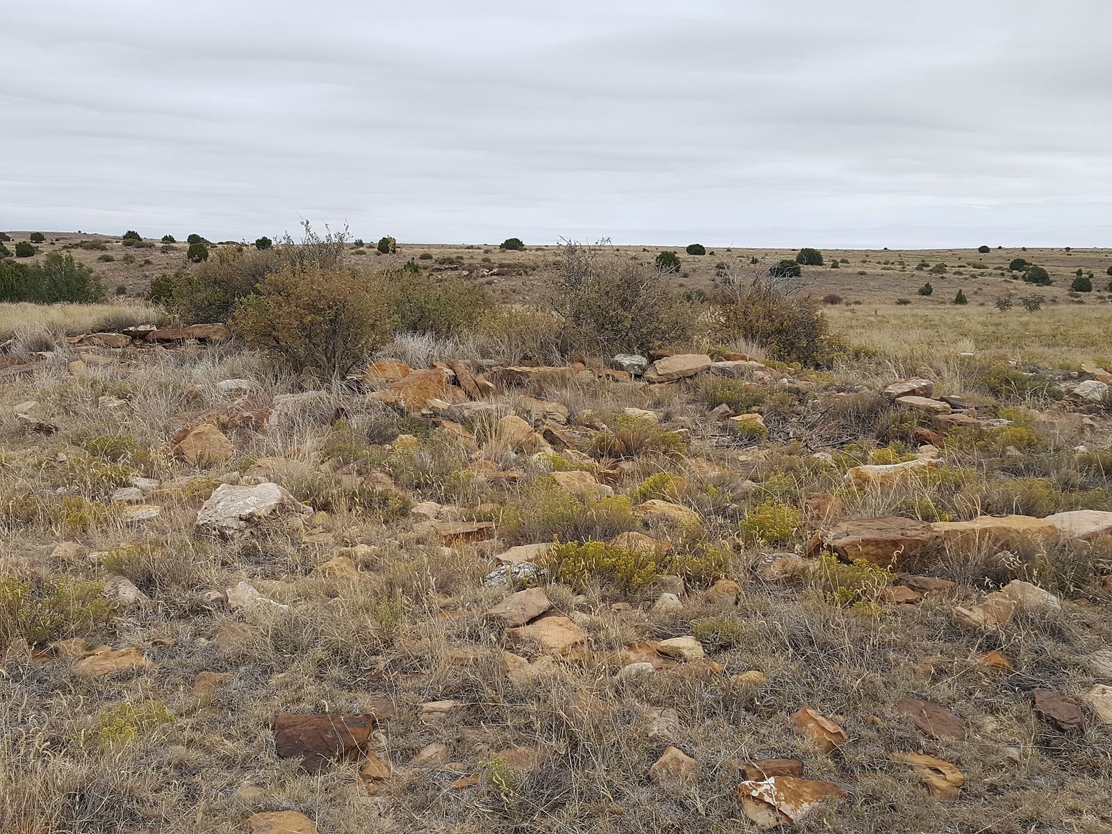
Fig. 1Rocky shortgrass under a Kansas sky, Cimarron National Grassland
Photo: National Trails Office ( US National Park Service ) · Public domain
Landform
Shortgrass and Point of Rocks on the Cimarron — yucca, a rocky prairie floor, and the old Santa Fe Trail ruts the Forest Service kept.
Field note
The horizon stays empty. Point of Rocks is the named look. Elkhart is the nearest town. This plate is Cimarron National Grassland, not Little Jerusalem and not a wheat field.
Cimarron is Kansas shortgrass and Point of Rocks on the old Santa Fe Trail. Elkhart is the town. This plate is the national grassland, not Little Jerusalem and not a wheat field.