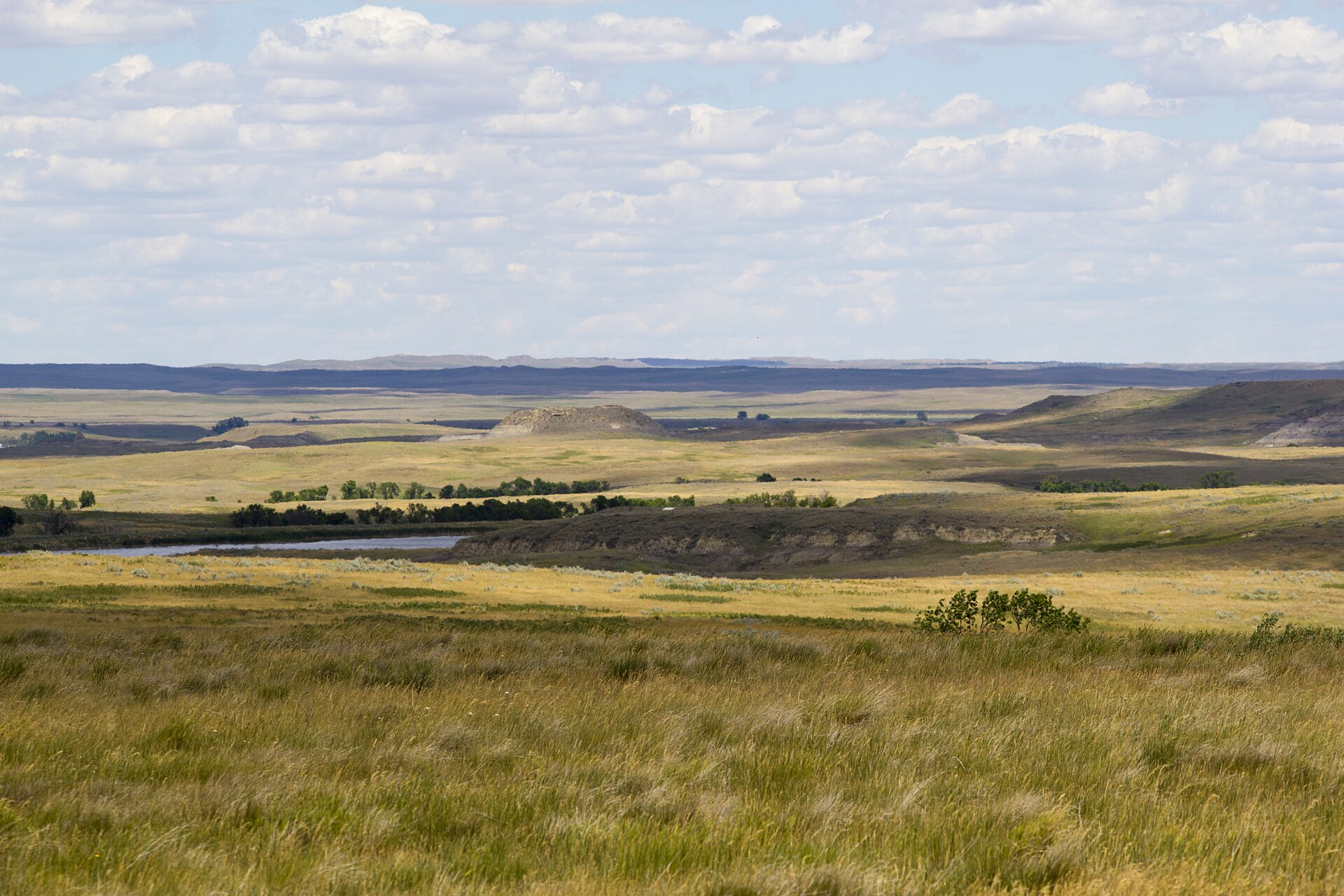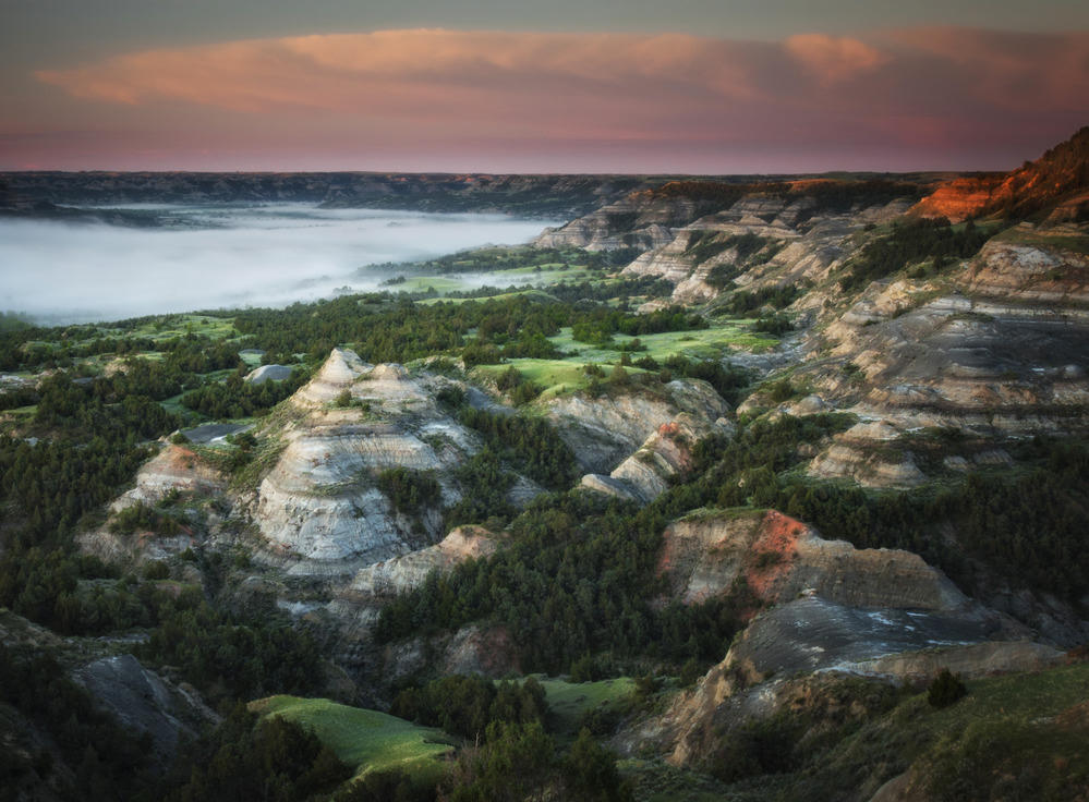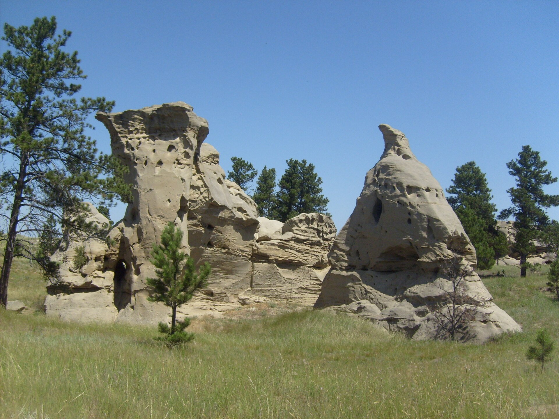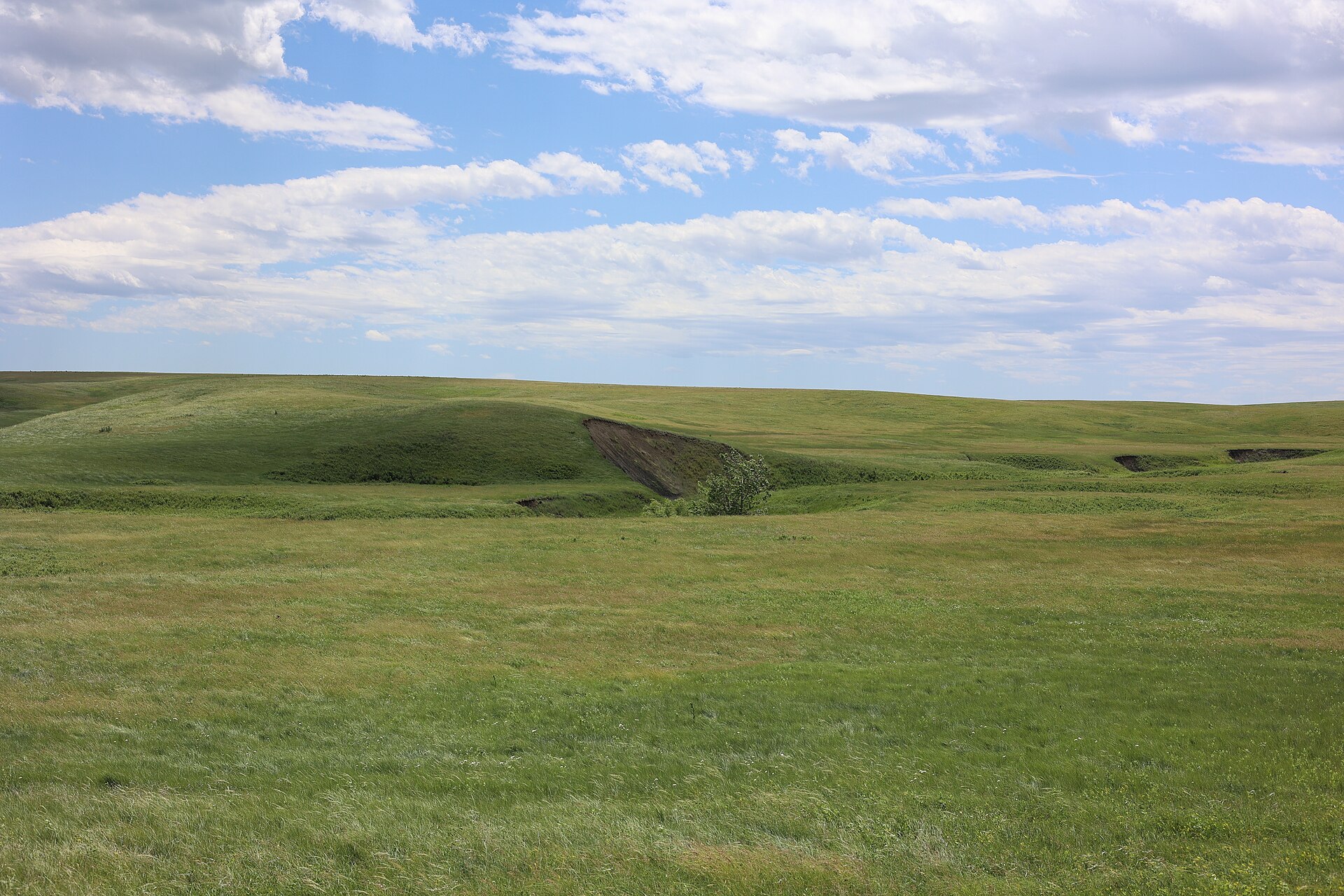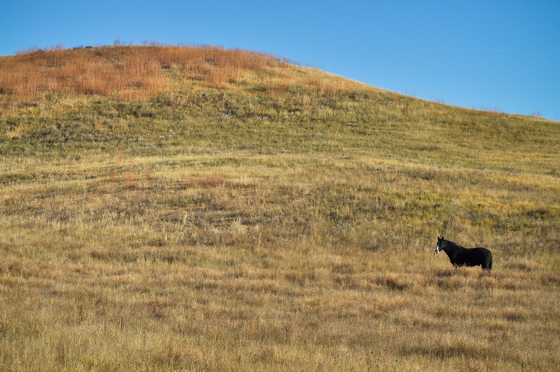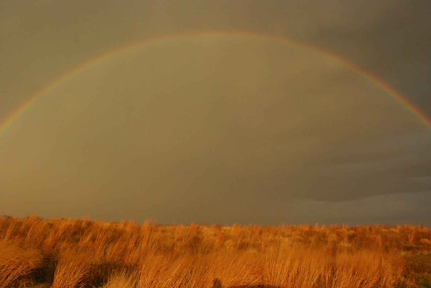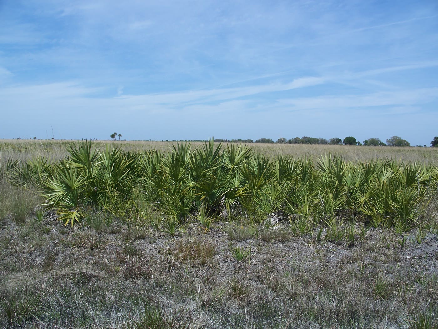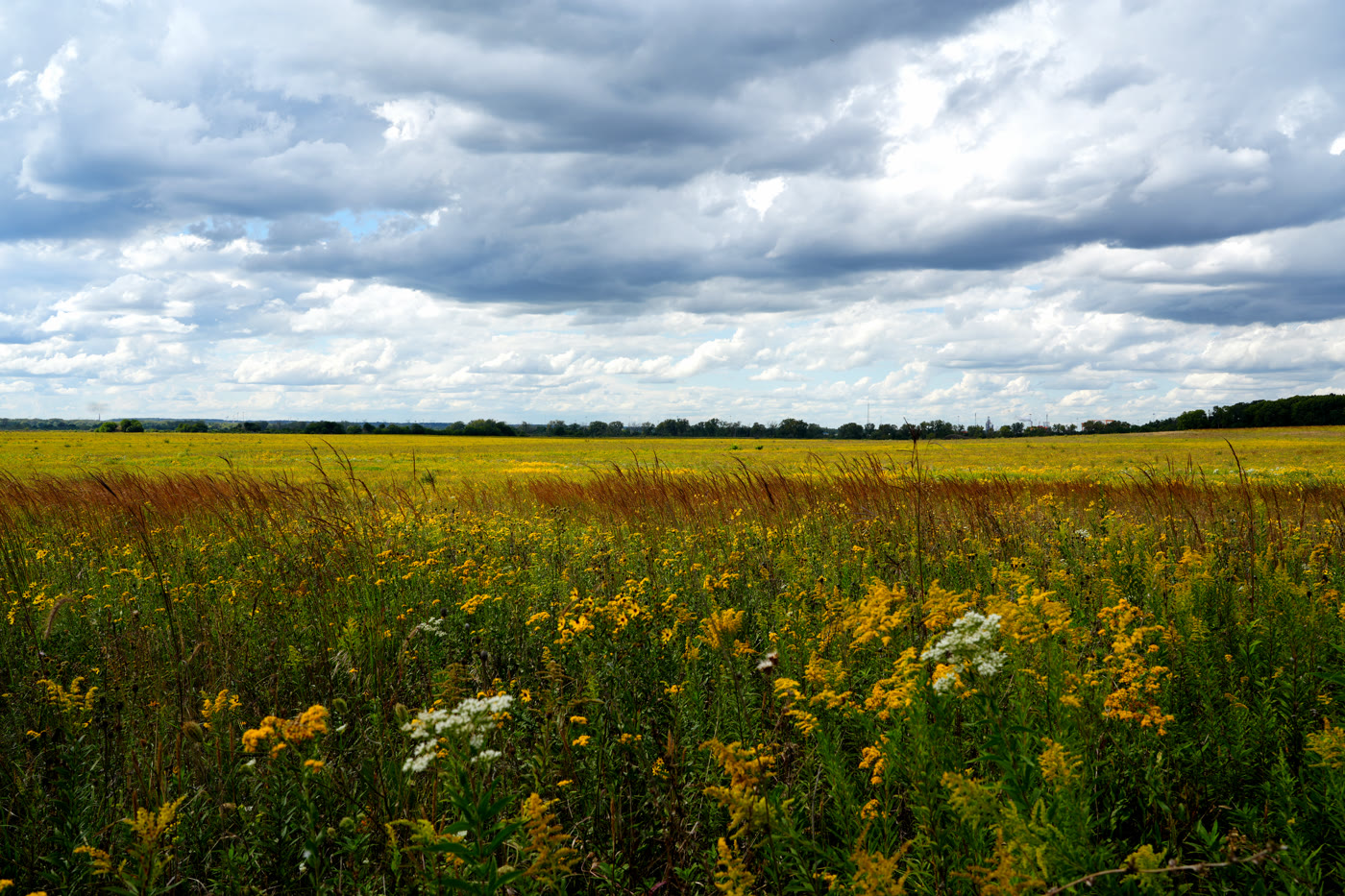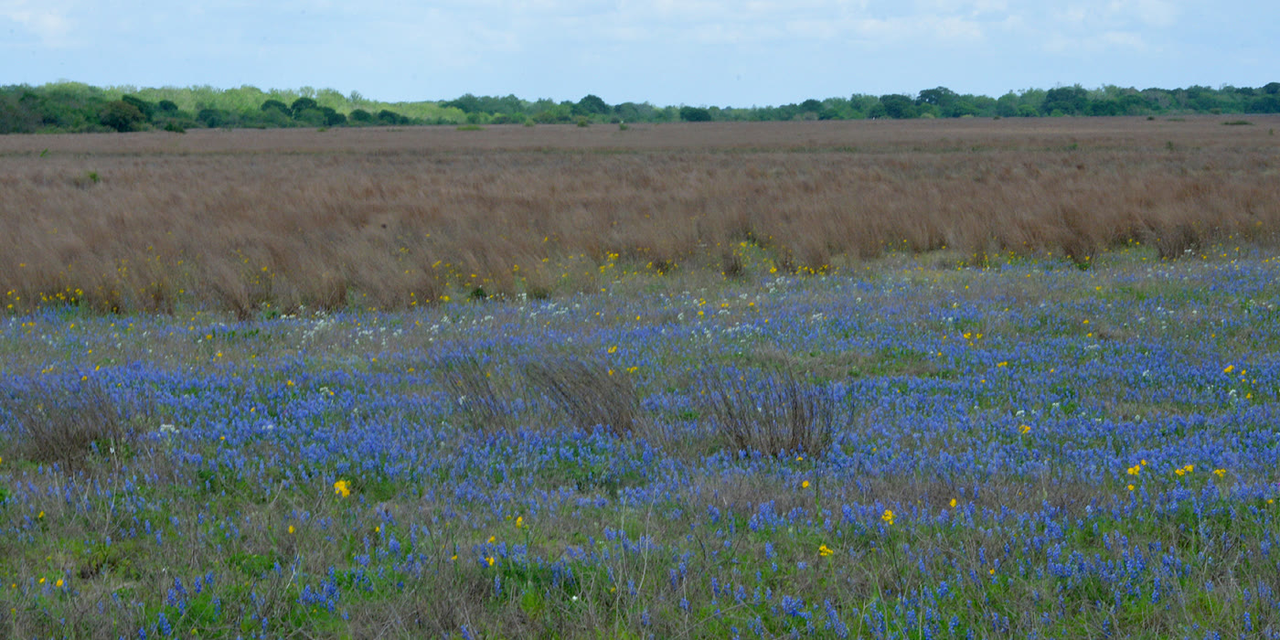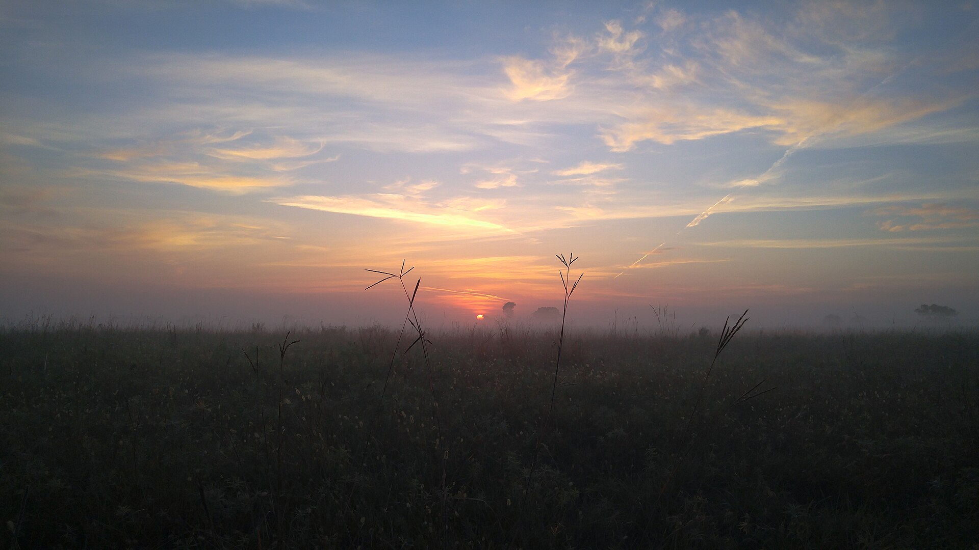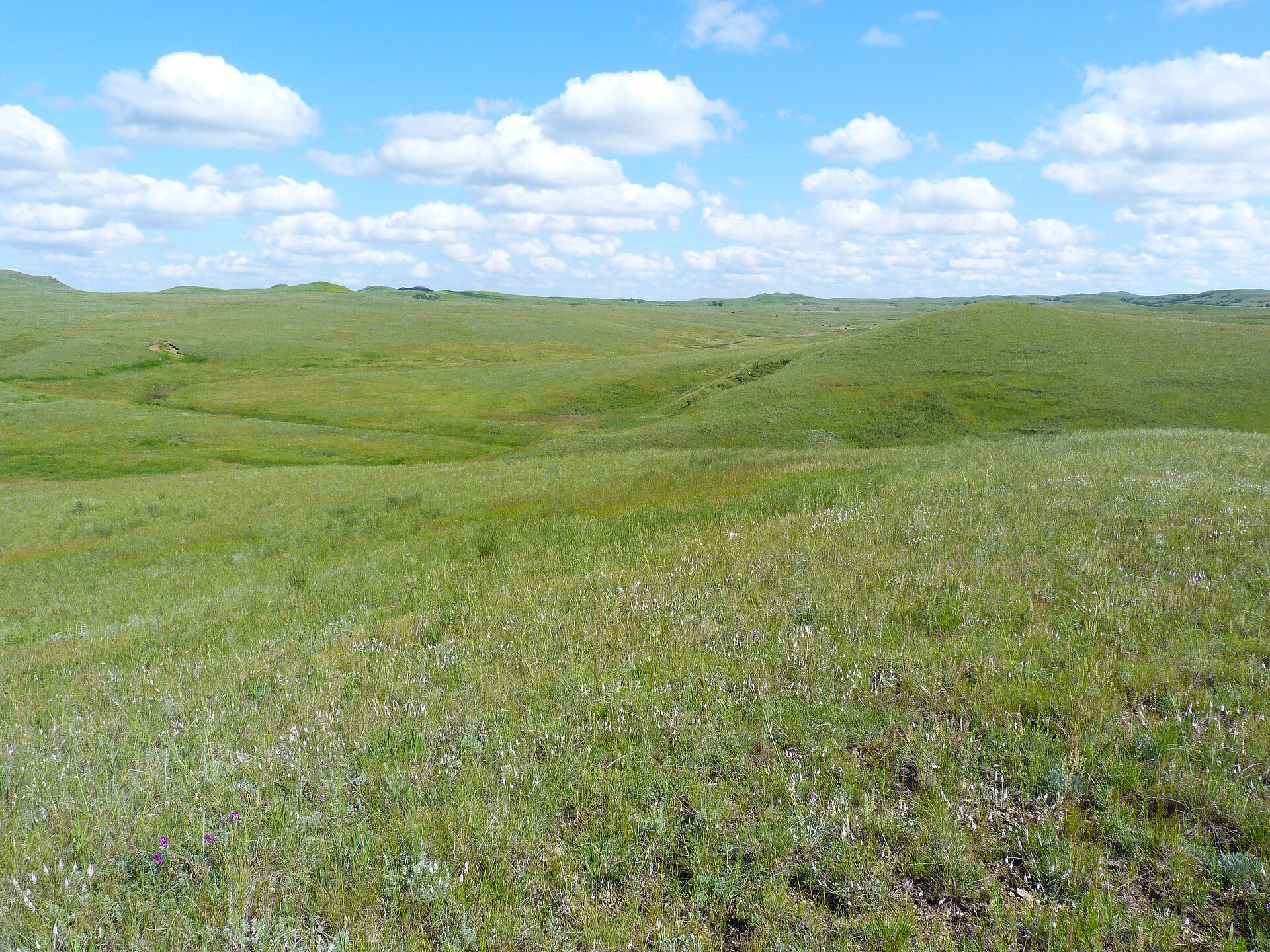
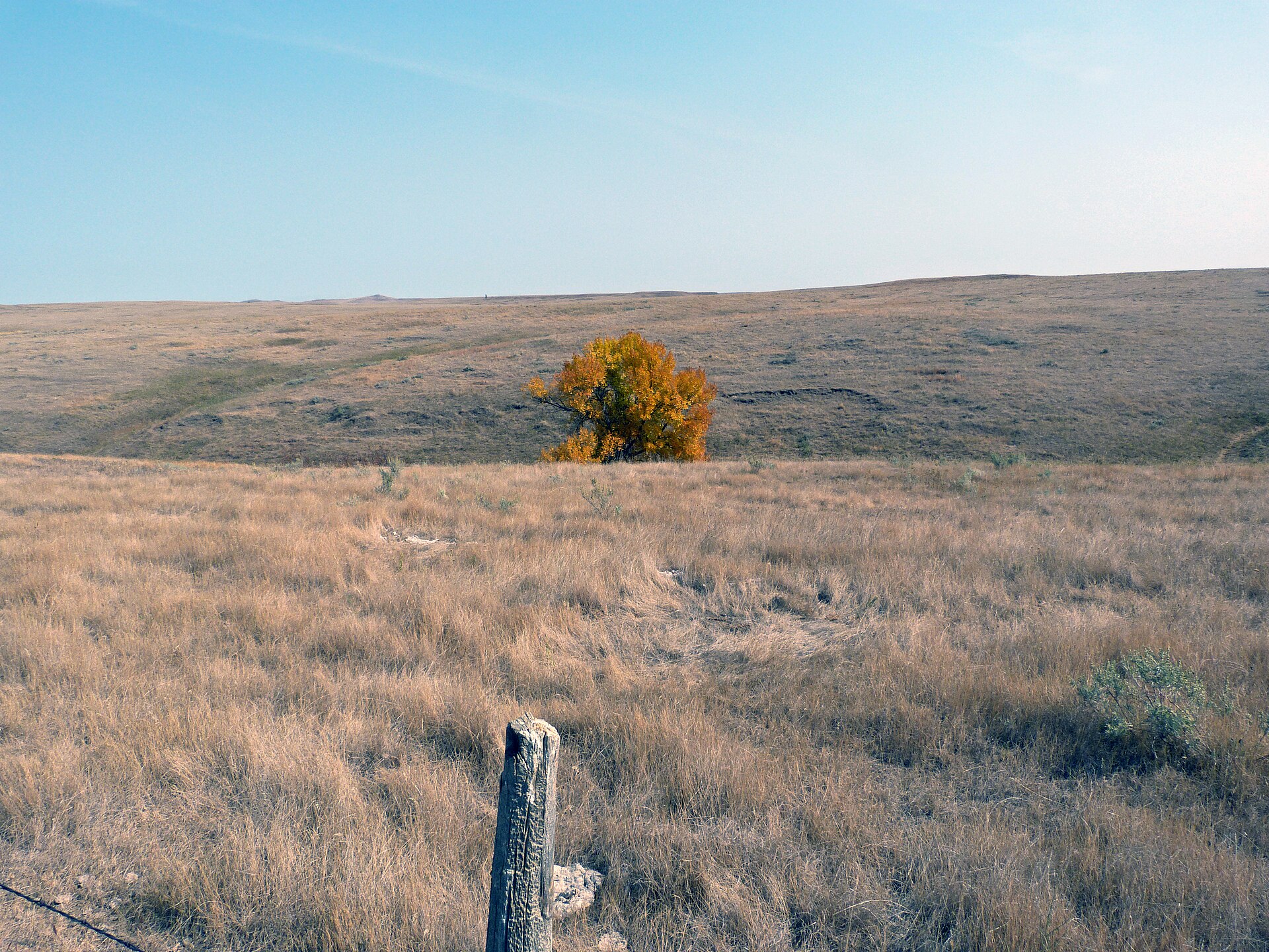
Fig. 1Open green rolls on Cedar River National Grassland
Landform
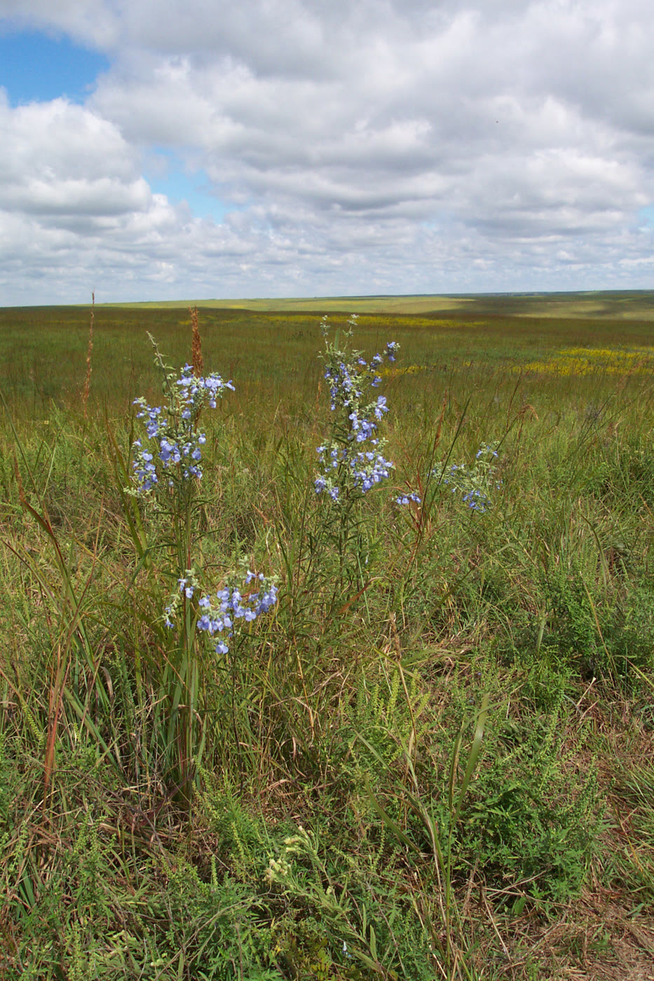
A quiet mixed-grass unit on the Dakota Prairie Grasslands — open rolls, a lone autumn ash, and copper big bluestem.
Field note
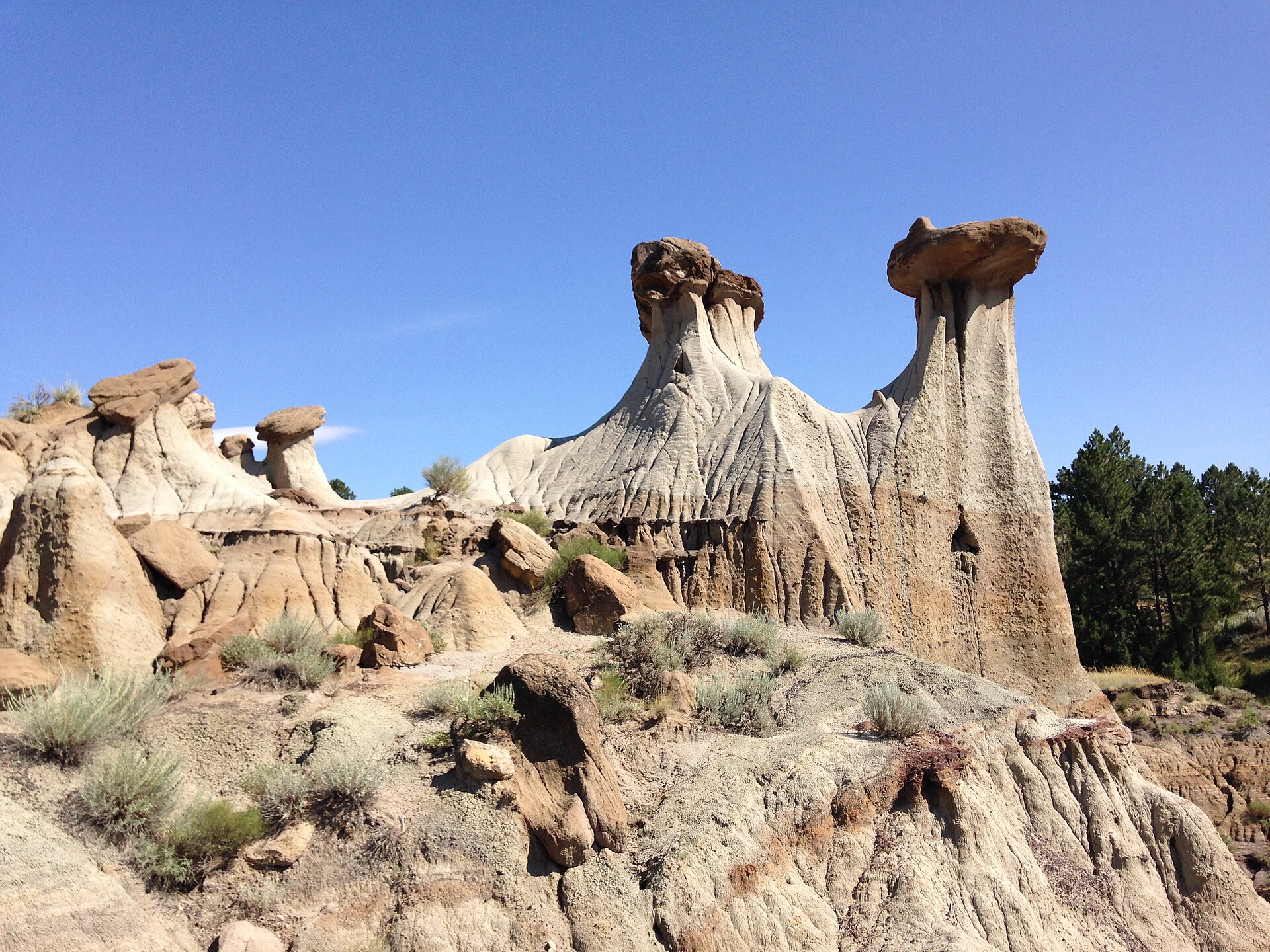
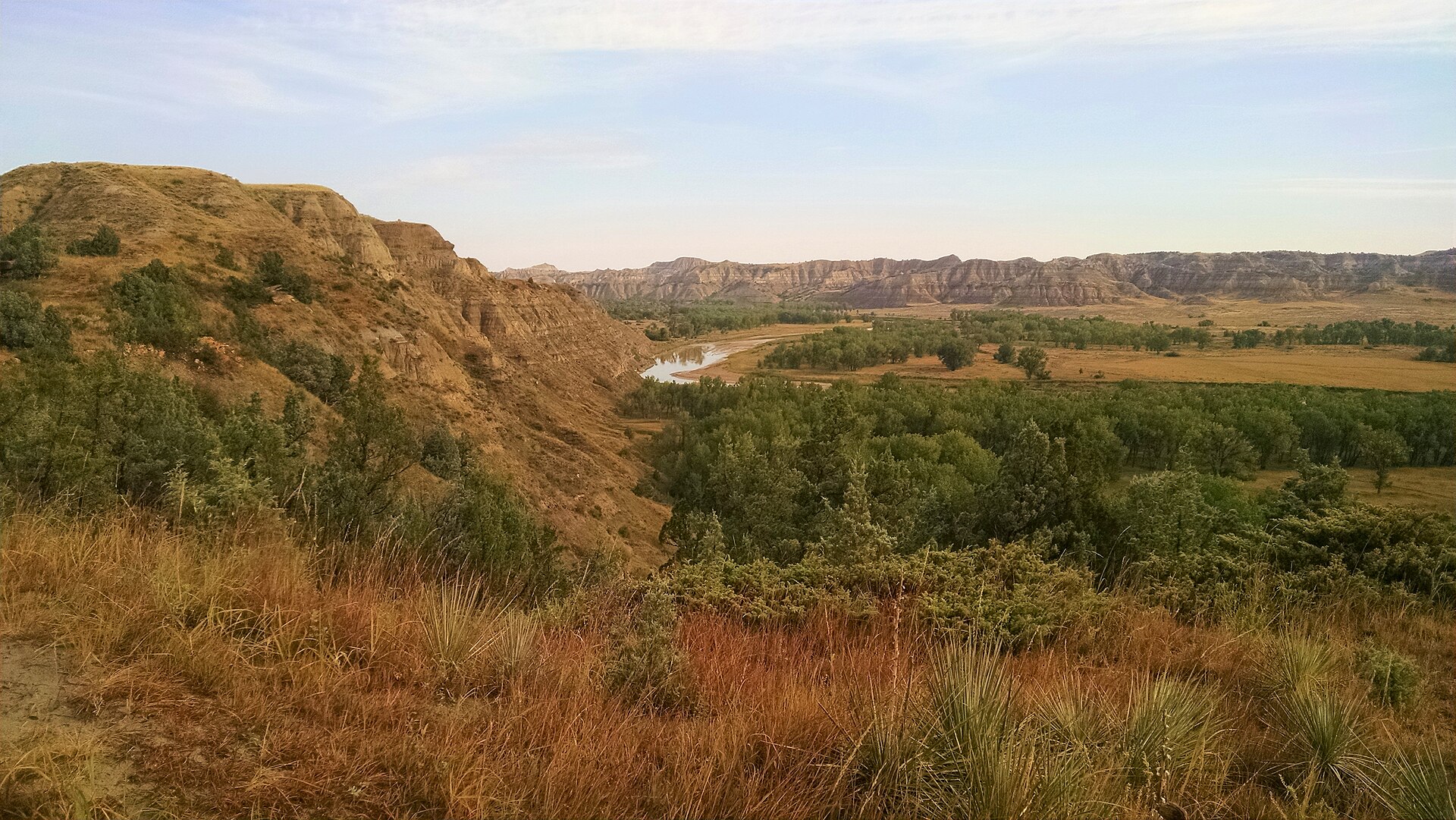
Cedar River sits just north of the South Dakota line, a smaller USFS unit than Grand River and far from any park gate. Selfridge and Lemmon are the towns. After rain the hills go green; in October one ash can hold the whole color. This plate is the grassland, not a farm stubble and not the Little Missouri badlands.
Cedar River is the quieter sister north of the South Dakota line — open rolls, a lone autumn ash, copper bluestem. Selfridge and Lemmon are near. This plate is the small USFS unit, not the Little Missouri badlands.