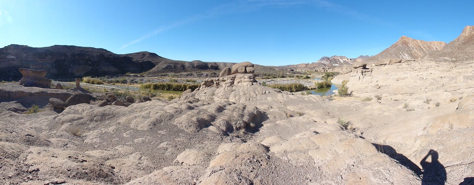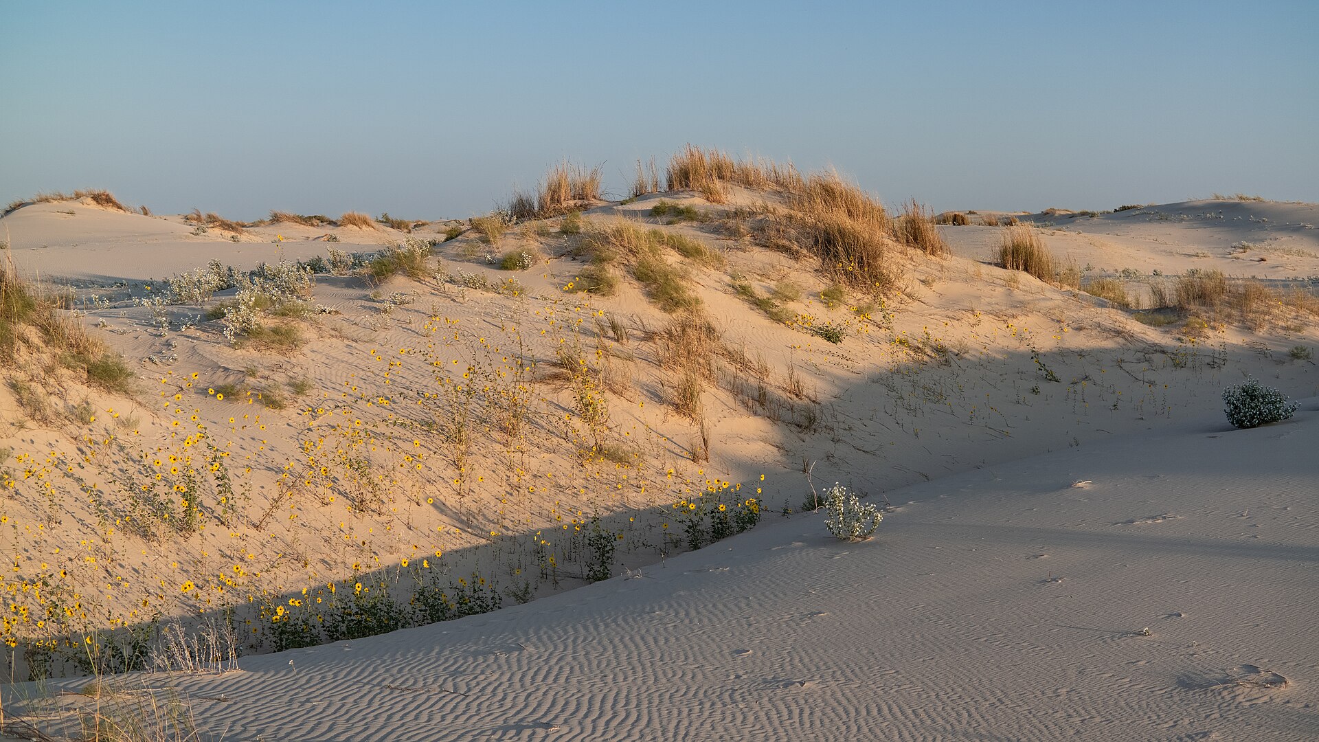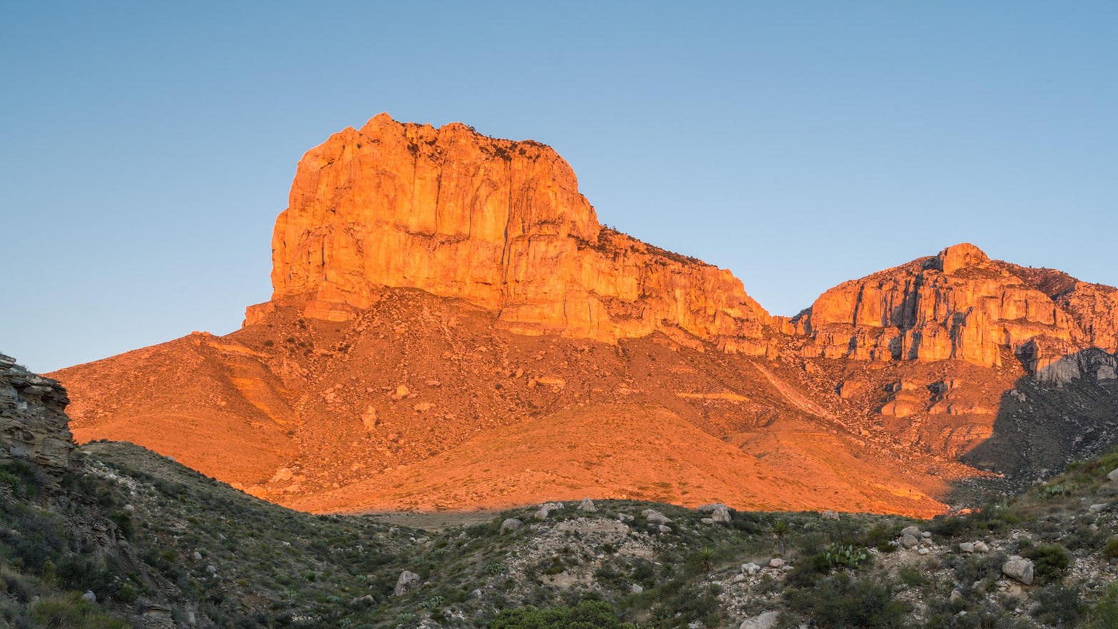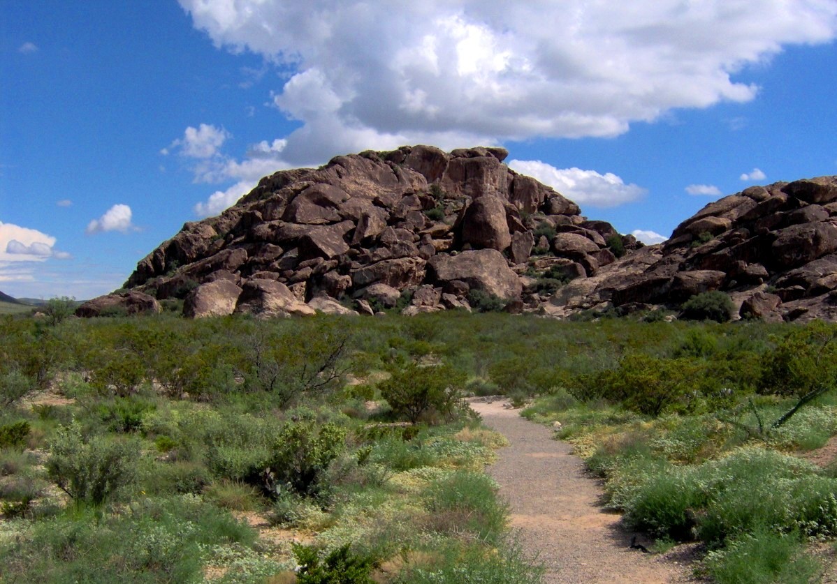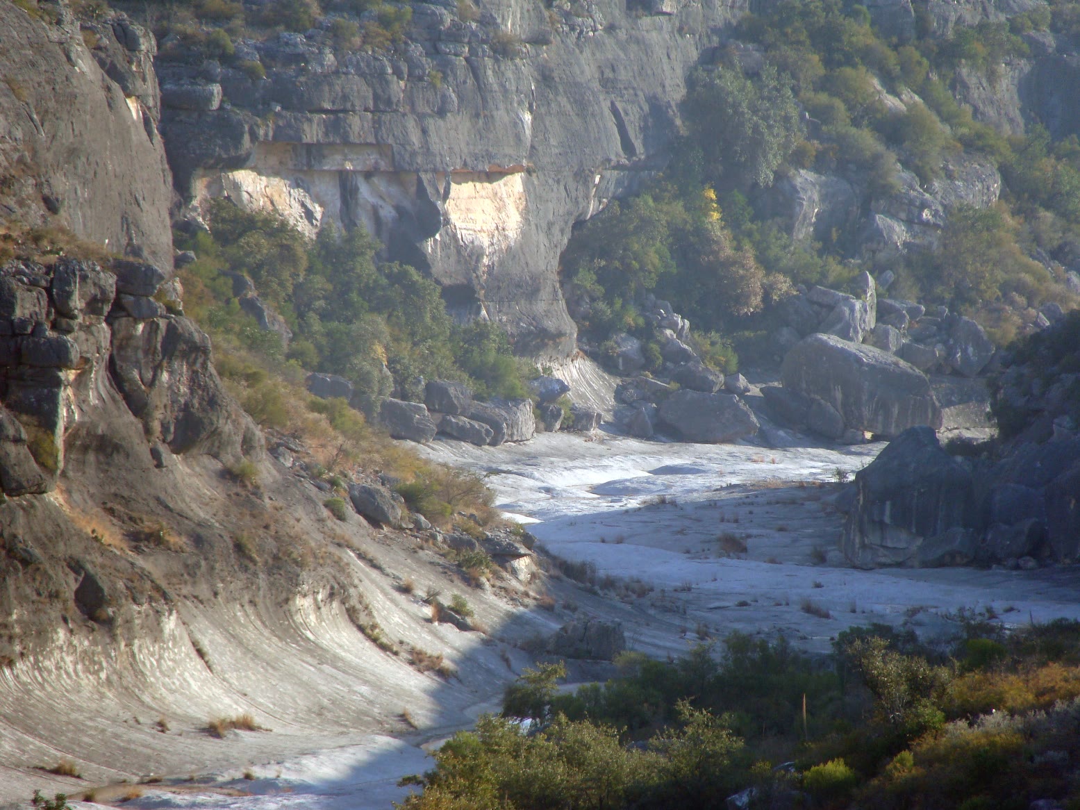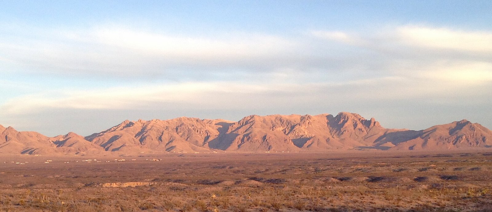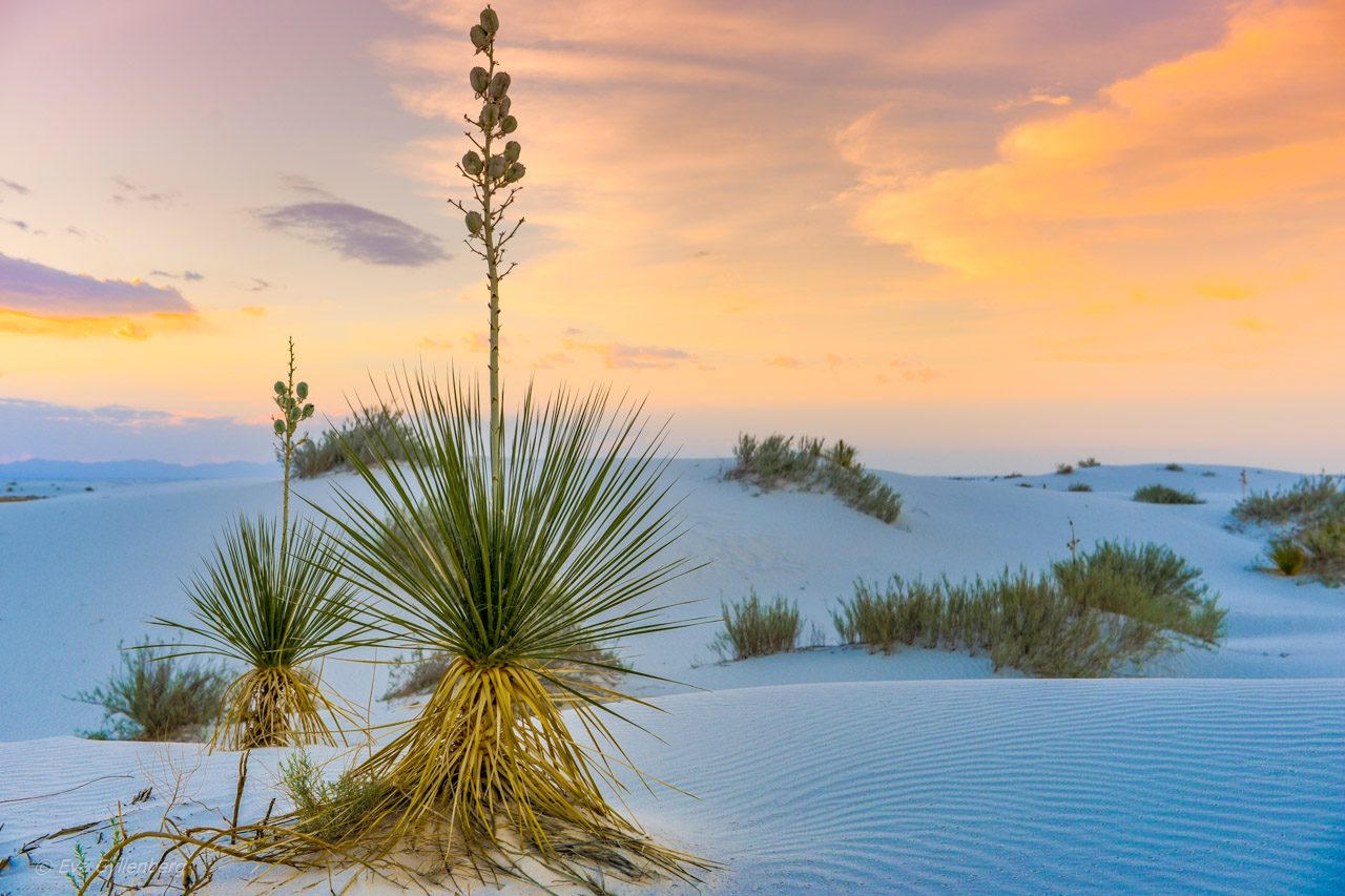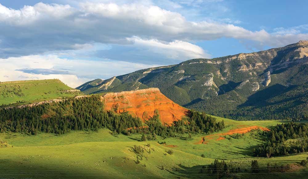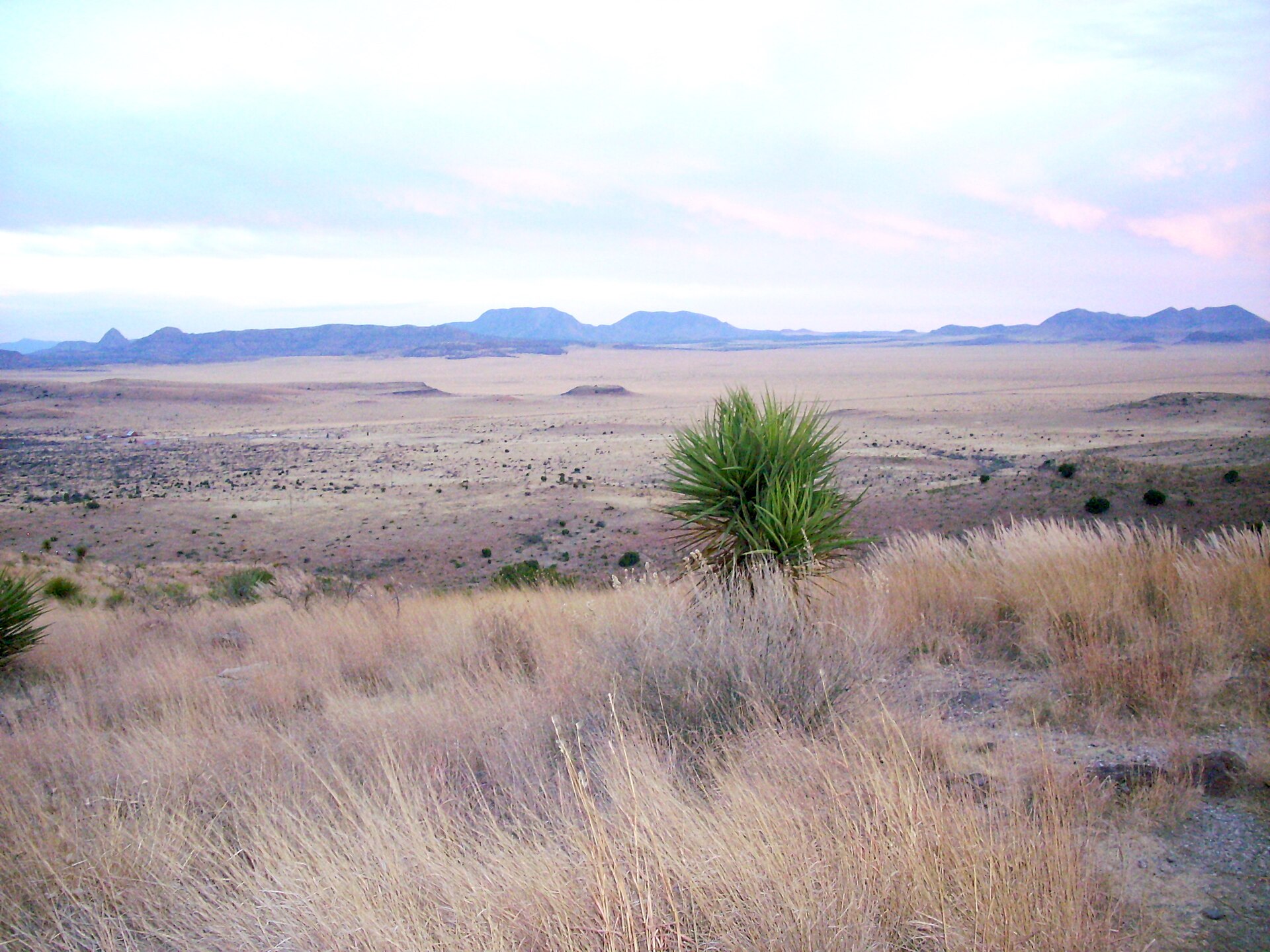
Fig. 1Yucca and a Trans-Pecos basin from Davis Mountains State Park
Landform
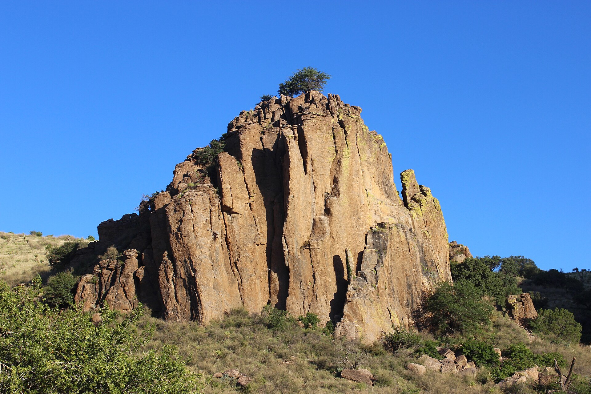
A volcanic sky-island range in the Trans-Pecos — oak and juniper slopes, a yucca foreground, and the McDonald Observatory country on the same high benches.
Field note
From the park ridge the basin goes tan and the next range goes blue. Fort Davis is the nearest town. Spring wildflowers and autumn clarity are the seasons. The observatory sits on the same mountains; this plate is the wild ground, not the dome. Distinct from Big Bend’s Chisos and from the Guadalupes.
The Davis Mountains are a volcanic sky island in the Trans-Pecos. Davis Mountains State Park holds the oak-juniper slopes; McDonald Observatory sits on the same high benches. Fort Davis is the town. This plate is the wild ground, not the dome and not the Chisos.