Landform
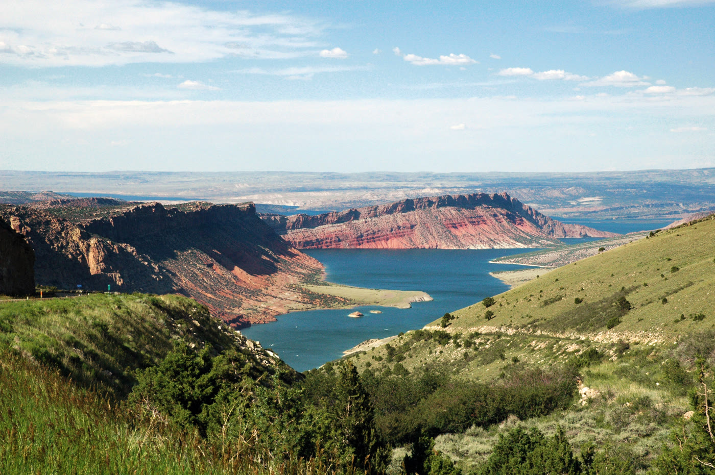
The Green River held in a red sandstone canyon — a long reservoir between Utah and Wyoming.
Field note
From Sheep Creek the water is a dark blue thread in fire-colored stone. The canyon is older than the dam. The road hugs the rim.
The Field Atlas
0/363Canyon chapter · 40.89° N · 109.42° W
The Green River held in a red sandstone canyon — a long reservoir between Utah and Wyoming.
From Sheep Creek the water is a dark blue thread in fire-colored stone. The canyon is older than the dam. The road hugs the rim.
A private leaf
Instant paper, this copy only. Write on the white — a line the walk still owes you.
0 / 24
Opening the leaf…
Onward
The nearest plates, by the miles.
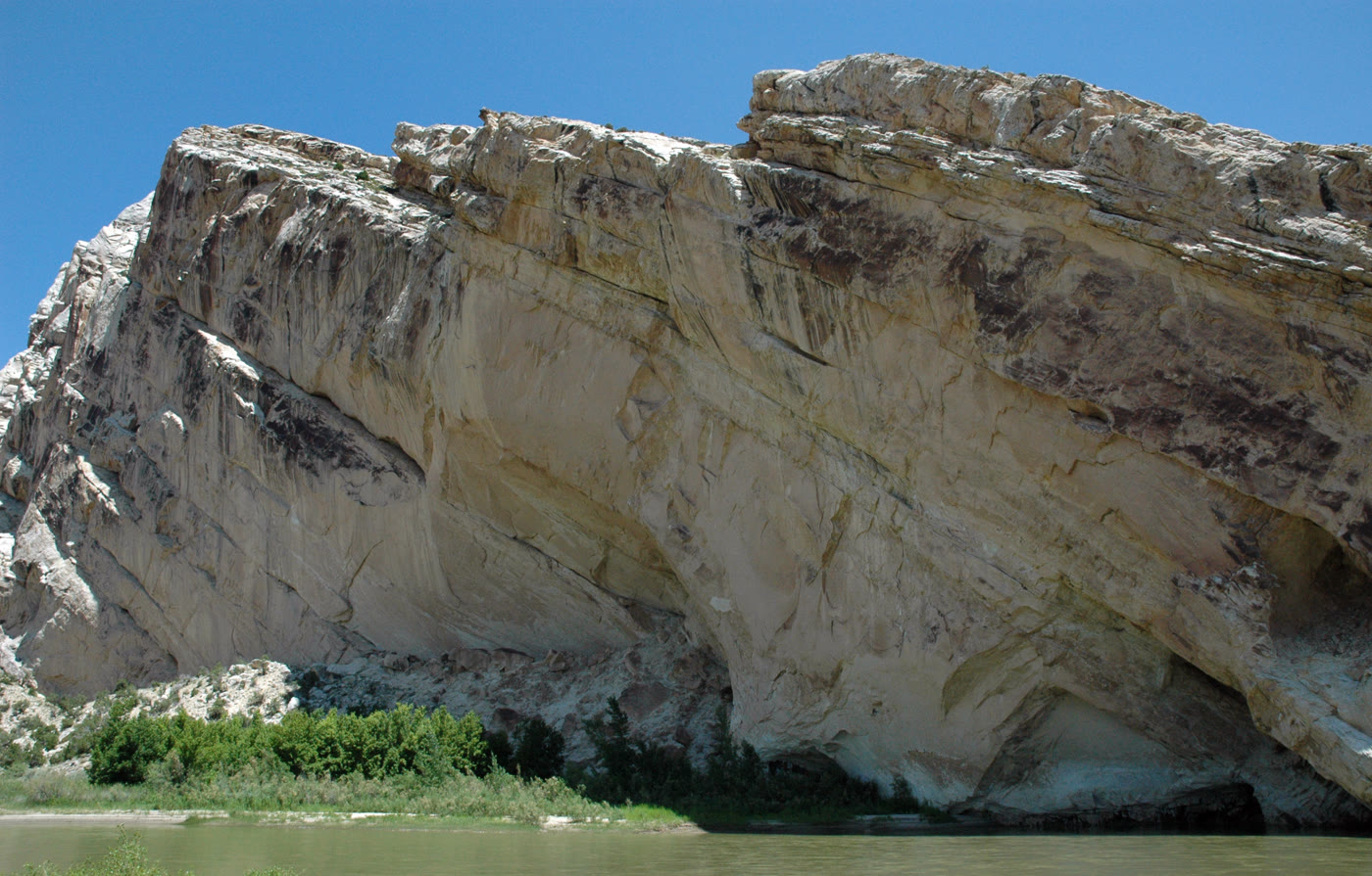 Split Mountain32 miles · UtahCCIV
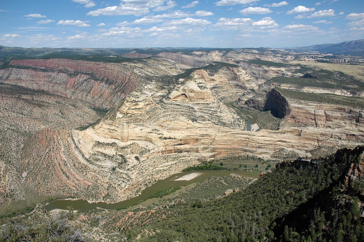 Harper's Corner33 miles · ColoradoCLXXXVIII
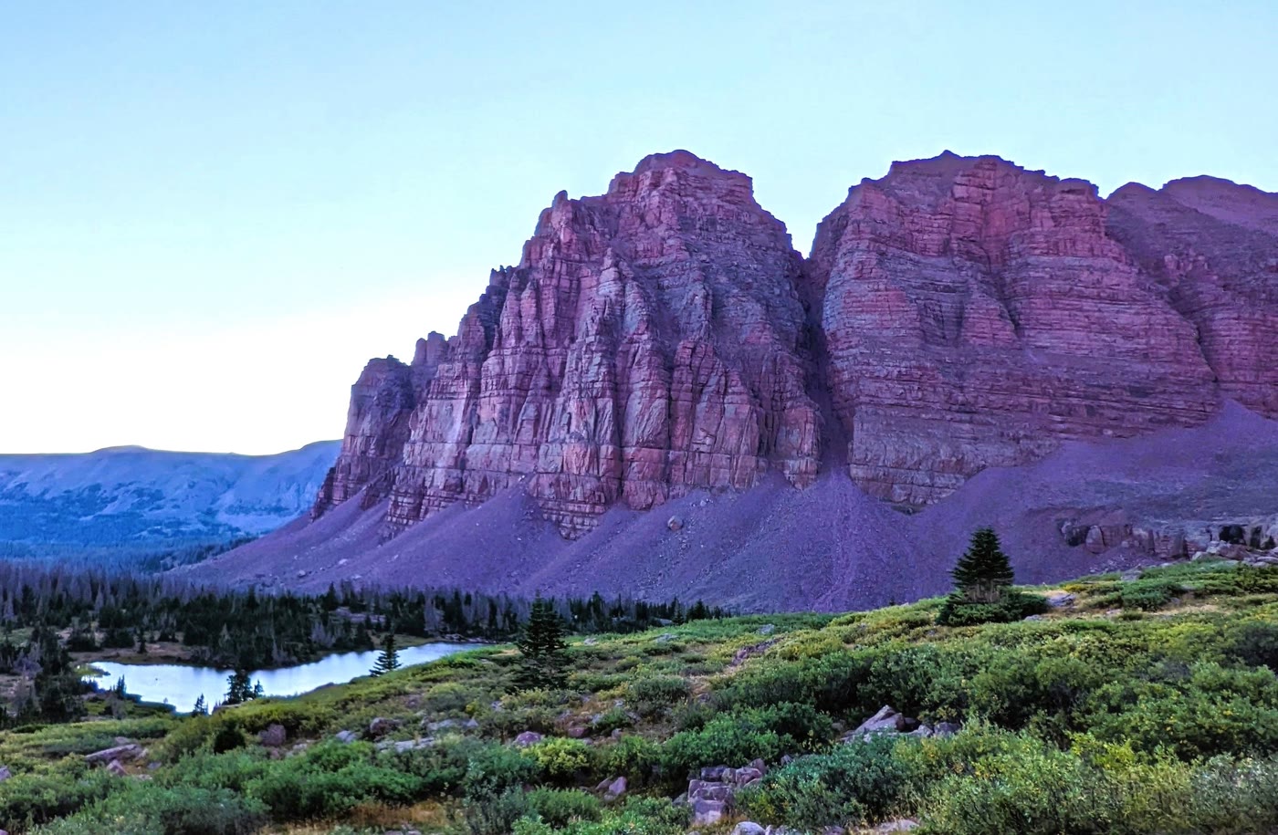 Red Castle55 miles · UtahCCIII
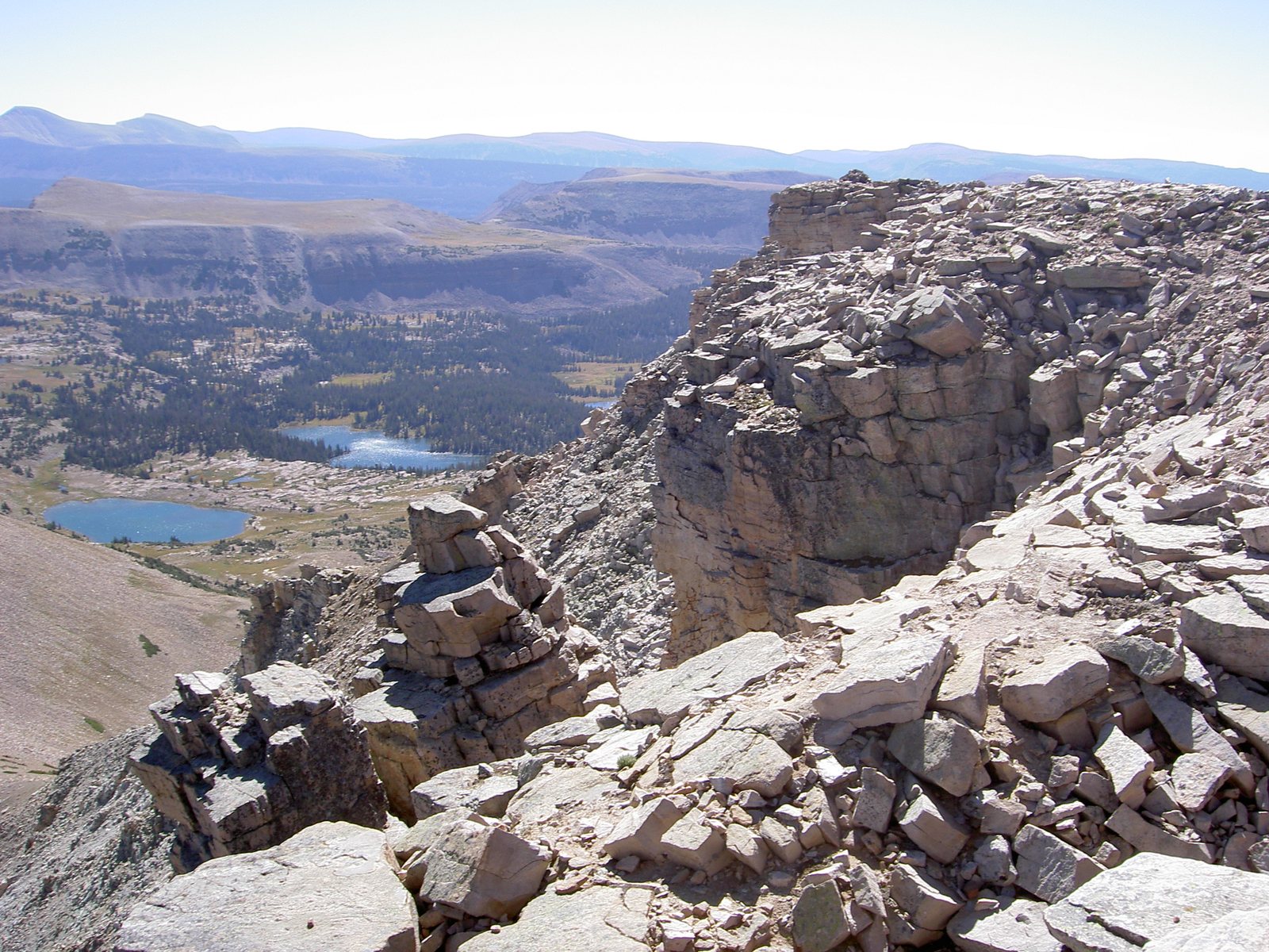 High Uintas73 miles · UtahLXXXIX
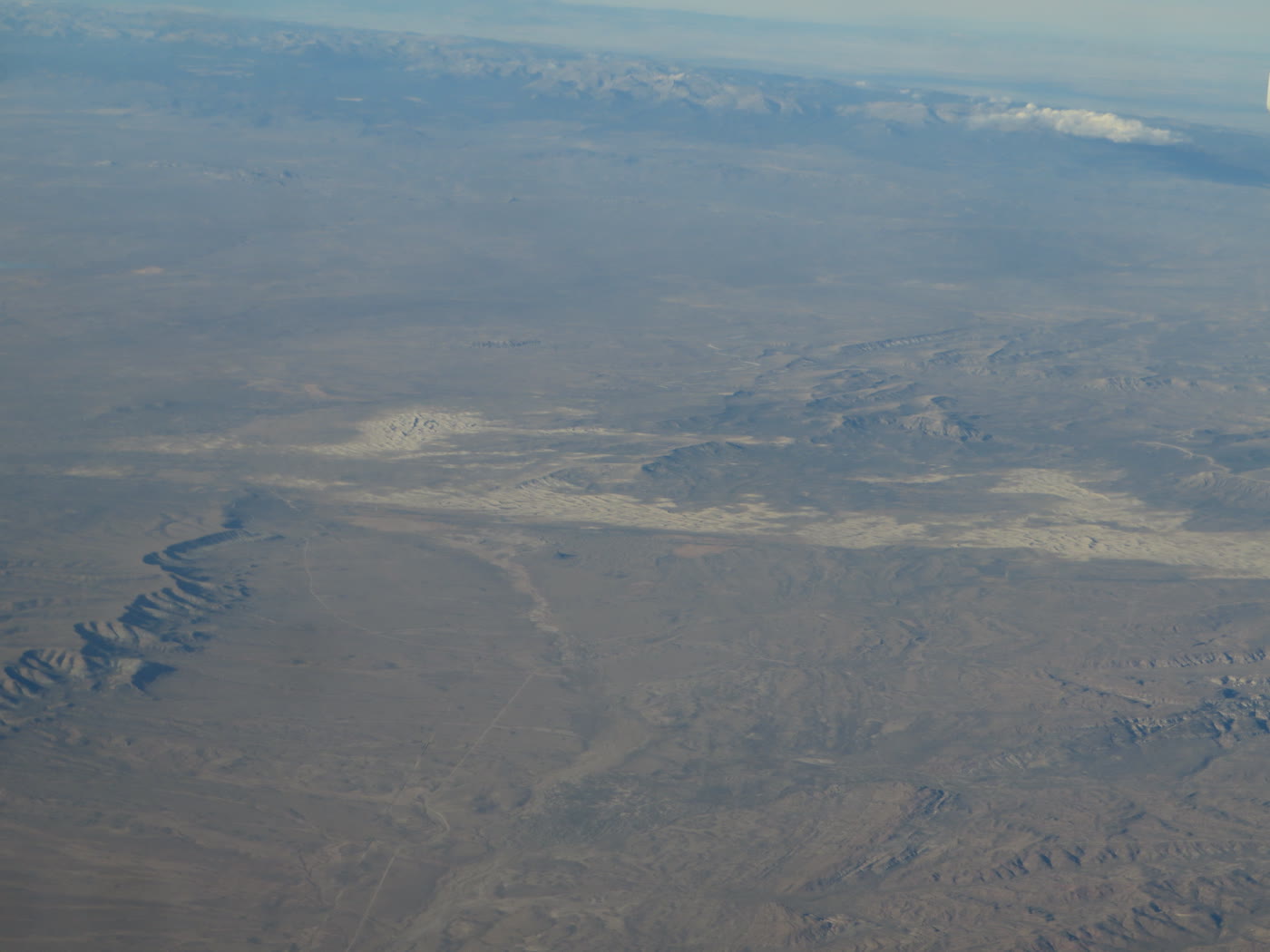 Killpecker Dunes76 miles · WyomingCLXVI
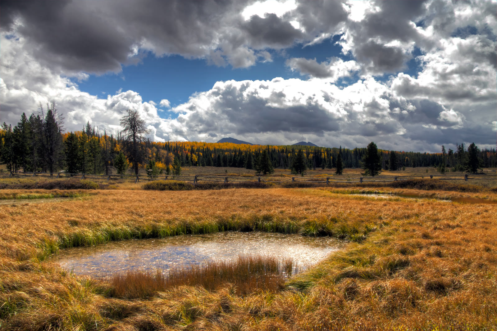 Mirror Lake Highway79 miles · UtahCCCXXXVIII
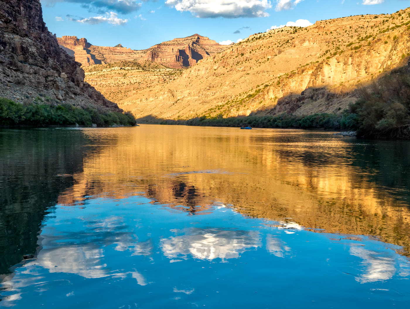 Desolation Canyon100 miles · UtahCCV
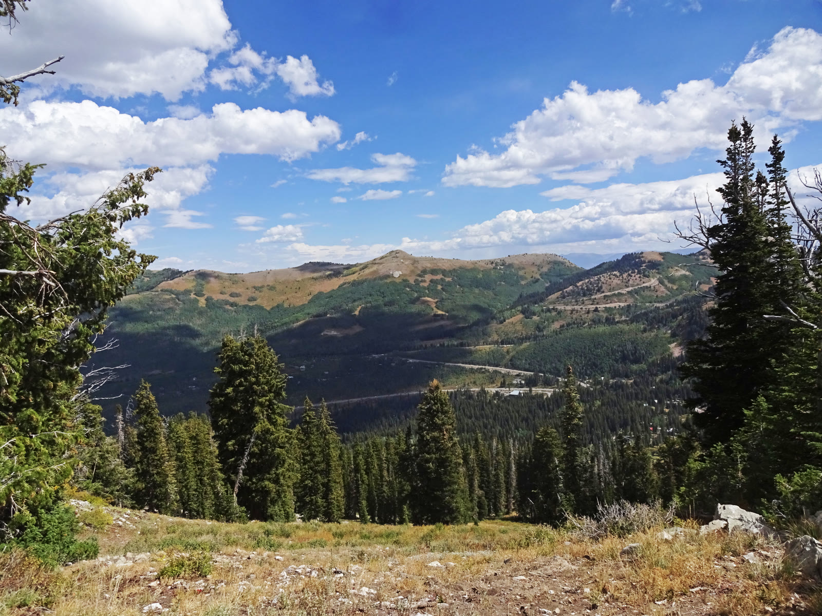 Guardsman Pass Overlook113 miles · UtahCCCXXXVI
Canyon chapter
Other US canyon plates. See all canyon destinations in the USA
Fold-out






