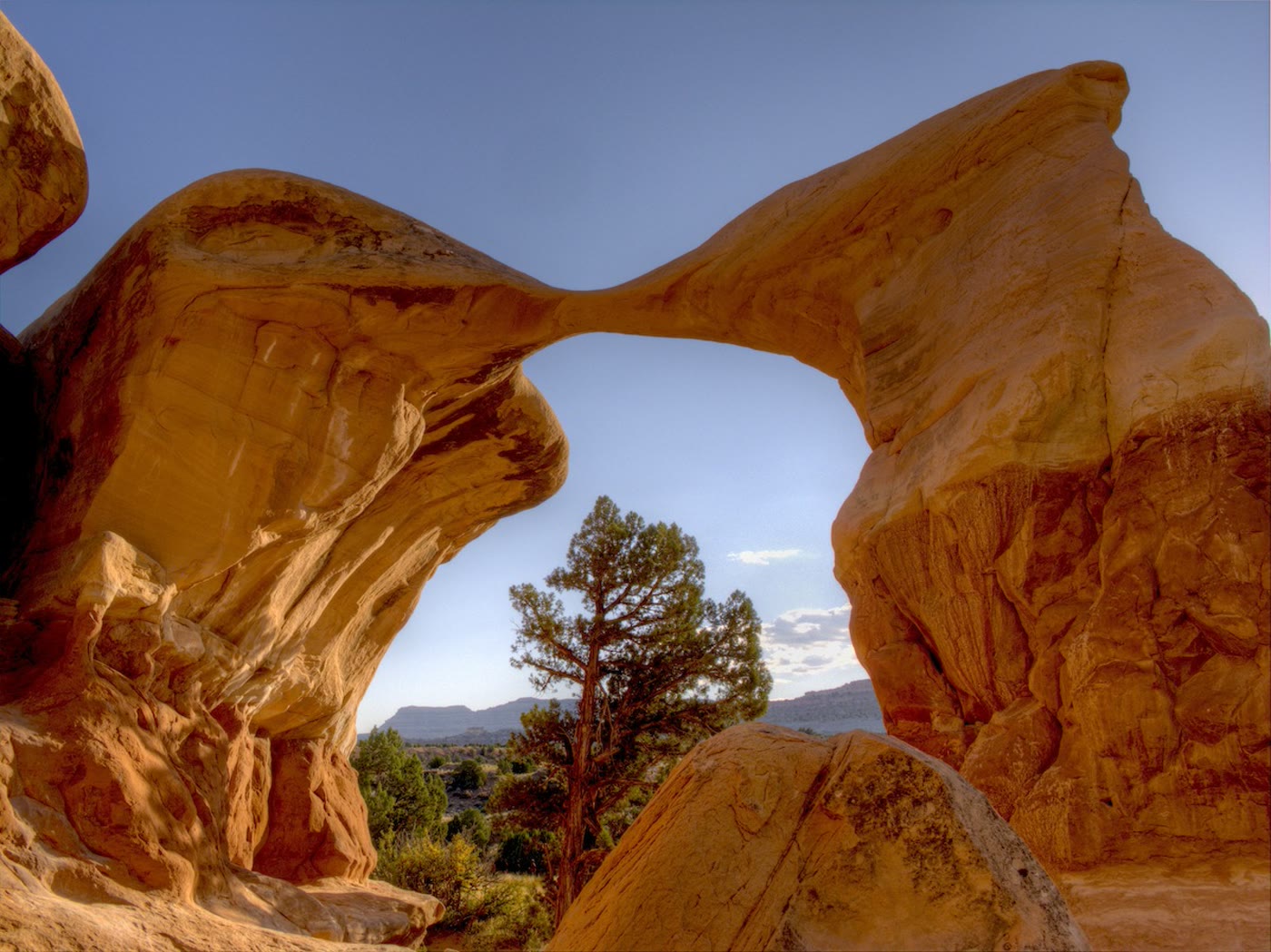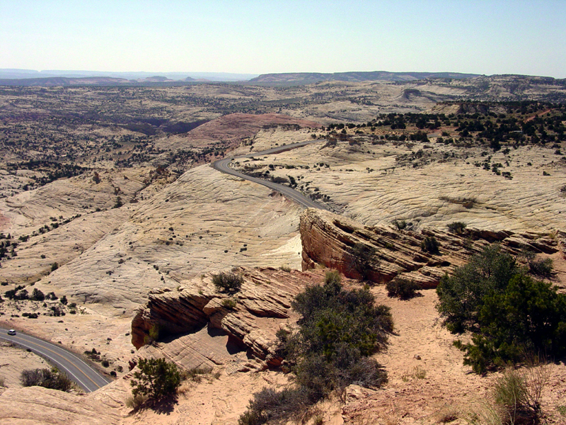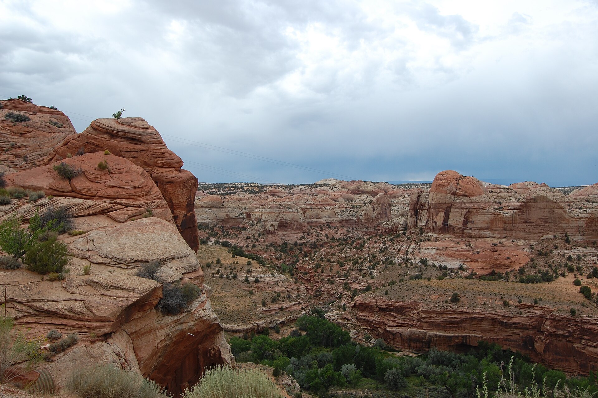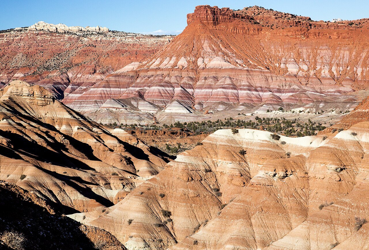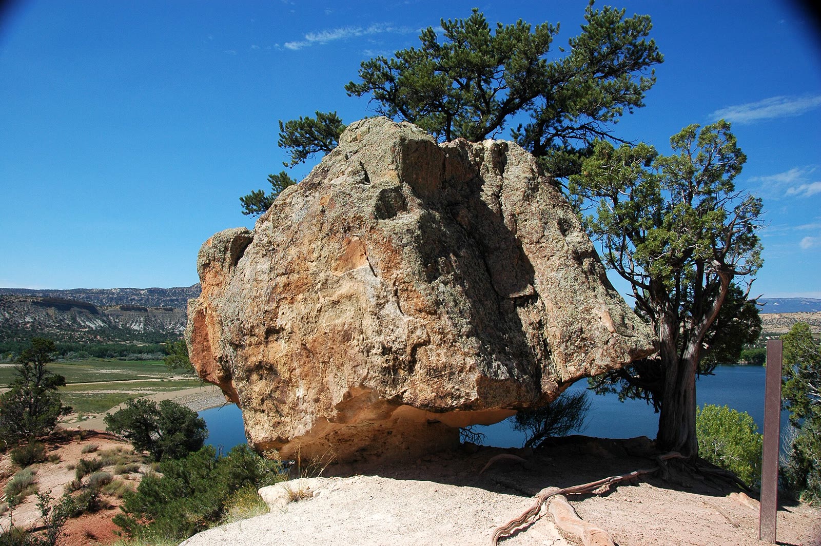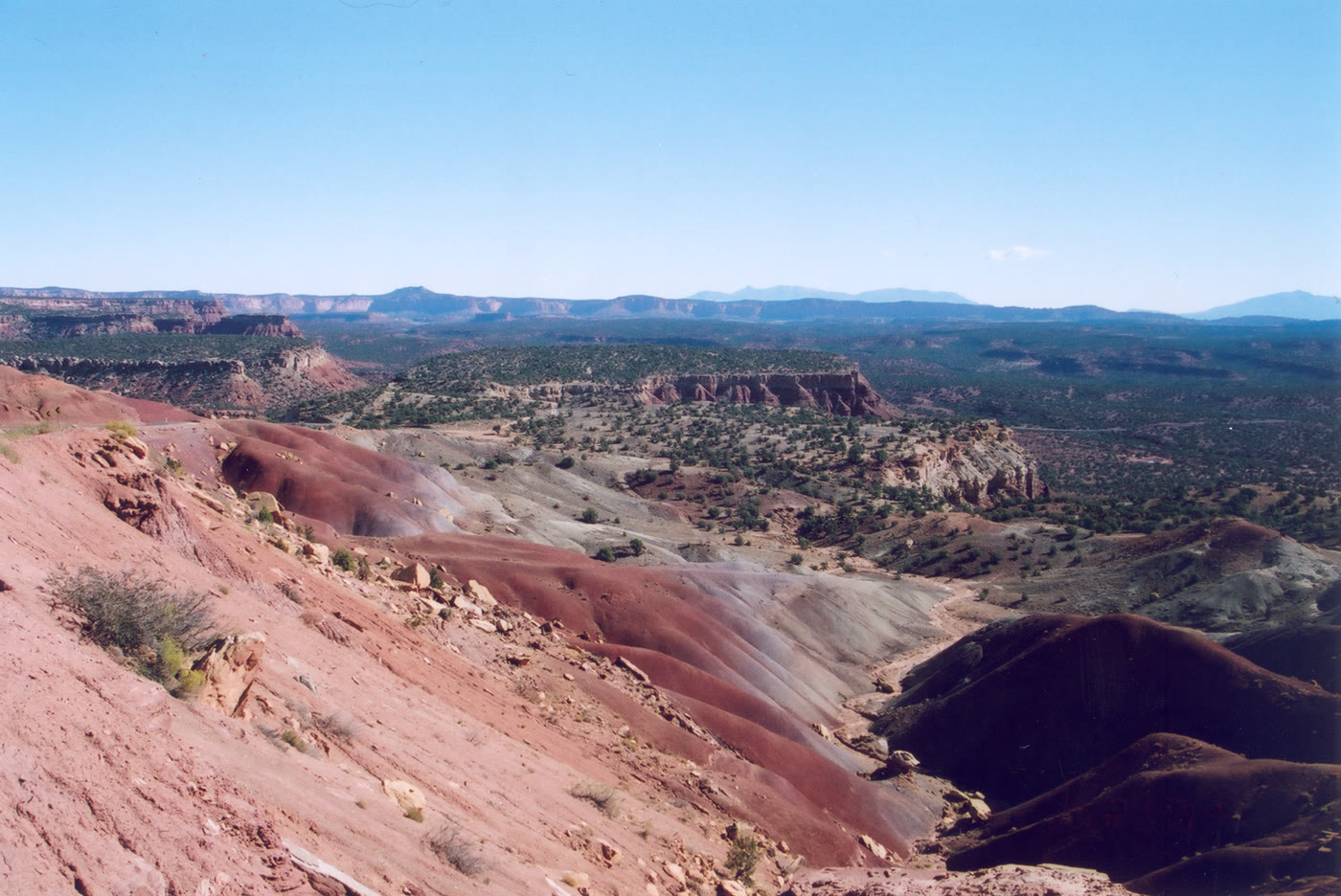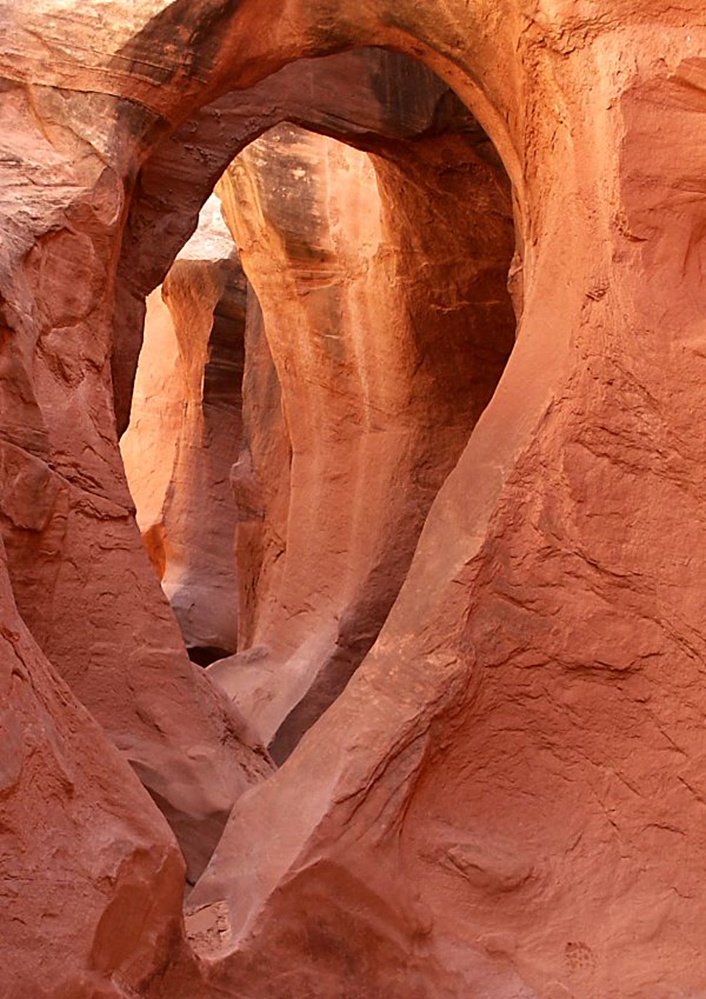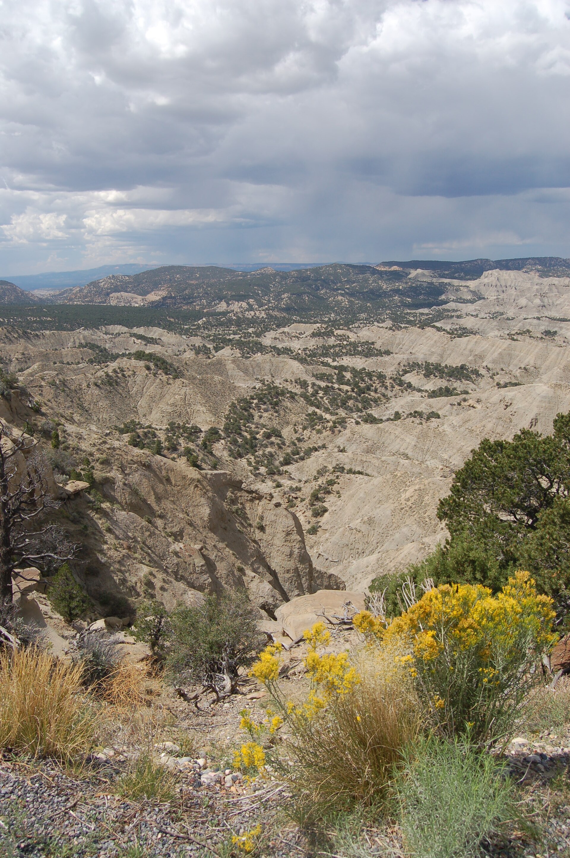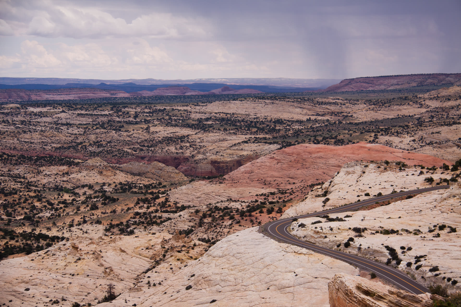
Cliffs and benches of Grand Staircase-Escalante National Monument
Landform
A BLM national monument of stepped cliffs, the Kaiparowits Plateau, and Escalante River slots — Chocolate, Vermilion, White, Gray, and Pink benches, not Zion and not Capitol Reef.
Field note
President Clinton designated Grand Staircase-Escalante National Monument in 1996; the Bureau of Land Management administers the land. Boundaries shrank in 2017 and were restored in 2021. The Grand Staircase rises in named cliffs — Chocolate, Vermilion, White, Gray, and Pink — from the desert toward Bryce country. The Kaiparowits Plateau spreads south; the Escalante River and its tributaries cut slot canyons through Navajo sandstone. Escalante, Boulder, Kanab, and Big Water are the gateway towns. Hole-in-the-Rock Road, the Burr Trail, and Cottonwood Canyon Road reach the backcountry; graded dirt becomes impassable when wet. Calf Creek, Peekaboo Gulch, the Burr Trail, Wahweap Hoodoos, and Toadstool Hoodoos keep their own plates inside the monument. Burr Point looks down on the Dirty Devil rim. Escalante Petrified Forest State Park is a separate state park at Wide Hollow, not BLM monument country. Toadstool Geologic Park is the Nebraska hoodoo field, not the Utah rimrocks. This plate is the monument, not Bryce Canyon and not Glen Canyon NRA.
Grand Staircase-Escalante is BLM canyon country — stepped cliffs, the Kaiparowits, and Escalante slots designated in 1996. Escalante and Boulder are the towns. Calf Creek and Peekaboo keep their own plates. Escalante Petrified Forest is the separate state park at Wide Hollow. This plate is the monument, not Bryce and not Zion.