State chapter
Wild places in Utah
Utah has 80 plates in this atlas, on hills, canyon, desert, dunes, alpine, forest, and wetland ground.
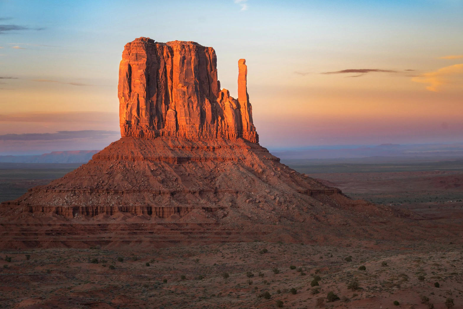
FrontispieceMonument Valley, Utah / Arizona
- Plates
- 80
- Terrains
- Hills, Canyon, Desert, Dunes, Alpine, Forest, Wetland
Utah
The plates
Plate IIIMonument Valley
desertNavajo Tribal Park, Utah / Arizona
Red buttes standing like ships on a sea of sage.
37.0° N · 110.1° WOpen plate →
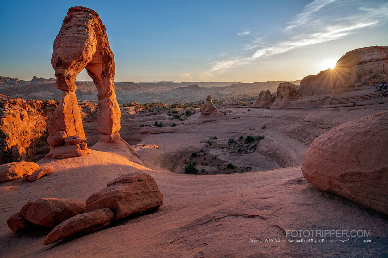 Plate IV
Arches
desertArches National Park, near Moab, Utah
A desert of windows punched through red rock.
38.7° N · 109.6° WOpen plate →
 Plate V
Zion Canyon
canyonZion National Park, Utah
A river walking through a cathedral of red walls.
37.3° N · 113.0° WOpen plate →
 Plate XXIX
Bryce Canyon
canyonPaunsaugunt Plateau, Utah
A frozen congregation of stone, lit from within at sunrise.
37.6° N · 112.2° WOpen plate →
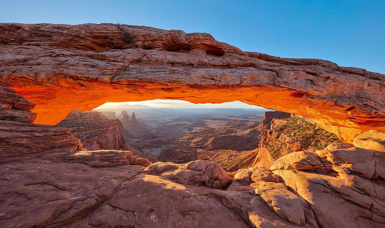 Plate XXXII
Mesa Arch
desertIsland in the Sky, Canyonlands, Utah
A stone eyelid that opens onto the whole plateau.
38.4° N · 109.9° WOpen plate →
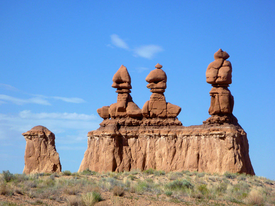 Plate LIII
Goblin Valley
desertSan Rafael Desert, near Hanksville, Utah
A valley of stone figures that look as if they might walk at dusk.
38.6° N · 110.7° WOpen plate →
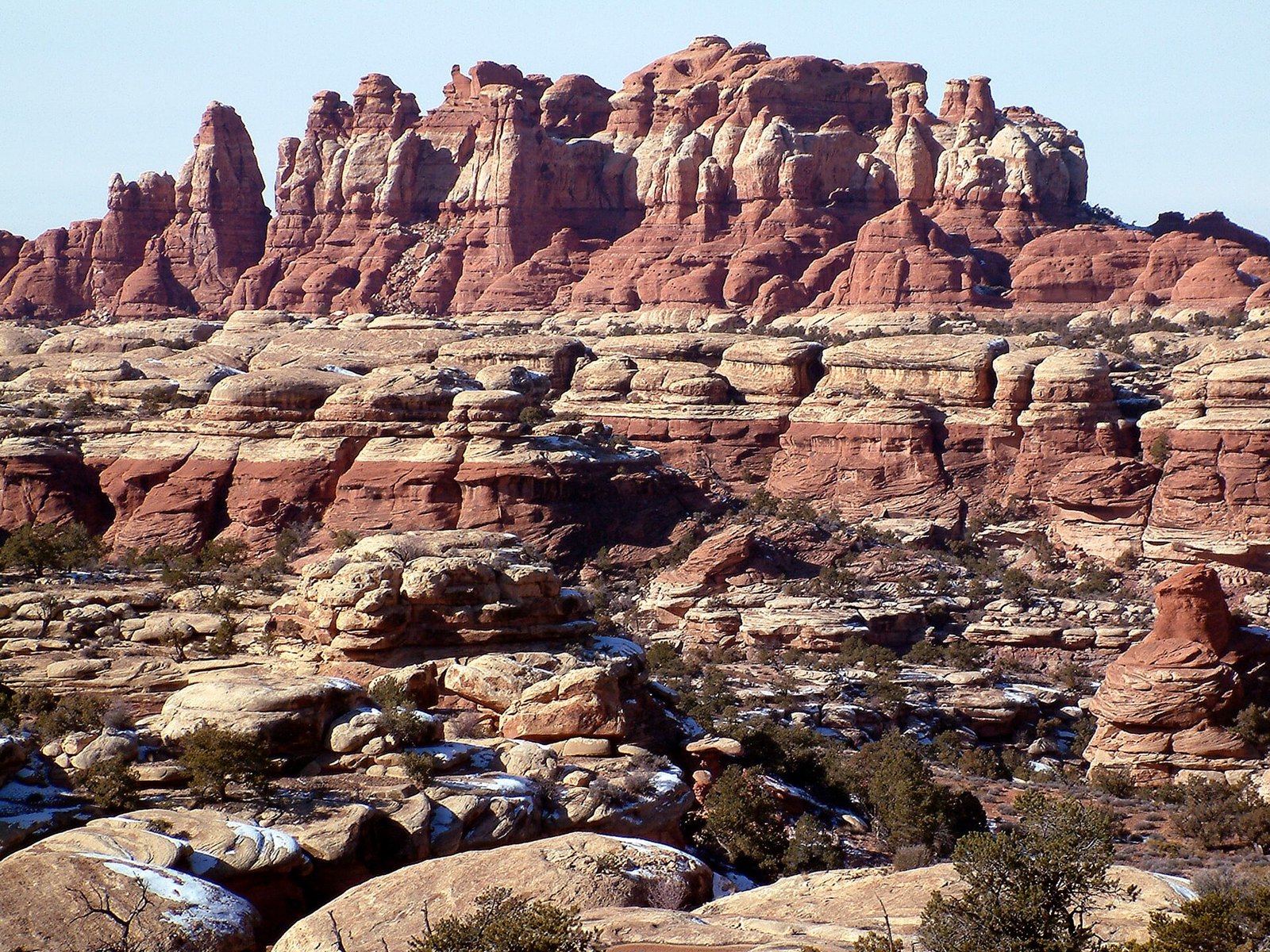 Plate LIV
The Needles
desertCanyonlands National Park, Needles District, Utah
A city of stone towers with almost no one in the streets.
38.1° N · 109.8° WOpen plate →
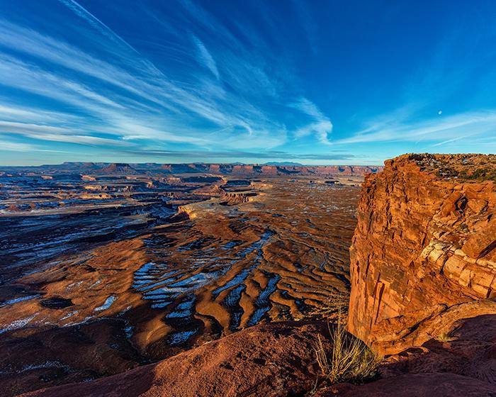 Plate LV
Island in the Sky
canyonCanyonlands National Park, north mesa, Utah
A tableland with two rivers cutting the floor out from under it.
38.5° N · 109.8° WOpen plate →
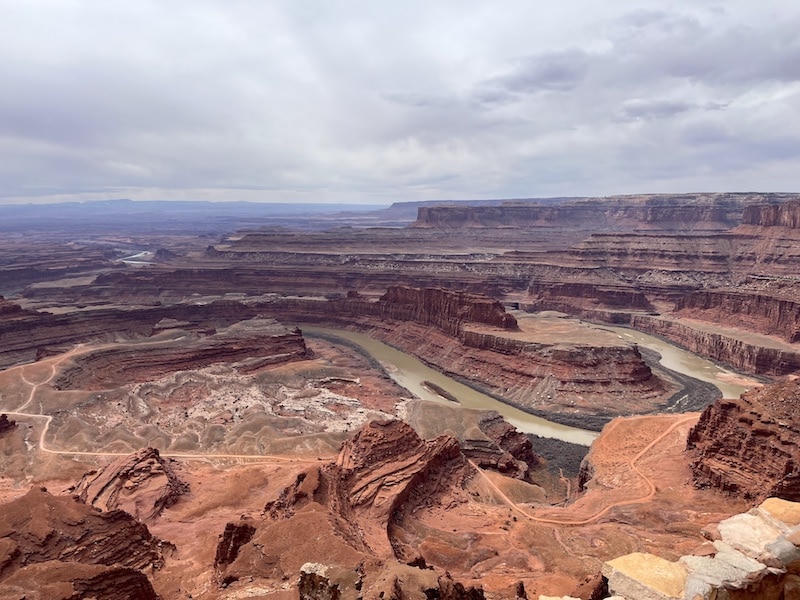 Plate LVI
Dead Horse Point
canyonDead Horse Point State Park, near Moab, Utah
A peninsula of stone hanging over a river that has nowhere to hurry.
38.5° N · 109.7° WOpen plate →
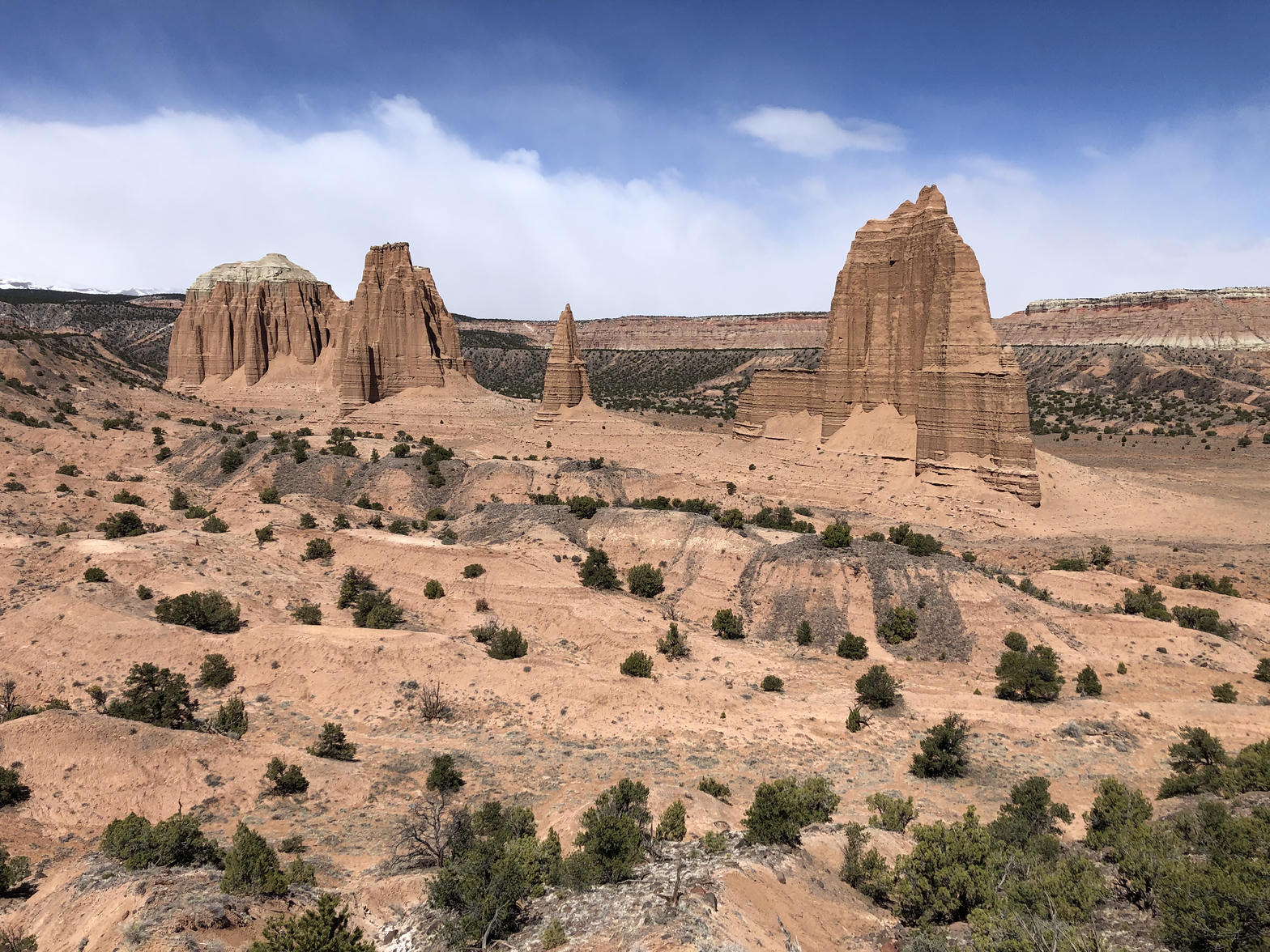 Plate LVIII
Cathedral Valley
desertCapitol Reef National Park, north district, Utah
A desert nave with two red temples and no congregation.
38.5° N · 111.1° WOpen plate →
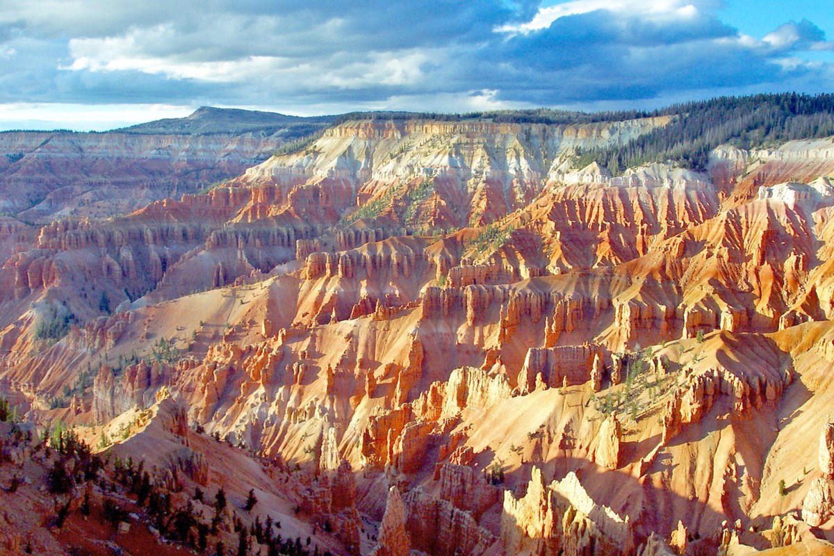 Plate LIX
Cedar Breaks
canyonMarkagunt Plateau, Utah
A Bryce that kept the altitude and lost the crowds.
37.6° N · 112.8° WOpen plate →
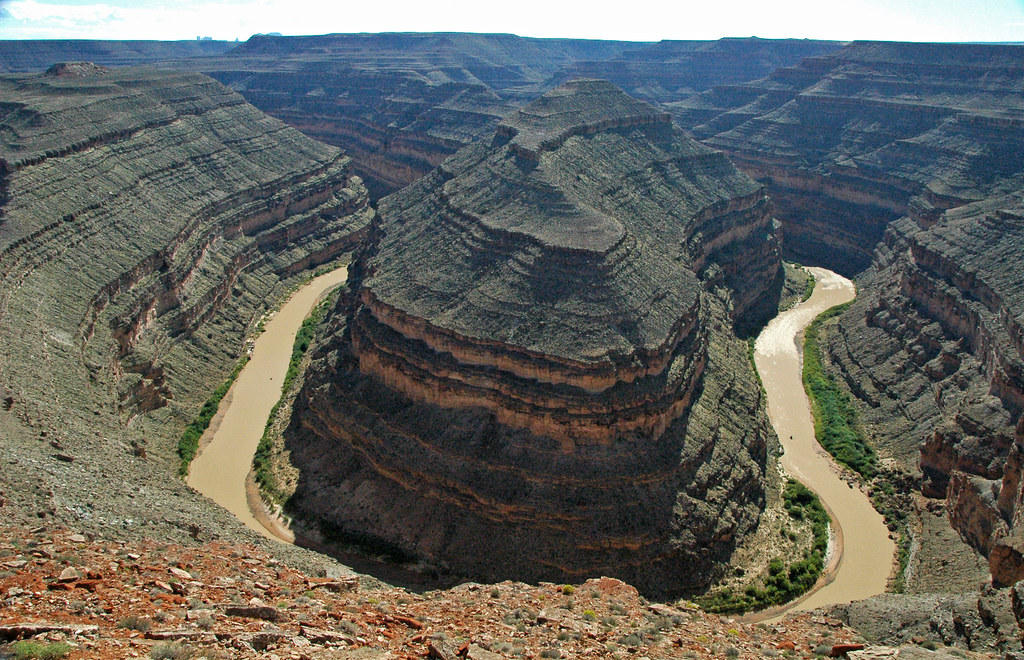 Plate LX
Goosenecks
canyonSan Juan River, near Mexican Hat, Utah
A river that refused to straighten, and cut down instead.
37.2° N · 109.9° WOpen plate →
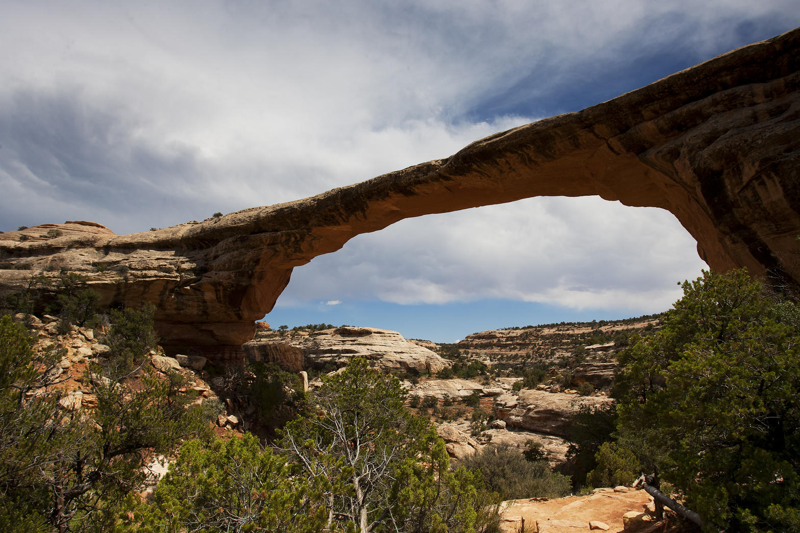 Plate LXI
Natural Bridges
desertWhite Canyon, Cedar Mesa, Utah
A quieter Arches, cut by water instead of frost.
37.6° N · 110.0° WOpen plate →
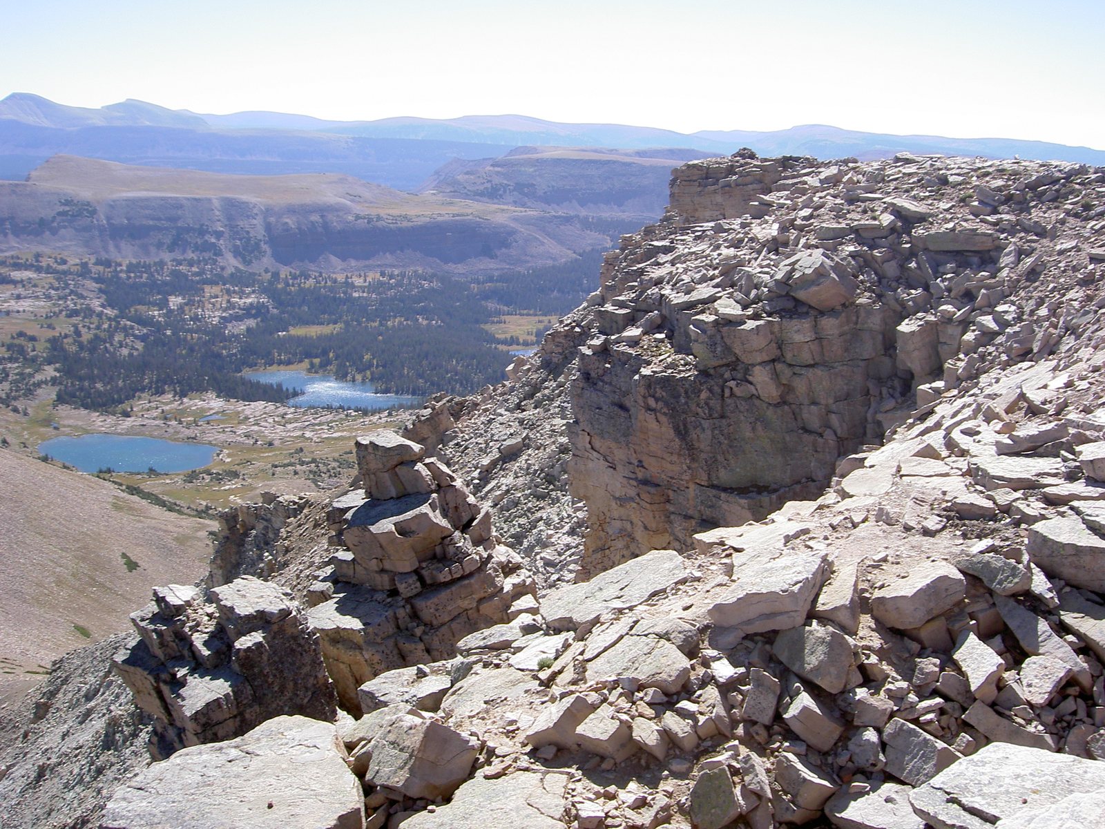 Plate LXXXIX
High Uintas
alpineAshley National Forest, Utah
A range that refused to run north–south.
40.7° N · 110.8° WOpen plate →
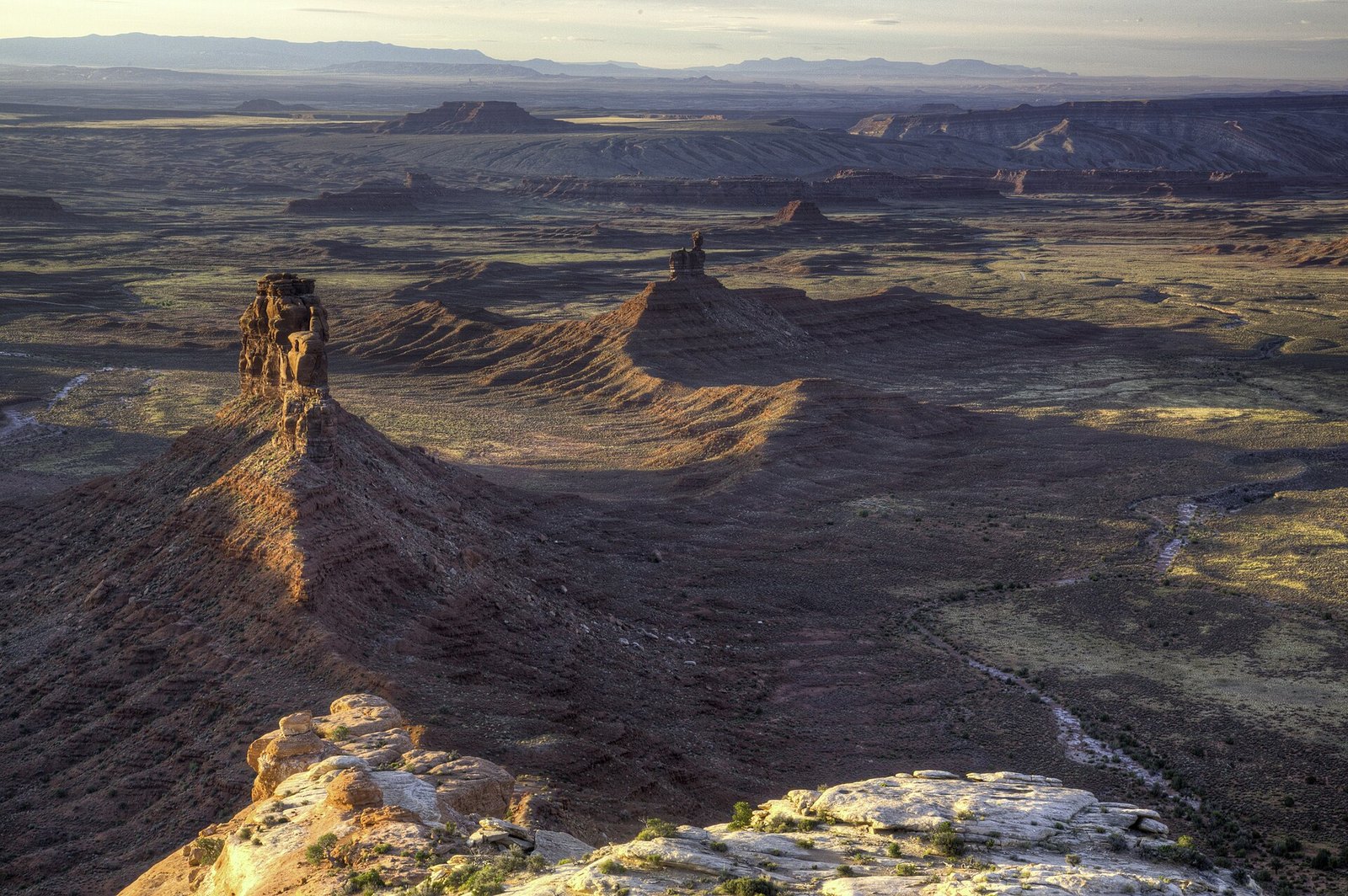 Plate CXXV
Valley of the Gods
desertCedar Mesa, Utah
The valley the buses forgot.
37.3° N · 109.9° WOpen plate →
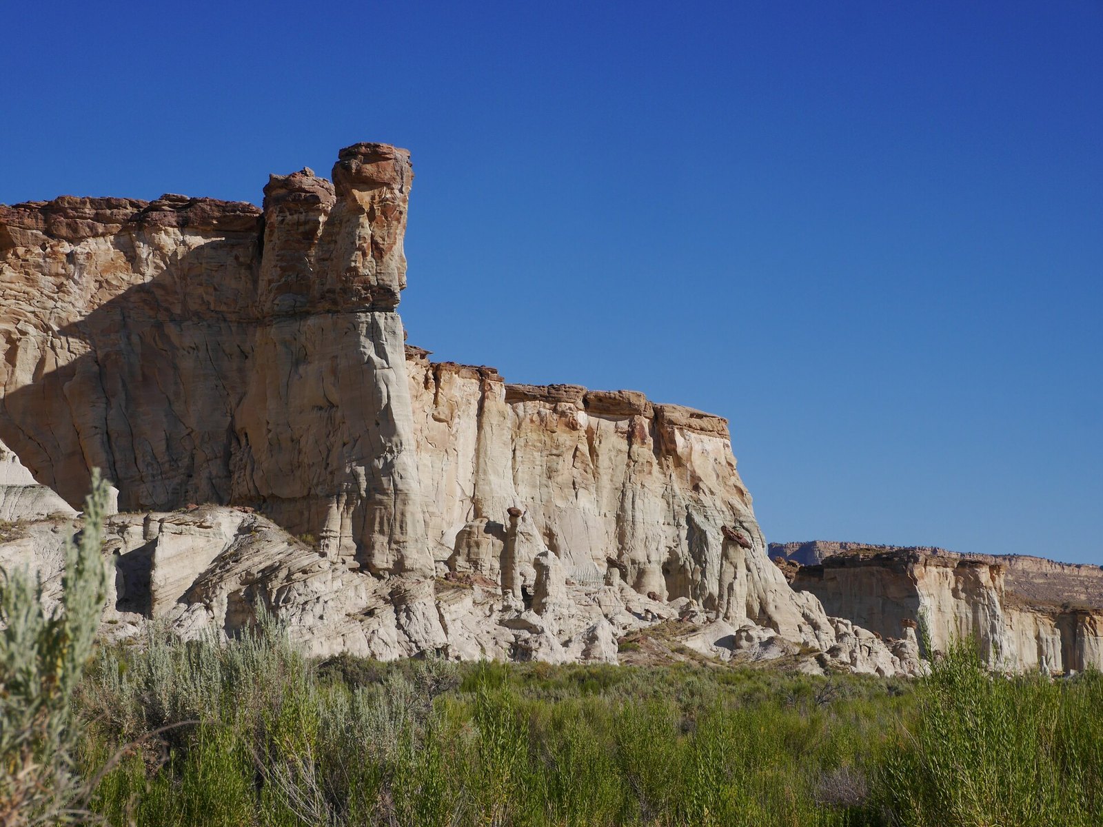 Plate CXXVI
Wahweap Hoodoos
desertGrand Staircase–Escalante, near Big Water, Utah
A choir of white stone in an empty wash.
37.1° N · 111.5° WOpen plate →
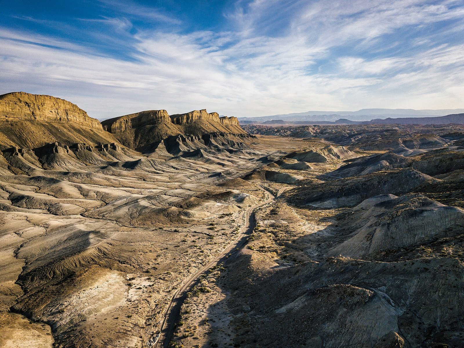 Plate CXXVII
Factory Butte
desertFactory Bench, near Hanksville, Utah
A butte that looks like it belongs to another planet.
38.3° N · 110.9° WOpen plate →
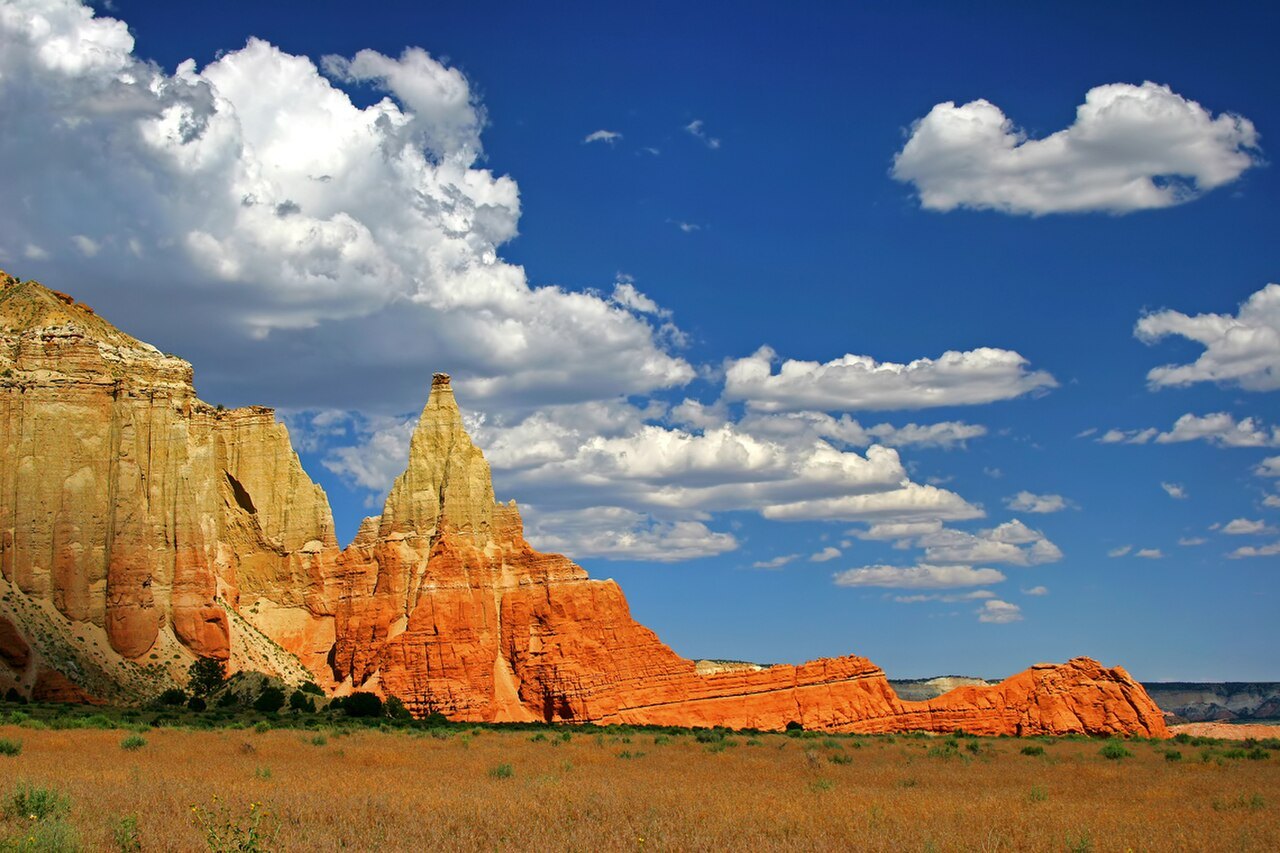 Plate CXLVI
Kodachrome Basin
desertGrand Staircase, near Cannonville, Utah
Stone chimneys named for a color of film.
37.5° N · 112.0° WOpen plate →
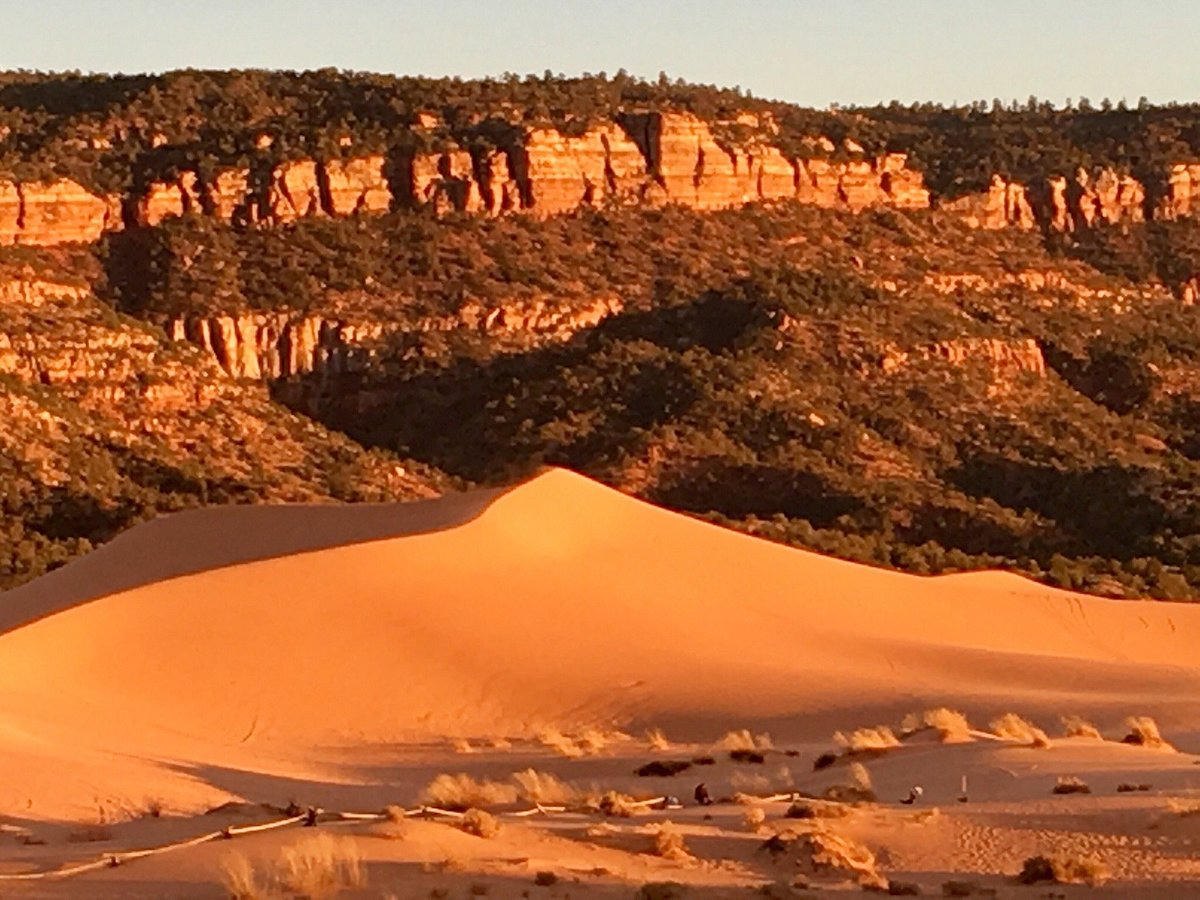 Plate CXLVII
Coral Pink Dunes
dunesouth of Mount Carmel Junction, Utah
Sand that is still the mountain, walking.
37.0° N · 112.7° WOpen plate →
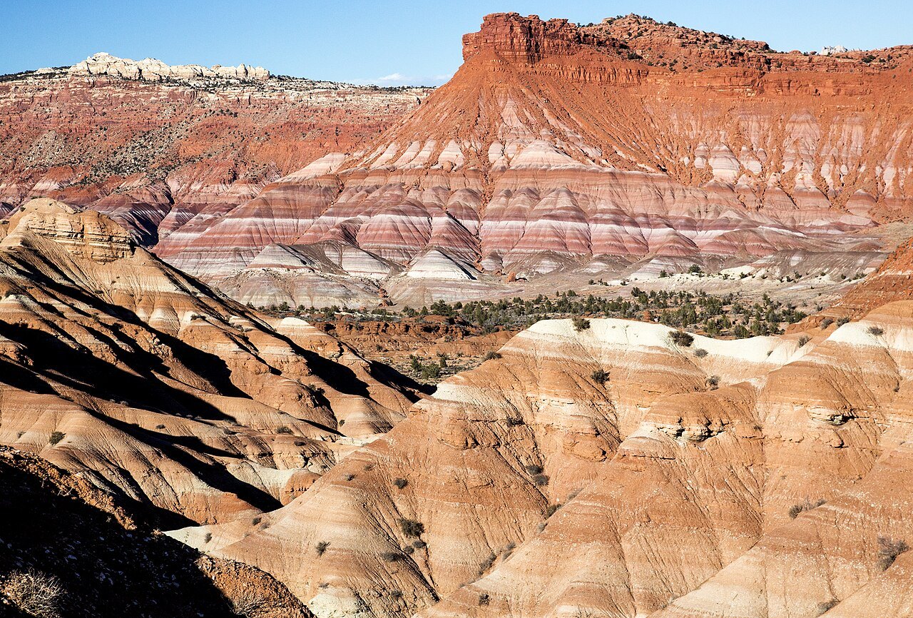 Plate CXLVIII
Calf Creek
canyonGrand Staircase–Escalante, Utah
A waterfall the canyon kept for itself.
37.8° N · 111.4° WOpen plate →
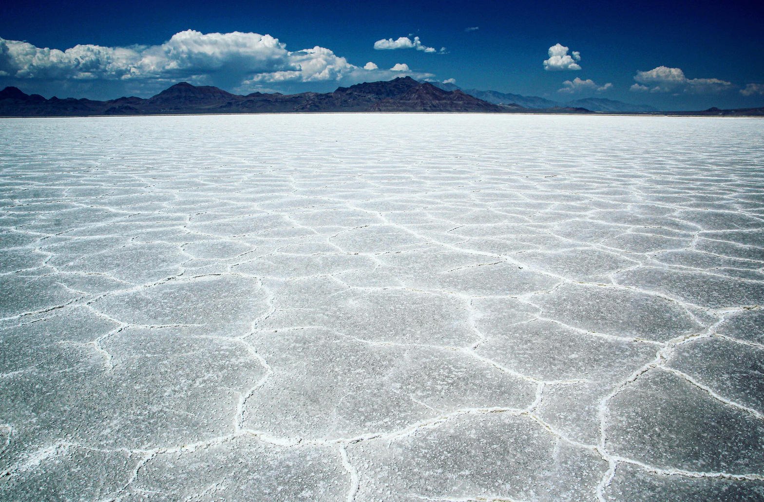 Plate CLII
Bonneville Salt Flats
desertwest of Wendover, Great Salt Lake Desert, Utah
A lake that dried into a sheet of light.
40.8° N · 113.8° WOpen plate →
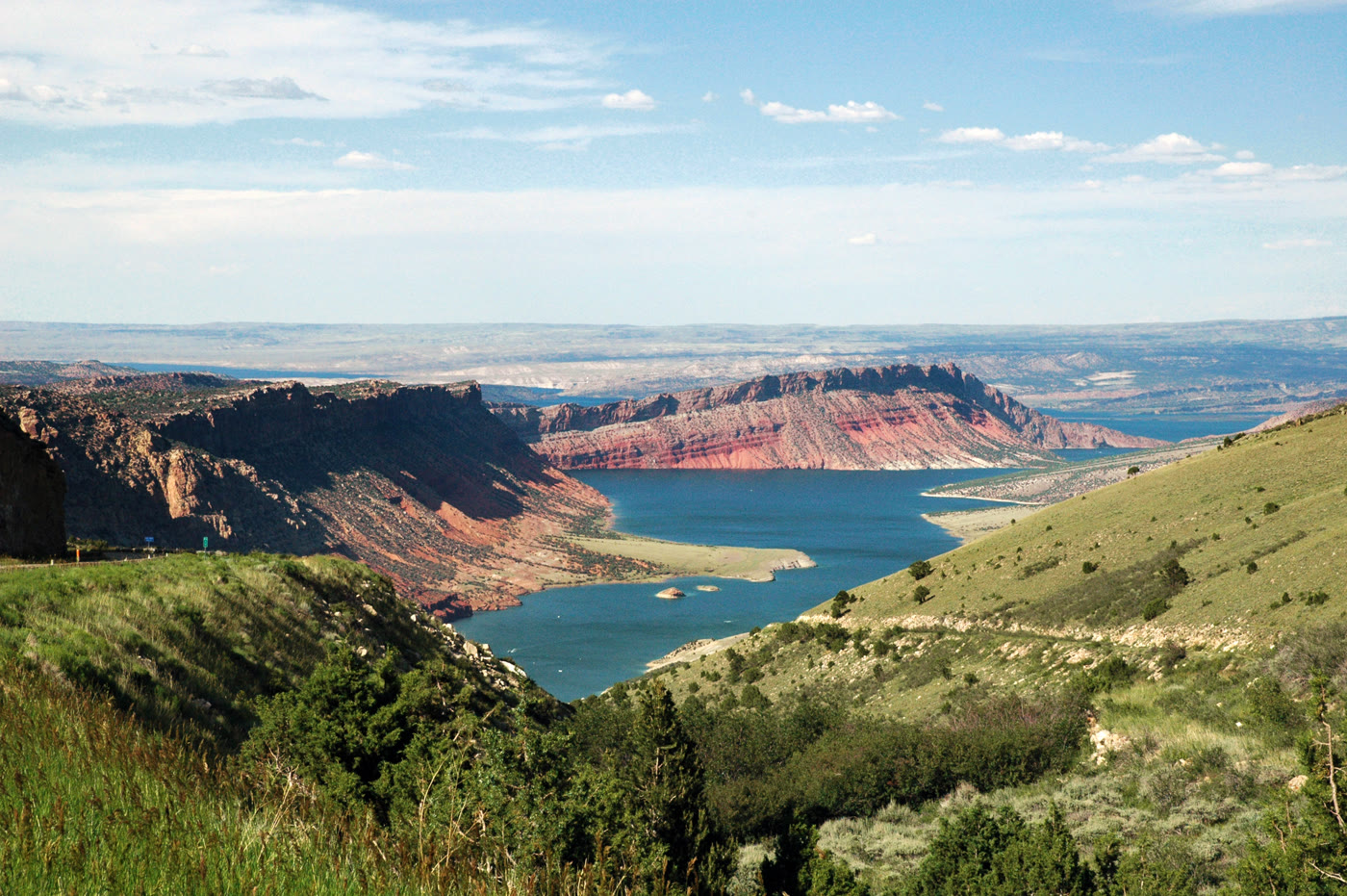 Plate CLXV
Flaming Gorge
canyonFlaming Gorge National Recreation Area, Utah / Wyoming
A red gorge the river turned into a lake.
40.9° N · 109.4° WOpen plate →
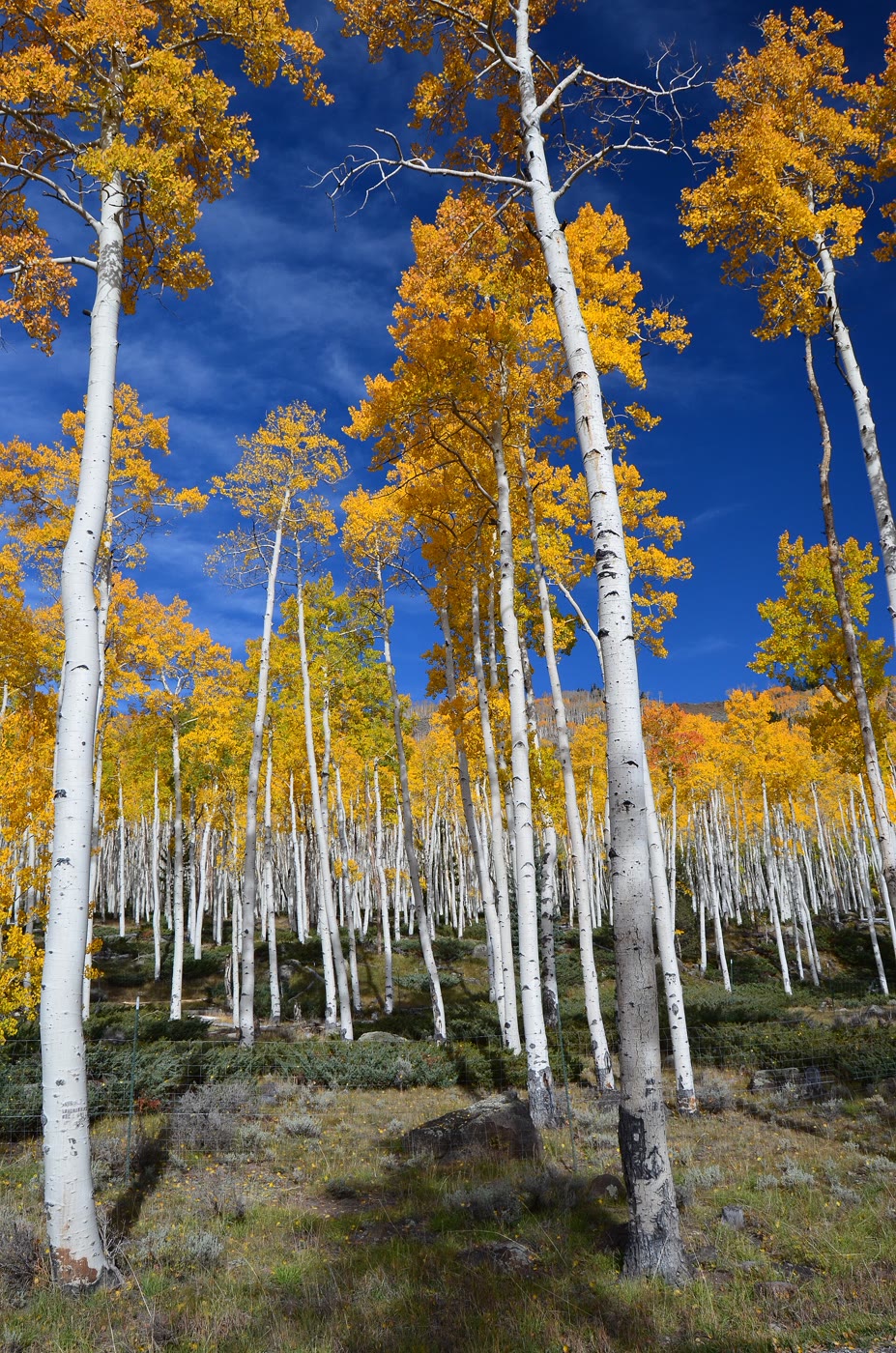 Plate CXCIV
Pando
forestFishlake National Forest, Utah
One tree that learned to be a forest.
38.5° N · 111.7° WOpen plate →
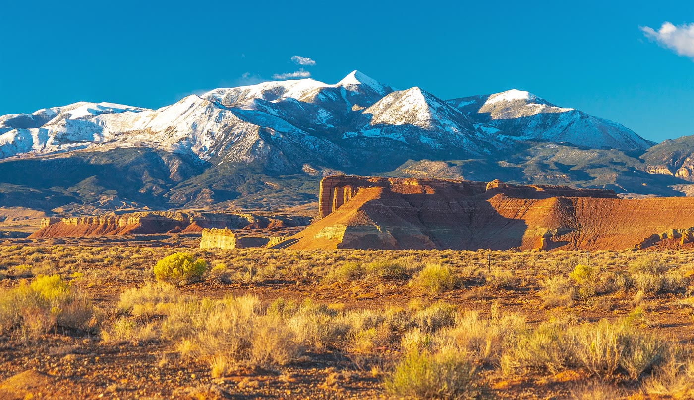 Plate CXCV
Mount Ellen
hillsHenry Mountains, Utah
A mountain that rose alone from the desert floor.
38.1° N · 110.8° WOpen plate →
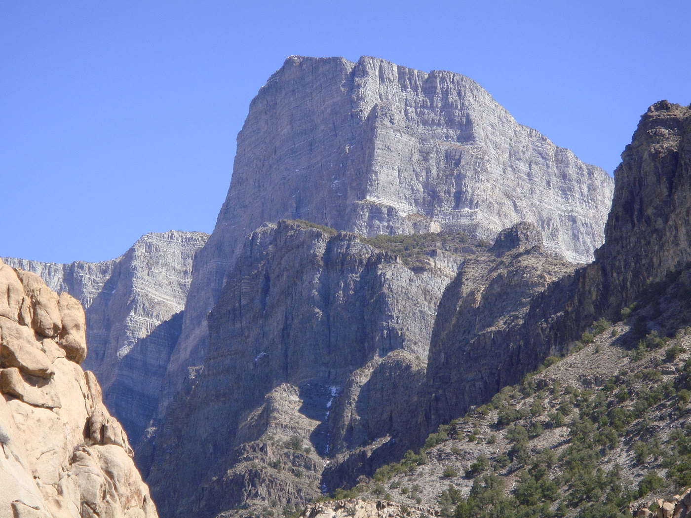 Plate CXCVI
Notch Peak
desertHouse Range, west of Delta, Utah
A limestone wall the desert stood on end.
39.1° N · 113.4° WOpen plate →
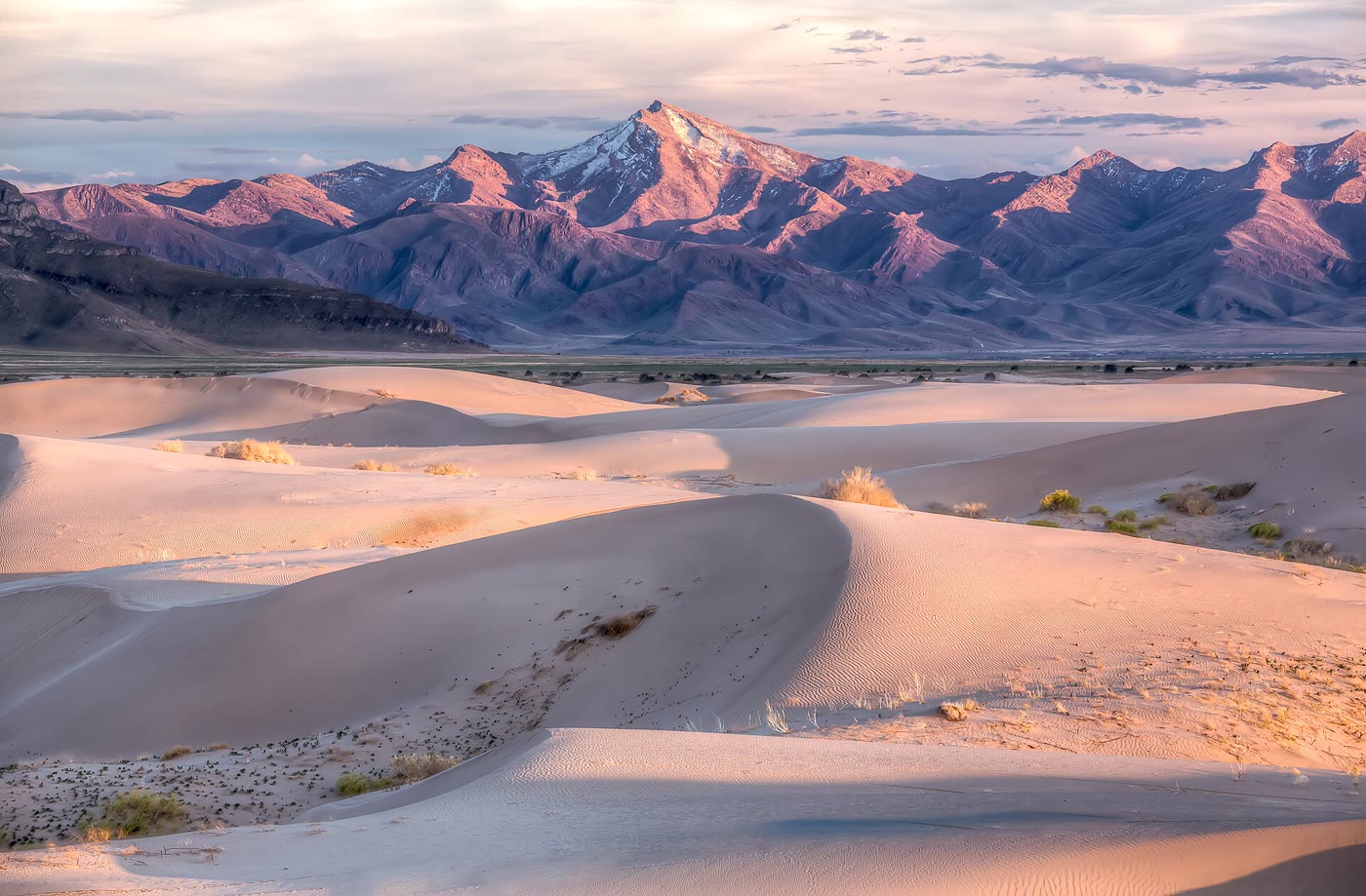 Plate CXCVII
Little Sahara
duneSevier Desert, Utah
A small Sahara the basin kept.
39.7° N · 112.3° WOpen plate →
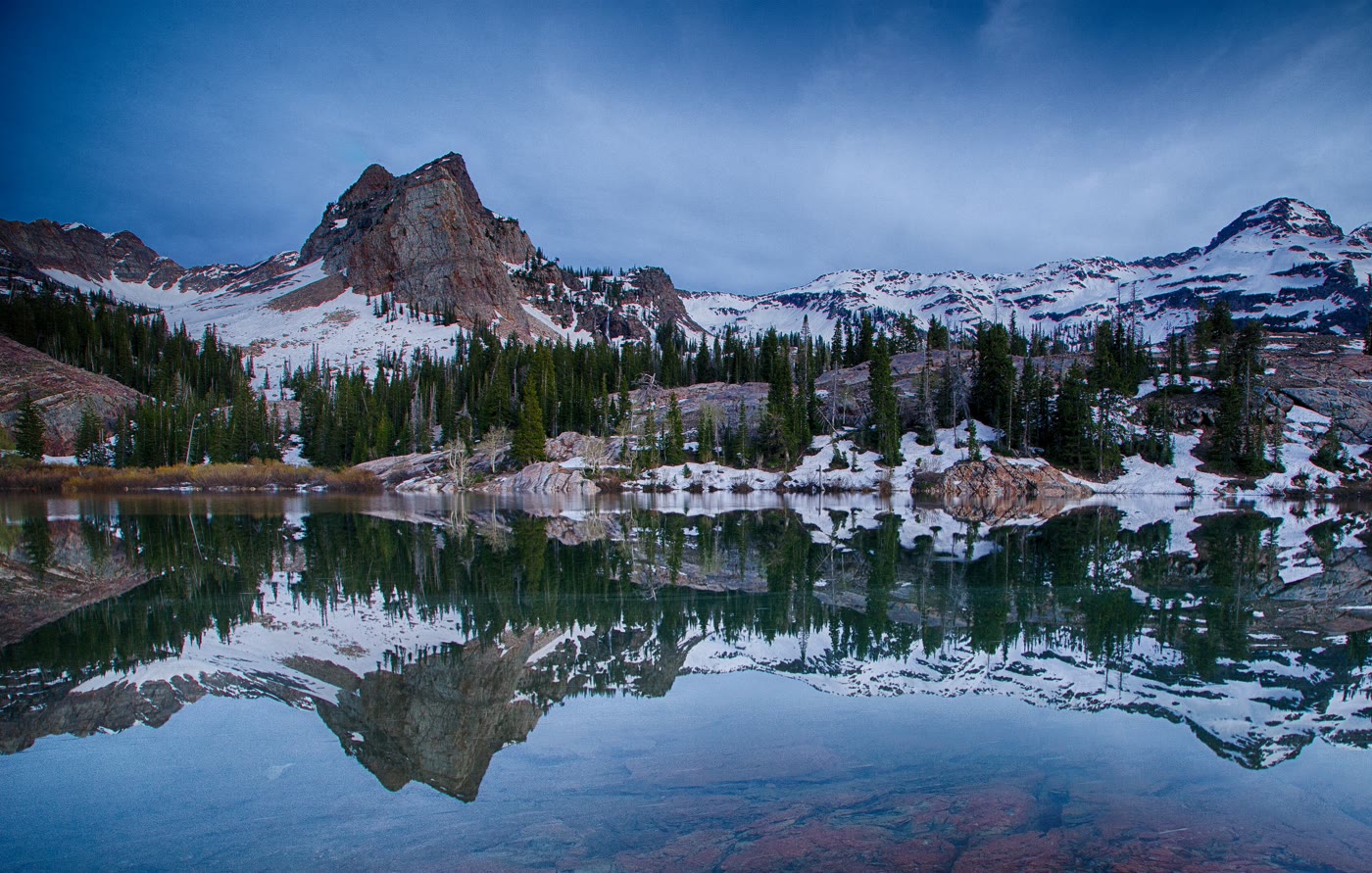 Plate CXCVIII
Lake Blanche
alpineTwin Peaks Wilderness, Big Cottonwood Canyon, Utah
Sundial held in a still bowl.
40.6° N · 111.7° WOpen plate →
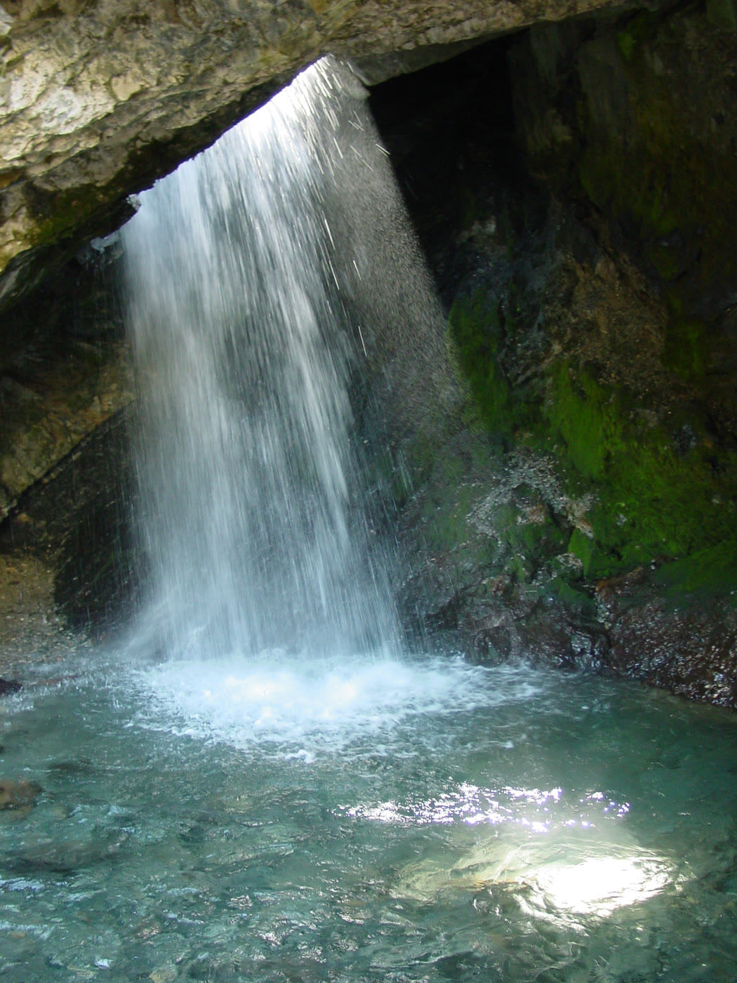 Plate CXCIX
Donut Falls
forestBig Cottonwood Canyon, Utah
A fall the rock learned to pour through a hole.
40.6° N · 111.7° WOpen plate →
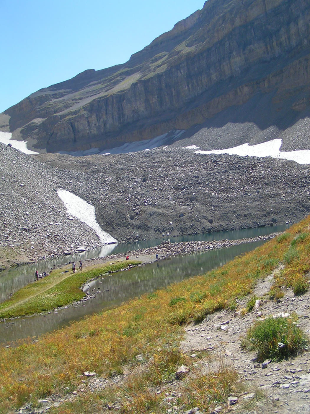 Plate CC
Emerald Lake
alpineTimpanogos Basin, Utah
A green bowl under the Timp wall.
40.4° N · 111.7° WOpen plate →
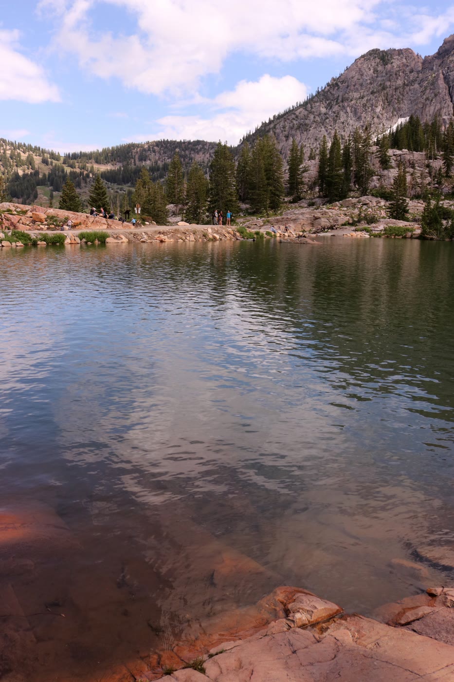 Plate CCI
Cecret Lake
alpineAlbion Basin, Utah
A secret the basin spelled its own way.
40.6° N · 111.6° WOpen plate →
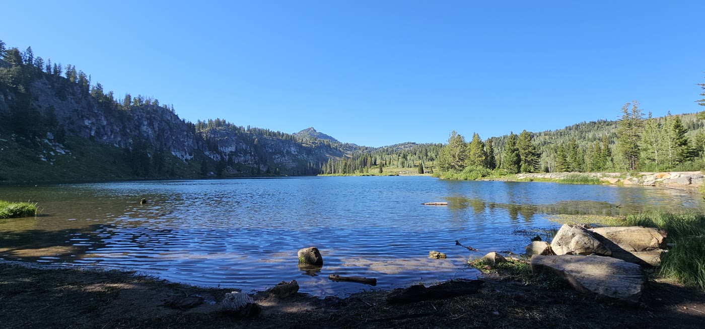 Plate CCII
Tony Grove Lake
alpineBear River Range, Utah
Limestone over a still northern lake.
41.9° N · 111.6° WOpen plate →
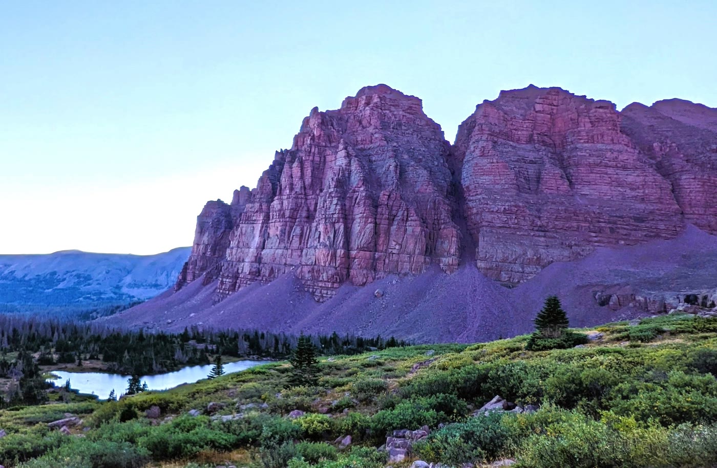 Plate CCIII
Red Castle
alpineHigh Uintas Wilderness, Utah
A quartzite keep above its own lake.
40.8° N · 110.5° WOpen plate →
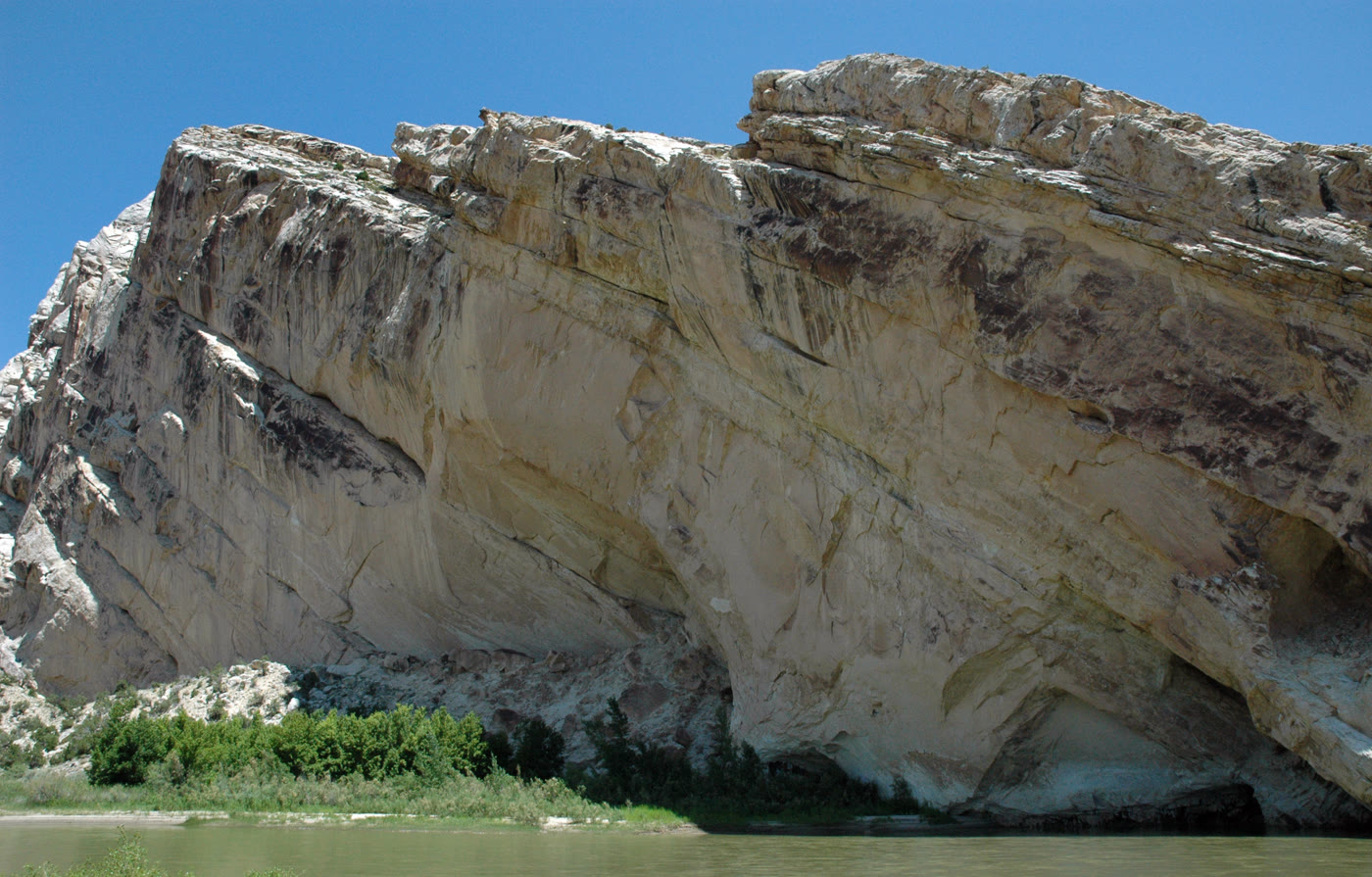 Plate CCIV
Split Mountain
canyonDinosaur National Monument, Jensen, Utah
A mountain the river learned to cut in two.
40.4° N · 109.3° WOpen plate →
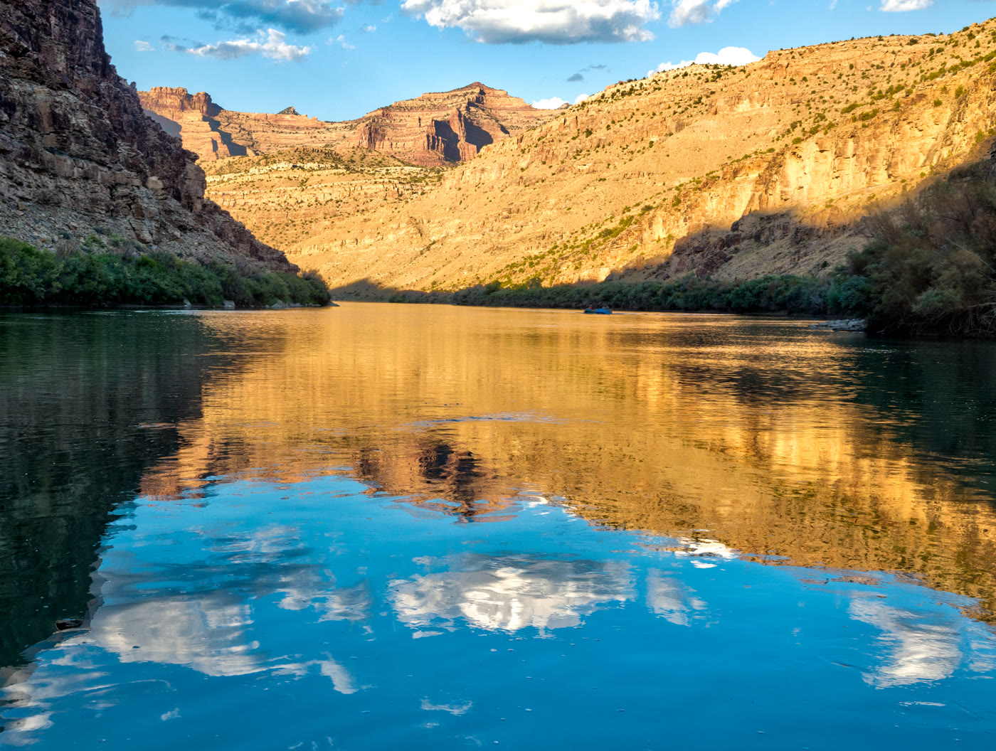 Plate CCV
Desolation Canyon
canyonGreen River, Utah
A river that kept its own distance.
39.5° N · 110.0° WOpen plate →
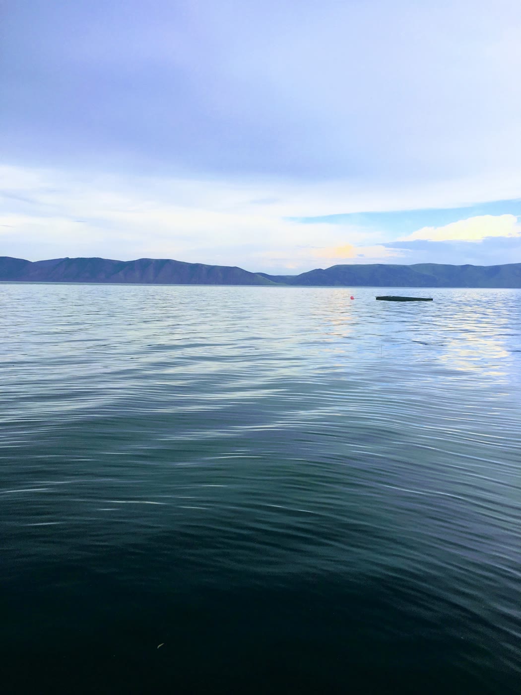 Plate CCVI
Bear Lake
wetlandUtah–Idaho line, Utah
A lake that learned a Caribbean blue.
41.9° N · 111.4° WOpen plate →
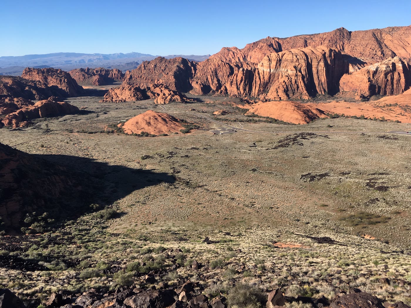 Plate CCVII
Snow Canyon
canyonSnow Canyon State Park, Utah
Red stone and a black river of rock.
37.2° N · 113.6° WOpen plate →
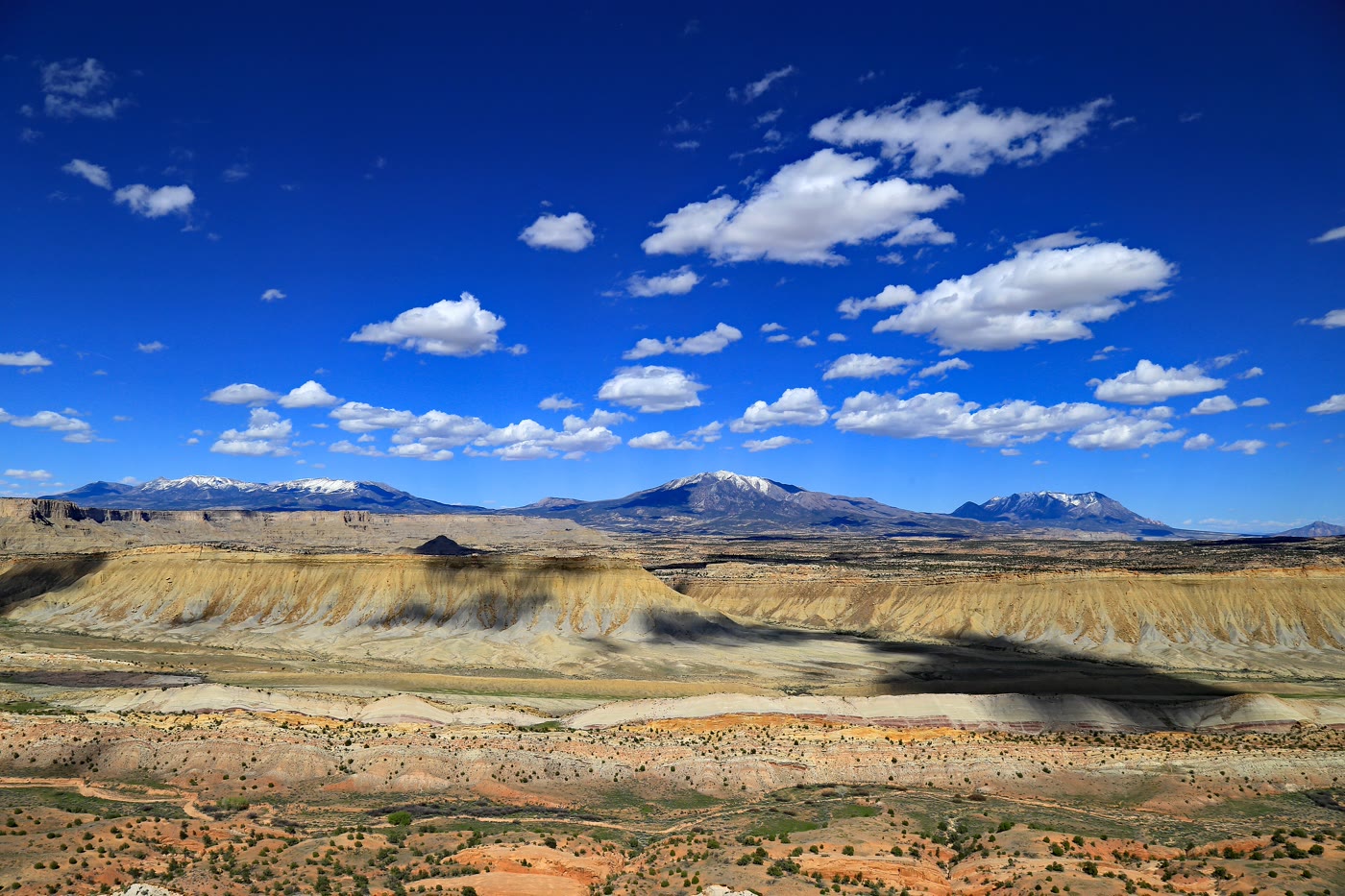 Plate CCVIII
Waterpocket Fold
canyonStrike Valley Overlook, Capitol Reef, Utah
A hundred miles of stone stood on edge.
37.8° N · 111.0° WOpen plate →
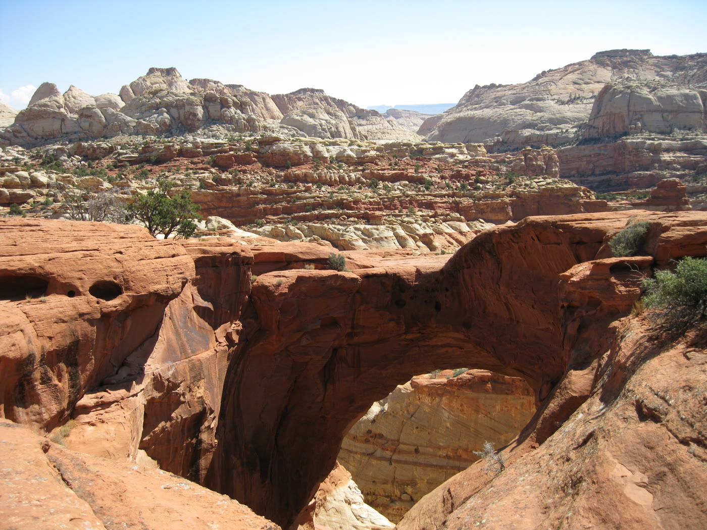 Plate CCIX
Cassidy Arch
canyonCapitol Reef National Park, Utah
An arch you look down through.
38.3° N · 111.2° WOpen plate →
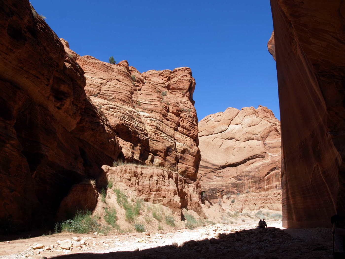 Plate CCX
Buckskin Gulch
canyonParia Canyon–Vermilion Cliffs, Utah
A slot that does not end soon.
37.0° N · 112.0° WOpen plate →
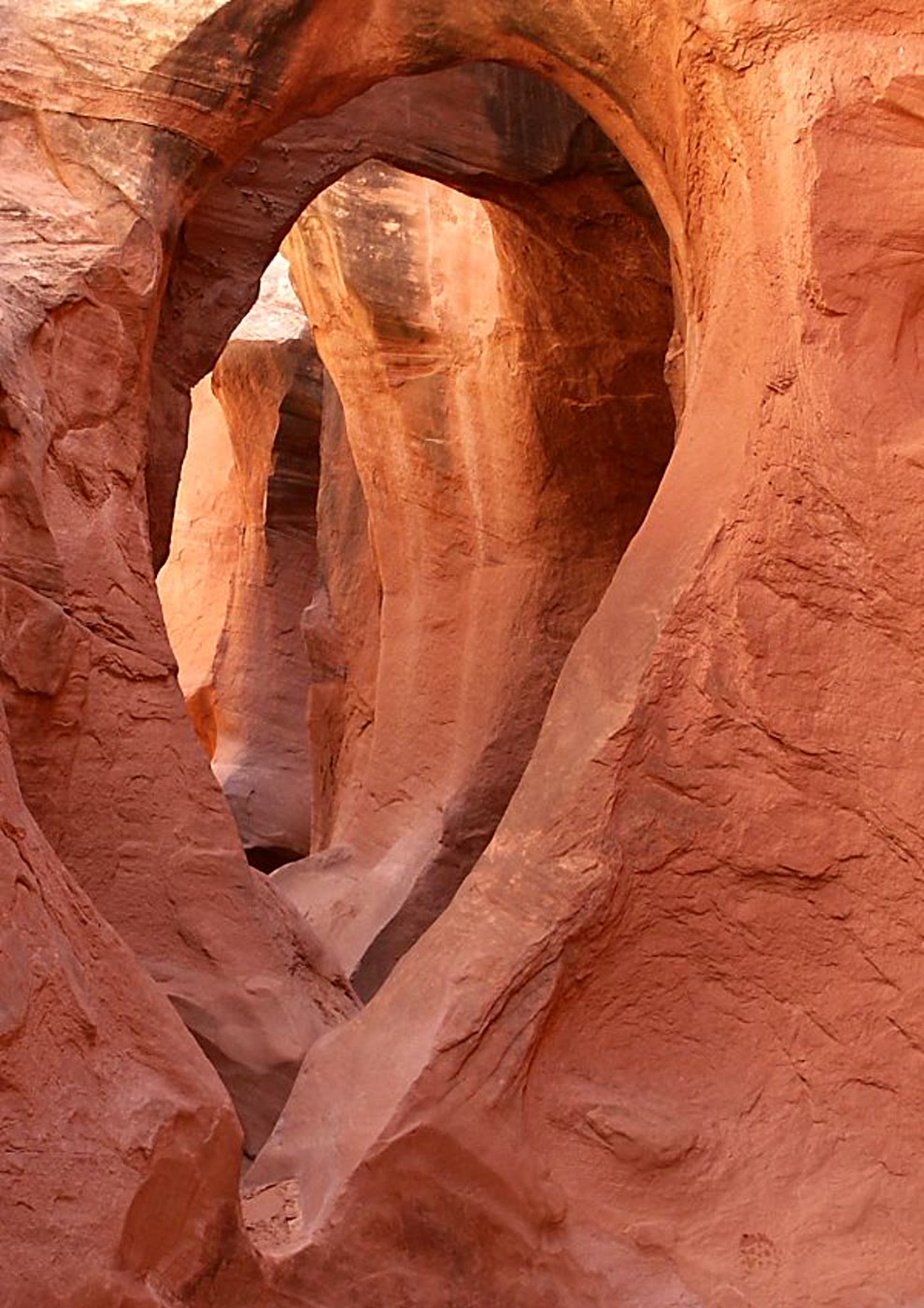 Plate CCXI
Peekaboo Gulch
canyonDry Fork of Coyote Gulch, GSENM, Utah
A window the slot kept for itself.
37.5° N · 111.2° WOpen plate →
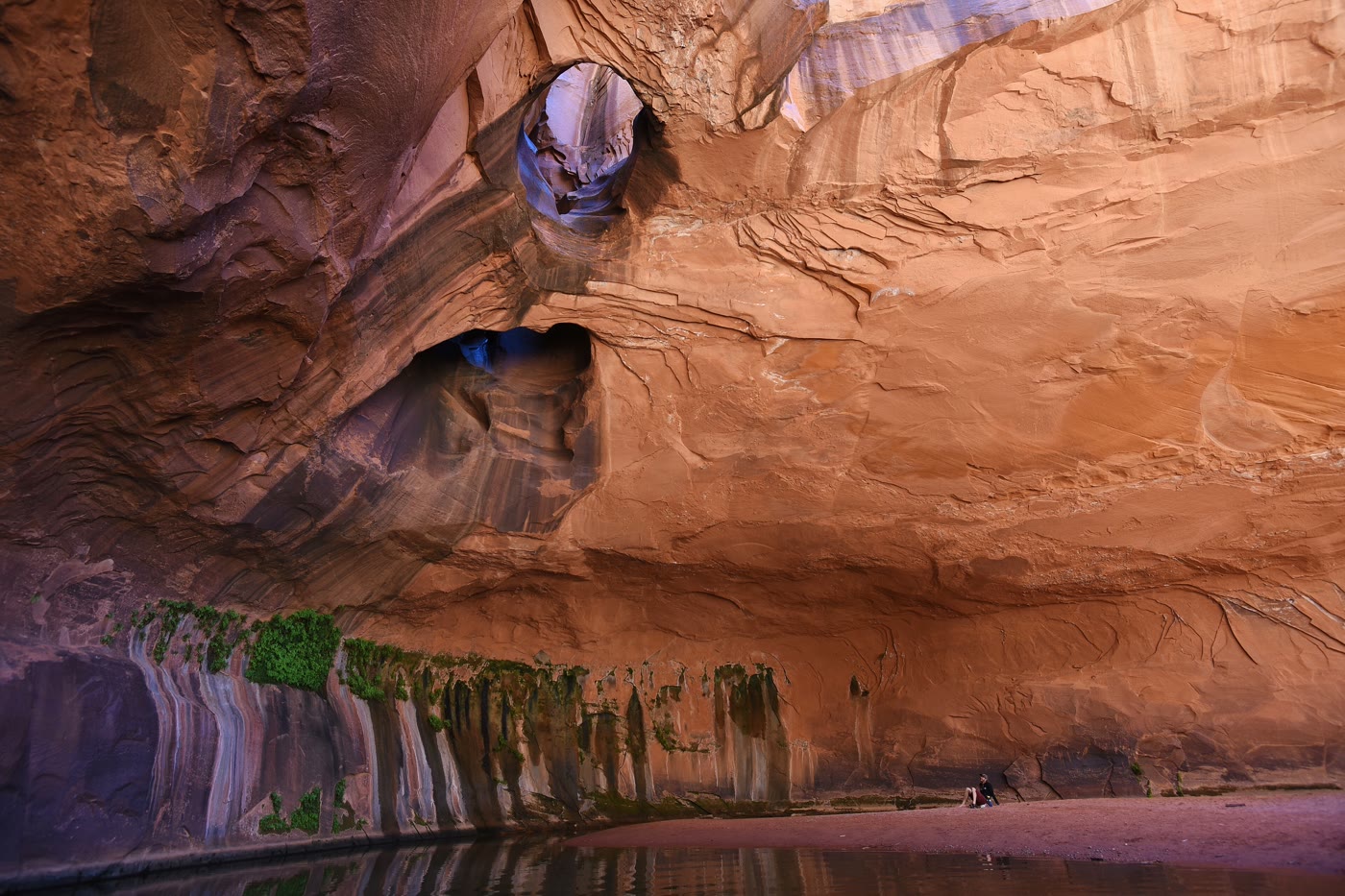 Plate CCXII
Golden Cathedral
canyonNeon Canyon, Glen Canyon NRA, Utah
A room the potholes lit from above.
37.7° N · 111.0° WOpen plate →
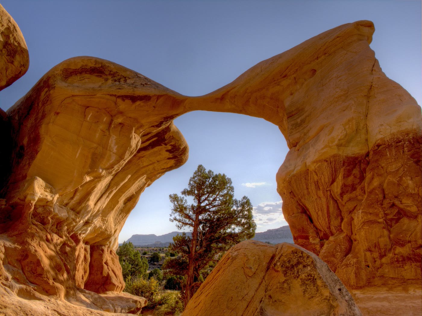 Plate CCXIII
Metate Arch
canyonDevil's Garden, Grand Staircase–Escalante, Utah
A blade of stone the wind left standing.
37.6° N · 111.4° WOpen plate →
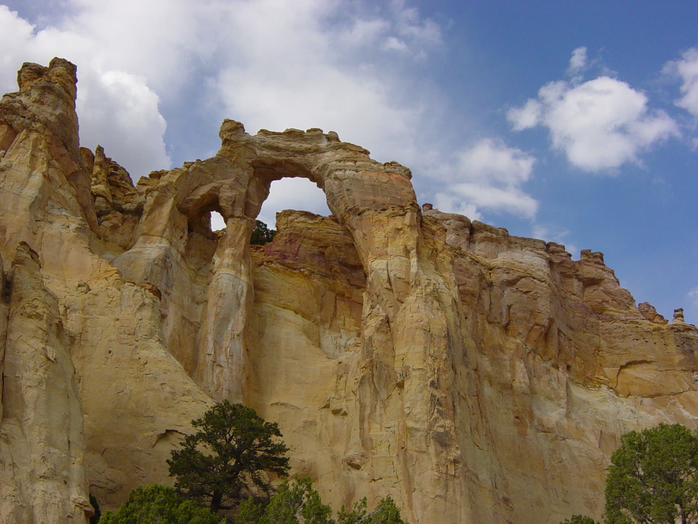 Plate CCXIV
Grosvenor Arch
canyonGrand Staircase–Escalante, Utah
Two windows in one cream wall.
37.5° N · 111.8° WOpen plate →
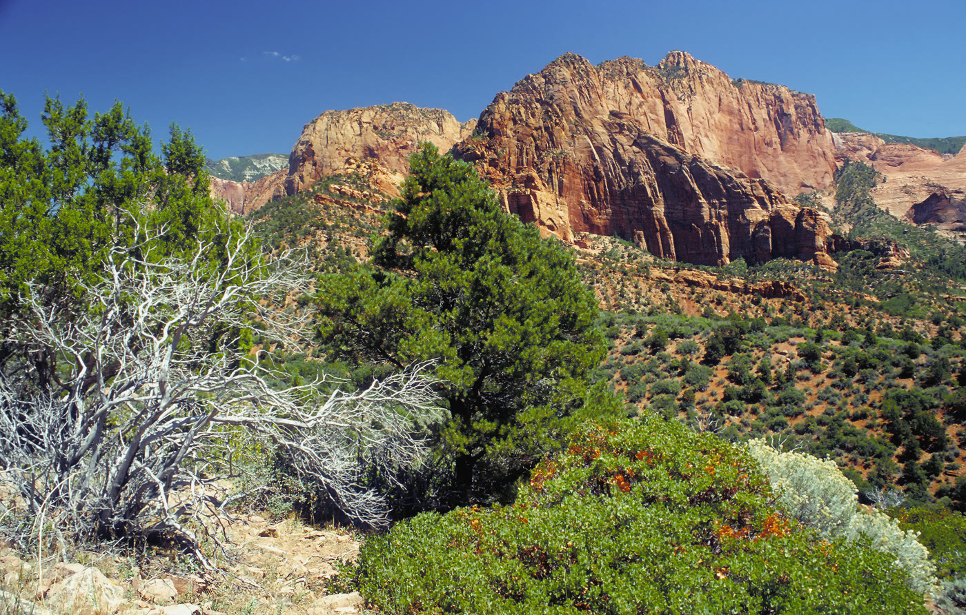 Plate CCXV
Kolob Canyons
canyonZion National Park, north, Utah
Zion’s north wall, fingered into the plateau.
37.4° N · 113.2° WOpen plate →
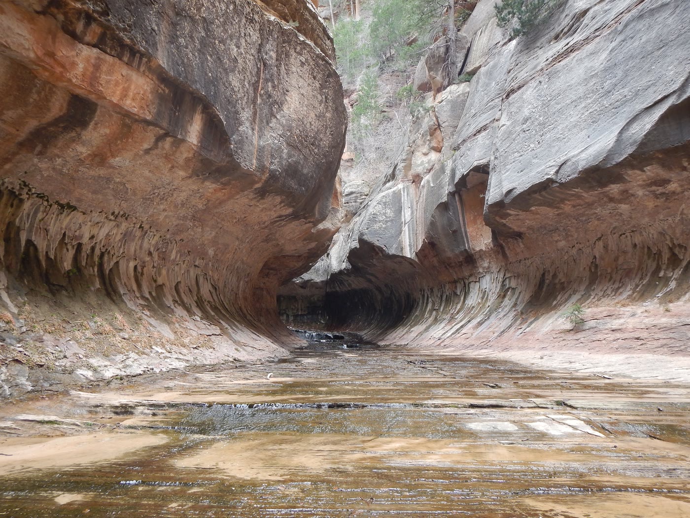 Plate CCXVI
The Subway
canyonLeft Fork of North Creek, Zion, Utah
A tunnel the creek carved and kept.
37.3° N · 113.1° WOpen plate →
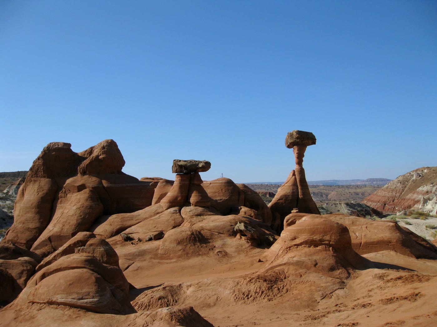 Plate CCXVII
Toadstool Hoodoos
desertParia Rimrocks, Utah
Capstones the rimrocks learned to balance.
37.5° N · 111.9° WOpen plate →
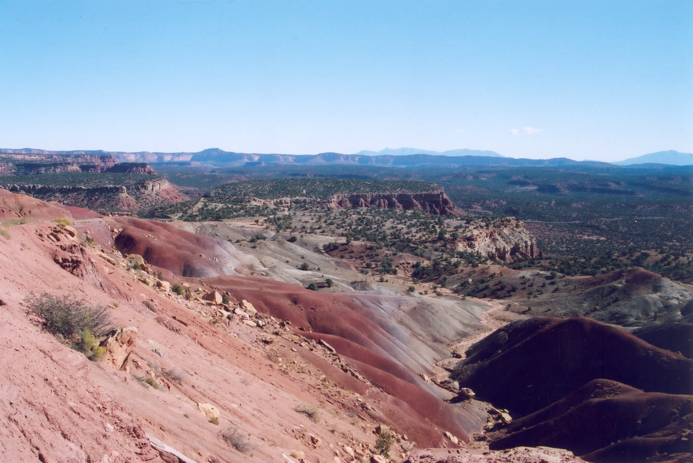 Plate CCXVIII
Burr Trail
hillsCircle Cliffs, Utah
A backway that looks down on its own hills.
37.9° N · 111.3° WOpen plate →
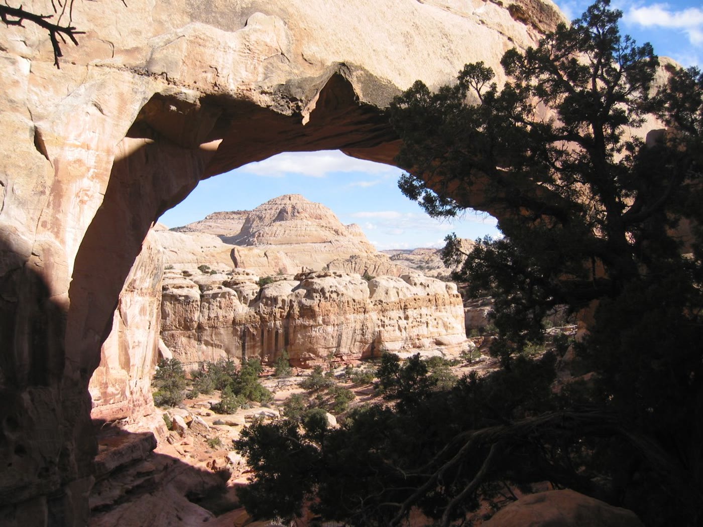 Plate CCXIX
Hickman Bridge
canyonCapitol Reef National Park, Utah
A cream bridge the wash walked under.
38.3° N · 111.2° WOpen plate →
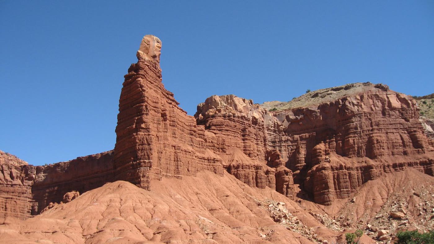 Plate CCXX
Chimney Rock, Capitol Reef
canyonCapitol Reef National Park, Utah
A chimney the Reef stood alone.
38.3° N · 111.3° WOpen plate →
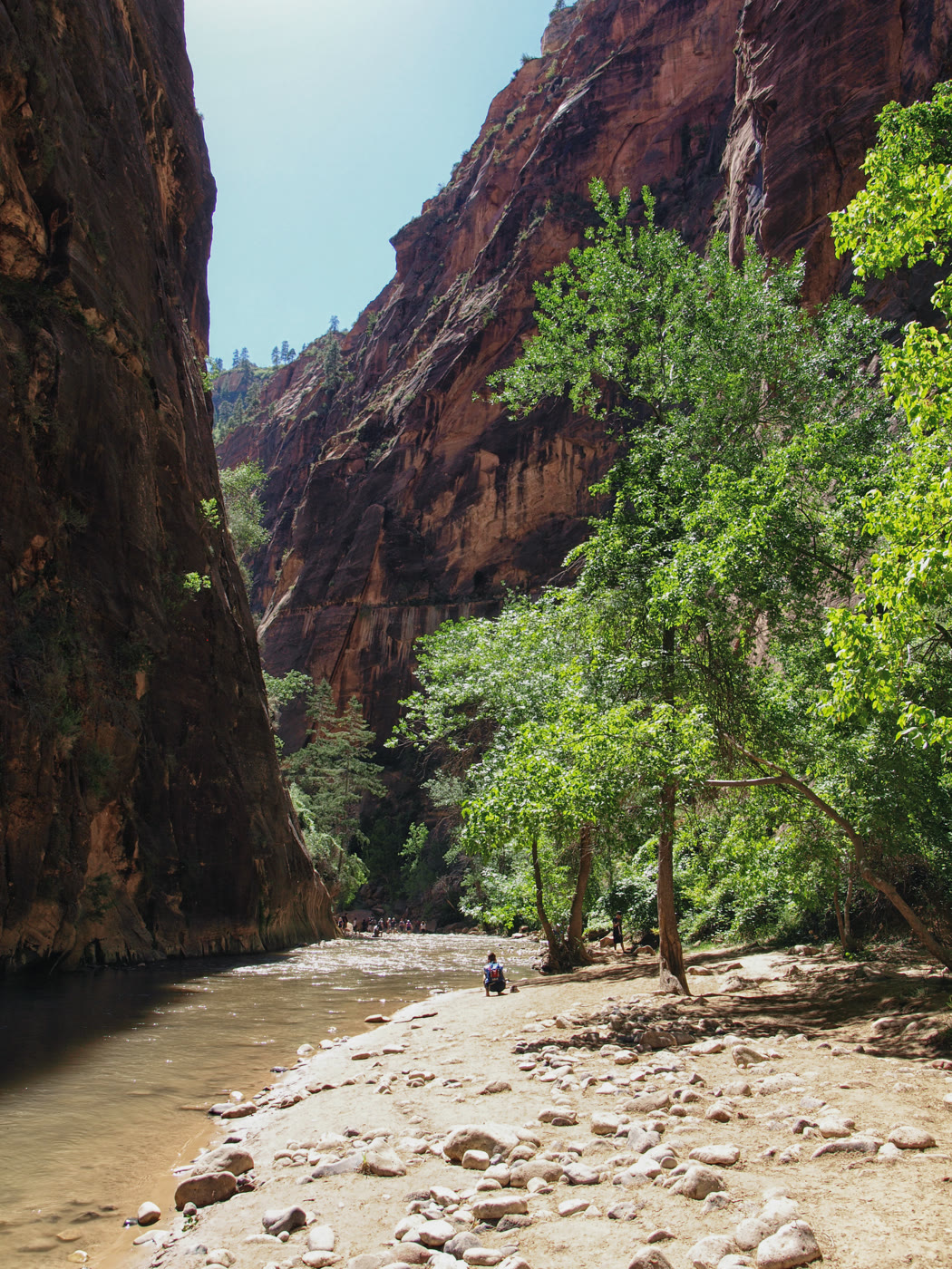 Plate CCXXI
The Narrows
canyonNorth Fork Virgin River, Zion, Utah
A cathedral you walk in the river.
37.3° N · 112.9° WOpen plate →
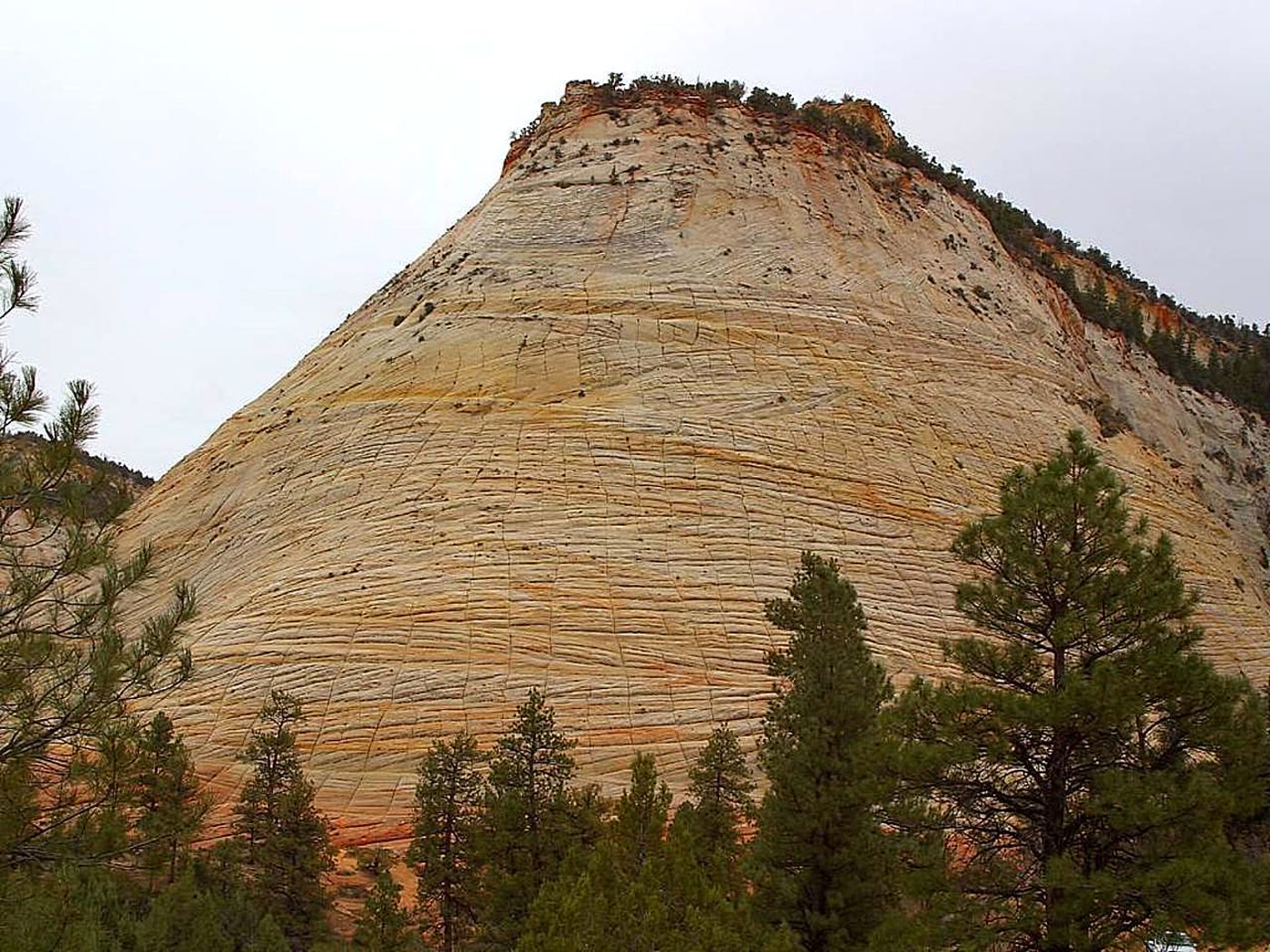 Plate CCXXII
Checkerboard Mesa
hillsZion National Park, east, Utah
A hill the stone ruled into squares.
37.2° N · 112.9° WOpen plate →
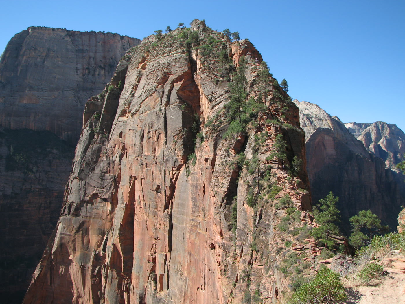 Plate CCXXIII
Angels Landing
canyonZion Canyon, Utah
A ridge that keeps only as much path as it must.
37.3° N · 112.9° WOpen plate →
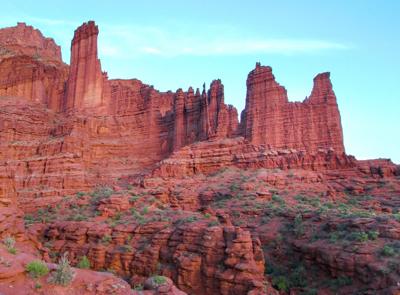 Plate CCXXIV
Fisher Towers
hillsCastle Valley, Utah
Towers the valley kept like a skyline.
38.7° N · 109.3° WOpen plate →
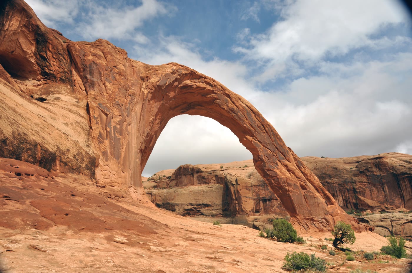 Plate CCXXV
Corona Arch
canyonMoab backcountry, Utah
A crown the cliff wore and opened.
38.6° N · 109.6° WOpen plate →
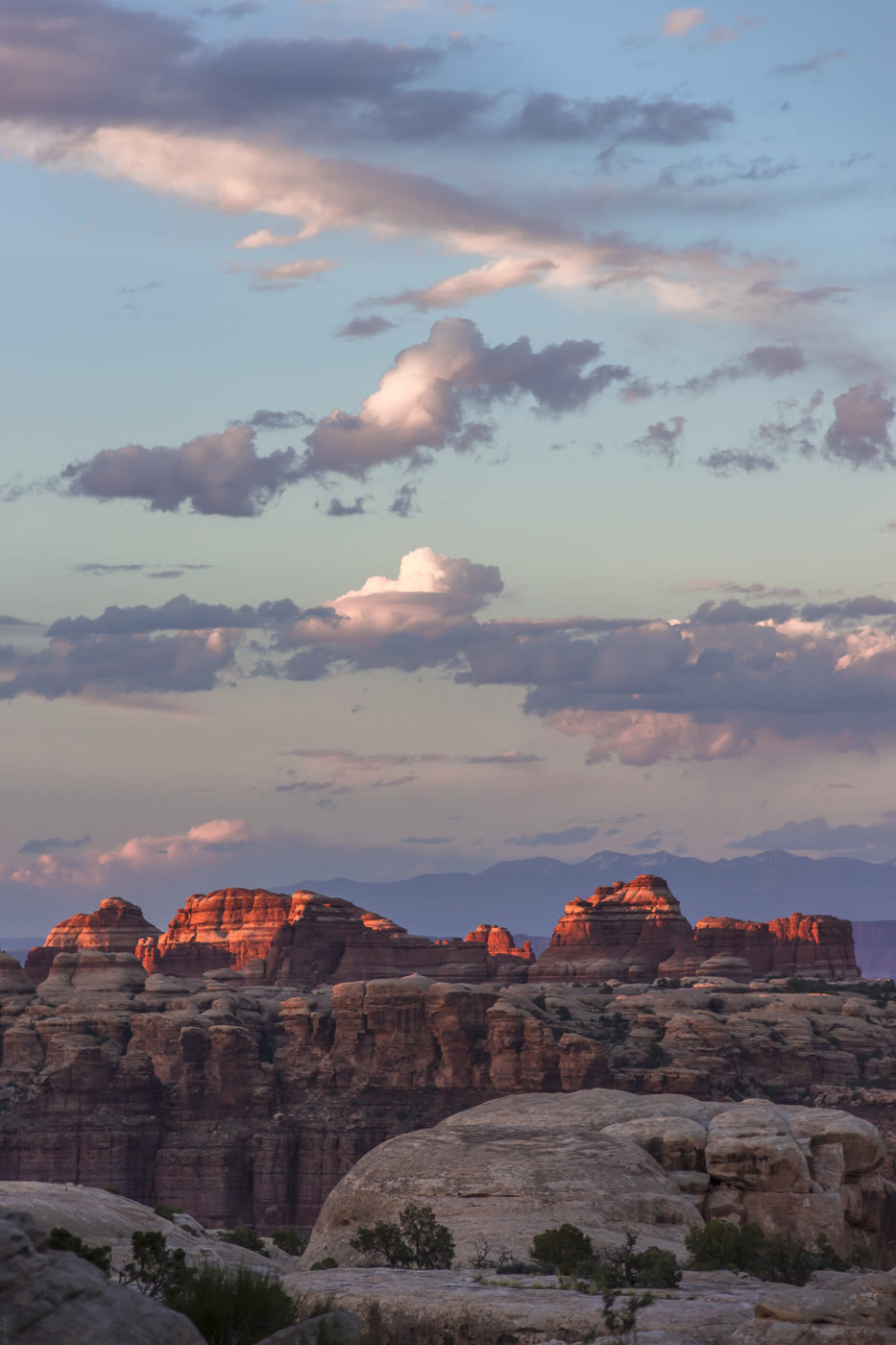 Plate CCXXVI
The Doll House
canyonThe Maze, Canyonlands, Utah
A room of stone figures the Maze kept.
38.2° N · 109.9° WOpen plate →
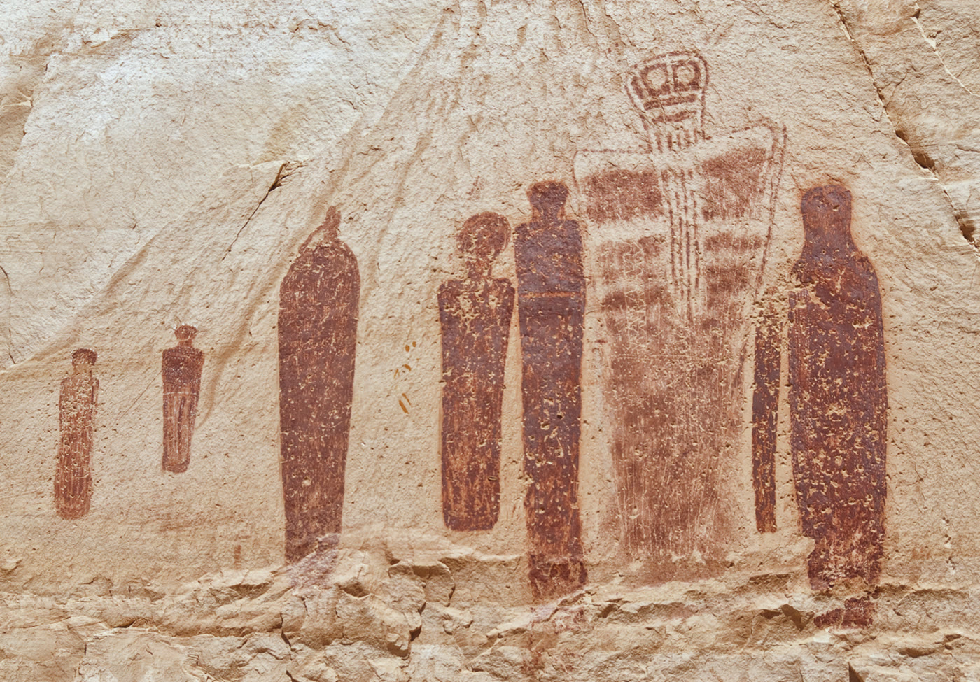 Plate CCXXVII
Great Gallery
canyonHorseshoe Canyon, Canyonlands, Utah
Figures the canyon has held for a very long time.
38.5° N · 110.2° WOpen plate →
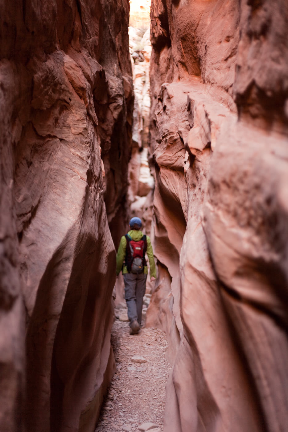 Plate CCXXVIII
Little Wild Horse Canyon
canyonSan Rafael Swell, Utah
A narrow walk the Swell cut for a horse.
38.6° N · 110.8° WOpen plate →
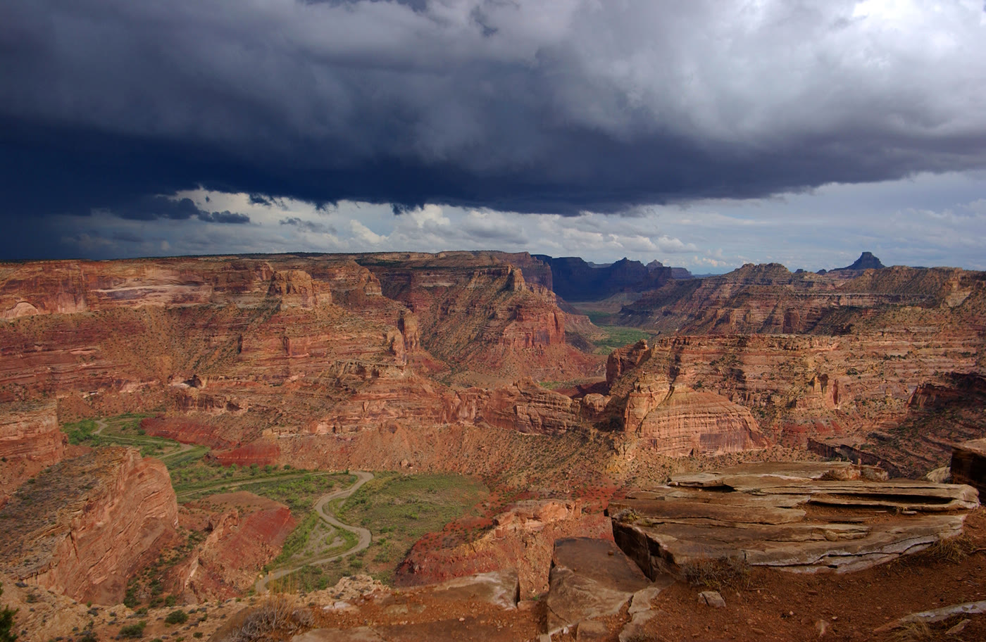 Plate CCXXIX
The Wedge Overlook
canyonSan Rafael Swell, Utah
A little Grand Canyon the Swell kept.
39.1° N · 110.7° WOpen plate →
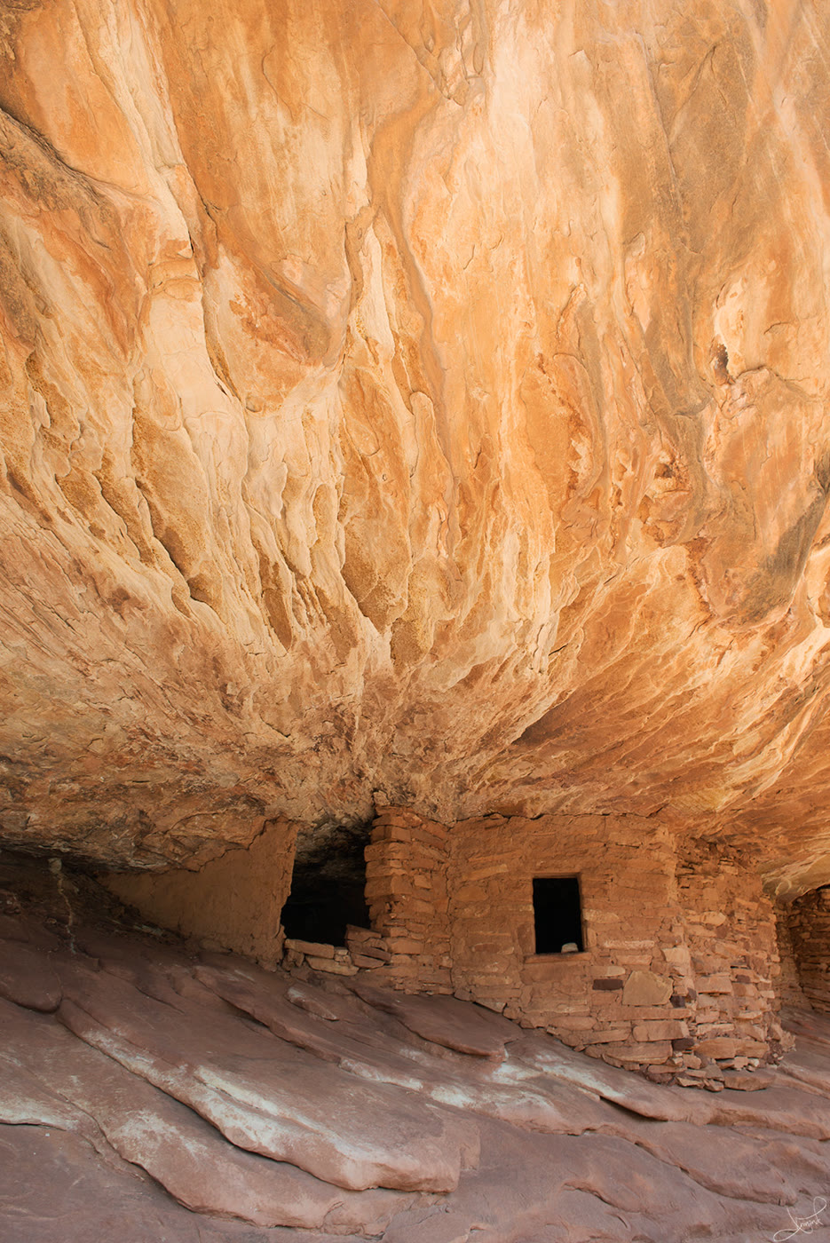 Plate CCXXX
House on Fire
canyonMule Canyon, Utah
Rooms the ceiling still seems to warm.
37.5° N · 109.7° WOpen plate →
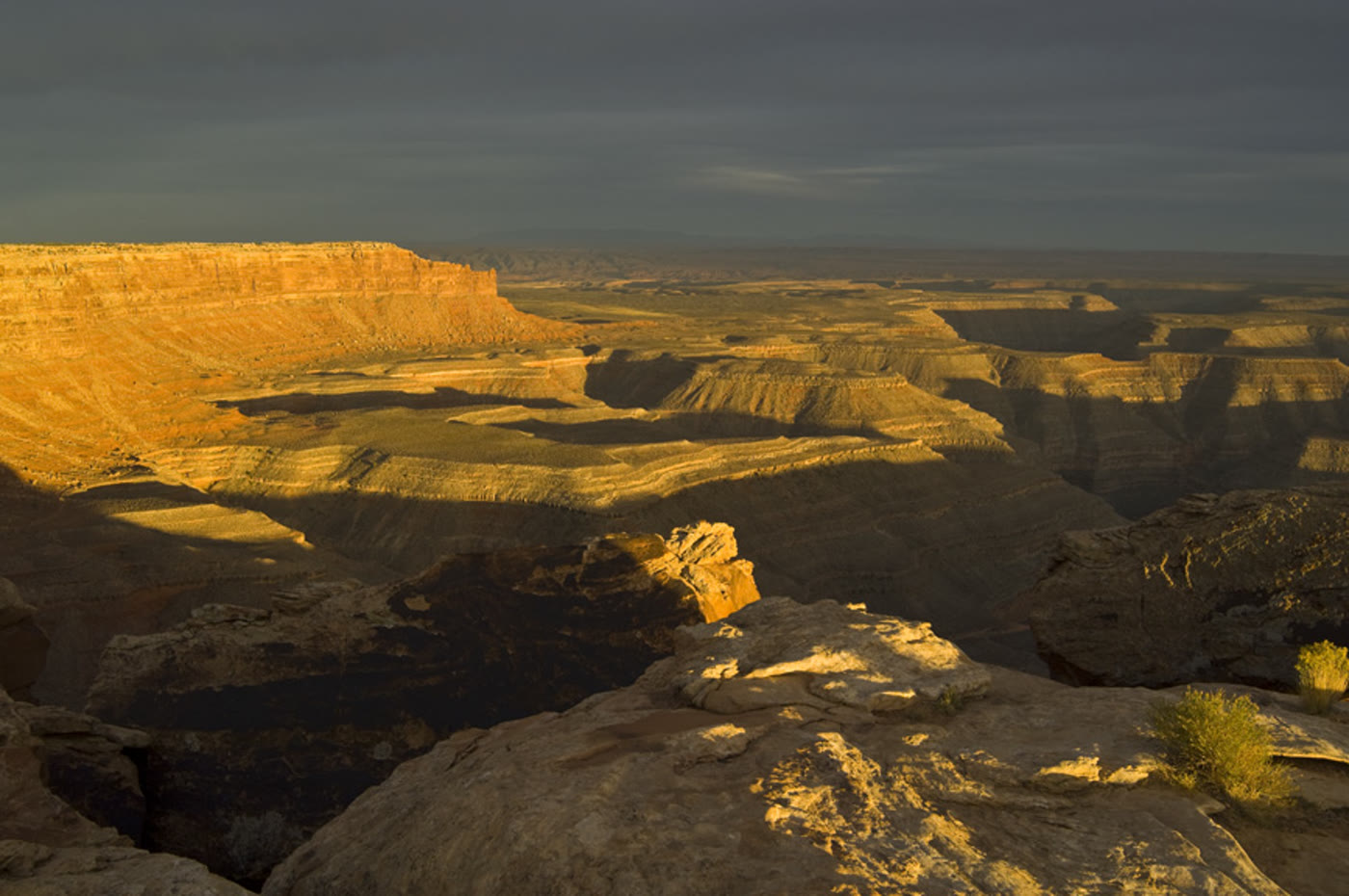 Plate CCXXXI
Muley Point
canyonCedar Mesa rim, Utah
A rim that looks past the river’s turns.
37.2° N · 110.0° WOpen plate →
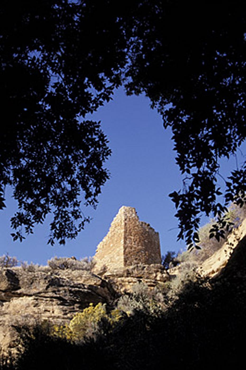 Plate CCXXXII
Hovenweep Square Tower
canyonHovenweep National Monument, Utah
Towers a community set on the rim.
37.4° N · 109.1° WOpen plate →
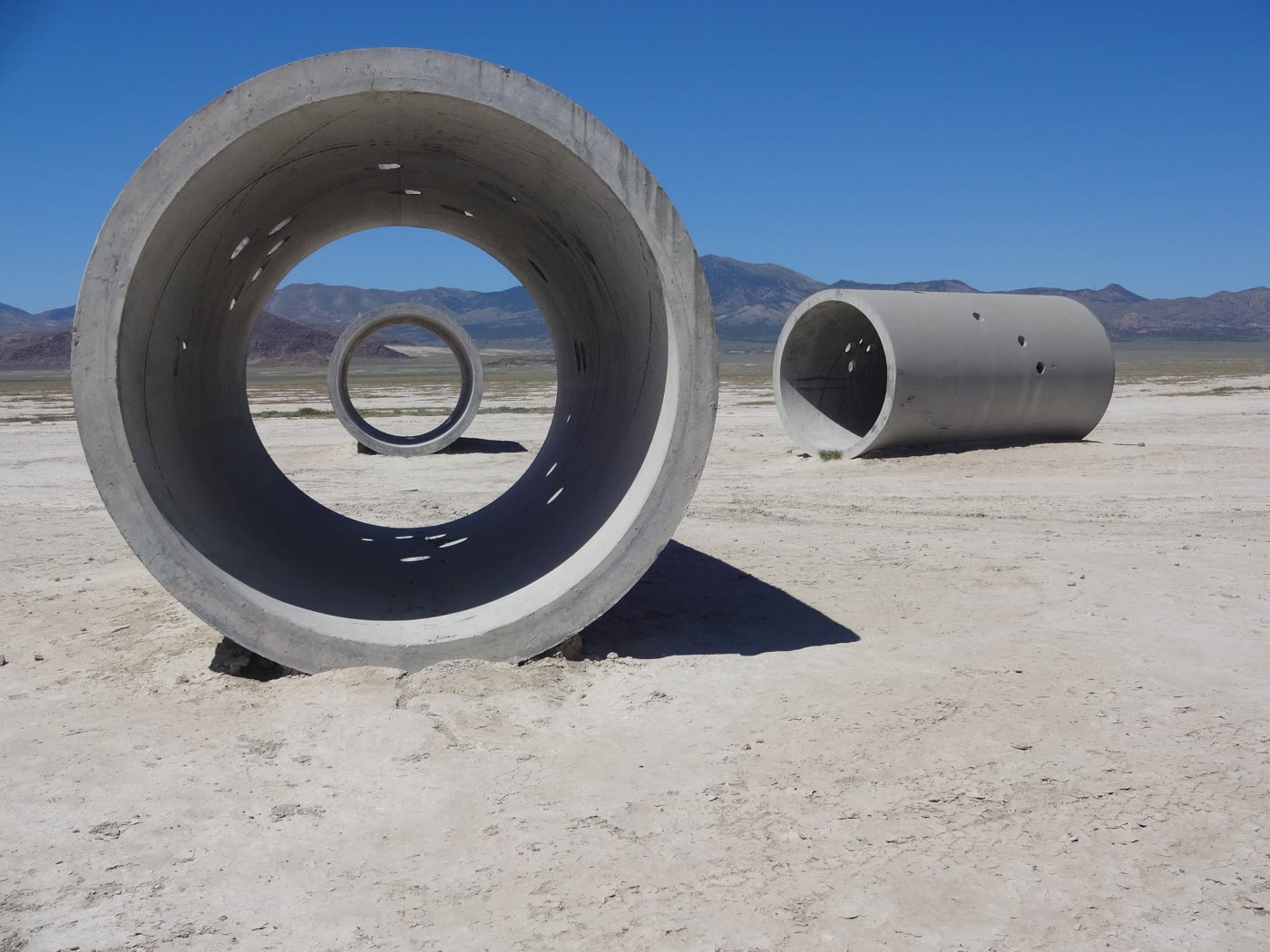 Plate CCXXXIII
Sun Tunnels
desertLucin, Utah
Four tunnels that keep the sun’s appointments.
41.3° N · 113.9° WOpen plate →
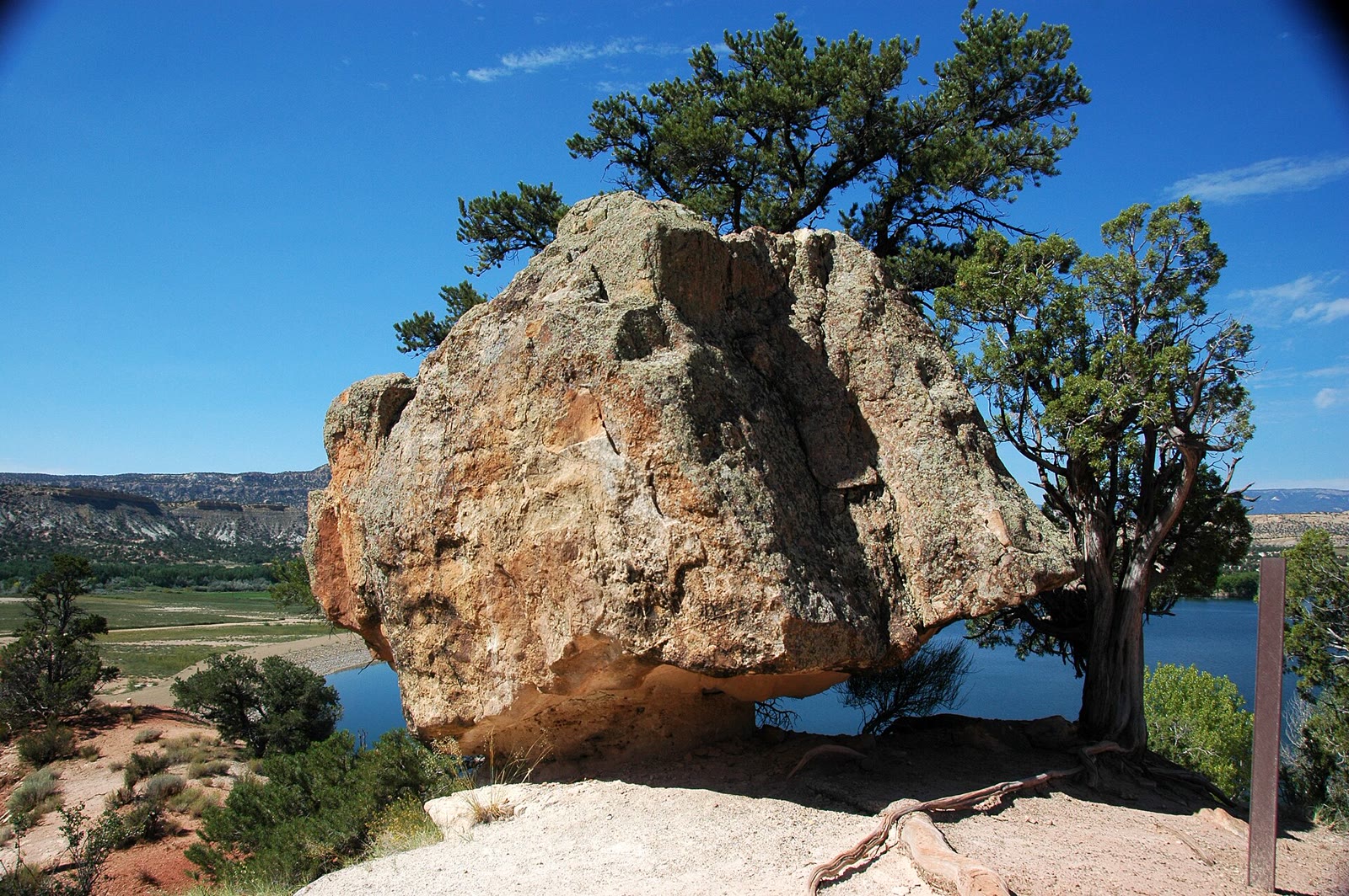 Plate CCLXXVI
Escalante Petrified Forest
desertWide Hollow, Escalante, Utah
A small forest the desert turned to stone.
37.8° N · 111.6° WOpen plate →
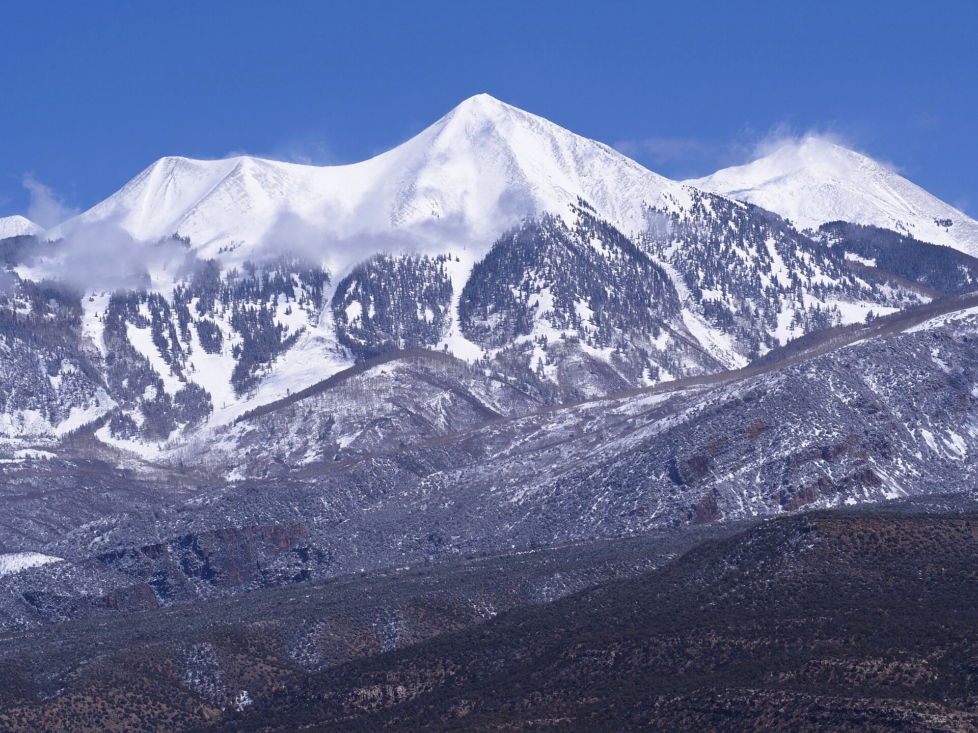 Plate CCLXXXIV
La Sal Mountains
alpineManti-La Sal NF, southeast of Moab, Utah
Snow peaks standing out of a desert sea.
38.4° N · 109.2° WOpen plate →
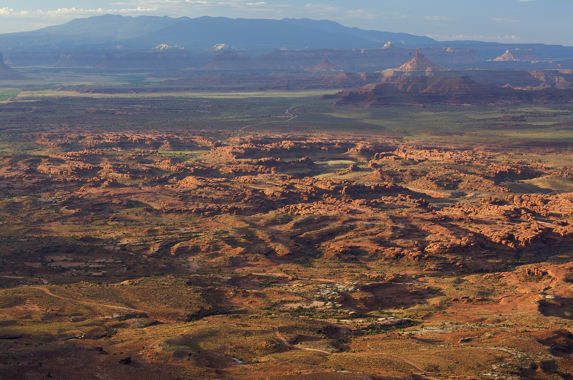 Plate CCCXXV
Needles Overlook
canyonCanyon Rims Recreation Area, Hatch Point, Utah
A Hatch Point balcony over a city of striped stone.
38.3° N · 109.7° WOpen plate →
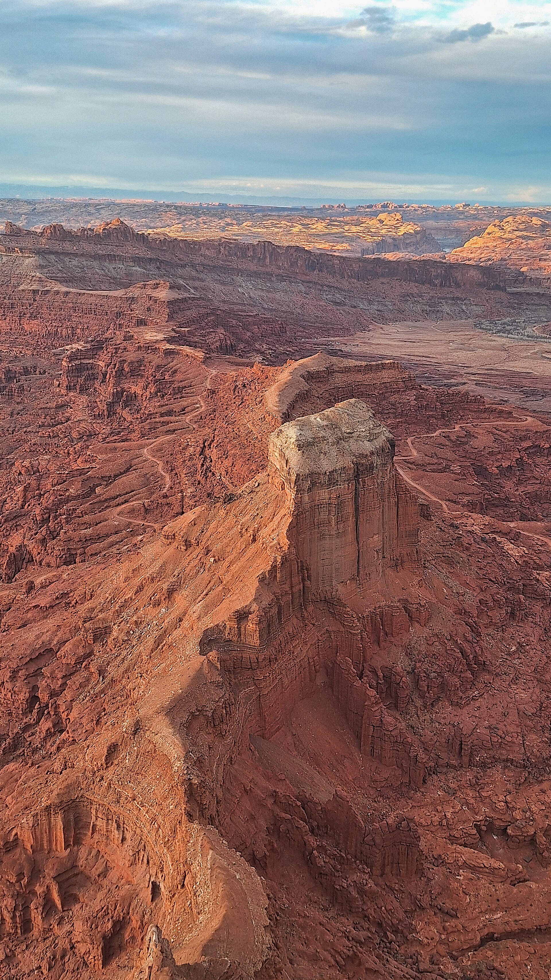 Plate CCCXXVI
Anticline Overlook
canyonCanyon Rims Recreation Area, Hatch Point, Utah
A river fold read from the opposite rim.
38.5° N · 109.6° WOpen plate →
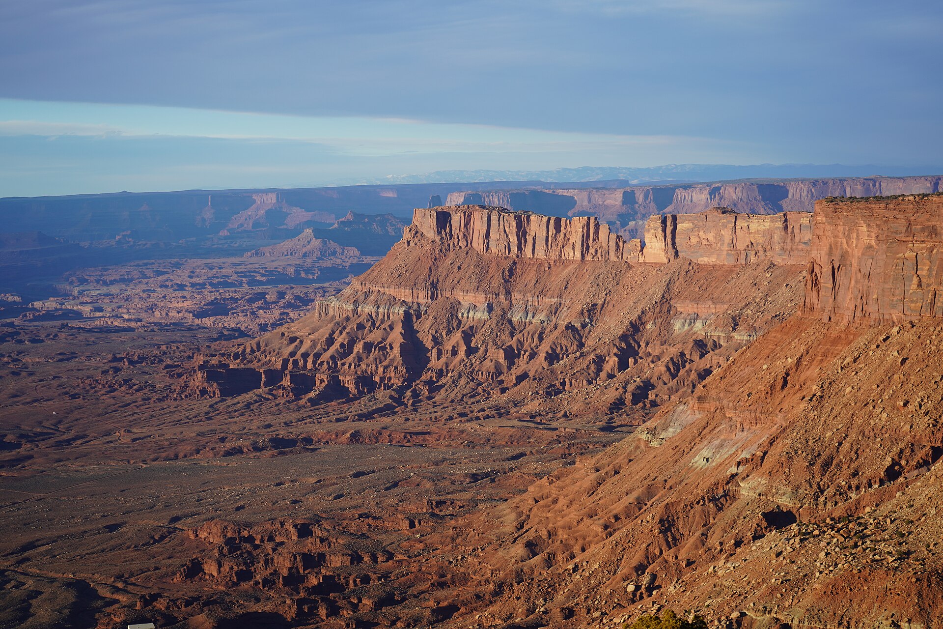 Plate CCCXXVII
Canyonlands Overlook
canyonCanyon Rims Recreation Area, Hatch Point, Utah
Island country read from the east rim.
38.4° N · 109.7° WOpen plate →
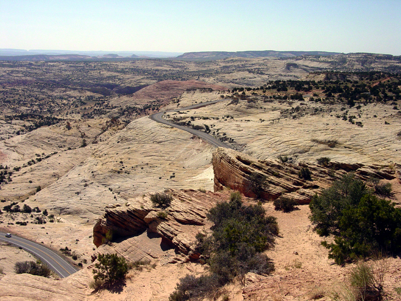 Plate CCCXXVIII
Head of the Rocks Overlook
canyonScenic Byway 12, east of Escalante, Utah
Slickrock falling away under a black highway thread.
37.7° N · 111.5° WOpen plate →
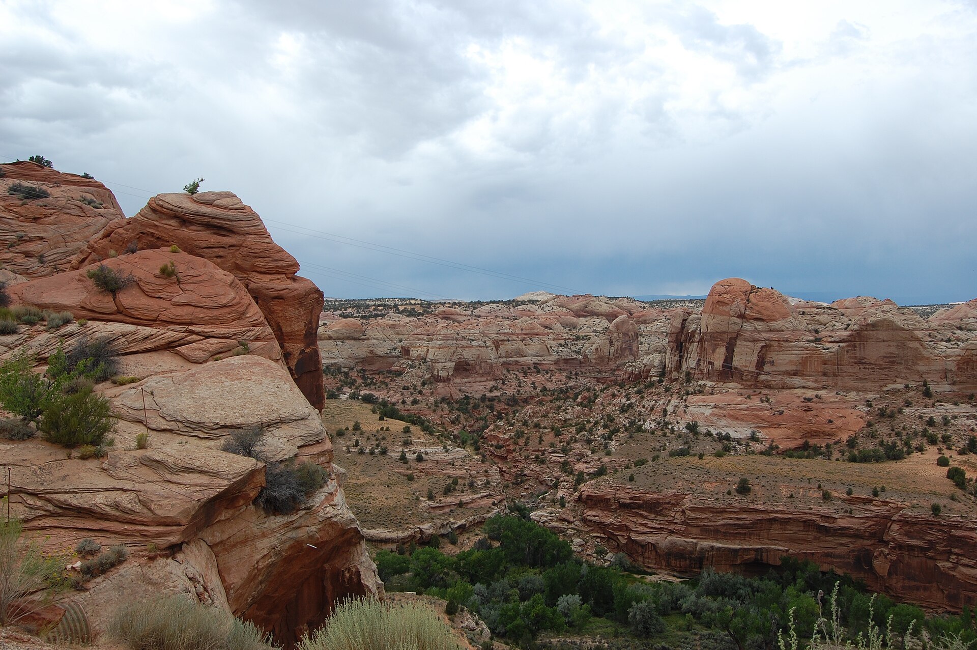 Plate CCCXXIX
Boynton Overlook
canyonScenic Byway 12, Escalante River, Utah
A red canyon the highway has to cross.
37.8° N · 111.4° WOpen plate →
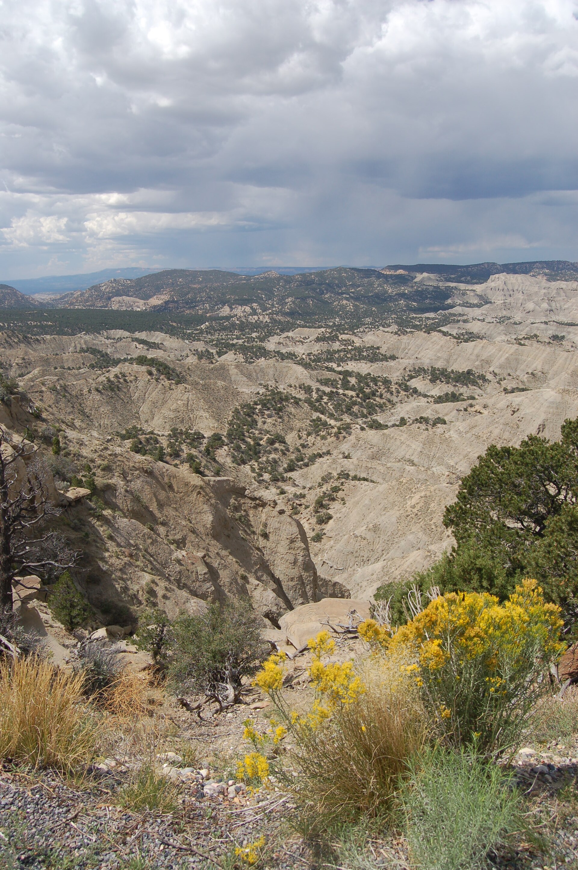 Plate CCCXXX
The Blues Overlook
desertScenic Byway 12, west of Escalante, Utah
Gray hills under a pink table of stone.
37.6° N · 111.8° WOpen plate →
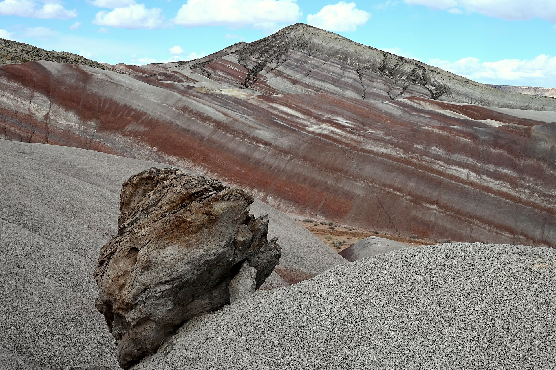 Plate CCCXXXI
Moonscape Overlook
desertSkyline Rim, Factory Bench (approx), Utah
Gray benches the Mancos kept after the sea left.
38.5° N · 110.8° WOpen plate →
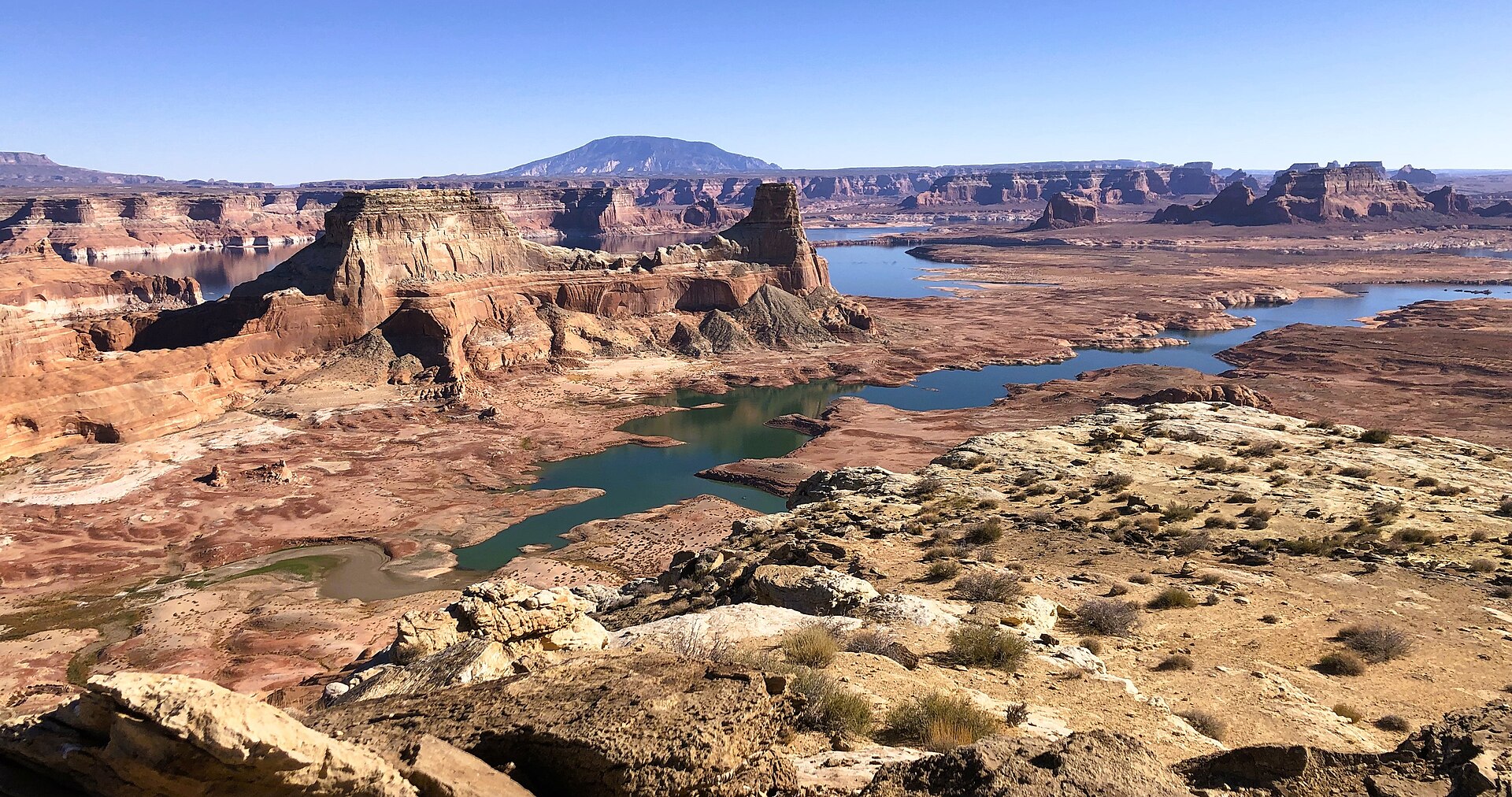 Plate CCCXXXII
Alstrom Point
canyonPadre Bay cape, Glen Canyon NRA (approx), Utah
A stone table over a drowned canyon.
37.1° N · 111.3° WOpen plate →
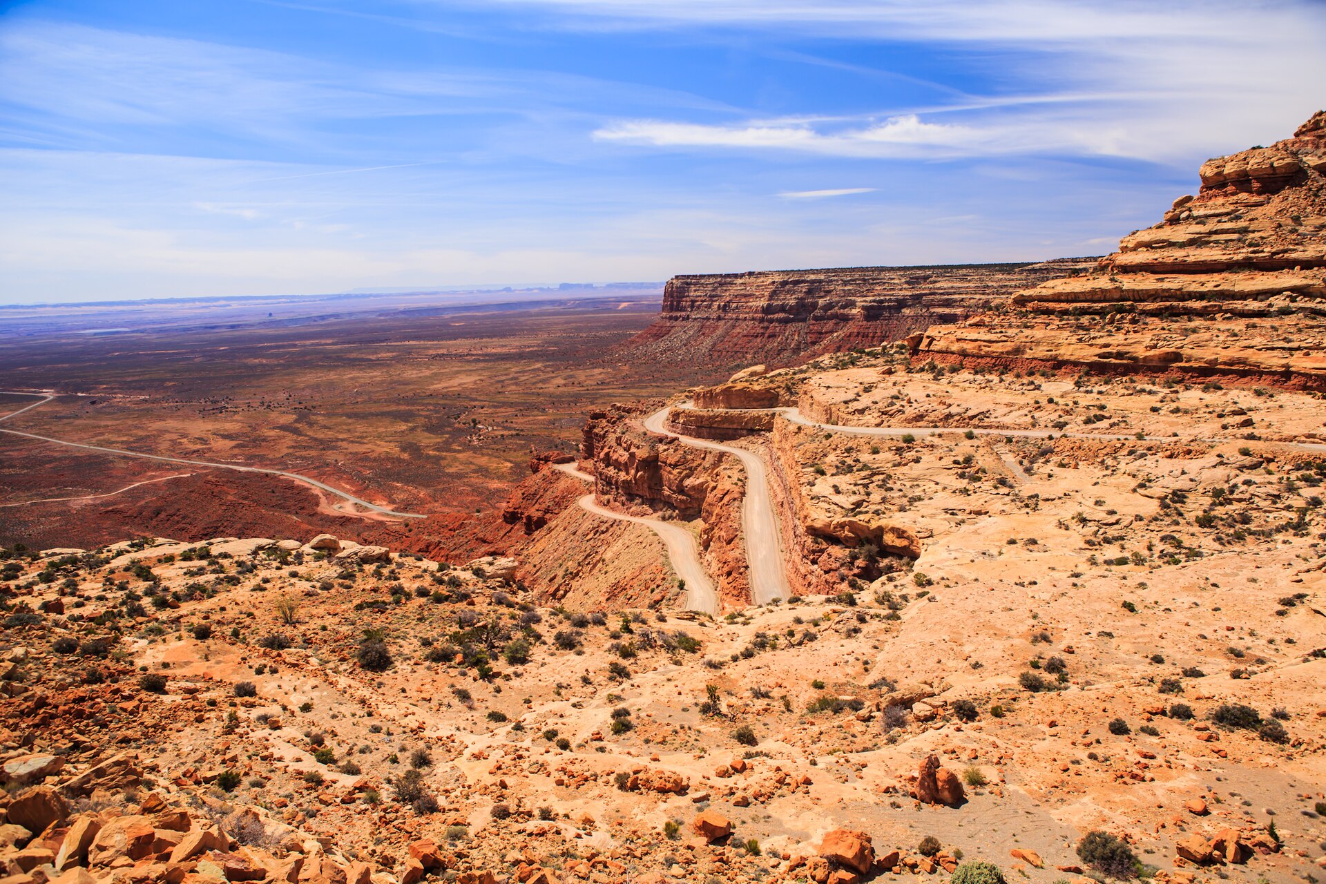 Plate CCCXXXIII
Moki Dugway
canyonUtah 261, Cedar Mesa switchbacks, Utah
A mesa wall the road learned to descend.
37.3° N · 109.9° WOpen plate →
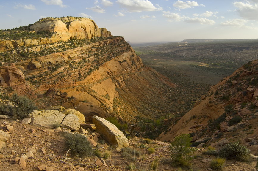 Plate CCCXXXIV
Comb Ridge
canyonComb Wash at UT-95, San Juan County, Utah
A stone comb standing over its own wash.
37.5° N · 109.7° WOpen plate →
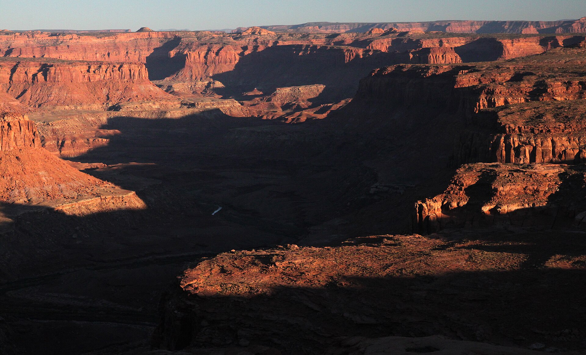 Plate CCCXXXV
Burr Point Overlook
canyonBurr Desert, Dirty Devil rim, Utah
A desert rim over a named dirty river.
38.2° N · 110.5° WOpen plate →
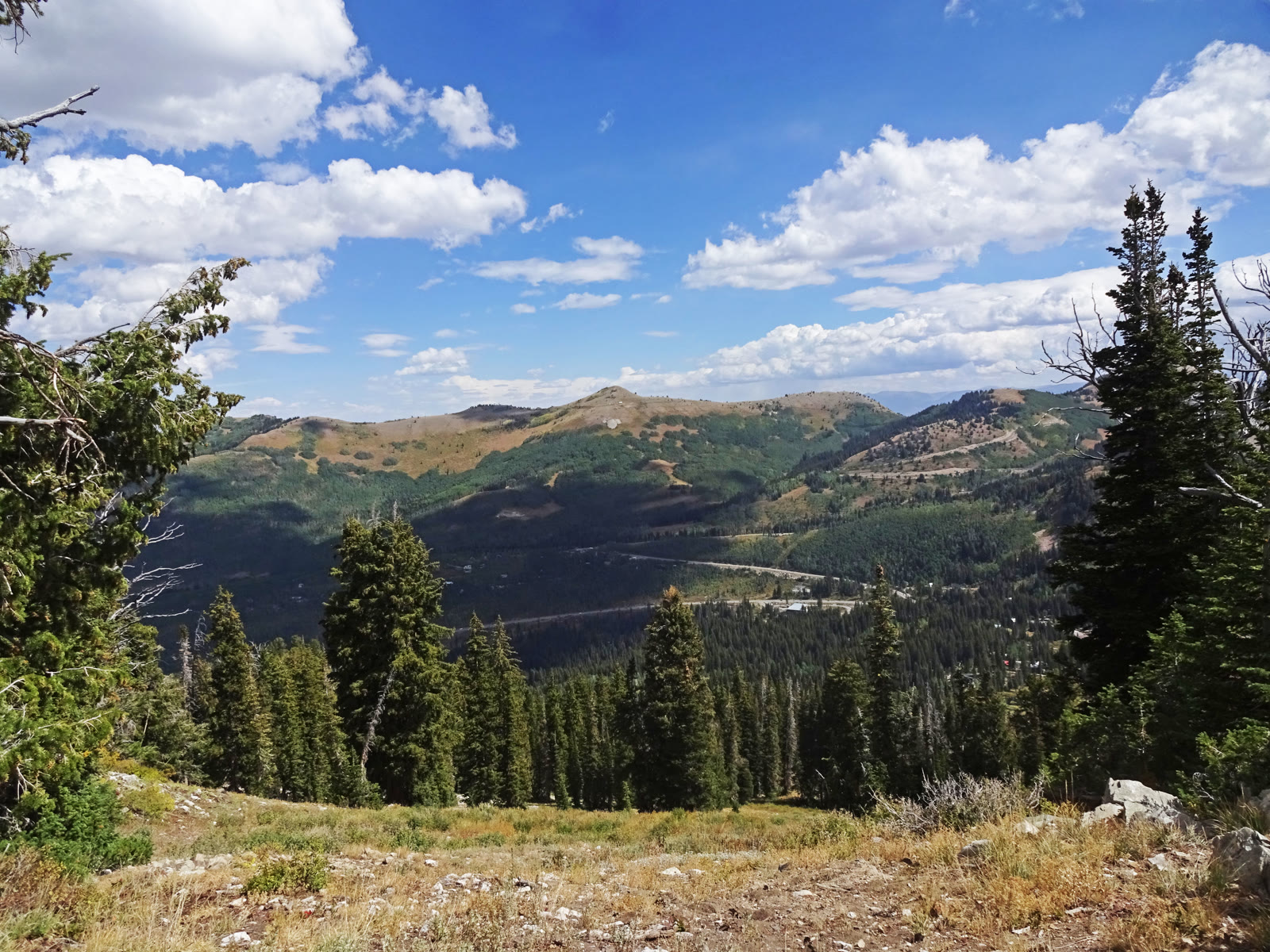 Plate CCCXXXVI
Guardsman Pass Overlook
alpineWasatch saddle, Salt Lake and Wasatch counties, Utah
A high saddle the canyon road has to cross.
40.6° N · 111.6° WOpen plate →
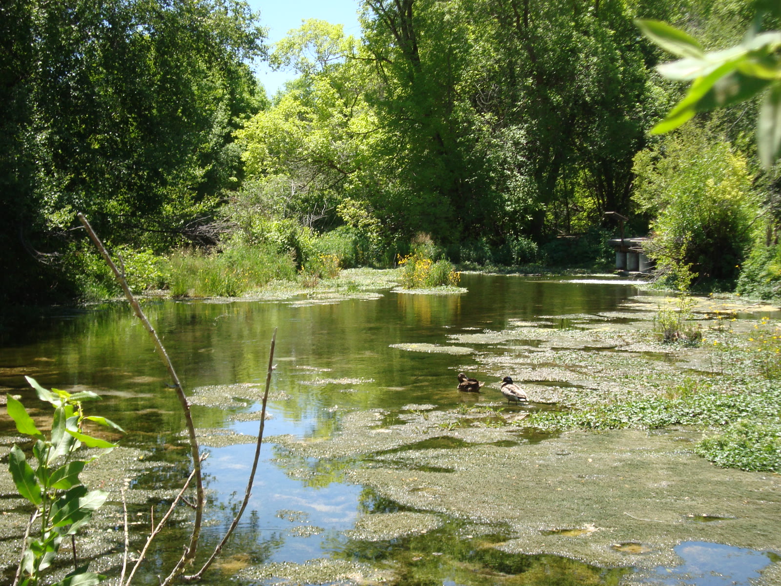 Plate CCCXXXVII
Cascade Springs
wetlandAmerican Fork fee area, Alpine Loop, Utah
Cold water building its own stone stairs.
40.5° N · 111.5° WOpen plate →
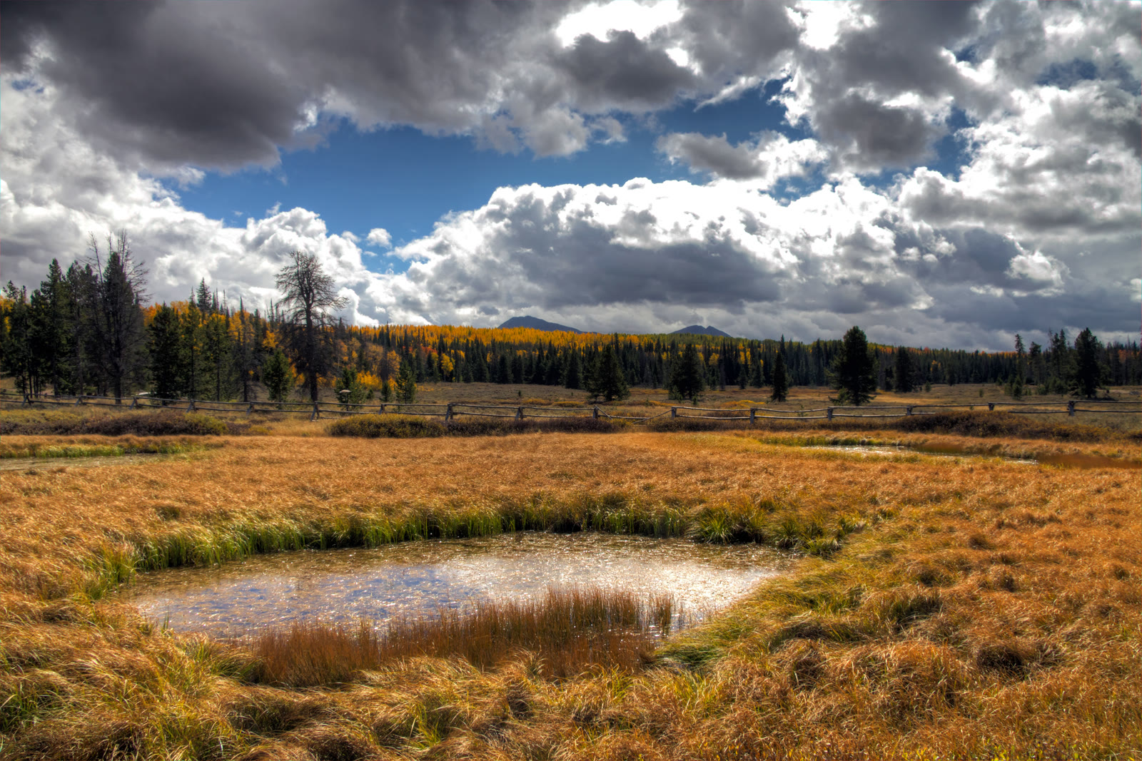 Plate CCCXXXVIII
Mirror Lake Highway
alpineUtah 150, Kamas to the Wyoming line, Utah
The paved road that reads the west Uintas.
40.7° N · 110.9° WOpen plate →
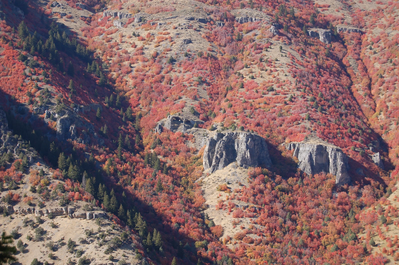 Plate CCCXXXIX
Logan Canyon Wind Caves
canyonUS-89, Logan Canyon, Utah
Limestone windows in the canyon wall.
41.8° N · 111.7° WOpen plate →
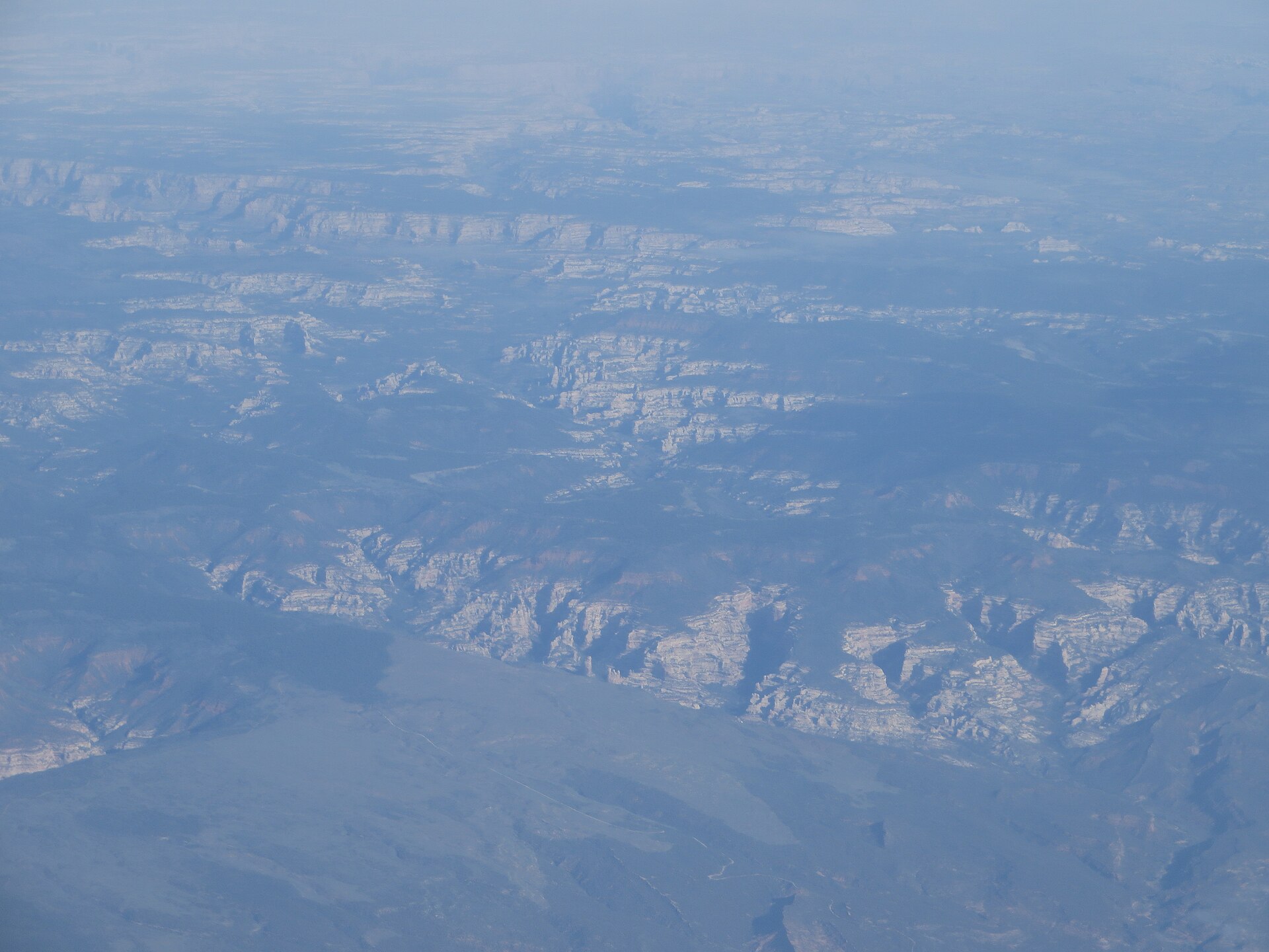 Plate CCCLIII
Dark Canyon
canyonDark Canyon Wilderness, Manti-La Sal NF, Utah
A quiet cut behind the Needles.
37.9° N · 110.1° WOpen plate →