Back to Field book
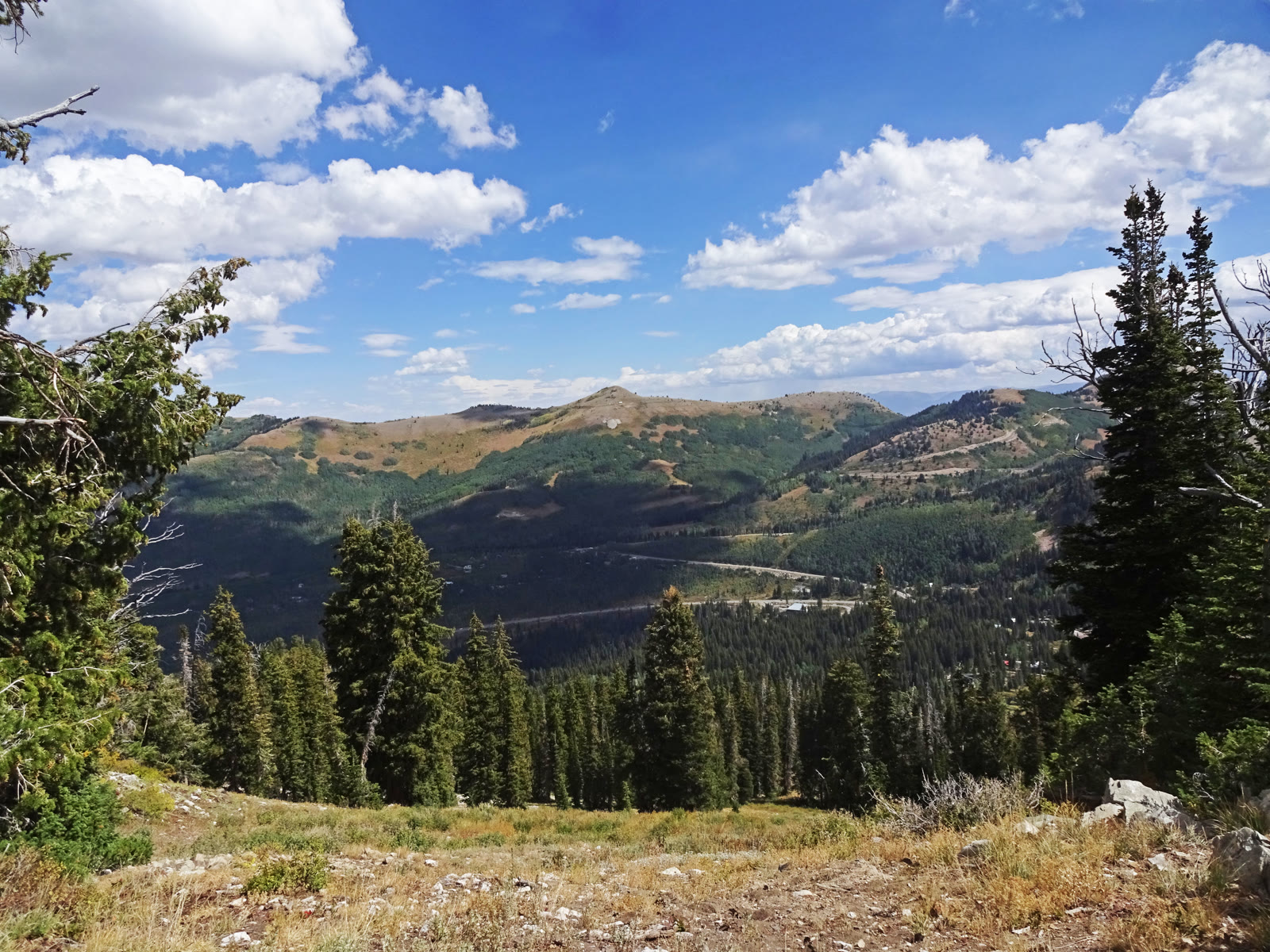
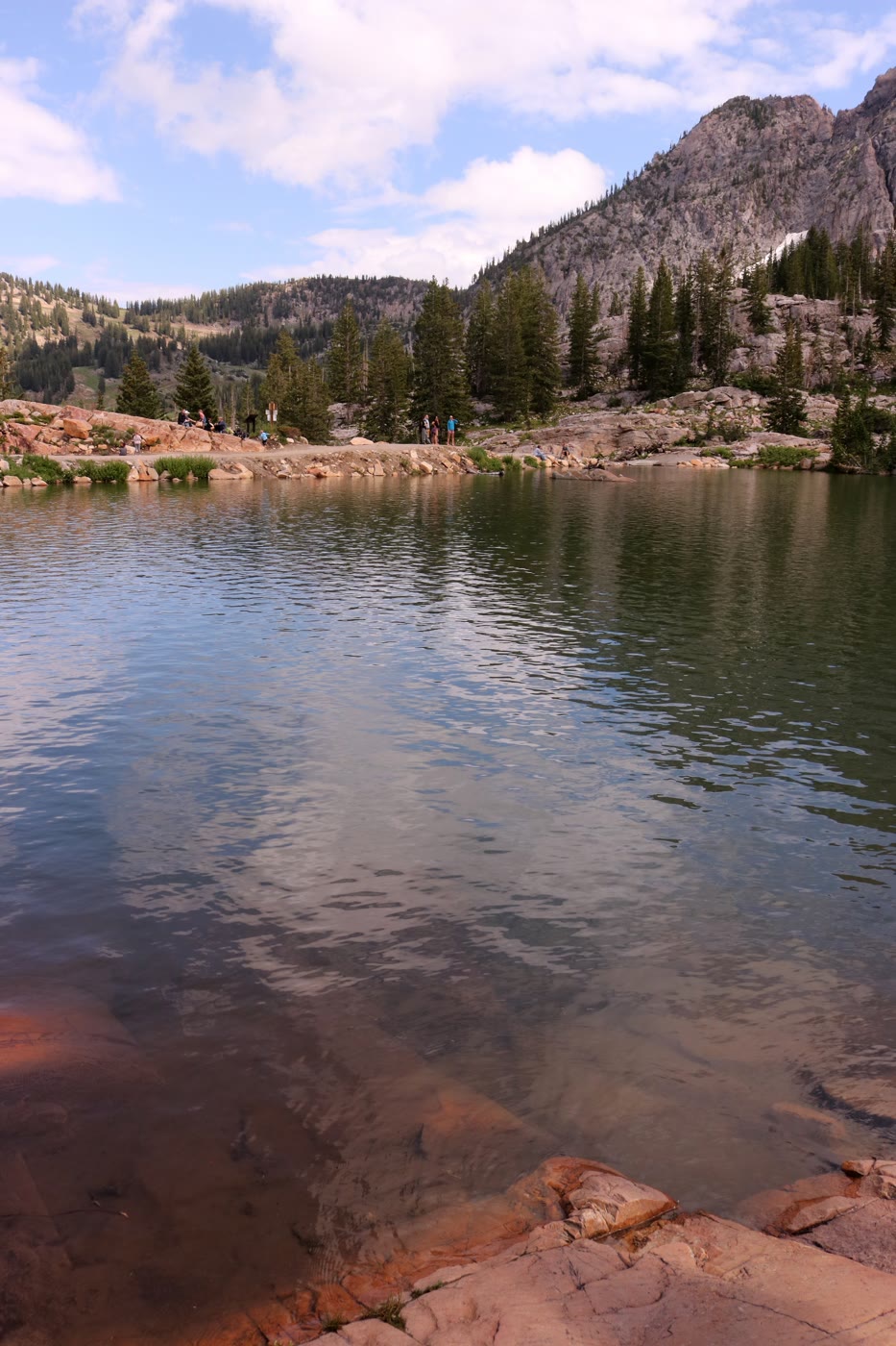
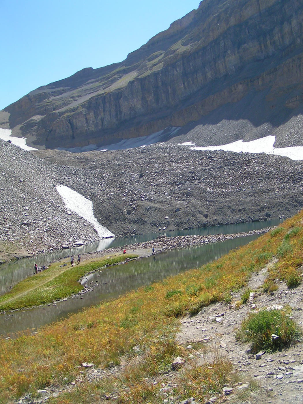
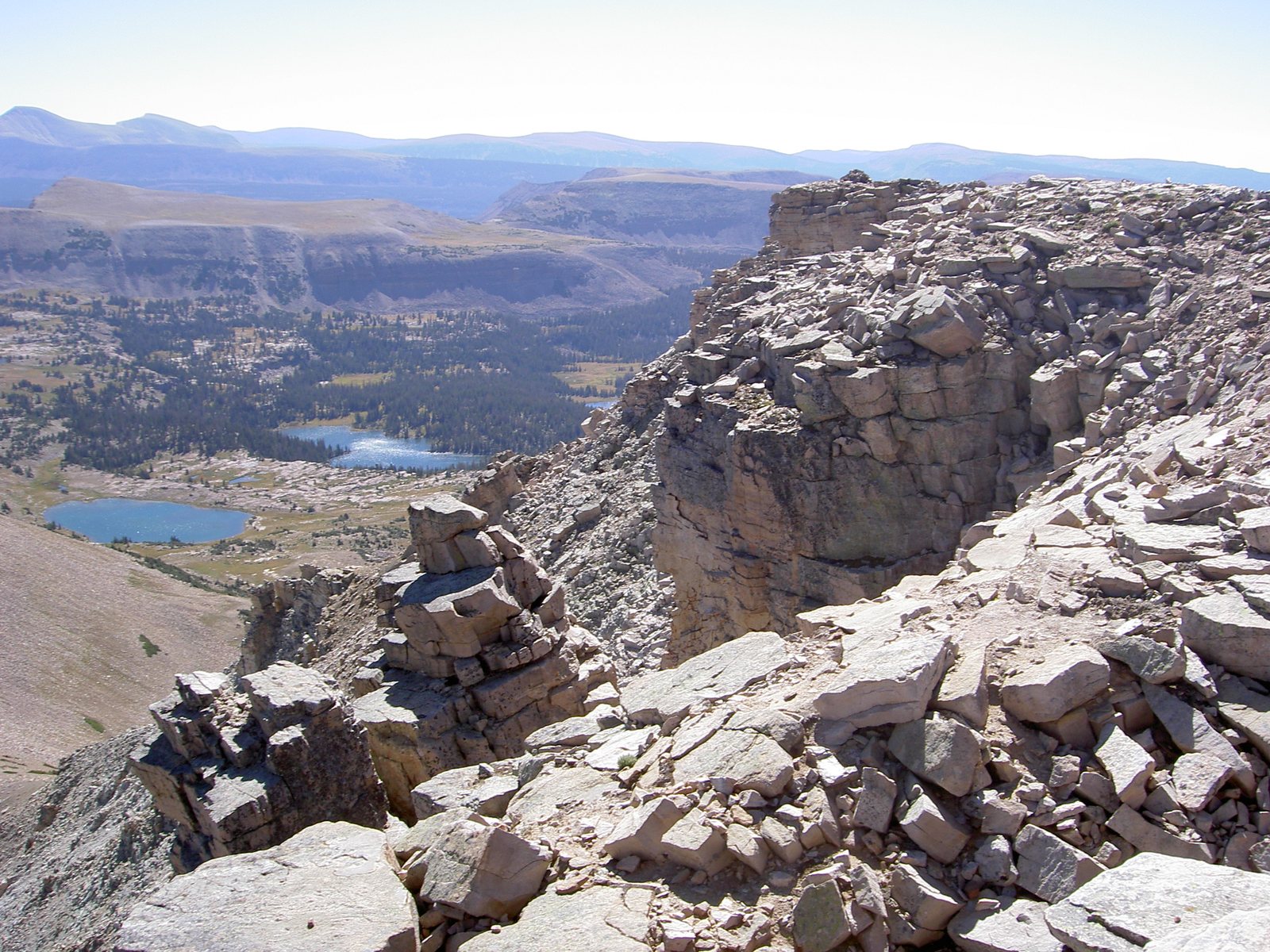
Tarns in Naturalist Basin, High Uintas
Views 0/3

Fig. 1Tarns in Naturalist Basin, High Uintas

Photo: summitcheese · CC BY-SA 2.0

Landform

The only major east–west range in the lower 48. A high plateau of lakes, tundra, and the Kings Peak summit of Utah.

Field note

Naturalist Basin is a hanging garden of tarns. The Uintas hold more lakes than the rest of Utah combined. Most of the wilderness is still a walk, not a drive.
Views & peaks

Inside this plate

Views 0/3


Stamp each view as you reach it; the plate seals when every one is inked.

A private leaf

Prints from High Uintas


Instant paper, this copy only. Write on the white — a line the walk still owes you.

The prints

0 / 24

Opening the leaf…

Onward

A day's country


The nearest plates, by the miles.

Alpine chapter

More alpine destinations


Other US alpine plates. See all alpine destinations in the USA

Fold-out

On the chart


Vintage map of the United States