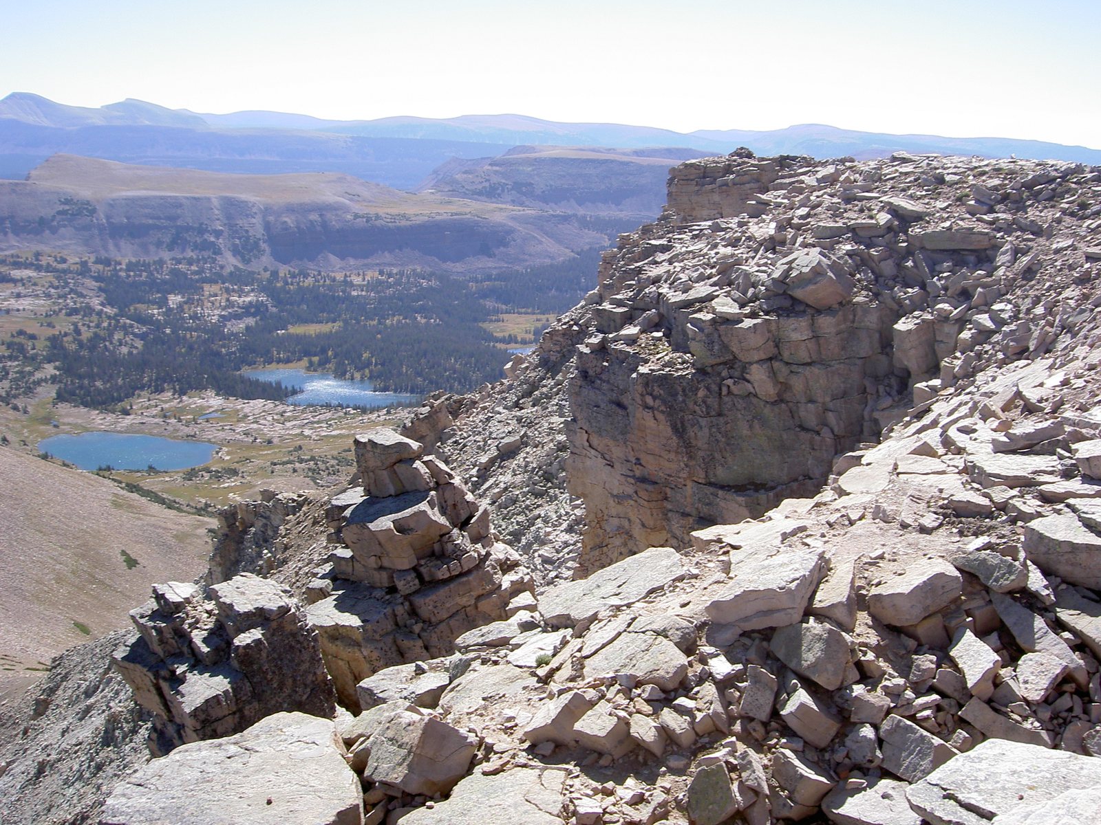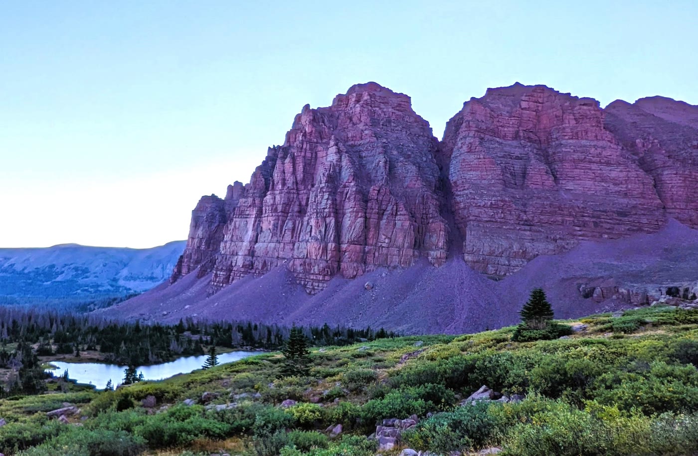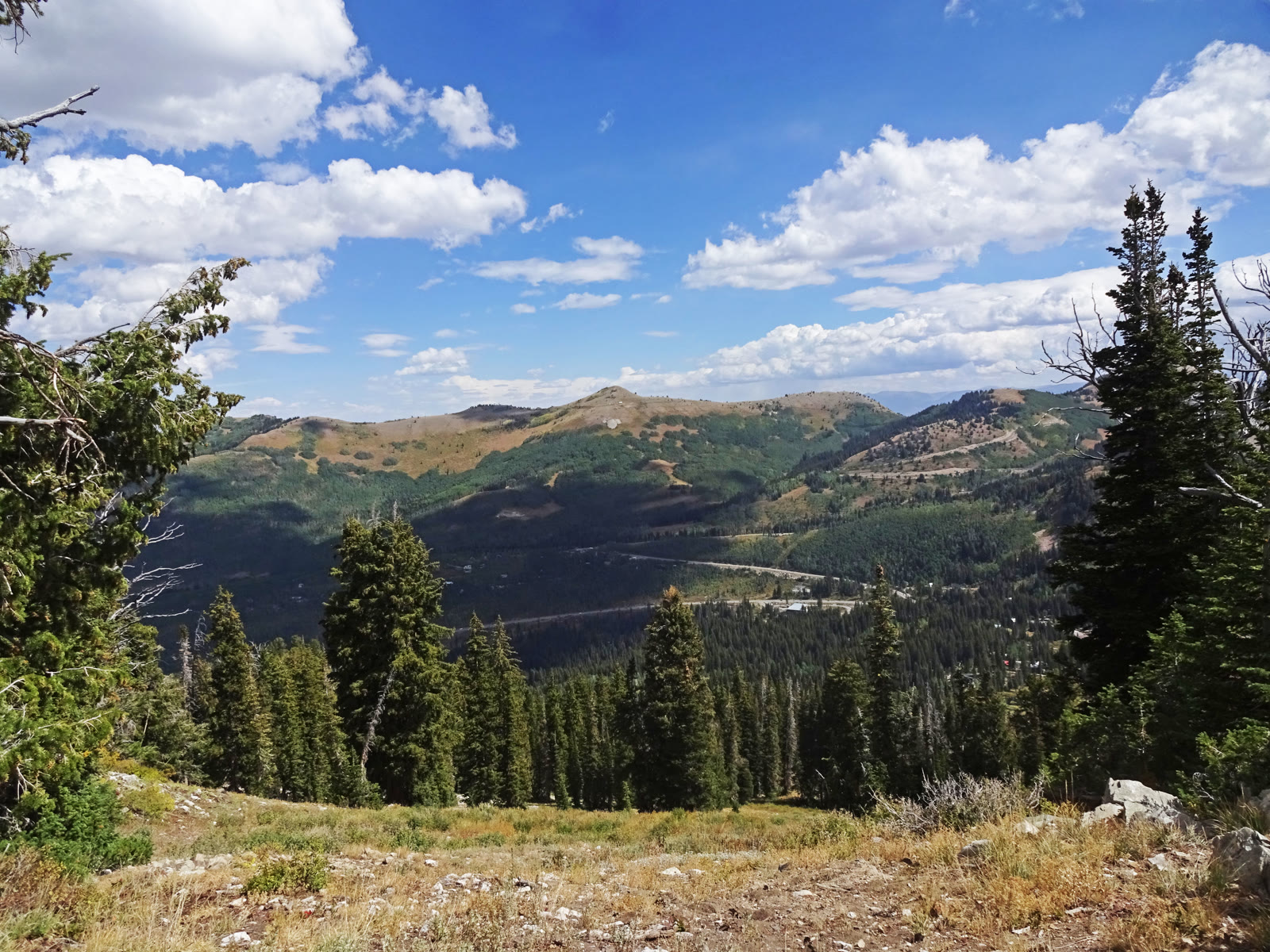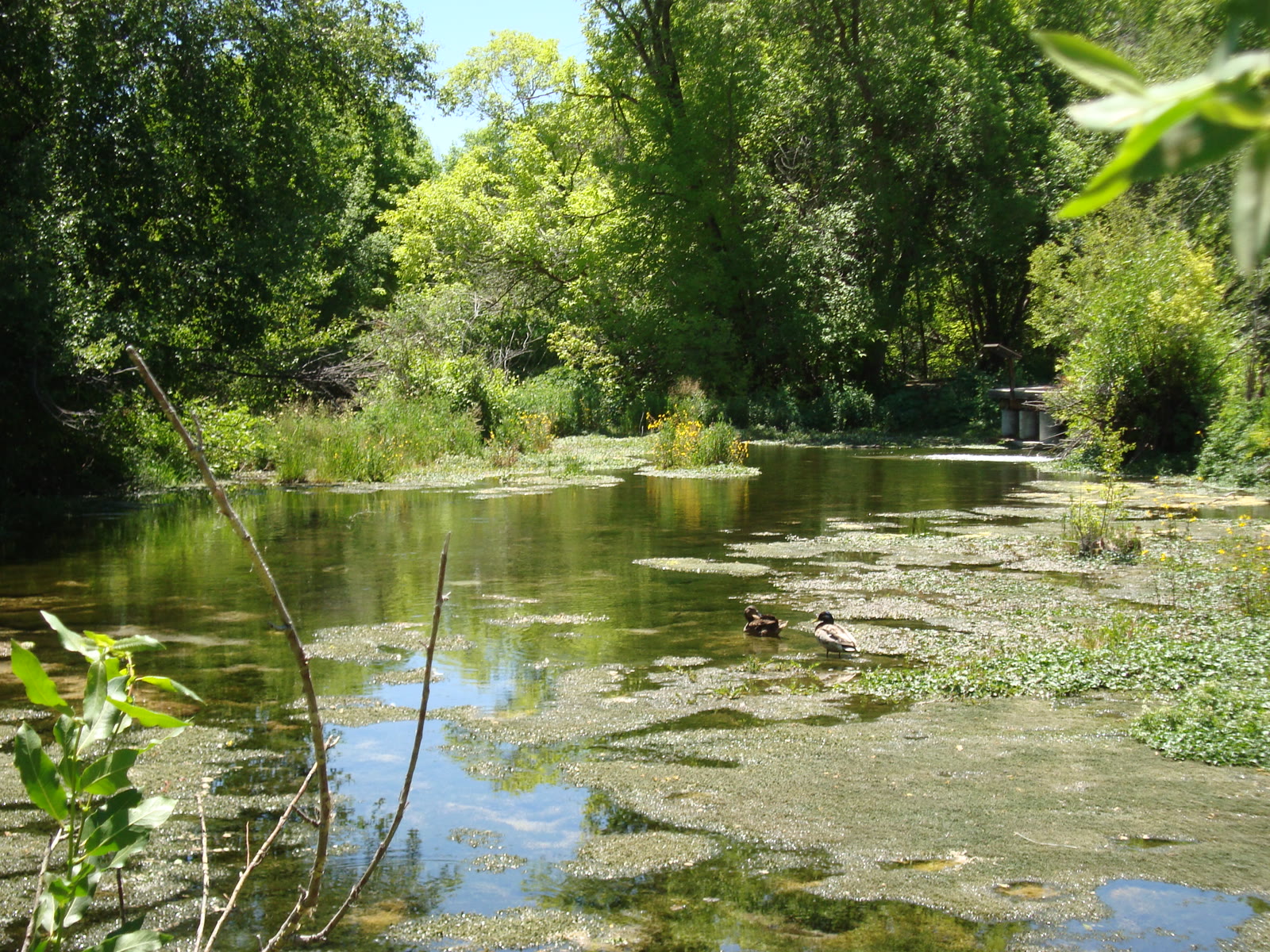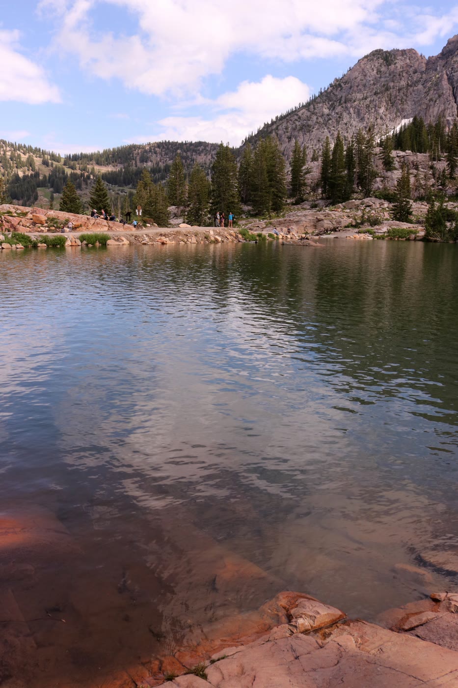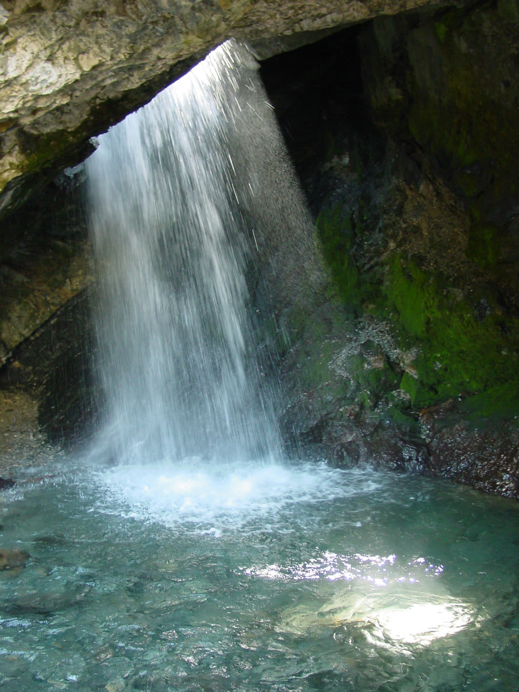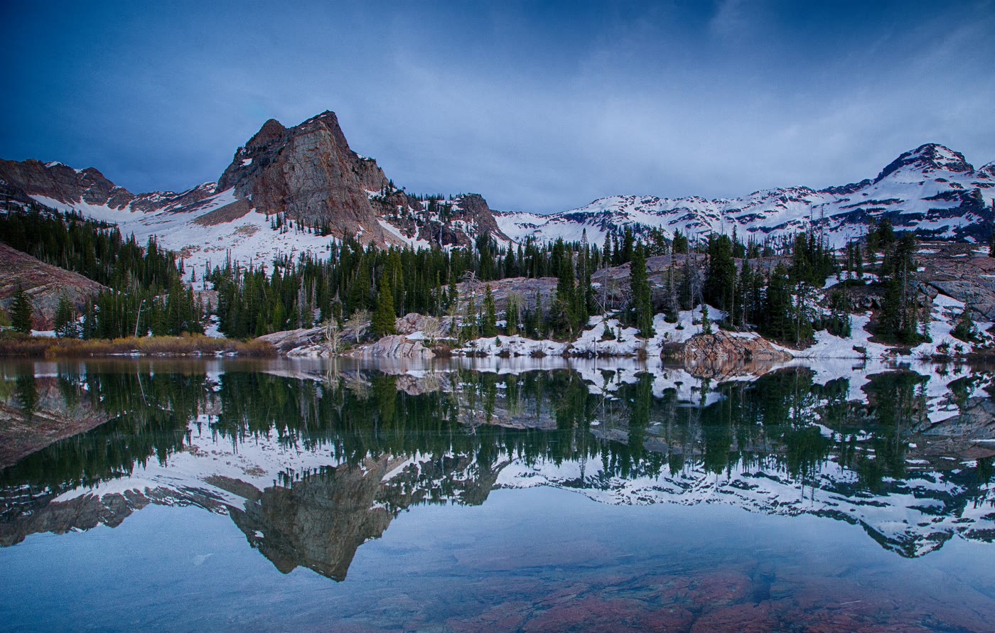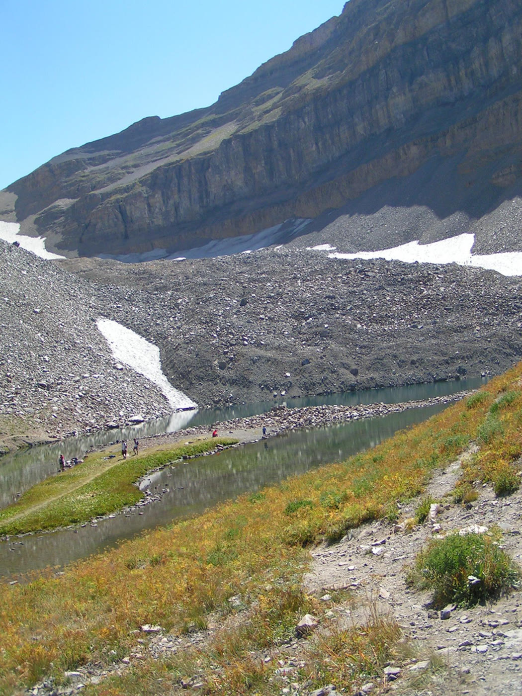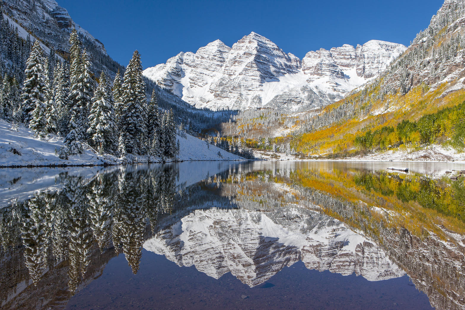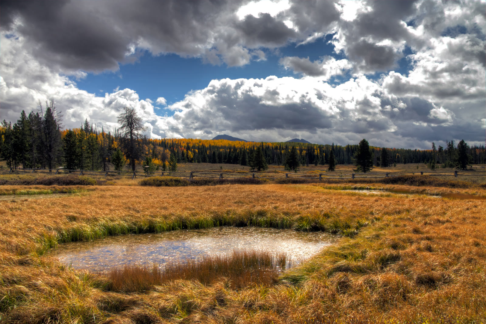
Fig. 1Aspen and a pond near Whitney Reservoir, off the Mirror Lake Highway
Landform
The paved west-Uintas corridor — Utah 150 from Kamas to the Wyoming line, cresting at Bald Mountain Pass. A drive, not the High Uintas wilderness and not Red Castle.
Field note
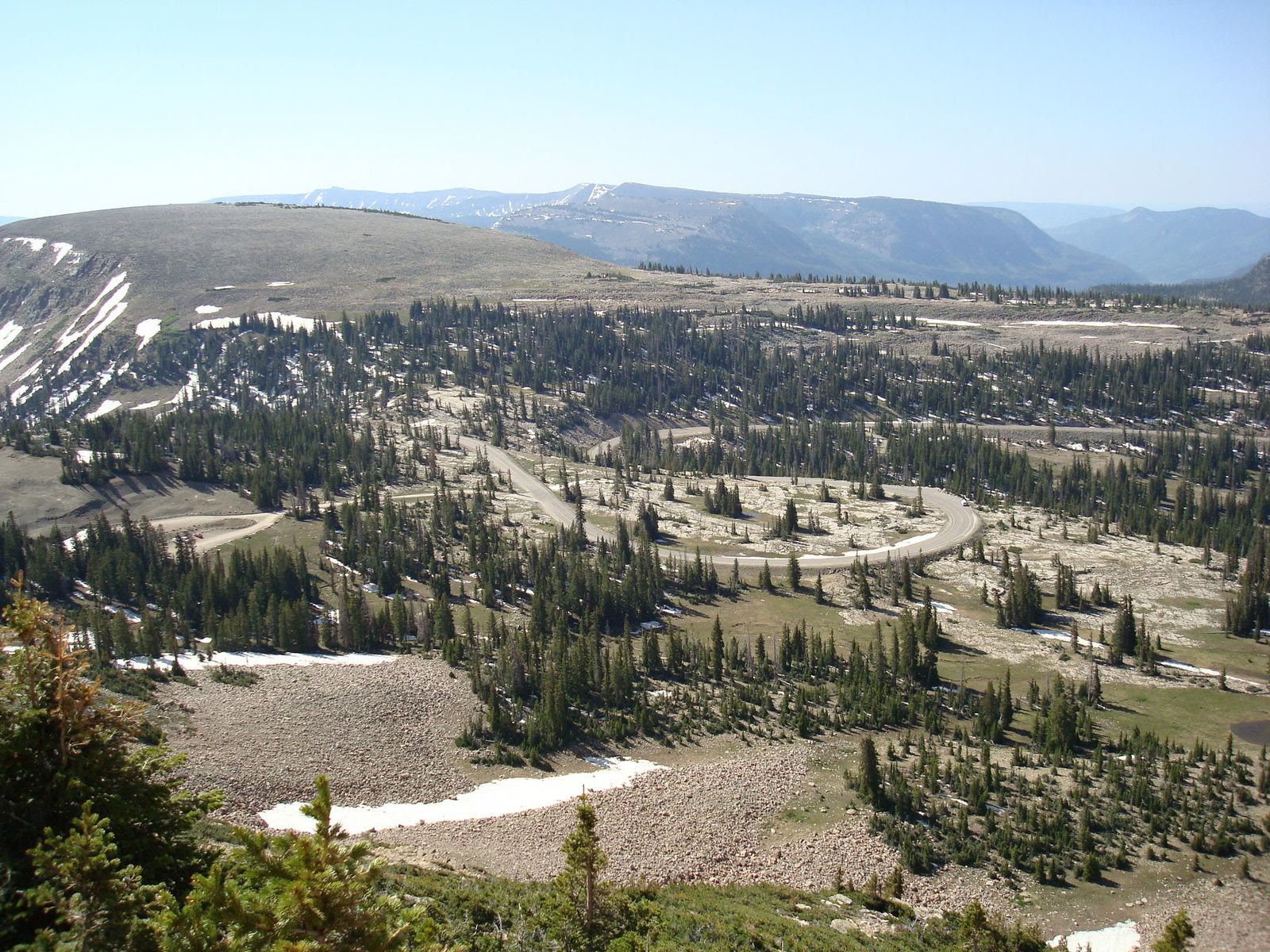
Utah 150 leaves Kamas and meets Wyoming 150 south of Evanston, about 55 miles. Bald Mountain Pass, 10,715 feet, is the high point and the highest paved road in Utah. The Forest Service picnic site and Bald Mountain trailhead sit at the summit. UDOT closes the highway in winter, generally from about mile 14.6 to mile 48.6, November into May or June. The drive itself is free. Parking at developed sites in the Mirror Lake Scenic Corridor takes a recreation pass — the Forest Service posts $10 for three days, $20 for seven, and $60 for the season — or an America the Beautiful or Uinta-Wasatch-Cache pass on the dash. This plate is the corridor, not Naturalist Basin and not Red Castle.
The Mirror Lake Highway is Utah 150 from Kamas to the Wyoming line, a USDA Forest Service scenic byway. Bald Mountain Pass at 10,715 feet is the high point. UDOT closes the middle miles in winter. Driving is free; developed sites in the corridor take a recreation pass. This plate is the drive, not the High Uintas wilderness and not Red Castle.