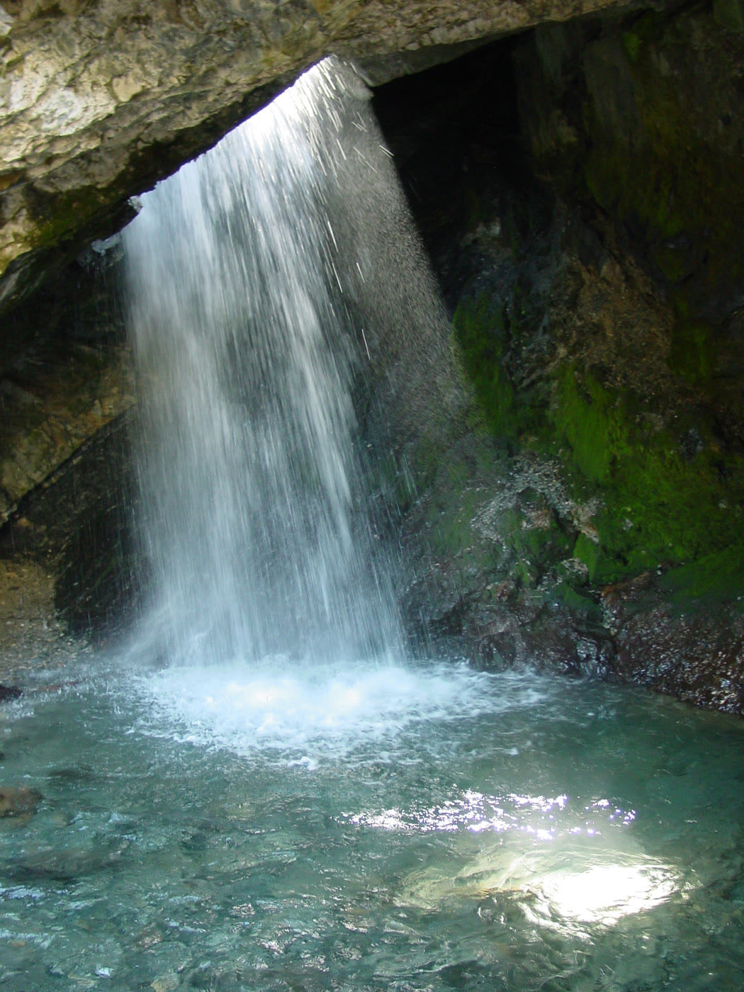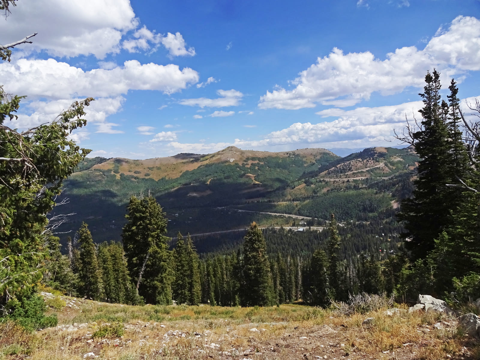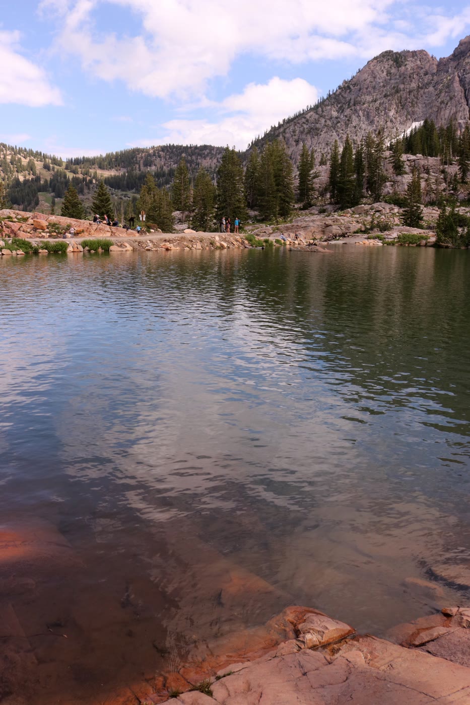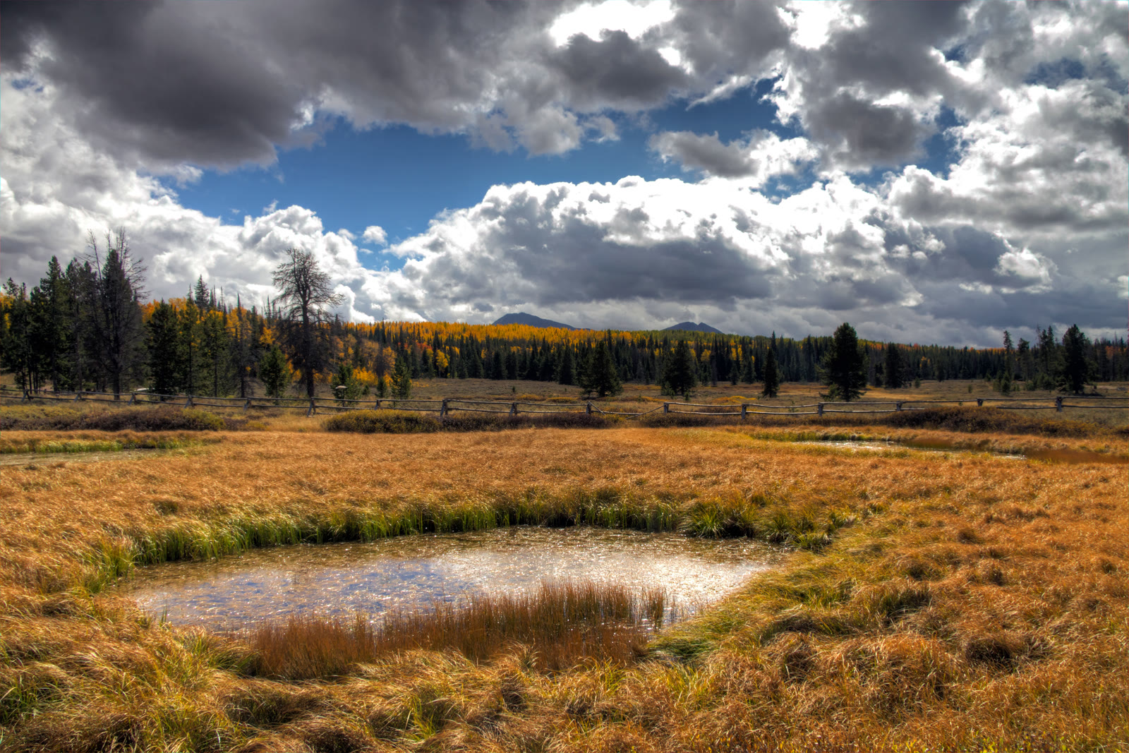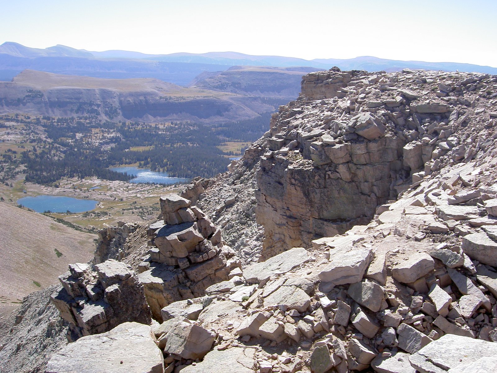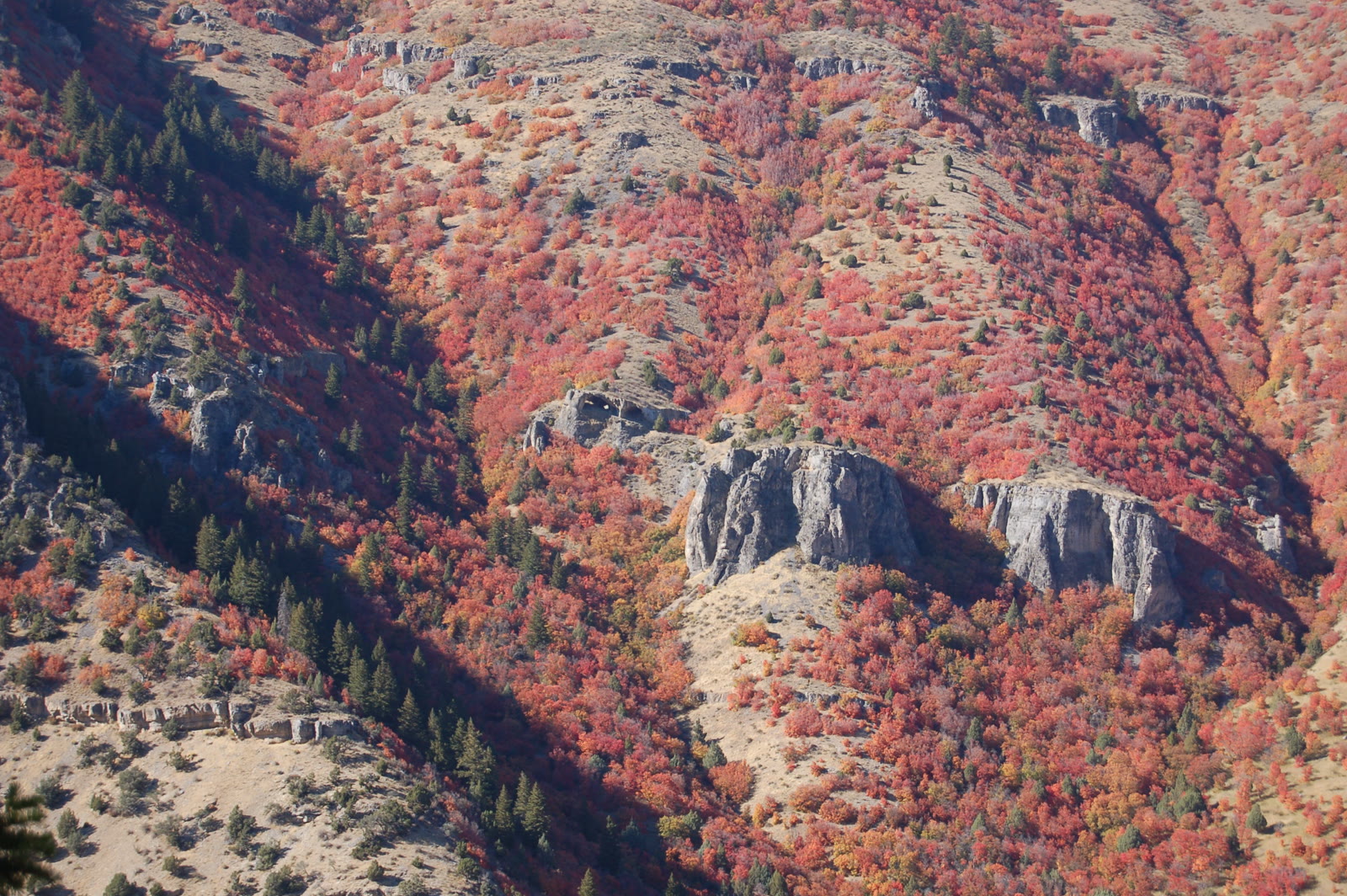
Fig. 1Wind Caves limestone arches across Logan Canyon from the Crimson Trail
Photo: A. E. Crane, U.S. Department of Transportation · Public domain
Landform
Lodgepole Limestone arches on the north wall of Logan Canyon — a steep trail off US-89, not Tony Grove Lake.
Field note
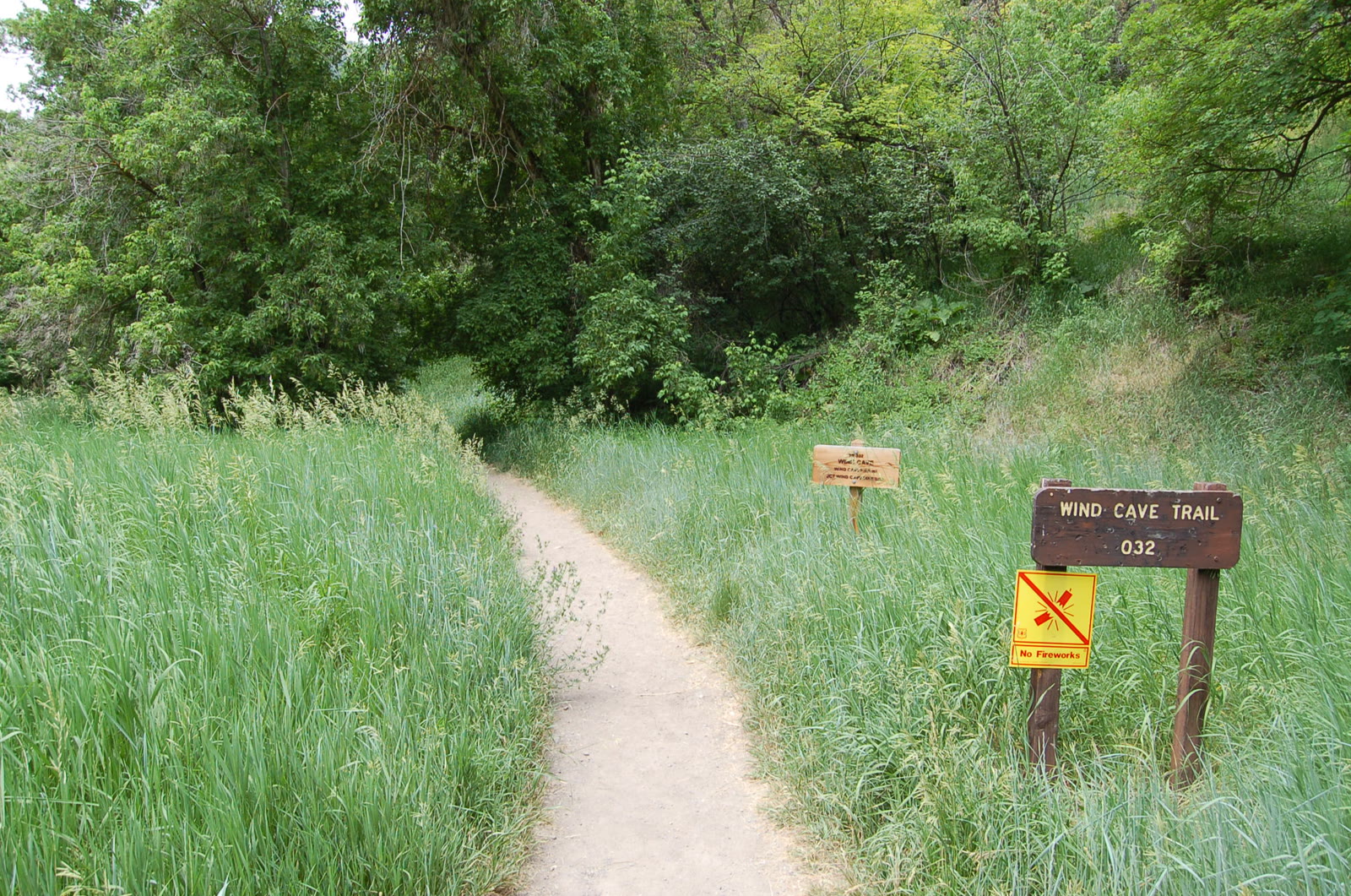
The Utah Geological Survey puts the trailhead about 7.5 miles up US-89 from Logan, on the north side of the highway across from Guinavah-Malibu Campground. Forest Service trail 032 is listed at 1.88 miles. The Survey’s walk to the arches is about 1.8 miles and roughly 1,000 feet of gain — near 3.6 miles out and back. The name says wind. The Survey says water cut the Lodgepole Limestone, then the canyon exposed the rooms. US-89 stays open; the slope is best March through November, when ice is off the trail. This plate is the Wind Caves, not Tony Grove.
The Wind Caves are Lodgepole Limestone arches on the north wall of Logan Canyon, off US-89 across from Guinavah-Malibu. Forest Service trail 032 is 1.88 miles; the walk to the arches is about 1.8 miles one way. This plate is the arches, not Tony Grove Lake.