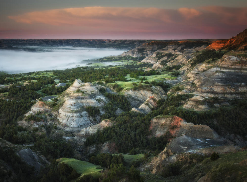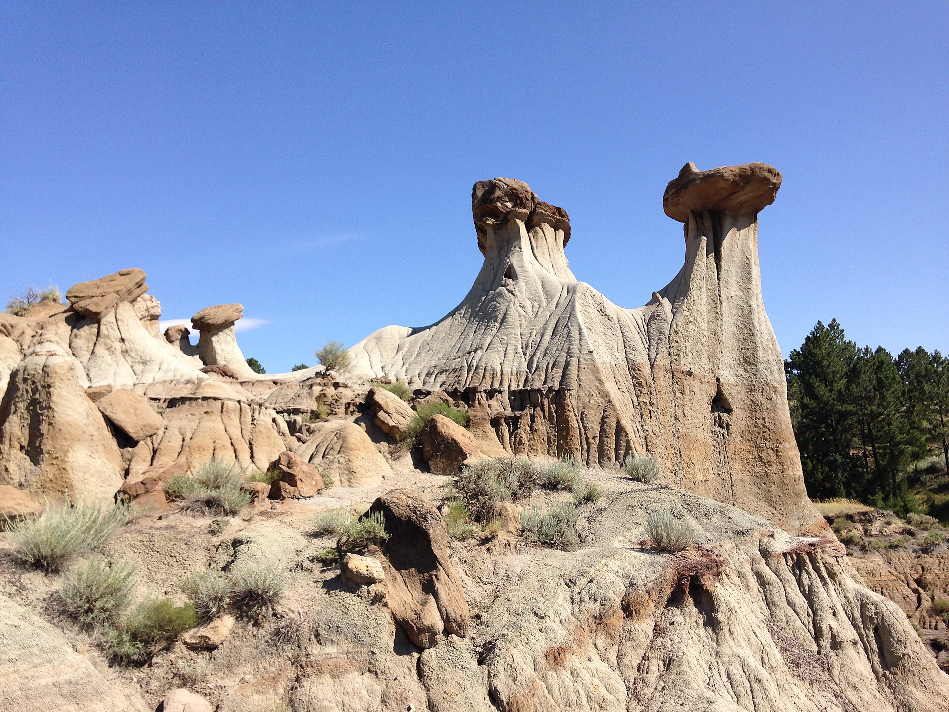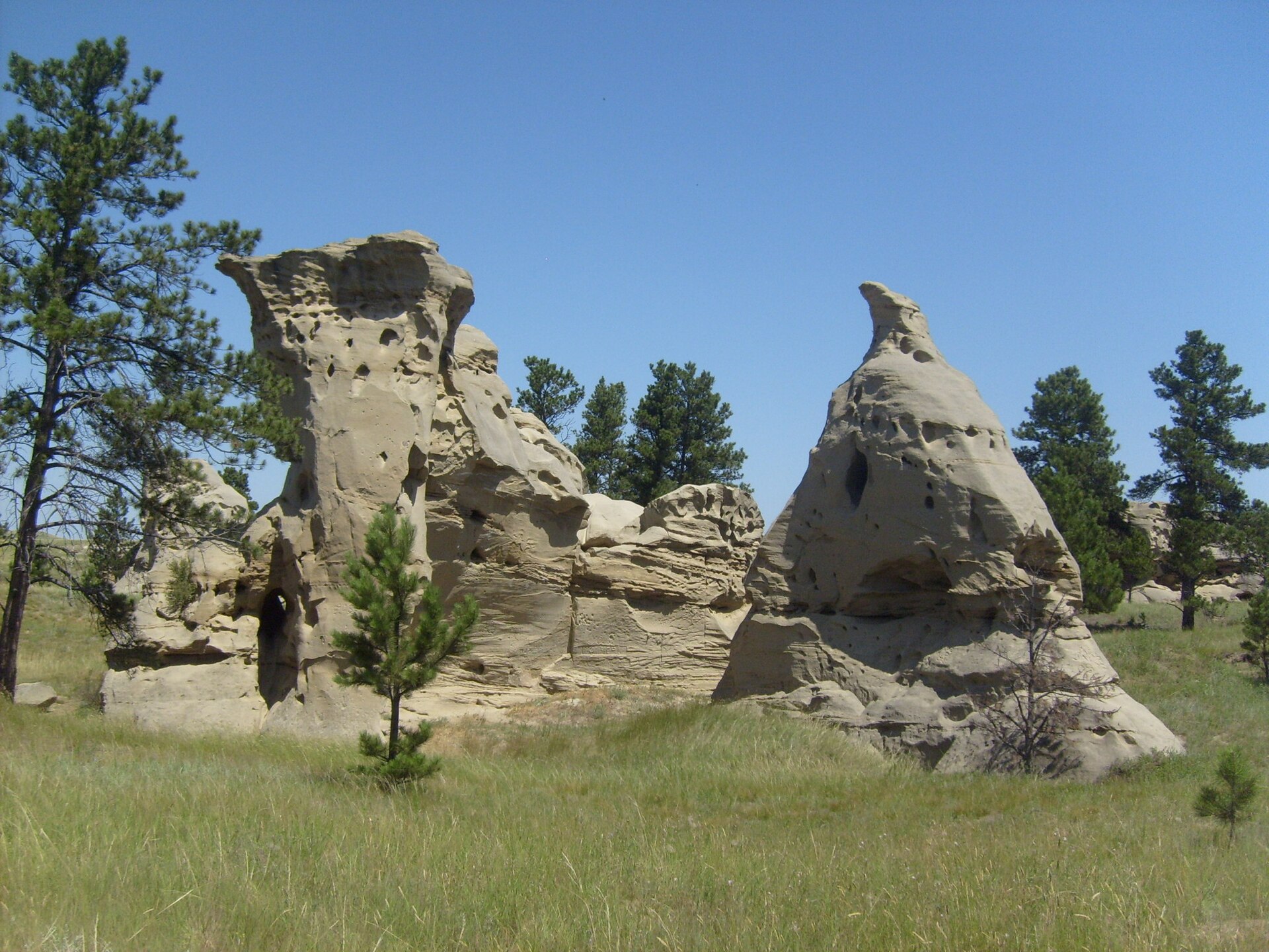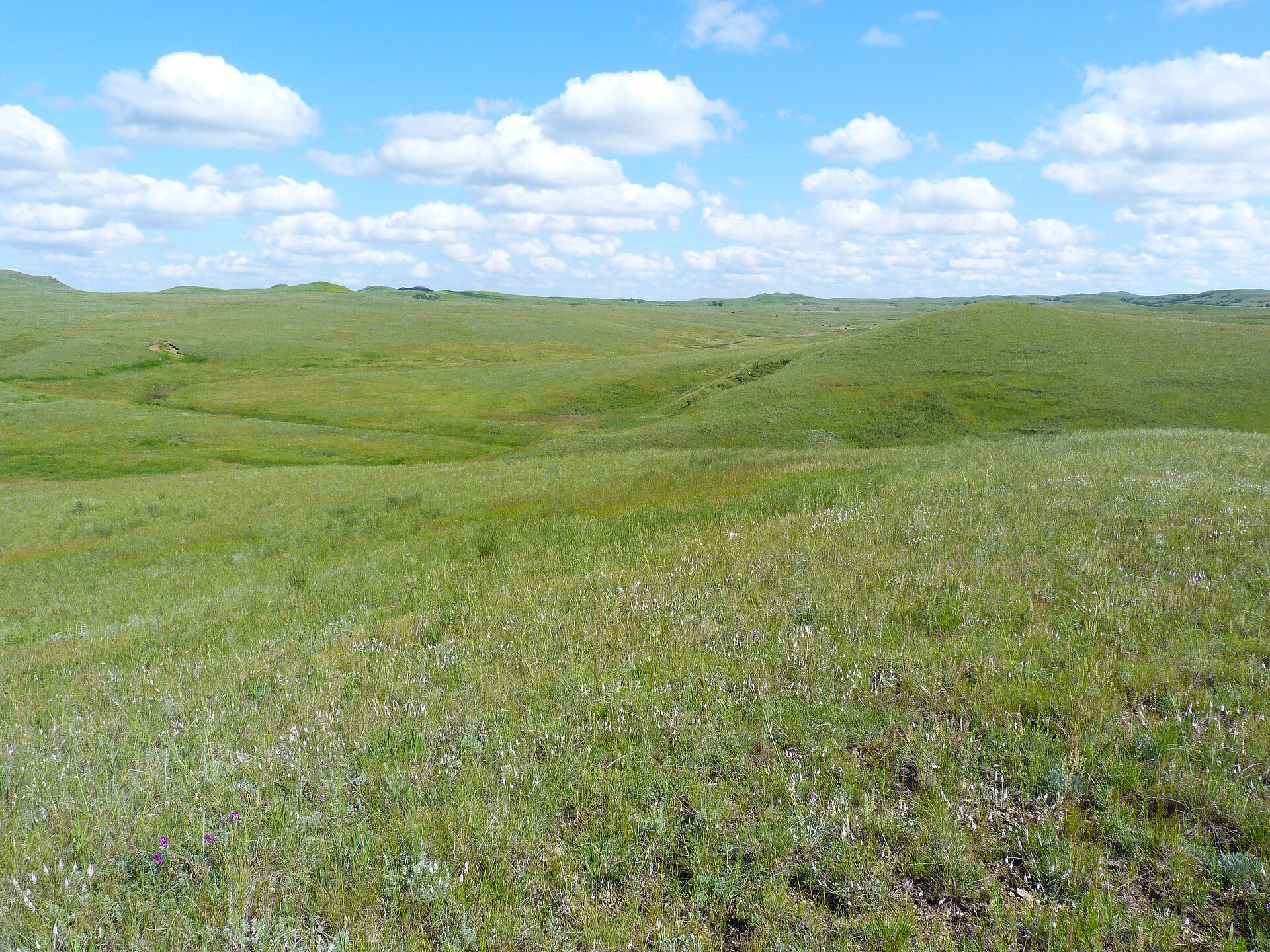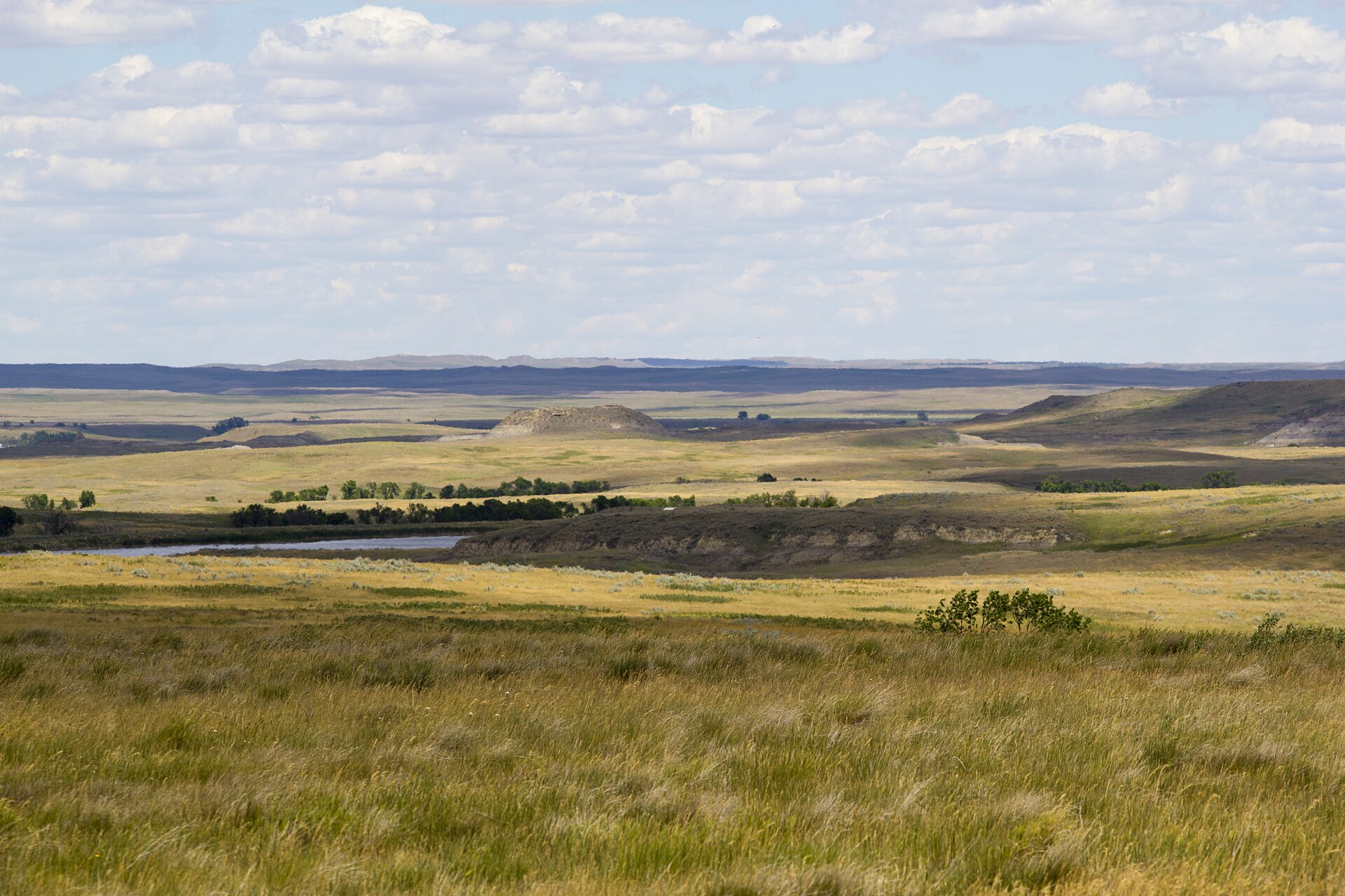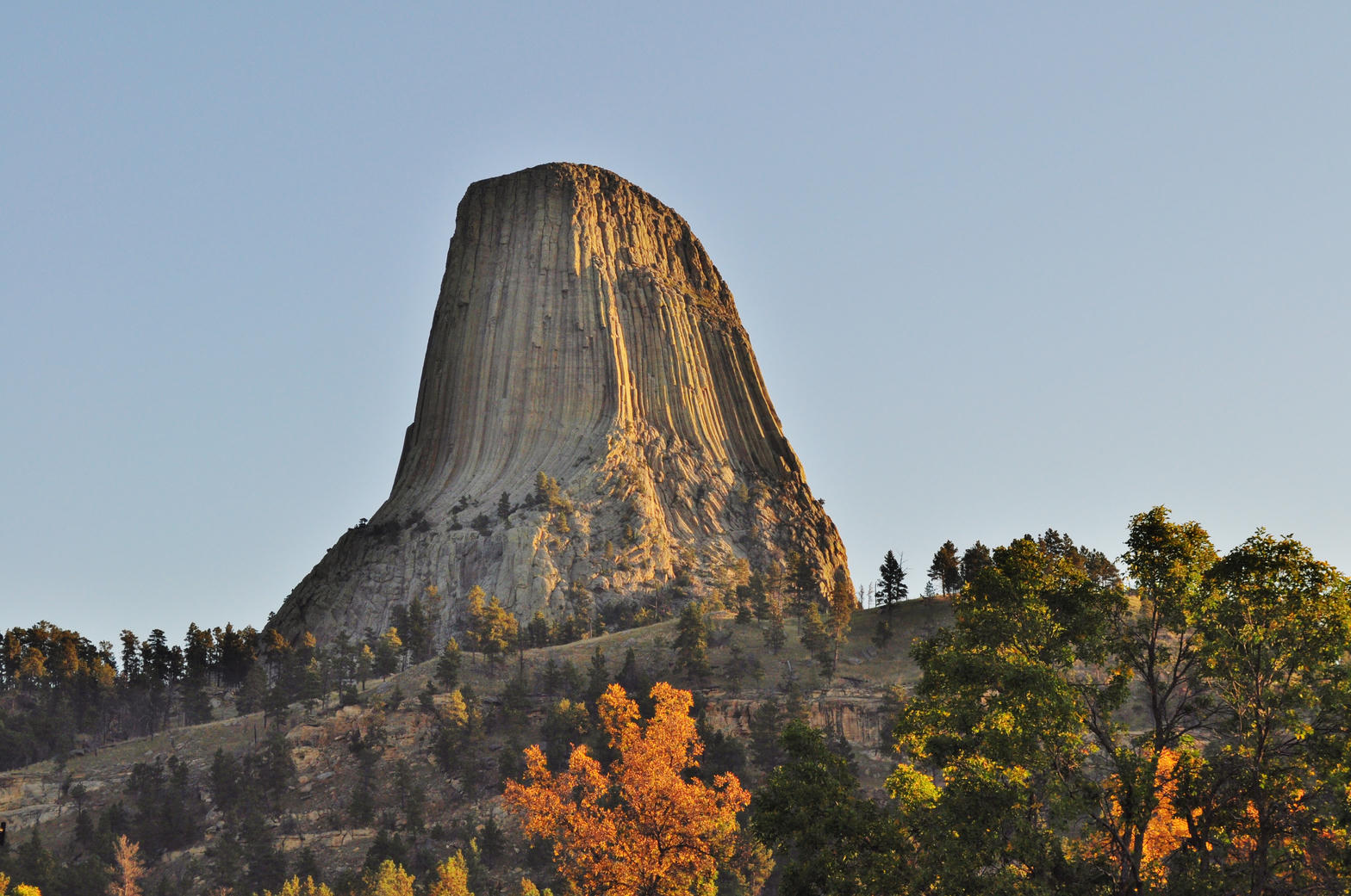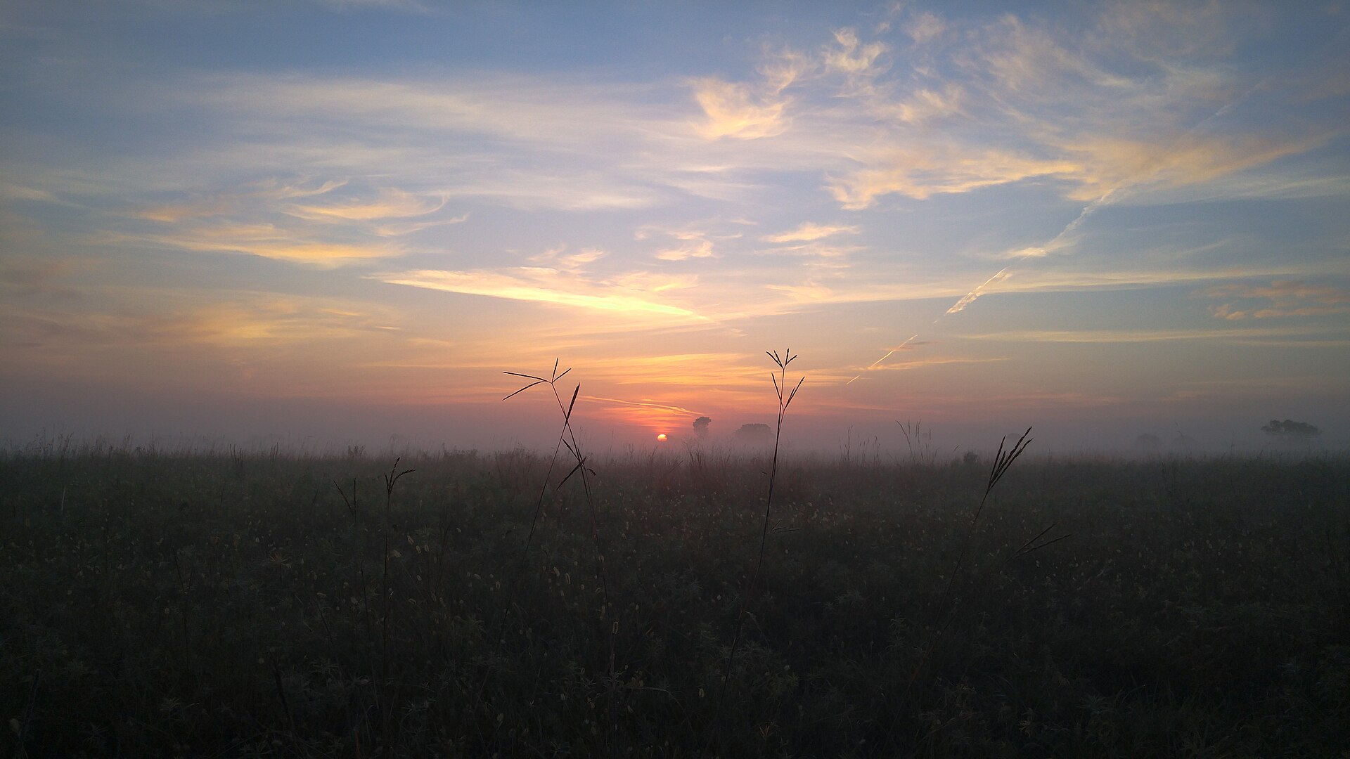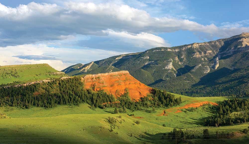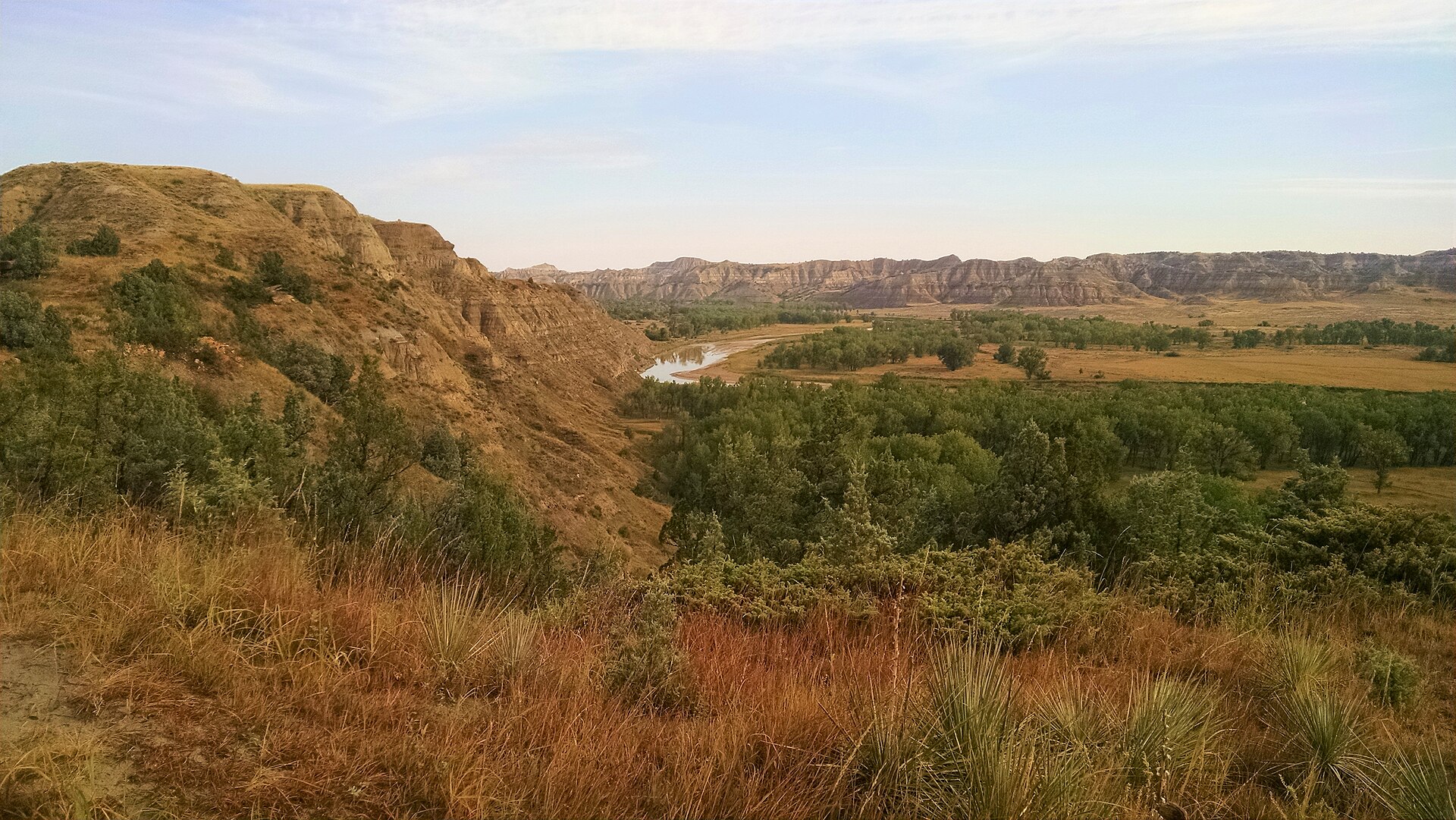
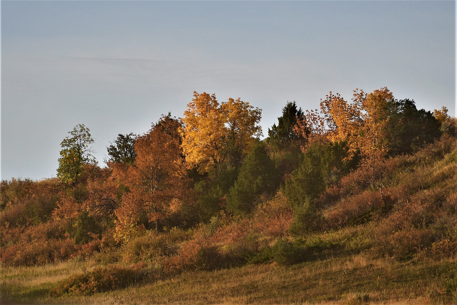
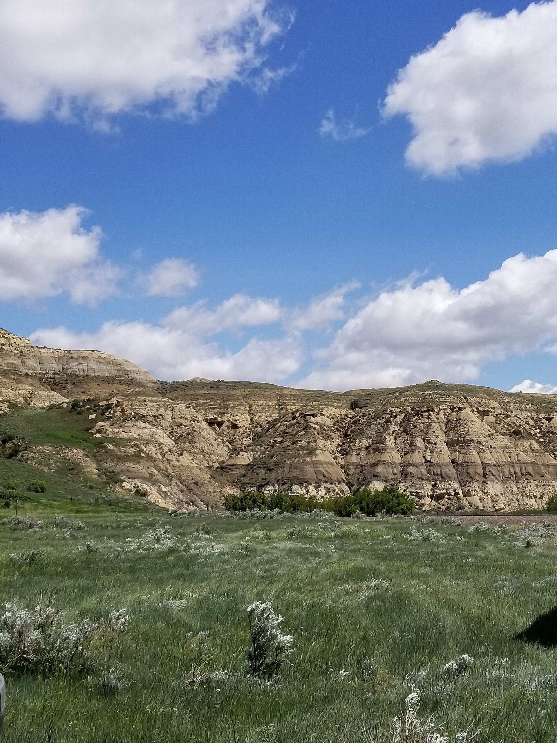
Fig. 1River breaks and grass on Little Missouri National Grassland
Landform
USFS grass and painted hills at Burnt Hills — one Forest Service unit on Little Missouri National Grassland, not a second park plate.
Field note
Burnt Hills looks over USFS ground: grass, juniper, and a river cut the Forest Service kept. Watford City is south; the park units sit apart. Autumn cottonwood and gold grass are the season. This is one plate for Little Missouri National Grassland / Burnt Hills — not Theodore Roosevelt National Park and not a second grassland slug.
Burnt Hills is a USFS overlook on Little Missouri National Grassland: grass, juniper, and a river cut the Forest Service kept. Watford City is south. One plate for this grassland unit — not a second Burnt Hills slug, and not Theodore Roosevelt National Park.