Landform
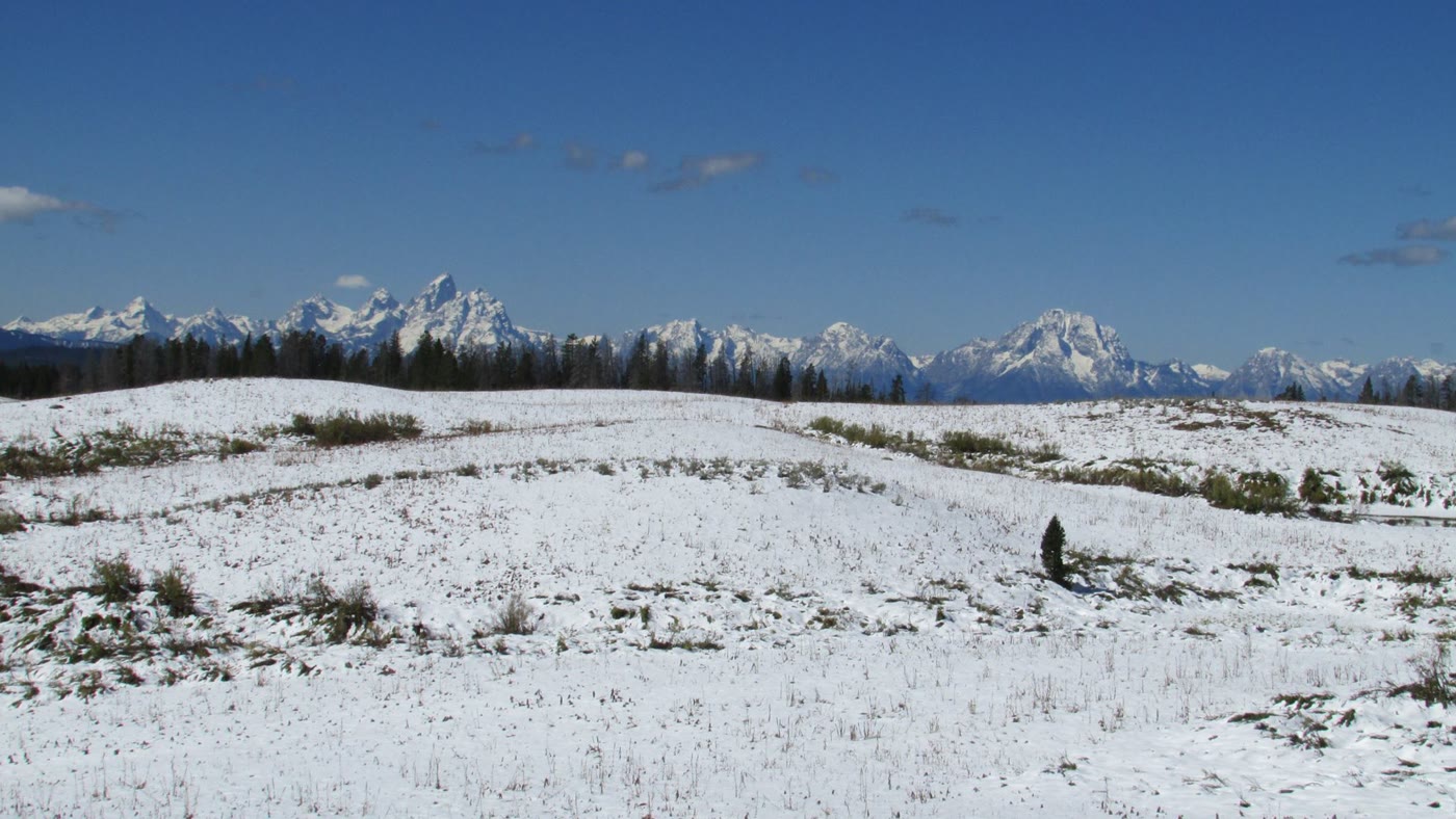
A high divide meadow with the Teton Range standing up to the west.
Field note
Snow stays late. The pass is meadow and timber, then the range stands like a wall. This is not the park road — it is the way in from the Wind River side.
The Field Atlas
0/363Alpine chapter · 43.75° N · 110.06° W
A high divide meadow with the Teton Range standing up to the west.
Snow stays late. The pass is meadow and timber, then the range stands like a wall. This is not the park road — it is the way in from the Wind River side.
A private leaf
Instant paper, this copy only. Write on the white — a line the walk still owes you.
0 / 24
Opening the leaf…
Onward
The nearest plates, by the miles.
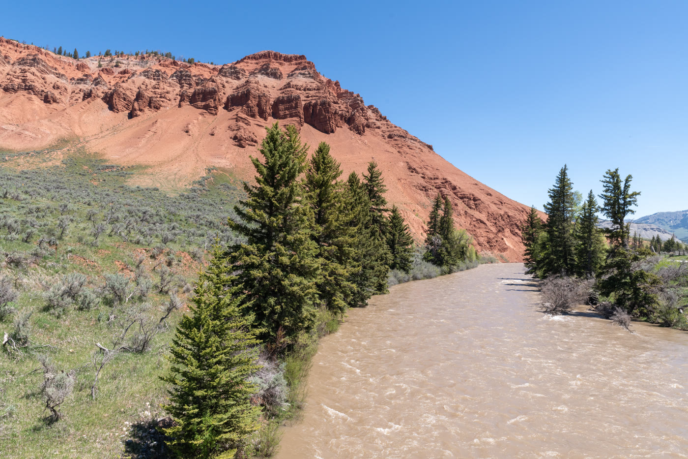 Gros Ventre Red Hills22 miles · WyomingCLXI
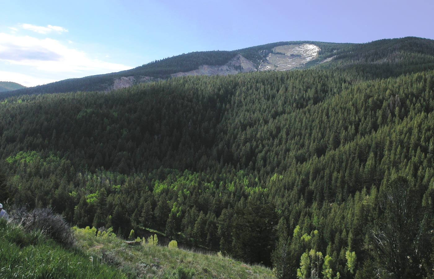 Gros Ventre Slide26 miles · WyomingCLXII
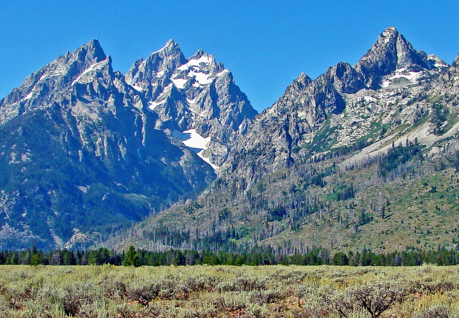 Grand Teton31 miles · WyomingXXXVI
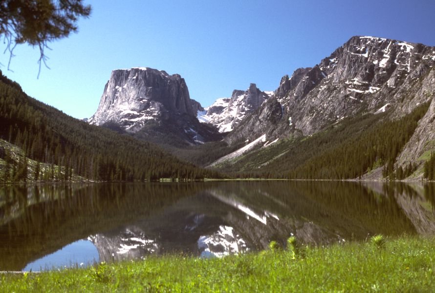 Green River Lakes32 miles · WyomingLXXXV
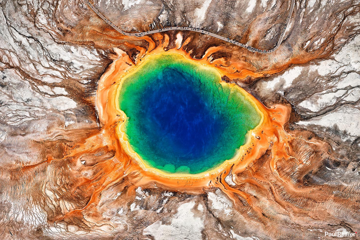 Yellowstone54 miles · WyomingXVI
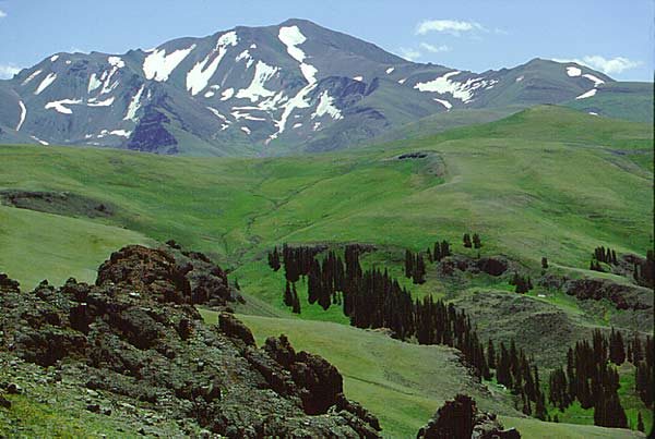 Shoshone National Forest54 miles · WyomingLXXVII
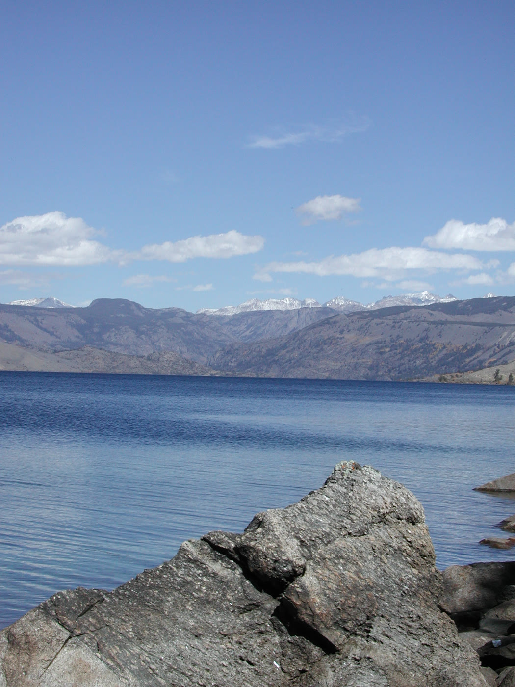 Fremont Lake57 miles · WyomingCLXIV
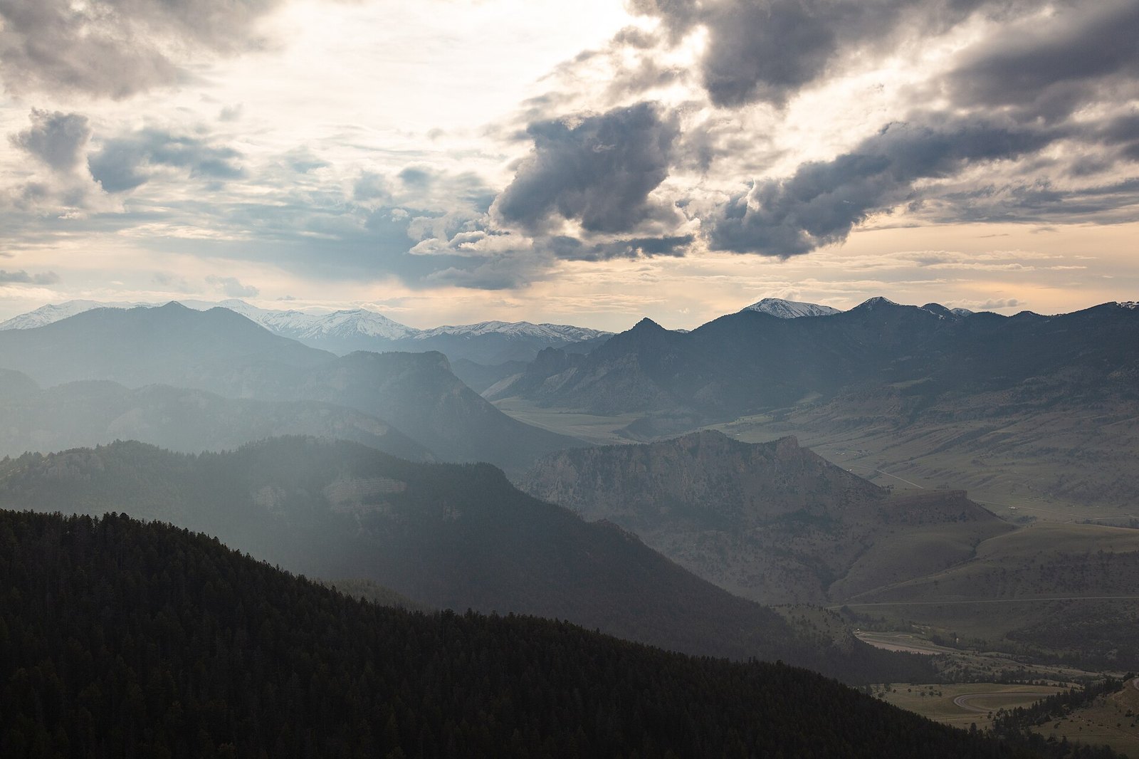 Sunlight Basin76 miles · WyomingXCIII
Alpine chapter
Other US alpine plates. See all alpine destinations in the USA
Fold-out