State chapter
Wild places in Florida
Florida has 8 plates in this atlas, on prairie, coast, wetland, karst, and islands ground.
- Plates
- 8
- Terrains
- Prairie, Coast, Wetland, Karst, Islands
Florida
The plates
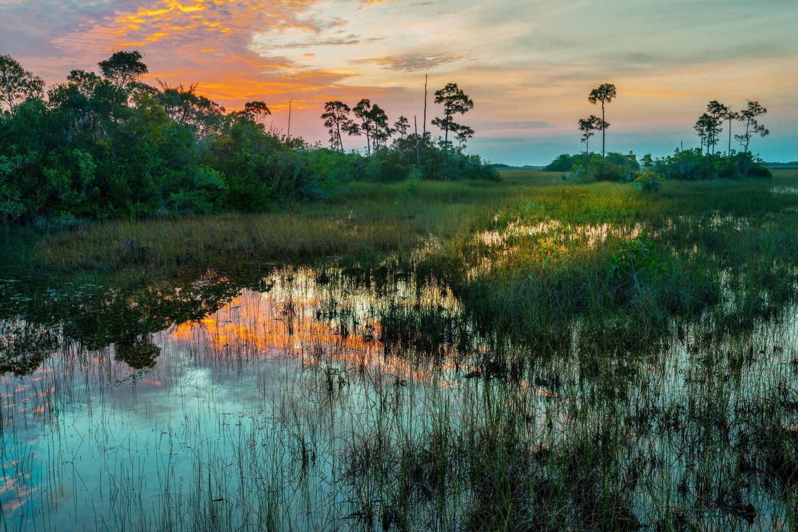
Plate XXVIIIwetland25.3° N · 80.9° W
Everglades
Florida
Not a swamp so much as a river too wide to see.
Open plate
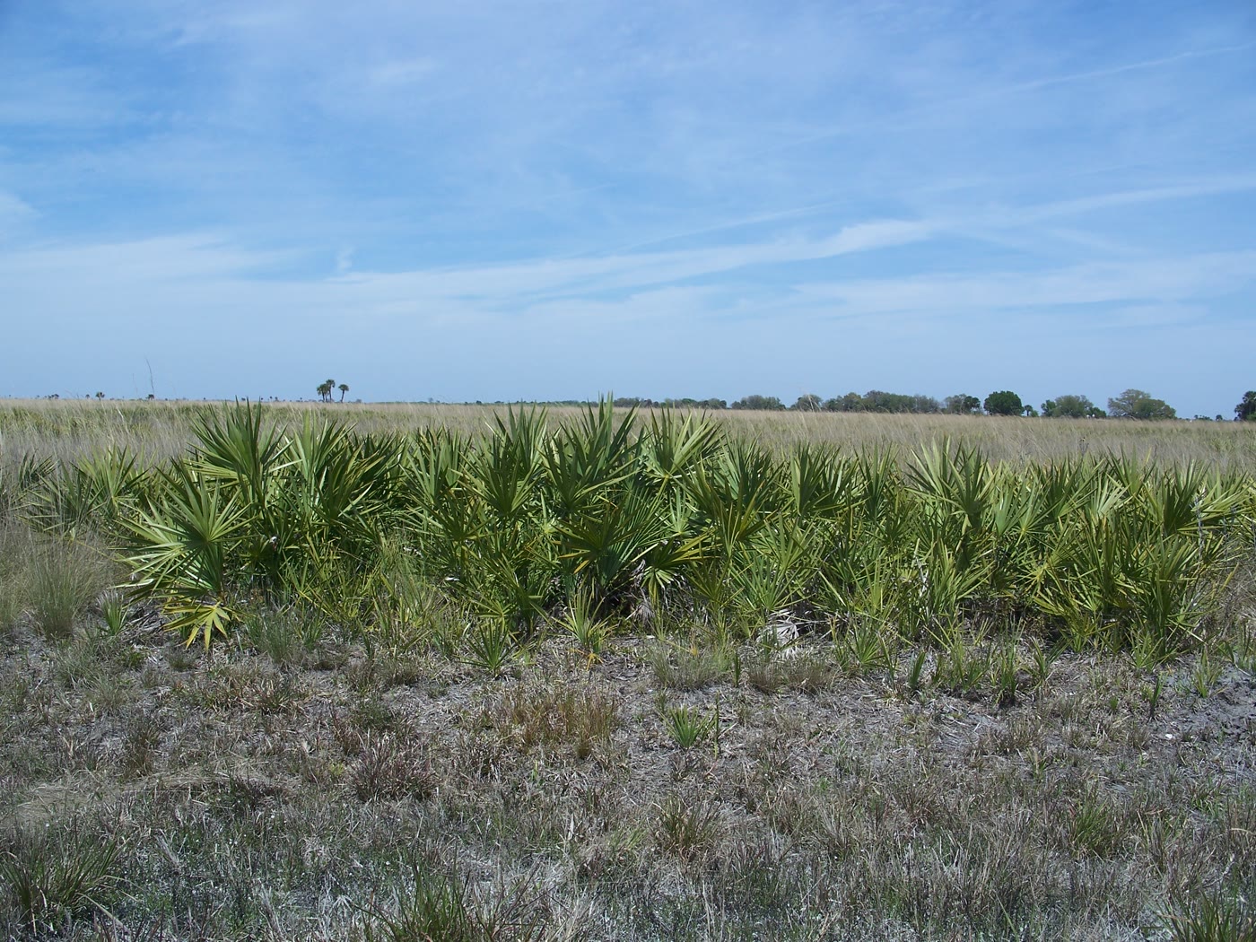 Plate CLV
prairie27.6° N · 81.0° W
Kissimmee Prairie Preserve
Okeechobee County, Florida
The largest remaining Florida dry prairie.
Open plate
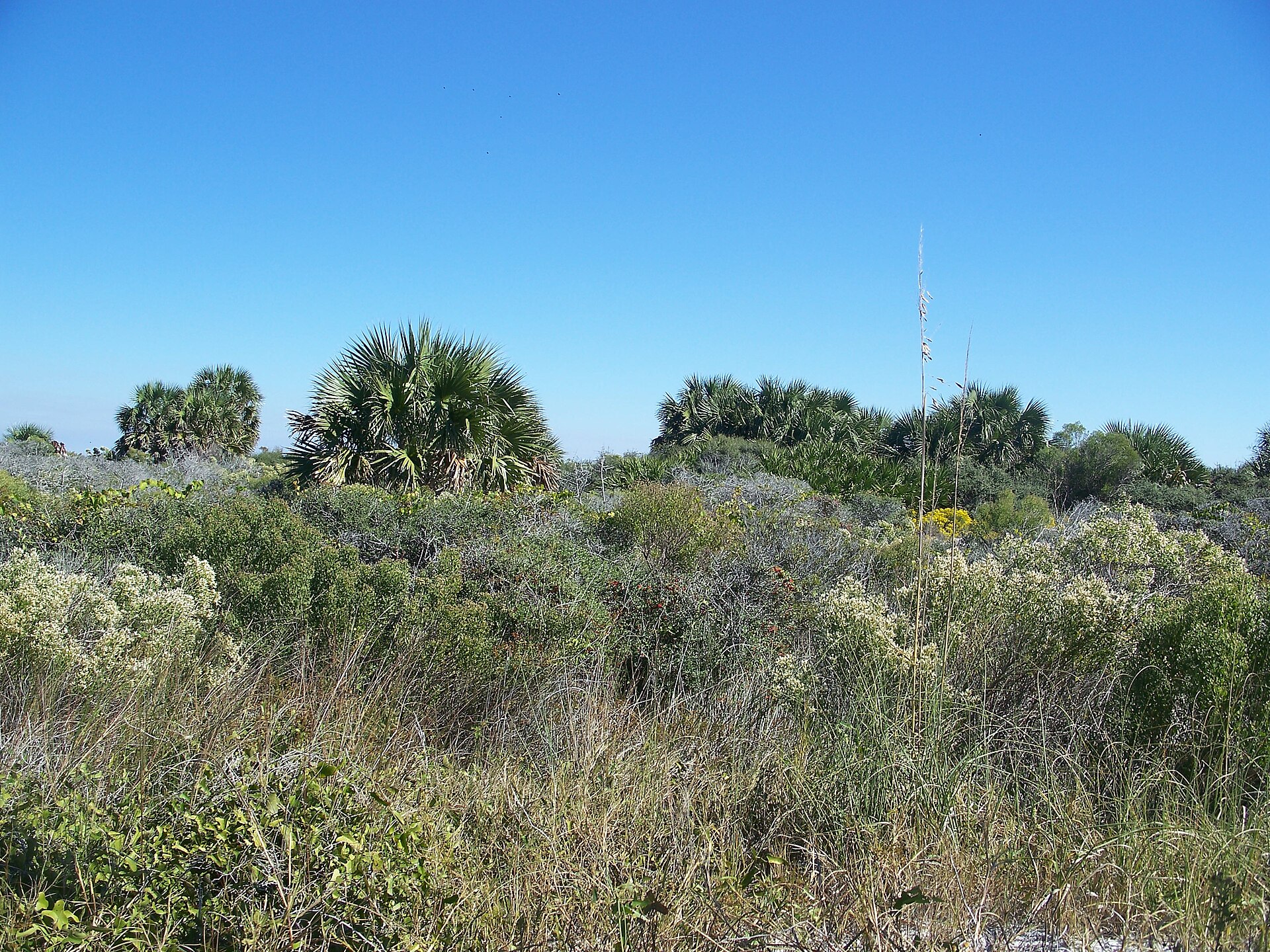 Plate CCCLVI
coast29.8° N · 85.4° W
St. Joseph Peninsula
St. Joseph Peninsula State Park, Gulf County, Florida
A quiet Gulf spit of dune and bay.
Open plate
 Plate CCCLXXI
karst29.7° N · 82.4° W
Devil's Millhopper Geological State Park
near Gainesville, Florida
A round sink the size of a small canyon, with a stair into the shade.
Open plate
 Plate CCCLXXII
karst30.0° N · 82.8° W
Ichetucknee Springs State Park
Columbia County, Florida
Limestone water, boiled up blue and then laid out as a river.
Open plate
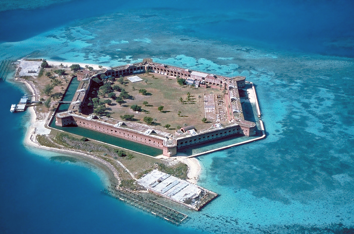 Plate CCCLXXXIX
island24.6° N · 82.9° W
Dry Tortugas National Park
Garden Key, 70 miles west of Key West, Florida
A brick fort on a reef, a day's boat from Key West.
Open plate
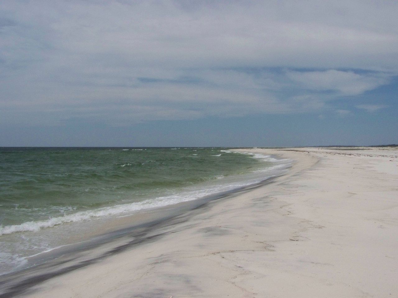 Plate CCCXCIII
island30.4° N · 87.0° W
Gulf Islands National Seashore
Ship, Horn, and Petit Bois islands, Mississippi / Florida
White-sand islands sitting in the Mississippi Sound.
Open plate
 Plate CCCXCIV
island25.5° N · 80.2° W
Biscayne National Park
northern Florida Keys, south of Miami, Florida
A national park that is almost all water.
Open plate