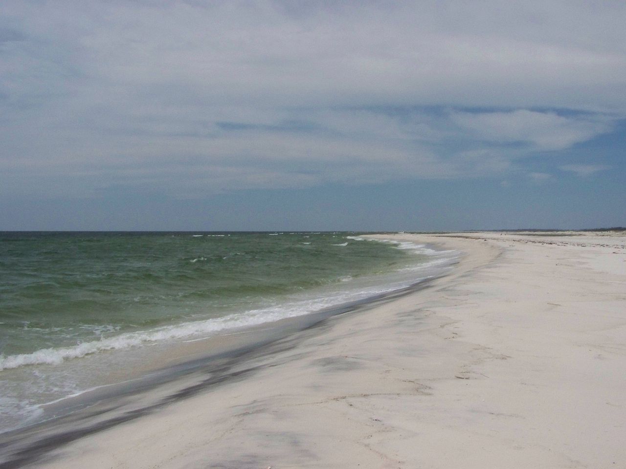
Fig. 1
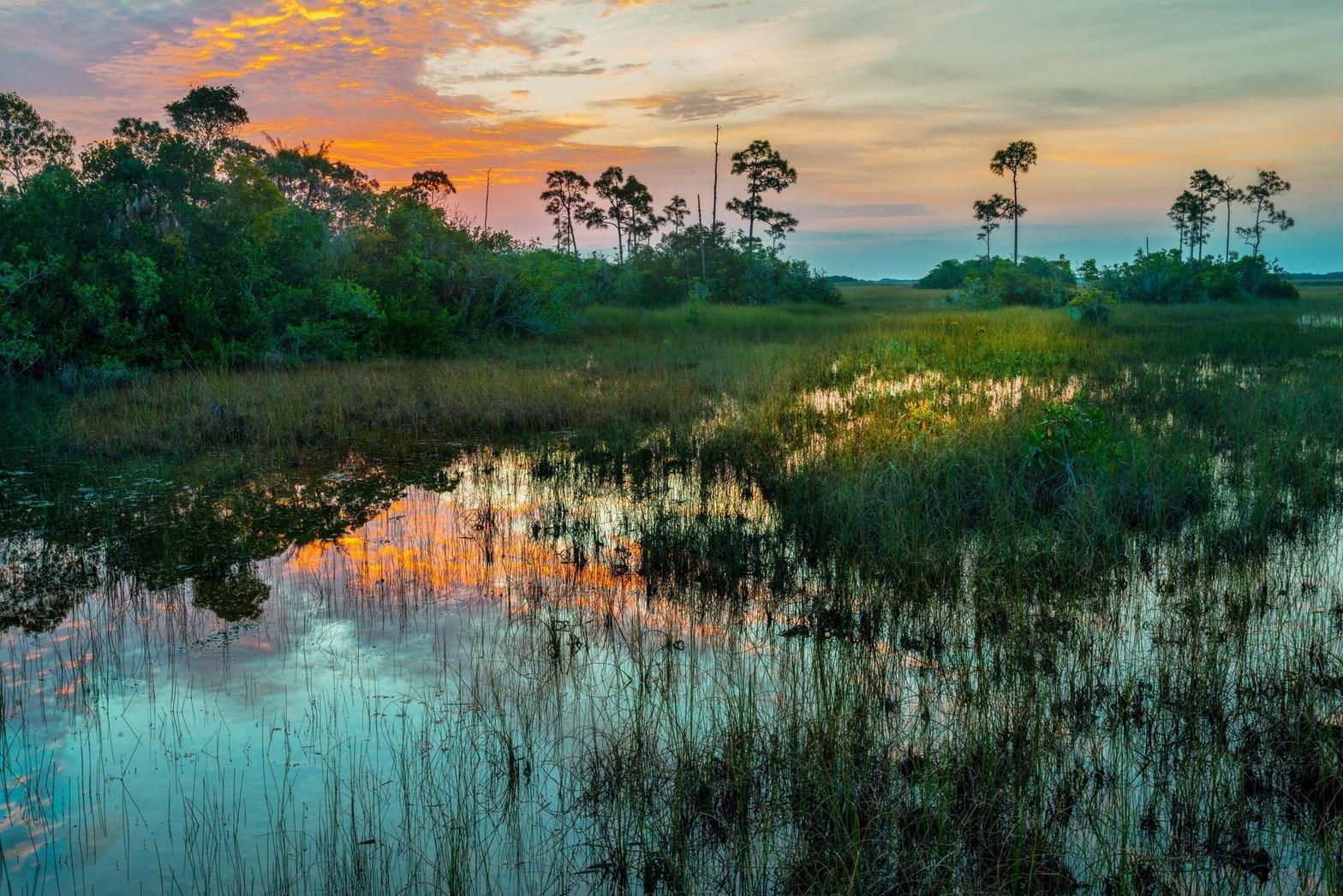
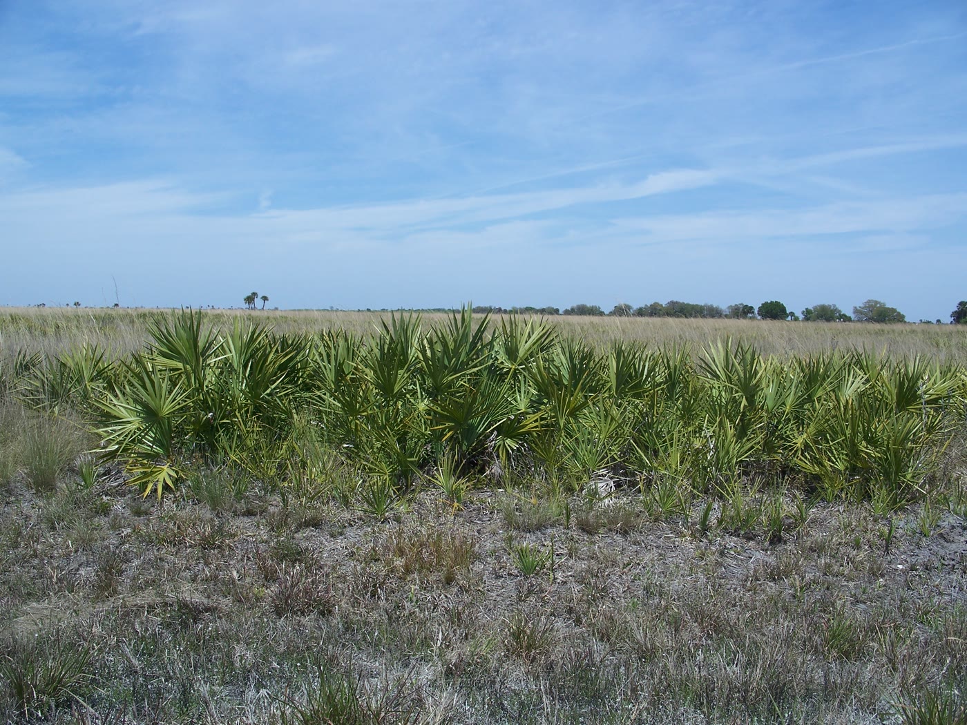
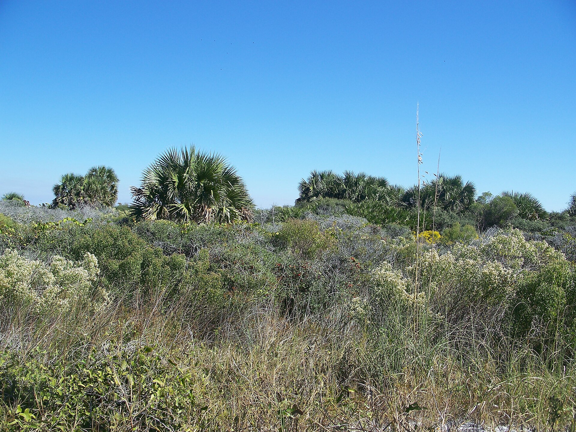
A picture of Biscayne National Park taken by me
Landform
A mostly underwater park: mangrove shore, the northernmost Florida Keys, and a living coral reef.
Field note
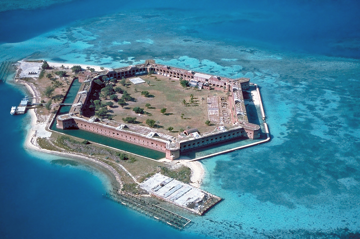
The National Park Service administers Biscayne National Park. About 95 percent of it is water. Mangrove shoreline, the northern keys, and a coral reef are the landform. Boca Chita and Elliott Key are the keys visitors land on. There is no through-road. Dry Tortugas is the farther reef.