State chapter
Wild places in Nevada
Nevada has 10 plates in this atlas, on desert and alpine ground.
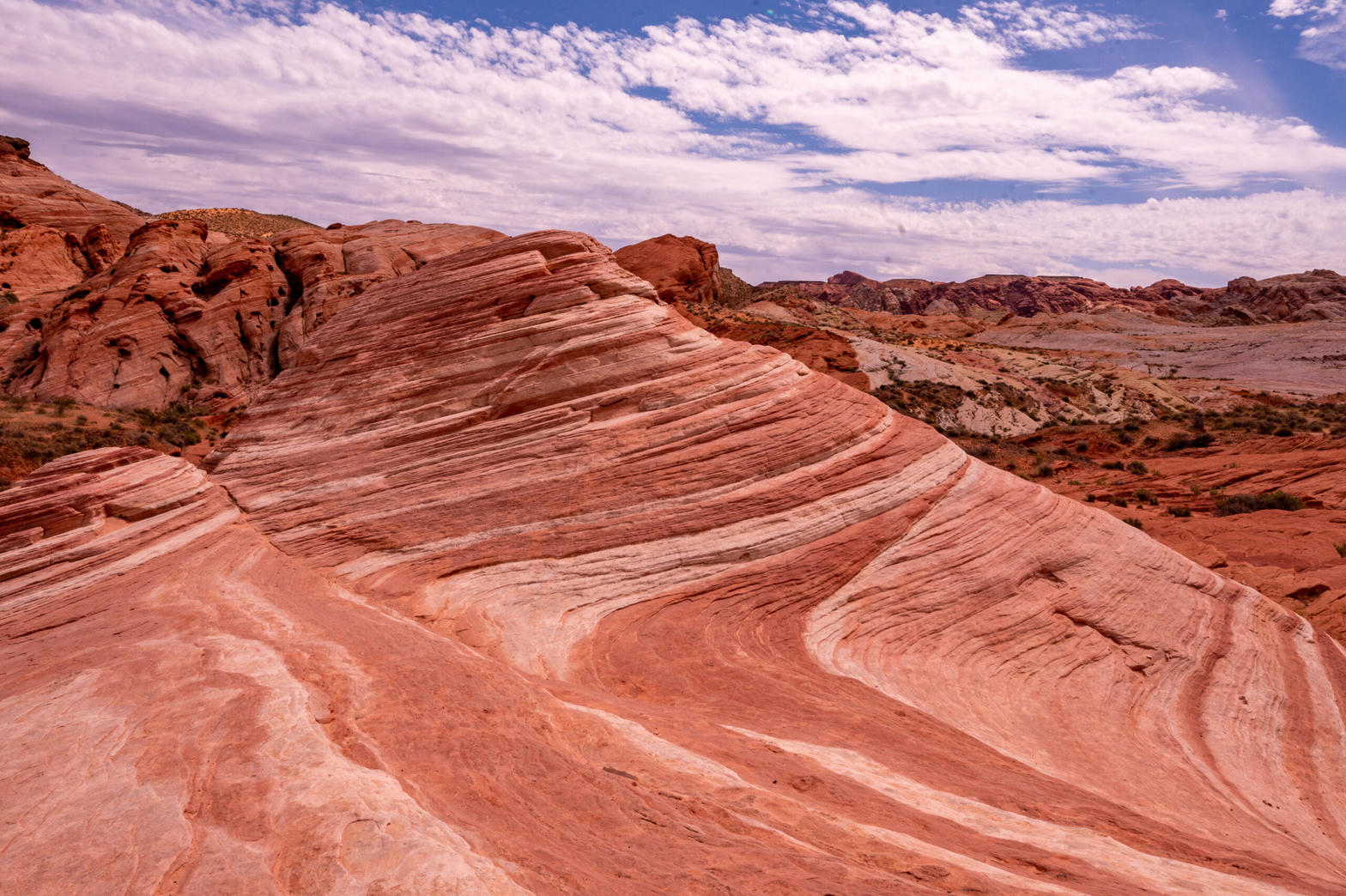
FrontispieceValley of Fire, Nevada
- Plates
- 10
- Terrains
- Desert, Alpine
Nevada
The plates
Plate XXXIVValley of Fire
desertMojave Desert, near Lake Mead, Nevada
A small desert of flame-colored stone, easily missed.
36.5° N · 114.5° WOpen plate →
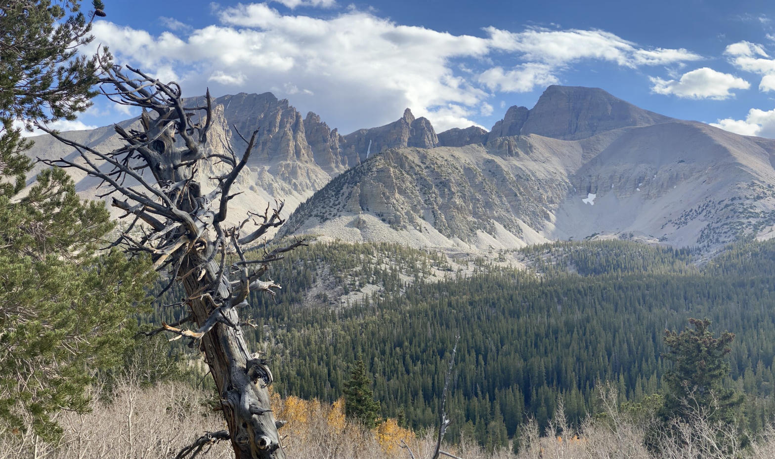 Plate XXXV
Great Basin
alpineSnake Range, near Baker, Nevada
The emptiest national park, and one of the oldest forests.
39.0° N · 114.3° WOpen plate →
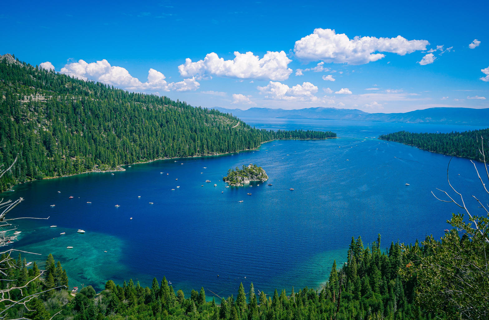 Plate XLI
Lake Tahoe
alpineSierra Nevada / Carson Range, California / Nevada
A high blue bowl the Sierra could not quite drain.
38.9° N · 120.0° WOpen plate →
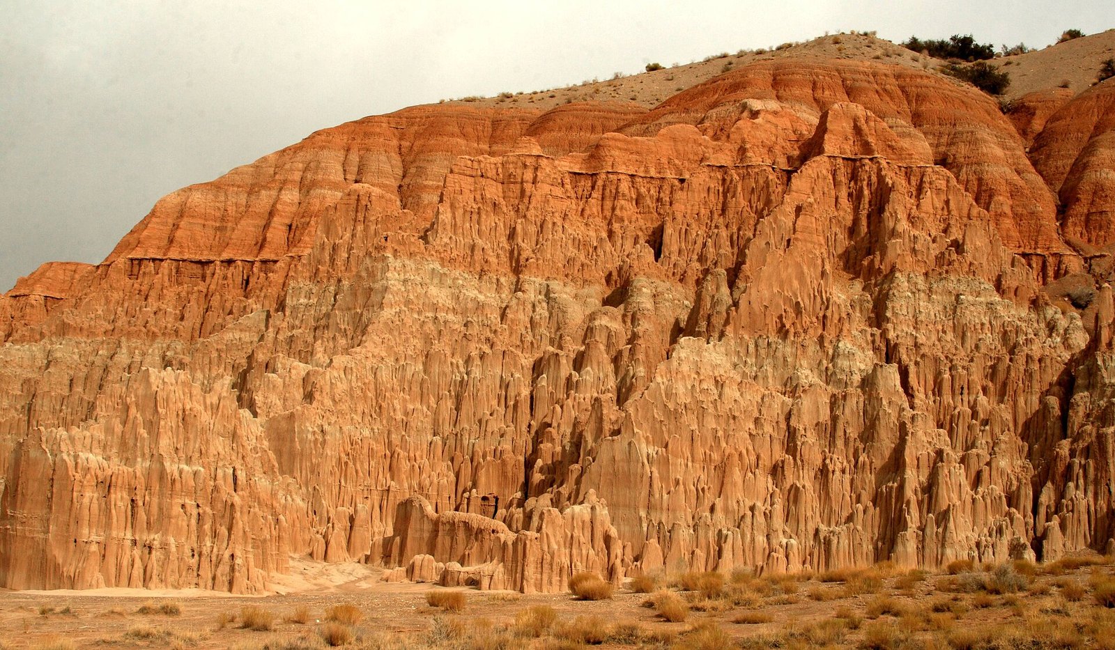 Plate CXXVIII
Cathedral Gorge
deserteastern Nevada, near Panaca, Nevada
A church the weather built out of lakebed.
37.8° N · 114.4° WOpen plate →
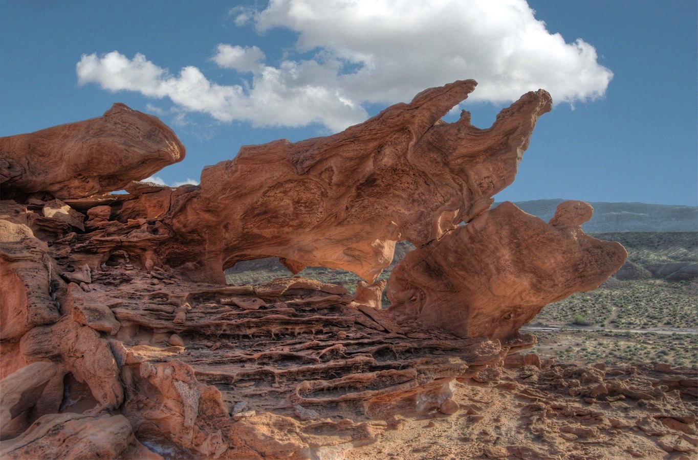 Plate CXXIX
Little Finland
desertGold Butte, northeast of Las Vegas, Nevada
A red stone that learned to be lace.
36.4° N · 114.2° WOpen plate →
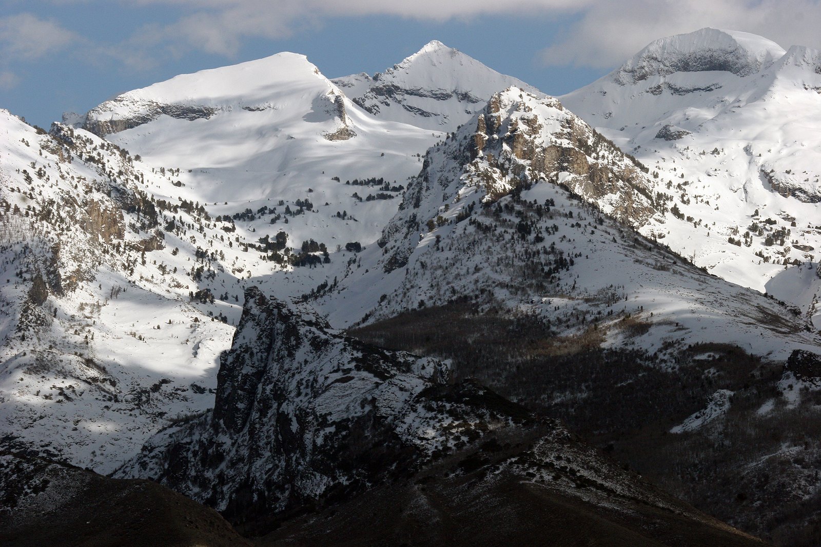 Plate CXXXIV
Ruby Mountains
alpineElko County, Lamoille Canyon, Nevada
An alpine range hiding in a desert state.
40.6° N · 115.5° WOpen plate →
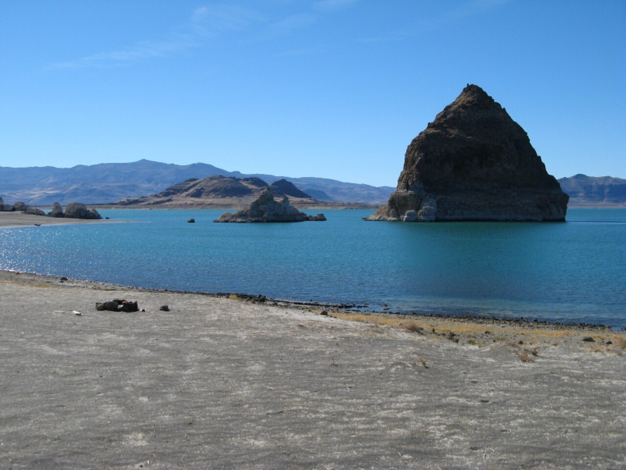 Plate CXL
Pyramid Lake
desertPyramid Lake Paiute Reservation, Nevada
A desert sea with a pyramid for an island.
40.0° N · 119.6° WOpen plate →
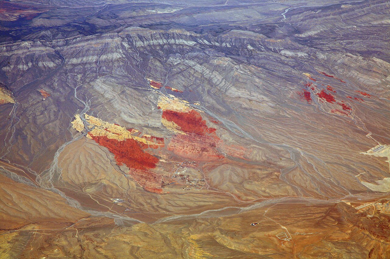 Plate CXLI
Red Rock Canyon
desertSpring Mountains, west of Las Vegas, Nevada
Red stone the city almost hid.
36.1° N · 115.4° WOpen plate →
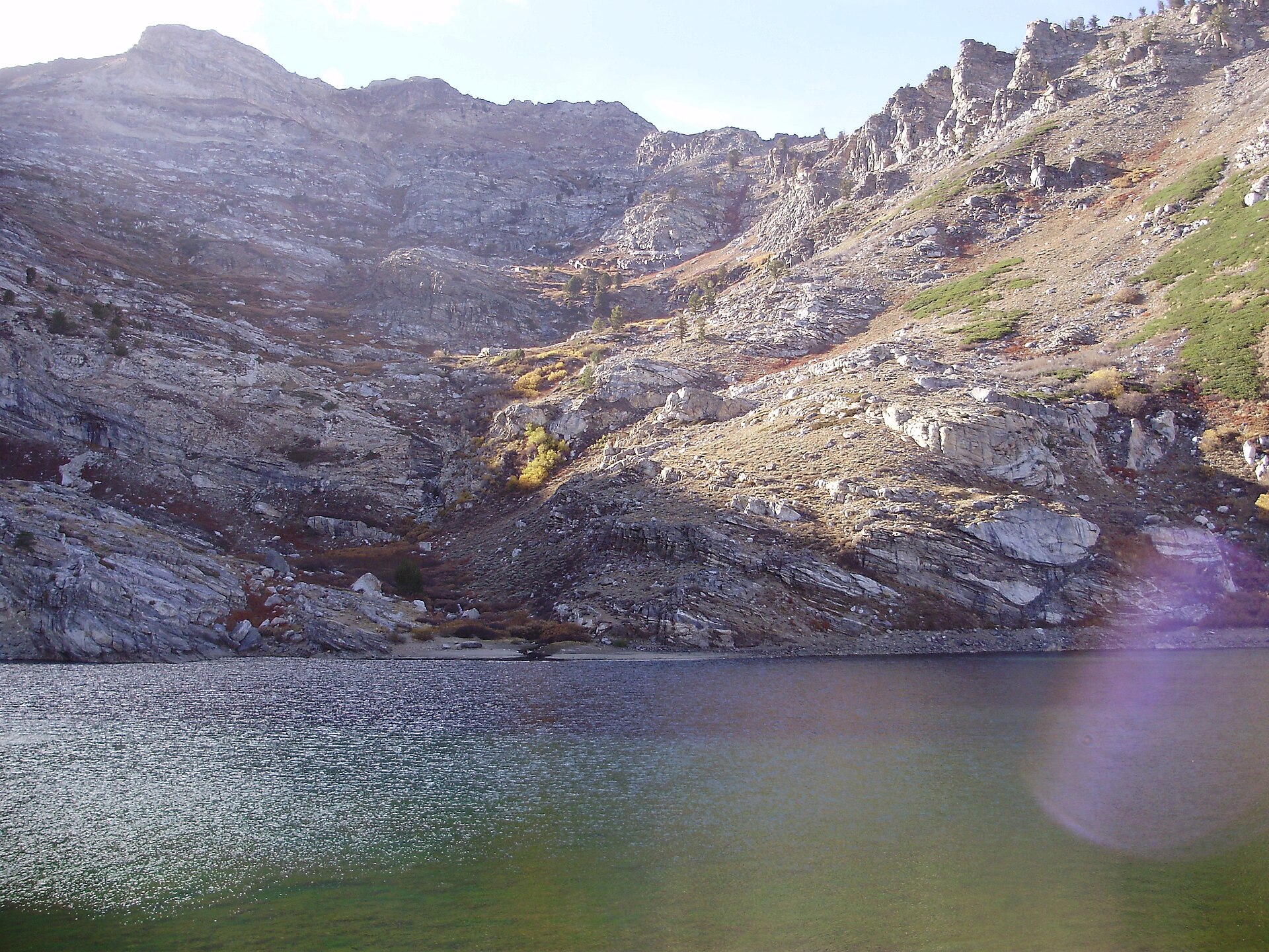 Plate CCCXLVI
Angel Lake
alpineEast Humboldt Range, Elko County, Nevada
A named tarn under Greys Peak.
41.0° N · 115.1° WOpen plate →
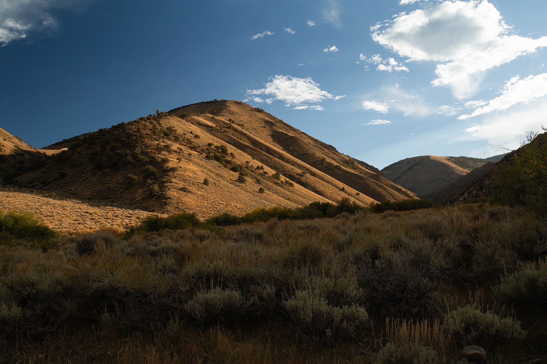 Plate CCCXLVII
Arc Dome
alpineToiyabe Range, Nye County, Nevada
The high point of the Toiyabe Range.
38.8° N · 117.4° WOpen plate →