State chapter
Wild places in Wyoming
Wyoming has 30 plates in this atlas, on hills, canyon, desert, dunes, alpine, forest, and volcanic ground.
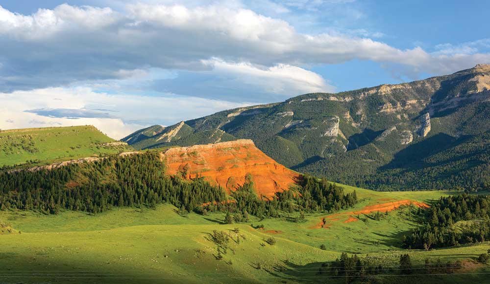
FrontispieceChief Joseph Byway, Wyoming
- Plates
- 30
- Terrains
- Hills, Canyon, Desert, Dunes, Alpine, Forest, Volcanic
Wyoming
The plates
Plate XCIIChief Joseph Byway
hillsPark County, Cody to the Beartooth, Wyoming
A red hill in a green park, and a mountain watching it.
44.7° N · 109.4° WOpen plate →
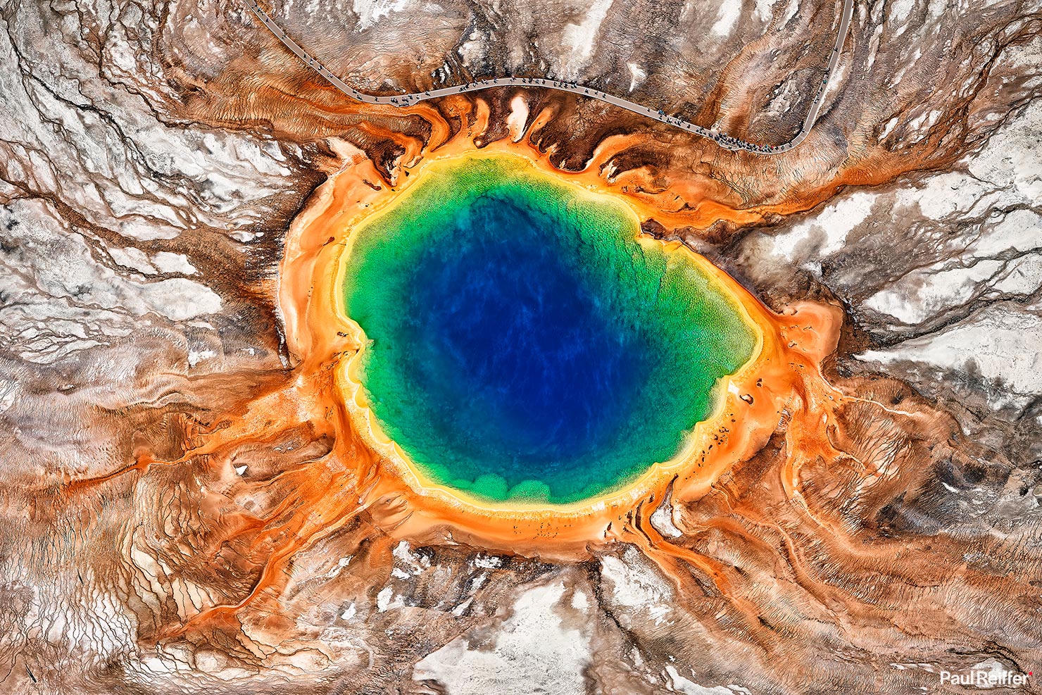 Plate XVI
Yellowstone
volcanicYellowstone Caldera, Wyoming
The ground here is still being written by fire.
44.4° N · 110.6° WOpen plate →
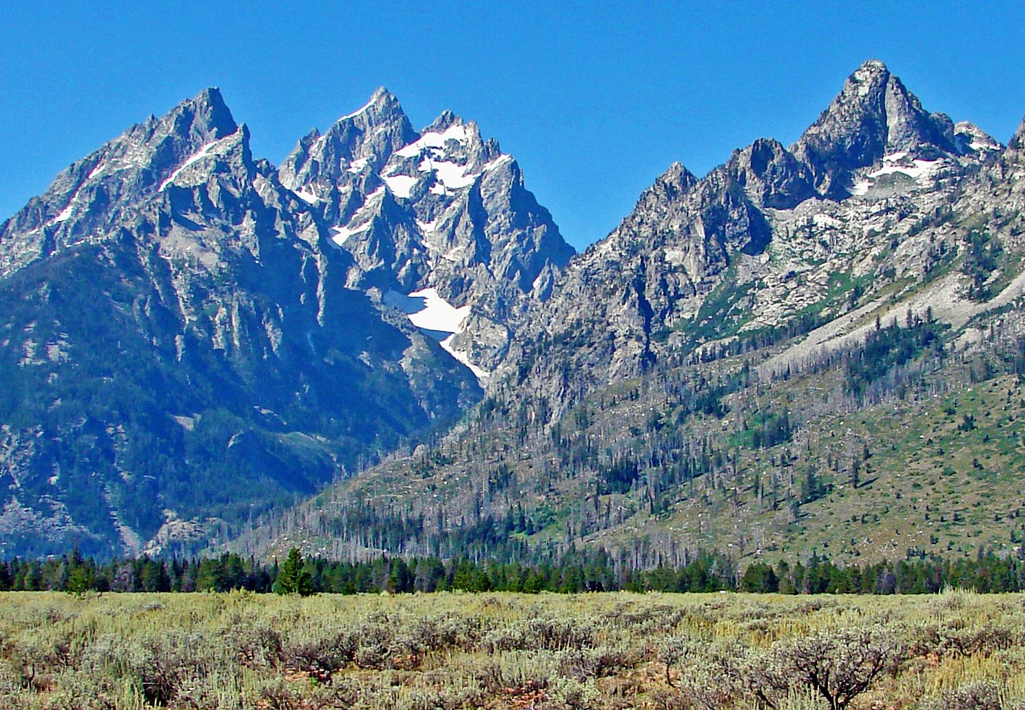 Plate XXXVI
Grand Teton
alpineTeton Range, Jackson Hole, Wyoming
Mountains that begin without asking permission of the valley.
43.8° N · 110.7° WOpen plate →
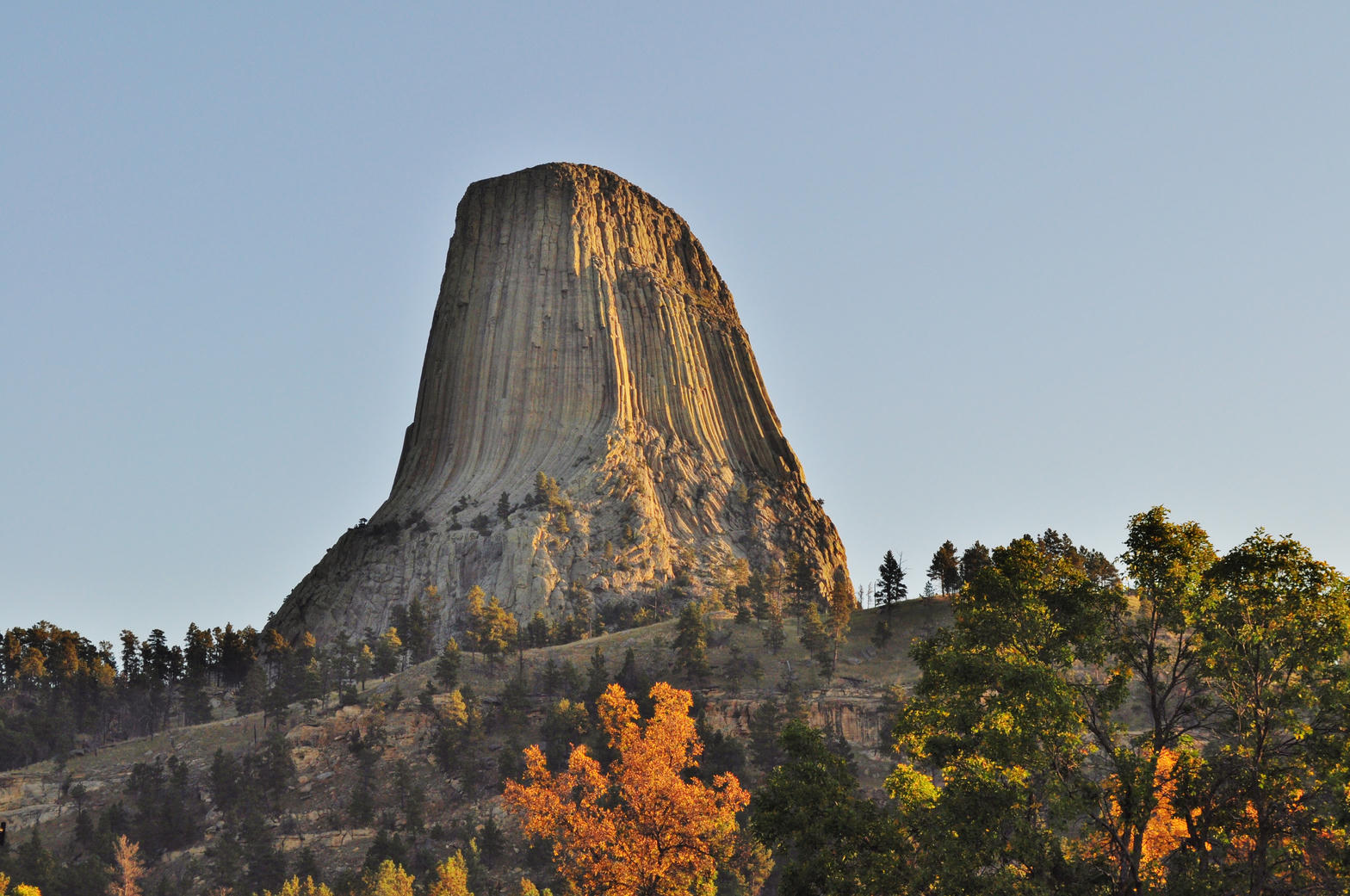 Plate XXXVII
Devils Tower
volcanicBear Lodge Mountains, Black Hills, Wyoming
A single stone column standing in a sea of prairie.
44.6° N · 104.7° WOpen plate →
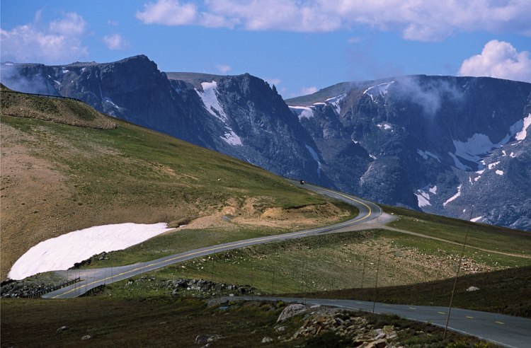 Plate LXXII
Beartooth Pass
alpineBeartooth Highway, Absaroka–Beartooth, Montana / Wyoming
A road that climbs until the trees give up.
45.0° N · 109.5° WOpen plate →
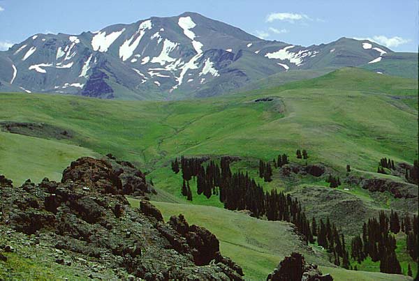 Plate LXXVII
Shoshone National Forest
forestAbsaroka Range, east of Yellowstone, Wyoming
The first forest the country decided to keep.
44.5° N · 109.6° WOpen plate →
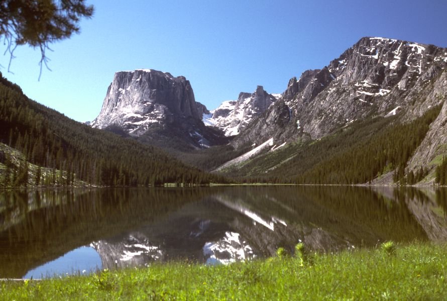 Plate LXXXV
Green River Lakes
alpineWind River Range, Bridger-Teton National Forest, Wyoming
A flat-topped mountain doubled in still water.
43.3° N · 109.9° WOpen plate →
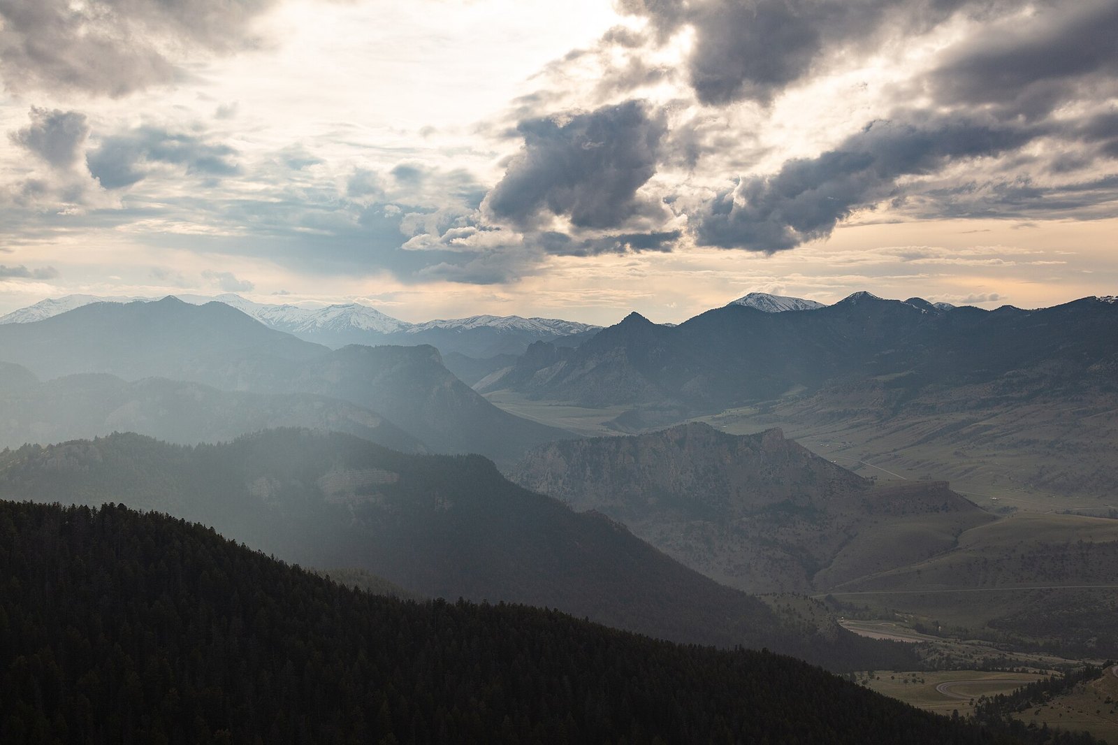 Plate XCIII
Sunlight Basin
alpineAbsaroka Range, north of Cody, Wyoming
A hidden valley the mountains forgot to close.
44.8° N · 109.5° WOpen plate →
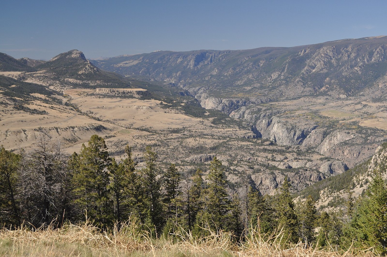 Plate XCIV
Dead Indian Pass
hillsChief Joseph Scenic Byway, Wyoming
A pass that opens the Absarokas like a door.
44.7° N · 109.4° WOpen plate →
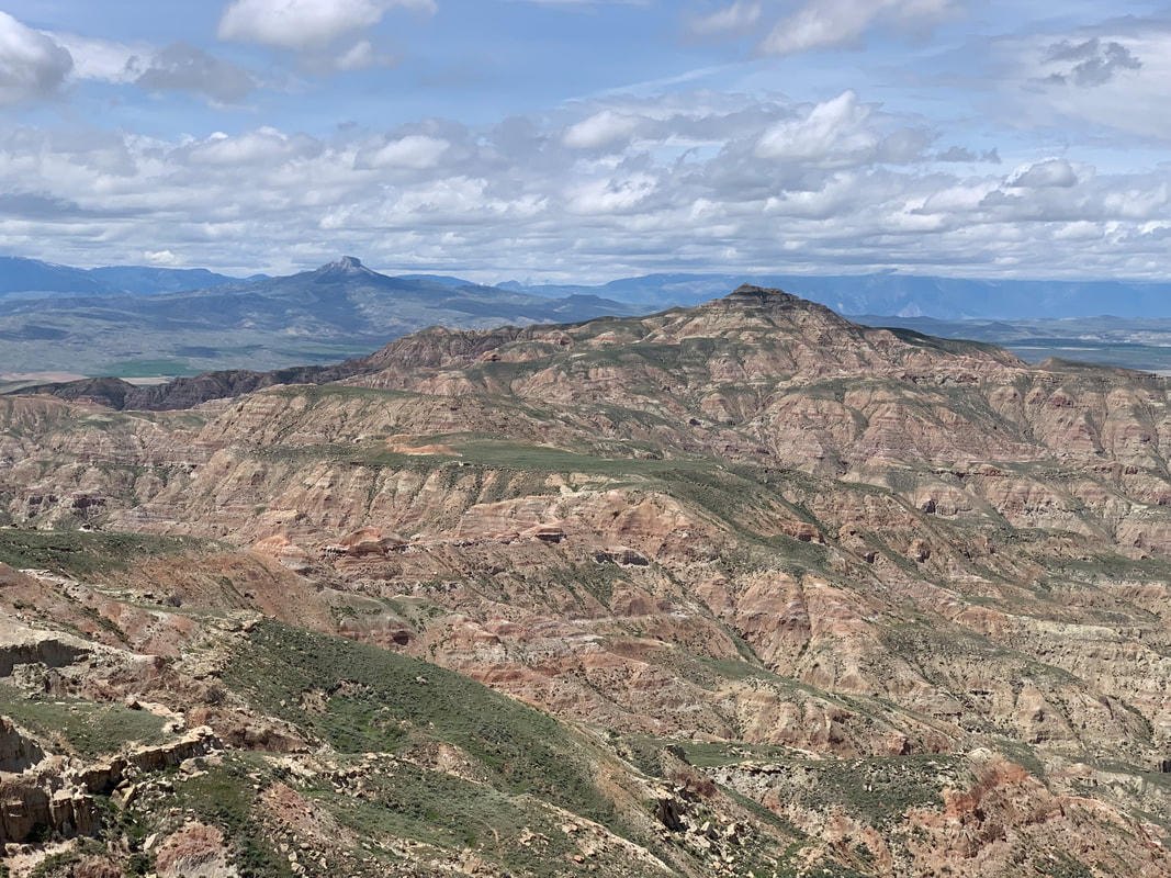 Plate XCV
McCullough Peaks
desertBighorn Basin, east of Cody, Wyoming
A naked range of colored hills the basin kept for itself.
44.6° N · 108.8° WOpen plate →
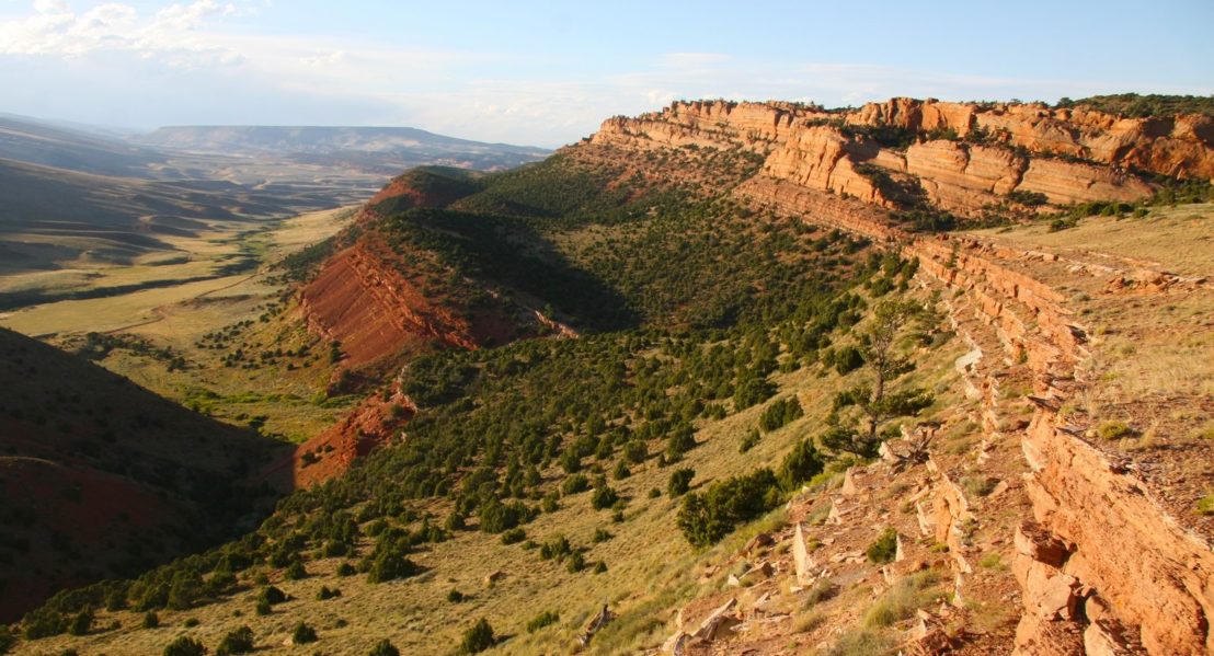 Plate XCVI
Red Canyon
canyonsouth of Lander, Wind River Country, Wyoming
A red book of stone left open beside the highway.
42.7° N · 108.7° WOpen plate →
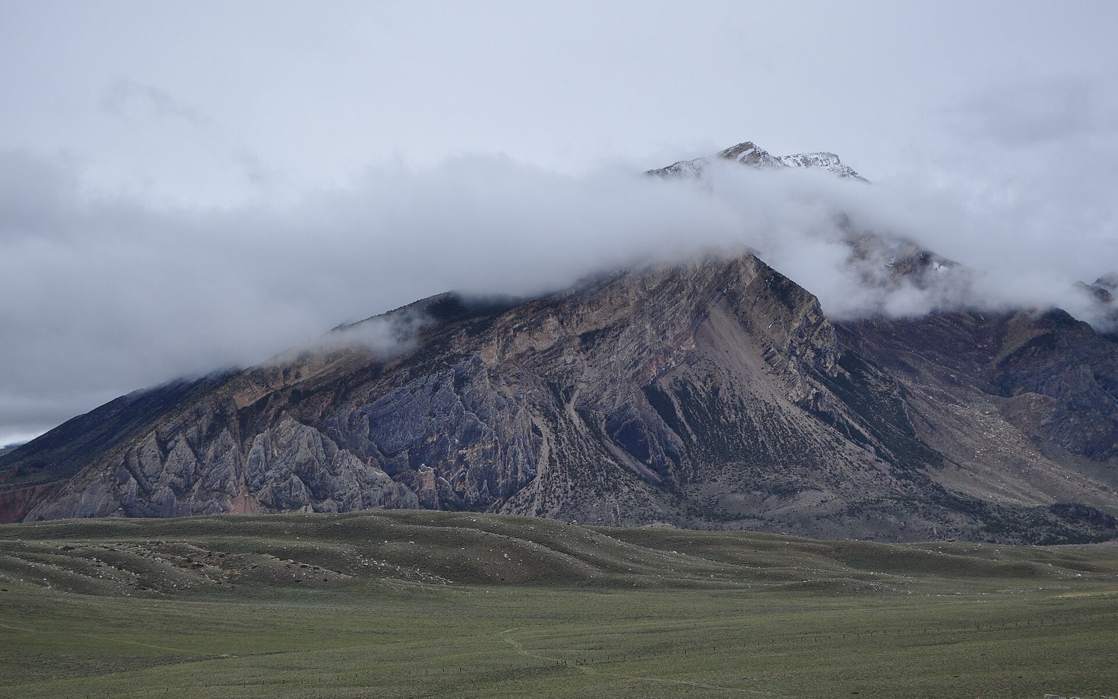 Plate XCVII
Clarks Fork Canyon
canyonClarks Fork of the Yellowstone, Absaroka front, Wyoming
A white canyon the Beartooths cut on their way out.
44.9° N · 109.3° WOpen plate →
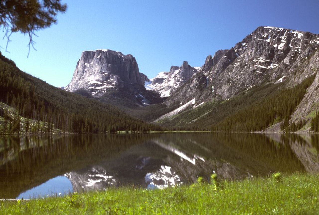 Plate CL
Cirque of the Towers
alpineWind River Range, Bridger Wilderness, Wyoming
A ring of towers around a lake that earned its name.
42.8° N · 109.2° WOpen plate →
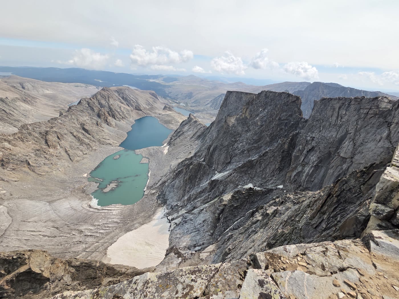 Plate CLVIII
Cloud Peak
alpineBighorn Mountains, Wyoming
The high roof of the Bighorns.
44.4° N · 107.2° WOpen plate →
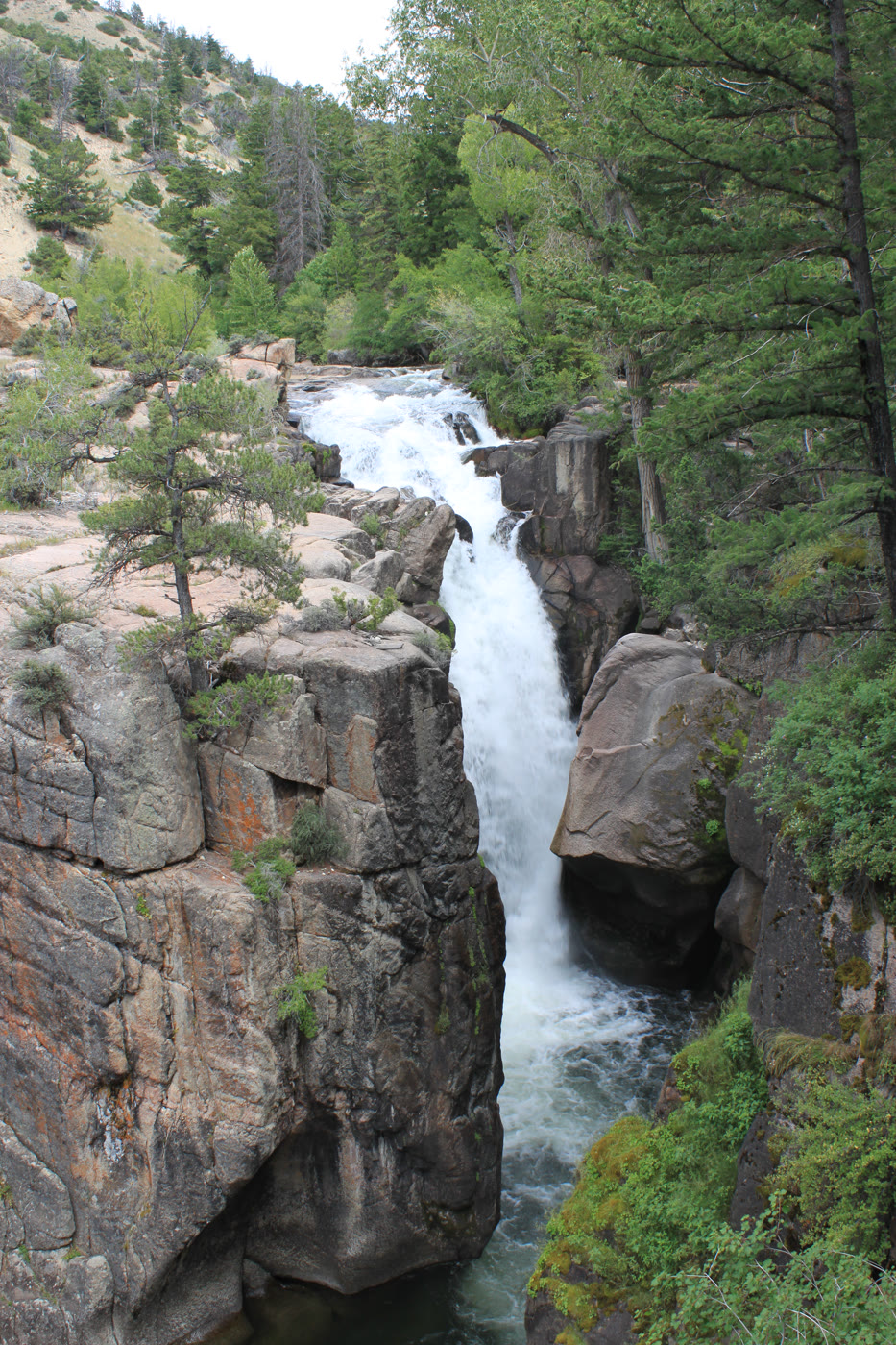 Plate CLIX
Shell Falls
canyonBighorn National Forest, US-14, Wyoming
A short, hard fall the highway stops to hear.
44.6° N · 107.6° WOpen plate →
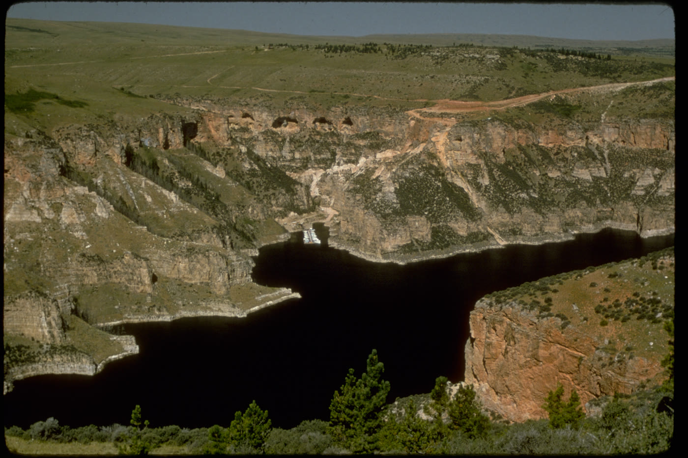 Plate CLX
Bighorn Canyon
canyonBighorn Canyon National Recreation Area, Wyoming / Montana
A canyon the river kept, then a lake filled.
45.0° N · 108.3° WOpen plate →
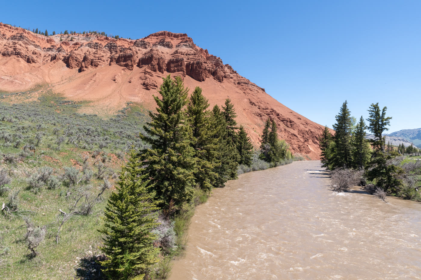 Plate CLXI
Gros Ventre Red Hills
hillseast of Kelly, Wyoming
Red hills the river kept for itself.
43.6° N · 110.5° WOpen plate →
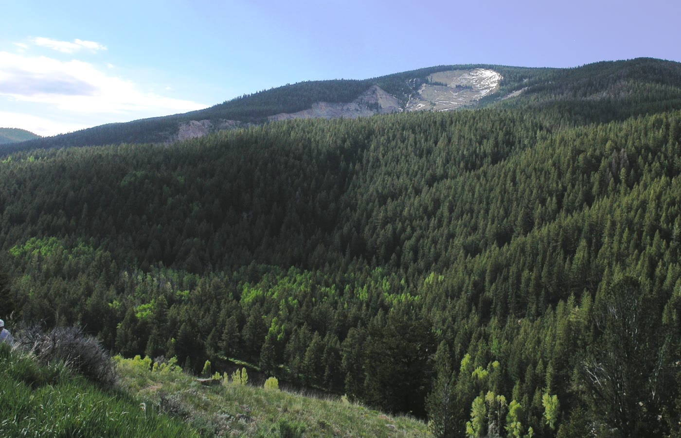 Plate CLXII
Gros Ventre Slide
hillsSlide Lake, Wyoming
The mountain that walked.
43.6° N · 110.5° WOpen plate →
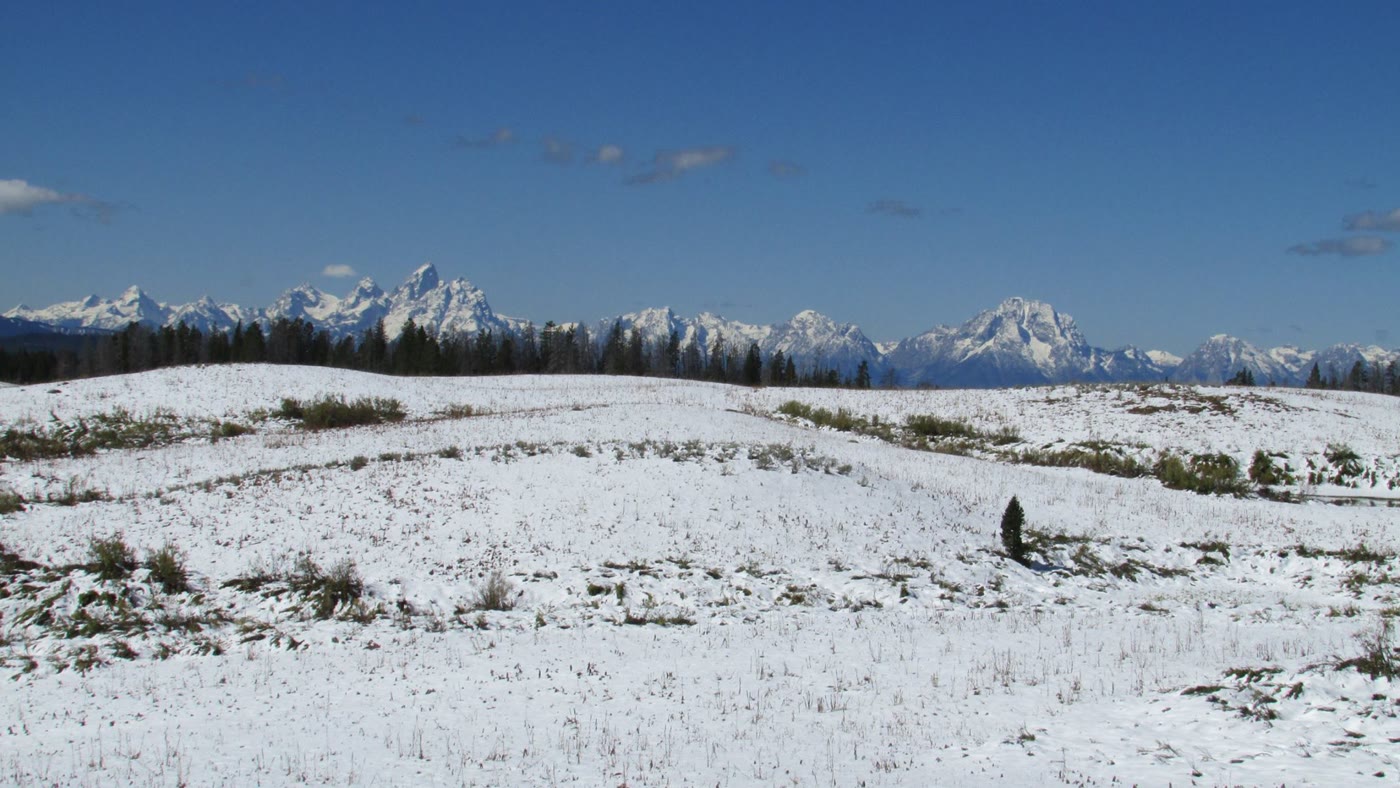 Plate CLXIII
Togwotee Pass
alpineContinental Divide, east of Grand Teton, Wyoming
The east door that first shows the Tetons.
43.8° N · 110.1° WOpen plate →
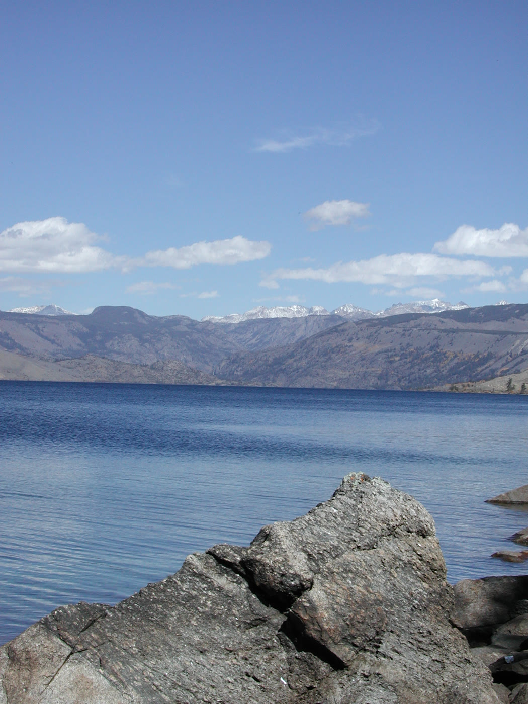 Plate CLXIV
Fremont Lake
alpinenear Pinedale, Wind River Range, Wyoming
A cold lake the glaciers left at the door.
43.0° N · 109.8° WOpen plate →
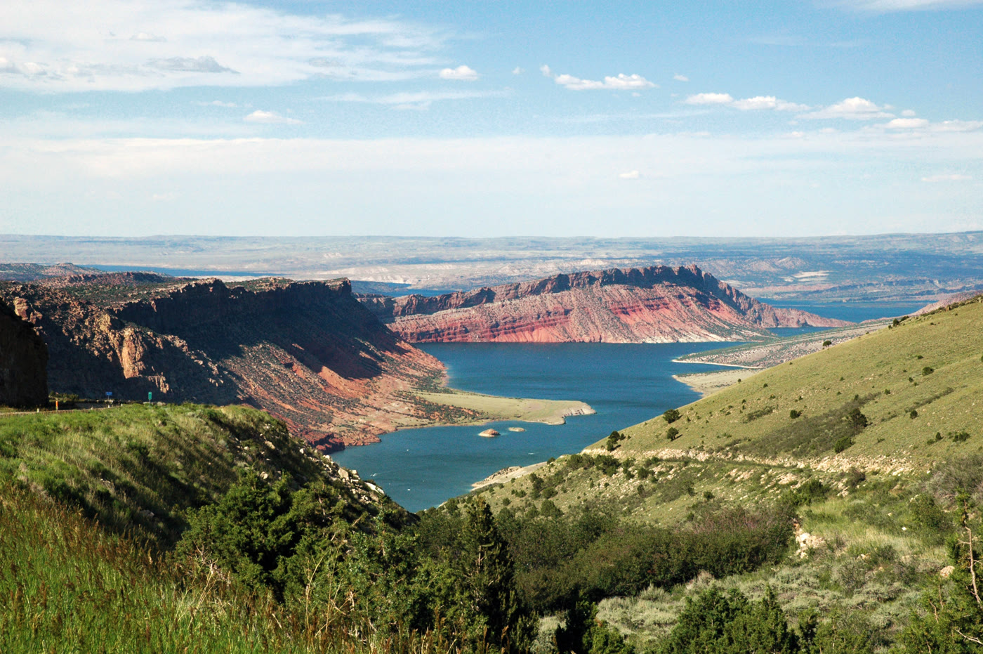 Plate CLXV
Flaming Gorge
canyonFlaming Gorge National Recreation Area, Utah / Wyoming
A red gorge the river turned into a lake.
40.9° N · 109.4° WOpen plate →
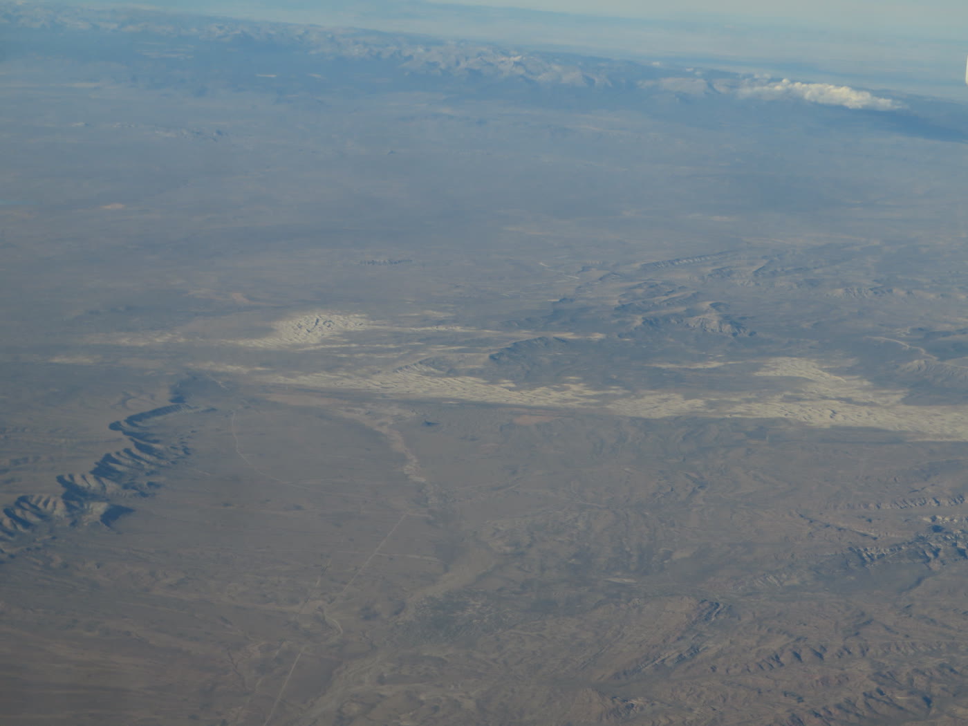 Plate CLXVI
Killpecker Dunes
duneRed Desert, Sweetwater County, Wyoming
Dunes that still move in a desert of sage.
42.0° N · 109.1° WOpen plate →
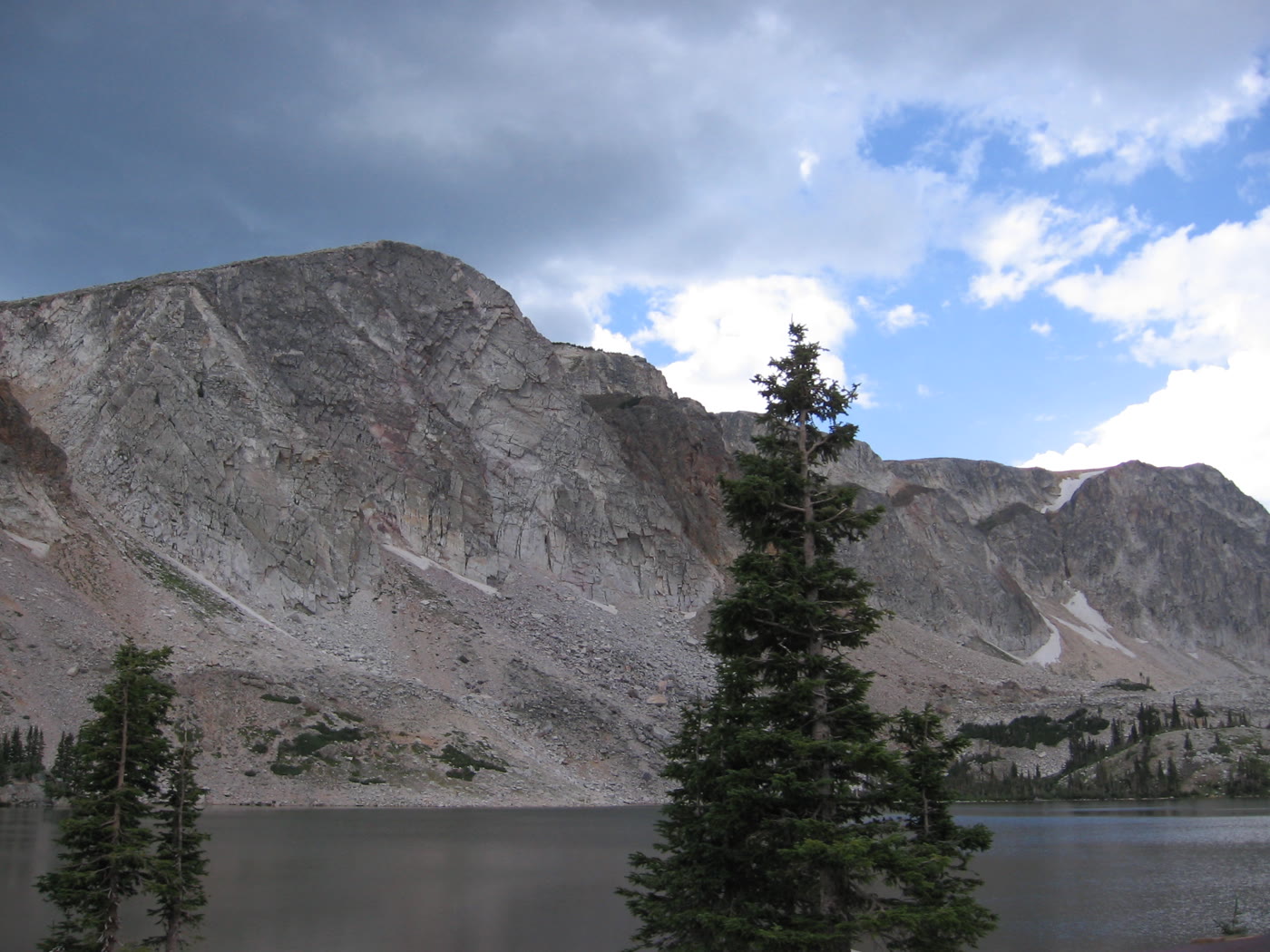 Plate CLXVII
Medicine Bow
alpineSnowy Range, Lake Marie, Wyoming
A granite lake the storms keep rewriting.
41.4° N · 106.3° WOpen plate →
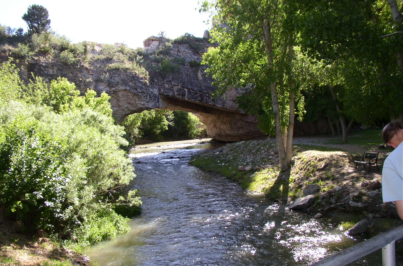 Plate CLXVIII
Ayres Natural Bridge
canyonwest of Douglas, Converse County, Wyoming
A stone span the creek refused to go around.
42.7° N · 105.6° WOpen plate →
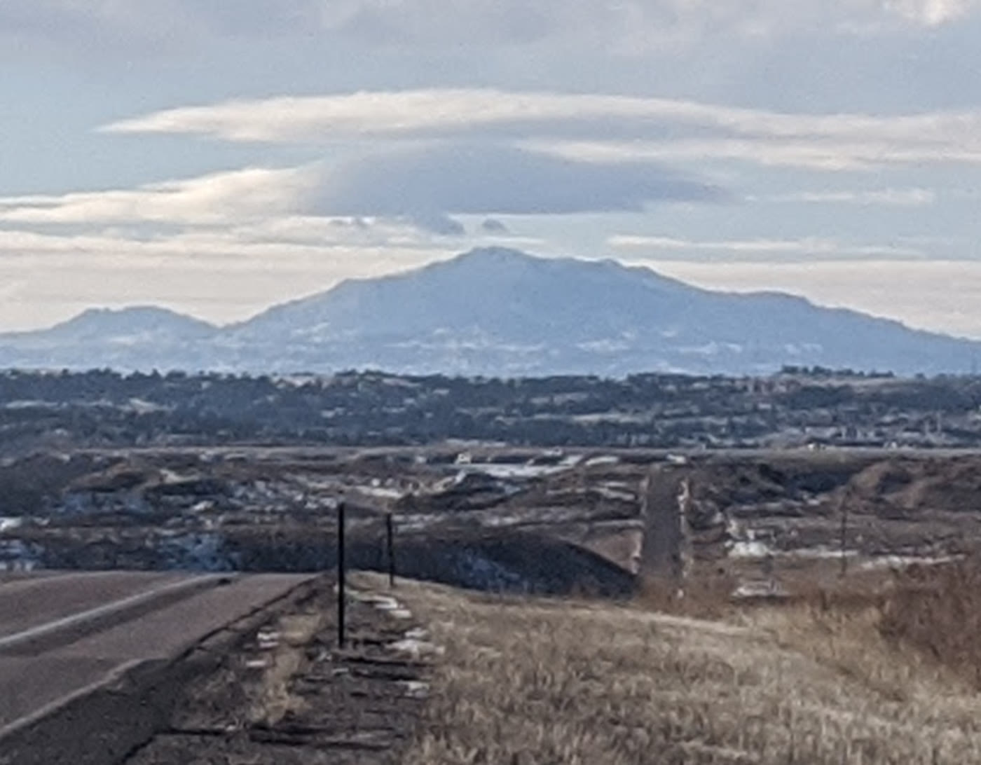 Plate CLXIX
Laramie Peak
alpineLaramie Range, Wyoming
The mountain the plains use as a compass.
42.3° N · 105.4° WOpen plate →
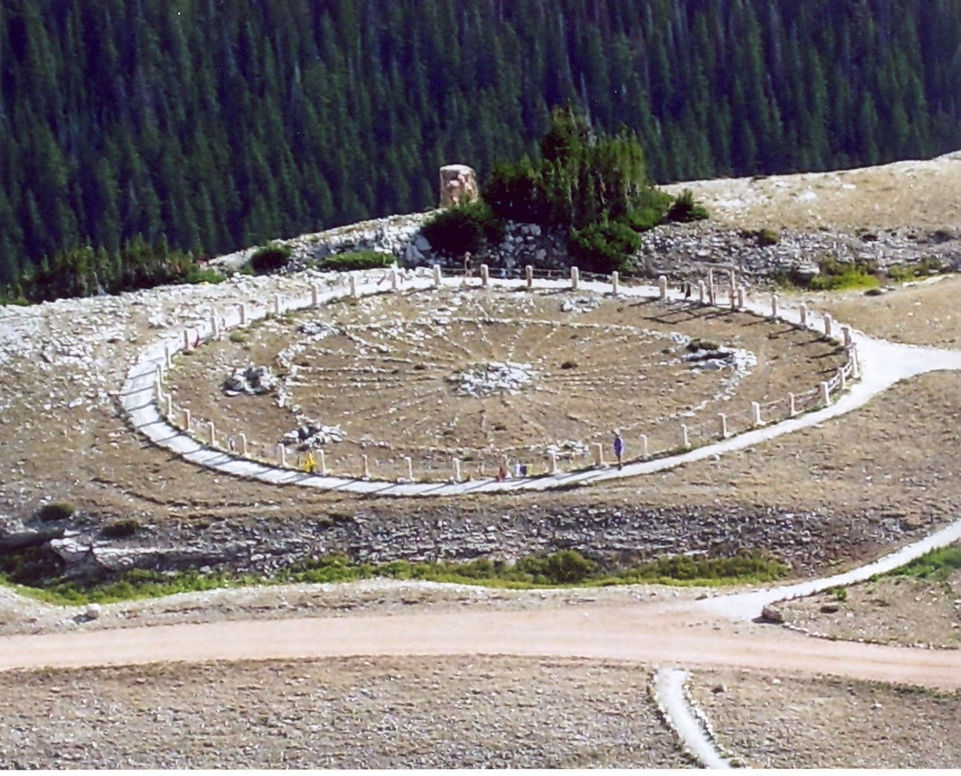 Plate CLXX
Medicine Wheel
alpineMedicine Mountain National Historic Landmark, Wyoming
A stone circle still in use on the mountain.
44.8° N · 107.9° WOpen plate →
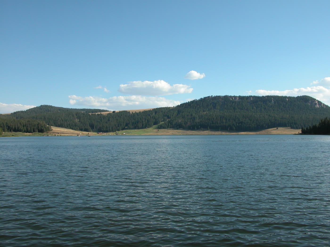 Plate CLXXI
Meadowlark Lake
alpineCloud Peak Skyway, US-16, Wyoming
A high lake the skyway leans toward.
44.2° N · 107.2° WOpen plate →
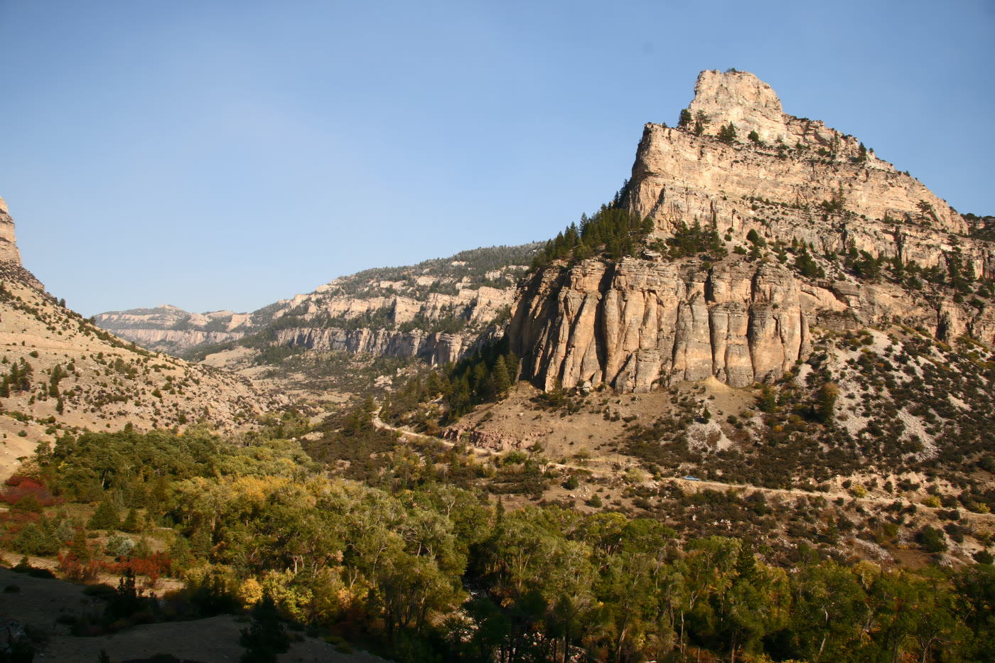 Plate CLXXII
Tensleep Canyon
canyonBighorn National Forest, US-16, Wyoming
A limestone hall the highway had to ask.
44.1° N · 107.3° WOpen plate →
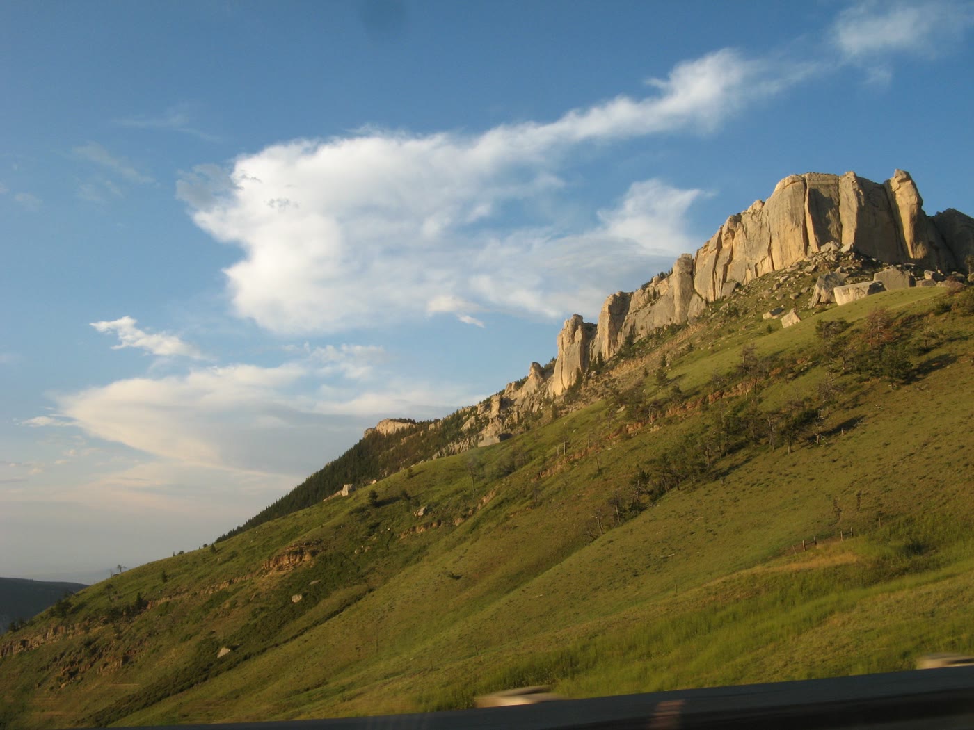 Plate CLXXIII
Steamboat Point
hillsBighorn National Forest, US-14, Wyoming
A stone bow the highway runs under.
44.8° N · 107.4° WOpen plate →
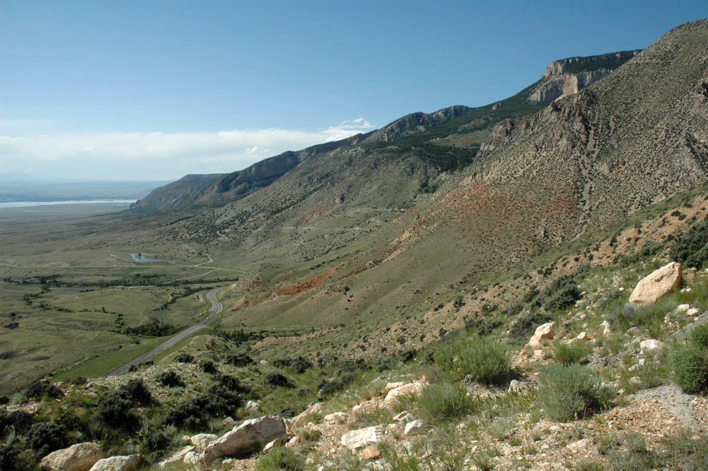 Plate CLXXIV
Medicine Wheel Passage
canyonUS-14A, west rim of the Bighorns, Wyoming
The west door of the mountains.
44.8° N · 107.9° WOpen plate →