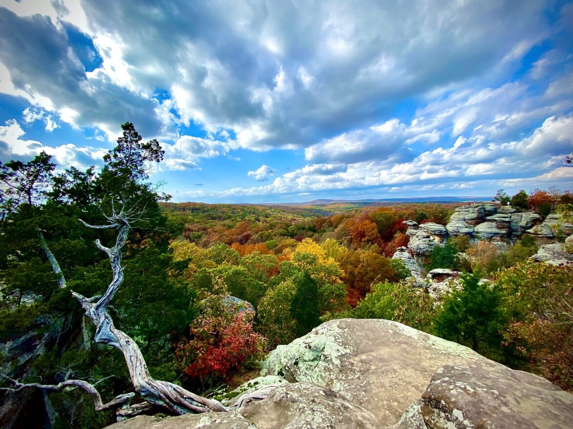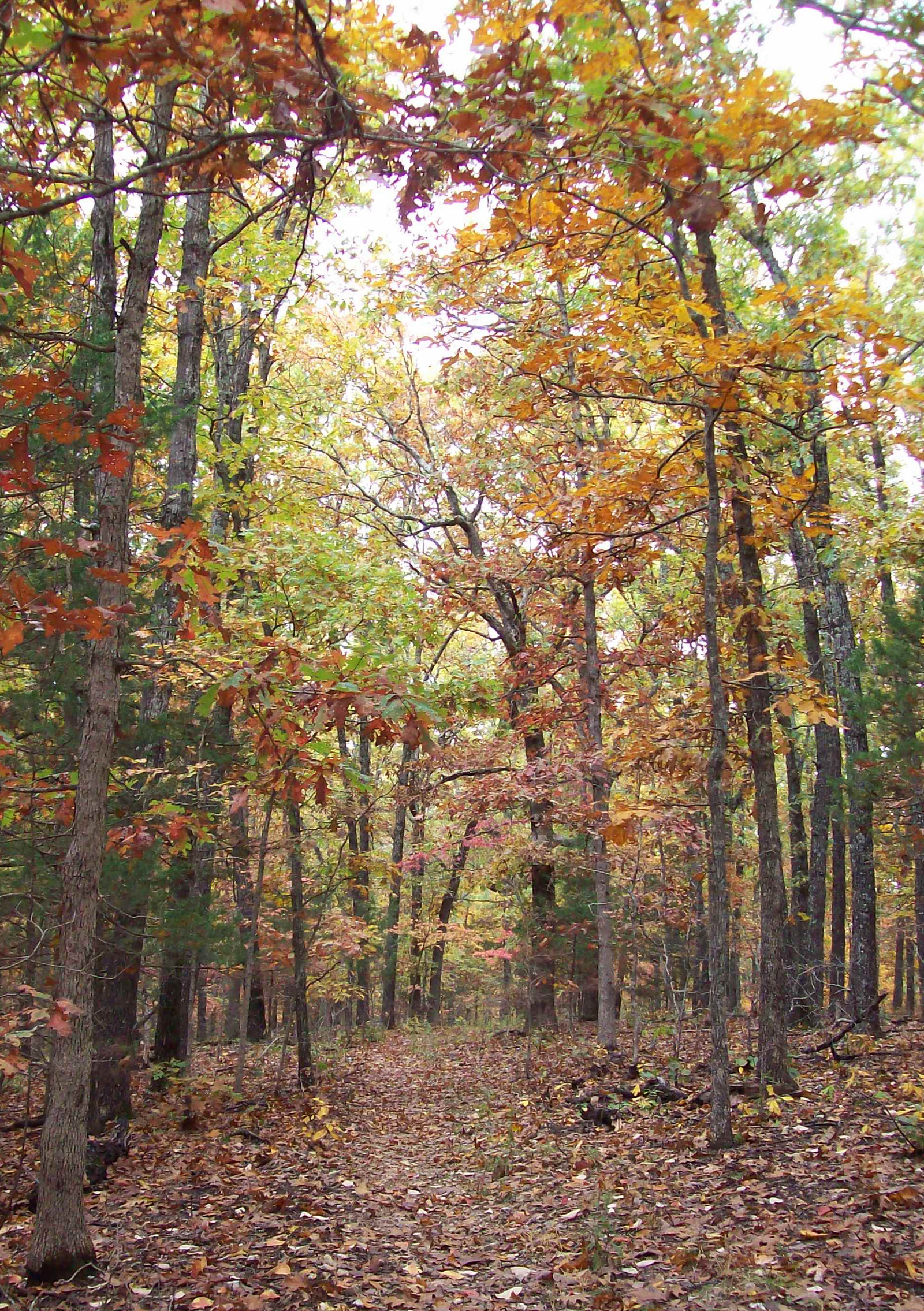
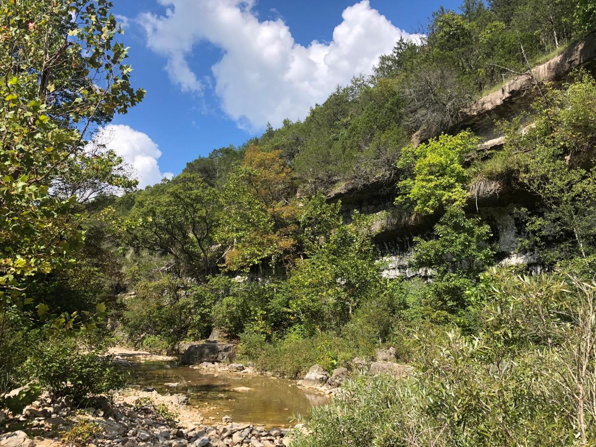
Fig. 1Fall hardwood on the Blair Ridge Trail, Hercules Glades
Landform
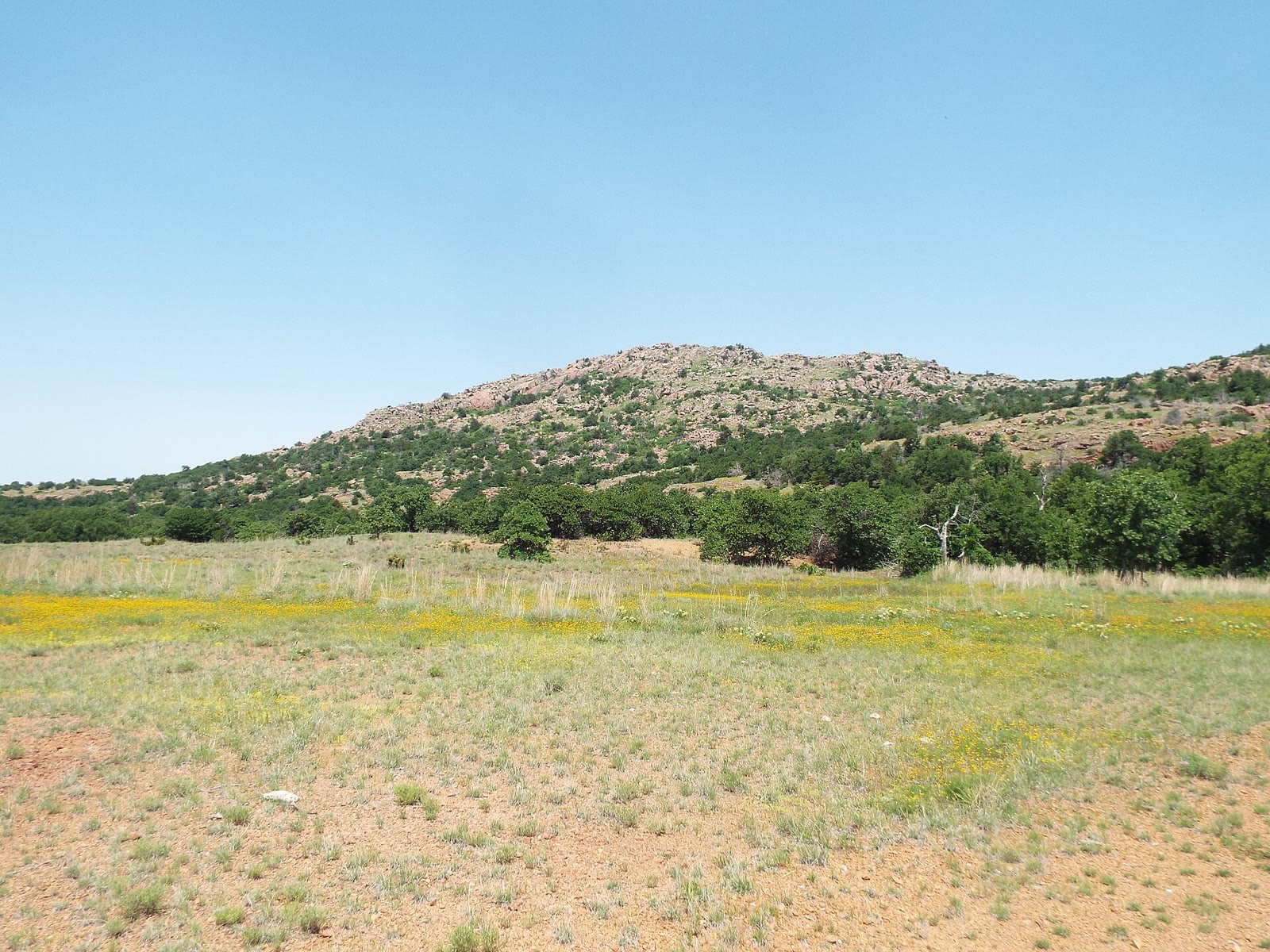
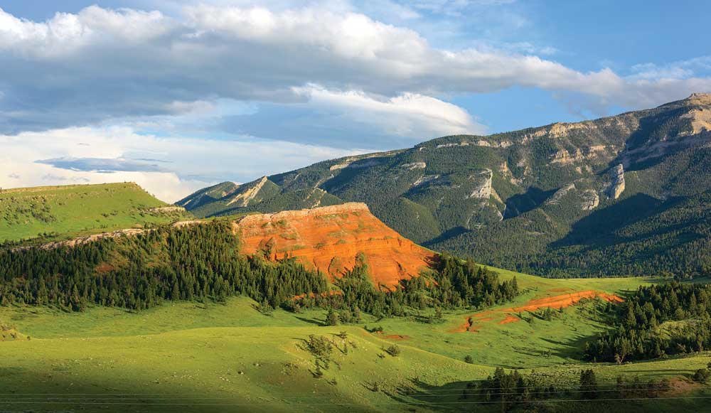
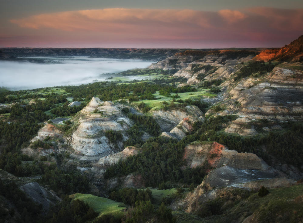
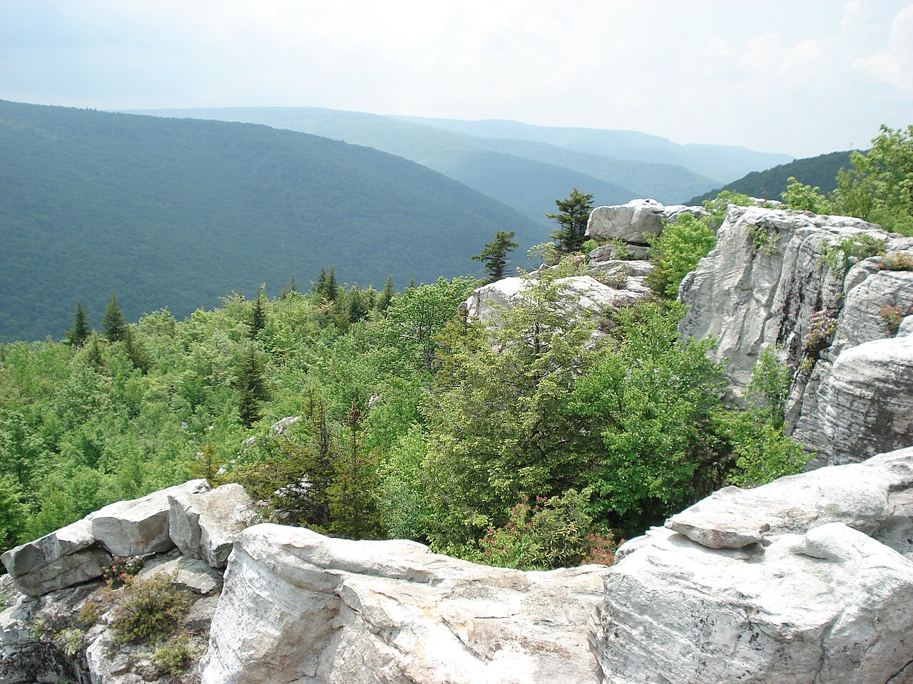
Open limestone glades on Pilot Knob and Coy Bald above Long Creek — the oldest wilderness in Missouri, hardwood on the ridges.
Field note
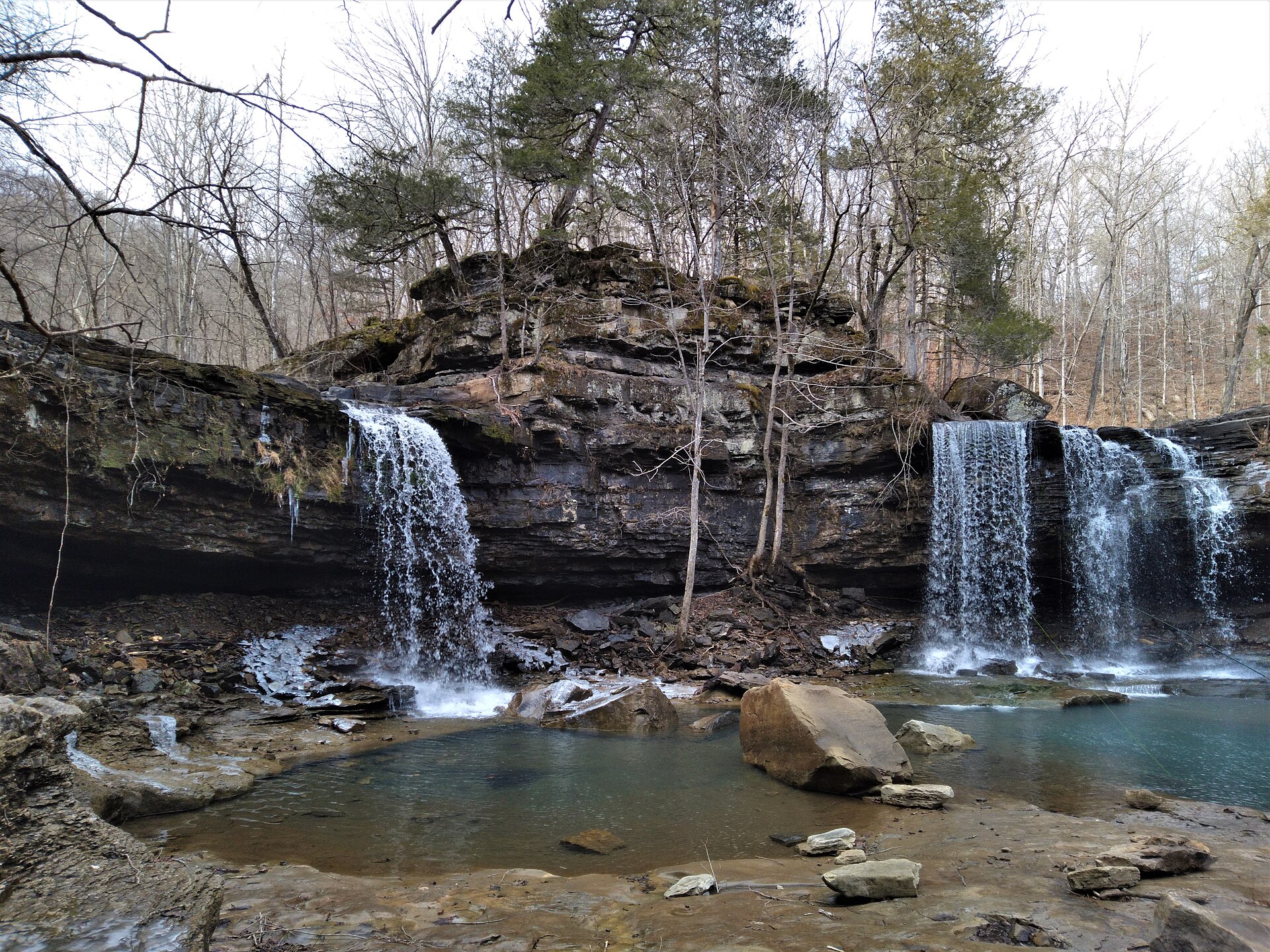
Congress set the glades aside in 1976. Pilot Knob stands near 1,280 feet; Long Creek runs down near 940, with falls in the drainage. Fall hardwood lines Blair Ridge. Branson is south, and the Ava district keeps the trails. This plate is Hercules Glades, not a Branson overlook and not Petit Jean.
Hercules Glades is Mark Twain National Forest wilderness in Taney County, about ten miles northeast of Branson. The balds are the high ground; Long Creek and Blair Ridge are the walk. This plate is the glades, not a lakeside show and not Petit Jean.