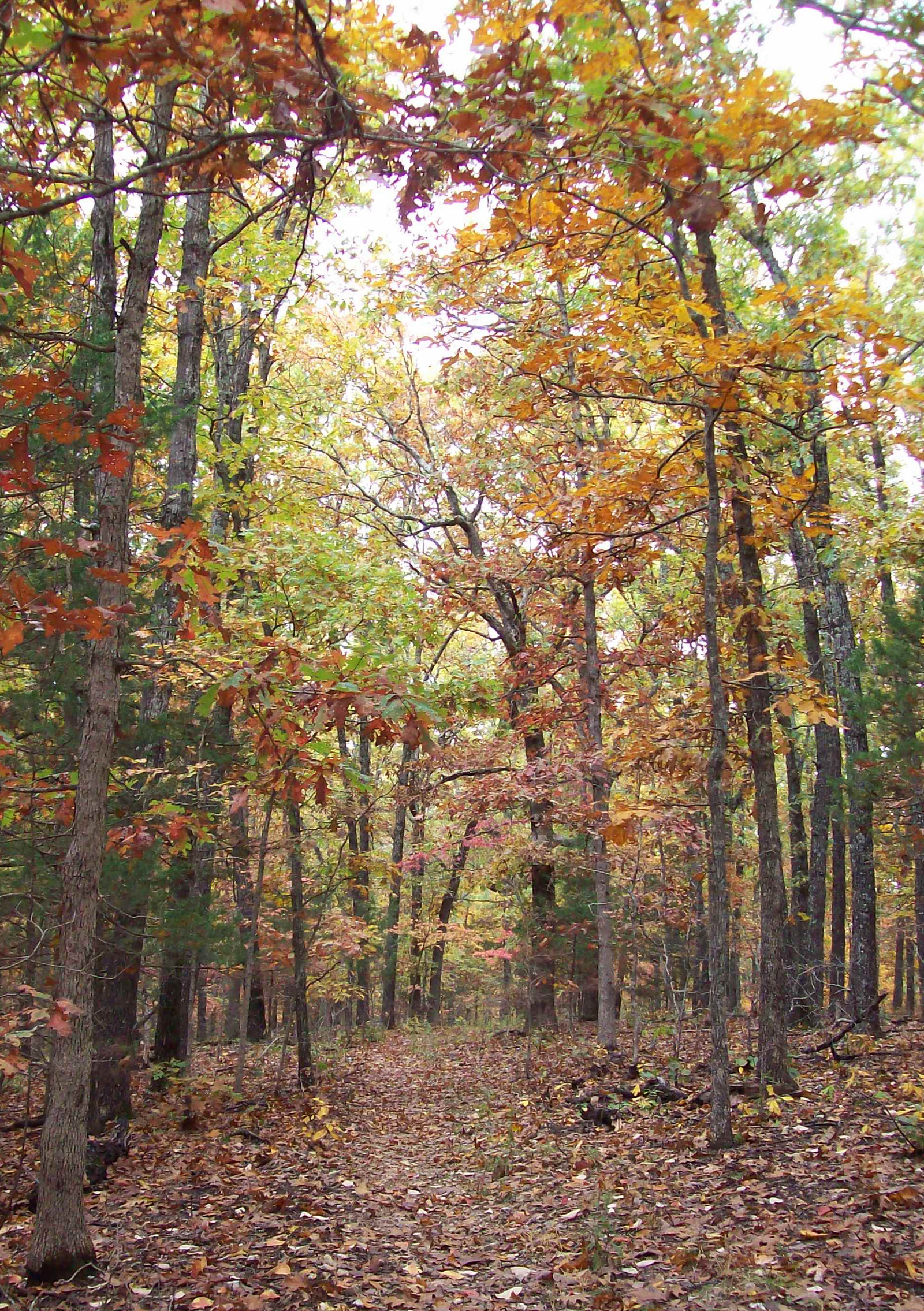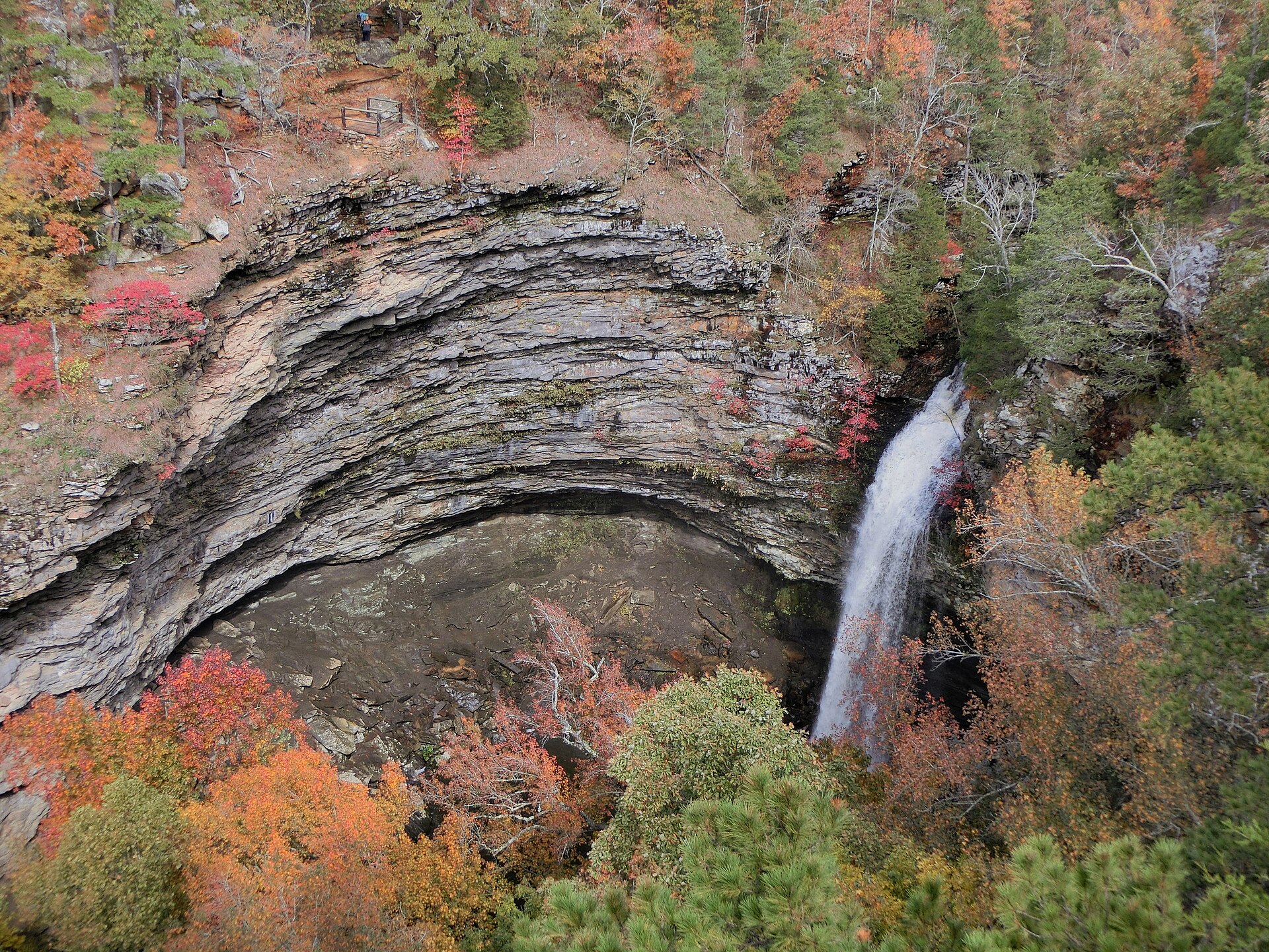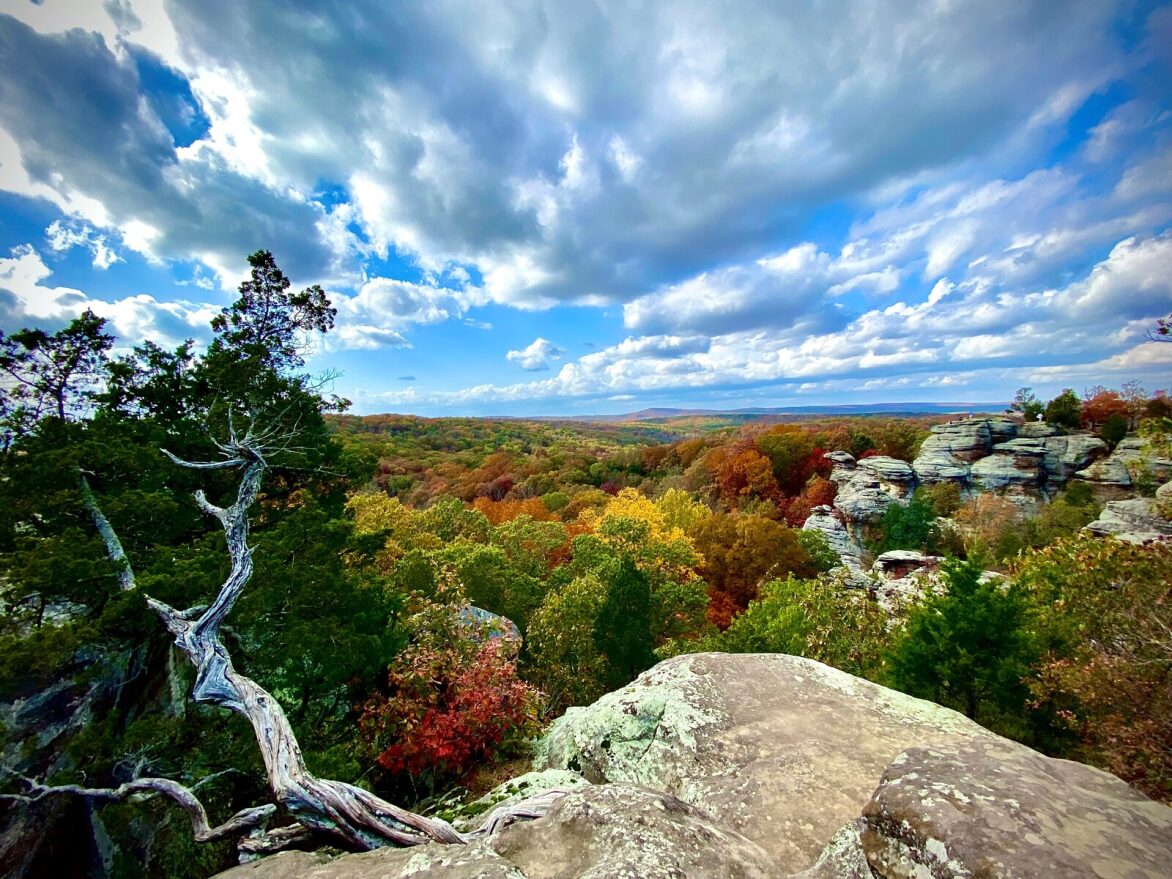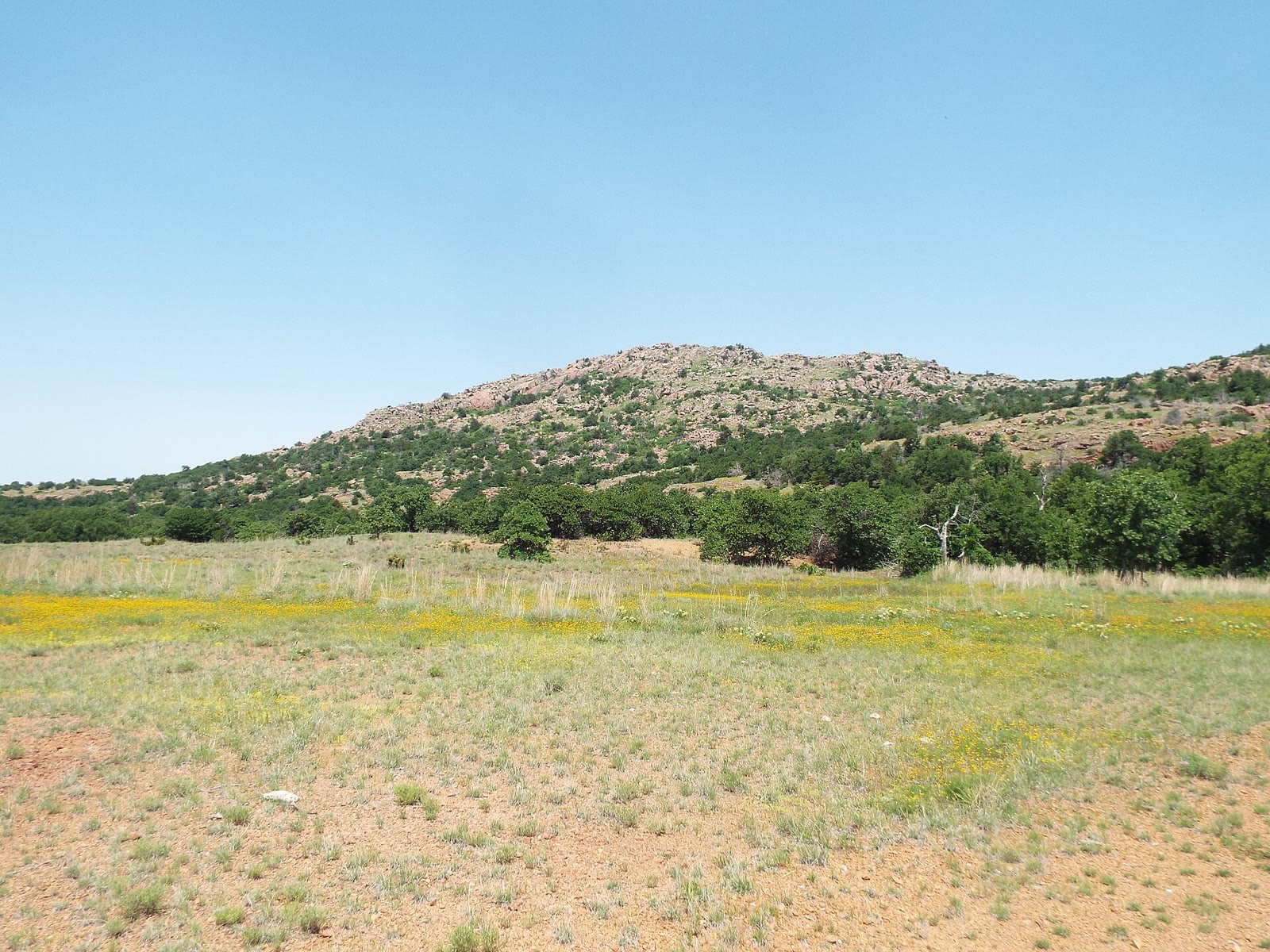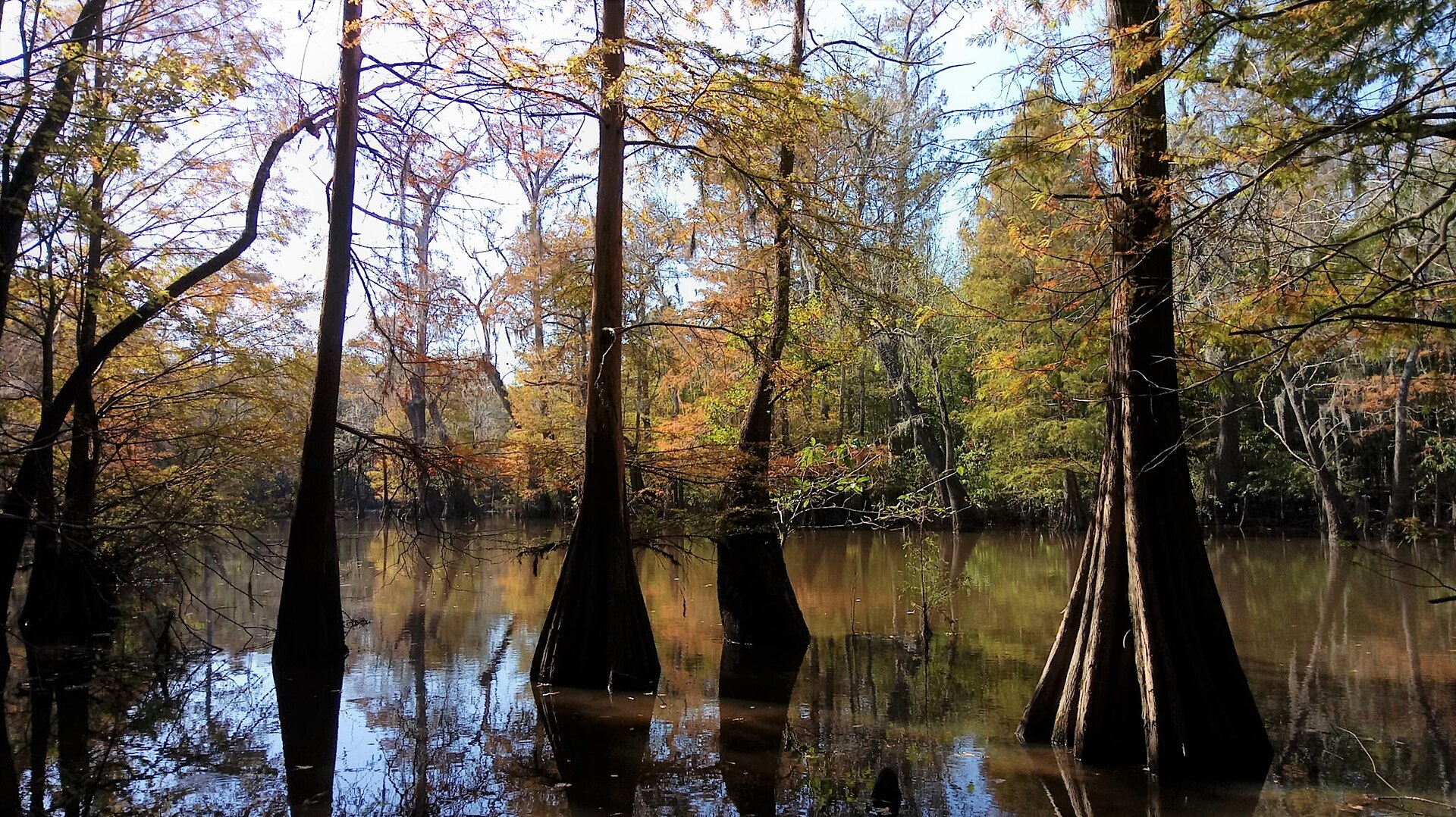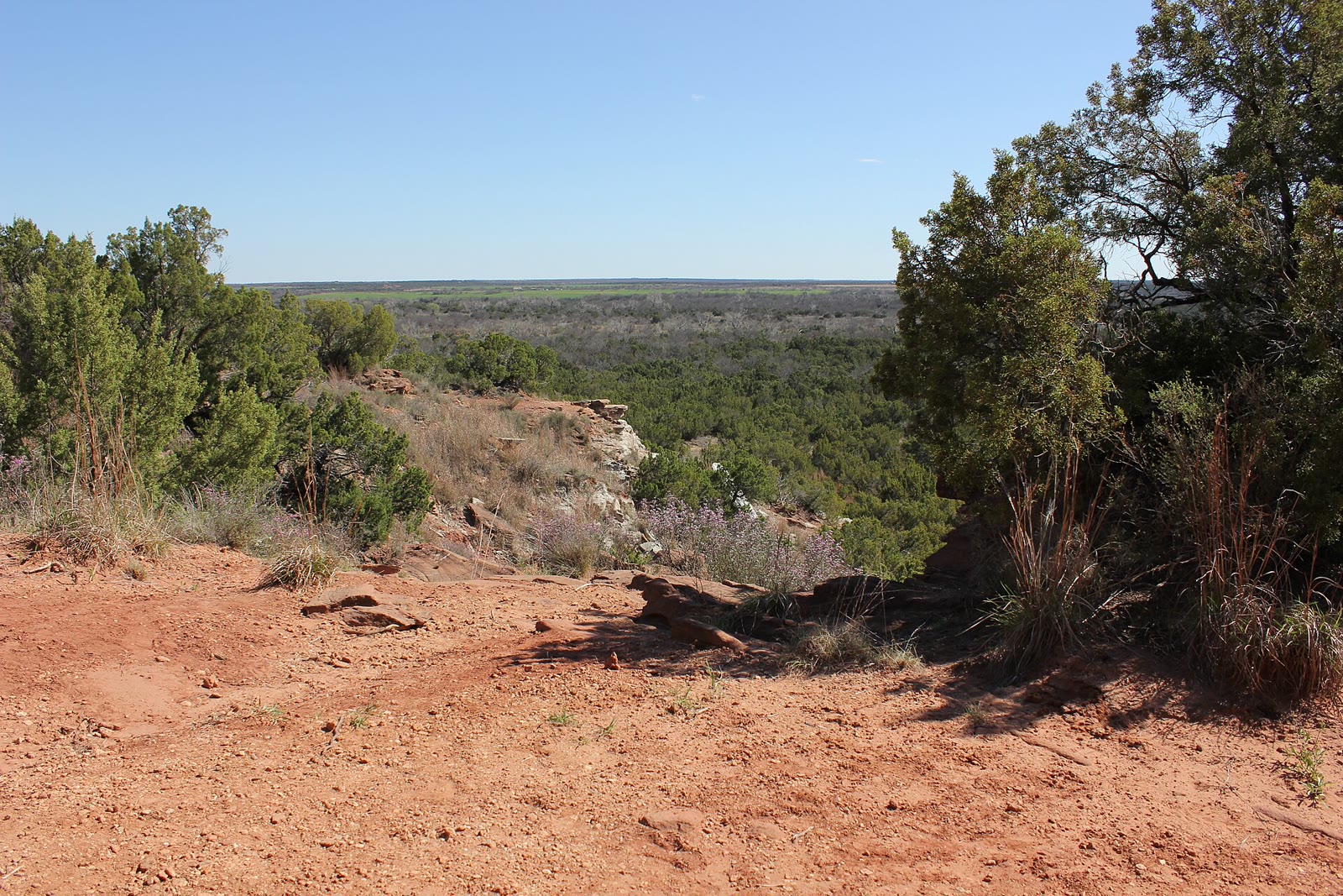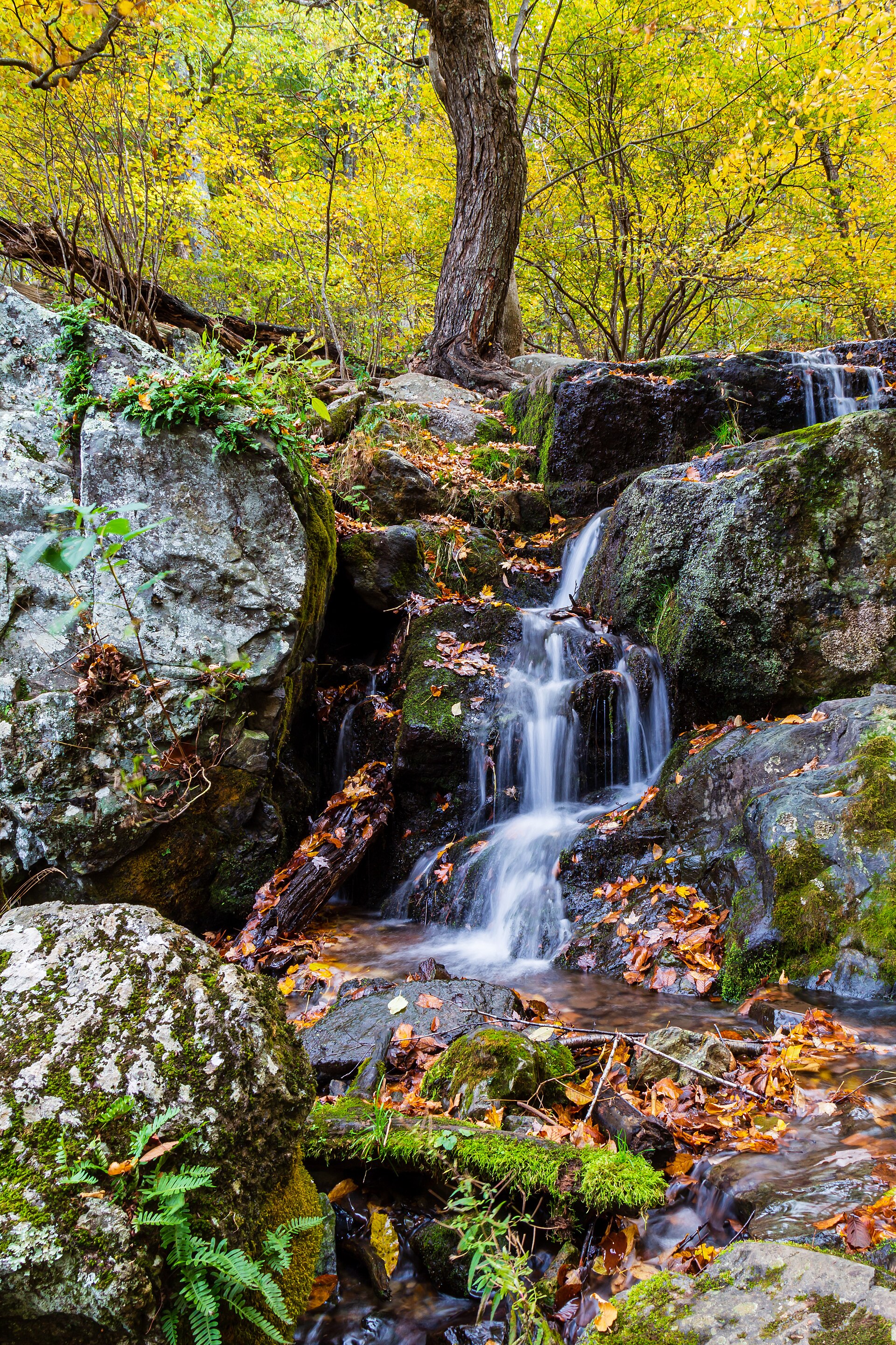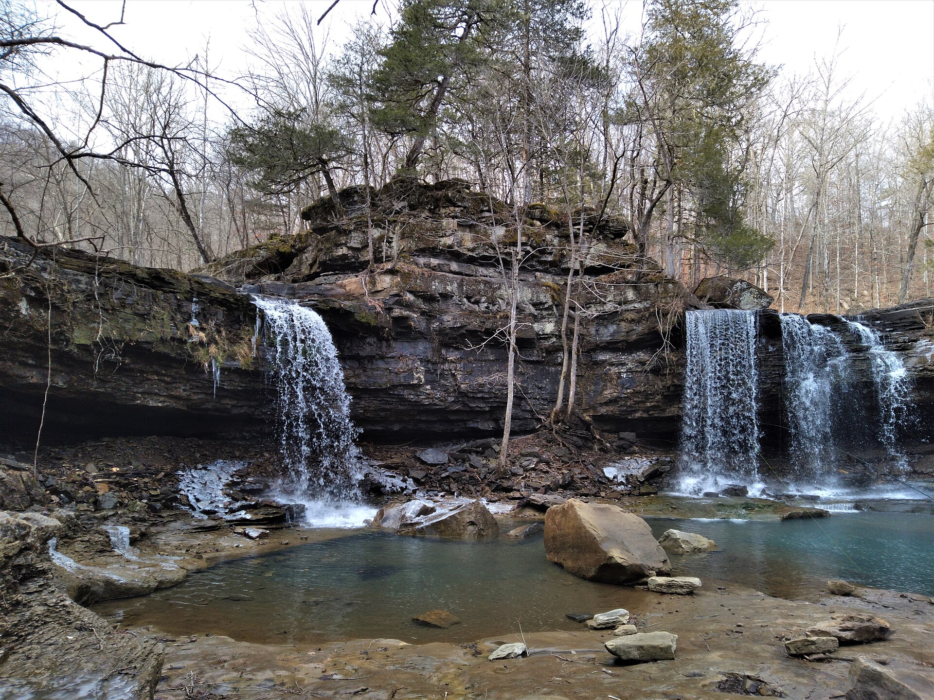
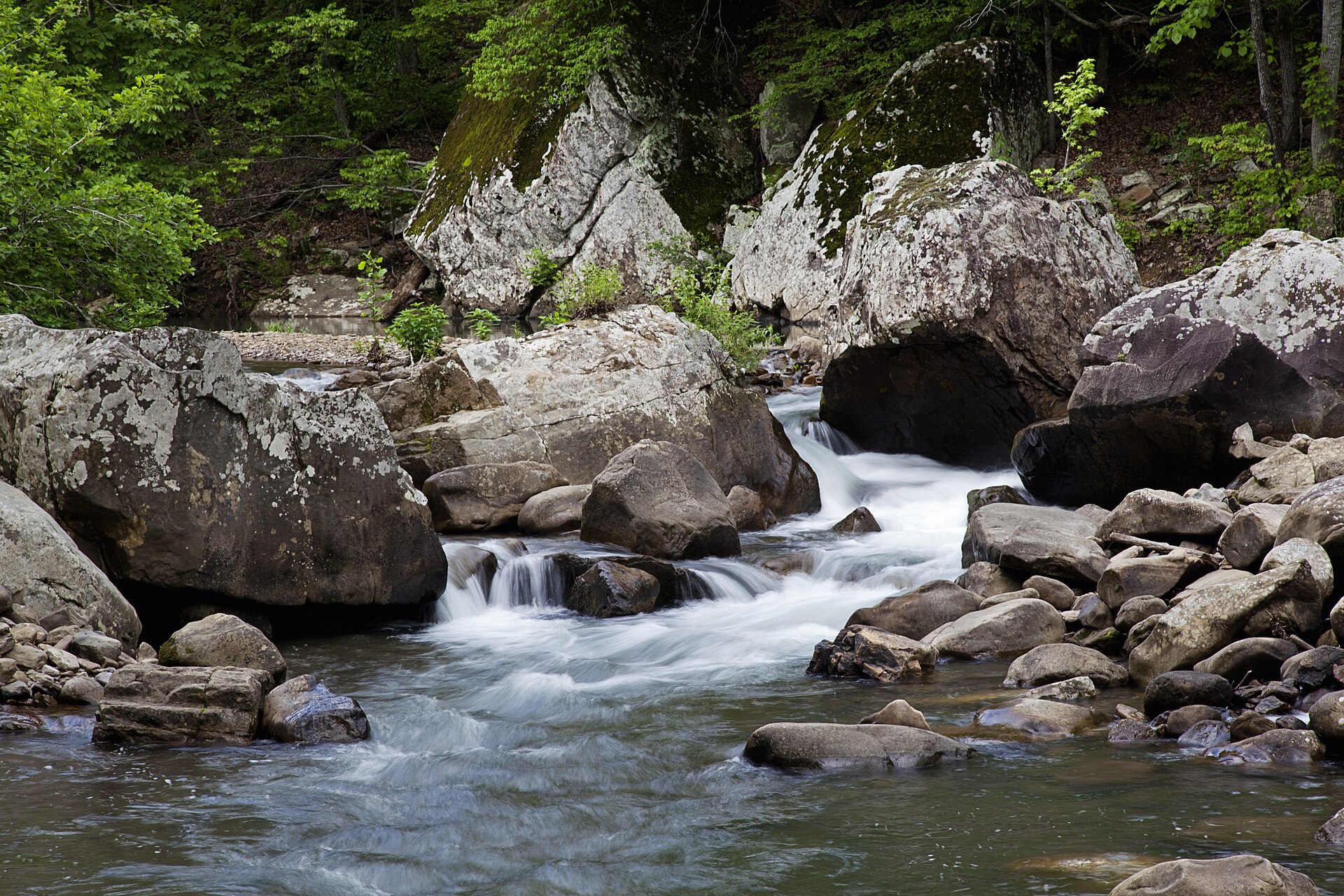
Fig. 1Twin Falls on Richland Creek, Ozark National Forest
Landform
Hardwood and a stacked drop in a wilderness Congress set aside in 1984
Field note
Congress designated the Richland Creek Wilderness in 1984, 11,801 acres in the Ozark National Forest, in Newton and Searcy counties. Twin Falls drops on the creek near 1,450 feet. The Buffalo is the famous river to the west and is not this plate. Hercules Glades is Missouri limestone, a different forest. This plate is Richland Creek.
Richland Creek is Ozark National Forest wilderness in Newton and Searcy counties. Twin Falls is the stacked drop. The Buffalo stays a different river. This plate is the creek, not Hercules Glades.