Landform
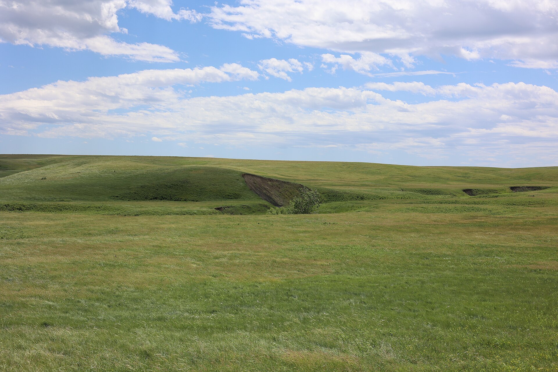
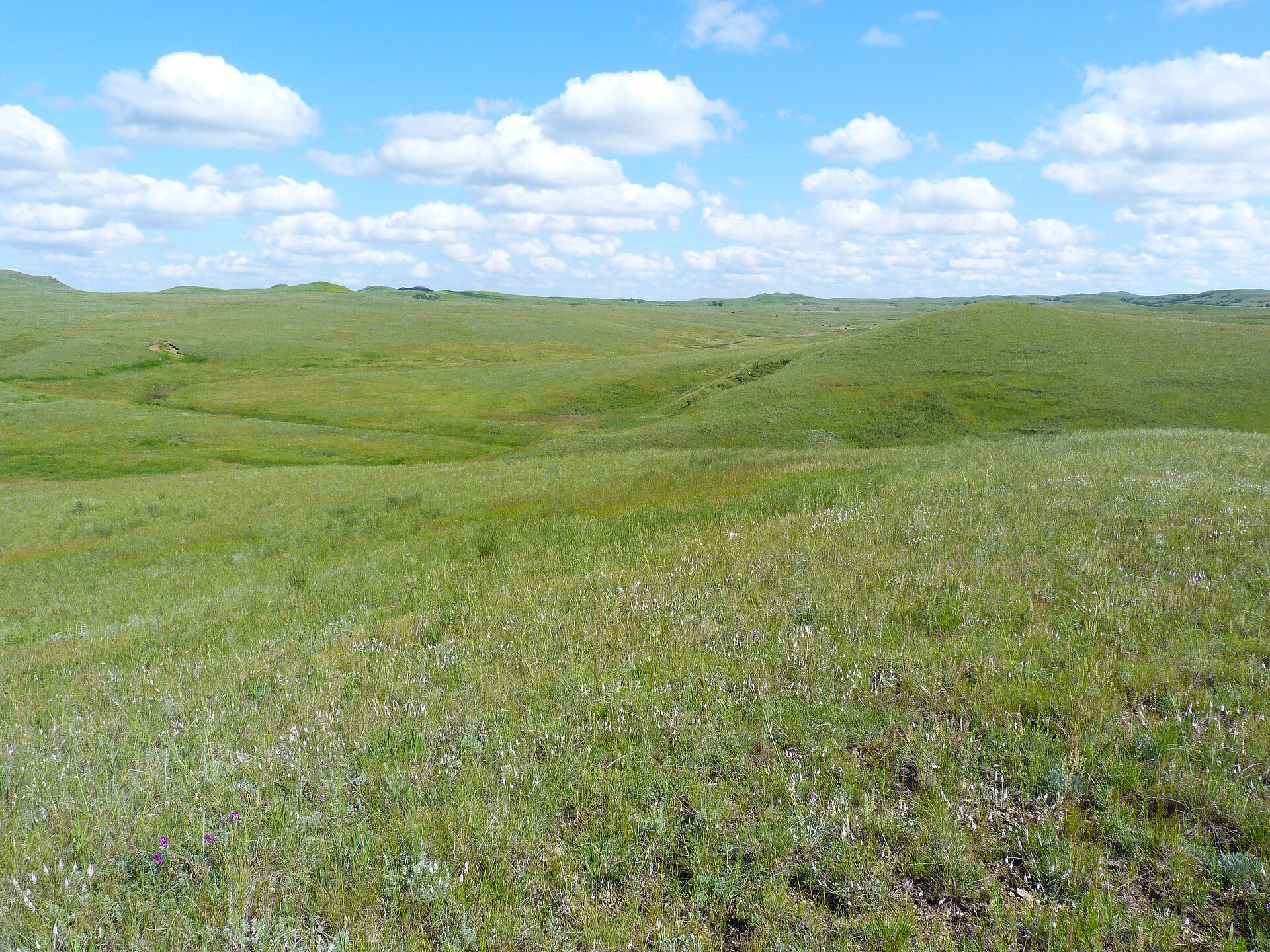
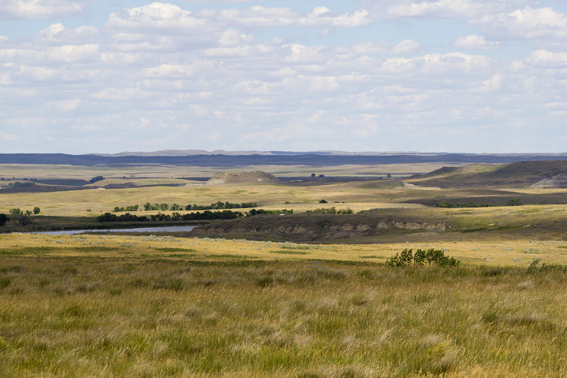
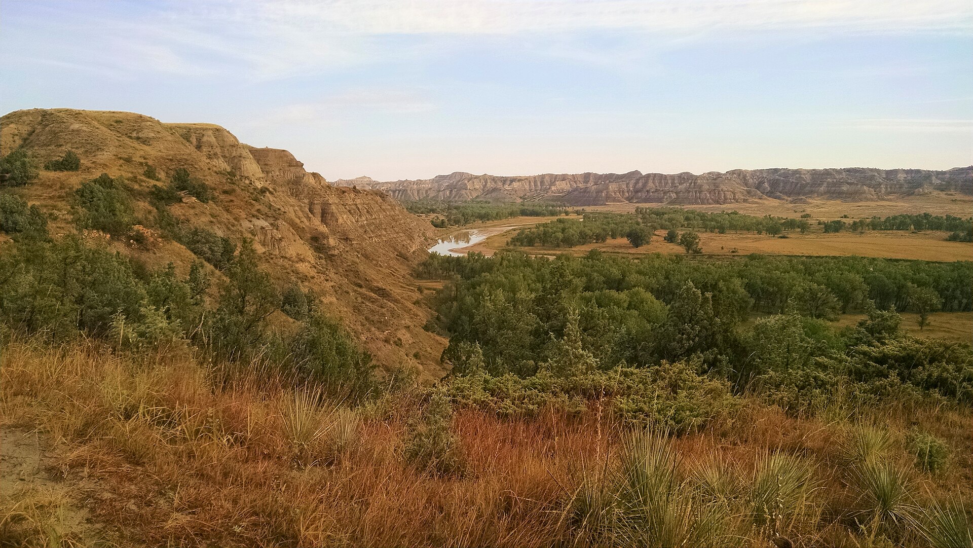
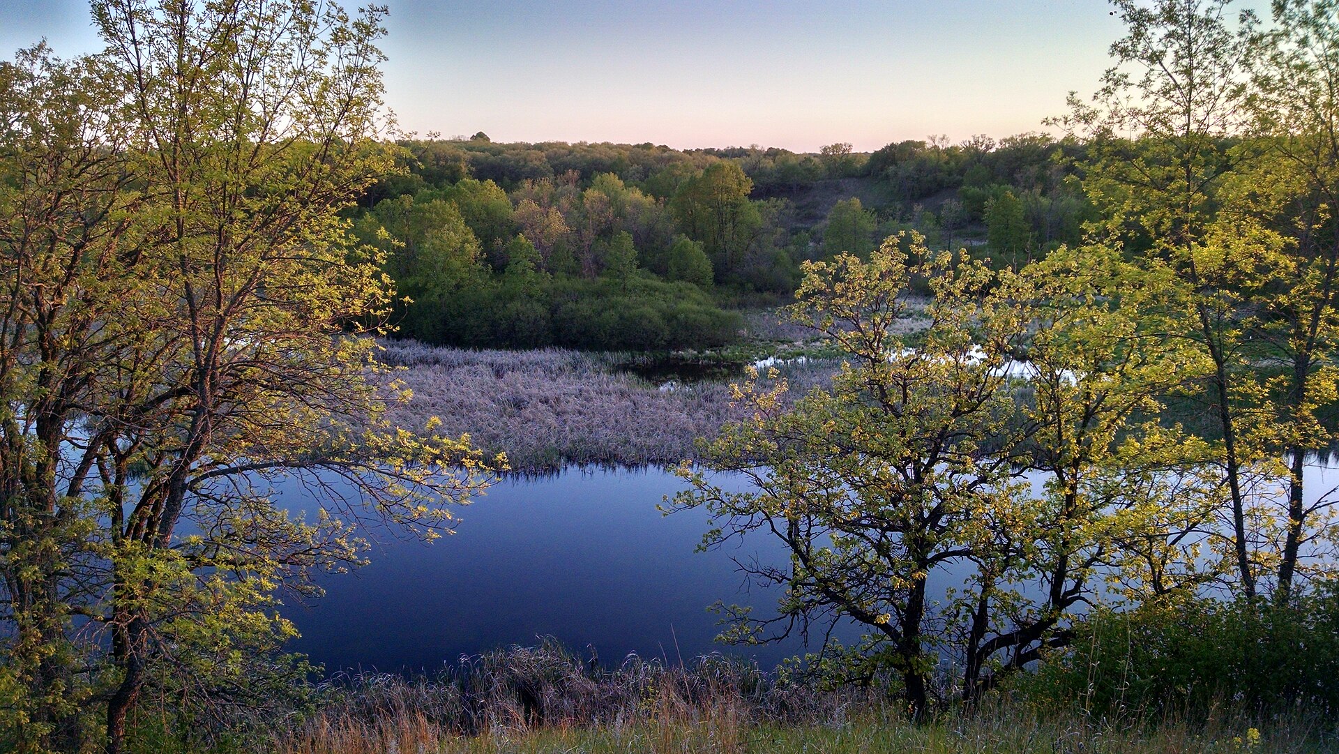
The eastern Dakota tallgrass — bur oak savanna, sand prairie, and a last stand of big bluestem under a working sky.
Field note
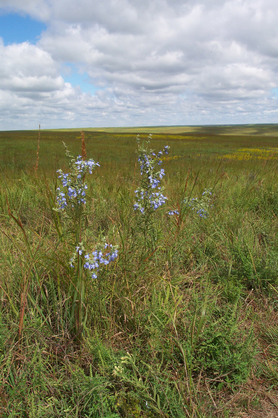
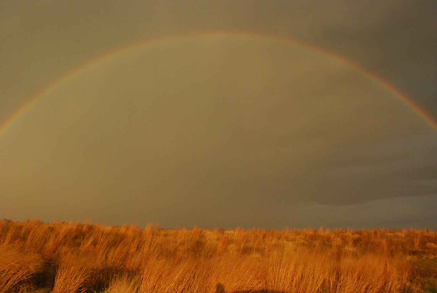
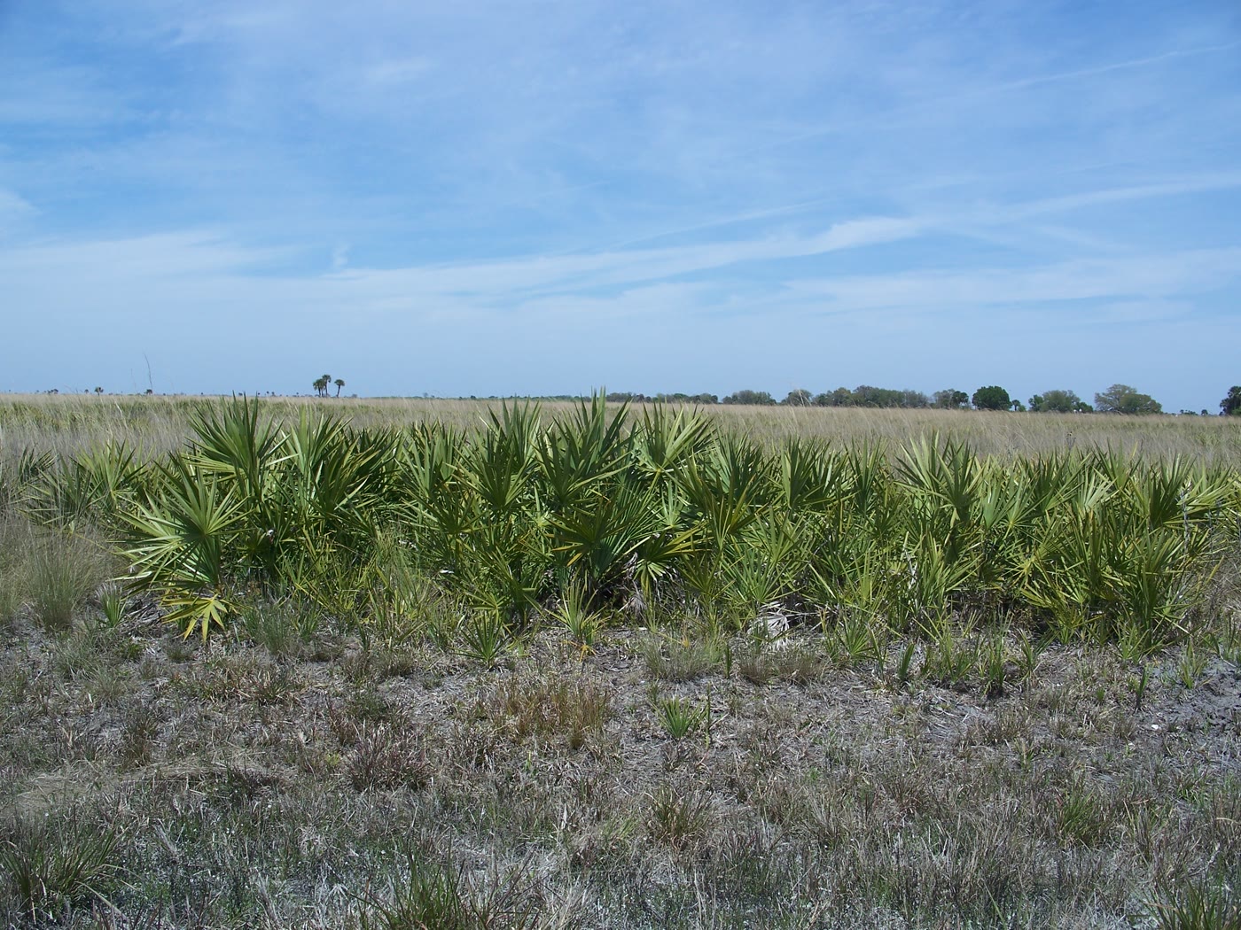
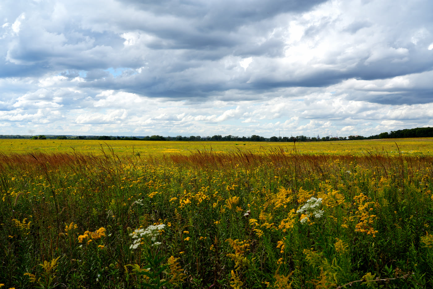
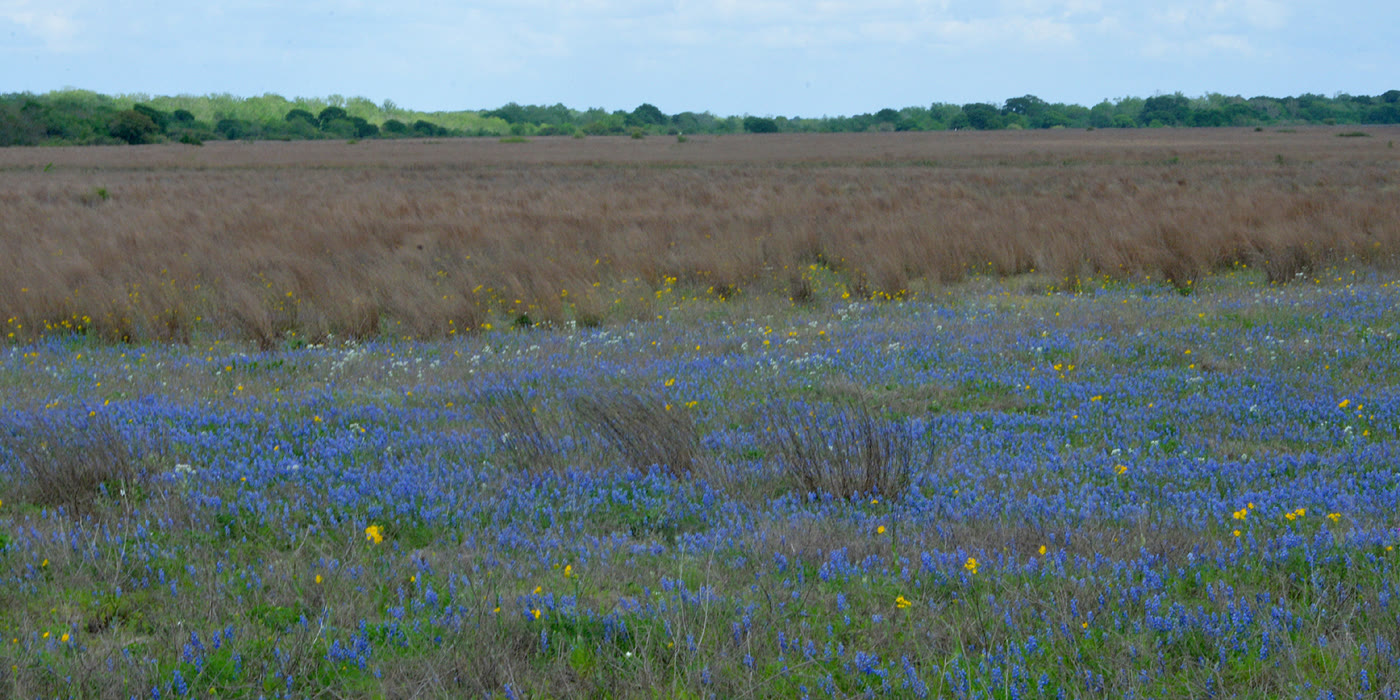
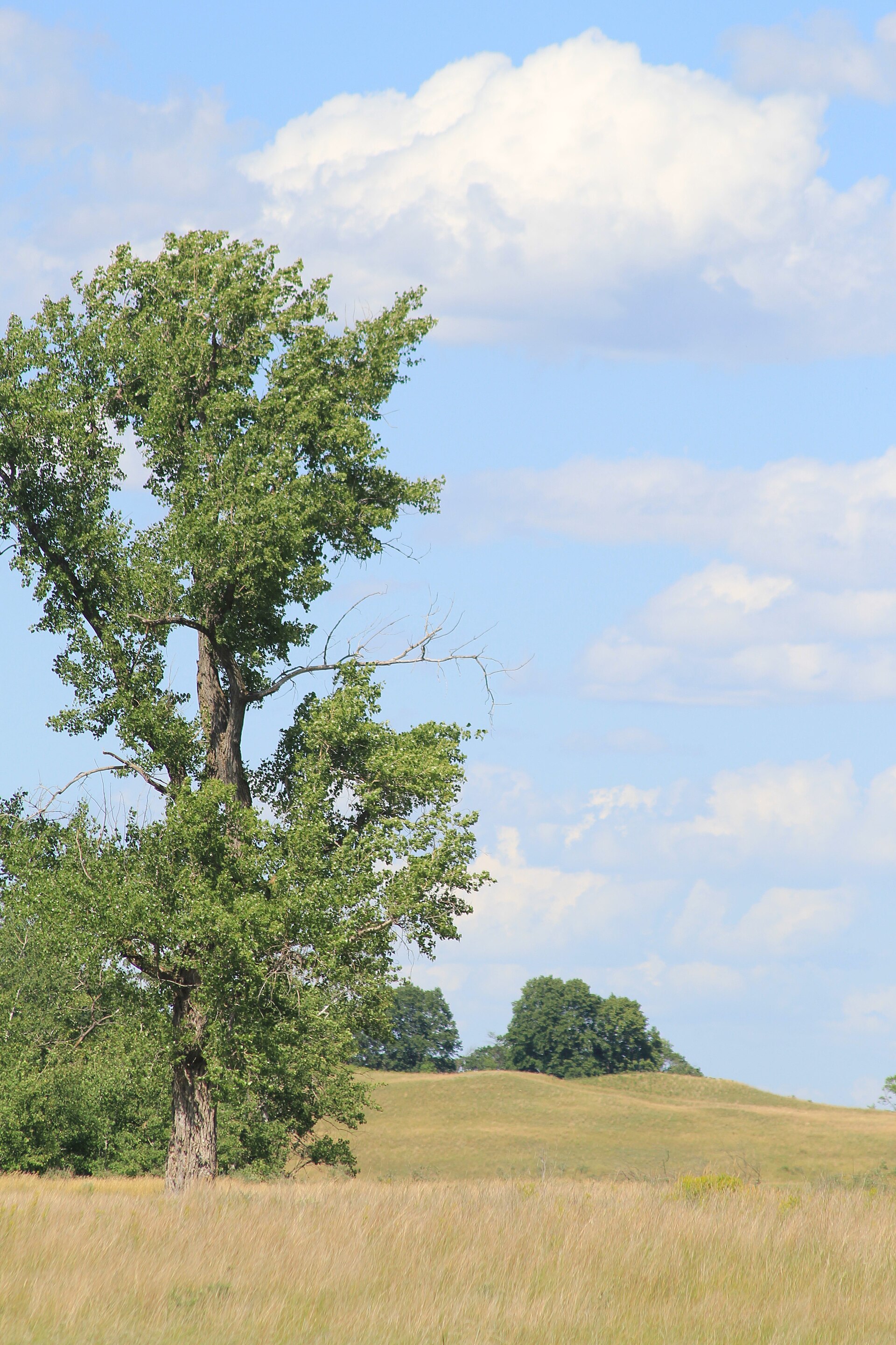
Sheyenne is the easternmost national grassland. Oaks hold the sand hills; the grass still goes tall after rain. Lisbon is the nearest town. June bloom and October gold are the honest seasons. This plate is the USFS Sheyenne unit, not a wheat field and not the Kansas Flint Hills.
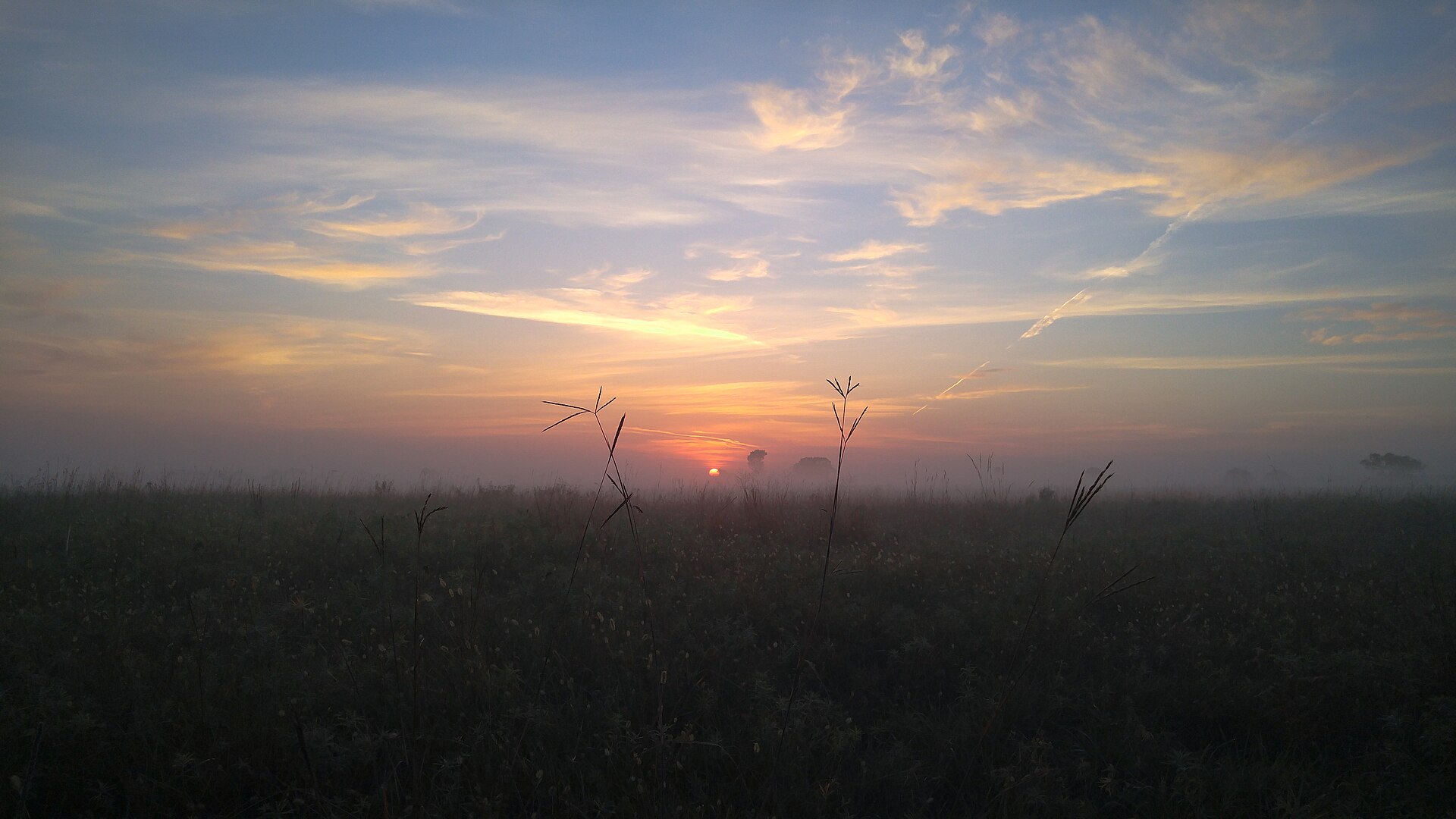
Sheyenne is the easternmost national grassland — tallgrass and bur oak on sand hills the plow never finished. Lisbon is the town. Dawn mist and June bloom are the honest hours. This plate is the USFS Sheyenne unit, not a wheat field and not Kansas tallgrass.