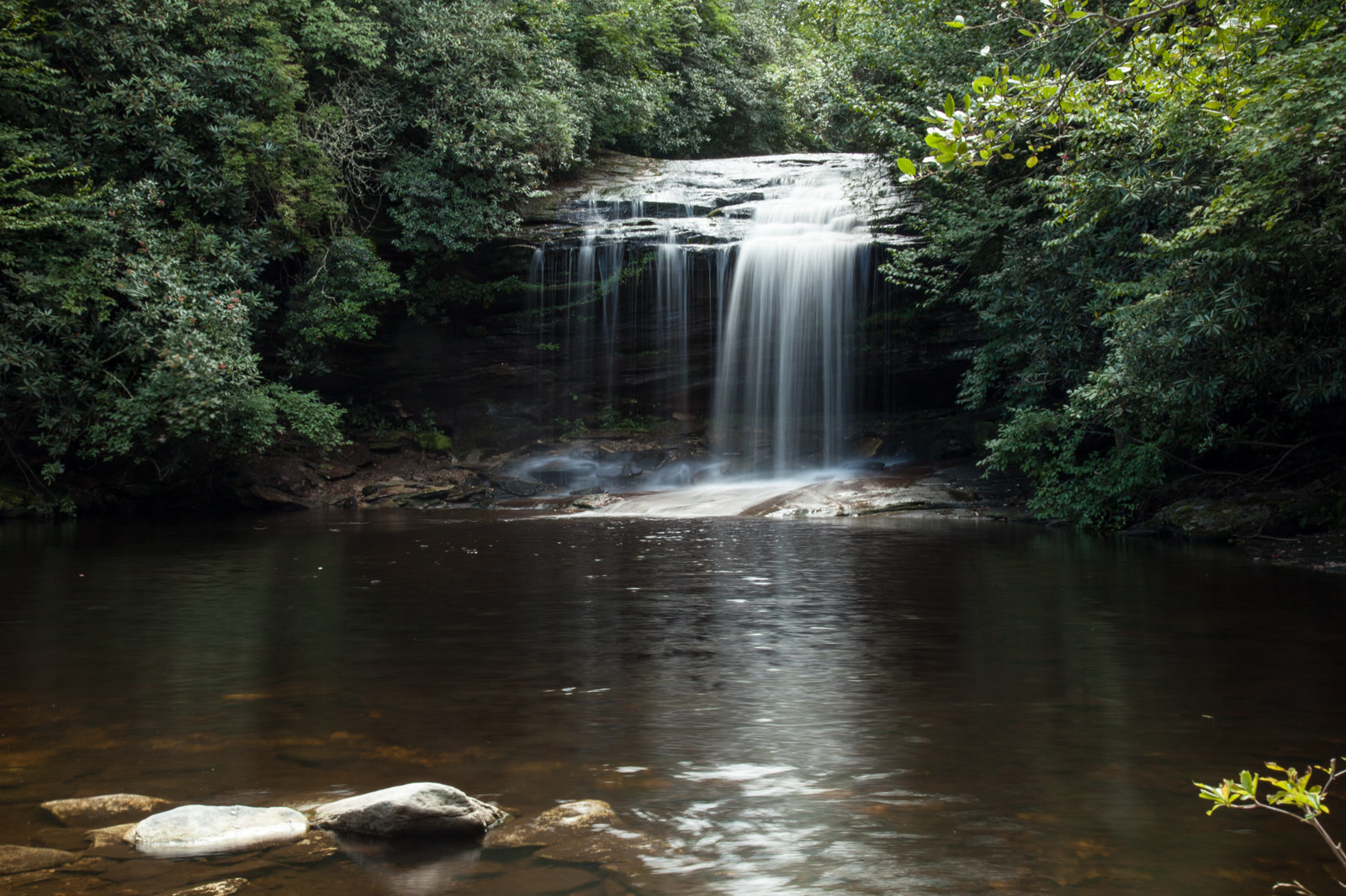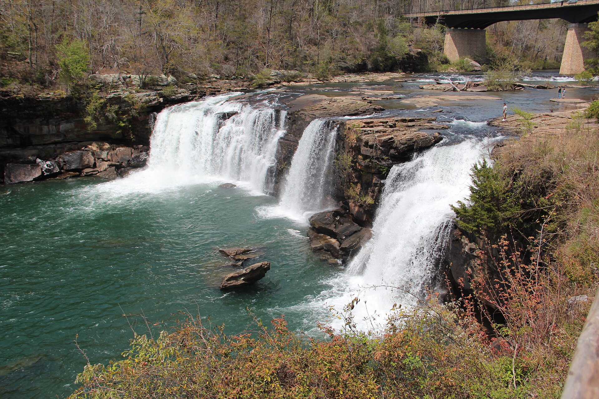
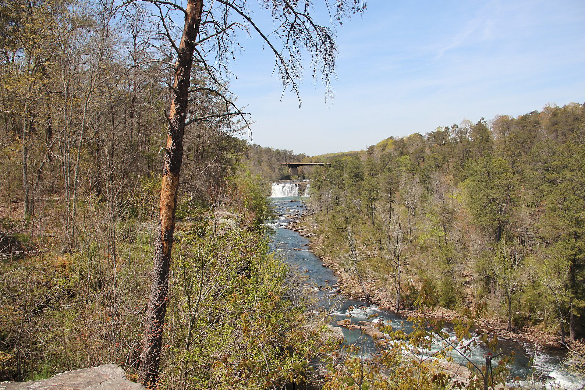
Fig. 1Little River Falls at the head of Little River Canyon
Landform
A mountaintop river cutting Lookout Mountain, with falls at the canyon head
Field note
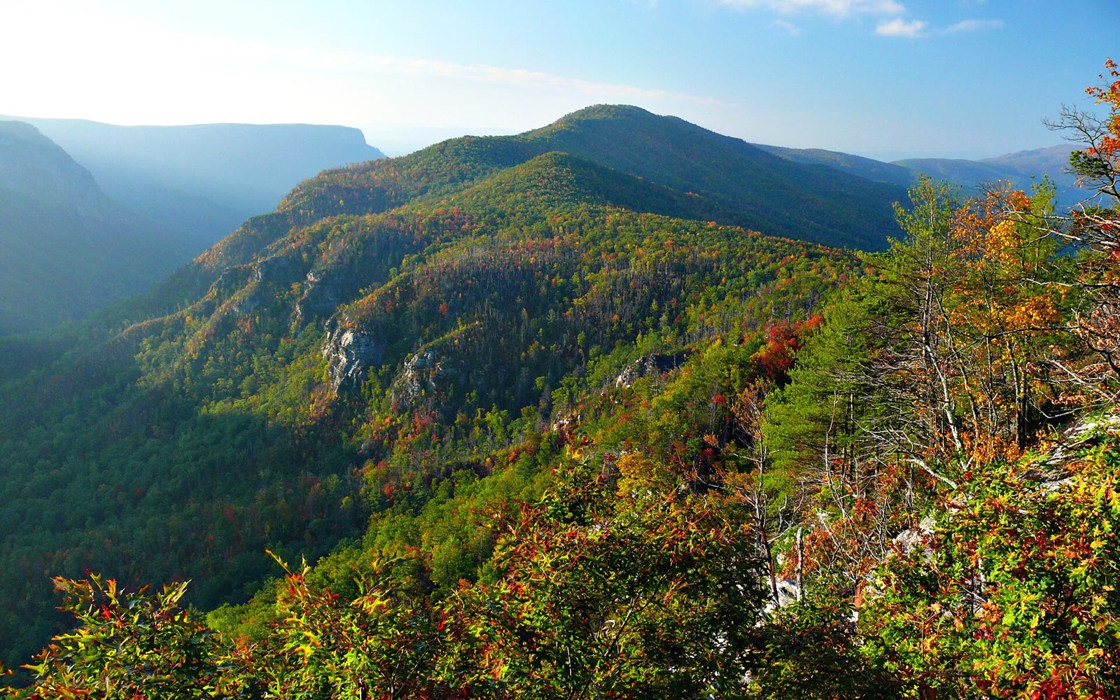
Little River Canyon National Preserve sits on Lookout Mountain near Fort Payne, about 15,288 acres set aside in 1992. The Little River runs the mountaintop, then drops at Little River Falls into the canyon. The Smokies keep their own plate. This plate is the preserve, not a parkway overlook.
Little River Canyon is the Lookout Mountain preserve near Fort Payne. The river runs the mountaintop, then falls into the cut. This plate is that canyon, not the Smokies.