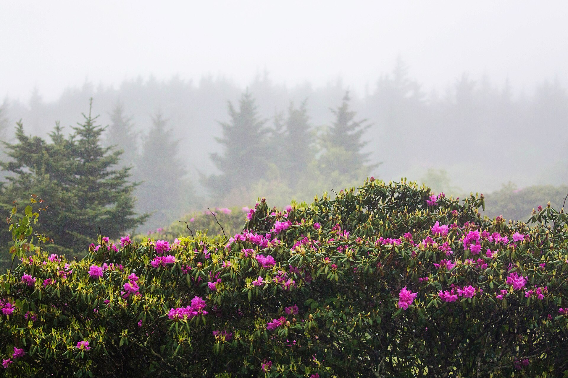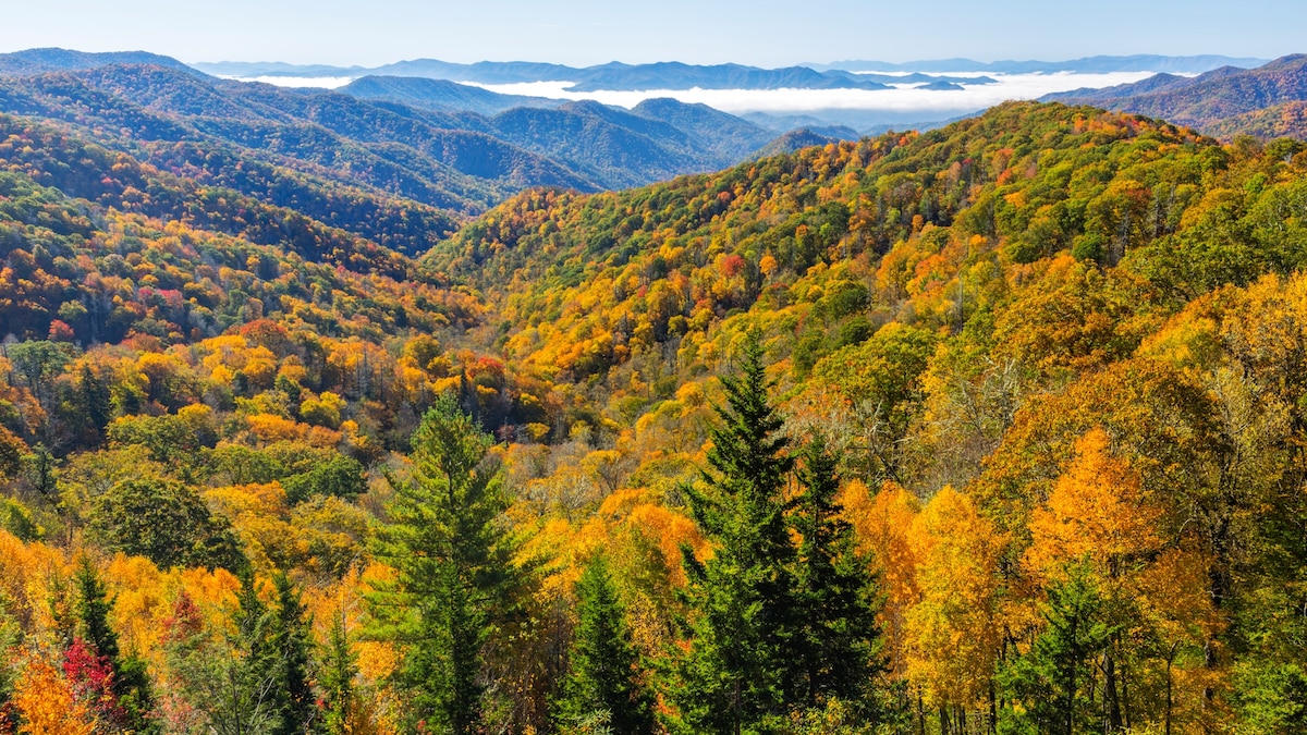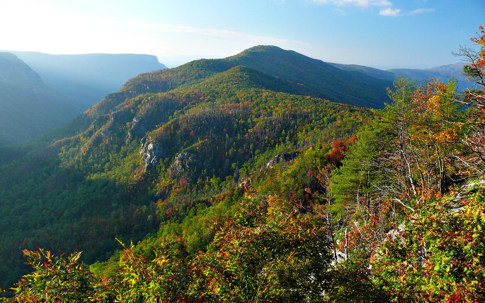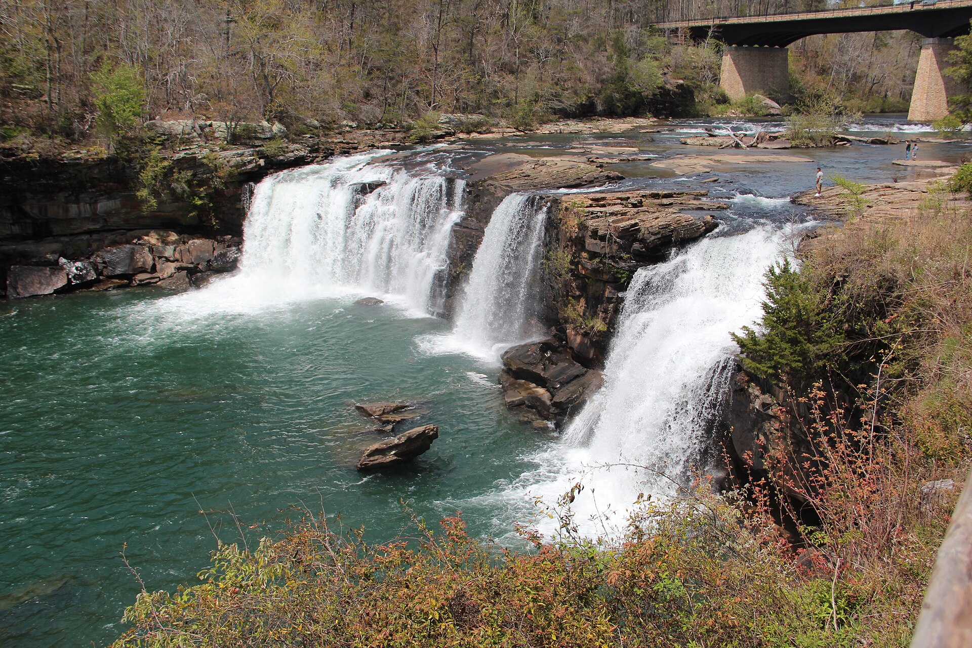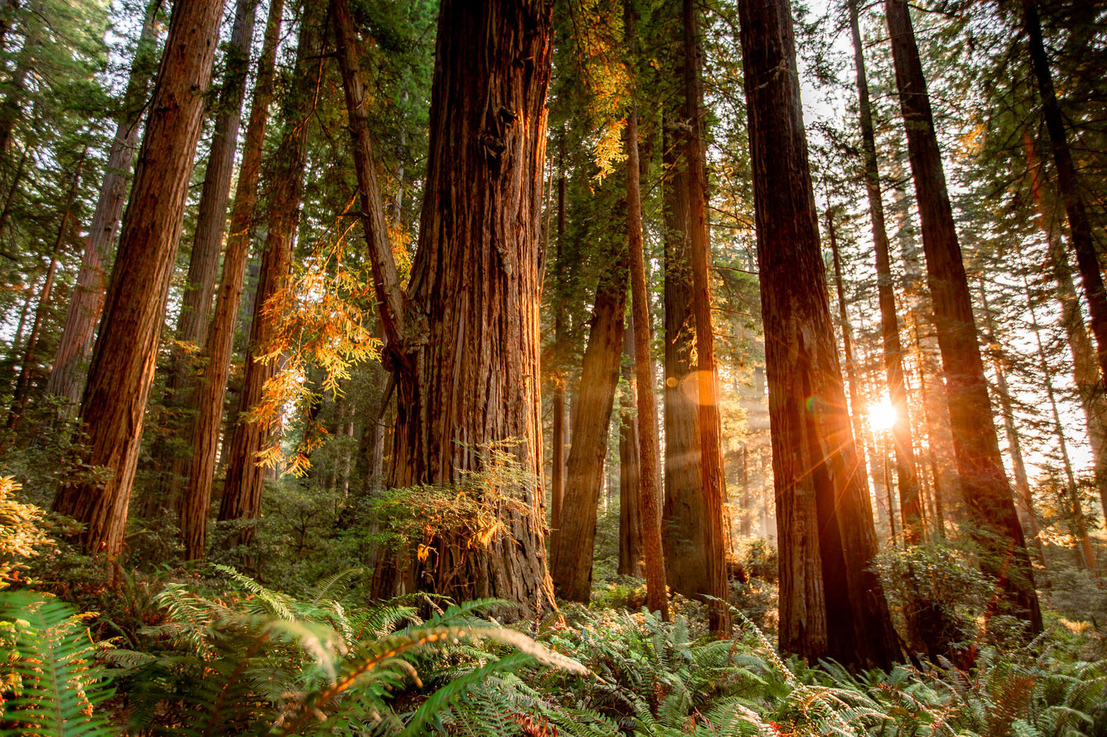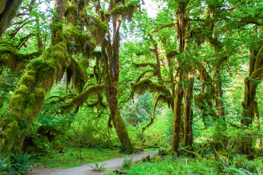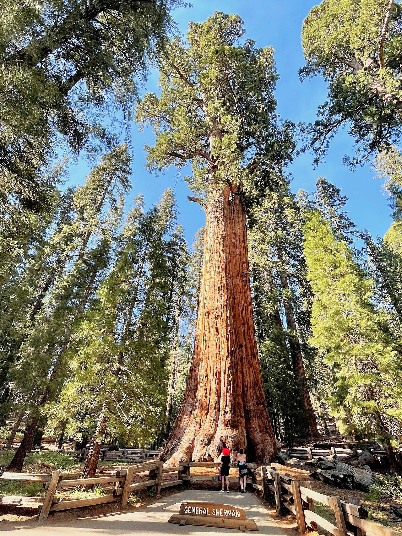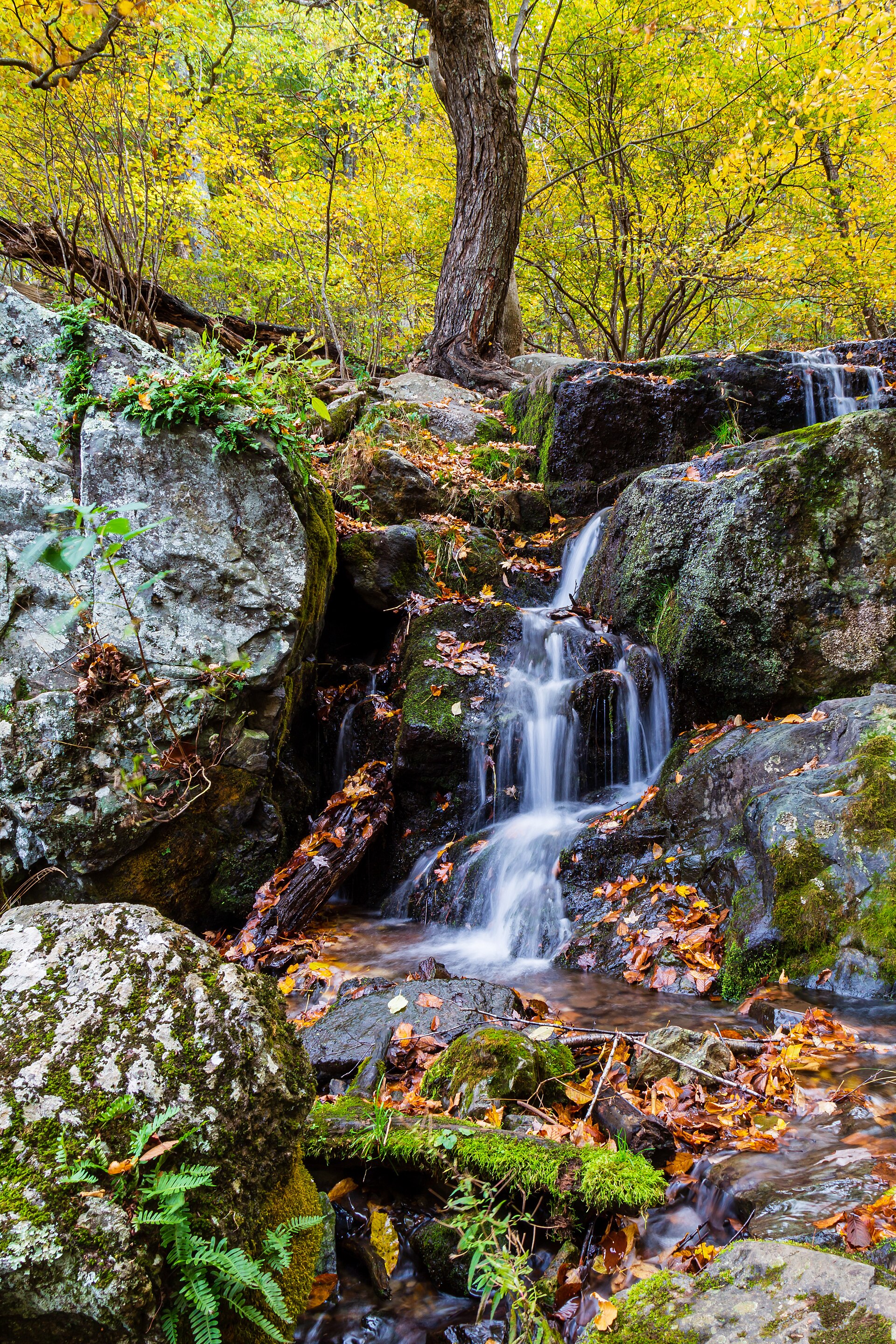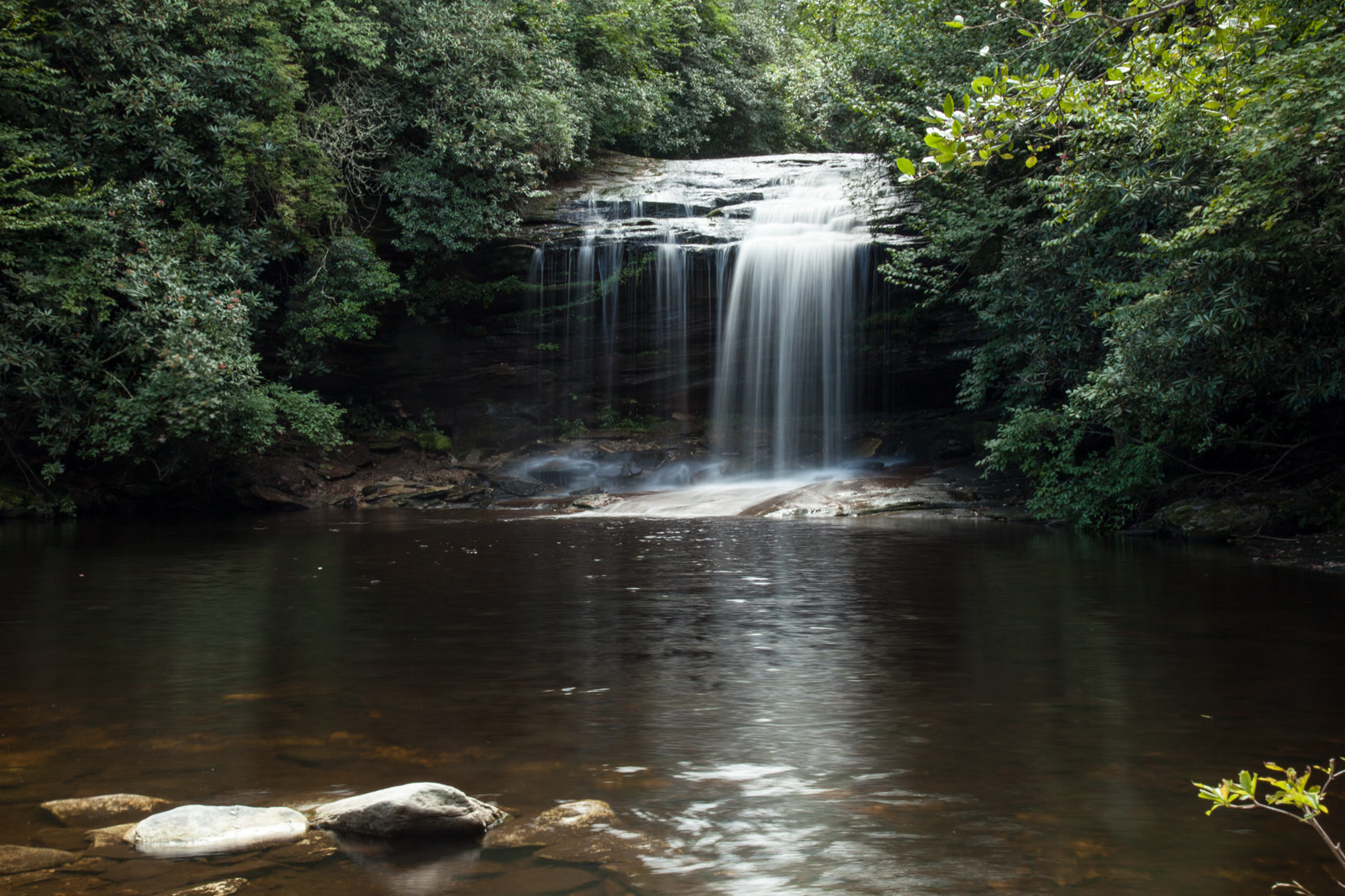
Fig. 1Schoolhouse Falls on Greenland Creek, Panthertown Valley
Landform
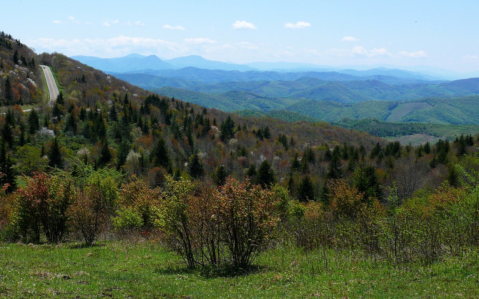
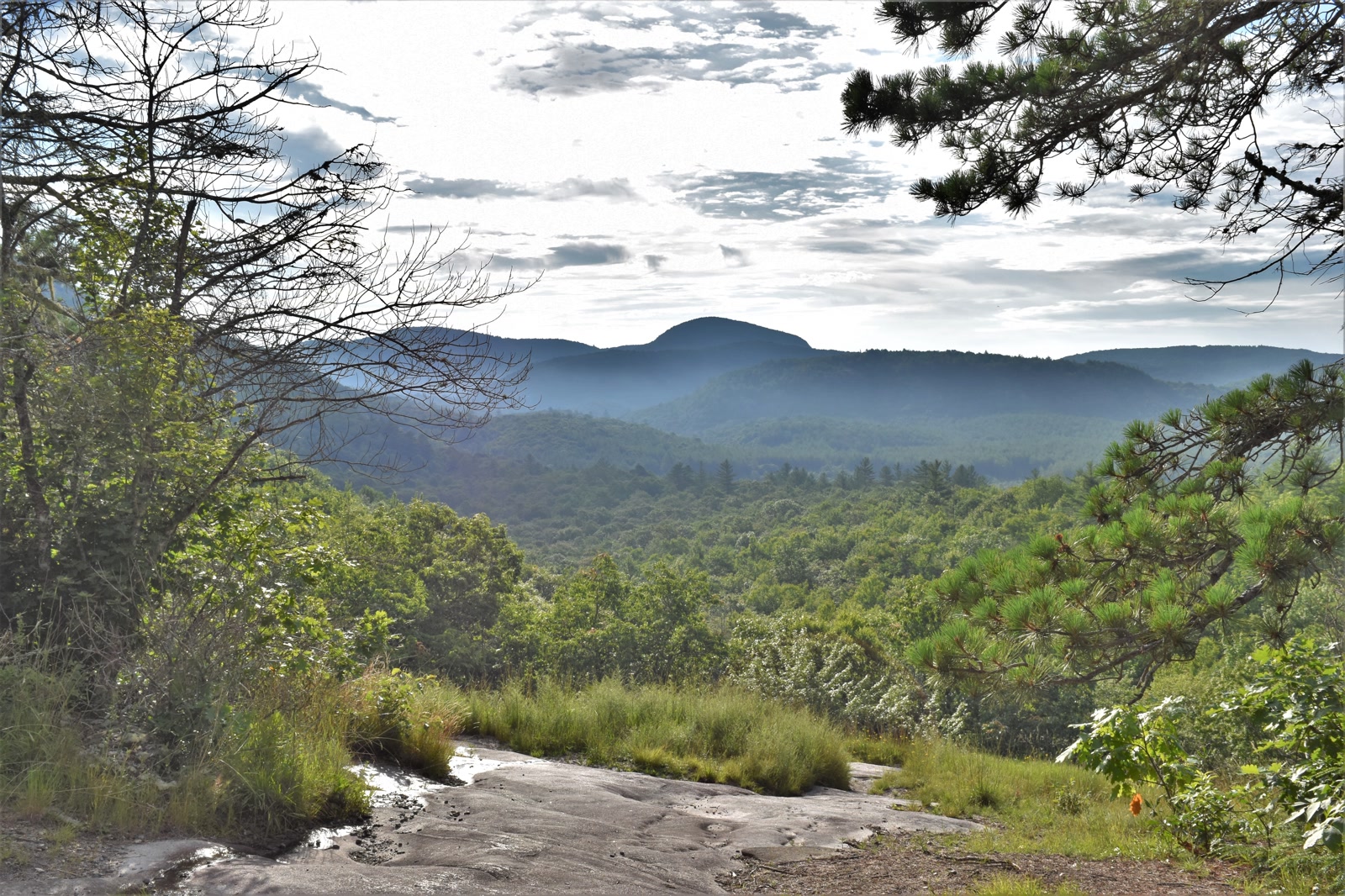
Whaleback granite, a high bog, and Schoolhouse Falls on Greenland Creek — Nantahala backcountry, not a parkway overlook.
Field note
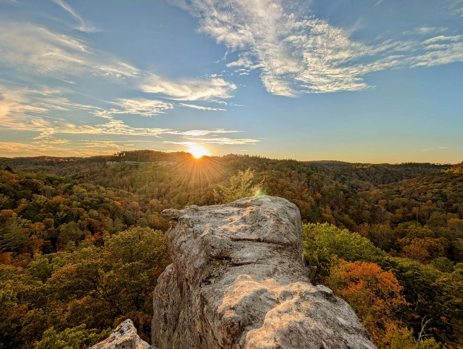
Schoolhouse Falls drops over a clean granite lip on Greenland Creek. Salt Rock and the other domes stand above a bog the Forest Service kept as backcountry. Cashiers and Lake Toxaway are the towns; the trailheads sit off Cold Mountain Road, and no road runs the valley. This plate is Panthertown, not Looking Glass Rock and not Linville Gorge.
Panthertown is Nantahala backcountry above Cashiers. You walk in from Cold Mountain Road. Schoolhouse Falls is the granite lip on Greenland Creek; the bog and the domes are the rest of the valley. This plate is Panthertown, not Pisgah and not Linville Gorge.