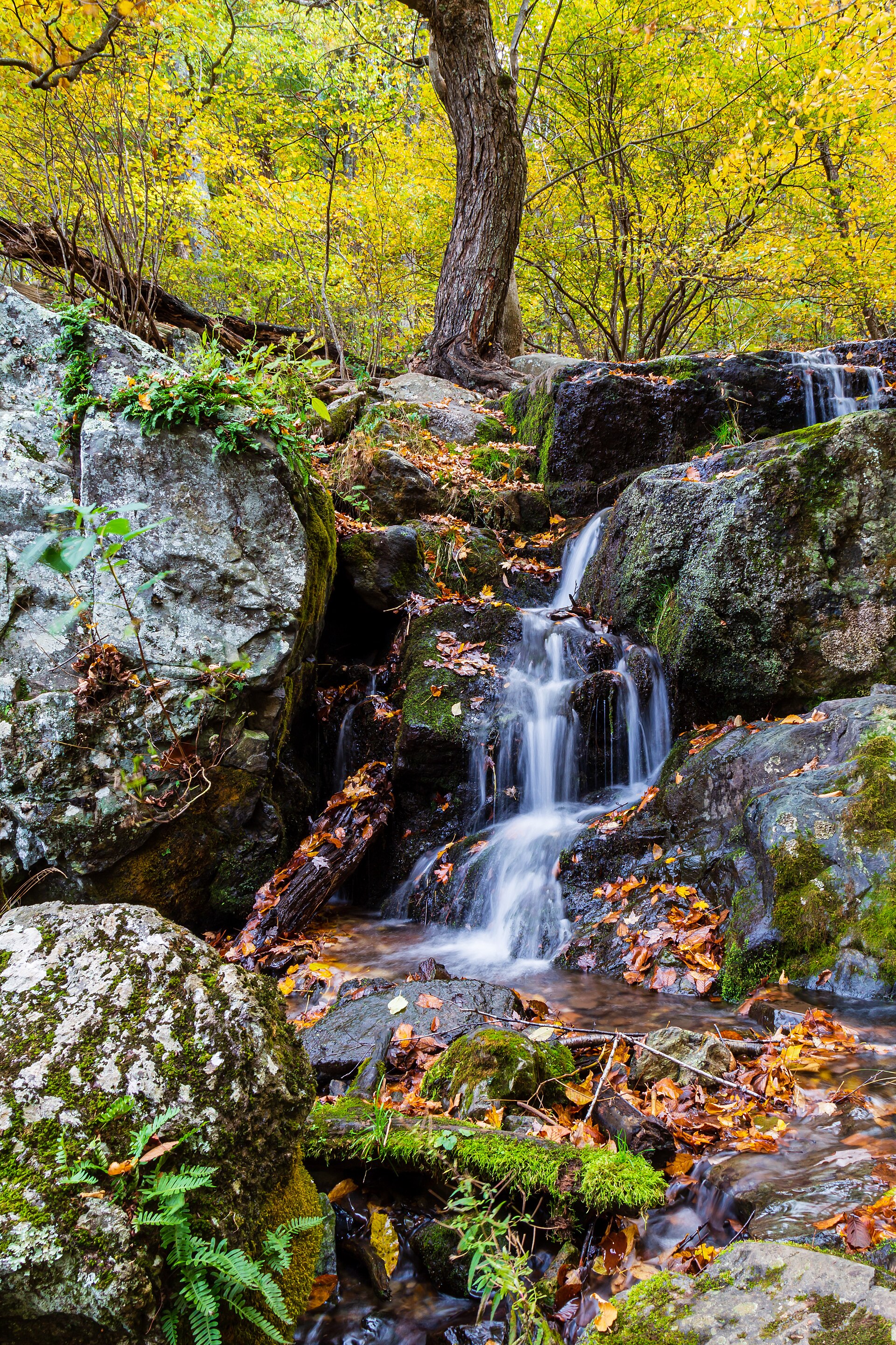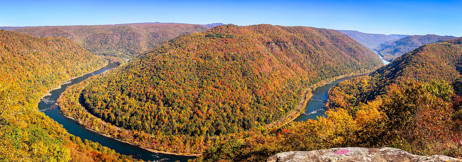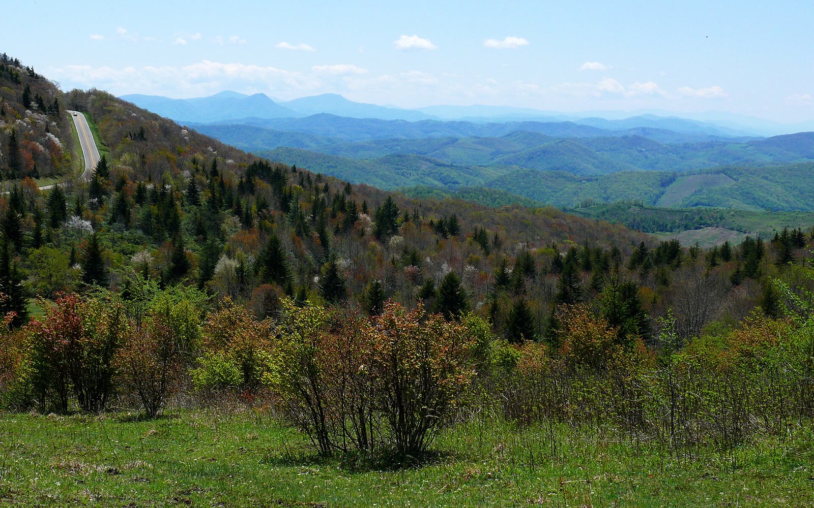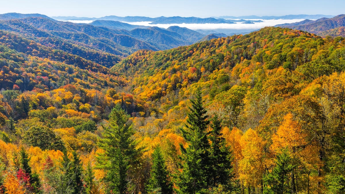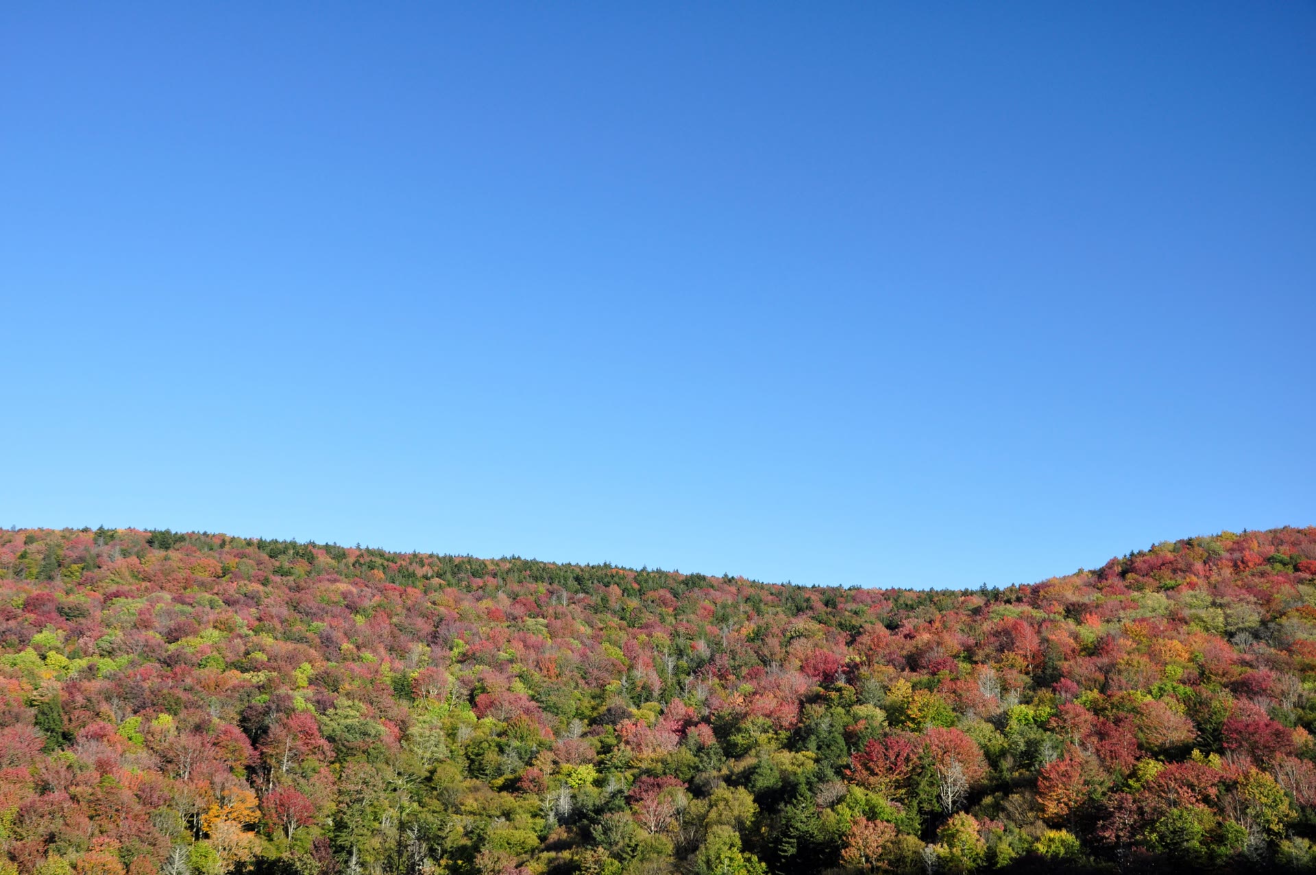
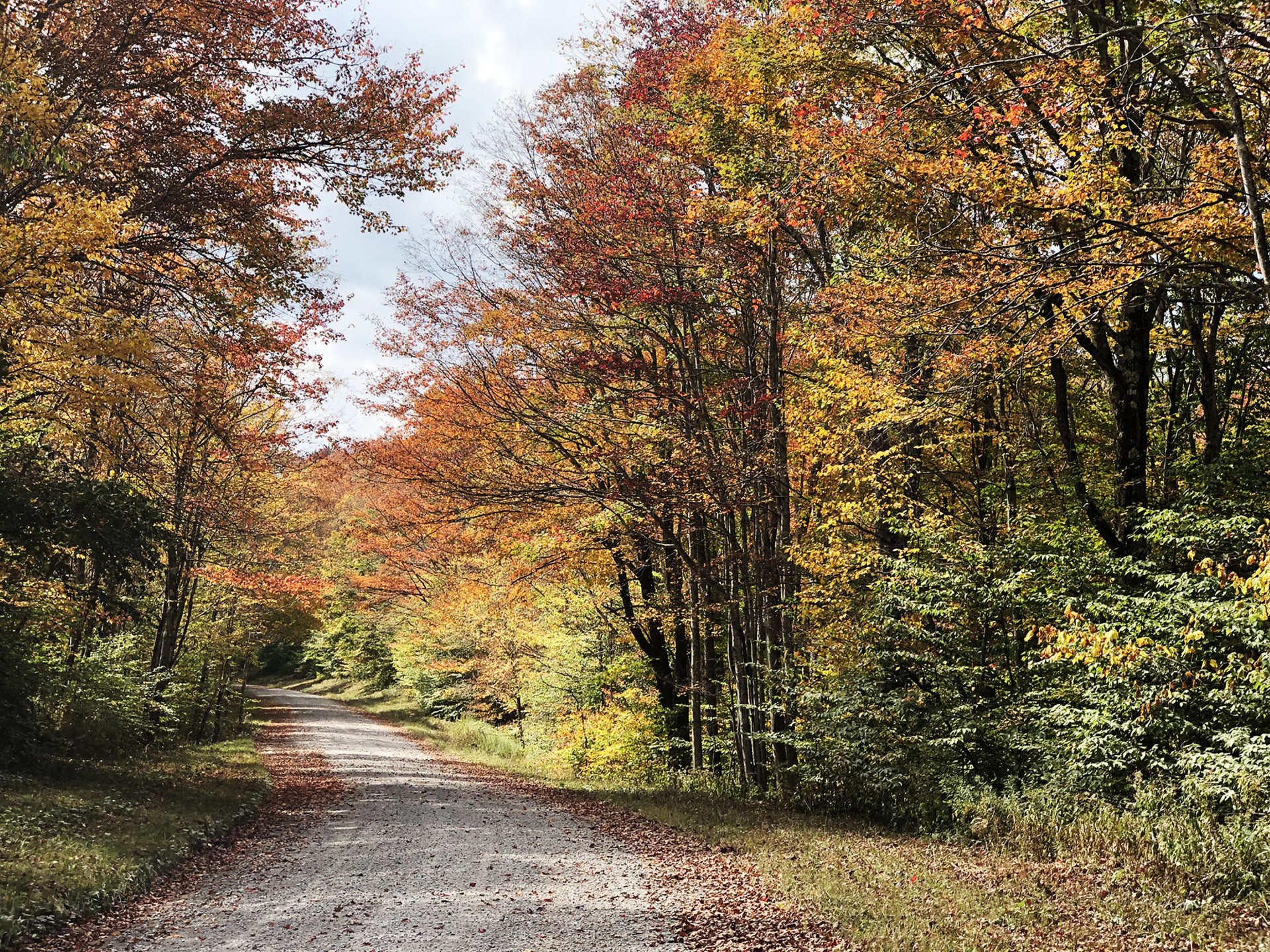


Fall color on the Highland Scenic Highway, Monongahela National Forest
Landform
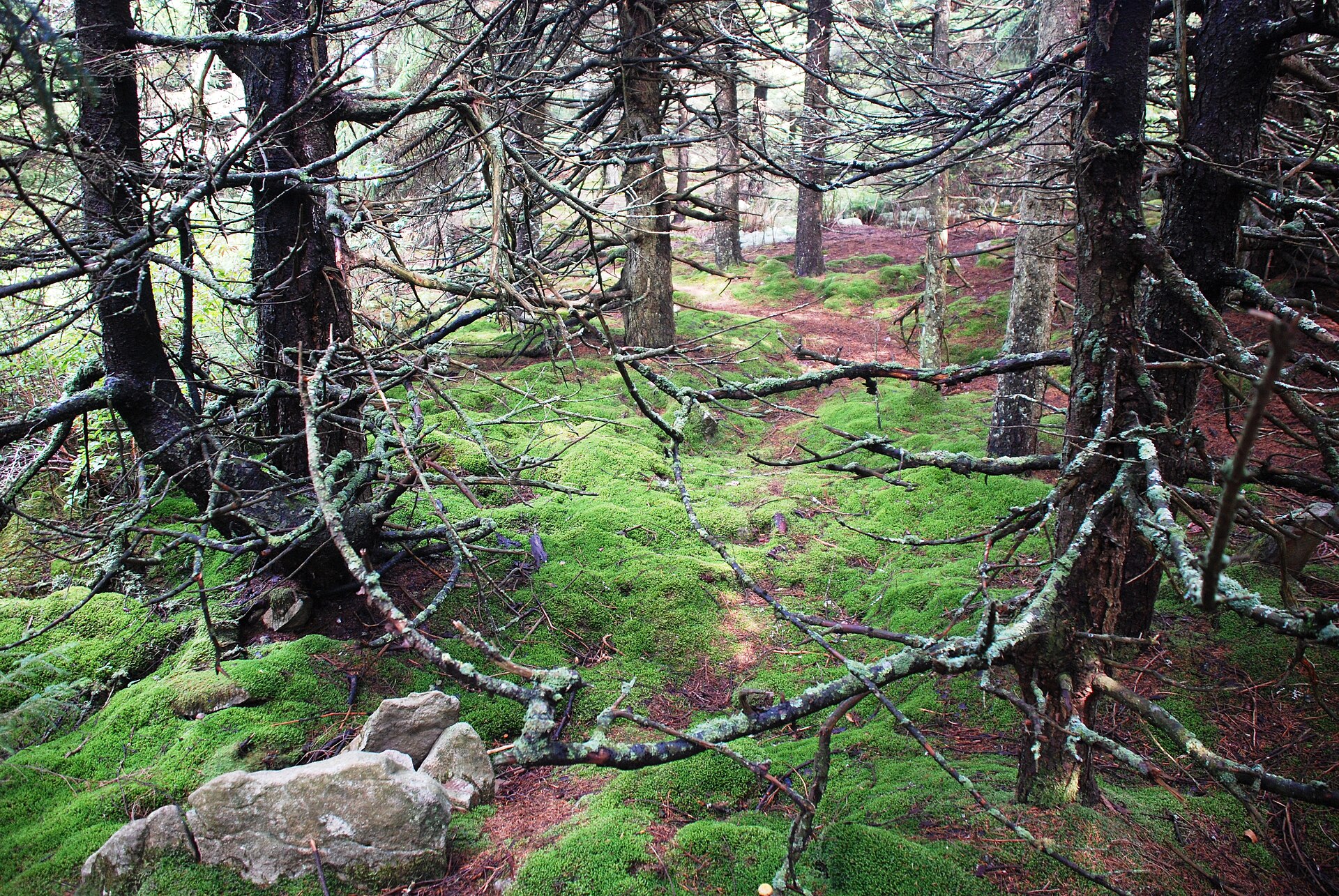
Second-growth spruce and hardwood on the Allegheny Front — more than 921,000 acres, eight wildernesses, and Spruce Knob as the high point
Field note
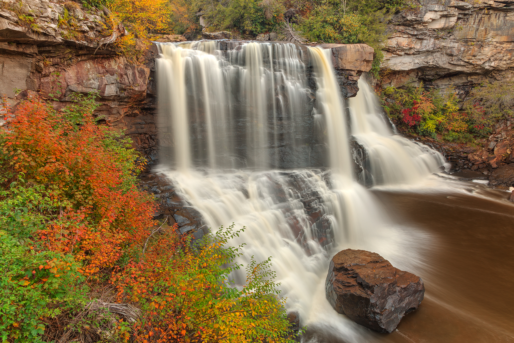
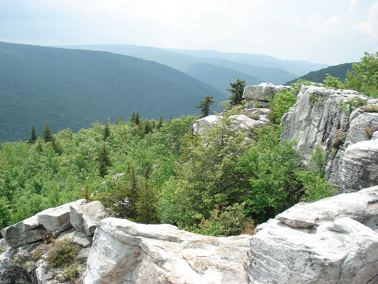
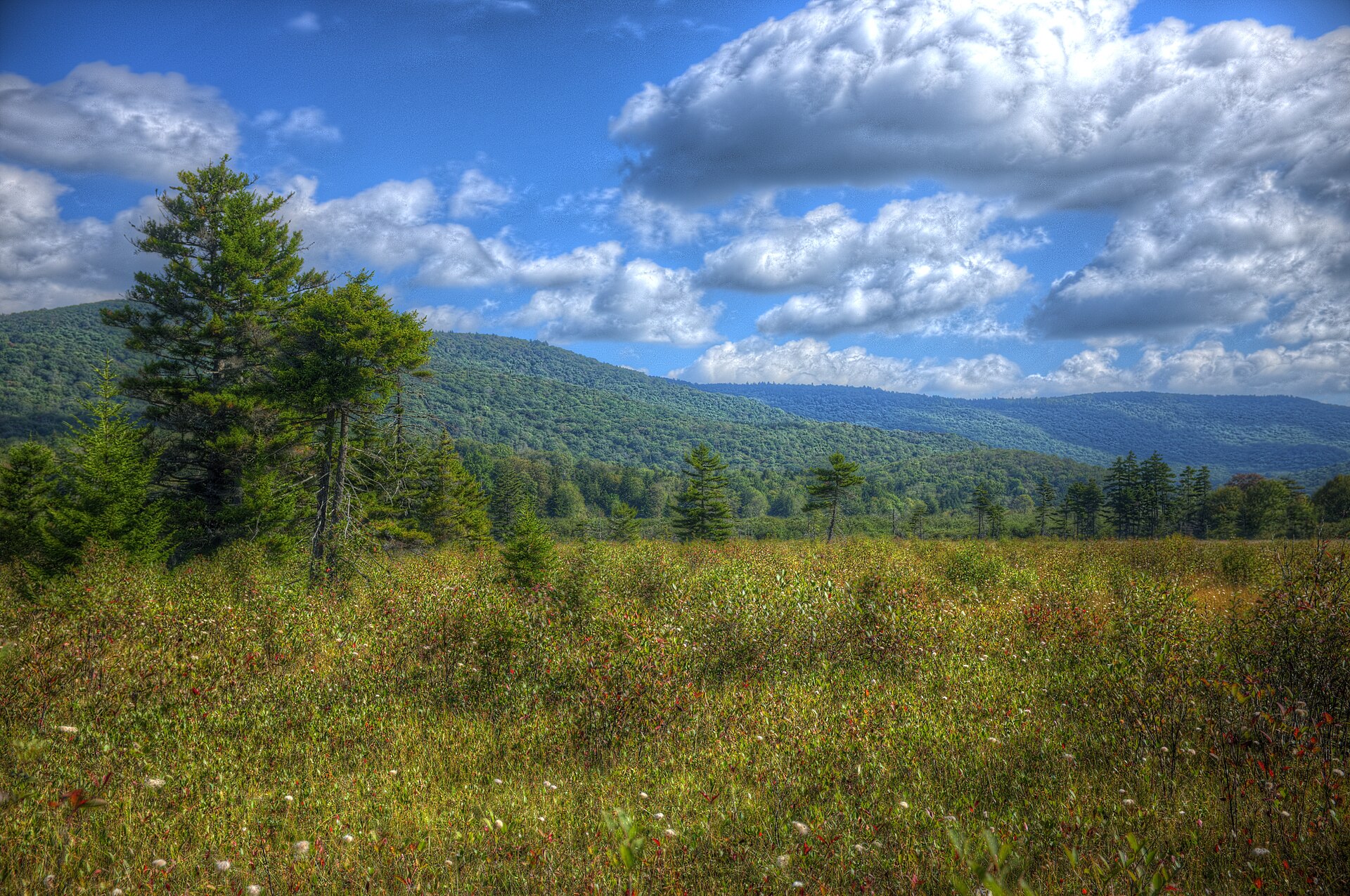
The Monongahela became a national forest on April 28, 1920. It holds more than 921,000 acres in the Allegheny Mountains of eastern West Virginia, with the supervisor's office in Elkins. Spruce Knob, Dolly Sods, and Cranberry Glades lie inside it and keep their own plates. Blackwater Falls is the state-park drop nearby. This plate is the forest.
The Monongahela is the Allegheny forest east of Elkins, more than 921,000 acres, with Spruce Knob as the high point. Cranberry Glades, Dolly Sods, and the knob keep their own plates. This plate is the forest, not Blackwater Falls.