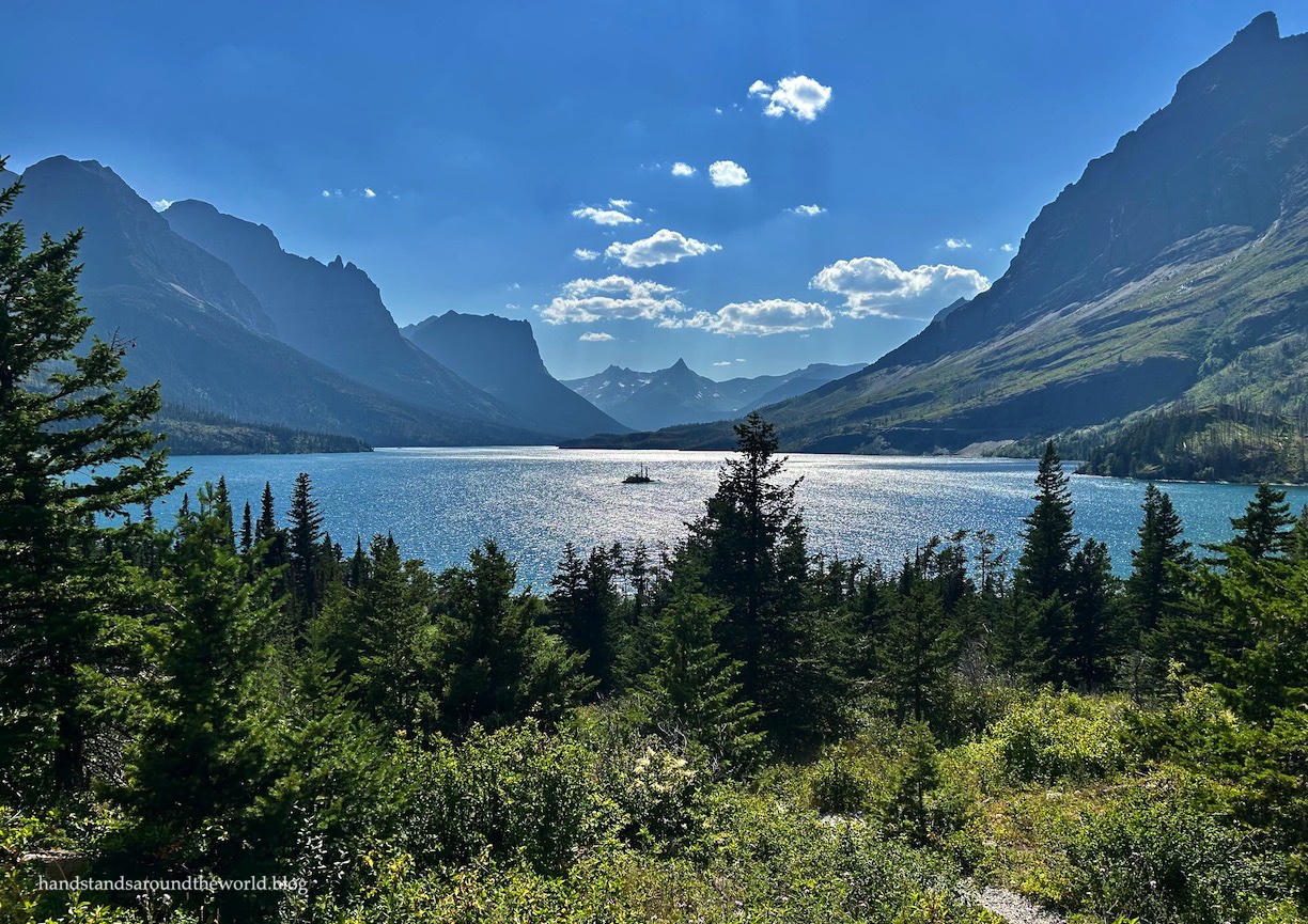
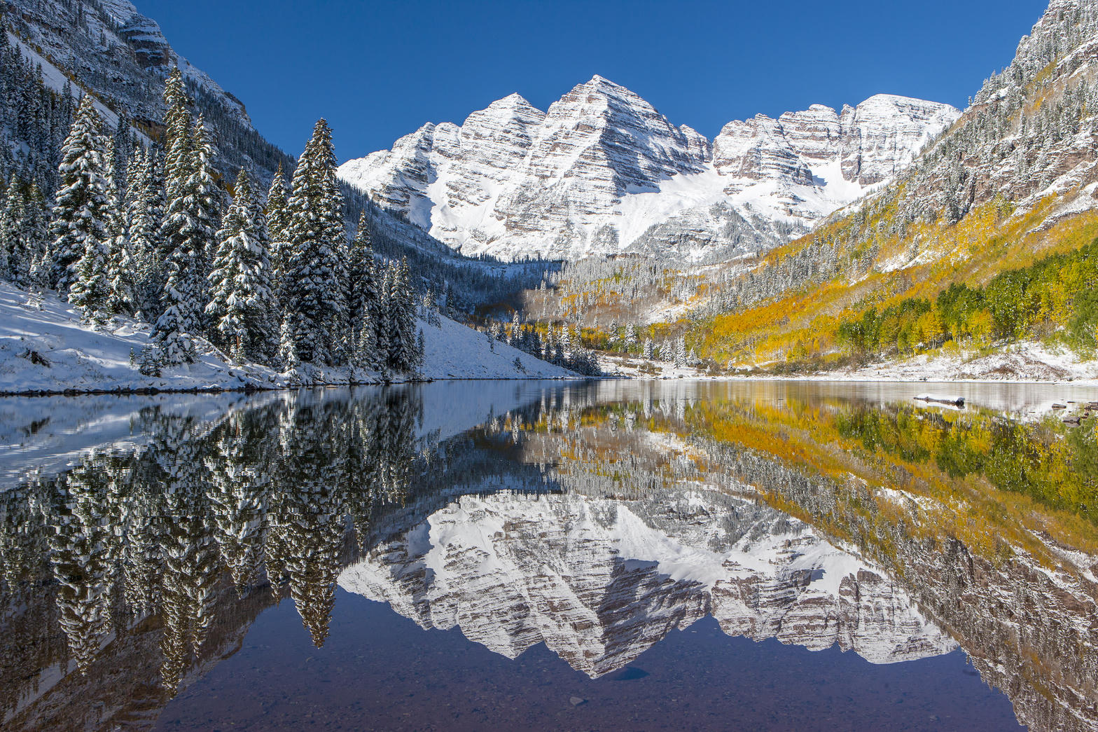
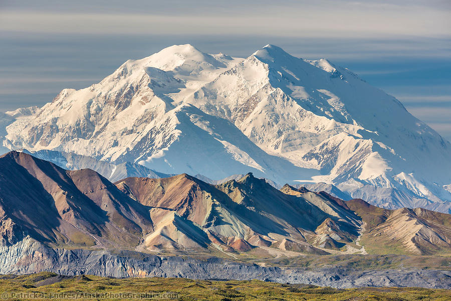
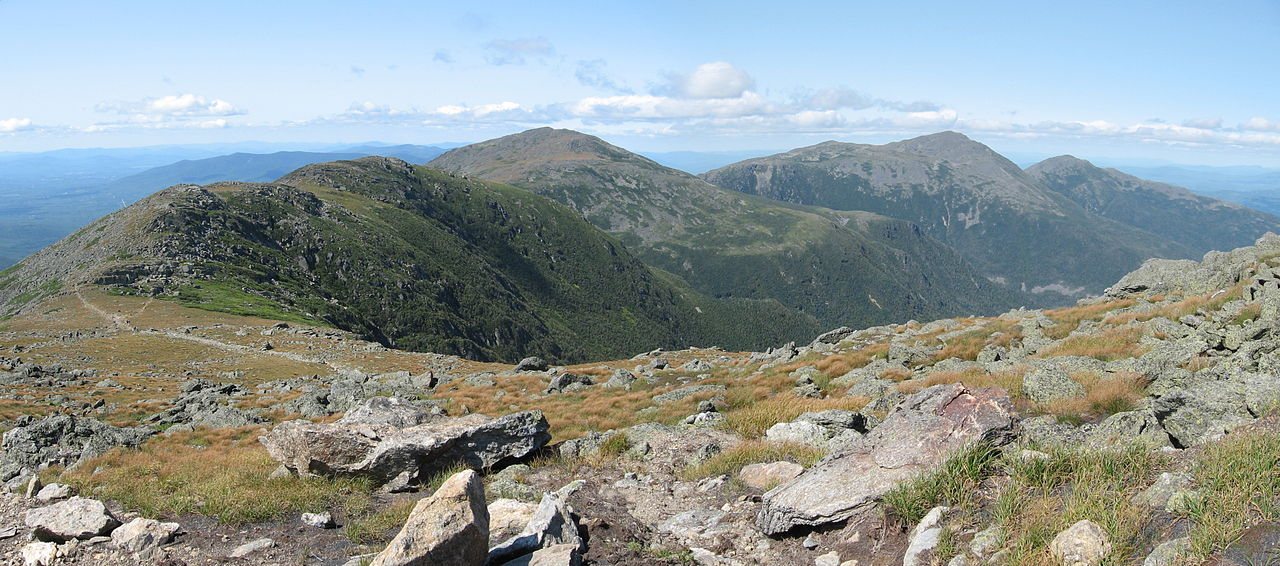
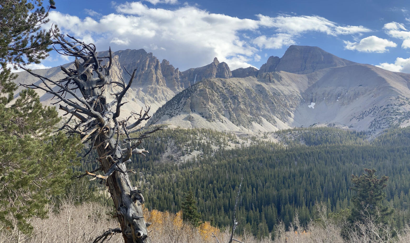
Fig. 1
Glacier Gorge and Bear Lake, Rocky Mountain National Park
Landform
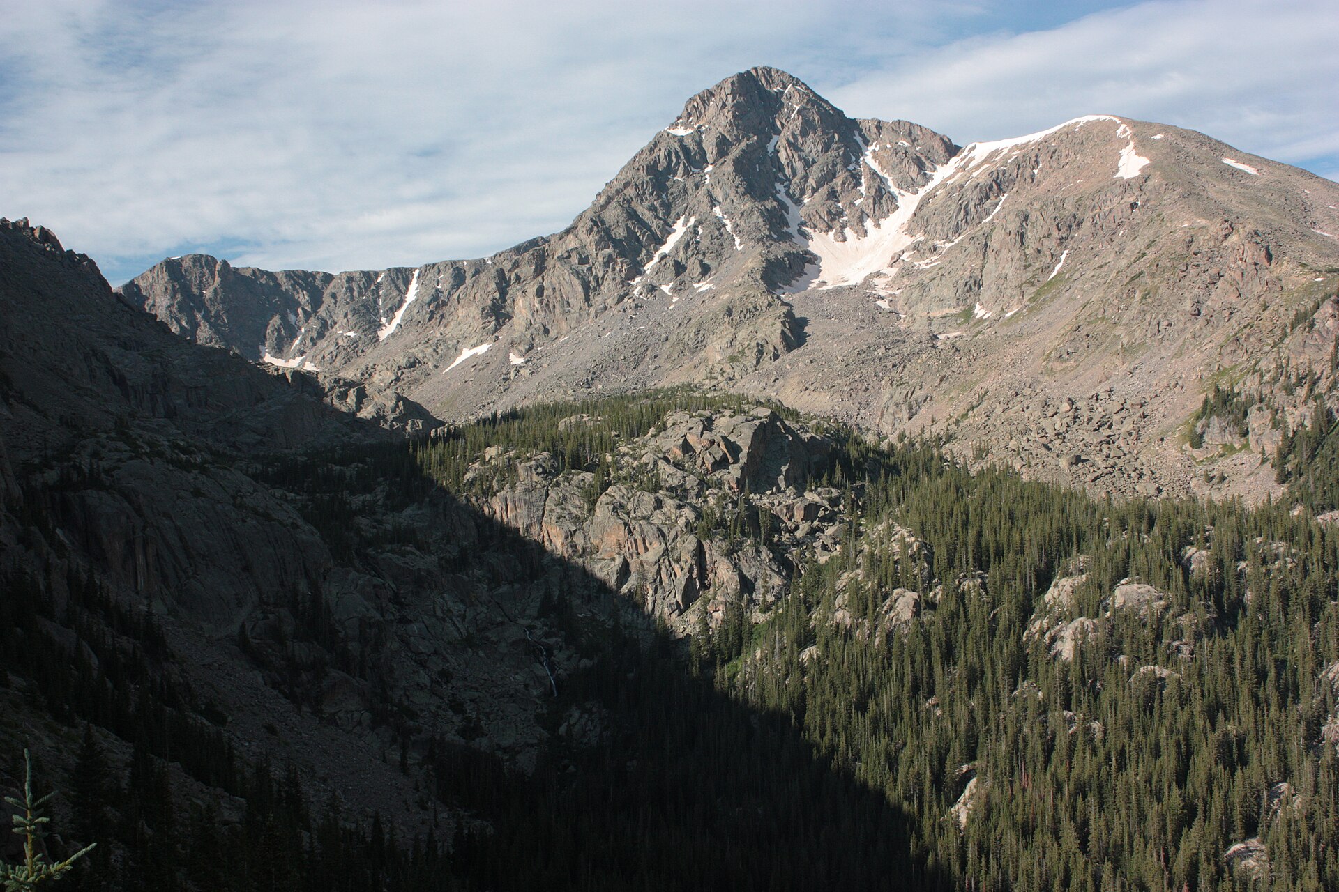
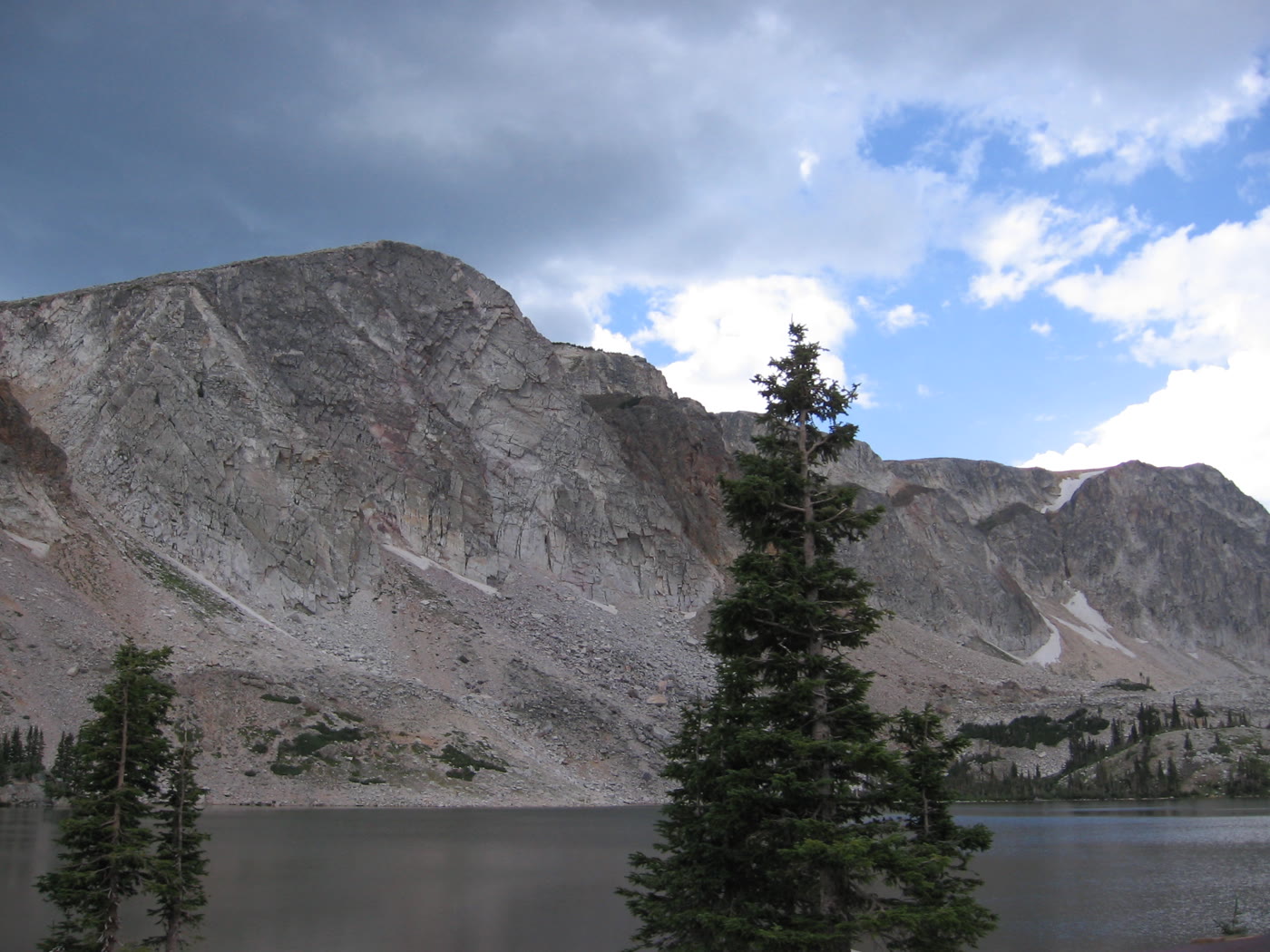
Front Range alpine country: Bear Lake, Glacier Gorge, and Longs Peak at 14,259 feet. Trail Ridge Road is its own plate.
Field note
The National Park Service administers Rocky Mountain National Park, established in 1915. Bear Lake and Glacier Gorge are the high basins most walkers use. Longs Peak is 14,259 feet. Trail Ridge Road, the tundra highway, is a separate plate so this one can stay with the lakes and the peak. Maroon Bells and the San Juan plates are other Colorado mountains, not this park.