State chapter
Wild places in Texas
Texas has 19 plates in this atlas, on hills, prairie, canyon, desert, dunes, forest, and wetland ground.

FrontispieceBig Bend, Texas
- Plates
- 19
- Terrains
- Hills, Prairie, Canyon, Desert, Dunes, Forest, Wetland
Texas
The plates
Plate VIIIBig Bend
canyonChihuahuan Desert, Rio Grande, Texas
Where the river cuts a door through desert mountains.
29.2° N · 103.3° WOpen plate →
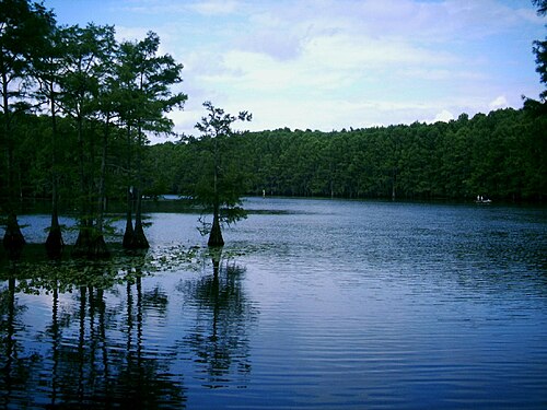 Plate LII
Caddo Lake
wetlandCypress swamp on the Texas–Louisiana line, Texas / Louisiana
A forest that decided to stand in the water.
32.7° N · 94.1° WOpen plate →
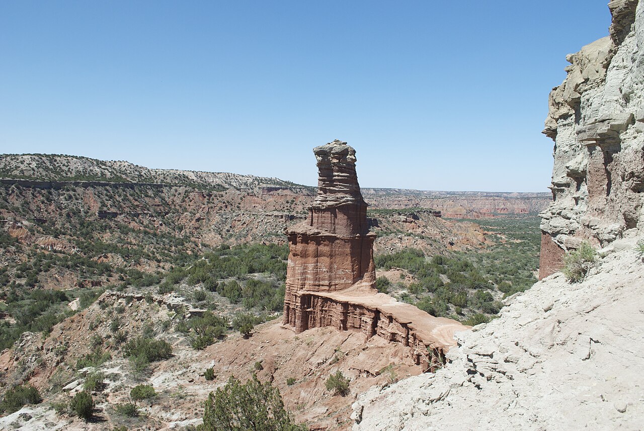 Plate LXVII
Palo Duro Canyon
canyonCaprock Escarpment, Texas Panhandle, Texas
A Grand Canyon the plains kept for themselves.
35.0° N · 101.7° WOpen plate →
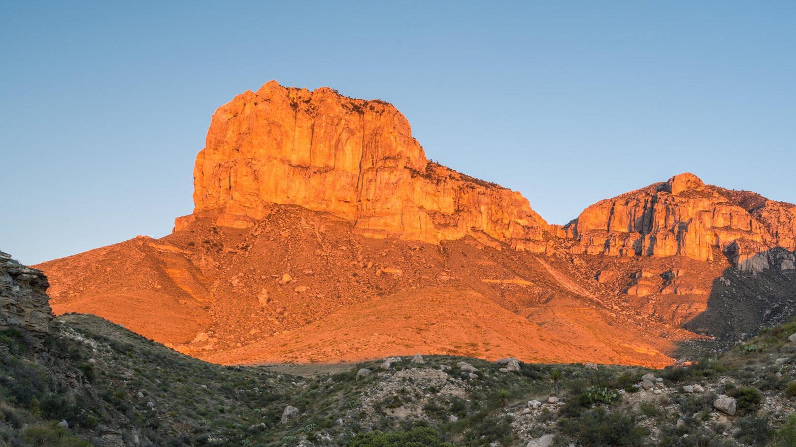 Plate LXVIII
Guadalupe Mountains
desertPermian Reef, Chihuahuan Desert, Texas
A fossil sea, now a mountain, now a wall of evening fire.
31.9° N · 104.9° WOpen plate →
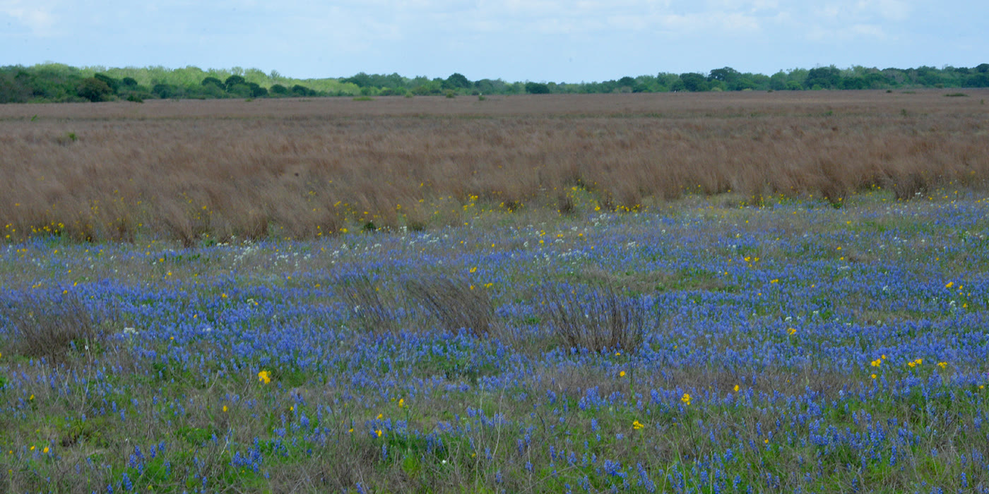 Plate CLVII
Attwater Prairie Chicken National Wildlife Refuge
prairieColorado County, near Eagle Lake, Texas
Coastal grassland kept for a bird that almost vanished.
29.7° N · 96.3° WOpen plate →
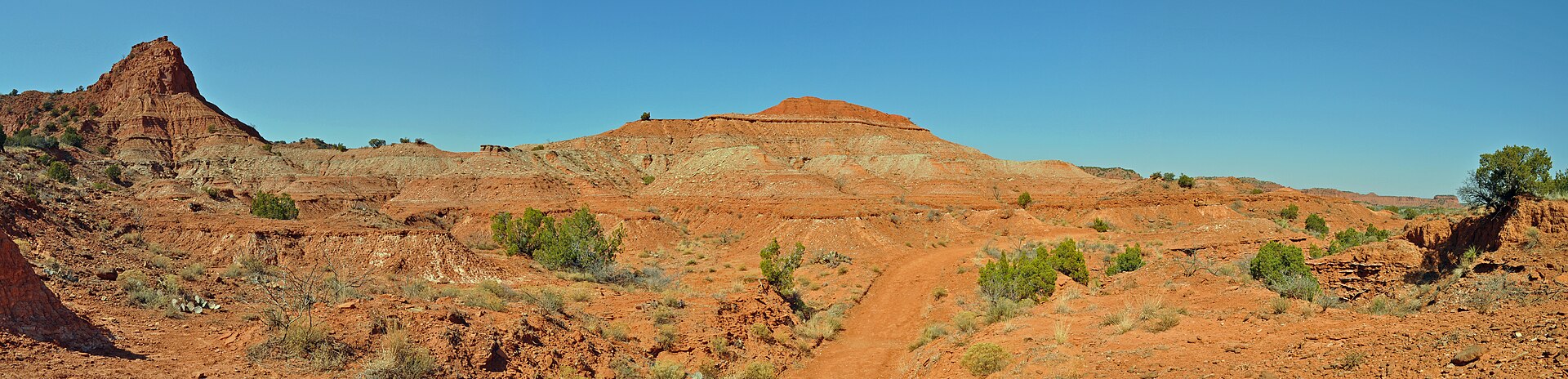 Plate CCXLVIII
Caprock Canyons
canyonCaprock Escarpment, near Quitaque, Texas
Palo Duro’s quieter red cut, still wearing prairie.
34.4° N · 101.1° WOpen plate →
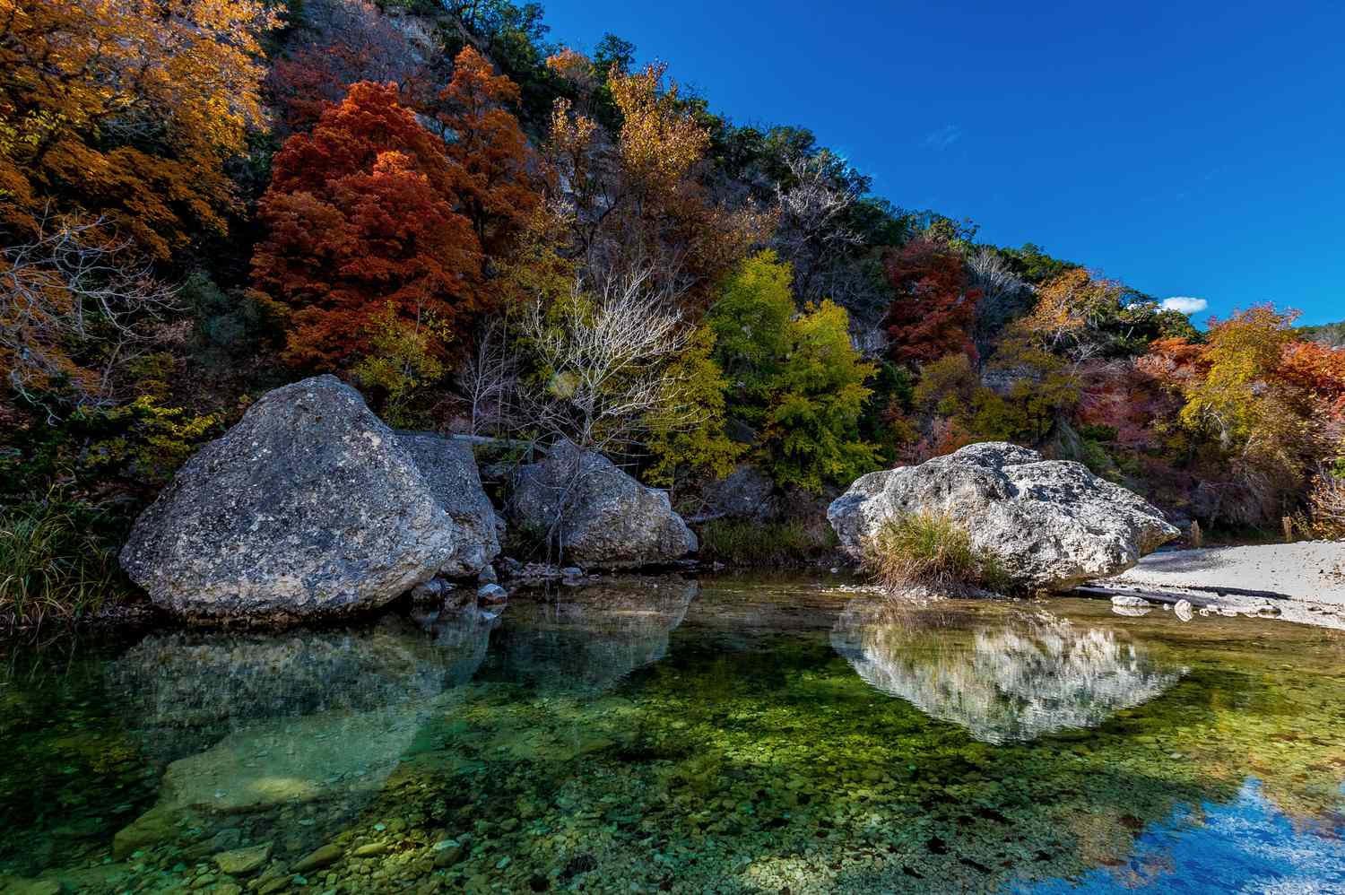 Plate CCXLIX
Lost Maples
forestEdwards Plateau, Bandera County, Texas
A Hill Country canyon that waits for October.
29.8° N · 99.6° WOpen plate →
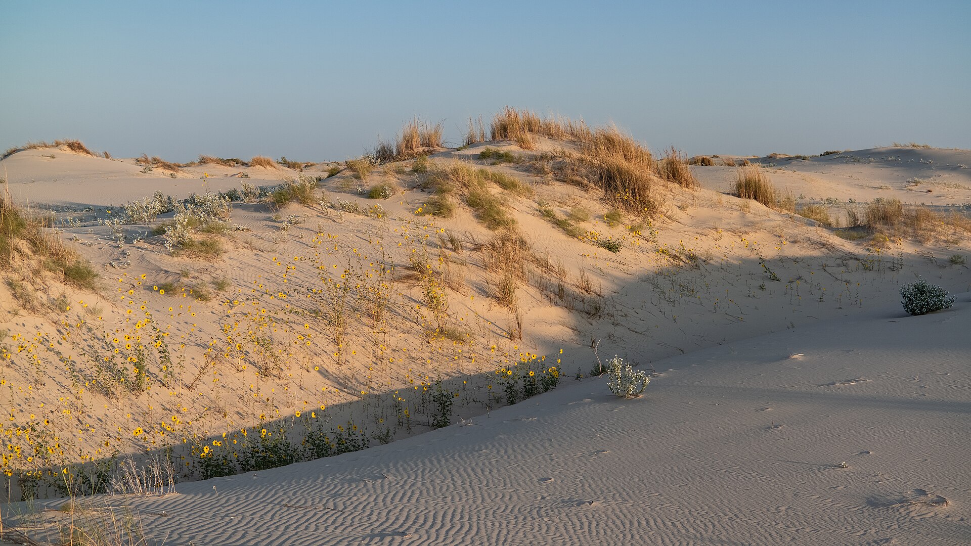 Plate CCL
Monahans Sandhills
dunePermian Basin, Ward County, Texas
A Sahara the basin kept between oil towns.
31.6° N · 102.8° WOpen plate →
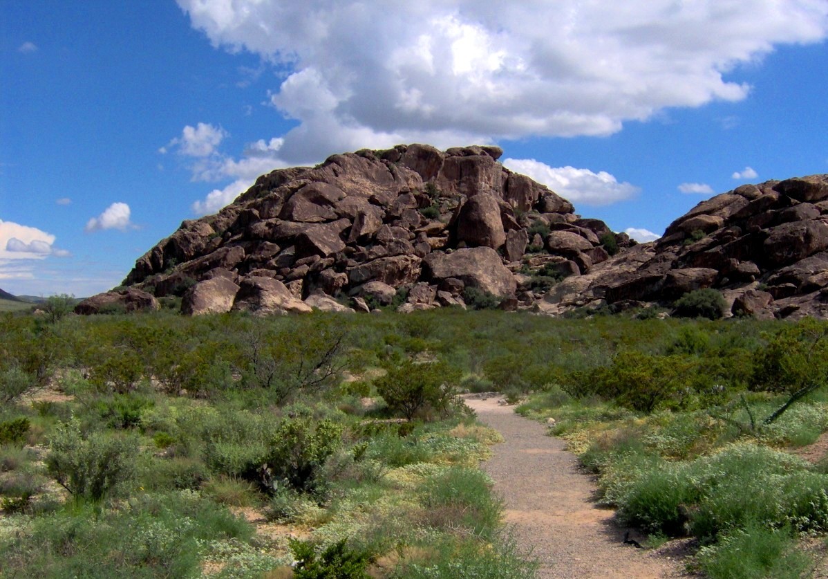 Plate CCLI
Hueco Tanks
hillsHueco Mountains, east of El Paso, Texas
Three stone hills that learned to keep water.
31.9° N · 106.0° WOpen plate →
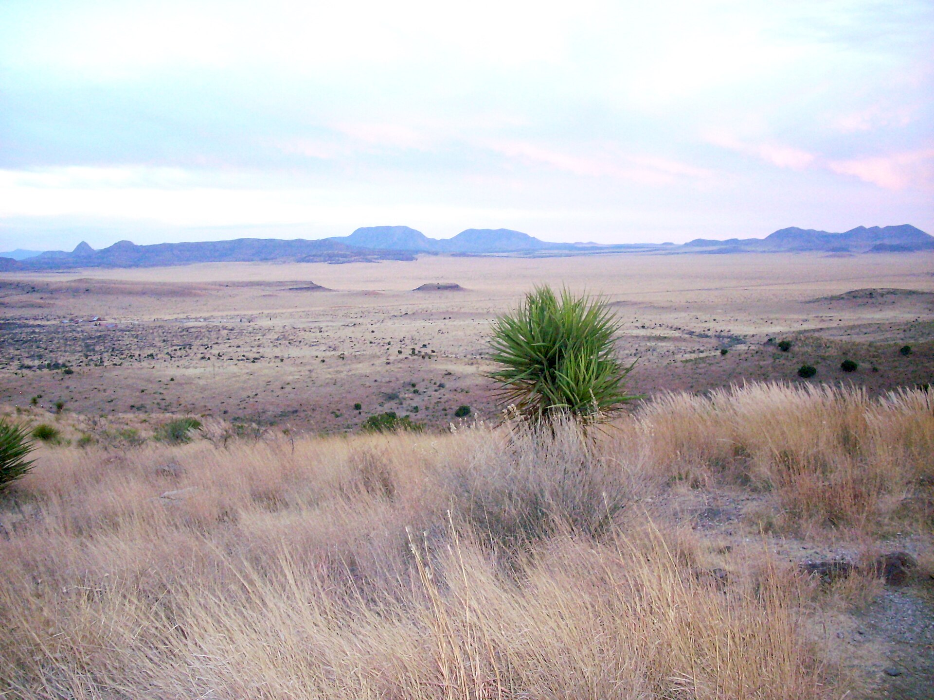 Plate CCLII
Davis Mountains
hillsTrans-Pecos, Jeff Davis County, Texas
A sky island the interstate forgot.
30.6° N · 103.9° WOpen plate →
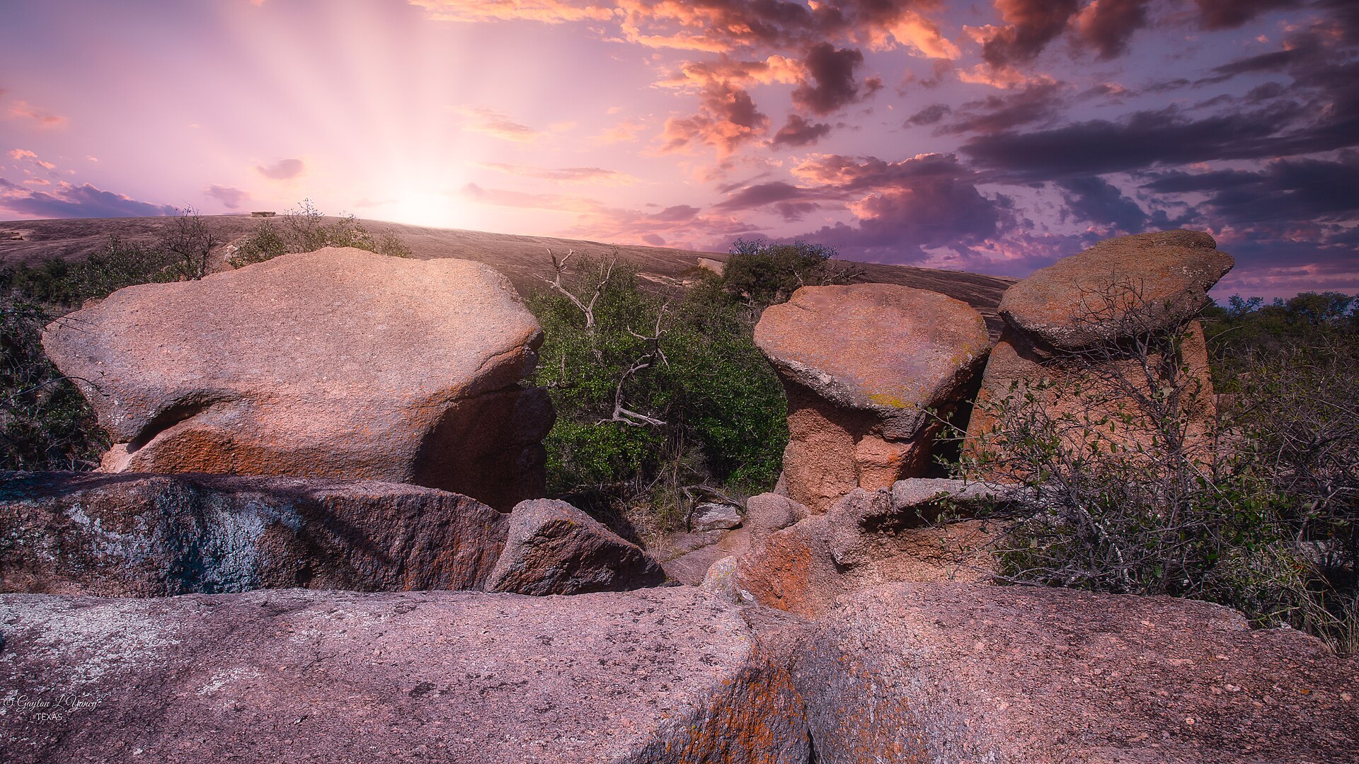 Plate CCLVIII
Enchanted Rock
hillsTexas Hill Country, Gillespie County, Texas
A granite whale the Hill Country kept.
30.5° N · 99.3° WOpen plate →
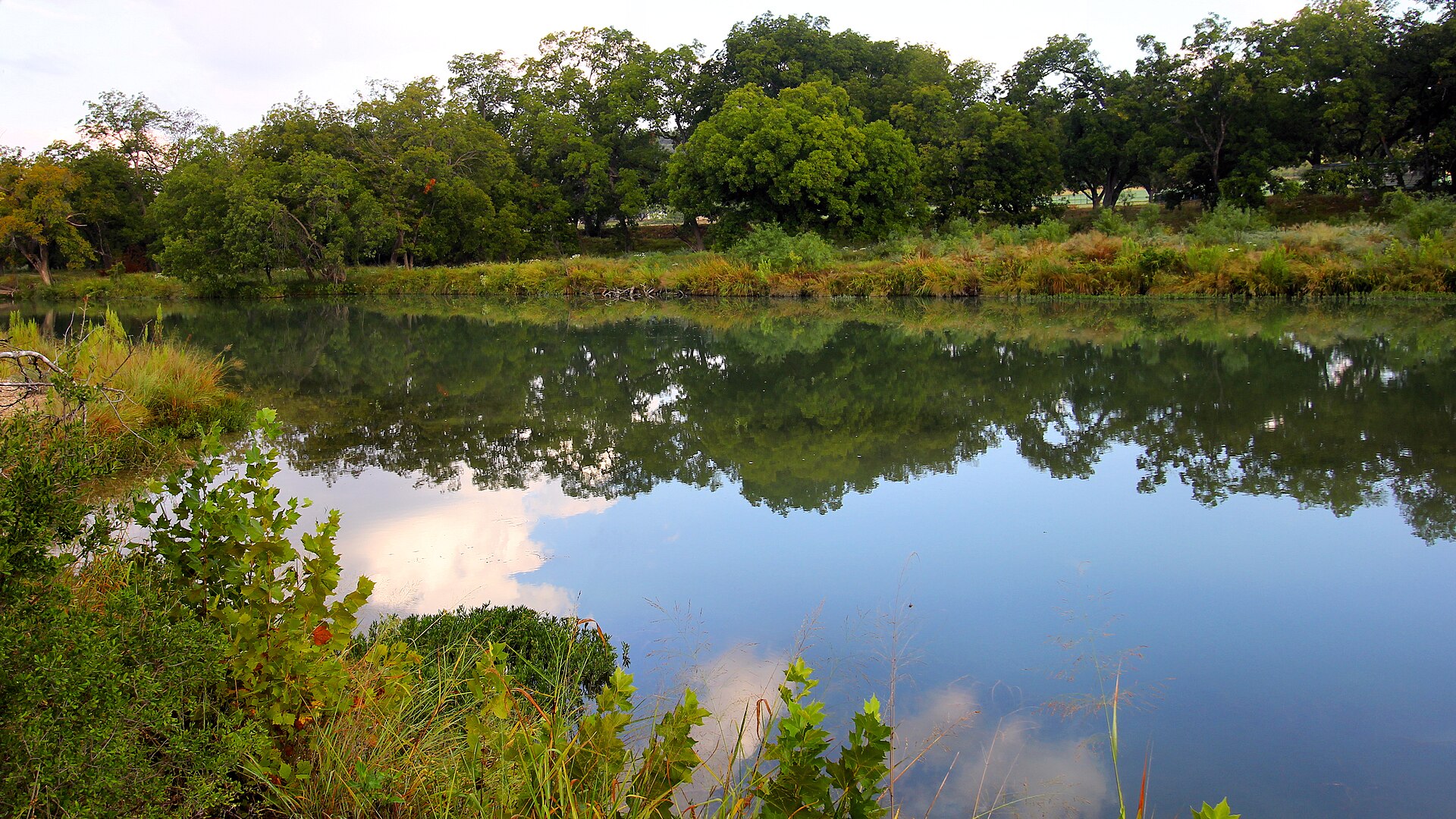 Plate CCLX
South Llano
hillsEdwards Plateau, Kimble County, Texas
A Hill Country river that still reads as water and woods.
30.4° N · 99.8° WOpen plate →
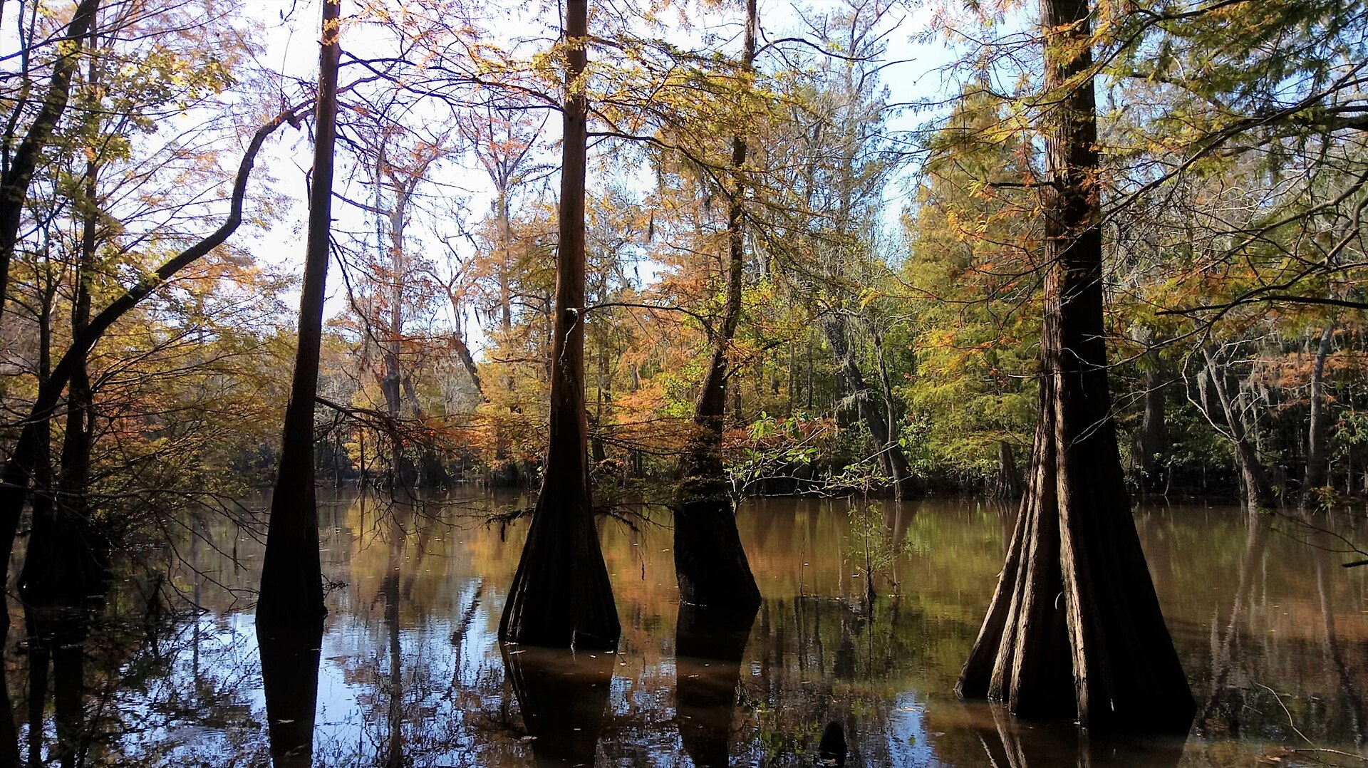 Plate CCLXI
Big Thicket
forestPineywoods, Texas
A cypress thicket the Pineywoods kept.
30.5° N · 94.3° WOpen plate →
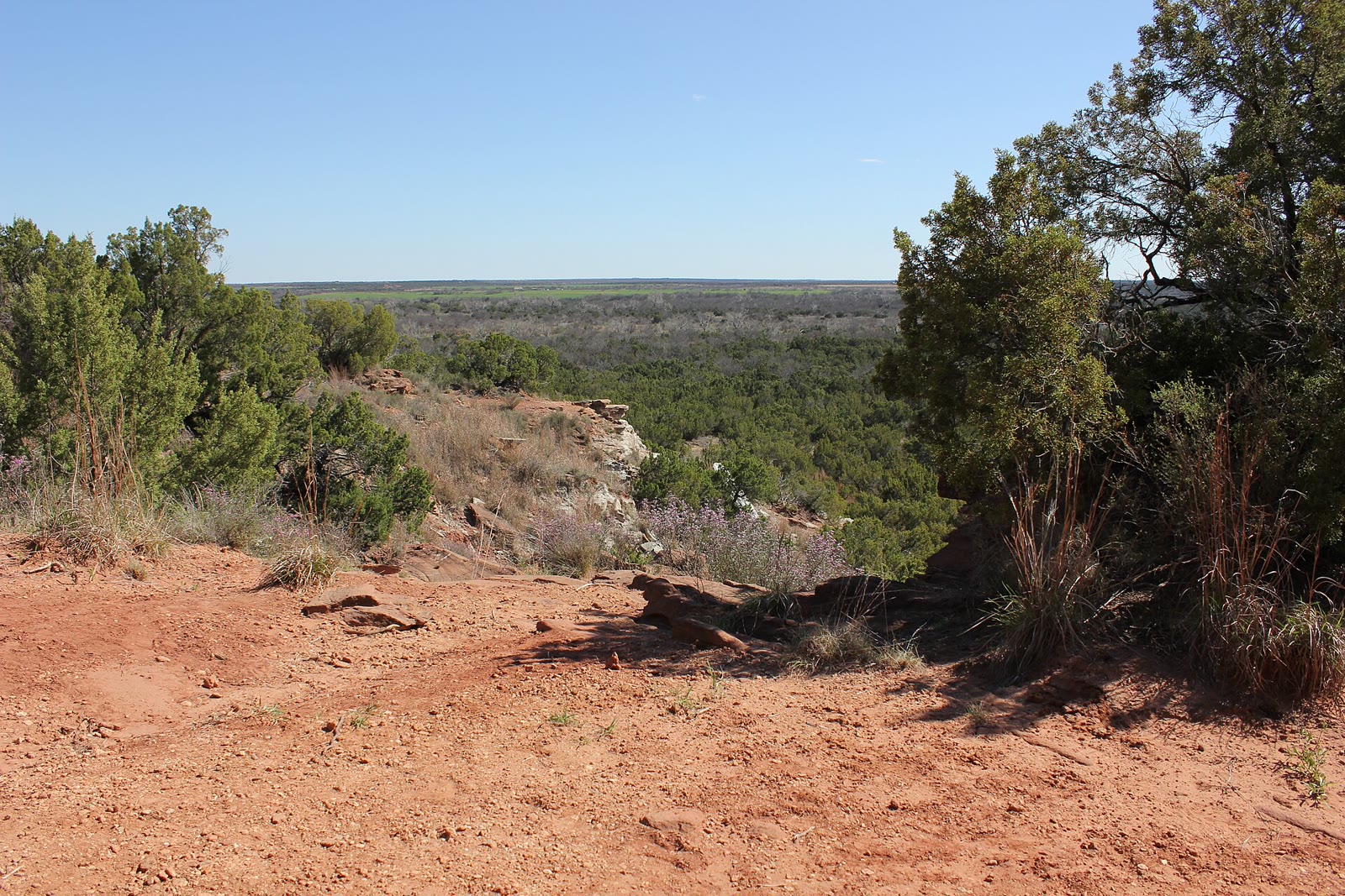 Plate CCLXII
Copper Breaks
canyonPease River breaks, Hardeman County, Texas
A red break the Panhandle kept smaller.
34.1° N · 99.8° WOpen plate →
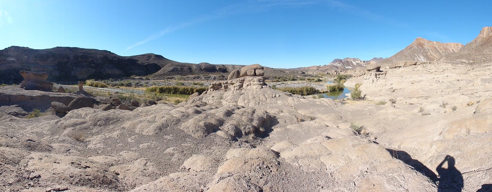 Plate CCLXVI
Big Bend Ranch
desertChihuahuan Desert, west of Lajitas, Texas
The desert the national park does not own.
29.5° N · 104.1° WOpen plate →
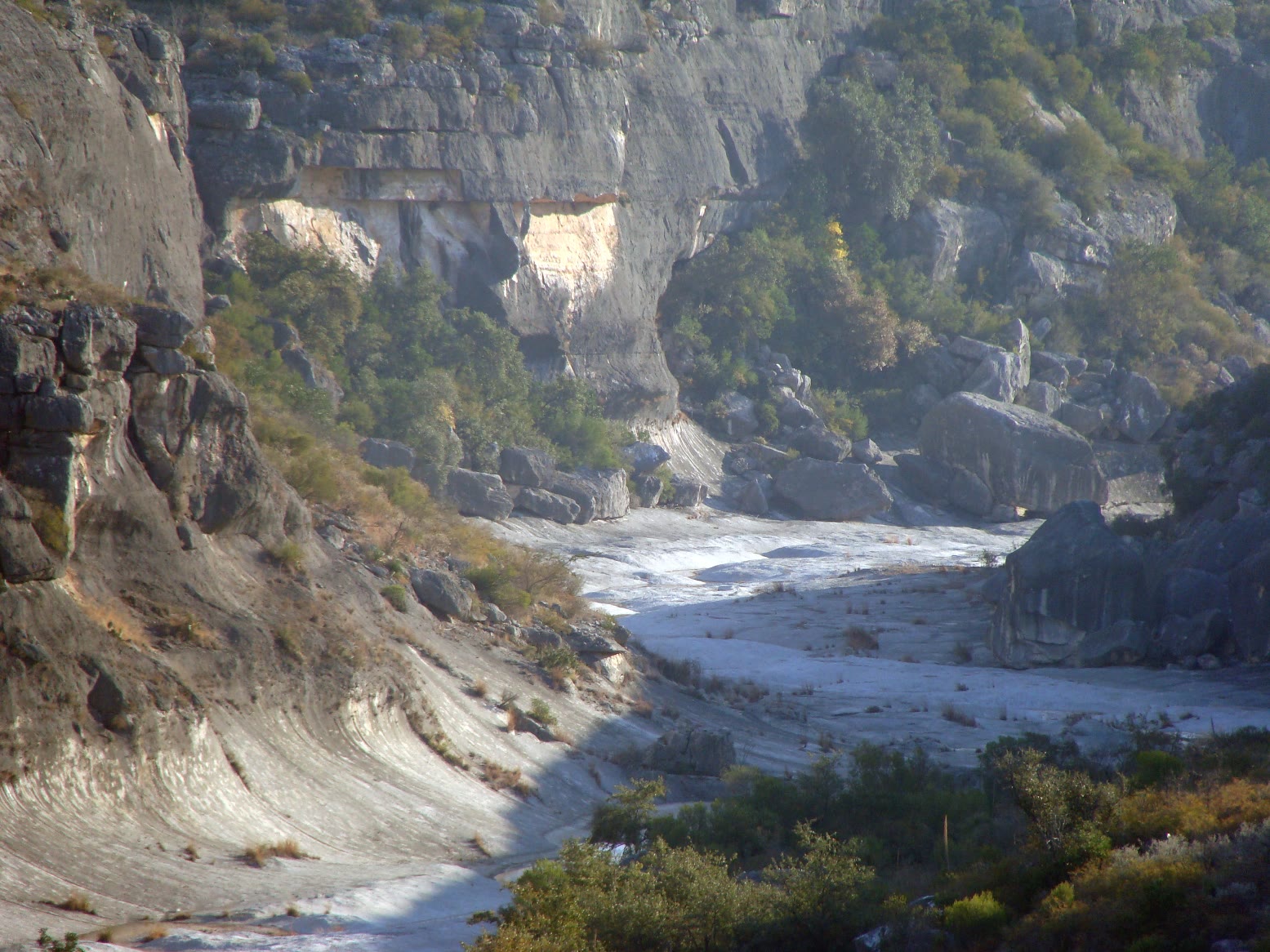 Plate CCLXX
Seminole Canyon
canyonPecos River, Val Verde County, Texas
A Pecos canyon that keeps its shade.
29.7° N · 101.3° WOpen plate →
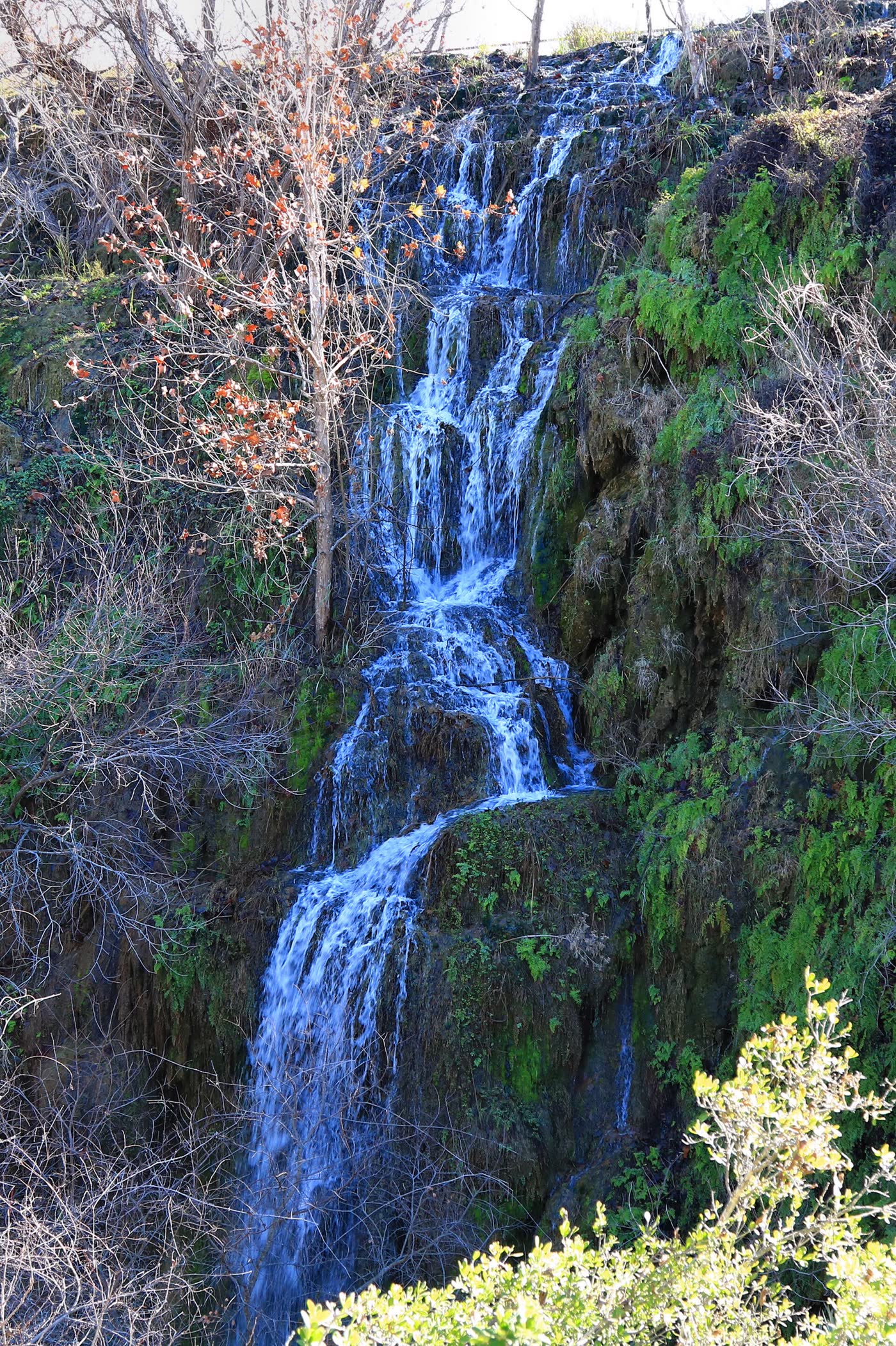 Plate CCLXXI
Colorado Bend
canyonColorado River, San Saba County, Texas
A river bend that still keeps a waterfall.
31.0° N · 98.5° WOpen plate →
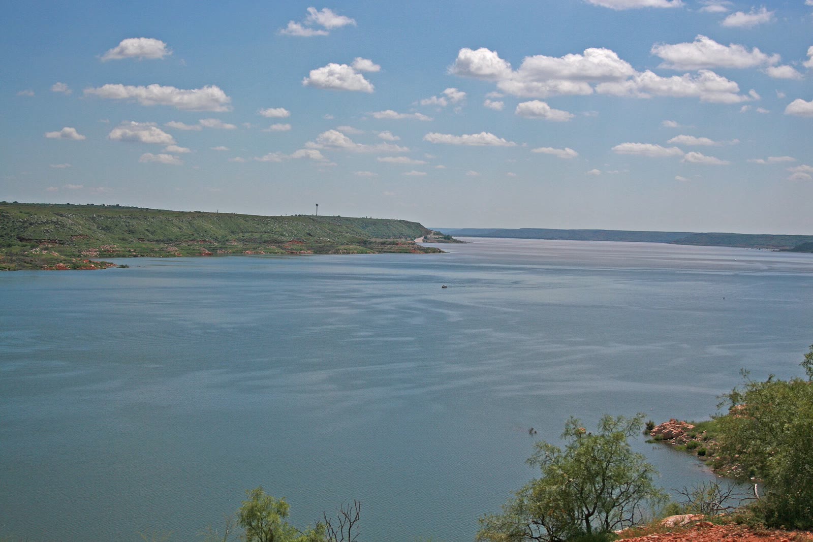 Plate CCLXXV
Lake Meredith
canyonCanadian River breaks, Hutchinson County, Texas
Blue water the Panhandle hid in red breaks.
35.6° N · 101.7° WOpen plate →
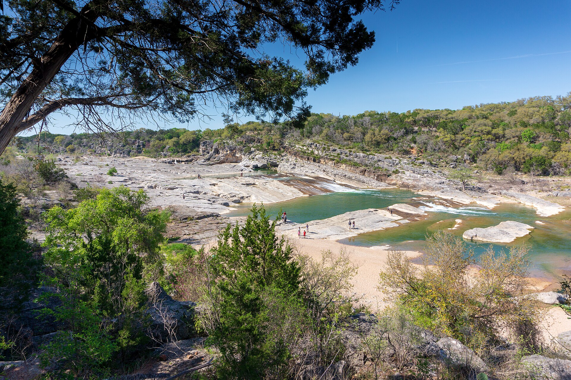 Plate CCCLXIII
Pedernales Falls
canyonBlanco County, east of Johnson City, Texas
A Hill Country river laid out in stone steps.
30.3° N · 98.2° WOpen plate →