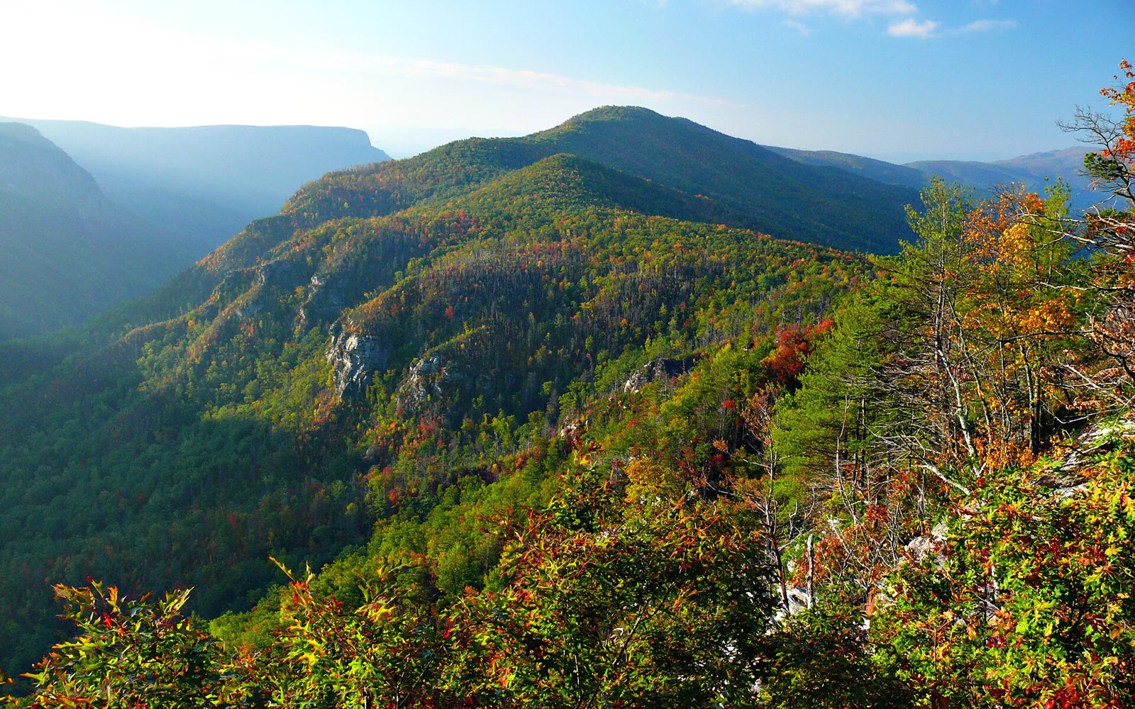
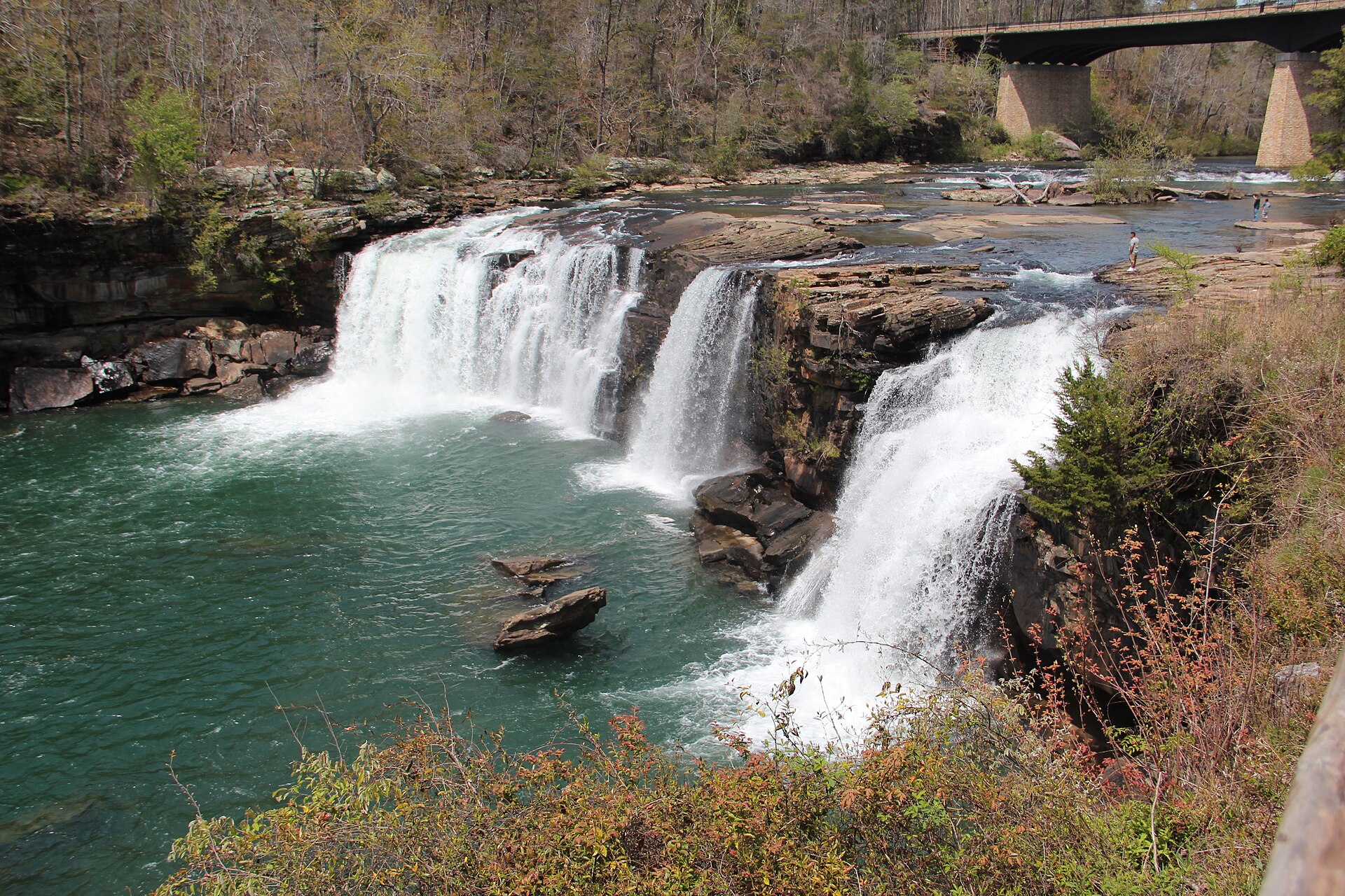
Fig. 1
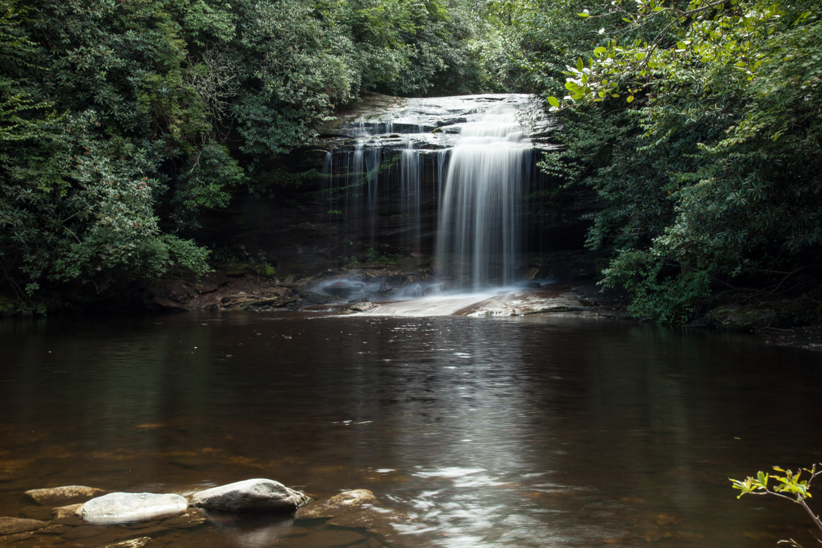
Tallulah Falls
Landform
A gorge nearly 1,000 feet deep, with a chain of falls and a suspension bridge. Georgia State Parks.
Field note
Georgia State Parks holds Tallulah Gorge, cut by the Tallulah River nearly 1,000 feet into the plateau. Hurricane Falls is the drop most people come for, and a suspension bridge crosses the gorge. Providence Canyon, on another plate, is the soft-sediment gullies in southwest Georgia, not this hard gorge.