Back to the atlas
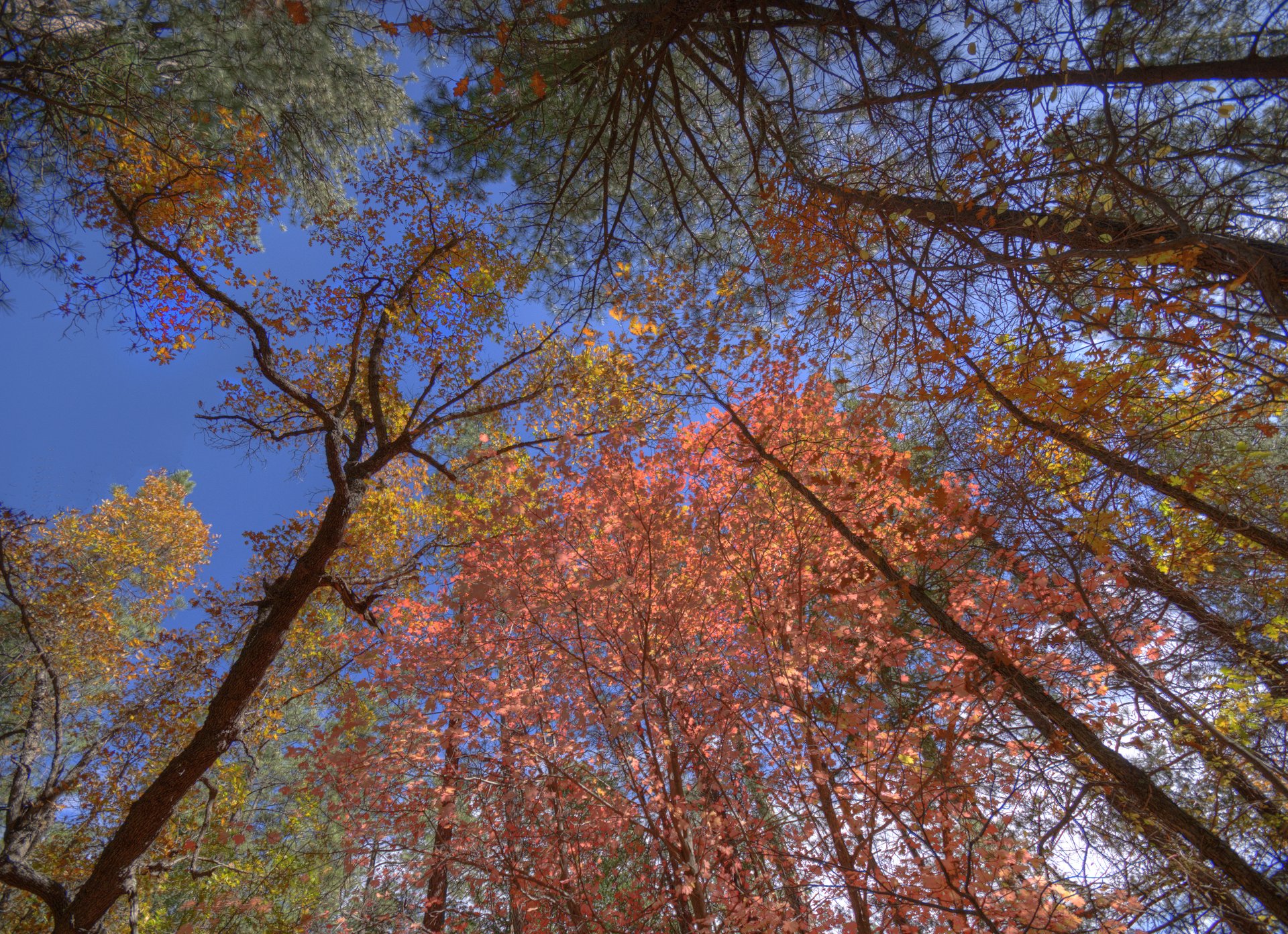
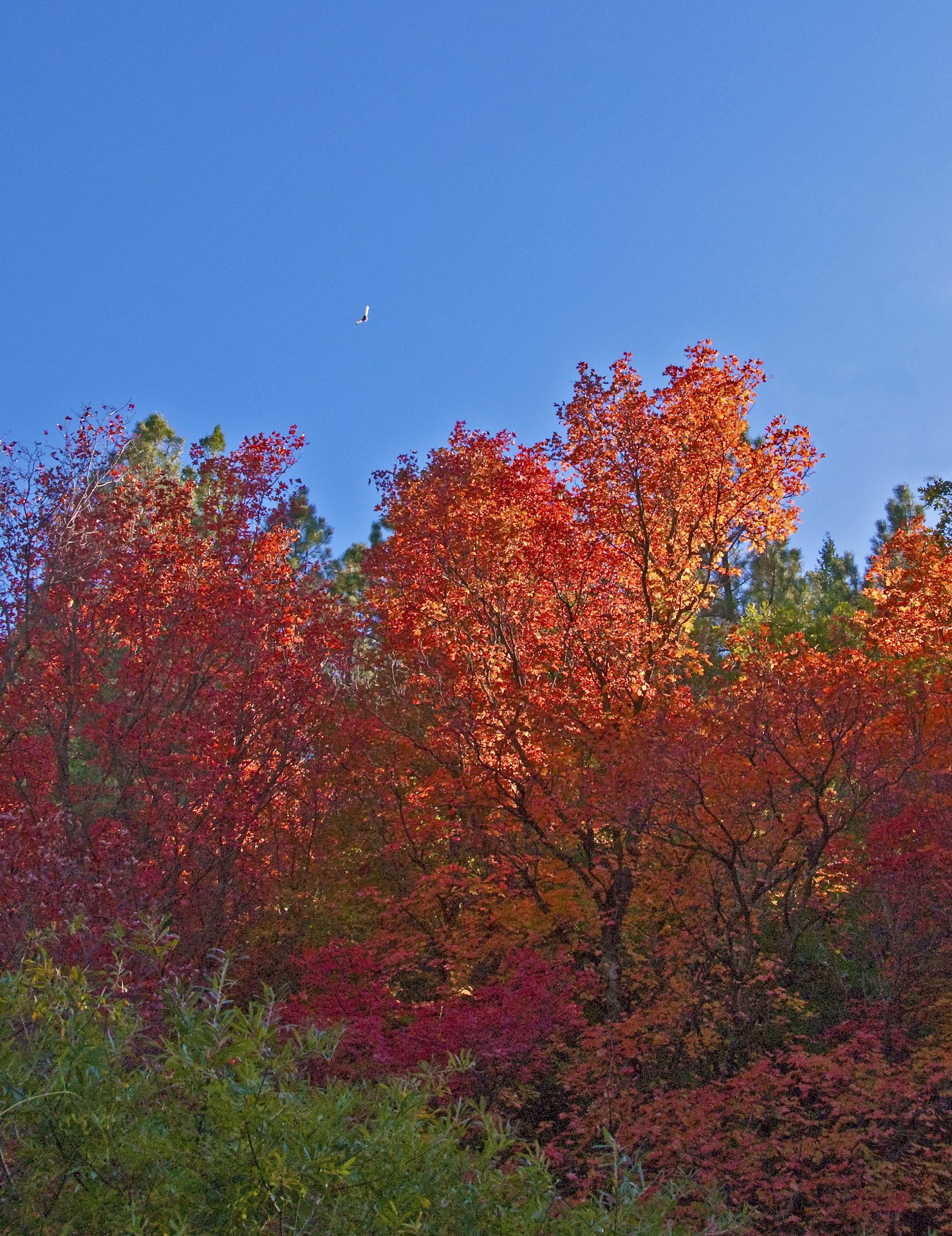
Bigtooth maple in Fourth of July Canyon, Manzano Mountains
Fig. 1

Bigtooth maple in Fourth of July Canyon, Manzano Mountains

Photo: John Fowler from Placitas, NM, USA · CC BY 2.0

Landform

Bigtooth maple on the east side of the Manzanos — the largest stand in New Mexico, at the head of Tajique Canyon, with a campground at the mouth.

Field note

Fourth of July Campground sits at the mouth of Tajique Canyon, on the east side of the Manzano Mountains, Mountainair Ranger District, Cibola National Forest. The Forest Service calls the trees at the head of the canyon the largest stand of Rocky Mountain bigtooth maple in New Mexico. Two loops of sites take tents and pop-up campers only. There is no water. The campground is open April through November. A night is $10; day use is $5 a vehicle. The Fourth of July Trail leaves the west end of the campground and climbs into the Manzano Mountain Wilderness toward the Manzano Crest Trail. The Albuquerque Trail and the Crimson Maple Trail start from the same complex. The maples turn red and gold in October. Tajique is the nearest town. This plate is Fourth of July Canyon in the Manzanos, not Fourth of July Lake in the White Cloud Mountains of Idaho and not Sandia Crest.

Fourth of July Canyon is the bigtooth maple stand at the head of Tajique Canyon, in the Manzano Mountains. The campground sits at the mouth. Tajique is the town. This plate is that Manzano canyon, not Fourth of July Lake in the White Clouds of Idaho.
Quick answers

Where is Fourth of July Canyon?
Fourth of July Canyon is in Tajique Canyon, Manzano Mountains, New Mexico. Coordinates 34.790° N · 106.379° W.
What is Fourth of July Canyon known for?
The Manzano canyon that keeps the maples.
What terrain is Fourth of July Canyon?
Fourth of July Canyon is forest country. Bigtooth maple on the east side of the Manzanos — the largest stand in New Mexico, at the head of Tajique Canyon, with a campground at the mouth.
When is the best time to visit Fourth of July Canyon?
The maples turn red and gold in October.
What is near Fourth of July Canyon?
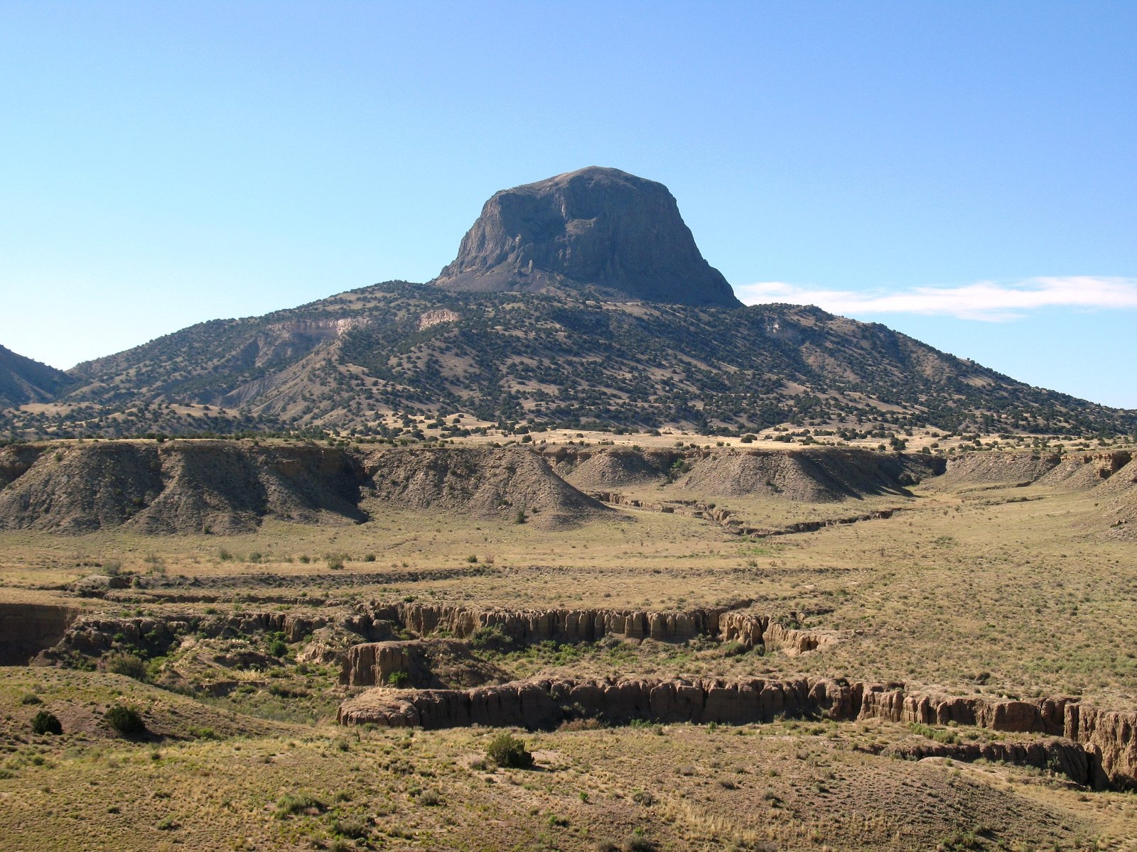
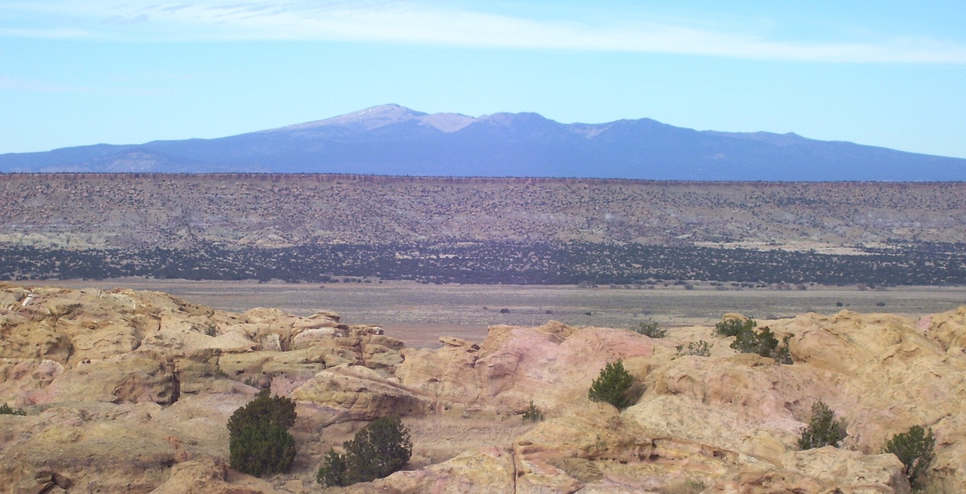
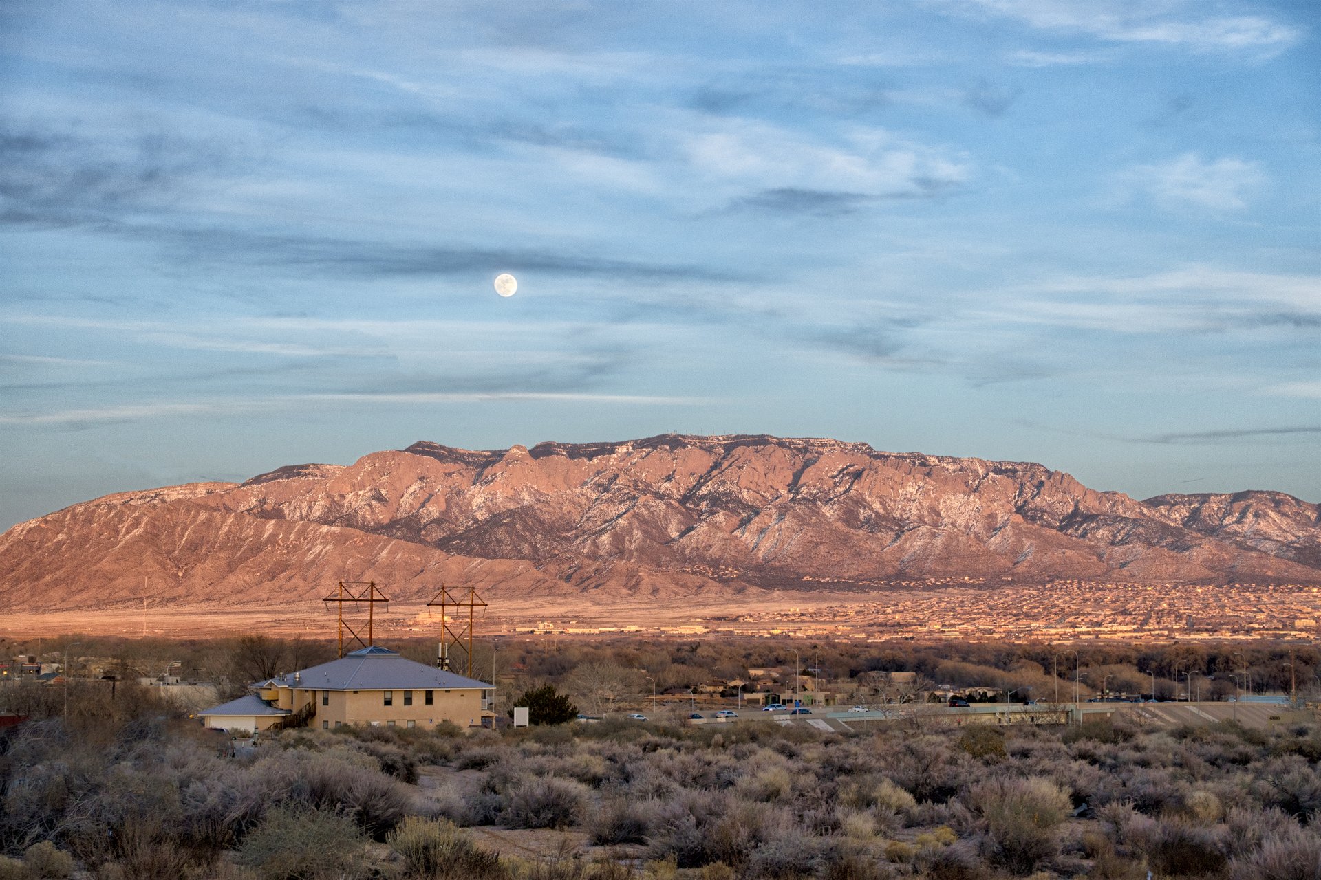
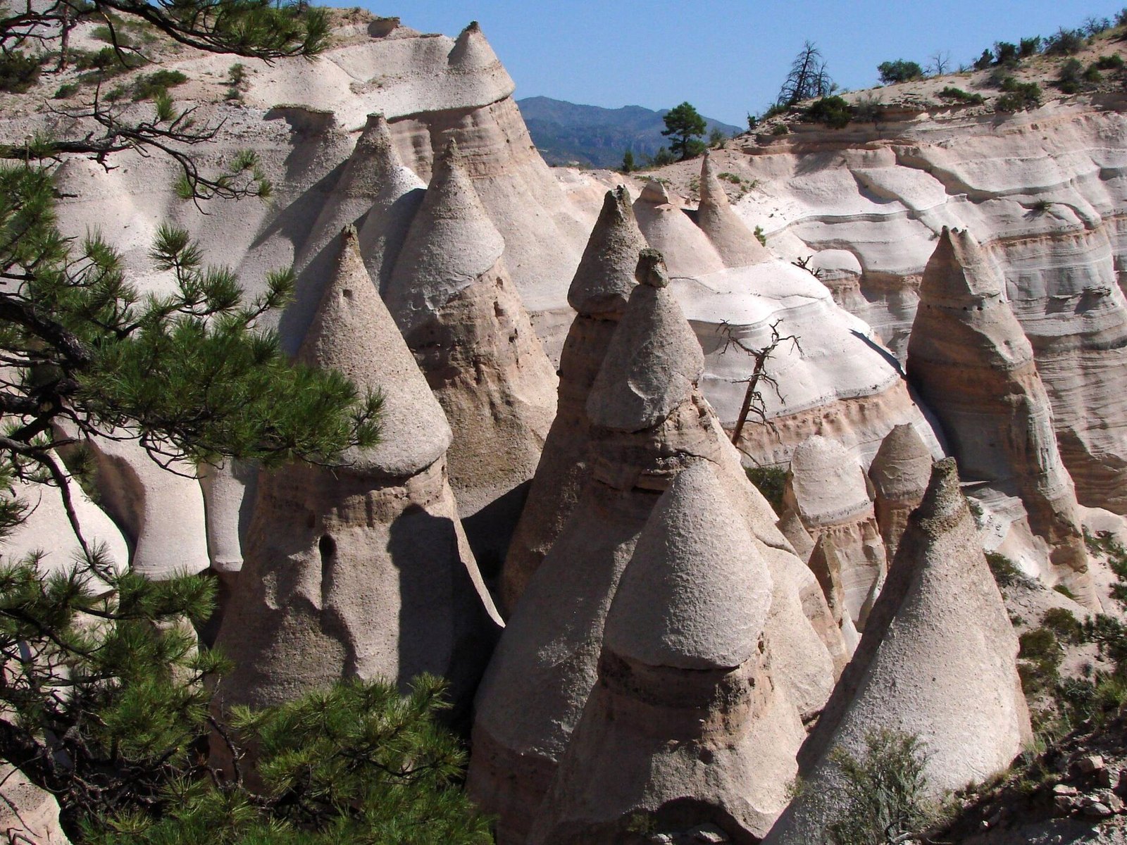
Nearby plates in this atlas include Sandia Crest in New Mexico, Kasha-Katuwe Tent Rocks in New Mexico, Cabezon Peak in New Mexico, and Mount Taylor in New Mexico.

Views & peaks

Inside this plate

Fourth of July Canyon

More forest in New Mexico: Gila Wilderness, Sugarite Canyon, Sandia Crest.

Onward

A day's country

The nearest plates, by the miles.

Quieter plates in the Southwest: El Malpais (Volcanic, 98 miles), Plaza Blanca (Hills, 100 miles), Ah-Shi-Sle-Pah (Desert, 128 miles), Kiowa National Grassland (Canyon, 142 miles), Bisti / De-Na-Zin (Desert, 146 miles), Organ Mountains (Hills, 169 miles).

Forest chapter

More forest destinations

Other US forest plates. See all forest destinations in the USA

Fold-out

On the chart

Vintage map of the United States