Back to the atlas
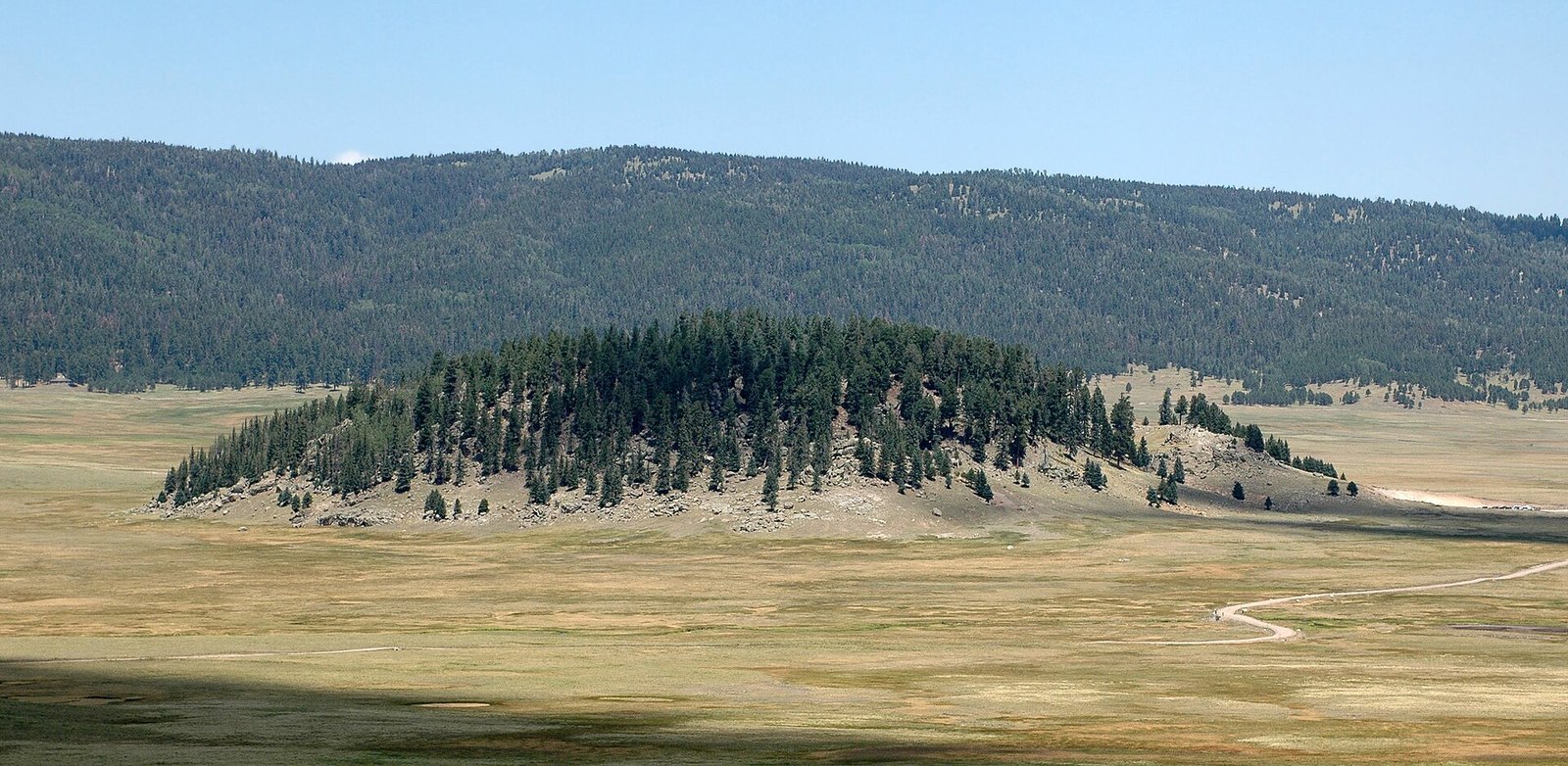
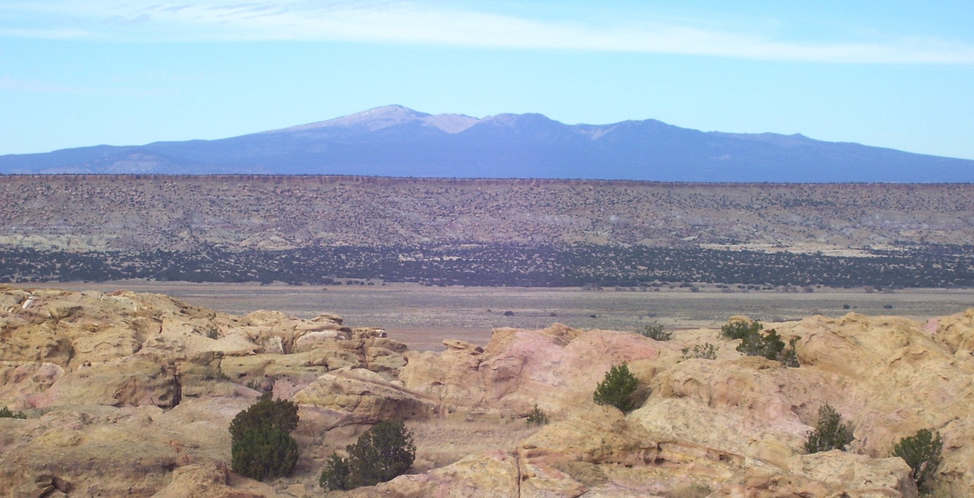
Mount Taylor from the west end of Acoma Pueblo
Fig. 1

Mount Taylor from the west end of Acoma Pueblo

Photo: Beyond My Ken · CC BY-SA 4.0

Landform

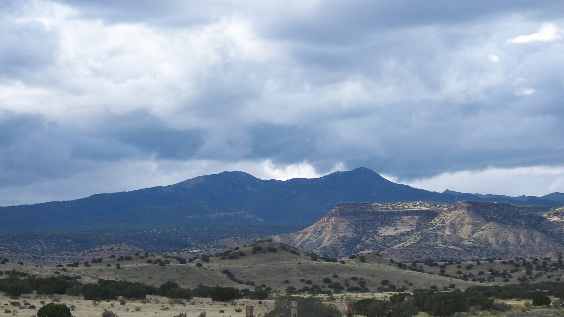
A dormant stratovolcano in the northern San Mateo Mountains — forest and meadow on an eroded cone, the high point of Cibola National Forest, above the lava of El Malpais.

Field note

Mount Taylor stands northeast of Grants, the high point of the northern San Mateo Mountains and of Cibola National Forest. It is a dormant stratovolcano. The summit mark is 11,305 feet on the current survey. Older maps still print 11,301. Navajo people call it Tsoodził, the turquoise mountain, the southern one of the four sacred mountains. Acoma, Laguna, Zuni, and the Hopi hold the mountain sacred too. The Gooseberry Springs Trail is the usual walk, from Forest Road 193 about five miles off New Mexico 547, on the Mt. Taylor Ranger District. The trailhead has no water. The path climbs about 2,000 feet through pine and aspen, then meadow, to the top. Grants is the nearest town. El Malpais is the lava south of town. Cabezon Peak is a plug in the same volcanic field. This plate is Mount Taylor near Grants, not Cabezon Peak and not El Malpais.

Mount Taylor is the stratovolcano northeast of Grants, high point of Cibola National Forest. The Gooseberry Springs Trail climbs it. Grants is the town. El Malpais is the lava to the south. This plate is Mount Taylor, not Cabezon Peak and not the malpais.
Quick answers

Where is Mount Taylor?
Mount Taylor is in Mt. Taylor Ranger District, northeast of Grants, New Mexico. Coordinates 35.239° N · 107.609° W.
What is Mount Taylor known for?
The cone above Grants.
What terrain is Mount Taylor?
Mount Taylor is volcanic country. A dormant stratovolcano in the northern San Mateo Mountains — forest and meadow on an eroded cone, the high point of Cibola National Forest, above the lava of El Malpais.
What is near Mount Taylor?
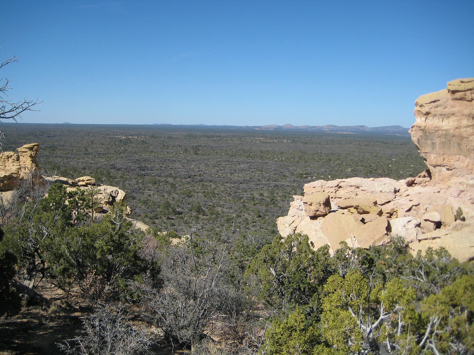
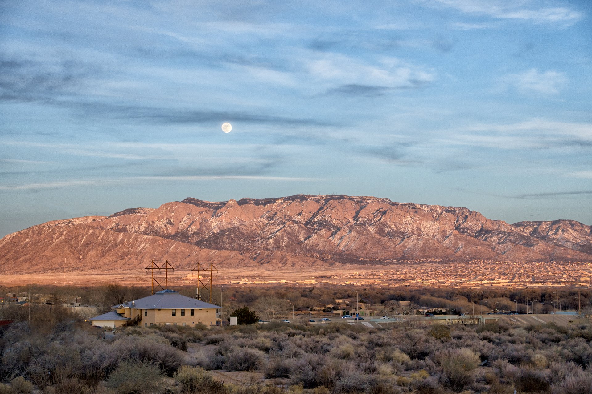
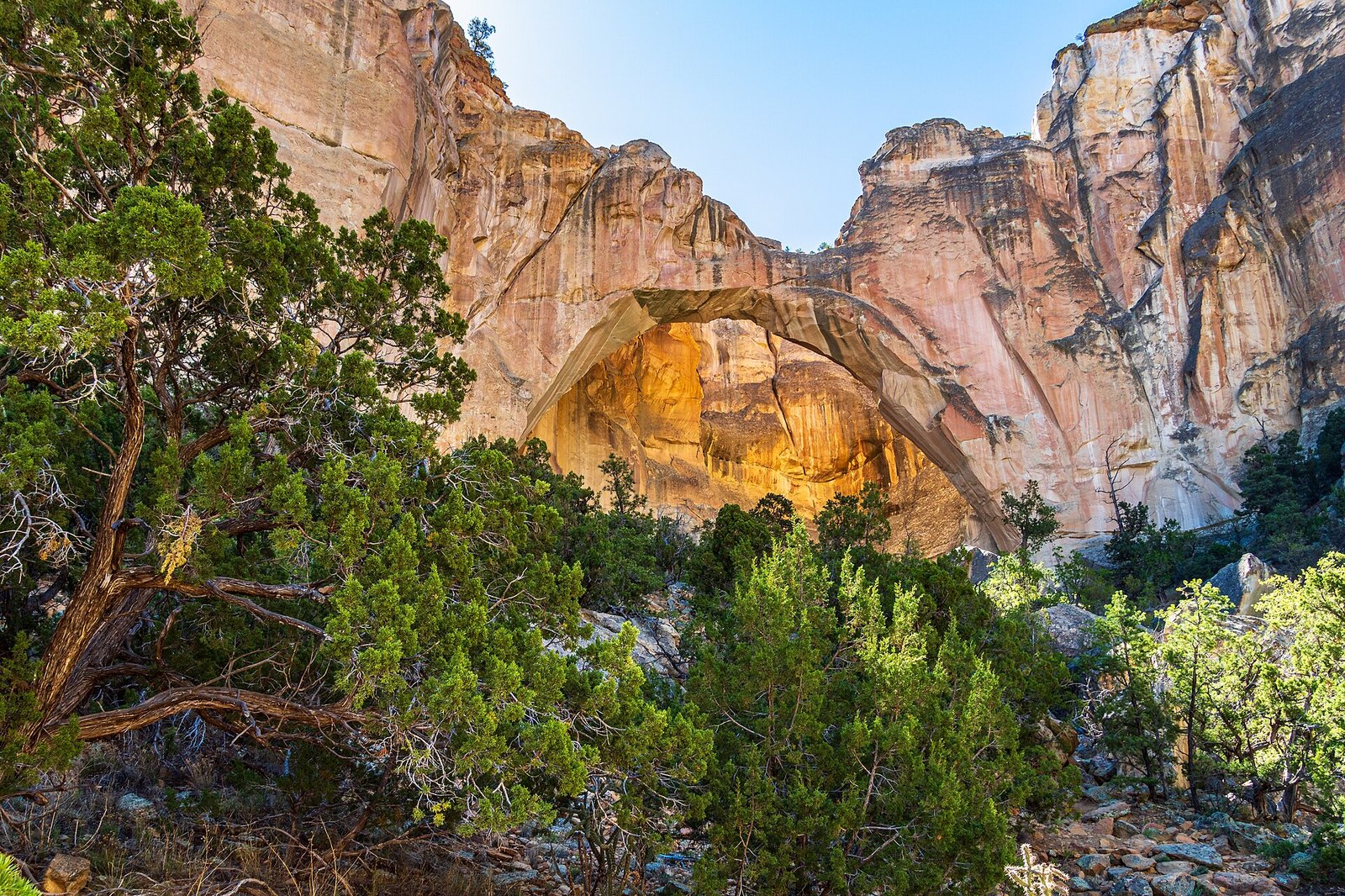
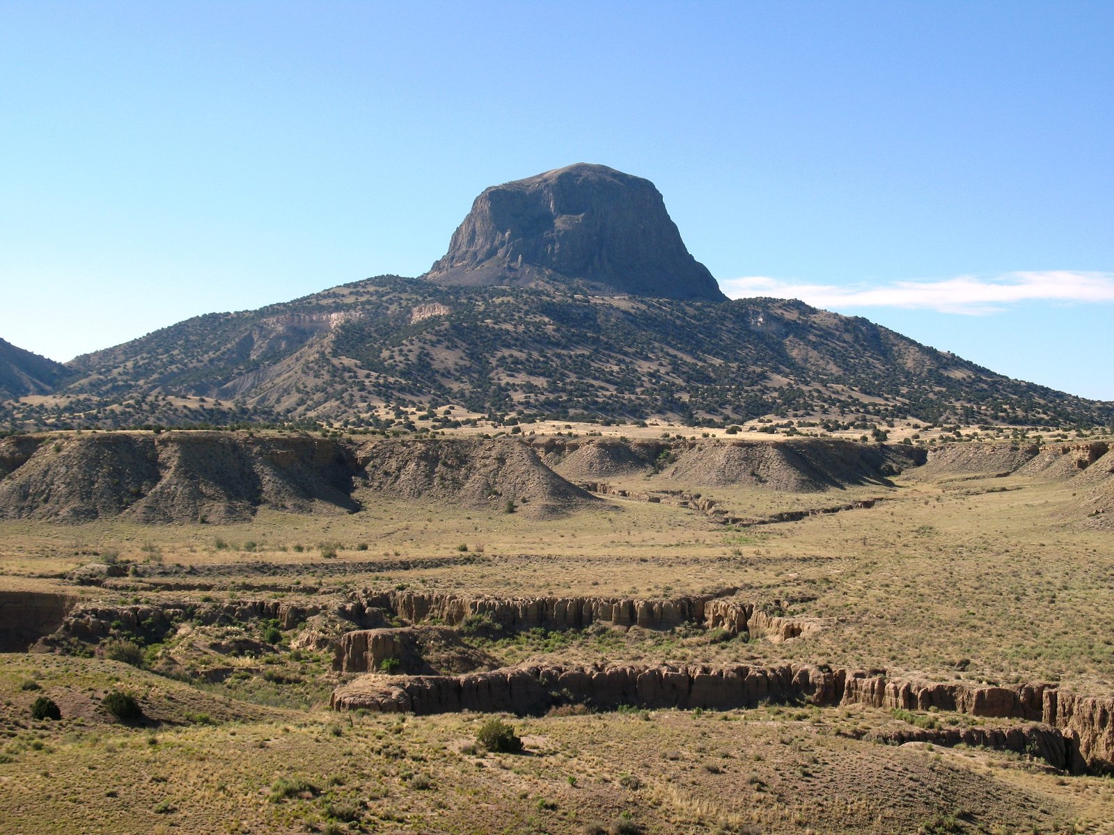
Nearby plates in this atlas include La Ventana in New Mexico, Cabezon Peak in New Mexico, El Malpais in New Mexico, and Sandia Crest in New Mexico.

Views & peaks

Inside this plate

Mount Taylor

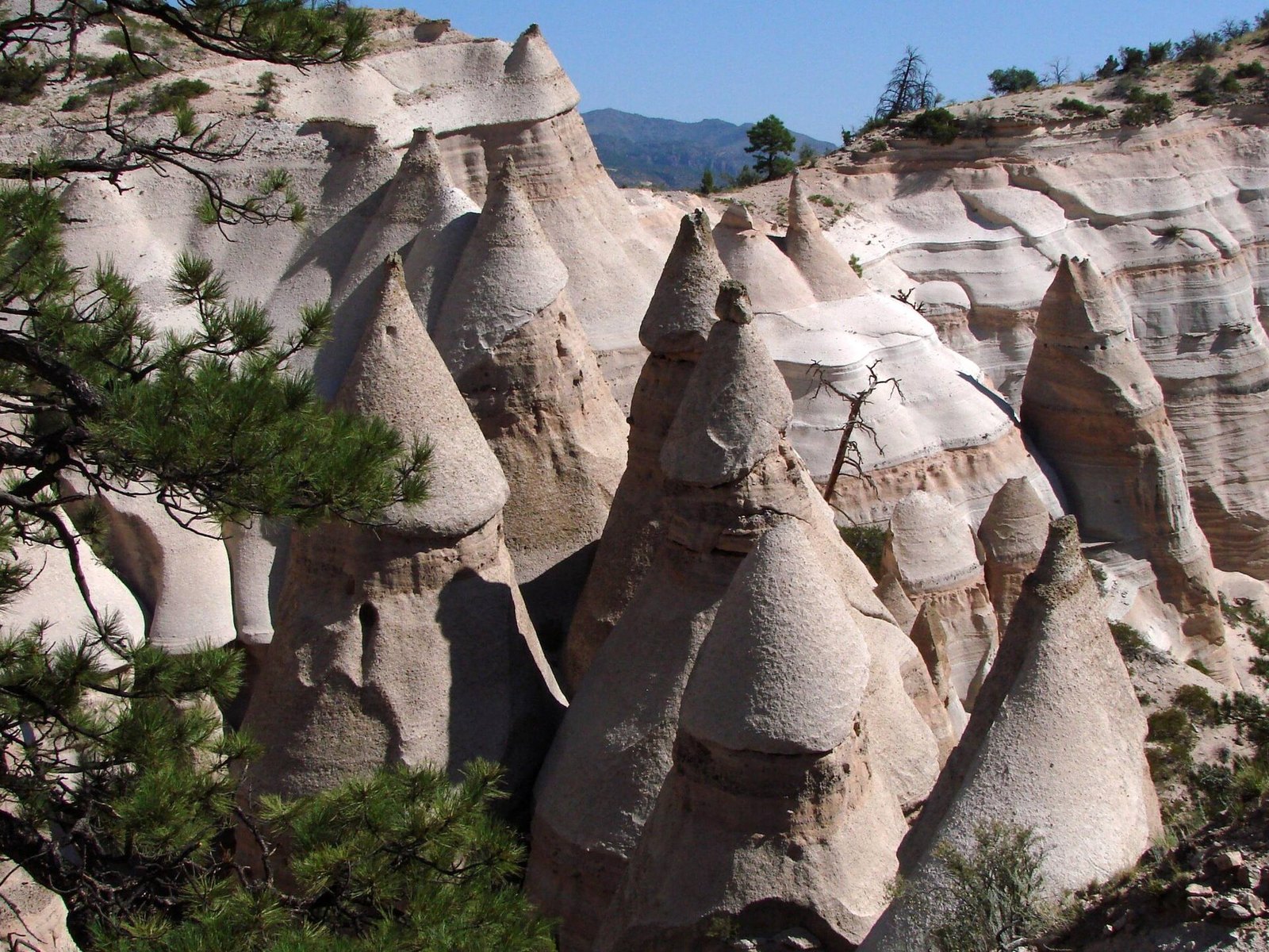
More volcanic in New Mexico: Shiprock, Kasha-Katuwe Tent Rocks, La Ventana, Cabezon Peak, Valles Caldera, City of Rocks.

Onward

A day's country

The nearest plates, by the miles.

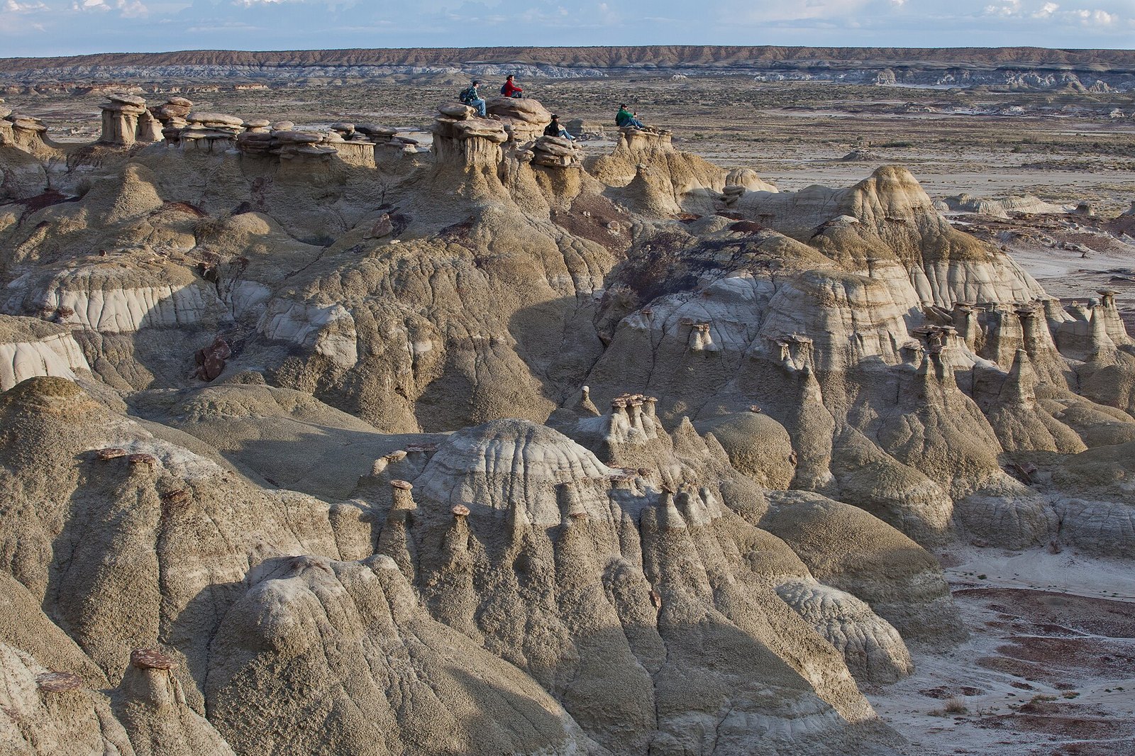
Quieter plates in the Southwest: Bisti / De-Na-Zin (Desert, 79 miles), Plaza Blanca (Hills, 100 miles), Pecos Wilderness (Alpine, 120 miles), Canyon de Chelly (Canyon, 121 miles), Blue Mesa (Desert, 123 miles), Jasper Forest (Badlands, 126 miles).

Volcanic chapter

More volcanic destinations

Other US volcanic plates. See all volcanic destinations in the USA

Fold-out

On the chart

Vintage map of the United States