Back to the atlas
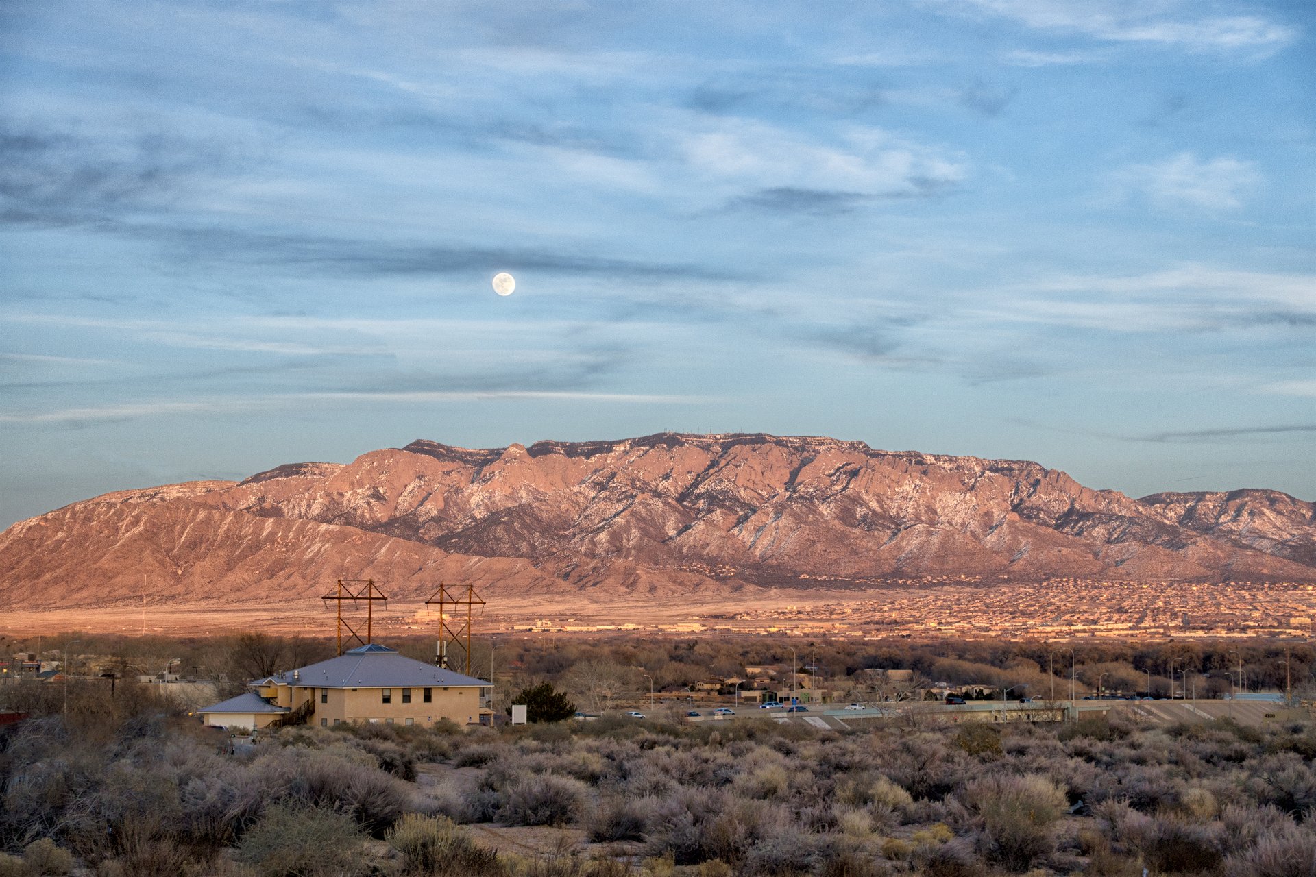
Limestone cliffs of Sandia Crest above Albuquerque
Fig. 1

Limestone cliffs of Sandia Crest above Albuquerque

Photo: John Fowler from Placitas, NM, USA · CC BY 2.0

Landform

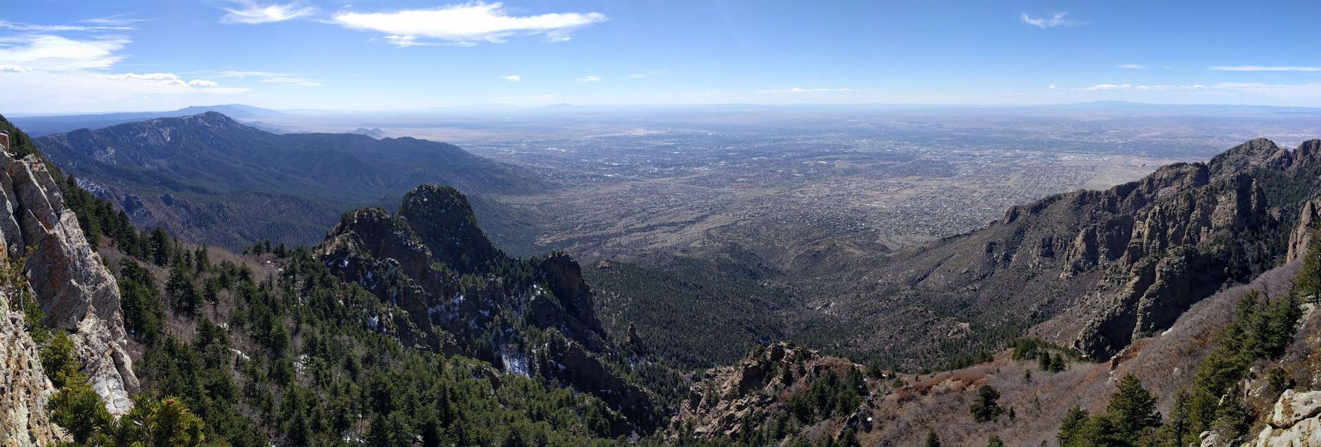
A limestone ridge, not a summit — Crest Trail 130 on the rim of the Sandia Mountains, spruce and fir behind the cliffs, Albuquerque a mile below.

Field note

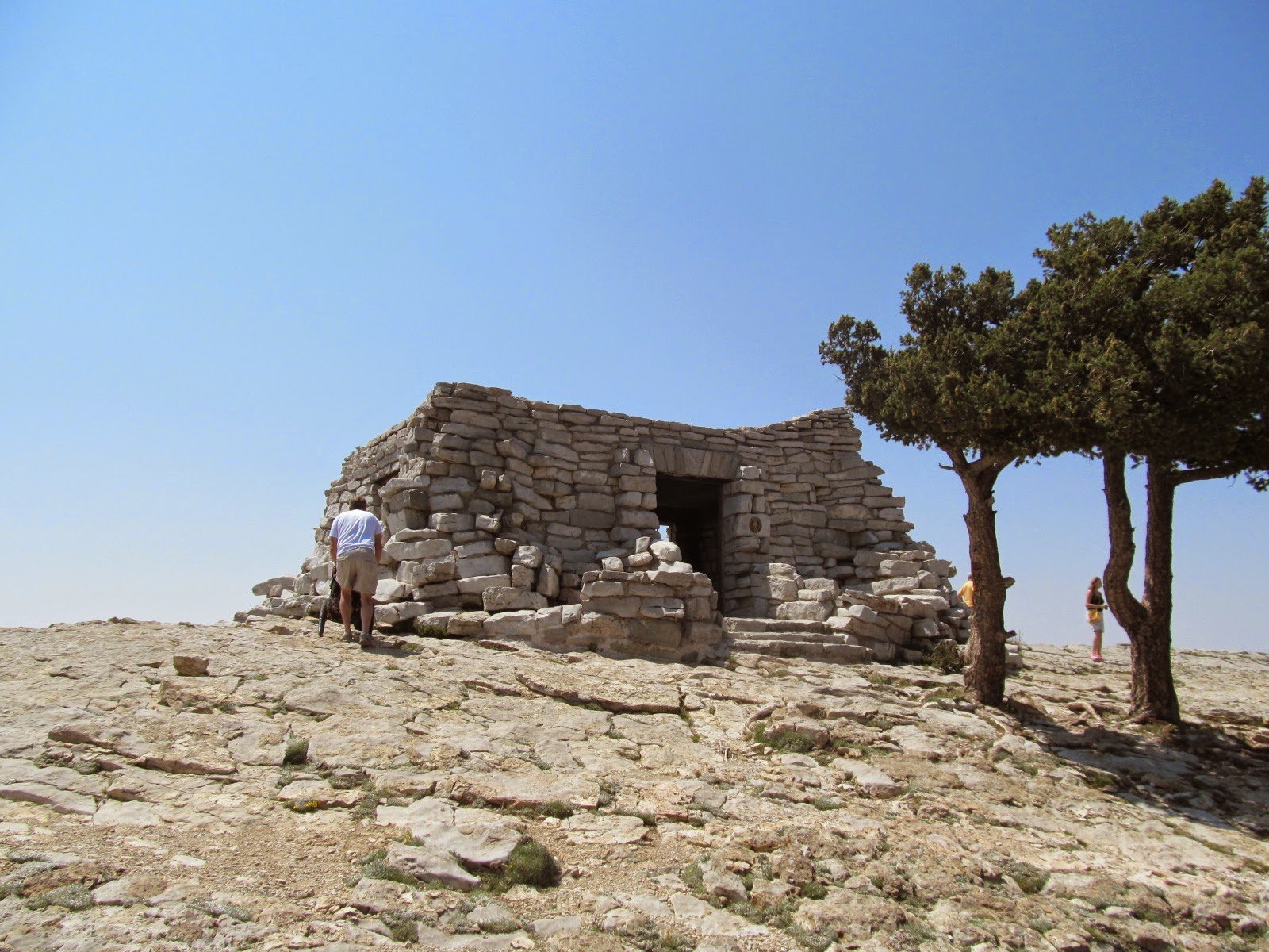
The Sandias do not come to a peak. The high ground is a long ridge, Sandia Crest, at 10,678 feet in Cibola National Forest. The Sandia Ranger District office is in Tijeras. Thick limestone holds the west rim. Crest Trail 130 follows that rim; from the crest lot a short stretch stays nearly level along the outcrops, then enters the woods. New Mexico 536, the Sandia Crest National Scenic Byway, climbs from Highway 14 and ends at the top. Albuquerque sits a mile below, in the Rio Grande valley. The Kiwanis Cabin is local limestone, built by the Civilian Conservation Corps, a short walk from the lot. June through September is the wildflower window on the crest. Storms build in the afternoon, and lightning on the open ridge is the risk. Cedar Crest is the nearest town. This plate is Sandia Crest, not the tram terminal on the west face and not Fourth of July Canyon in the Manzanos.

Sandia Crest is the long ridge east of Albuquerque, 10,678 feet, limestone along Crest Trail 130. Cedar Crest is the town. New Mexico 536 ends at the top. This plate is the crest, not the tram terminal and not Fourth of July Canyon.
Quick answers

Where is Sandia Crest?
Sandia Crest is in Sandia Ranger District, east of Albuquerque, New Mexico, near Cedar Crest. Coordinates 35.210° N · 106.450° W.
What is Sandia Crest known for?
The ridge Albuquerque looks up at.
What terrain is Sandia Crest?
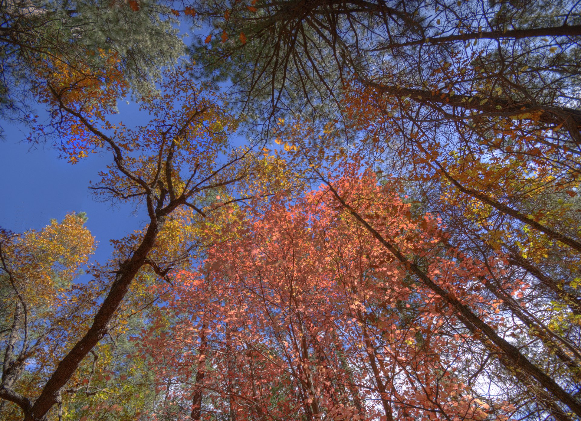
Sandia Crest is forest country. A limestone ridge, not a summit — Crest Trail 130 on the rim of the Sandia Mountains, spruce and fir behind the cliffs, Albuquerque a mile below.
When is the best time to visit Sandia Crest?
June through September is the wildflower window on the crest.
What is near Sandia Crest?
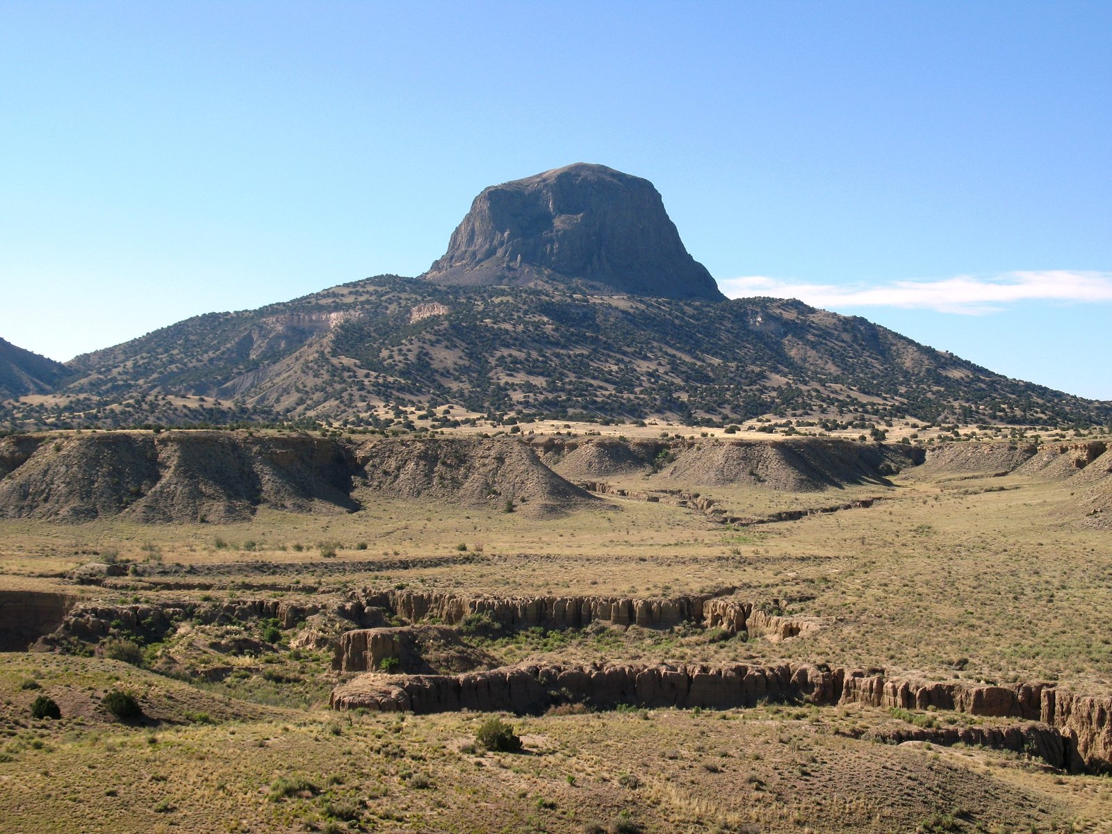
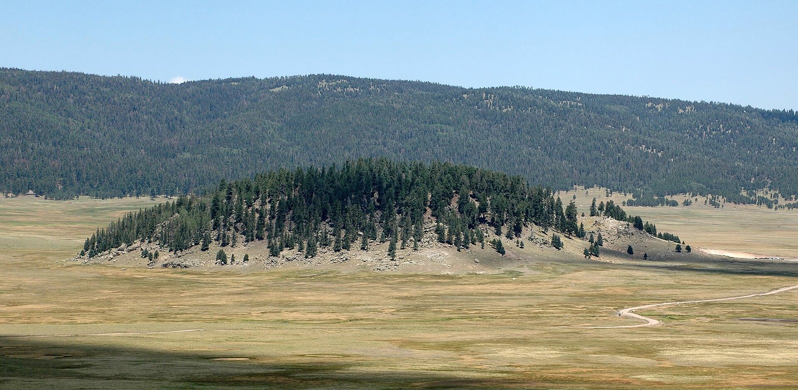
Nearby plates in this atlas include Fourth of July Canyon in New Mexico, Kasha-Katuwe Tent Rocks in New Mexico, Cabezon Peak in New Mexico, and Valles Caldera in New Mexico.

Views & peaks

Inside this plate

Sandia Crest

More forest in New Mexico: Gila Wilderness, Sugarite Canyon, Fourth of July Canyon.

Onward

A day's country

The nearest plates, by the miles.

Quieter plates in the Southwest: El Malpais (Volcanic, 96 miles), Ah-Shi-Sle-Pah (Desert, 105 miles), Valley of Fires (Volcanic, 110 miles), Bisti / De-Na-Zin (Desert, 124 miles), Kiowa National Grassland (Canyon, 130 miles), Square Tower House (Canyon, 177 miles).

Forest chapter

More forest destinations

Other US forest plates. See all forest destinations in the USA

Fold-out

On the chart

Vintage map of the United States