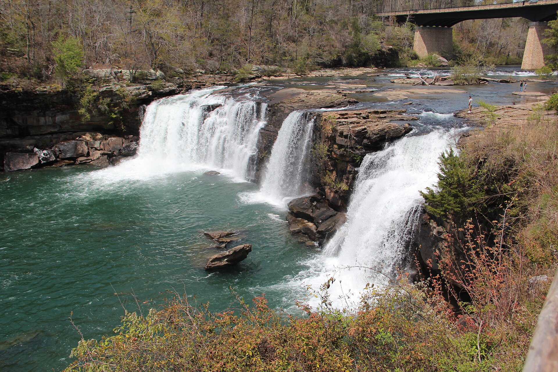
Fig. 1
River Styx, a partly subterranean waterway, emerges onto the surface in Mammoth Cave National Park
Landform
The longest known cave system, under a sinkhole plain of limestone, with the Green River in the valley below.
Field note
The National Park Service administers Mammoth Cave, a UNESCO World Heritage Site. Surveyed passage runs past 400 miles, with the Rotunda and Frozen Niagara among the rooms visitors walk. The Green River cuts the valley beside the sinkhole plain. Red River Gorge, to the east, is a different Kentucky plate — sandstone arches, not this cave.