Fig. 1
Swinging Bridge over Bear Creek in Tishomingo State Park
Landform
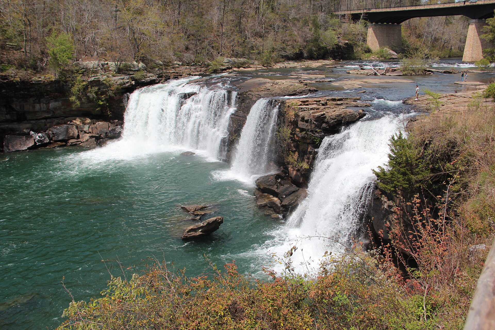
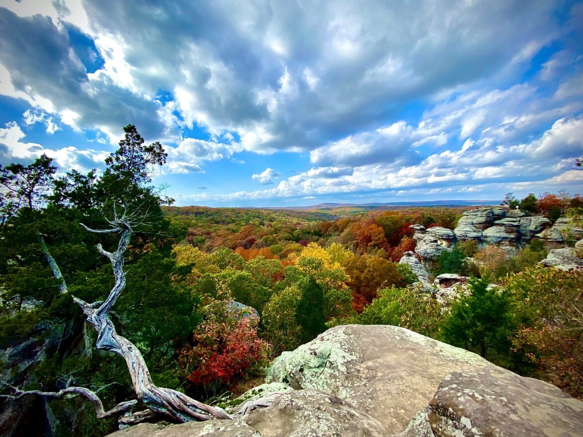
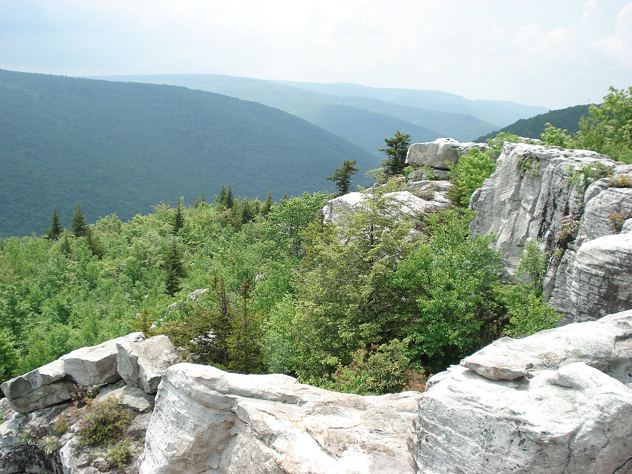
Appalachian-foothill sandstone in northeast Mississippi: boulders, a swinging bridge, and Bear Creek. Out of place in a Gulf state.
Field note
Mississippi State Parks holds Tishomingo, named for a Chickasaw chief. Paleozoic sandstone here is foothill rock, unlike the coastal plain of most of the state. A swinging bridge crosses Bear Creek among large boulders. Gulf Islands National Seashore is the Mississippi barrier-island plate. This one is the hills.