The Field Atlas
0/363Seas of sand
Dunes destinations in the USA
Sand dunes gather where wind has a long fetch and loose grain: Colorado’s Great Sand Dunes, Oregon’s coastal ridges, and inland basins that still behave like a shore.
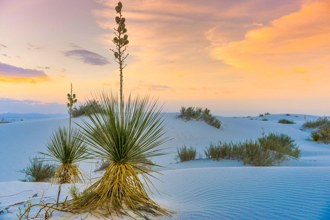
FrontispieceWhite Sands, New Mexico
Dune walking has no trail — look for the slip face, the windward ripple, and the hour when shadow makes the ridges readable.
- Plates
- 9
- States
- 8
States in this chapter
- California
- Colorado
- Idaho
- Michigan
- New Mexico
- Texas
- Utah
- Wyoming
Dunes chapter
The plates
Plate VIWhite Sands
duneTularosa Basin, New Mexico
A sea of gypsum that behaves like snow and light.
32.8° N · 106.3° WOpen plate →
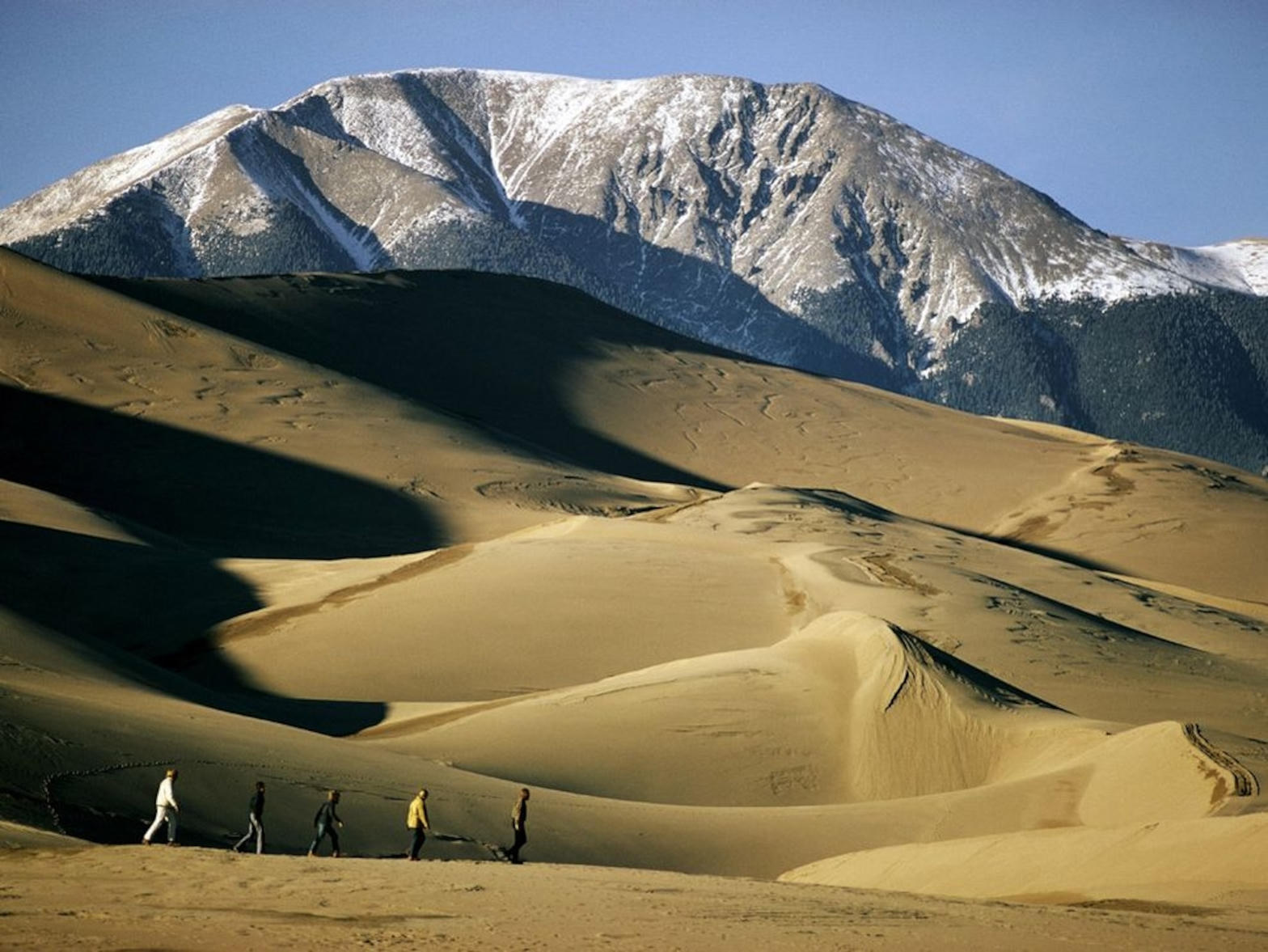 Plate XIX
Great Sand Dunes
duneSan Luis Valley, Colorado
A Sahara parked at the foot of fourteeners.
37.8° N · 105.6° WOpen plate →
 Plate XLVIII
Sleeping Bear Dunes
duneMichigan
A dune so high the lake looks like another sky.
44.9° N · 86.1° WOpen plate →
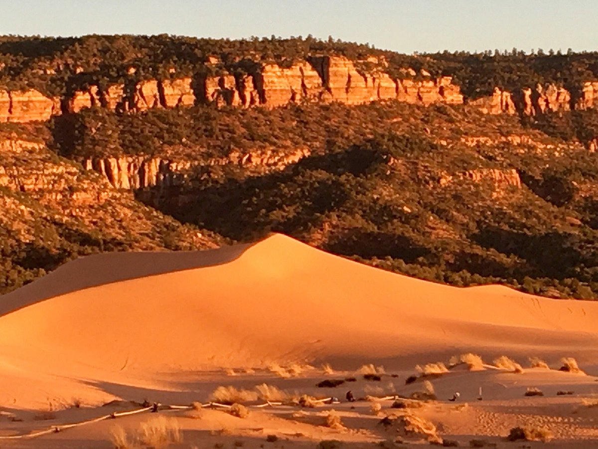 Plate CXLVII
Coral Pink Dunes
dunesouth of Mount Carmel Junction, Utah
Sand that is still the mountain, walking.
37.0° N · 112.7° WOpen plate →
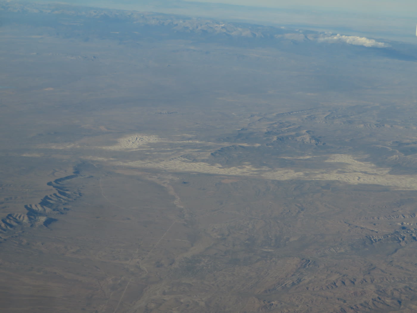 Plate CLXVI
Killpecker Dunes
duneRed Desert, Sweetwater County, Wyoming
Dunes that still move in a desert of sage.
42.0° N · 109.1° WOpen plate →
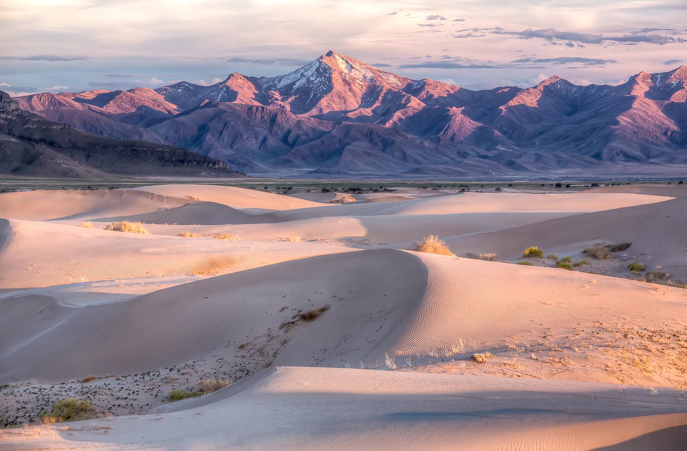 Plate CXCVII
Little Sahara
duneSevier Desert, Utah
A small Sahara the basin kept.
39.7° N · 112.3° WOpen plate →
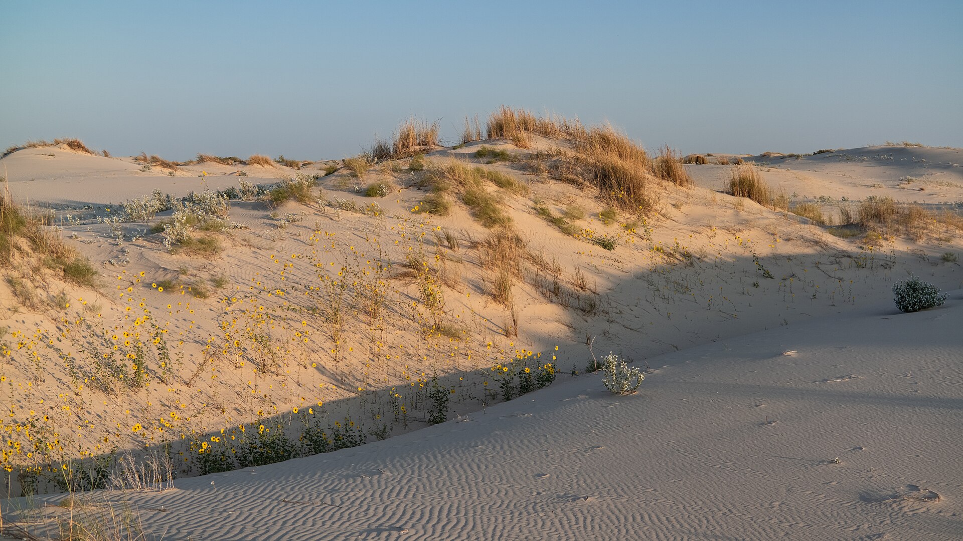 Plate CCL
Monahans Sandhills
dunePermian Basin, Ward County, Texas
A Sahara the basin kept between oil towns.
31.6° N · 102.8° WOpen plate →
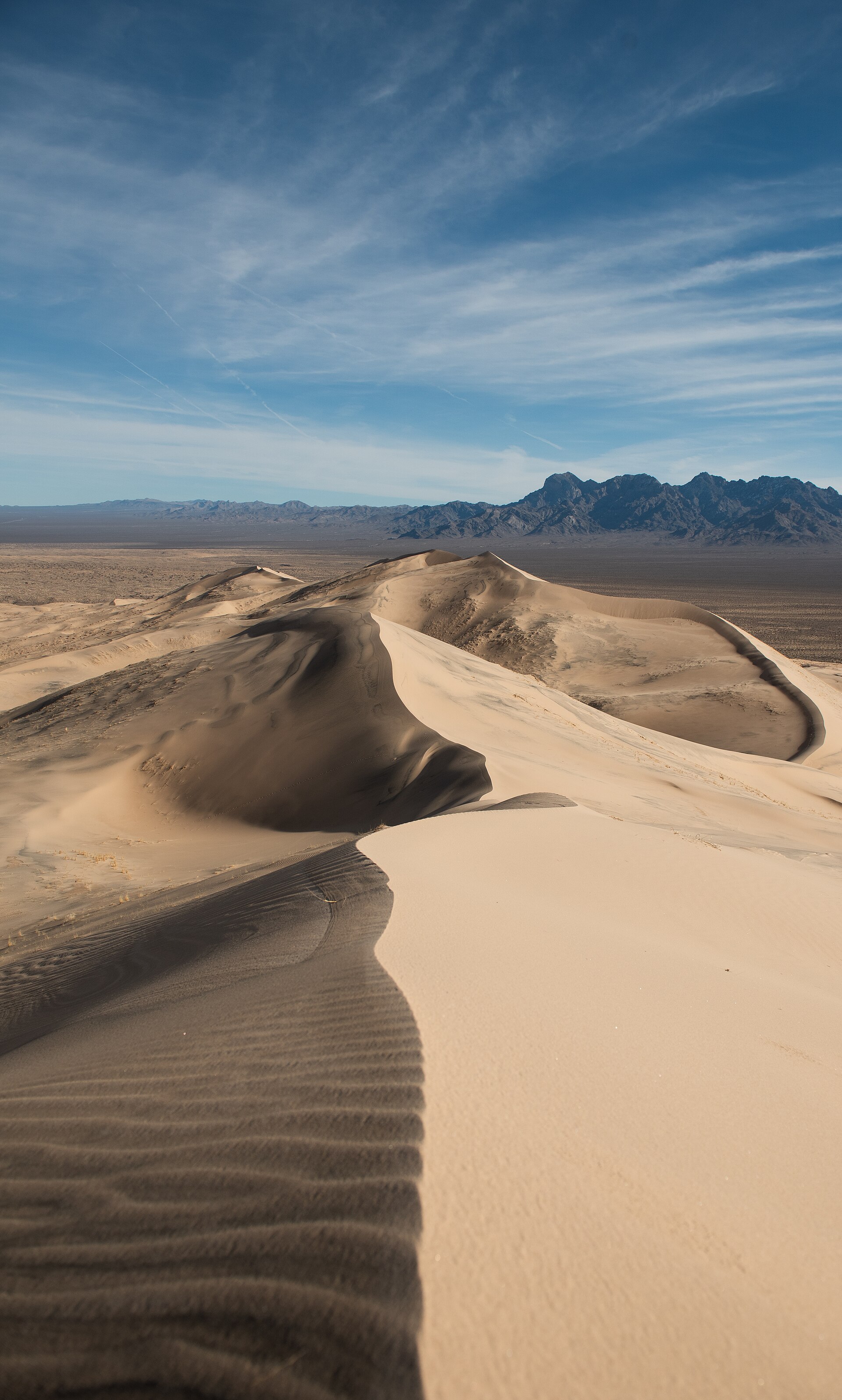 Plate CCCXII
Kelso Dunes
duneMojave National Preserve, California
A singing dune sea under the Providence Mountains.
34.9° N · 115.7° WOpen plate →
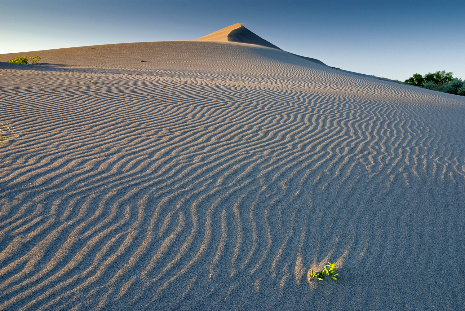 Plate CCCXXIII
Bruneau Dunes
duneBruneau Dunes State Park, Snake River Plain, Idaho
A pale dune ridge over sage and a hard Idaho sky.
42.9° N · 115.7° WOpen plate →
Asked at the trailhead
Questions already asked
- Where are the best sand dunes in the USA?
- Great Sand Dunes in Colorado is the tallest. This atlas also maps coastal dunes and inland fields such as Monahans Sandhills in Texas so a trip can compare more than one shore of sand.
Change course